The best road cycling routes around Oasi WWF Lago di Campolattaro
4.6
(33)
355
riders
46
rides
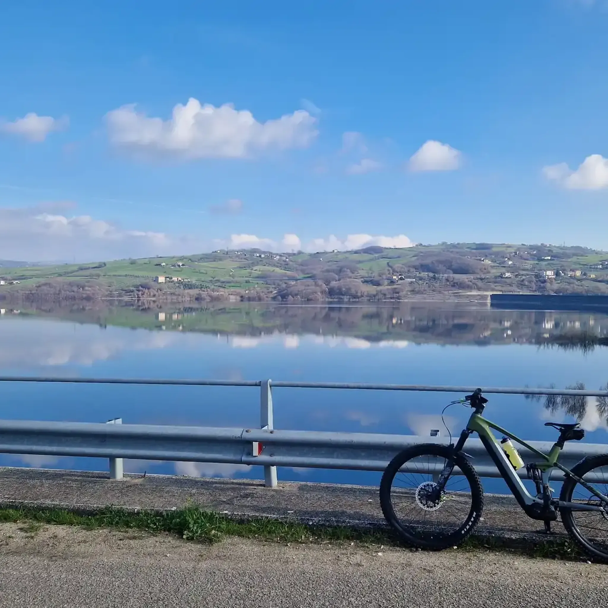
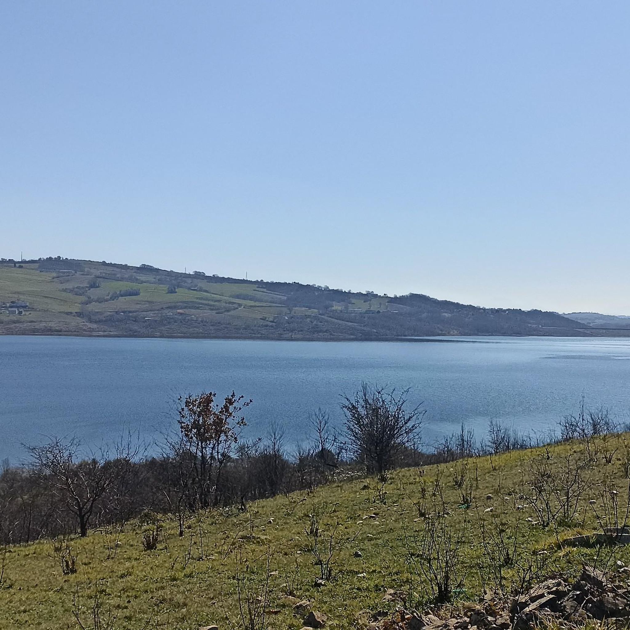
Road cycling routes around Oasi WWF Lago di Campolattaro traverse a landscape characterized by the Tammaro valley and the foothills of the Matese mountains. The region features varied terrain, including rolling hills, open countryside, and sections near the lake. Road cyclists can expect routes that combine flat stretches with ascents, offering diverse riding conditions. The area provides a mix of natural scenery and rural roads suitable for road biking.
Best road cycling routes around Oasi WWF Lago di Campolattaro
- The…
Last updated: July 2, 2026
14
riders
79.3km
04:06
1,290m
1,290m
Hard road ride. Very good fitness required. Mostly well-paved surfaces and easy to ride.
11
riders
73.0km
03:49
1,240m
1,240m
Hard road ride. Very good fitness required. Mostly well-paved surfaces and easy to ride.

Sign up for free
17
riders
67.0km
03:45
1,350m
1,350m
Hard road ride. Very good fitness required. Mostly well-paved surfaces and easy to ride.
2
riders
22.6km
01:11
400m
400m
This moderate 14.0-mile (22.6 km) road cycling route around Lake Campolattaro offers scenic views and wildlife spotting opportunities.
119km
06:15
2,300m
2,300m
Hard road ride. Very good fitness required. Mostly well-paved surfaces and easy to ride.
Get access to more routes and recommendations from other explorers.
Sign up for free
Already have an account?
Our route recommendations are based on thousands of hikes, rides, and runs completed by other people on komoot.
Start today with a free account
Your next adventure awaits.
Login or Signup
Popular around Oasi WWF Lago di Campolattaro
Tips from the Community

Pond with picnic area. For members it is also possible to fish. Be careful when you have a snack, two mallards will come to visit you 🦆, ready to scrounge up some food 😄
0
0

Bosco Mazzocca is a nature reserve located in the Molise region of Italy. This forest is a protected area rich in flora and fauna, with extensions of majestic trees and trails for hiking enthusiasts.
0
0

Small lake but very nice thanks to the nature that surrounds it located in the municipality of Colle Sannita.
1
0
A beautiful green area of about 450 hectares, a forest full of ash trees and wild animals. There are also benches and tables where you can relax. The natural area is located about 45 minutes by car from Campobasso
1
0

Pietrelcina is a town in the province of Benevento famous for being the birthplace of San Pio da Pietrelcina, the Capuchin saint with the stigmata. There are many places linked to the life and spirituality of Saint Pio, such as his birthplace and the convent of the Capuchin Friars Minor.
1
0
Lake San Giorgio, also known as Lake Mignatta, is a semi-artificial basin in the municipality of San Giorgio la Molara. It is about 850 meters above sea level and there are several picnic areas where you can stop for a break.
1
0
Montefalcone di Val Fortore is a town in the province of Benevento, near the border between Campania and Puglia. The Fortore river is born in the municipal area and is the highest municipality in the province with the historic village located more than 800 meters above sea level.
2
0
Frequently Asked Questions
What kind of terrain can I expect on road cycling routes around Oasi WWF Lago di Campolattaro?
The region offers diverse terrain, characterized by the Tammaro valley and the foothills of the Matese mountains. You'll find a mix of rolling hills, open countryside, and sections near the lake, providing both flat stretches and ascents.
Are there road cycling routes suitable for beginners in Oasi WWF Lago di Campolattaro?
Yes, there are routes suitable for beginners. Out of the 41 available road cycling routes, 2 are classified as easy, and 16 are moderate, offering gentler options for those new to road cycling in the area.
Where can I find challenging road cycling routes near Oasi WWF Lago di Campolattaro?
For experienced cyclists seeking a challenge, the region offers 23 difficult routes. A notable option is From the Tammaro valley to the Matese mountains – loop tour from Pontelandolfo, which covers 41.6 miles (67.0 km) with significant elevation gain.
Are there any circular road cycling routes around Lago di Campolattaro?
Yes, many routes in the area are loops. A popular moderate option is the Lake Campolattaro WWF Oasis Loop, which circles the lake, offering scenic views and a manageable distance of 14.0 miles (22.6 km).
What is the best time of year for road cycling in Oasi WWF Lago di Campolattaro?
The region's climate generally supports road cycling from spring through autumn. Summer can be warm, but routes with shade or early morning starts are enjoyable. Spring and autumn offer milder temperatures and beautiful scenery.
What do other road cyclists enjoy most about the routes in Oasi WWF Lago di Campolattaro?
The area is highly rated by the komoot community, with an average score of 4.4 stars from over 20 reviews. Cyclists often praise the varied terrain, combining river valleys, rolling hills, and rural roads, as well as the natural scenery.
How long do road cycling routes typically take in this area?
Route durations vary significantly based on distance and difficulty. For example, the moderate Lake Campolattaro WWF Oasis Loop takes about 1 hour 11 minutes, while the difficult Pietrelcina and the Valle del Fortore – loop tour from Campolattaro can take around 6 hours 15 minutes.
Are there any long-distance road cycling routes available?
Yes, for those looking for longer rides, routes like Pietrelcina and the Valle del Fortore – loop tour from Campolattaro span 73.8 miles (118.8 km), offering extensive exploration of valleys and rural landscapes.
Can I find routes that offer scenic viewpoints or opportunities for wildlife spotting?
The routes often traverse natural scenery and rural roads, particularly around the WWF Oasis and the Tammaro valley. While specific viewpoints aren't always marked, the varied landscape provides many scenic vistas, and the natural environment of the oasis can offer opportunities for wildlife observation.
How many road cycling routes are available in total around Oasi WWF Lago di Campolattaro?
There are over 40 road cycling routes available around Oasi WWF Lago di Campolattaro, offering a wide range of options for different skill levels and preferences.
Are there any family-friendly road cycling options in the area?
While specific 'family-friendly' designations are not provided, the 2 easy and 16 moderate routes, especially those with less elevation gain and away from heavy traffic, would be suitable for families looking for a more relaxed ride. The Lake Campolattaro WWF Oasis Loop is a moderate option that circles the lake, which could be a good choice.
Most popular routes around Oasi WWF Lago di Campolattaro

Get inspired with the komoot mobile app


Explore more
Browse the best Road cycling routes in other regions.
