The best road cycling routes around El Hoyo De Pinares
3.5
(18)
1,423
riders
56
rides
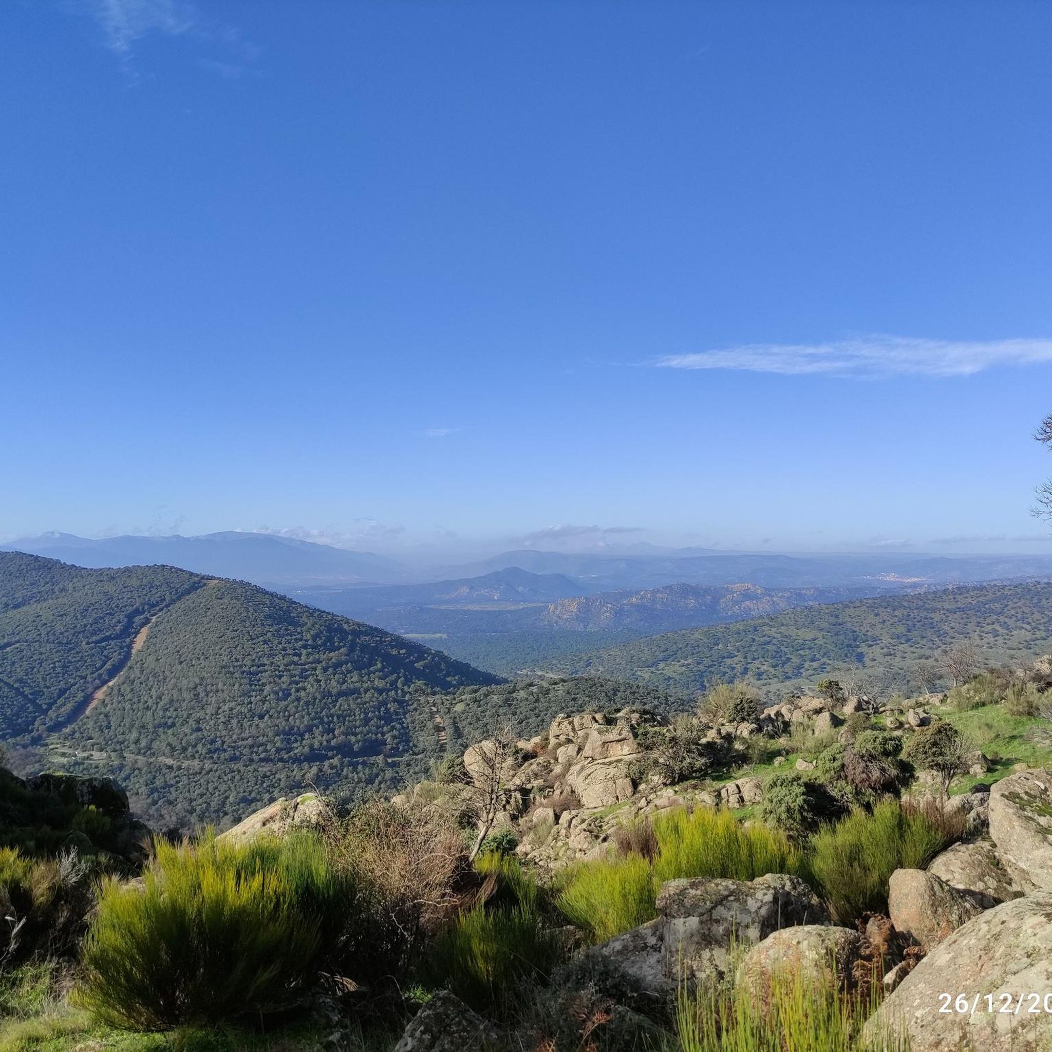
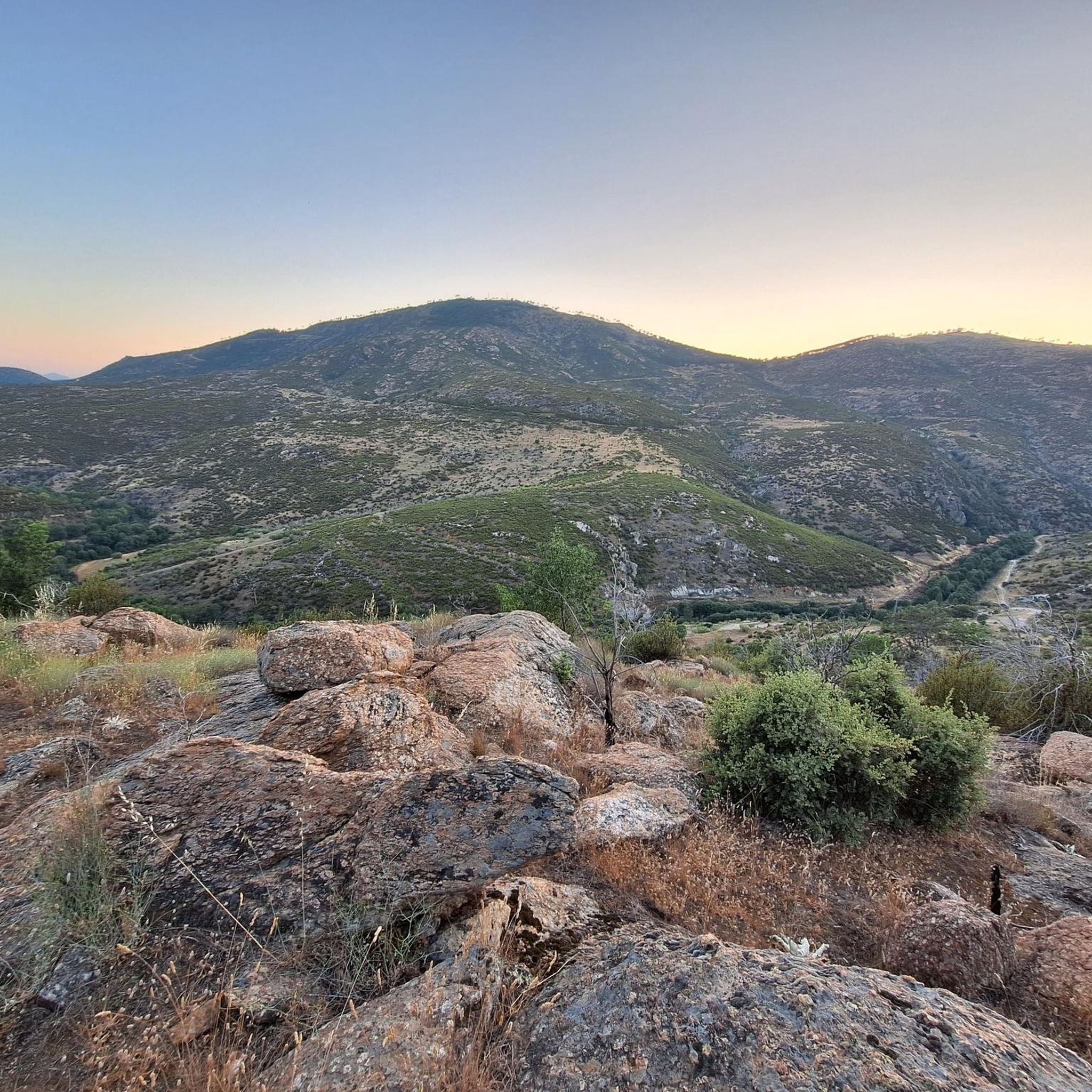
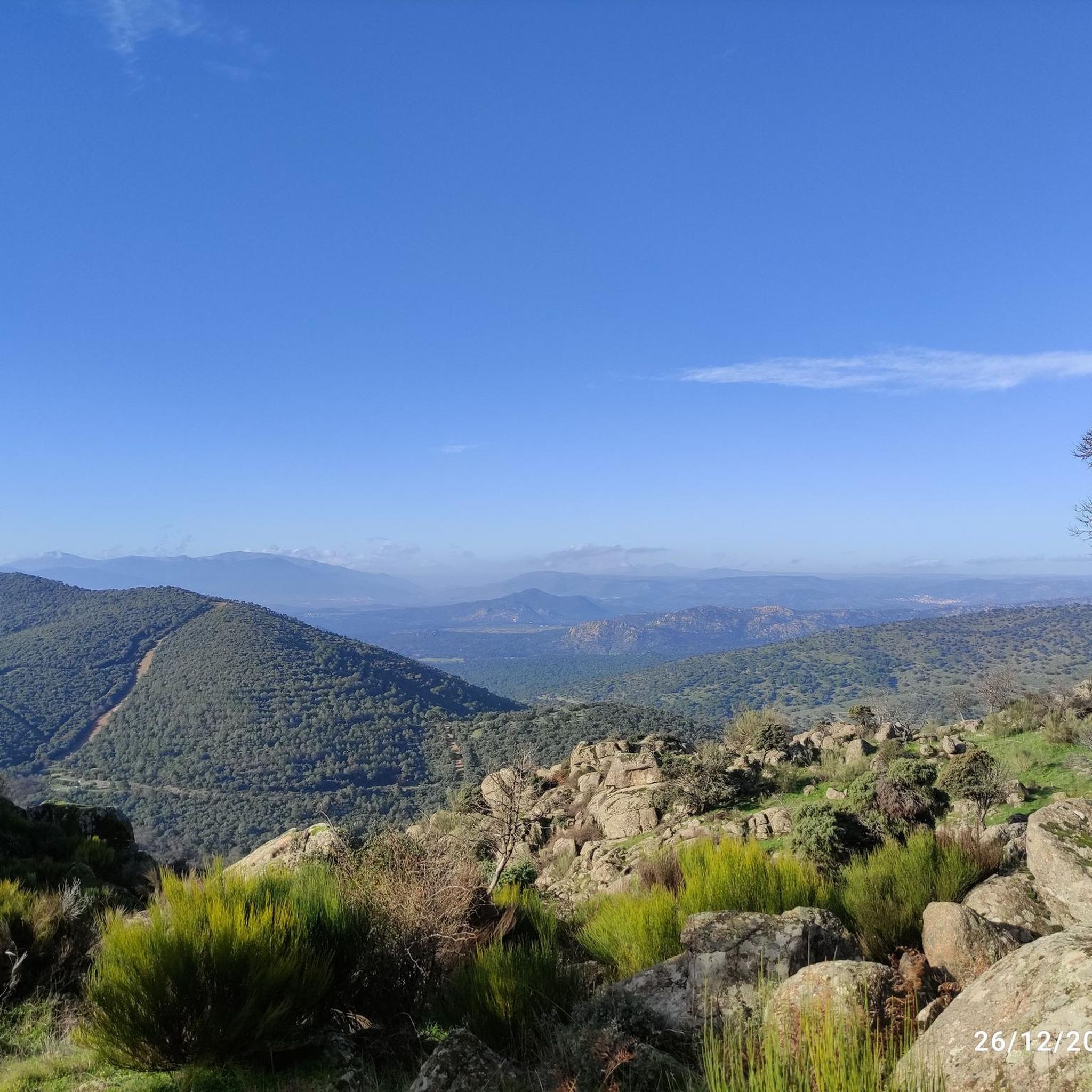
Road cycling routes around El Hoyo De Pinares are set within the Alberche Valley, characterized by extensive pine forests and diverse landscapes. The region features varied terrain, including valleys and granite formations, offering a mix of inclines and flatter sections. Water bodies like Embalse Becedas I and the historic Puente Mocha add to the scenic appeal for road cyclists.
Best road cycling routes around El Hoyo De Pinares
- The most popular road cycling route is Embalse de San Juan y…
Last updated: November 1, 2026
30
riders
Hard road ride. Very good fitness required. Mostly well-paved surfaces and easy to ride.
17
riders
73.8km
03:50
1,290m
1,290m
Hard road ride. Very good fitness required. Mostly well-paved surfaces and easy to ride.

77
riders
110km
05:33
1,790m
1,790m
Hard road ride. Very good fitness required. Mostly well-paved surfaces and easy to ride.
46
riders
82.8km
04:28
1,690m
1,690m
Hard road ride. Very good fitness required. Mostly well-paved surfaces and easy to ride.
5.0
(2)
47
riders
Hard road ride. Very good fitness required. Mostly well-paved surfaces and easy to ride.
Get access to more routes and recommendations from other explorers.
Already have an account?
Our route recommendations are based on thousands of hikes, rides, and runs completed by other people on komoot.
Start today with a free account
Your next adventure awaits.
Tips from the Community

The visit to the medieval city wall from the 11th-14th century is highly recommended with its 88 towers and 9 city gates - the entrance fee is justified, a large part of the city wall is accessible. Unfortunately, there were too few audio guides - we didn't have any. You have grandiose views of the Congress Hall, the Carmelite Convent of San José (place of activity of St. Teresa in the 16th century), the Cathedral, the Romanesque Church of San Vicente and into the nearby mountains.
0
0

It's an open pass in the inhospitable landscape typical of this area. It's highly recommended because it offers easy connections to other passes such as Serranillos and Mijares.
0
0

A relatively simple port, with good asphalt and road visibility, moderate (average 5%) and constant gradients. It can be tricky on a windy day.
0
0

The Alcázar Gate is one of the most impressive entrances to the Ávila wall. Located to the east of the walled area, it is distinguished by its two large towers, each over 20 meters high, connected by a semicircular arch. This gate was one of the first to be built, along with the San Vicente Gate, and retains its Romanesque style.
6
0
The Walls of Ávila are an impressive medieval fortification that surrounds the old town of Ávila, in Castile and León. These walls, built in the 11th century, are one of the best-preserved walled enclosures in Spain and were declared a UNESCO World Heritage Site in 1985.
11
0
This bridge was built to facilitate crossing the Adaja River and connect the Roman city of Ávila with the opposite bank. Although only the hidden abutments on the edges of the original Roman bridge remain, the bridge visible today dates back to the 12th century.
13
0

The truth is that it is a wonderful viewpoint of Ávila.
1
0
Perhaps the most beautiful gate of all those in the wall.
2
1
Frequently Asked Questions
How many road cycling routes are available in the El Hoyo de Pinares area?
There are over 50 road cycling routes around El Hoyo de Pinares, offering a wide range of options for cyclists. The komoot community has explored more than 1,400 of these routes.
What kind of terrain can I expect on road cycling routes around El Hoyo de Pinares?
The region is characterized by diverse terrain, including extensive pine forests, the Alberche Valley, and granite formations. You'll find a mix of inclines and flatter sections, providing varied challenges and scenic beauty.
Are there challenging road cycling routes with significant climbs in El Hoyo de Pinares?
Yes, many routes in the area feature significant elevation gain. For example, the Cerro Magrao Road – Puerto de Arrebatacapas loop from San Bartolomé de Pinares is a difficult route with over 1,600 meters of ascent, leading through mountainous terrain.
What natural features or landmarks can I see while road cycling in El Hoyo de Pinares?
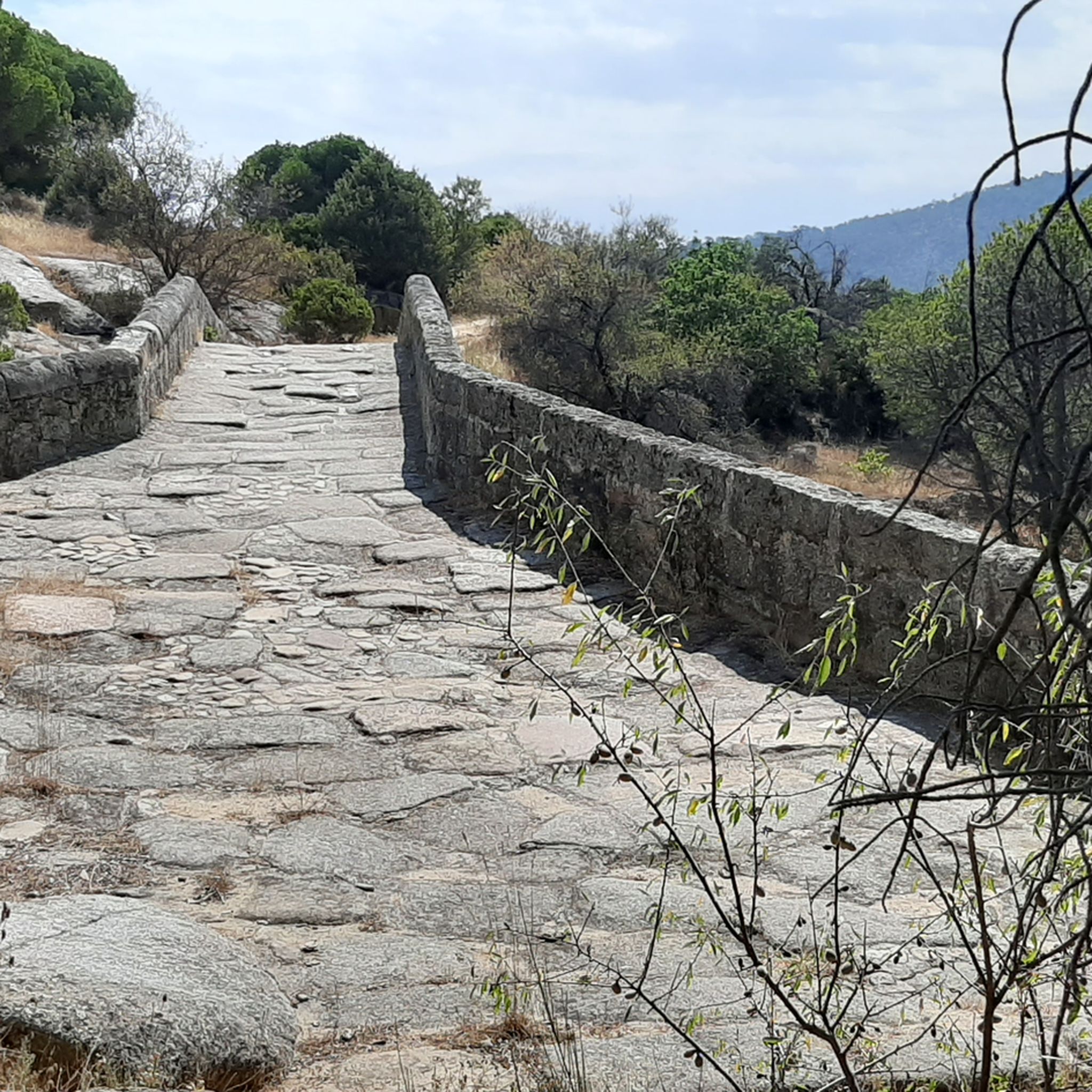
You can encounter several notable natural features and landmarks. The area is known for its extensive pine forests and water bodies like the Embalse Becedas I. Highlights include the Mirador del Canchal and the Risco de los Dineros Viewpoint, offering panoramic views. The Puente Mocha over the Cofio River, a medieval bridge, also provides a picturesque spot.
Are there any historical points of interest along the cycling routes?
Yes, the region has historical elements. The Puente Mocha, a medieval bridge possibly of Roman origin, is a significant historical landmark. Additionally, during periods of drought, a Romanesque bridge usually submerged in the Embalse Becedas I becomes visible, adding a unique historical dimension.
What is the typical difficulty level of road cycling routes in El Hoyo de Pinares?
The majority of road cycling routes in El Hoyo de Pinares are classified as difficult, with 40 out of 57 routes falling into this category. There are also 17 moderate routes, but no easy ones, indicating a focus on more challenging rides.
Can I find circular road cycling routes in the region?
Yes, many routes are circular, allowing you to start and end in the same location. An example is the Embalse de San Juan y Estación de Cebreros — circular desde Cebreros, a popular difficult route offering views of the Embalse de San Juan.
What do other road cyclists enjoy the most about road cycling in El Hoyo de Pinares?
The area is highly rated by the komoot community, with an average score of 3.2 stars from 13 reviews. Cyclists often praise the varied terrain, the beauty of the pine forests, and the challenging nature of the routes.
Is parking available for cyclists in El Hoyo de Pinares?
While specific parking areas for cyclists are not detailed, El Hoyo de Pinares and nearby towns like Cebreros serve as common starting points for routes, suggesting general parking facilities are available for visitors exploring the area.
What is the best time of year for road cycling in El Hoyo de Pinares?
Given its location in central Spain, spring and autumn generally offer the most pleasant temperatures for road cycling, avoiding the intense heat of summer and the colder conditions of winter. The pine forests provide some shade, which can be beneficial during warmer periods.
Are there any recreational areas suitable for starting a cycling tour?
Yes, El Hoyo de Pinares features recreational areas like El Fresne and El Batán, which are ideal starting points for exploring the natural surroundings and accessing various cycling routes.
Are there any routes that pass by reservoirs or significant water bodies?
Absolutely. The region is known for its water features. The Embalse de San Juan y Estación de Cebreros — circular desde Cebreros route offers views of the Embalse de San Juan. Additionally, the Embalse Becedas I is a notable reservoir in the area, and the Navalperal de Pinares Reservoir is another highlight.
What is the longest road cycling route available in the El Hoyo de Pinares area?
One of the longer routes is the Puerto de Arrebatacapas – Puerto de Navalmoral loop from Cebreros, which spans approximately 105 kilometers (65.2 miles) and typically takes over 5 hours to complete, leading through mountainous terrain.
Most popular routes around El Hoyo De Pinares
Most popular attractions around El Hoyo De Pinares

Get inspired with the komoot mobile app


Explore more
Browse the best Road cycling routes in other regions.
