The best walks and hikes around Hoyocasero
4.3
(71)
544
hikers
27
hikes
Hiking around Hoyocasero offers diverse landscapes within the Sierra de Gredos, characterized by its mountain peaks and dryland terrain. The region features the Pinar de Hoyocasero, a mature Scots pine forest, providing accessible routes. Hikers can explore scenic mountain passes like Centenera Pass and Serranillos Pass, offering expansive views. The area also includes prominent hills such as Cerro Gallinero and the source of the Tormes River.
Best hiking trails around Hoyocasero
- The most popular hiking route is Ascent to La…
Last updated: July 8, 2026
9
hikers
20.0km
06:32
920m
920m
Hard hike. Very good fitness required. Easily-accessible paths. Suitable for all skill levels.
2
hikers
10.9km
03:07
250m
250m
Hike the moderate Las Chorreras de San Martín del Pimpollar Trail to discover waterfalls, bridges, and stunning Sierra de Gredos views.

Sign up for free
4.0
(1)
1
hikers
11.2km
03:09
230m
230m
Moderate hike. Good fitness required. Mostly accessible paths. Sure-footedness required.
Hike the difficult 13-mile El Puerto del Pico circular route from San Martín del Pimpollar, exploring the Sierra de Gredos.
10.1km
02:52
240m
240m
Hike a moderate 6.2-mile (10.1 km) circular route from San Martín del Pimpollar to Hoyos de Miguel Muñoz, exploring traditional architecture
Get access to more routes and recommendations from other explorers.
Sign up for free
Already have an account?
Our route recommendations are based on thousands of hikes, rides, and runs completed by other people on komoot.
Start today with a free account
Your next adventure awaits.
Login or Signup
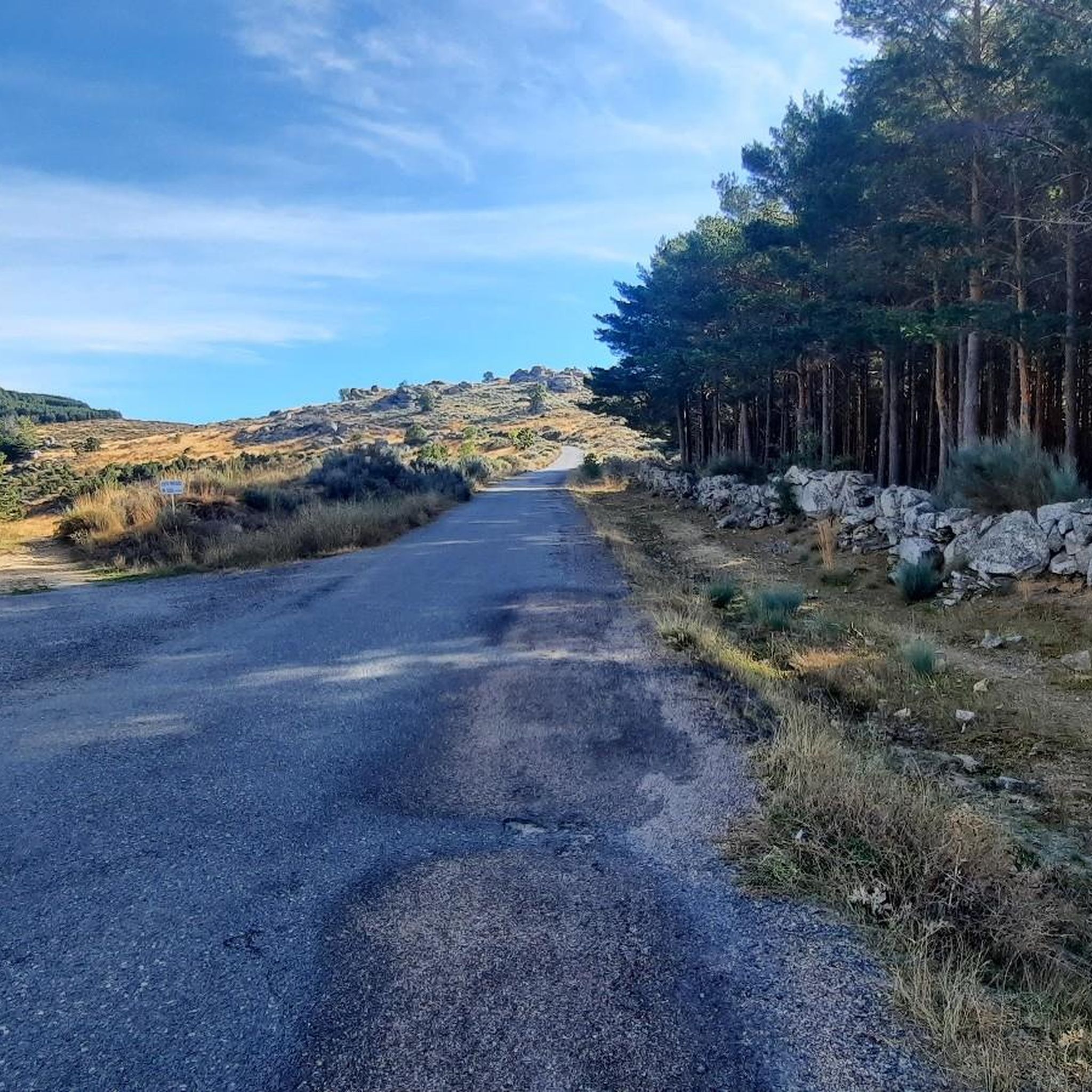
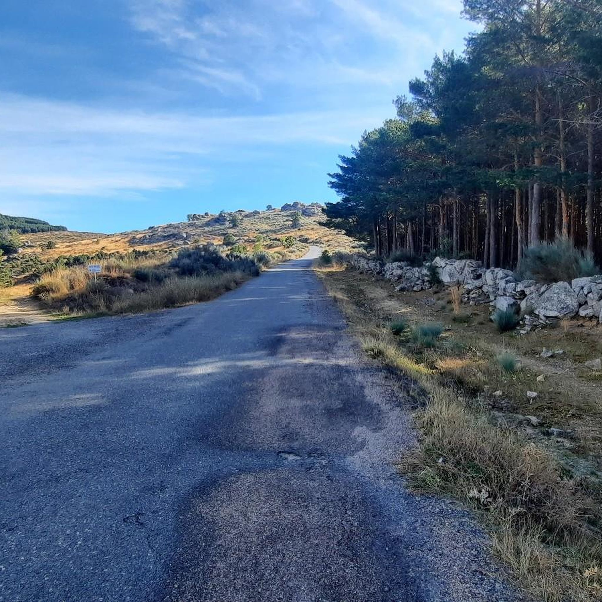
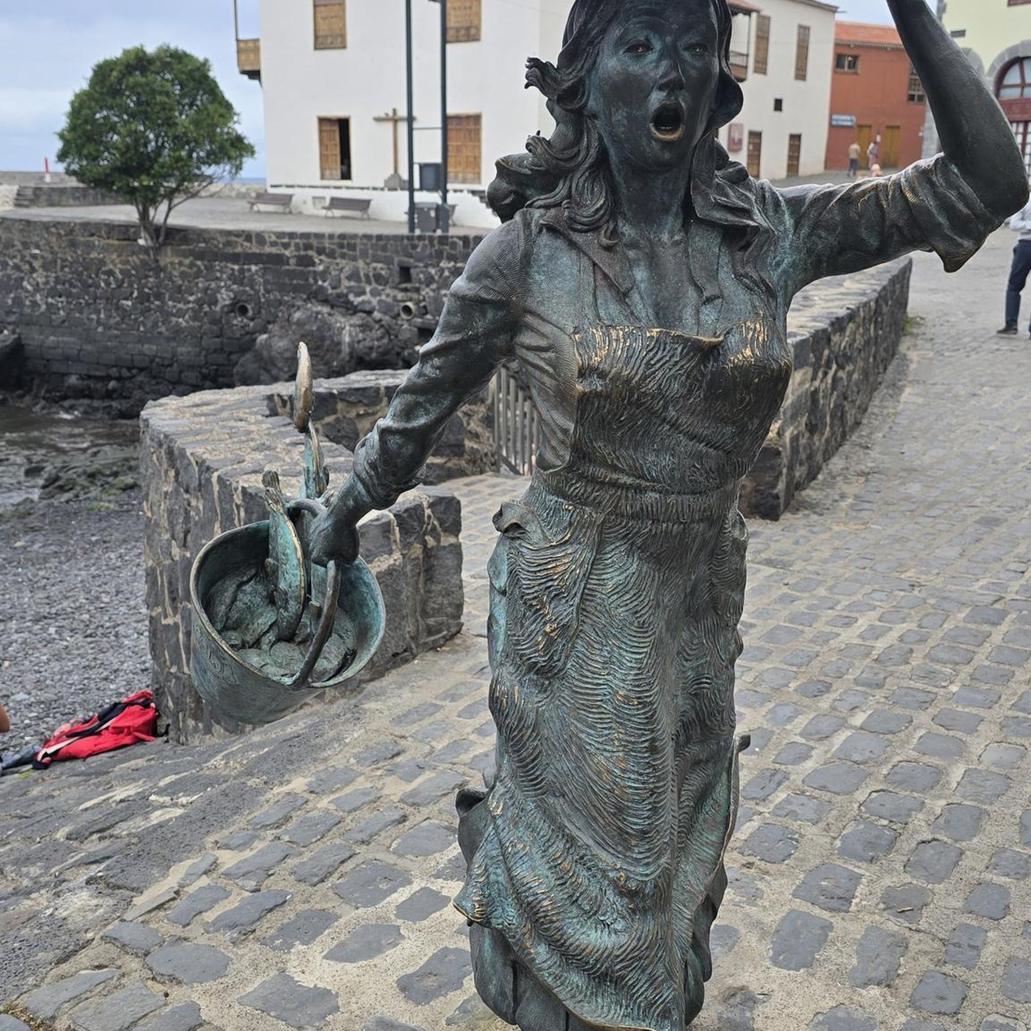
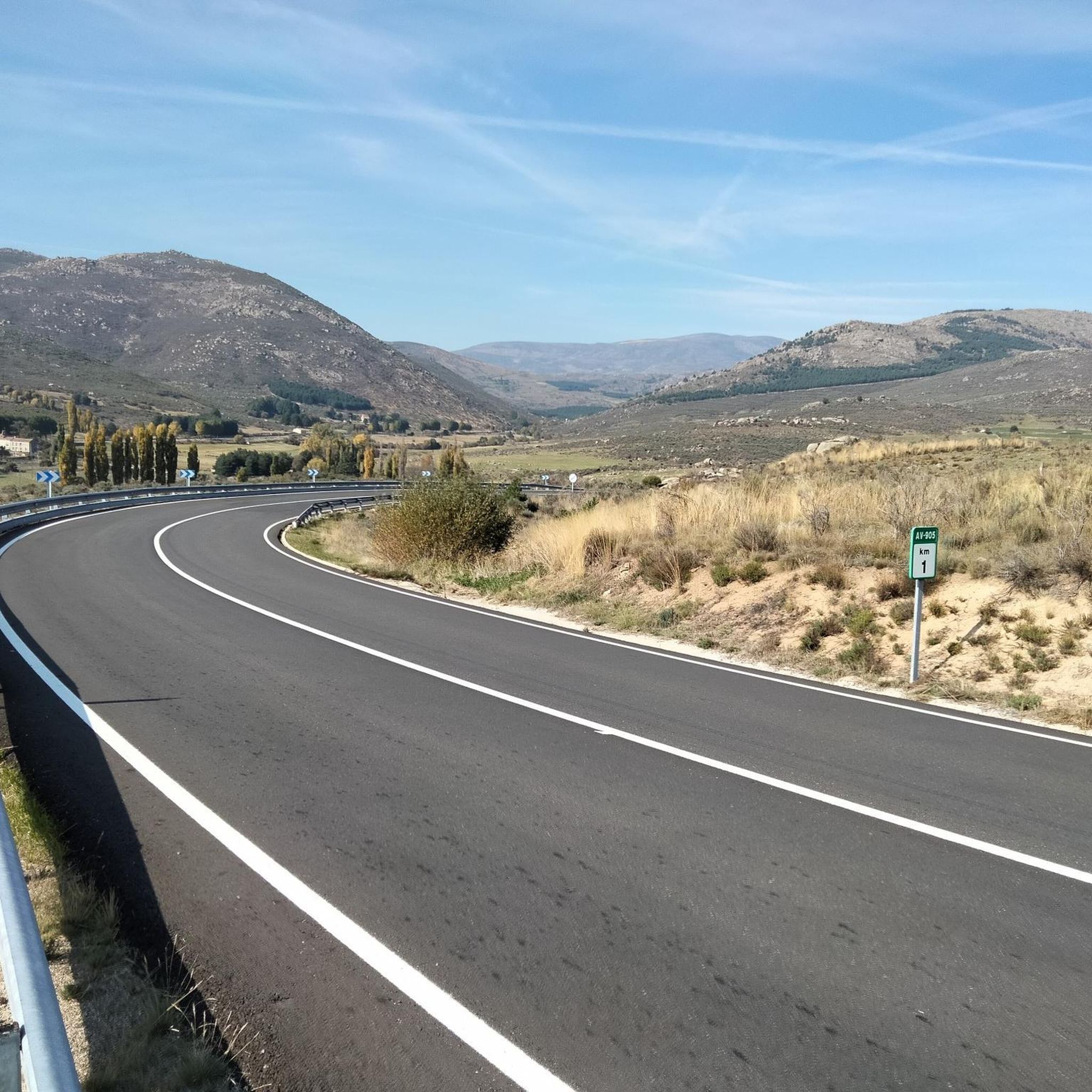
Tips from the Community

A beautiful town with views of the Gredos Mountains. Bike-friendly accommodations are available at the "Las Cuatro Calles" house.
0
0

The Puerto del Pico with its viewing point is one of the classics of the Sierra de Gredos, used frequently in the routes of the Vuelta a España. The viewing point offers beautiful views of the Valle del Barranco or Valle de las Cinco Villas. You can also see the layout of the old Roman road that also went up this valley to access the upper part of the Iberian plateau. The road that goes up to the Puerto del Pico on its southern slope is in perfect condition as it is the national road N-502. It is a fast road so you have to be very careful with cars, especially on holidays and vacations.
1
0

You should definitely stop at the Puerto de Pico pass at an altitude of 1,352 m. There are enough parking spaces. There is also a restaurant on site. The views are spectacular and with a little luck you can see Iberian ibex up here.
1
0

Located on the N-502 highway between Cuevas del Valle and San Martín del Pimpollar, the peak pass is a high mountain pass connecting the north face and the south face of the Sierra de Gredos. It is the access point to Torozo. At the top of the peak, there is a restaurant and a water fountain, which accompanies the views offered by the Castilian landscape.
0
0
Small town in Avila near the provincial capital located north of the Gredos mountain range. It is an ideal access point to the roads that circle the natural park. It can be a good resting point during an adventure, as it has a bar and a public fountain.
0
0

A charming small town, Hoyos de Miguel Muñoz is located at an altitude of 1534 meters above sea level on the mountainous route between Navadiós and San Martín del Pimpollar.
1
0
You walk along gravel paths deep in the mountain along this stretch of the GR 10 trail towards the col. The view of the mountains is impressive, especially in winter. Make sure you bring warm clothing and take the weather into account before setting out on your adventure.
0
0
The trail south of the town of San Martín del Pimpollar reaches an excellent spot for wild swimming. Are you brave enough to get your toes wet?
2
0
Frequently Asked Questions
What types of hiking trails can I expect around Hoyocasero?
Hoyocasero offers a diverse range of hiking experiences. You'll find everything from leisurely walks through the mature Scots pine forest of Pinar de Hoyocasero to more challenging mountain ascents within the Sierra de Gredos. The terrain varies from dense forests to dryland landscapes and scenic mountain passes.
Are there any easy or family-friendly hiking options in Hoyocasero?
Yes, Hoyocasero has several easy routes suitable for families. There are 4 easy trails available, often found within the Pinar de Hoyocasero, which provides accessible and pleasant walks through the forest. These routes are generally less strenuous and offer a great way to enjoy nature with children.
What are some notable natural features or landmarks to look out for on the trails?
Hikers can discover several significant natural features. The Source of the Tormes River and Dolmen is a scenic spot with a large stone monolith. You can also experience breathtaking panoramic views from Cerro Gallinero or explore the dramatic scenery of mountain passes like Centenera Pass and Serranillos Pass.
Are there any circular hiking routes available?
Yes, many of the trails around Hoyocasero are circular, allowing you to start and end at the same point. For a challenging circular route through the Sierra de Gredos, consider El Puerto del Pico from San Martín del Pimpollar, which covers approximately 21 km.
What is the best time of year to go hiking in Hoyocasero?
The Sierra de Gredos region, where Hoyocasero is located, features a dryland landscape. While hiking is possible year-round, spring and autumn generally offer the most pleasant temperatures and vibrant scenery. Summer can be hot, especially in exposed areas, while winter may bring snow to higher elevations, offering different challenges and beauty.
How many hiking trails are there in total around Hoyocasero?
There are over 25 hiking trails available around Hoyocasero, catering to various skill levels. This includes 4 easy routes, 13 moderate routes, and 10 difficult routes, ensuring options for every hiker.
What do other hikers say about the trails in Hoyocasero?
The trails in Hoyocasero are highly rated by the komoot community, with an average score of 4.3 stars from over 60 reviews. Hikers often praise the diverse terrain, the stunning views of the Sierra de Gredos, and the peaceful atmosphere of the pine forests.
Are there any trails that feature waterfalls or bridges?
Yes, the region offers trails with picturesque water features. The Las Chorreras de San Martín del Pimpollar Trail, for example, is known for its waterfalls and bridges, providing a refreshing experience amidst views of the Sierra de Gredos.
Can I bring my dog on the hiking trails in Hoyocasero?
While specific regulations for each trail may vary, many natural areas in the Sierra de Gredos are generally dog-friendly, especially if dogs are kept on a leash. The Pinar de Hoyocasero, with its accessible forest paths, is often a good option for walks with pets. Always ensure your dog is under control and respect local wildlife.
Are there any amenities like cafes or places to eat near the hiking routes?
Hoyocasero itself has a charming historic center with traditional stone houses, where you may find local establishments. For specific amenities directly along trails, it's advisable to plan your route and check for villages or towns nearby, as many trails venture into natural, undeveloped areas.
Is there parking available at the trailheads?
Parking availability can vary depending on the specific trailhead. In general, smaller towns and villages like Hoyocasero or San Martín del Pimpollar often have public parking areas. For more remote trailheads, roadside parking might be an option, but it's always recommended to check specific route details or local information before you go.
What is the difficulty level of the 'Hoyos de Miguel Muñoz' trail?
The Hoyos de Miguel Muñoz trail is rated as moderate. It covers approximately 10 km and typically takes around 2 hours and 52 minutes to complete, with a moderate elevation gain.
Most popular routes around Hoyocasero
Most popular attractions around Hoyocasero

Get inspired with the komoot mobile app


Explore more
Browse the best Hikes in other regions.
