The best running trails around Hoyos De Miguel Muñoz
4.5
(2)
100
runners
15
runs
Jogging around Hoyos De Miguel Muñoz offers routes through a high-altitude environment, situated at 1,534 meters (approximately 5,033 feet) above sea level. The region is characterized by its proximity to the Sierra de Gredos, providing access to mountainous terrain and glacial features. Runners can explore varied landscapes, including the upper Alberche and Tormes river valleys, as well as mature Scots pine forests and granite formations. This area provides a tranquil setting for physical activity amidst diverse natural surroundings.
Best jogging…
Last updated: July 10, 2026
4.0
(1)
1
runners
Moderate run. Good fitness required. Mostly accessible paths. Some sure footedness required.
11
runners
Moderate run. Good fitness required. Mostly paved surfaces. Suitable for all skill levels.

Sign up for free
11
runners
20.1km
02:23
280m
280m
Hard run. Very good fitness required. Mostly paved surfaces. Suitable for all skill levels.
12
runners
Moderate run. Good fitness required. Mostly paved surfaces. Suitable for all skill levels.
6
runners
15.3km
02:39
690m
690m
Hard run. Very good fitness required. Sure-footedness, sturdy shoes and alpine experience required.
Get access to more routes and recommendations from other explorers.
Sign up for free
Already have an account?
Our route recommendations are based on thousands of hikes, rides, and runs completed by other people on komoot.
Start today with a free account
Your next adventure awaits.
Login or Signup

Tips from the Community

There are beautiful trails here and plenty of opportunities to enjoy the recreation area
17
0

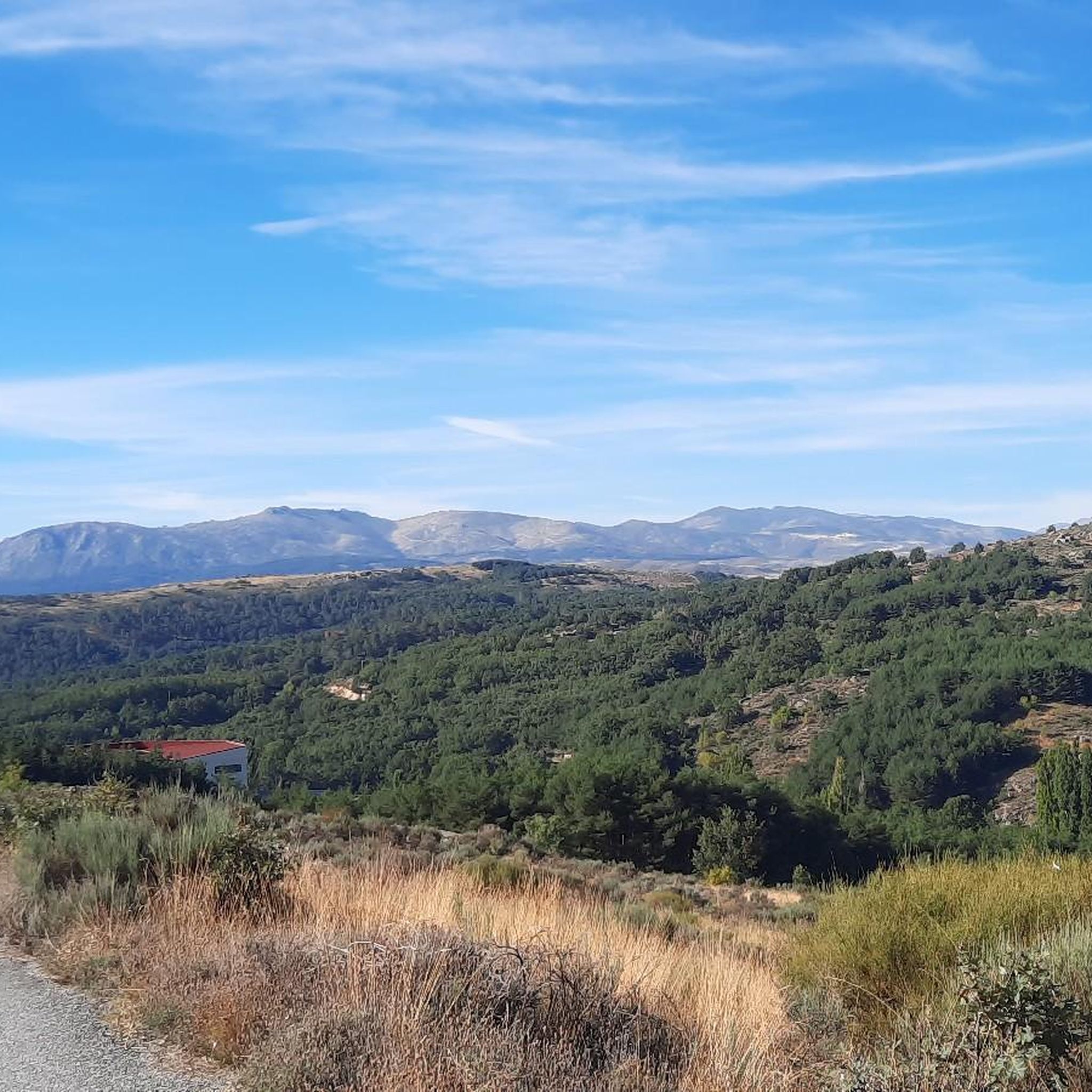
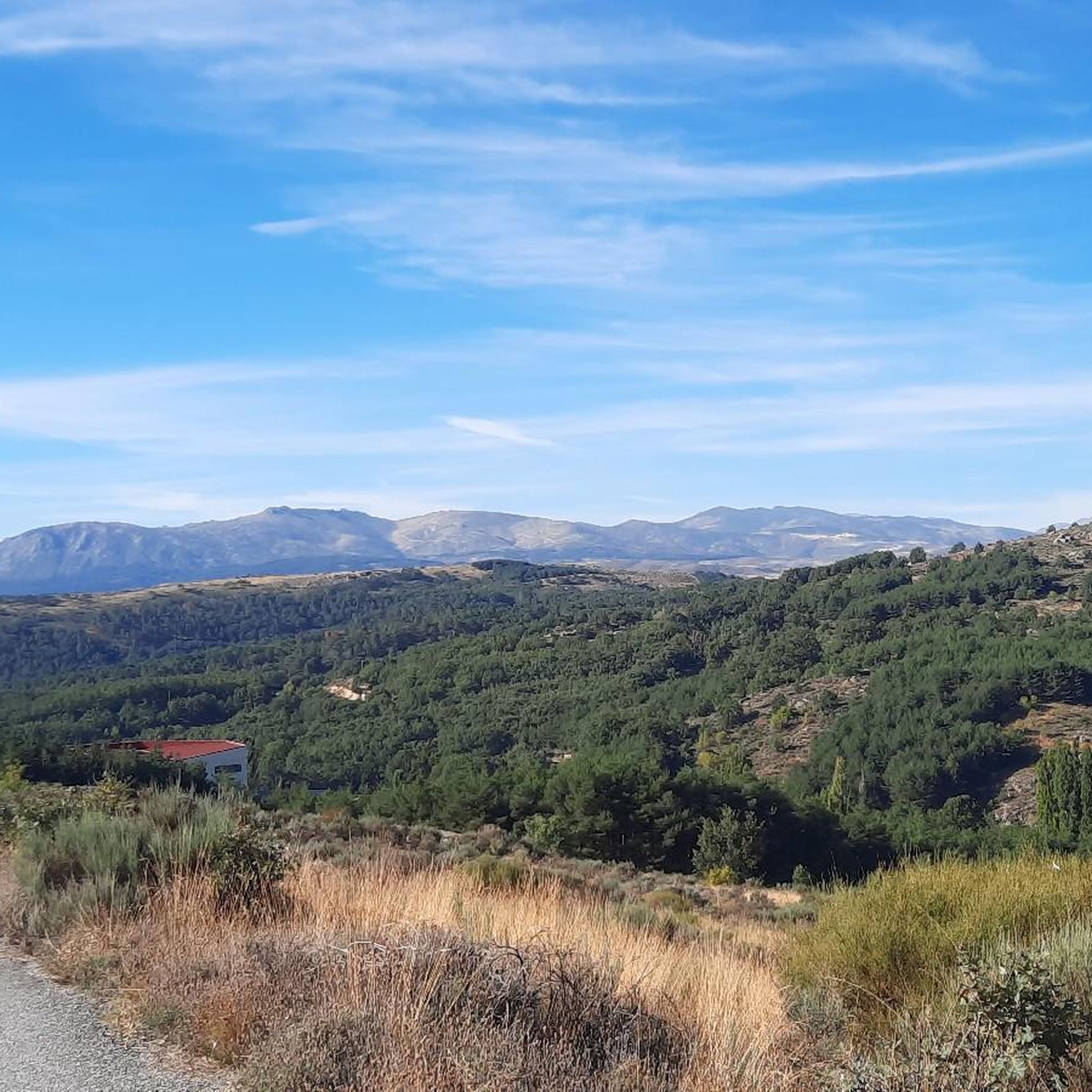
The views and panoramas of the Gredos Mountains from this point are incredible. The location is near the town of Hoyos del Espino.
0
0

A beautiful panoramic view of the Gredos mountain range from its northern slope, very close to the first Parador de Turimo in the history of Spain.
0
0

The Puerto del Arenal in the Tiétar Valley is a very popular hiking route in the Sierra de Gredos. This route, known as PR-AV 45, connects the Tormes Valley with the Tiétar Valley through the town of El Arenal.
7
0

The ridge towards Rubia is full of bizarrely eroded large rock formations
0
0

The Tormes River is a tributary of the Duero on its left bank, it runs through the Community of Castilla y León, crossing the provinces of Ávila, Salamanca and Zamora. The Tormes rises in the Tormejón meadow, in the Gredos mountain range. It feeds several reservoirs, the Santa Teresa and Villagonzalo reservoirs, the San Fernando reservoir and, close to its mouth in the Duero, the Almendra reservoir, where, sandwiched between rock walls, it forms the so-called arribes del Tormes.
1
0

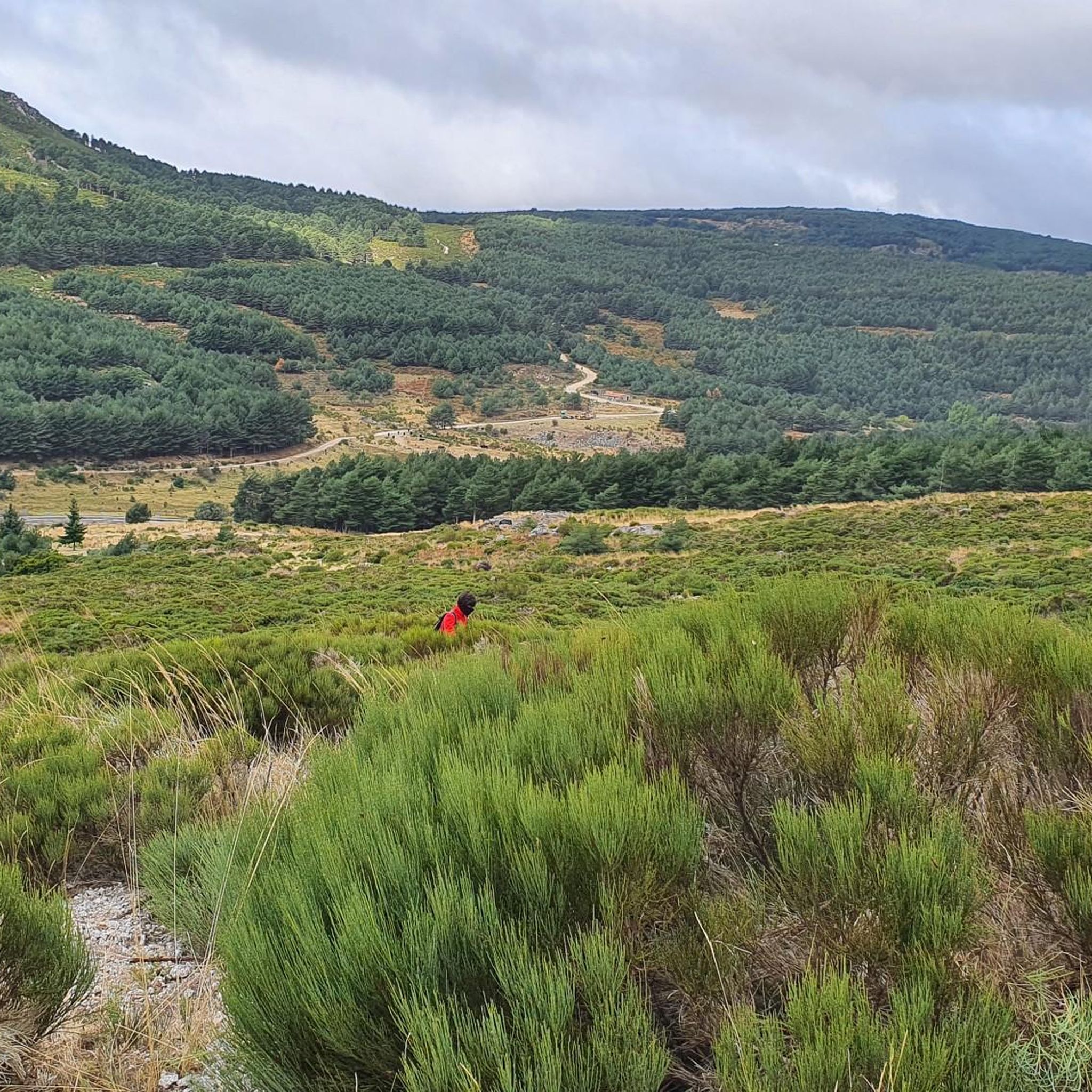
The trail turns left along the Senda de la Rubia, well marked with milestones of the short-distance trail PR-AV 15 towards the Pico pass, coming from Alto de Centenera. The route leaves the historic path of the Senda del Puerto del Arenal and continues along another mountain path that is part of the traditional landscapes of Gredos in the upper Tiétar, linked to mountain grazing and the natural resources used by the towns of the area. Mountain range. The Senda de la Rubia climbs a fairly broken slope with several route possibilities and enters the slopes of the Cañamarejo ravine. Part of the exclusivity of the landscape due to the tones of the rocks and the scarce vegetation is due to the fire that devastated this sector of the mountains more than a decade ago. The trail jumps over a hill and runs through the ravines of Las Majadillas and El Barrancón. In several places there are solitary specimens of pine trees that survived the fire or completely charred trunks like skeletons of forest mastodons. The path passes through the Fuente Fría spring and reaches the charming mountain area of Pradera de la Rubia, with a traditional hut at the foot of the mountain.
0
0
The route continues along the path that runs along the mountain range. The path is marked with stone markers from the end of the firebreak, it goes up to the right of the first block of the Risco del Bierzo and then to the left of the main summit to the extensive Bierzo hill. The geodesic vertex of La Fría draws attention at the top of some isolated and solitary cliffs, you have to climb the “little stick” at least to take the photo and for the views, although the route of the ridge offers an extraordinary panoramic view at all times. El Torozo and La Mira get almost all the attention. The trail leaves the summit of La Fría (1,983 m) on the left and goes down the southeast slope to the Morillas de Cañamarejo hill. The rope is difficult to run, you need to have experience, strong ankles and a taste for these technical trails on the Gredos summits. The path looks for the best passes on the southeastern slope of the granite towers and reaches the summit of Risco de las Morillas (1,992 m), the highest peak of the ridge and the roof of the trail, although there is no milestone, cross, or vertex. or sculpture that distinguishes the summit. The track passes through the summit because it is the highest point in the mountain massif between the port of Arenal and the port of Pico, for summit collectors, but it can be avoided by taking a shortcut directly through the base of the cliff.
0
0
Frequently Asked Questions
How many running routes are available around Hoyos de Miguel Muñoz?
There are over 15 dedicated running routes around Hoyos de Miguel Muñoz, offering a variety of experiences from easy jogs to challenging mountain runs. The komoot community has explored these trails extensively, with more than 100 runners using them.
Are there easy running routes suitable for beginners in Hoyos de Miguel Muñoz?
Yes, the area offers several easy running routes perfect for beginners or those looking for a relaxed jog. You can find at least two easy routes, providing a gentle introduction to the region's beautiful landscapes.
What kind of terrain can I expect on the running trails near Hoyos de Miguel Muñoz?
The running trails around Hoyos de Miguel Muñoz feature diverse terrain. You'll find routes through mature Scots pine forests, along the upper Alberche and Tormes river valleys, and amidst the granite formations characteristic of the Sierra de Gredos. The high altitude of 1,534 meters also provides an invigorating environment.
Can I bring my dog on the running trails in Hoyos de Miguel Muñoz?
Many trails in natural areas like Hoyos de Miguel Muñoz and the Sierra de Gredos are dog-friendly, but it's always recommended to keep your dog on a leash, especially in areas with wildlife or livestock. Please respect local regulations and other trail users.
Are there any circular running routes available?
Yes, there are several circular running routes. For example, the Senda del Pinar de Navarredonda de Gredos — circular por el Parque regional Sierra de Gredos is a popular moderate circular trail through a scenic pine forest.
What are some notable natural features or landmarks I might see while running?
While running, you might encounter stunning views of the Sierra de Gredos, especially from routes like the Sierra de Gredos viewpoint – Tormes River loop from Área Recreativa Tamborríos. The region is known for its dramatic mountainous terrain, glacial cirques, and beautiful pine forests. You could also spot highlights like Pico Torozo or various mountain passes such as Centenera Pass.
Is parking available near the running routes in Hoyos de Miguel Muñoz?
Yes, parking is generally available near the starting points of many routes, especially in or near villages like Hoyos de Miguel Muñoz or other recreational areas. Specific parking information can often be found on individual route pages on komoot.
What is the best time of year to go running in Hoyos de Miguel Muñoz?
Due to its high altitude, Hoyos de Miguel Muñoz offers a refreshing environment, especially during warmer months. Spring and autumn provide pleasant temperatures and vibrant scenery. Winter running is possible but may require appropriate gear for colder conditions and potential snow, especially at higher elevations.
Are there any challenging running routes for experienced runners?
Absolutely. For experienced runners seeking a challenge, routes like the El Sombrerito – Torozo loop from Puerto del Pico offer difficult ascents and rewarding views. The area features four difficult routes, providing ample opportunity for intense training.
What do other runners enjoy most about jogging in Hoyos de Miguel Muñoz?
The area is highly rated by the komoot community, with an average score of 4.5 stars. Runners often praise the tranquil and peaceful environment, the stunning natural landscapes of the Sierra de Gredos, and the invigorating high-altitude experience. The variety of terrain, from pine forests to river valleys, is also frequently highlighted.
Are there family-friendly running options in the region?
While some routes can be challenging, there are easier and shorter options that families can enjoy together. Look for routes marked as 'easy' or those that stick to flatter sections of the river valleys or forest paths for a more relaxed family outing.
What is the typical length of running routes in Hoyos de Miguel Muñoz?
Running routes in the area vary significantly in length. You can find shorter trails around 7-8 km (4-5 miles), such as the Senda del Pinar de Navarredonda de Gredos, up to longer, more challenging runs exceeding 20 km (12 miles), like the Pozo de las Paredes – Puente de los Seis Ojos loop from Hoyos del Espino.
Most popular attractions around Hoyos De Miguel Muñoz

Get inspired with the komoot mobile app


Explore more
Browse the best Running Trails & Routes in other regions.
