The best walks and hikes around Forcarei
3.8
(44)
247
hikers
17
hikes
Hiking around Forcarei offers access to a diverse landscape characterized by mountains, dense forests, and an intricate network of rivers. The region features elevated terrain, including the Sierra de Candán and Serra do Cando, with altitudes reaching around 1000 meters. Lush forests of native species like oaks and chestnuts cover the slopes, while numerous waterfalls and river systems, such as the Lérez River, traverse the area. This interior Galician municipality provides varied natural environments for outdoor activities.
Best hiking trails…
Last updated: October 2, 2026
5.0
(2)
17
hikers
16.1km
04:50
490m
490m
Moderate hike. Good fitness required. Easily-accessible paths. Suitable for all skill levels.
5.0
(2)
10
hikers
16.5km
04:55
450m
440m
Hike the moderate 10.3-mile Ruta da Liberdade in A Lama, exploring oak forests, riverbanks, and mountain pastures with wild horses.

3.0
(2)
5
hikers
10.8km
03:06
270m
270m
Moderate hike. Good fitness required. Easily-accessible paths. Suitable for all skill levels.
5.0
(1)
2
hikers
10.3km
03:17
430m
430m
Moderate hike. Good fitness required. Easily-accessible paths. Suitable for all skill levels.
3.0
(1)
2
hikers
Hard hike. Very good fitness required. Easily-accessible paths. Suitable for all skill levels.
Get access to more routes and recommendations from other explorers.
Already have an account?
Our route recommendations are based on thousands of hikes, rides, and runs completed by other people on komoot.
Start today with a free account
Your next adventure awaits.
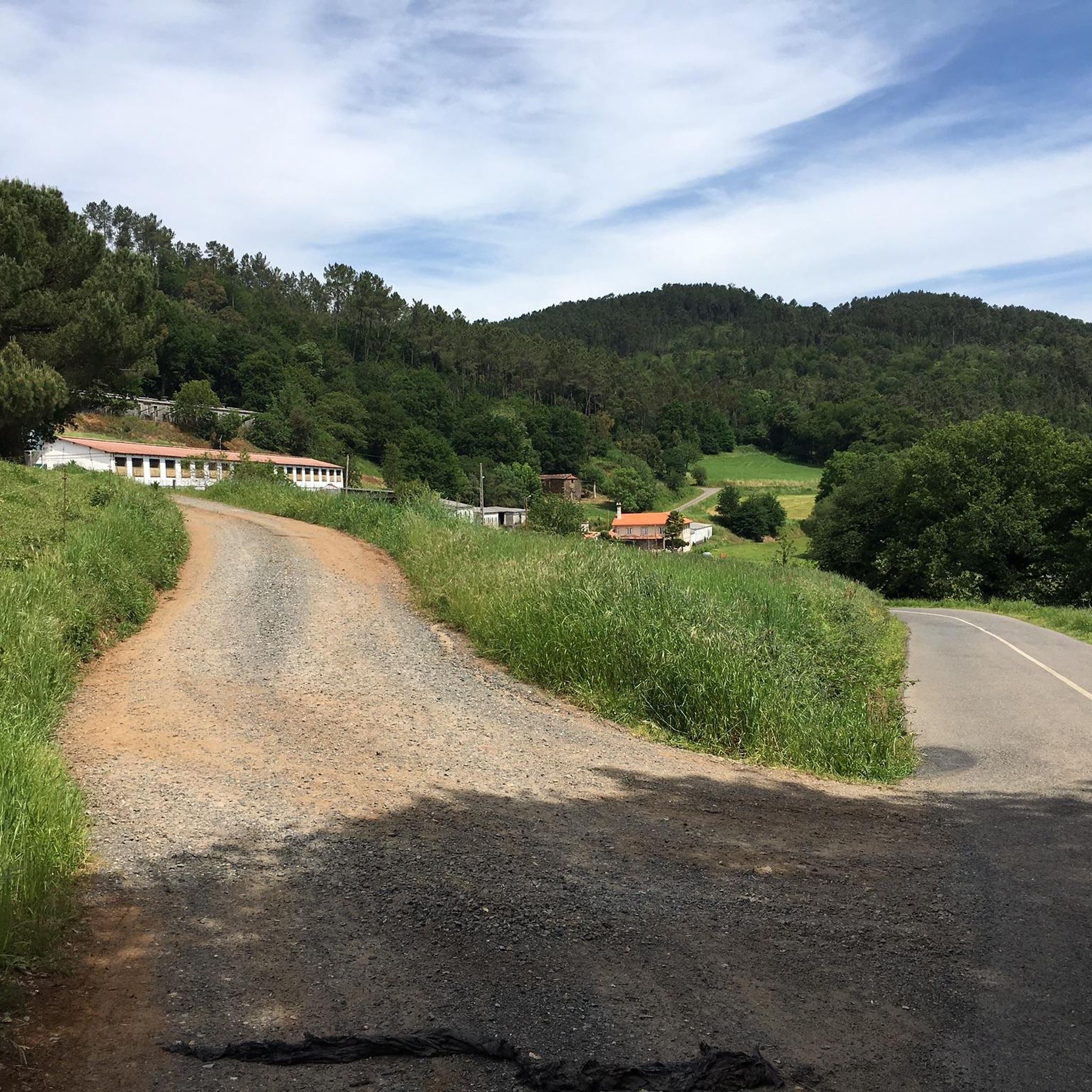
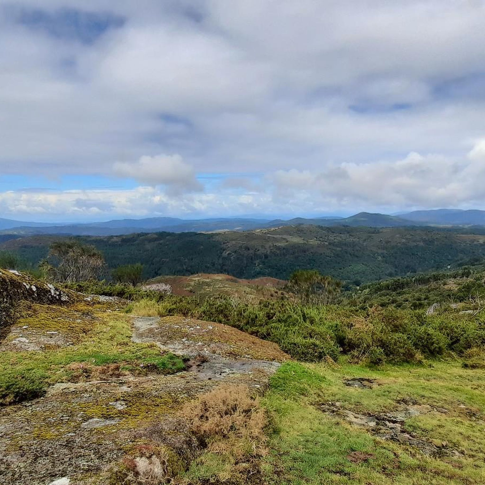
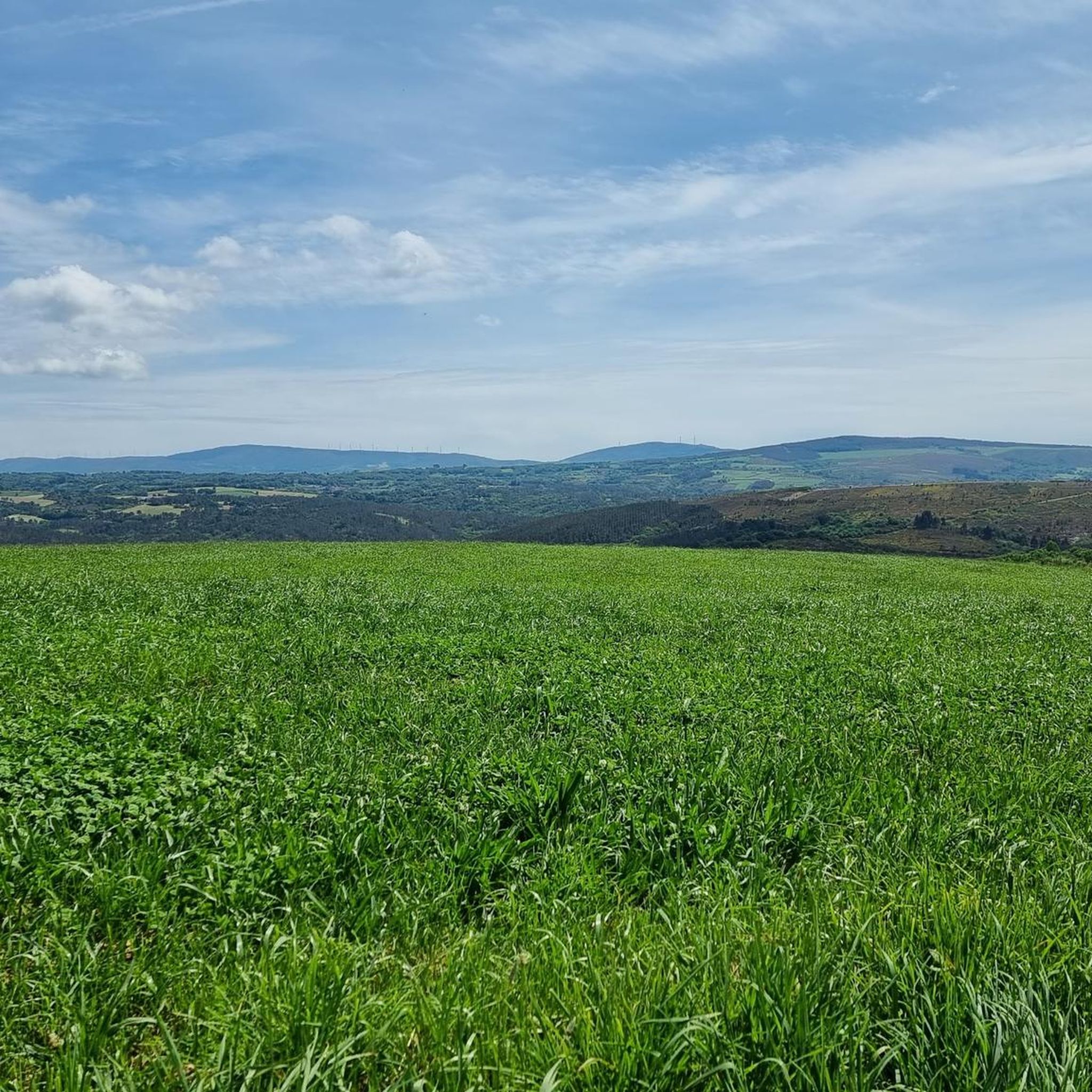
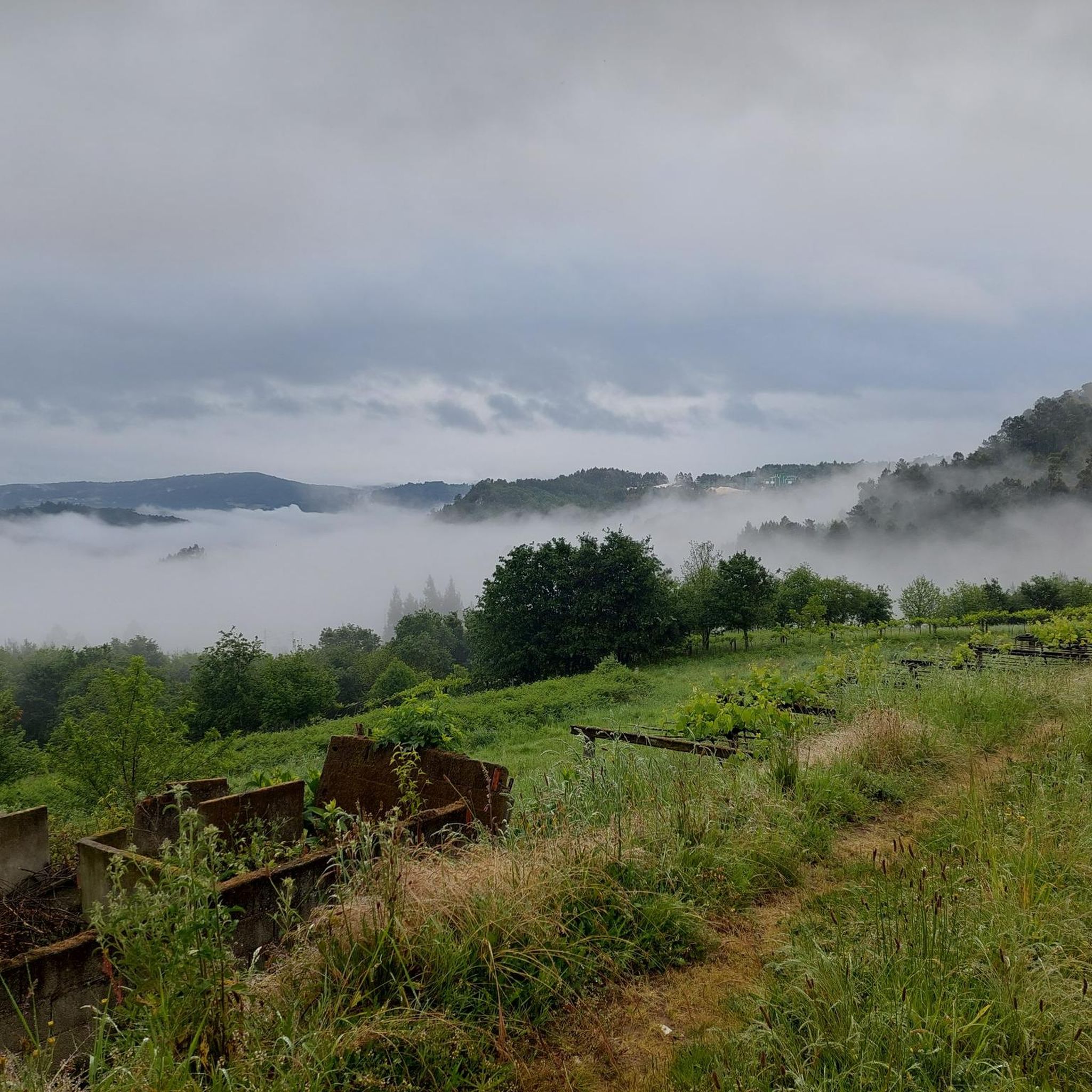
Tips from the Community

Good area for a bike ride
0
0

As you ascend along the Almofrei River and into the foothills of the Sierra de Condo, you reach this old wolf trap, locally called 'Foxo do Lobo'. These holes were used to capture wolves that roamed these mountains and attacked local livestock.
0
0
El batho salvaje en Carballedo. The natural pool, which captures the waters of the Almofrei River, is a great place to cool off on a warm summer day.
0
0
The hike follows the foothills of the western slopes of the Sierra de Condo to reach Cavadosa and the waterfall of the same name. This beautiful spot is where the Seixo Route returns to Cerdedo.
1
0
Granite boulders typical of the Galician massif mark this important peak at the top of A Serra do Cando. Locals believe that the rocks sculpted by the passage of time and climate are the door to the afterlife.
1
0
At the foot of the Sierra de Condo, the small town of Cerdedo sits on an important mountain route that crosses between the province of Ourense and Pontevedra. The Church of San Xoán Bautista de Cerdedo symbolizes the strength of this community in the Lérez Valley
1
0
Charming hiking route in the Lérez River valley. Explore the lush river landscape surrounded by native oaks, beeches and willows at the water's edge.
1
0
Historic stone bridge over the Castro River valley in Cerdedo. It is believed to have been originally built during Roman times, but is more likely to date from medieval times.
1
0
Frequently Asked Questions
What kind of terrain can I expect on hiking trails in Forcarei?
Hiking in Forcarei is characterized by mountainous terrain, dense oak and chestnut forests, and numerous river valleys. You'll find elevated areas like the Sierra de Candán and Serra do Cando, with altitudes reaching around 1000 meters, offering varied natural environments.
Are there any easy or beginner-friendly hiking trails in Forcarei?
While many routes in Forcarei are moderate to difficult, the region's diverse landscape allows for varying experiences. For a less strenuous option, consider exploring sections of the riverside trails, which often feature gentler gradients. Always check the specific trail details on komoot for elevation and distance to match your ability.
Can I find circular hiking routes in Forcarei?
Yes, Forcarei offers several excellent circular routes. A popular choice is Cascada de Cavadosa from Cerdedo — circular by the río Seixo, which is a moderate 9.99-mile (16.1 km) trail. Another option is Foxo do Lobo desde Carballedo — circular por el río Almofrei, a moderate 6.70-mile (10.8 km) path following the Almofrei River.
Are there any waterfalls to see along the hiking trails?
Forcarei is dotted with picturesque waterfalls. The Cascada de Cavadosa from Cerdedo route leads to a beautiful waterfall. Other notable spots include the Fervenza de Escuadro, known for its natural beauty, and the Molino y Fervenza de Quintillán, which features a charming mill and waterfall.
What historical landmarks or viewpoints can I discover while hiking in Forcarei?
The region is rich in historical and natural landmarks. You can visit the ancient 12th-century Monasterio de Santa María de Aciveiro, which serves as a starting point for some routes. The Taboada Medieval Bridge is another historical point of interest. For stunning views, consider routes that pass by the Three Estuaries Viewpoint or ascend to Pico do Candán.
What do other hikers enjoy most about hiking in Forcarei?
The hiking trails in Forcarei are highly rated by the komoot community, with an average score of 3.7 stars from over 10 reviews. Hikers often praise the tranquil escape offered by the dense forests and intricate river networks, as well as the diverse natural landscapes and well-preserved natural spaces.
Are the hiking trails in Forcarei suitable for families?
Forcarei's serene environment and lush forests make it a pleasant destination for families. While many trails are moderate, there are options for riverside walks and less challenging paths. Always check the specific route details on komoot for distance and elevation to ensure it's appropriate for your family's fitness level.
Can I bring my dog on the hiking trails in Forcarei?
Generally, the natural trails and open spaces in Forcarei are suitable for dogs, provided they are kept under control. The region's extensive forests and river systems offer plenty of opportunities for your canine companion to enjoy the outdoors. Always be mindful of local regulations and other hikers.
What is the best time of year to go hiking in Forcarei?
Forcarei's humid climate fosters lush forests, making it beautiful throughout much of the year. Spring and autumn typically offer pleasant temperatures and vibrant scenery, with blooming flora or rich fall colors. Summer is also popular, but be prepared for warmer weather. Winter hikes can be serene, especially in the elevated areas, but require appropriate gear.
How many hiking trails are available in the Forcarei area?
There are over 10 hiking routes available in the Forcarei area, catering to various preferences. These include moderate to difficult trails that explore the region's mountainous terrain, dense forests, and numerous river valleys.
Are there any trails that follow rivers or offer riverside scenery?
Yes, Forcarei is known for its intricate network of rivers. The Ruta da Liberdade - Barbeira River Trail is a 10.27-mile (16.5 km) trail that leads through riverside woodlands. The Foxo do Lobo desde Carballedo route also follows the course of the río Almofrei, offering beautiful riverside views.
What is the difficulty level of hiking trails in Forcarei?
The hiking trails in Forcarei range from moderate to difficult. There are 10 moderate routes and 2 difficult routes listed, offering options for various experience levels. Difficult trails often involve significant elevation changes, such as the 30.18 km route to The viewpoint of the Tres Rías from Cerdedo.
Most popular attractions around Forcarei

Get inspired with the komoot mobile app


Explore more
Browse the best Hikes in other regions.
