The best walks and hikes around Pozo Cañada
4.7
(19)
112
hikers
28
hikes
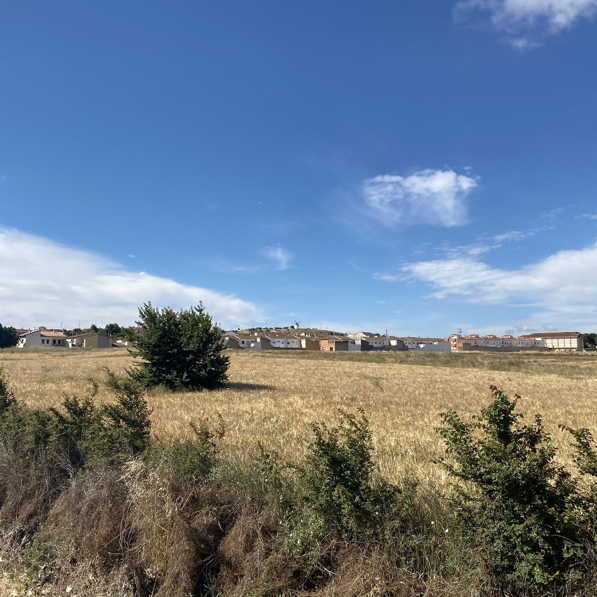
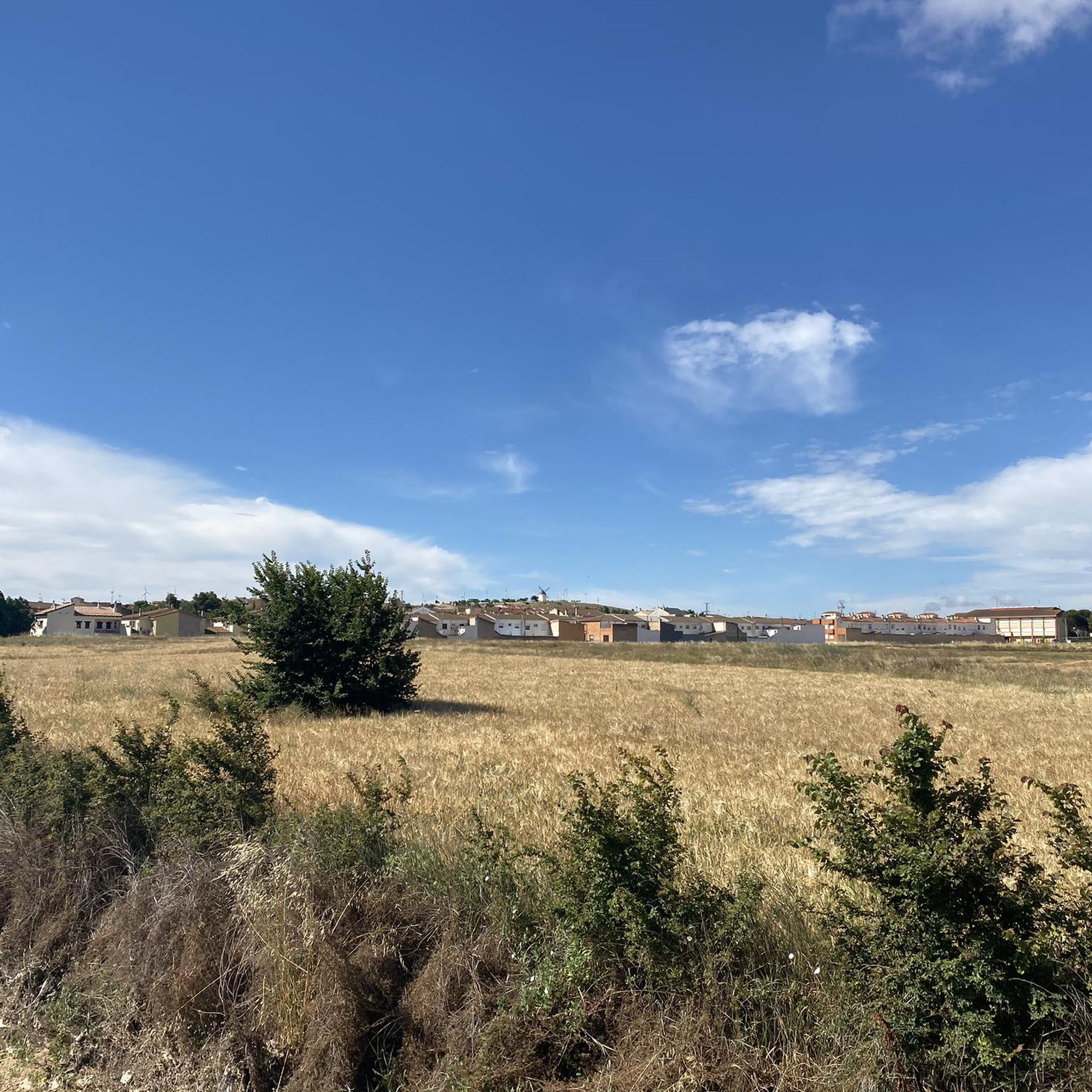
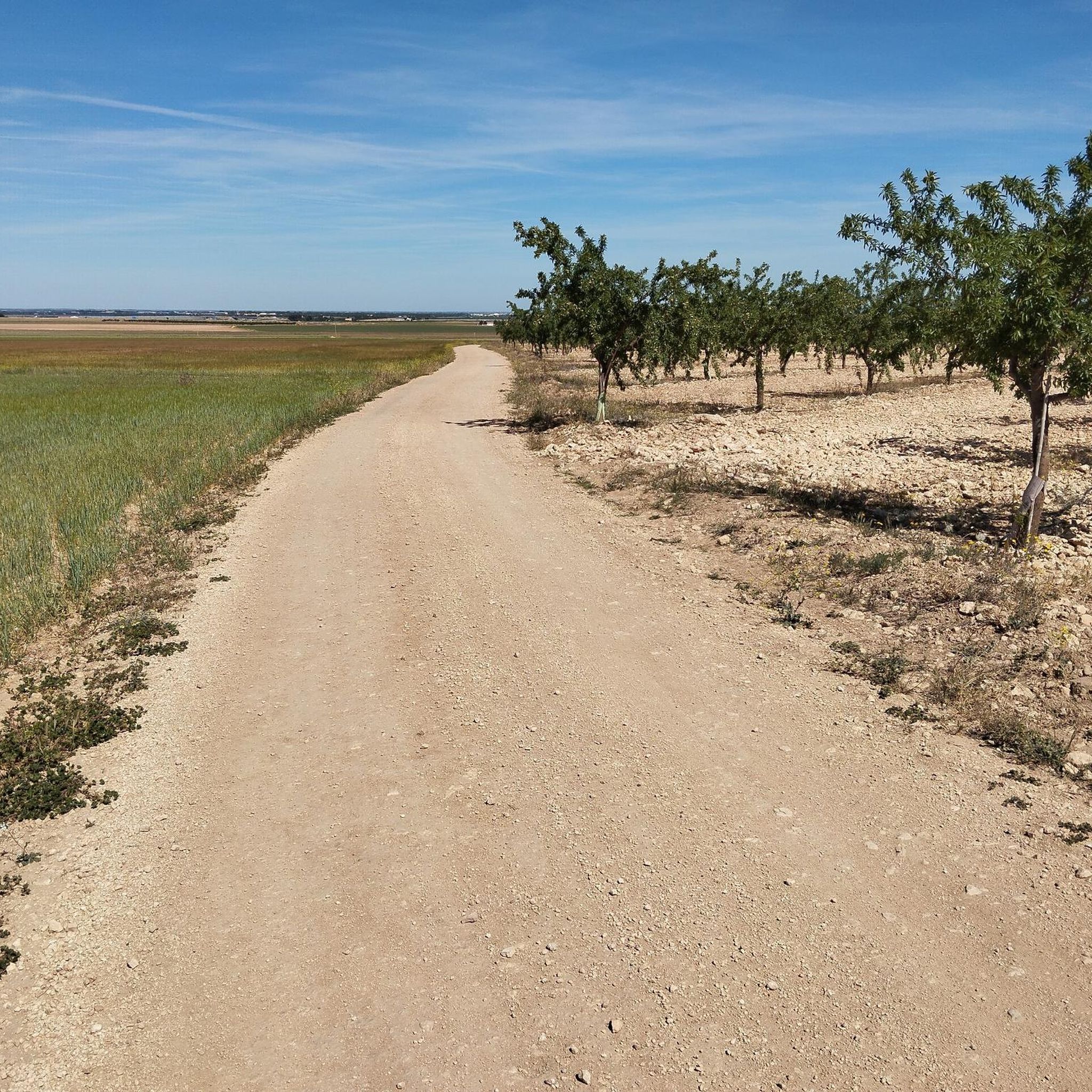
Hiking around Pozo Cañada offers access to a varied landscape characterized by rolling hills, agricultural plains, and areas of Mediterranean scrubland. The region features a network of trails, including circular hiking routes Pozo Cañada, that traverse open countryside and connect to nearby natural areas. Elevations are generally moderate, providing accessible hiking experiences.
Best hiking trails around Pozo Cañada
- The most popular hiking route is Sierra Procomunal Loop from Chinchilla de Monte-Aragón, a 4.6 miles (7.3 km) trail that takes…
Last updated: July 5, 2026
4.3
(3)
16
hikers
7.34km
02:01
120m
120m
Hike the moderate 4.6-mile La Sierra Procomunal circular route, enjoying castle views and diverse terrain near Chinchilla de Monte-Aragón.
4.8
(4)
20
hikers
13.1km
03:38
230m
230m
Hike the moderate 8.2-mile Senda del Peligro and Chinchilla Viewpoints Loop, offering views of Chinchilla de Monte-Aragón Castle.

Sign up for free
4.5
(4)
12
hikers
Moderate hike. Good fitness required. Easily-accessible paths. Suitable for all skill levels.
3
hikers
5.84km
01:42
160m
160m
Easy hike. Great for any fitness level. Easily-accessible paths. Suitable for all skill levels.
2
hikers
Moderate hike. Good fitness required. Easily-accessible paths. Suitable for all skill levels.
Get access to more routes and recommendations from other explorers.
Sign up for free
Already have an account?
Our route recommendations are based on thousands of hikes, rides, and runs completed by other people on komoot.
Start today with a free account
Your next adventure awaits.
Login or Signup

Tips from the Community


It is a very fun and recommended section. Although it is somewhat technical, it is not too technical and is affordable for all levels
1
1

This rectangular square is surrounded by the buttresses, the apse and the tower of the Archpriest Church of Santa María del Salvador. Upon accessing it through the Villa Arch, guarded by two castle cannons, visitors find an architecturally configured space. Plaza de la Mancha is a space full of history and vitality that is worth visiting if you ever find yourself in Chinchilla de Montearagón. 🌟
2
0

A very beautiful and interesting population.
0
0
The Sierra Procomunal is a publicly owned mountain located to the east of the Spanish city of Albacete, between the municipalities of Chinchilla de Montearagón, Higueruela and Hoya Gonzalo.
11
0

Lovely narrow path that goes through the pines. Please note that the path is also used by cyclists.
1
0
Beautiful narrow path with great views of Chinchilla.
2
0
Chinchilla de Monte-Aragón has been inhabited by various cultures, such as the Romans, the Visigoths and the Arabs. During the Middle Ages, the town had great strategic importance due to its position on the route between Valencia and Toledo. Its impressive castle is worth a visit.
2
0
Frequently Asked Questions
How many hiking trails are available around Pozo Cañada?
There are over 25 hiking trails around Pozo Cañada, offering a variety of experiences from easy strolls to more challenging routes. The region features a network of paths traversing open countryside and connecting to natural areas.
Are there easy hiking trails suitable for beginners in Pozo Cañada?
Yes, Pozo Cañada offers several easy hiking trails perfect for beginners. For instance, the Loop through the town and sierra of Chincilla de Mont Aragon — circular is an easy 3.6-mile (5.8 km) route that provides a gentle introduction to the area's landscape.
What is the best time of year to go hiking in Pozo Cañada?
The best time to hike in Pozo Cañada is typically during the spring (April-May) and autumn (September-October) when temperatures are mild and the landscape is vibrant. Summer can be very hot, making early morning or late afternoon hikes preferable, while winters are generally mild but can have cooler, wetter days.
Are there any circular hiking routes in Pozo Cañada?
Many of the trails around Pozo Cañada are circular, allowing you to start and end at the same point. An example is the Barrio de Triana, Camino de La Raposa, Senda de los miradores del Tejar — circular en la Sierra Procomunal, a 4.7-mile (7.6 km) route through varied terrain.
What can I see along the hiking trails around Pozo Cañada?
Hiking trails around Pozo Cañada often lead through agricultural plains and Mediterranean scrubland. You can also explore historical sites nearby. For example, routes originating from Chinchilla de Monte-Aragón offer views of the impressive Chinchilla Castle and the historic Plaza de la Mancha.
Are there any viewpoints along the hiking routes?
Yes, some routes offer panoramic viewpoints of the surrounding area. The Senda del Peligro and Chinchilla Viewpoints Loop is an 8.2-mile (13.1 km) trail specifically known for its scenic vistas.
Are the hiking trails in Pozo Cañada suitable for families with children?
Many trails in Pozo Cañada are suitable for families, especially the easier, shorter routes with moderate elevations. These paths provide a good opportunity for children to enjoy the outdoors without being overly strenuous. Always check the specific route details for distance and difficulty to ensure it matches your family's capabilities.
Can I bring my dog on the hiking trails in Pozo Cañada?
Generally, dogs are welcome on most hiking trails in the Pozo Cañada region, especially those in open countryside. However, it's always advisable to keep your dog on a leash, particularly near agricultural areas or if passing through nature reserves, to protect local wildlife and livestock. Remember to carry water for your pet.
Are there any more challenging or advanced hiking trails?
While many routes are easy to moderate, there are a few trails that offer a bit more challenge. The region has 3 routes classified as difficult. These typically involve longer distances or more significant elevation changes, such as the Sierra Procomunal y Bosque del Buho — circular desde Chinchilla de Monte-Aragon, which is a longer 8.7-mile (14.1 km) route.
What do other hikers enjoy most about hiking in Pozo Cañada?
The area is highly rated by the komoot community, with an average score of 4.7 stars from 20 reviews. Reviewers often praise the varied terrain, the accessibility of the trails, and the opportunity to explore the open countryside and historical towns like Chinchilla de Monte-Aragón.
How long do hikes around Pozo Cañada typically take?
Hike durations vary significantly depending on the route's length and your pace. Shorter, easy trails can take around 1.5 to 2 hours, such as the Sierra Procomunal Loop from Chinchilla de Monte-Aragón, which is about 2 hours for 4.6 miles (7.3 km). Longer, moderate routes can extend to 4-5 hours or more.
Is parking available at the trailheads?
Parking availability varies by trailhead. For routes starting from towns like Chinchilla de Monte-Aragón, you can often find public parking within the town or designated areas near the start of the trails. For more remote routes, roadside parking might be an option. It's always a good idea to check specific route descriptions or local maps for parking information before you go.
Most popular attractions around Pozo Cañada

Get inspired with the komoot mobile app


Explore more
Browse the best Hikes in other regions.
