The 6 Most Amazing Peaks around Gaucín
Best mountain peaks around Gaucín are found within the Serranía de Ronda, an area characterized by its mountainous landscape. This region offers numerous elevated areas and peaks for exploration. Gaucín itself is situated amidst these natural features, providing access to diverse terrain. The area is known for its rich biodiversity and varied hiking opportunities.
Best mountain peaks around Gaucín
- The most popular mountain peaks is Pico de los Reales — Summit View, a summit that offers spectacular views after…
Last updated: August 25, 2026
View from the peak of Los Reales
Highlight • Summit
Showing Translation
Tip by

Salvador Guerrero Viewpoint
Highlight • Viewpoint
Showing Translation
Tip by
Sign up now to discover places like this
Get recommendations on the best single tracks, peaks, & plenty of other exciting outdoor places.
Sign up for free
Chapas Hill
Highlight • Summit
Tip by

Sendero de Los Realillos – Las Peridotitas, Sierra de Béjar
Highlight (Segment) • Trail
Translated by Google •
Tip by

Alto del Porrejón
Highlight • Summit
Translated by Google •
Tip by

Start today with a free account
Your next adventure awaits.
Login or Signup
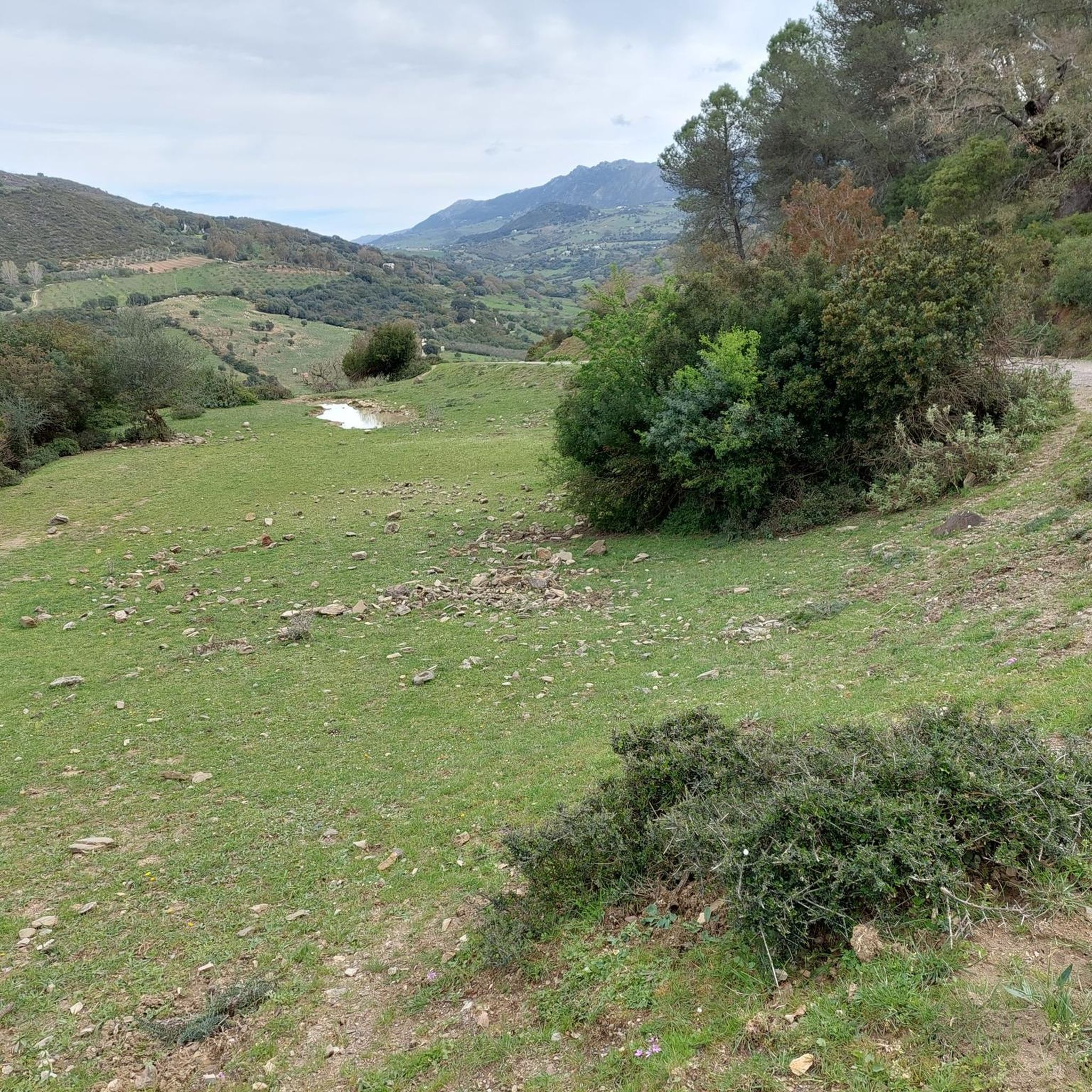
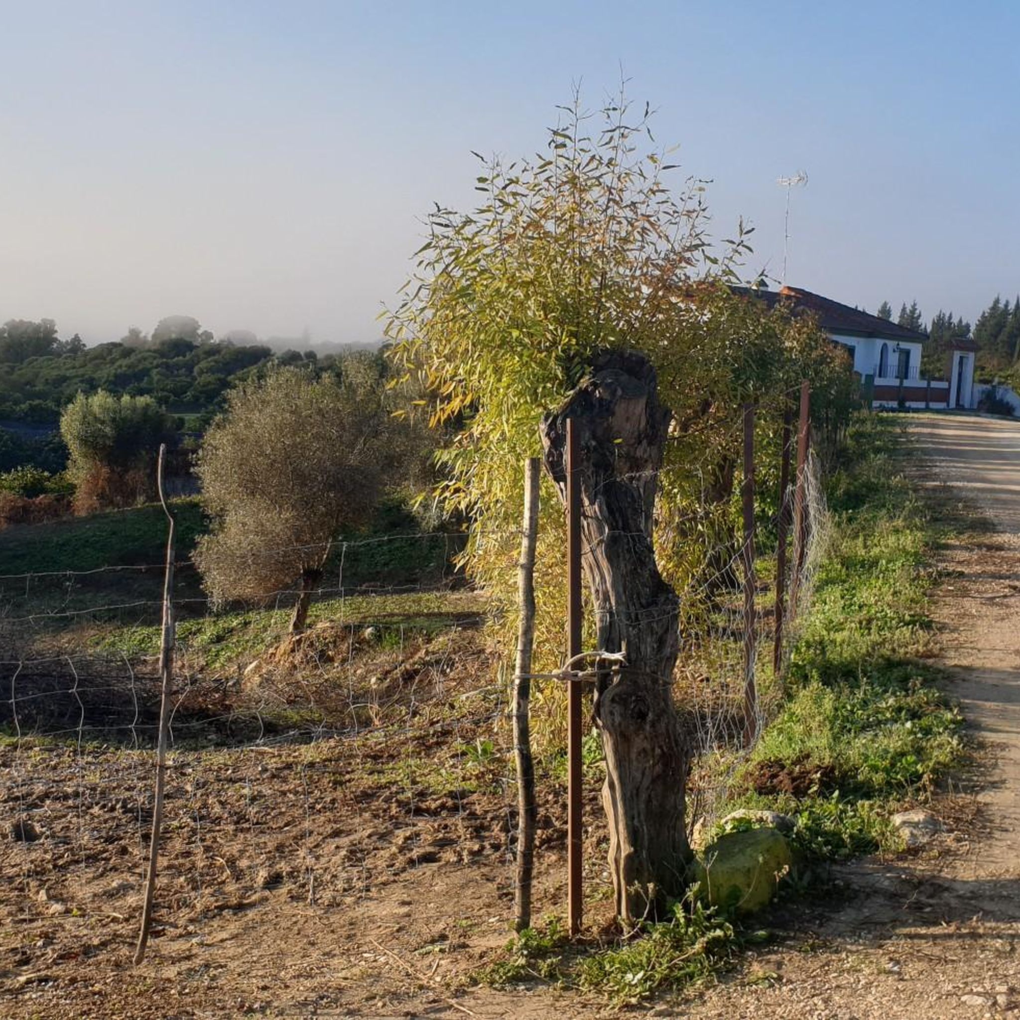
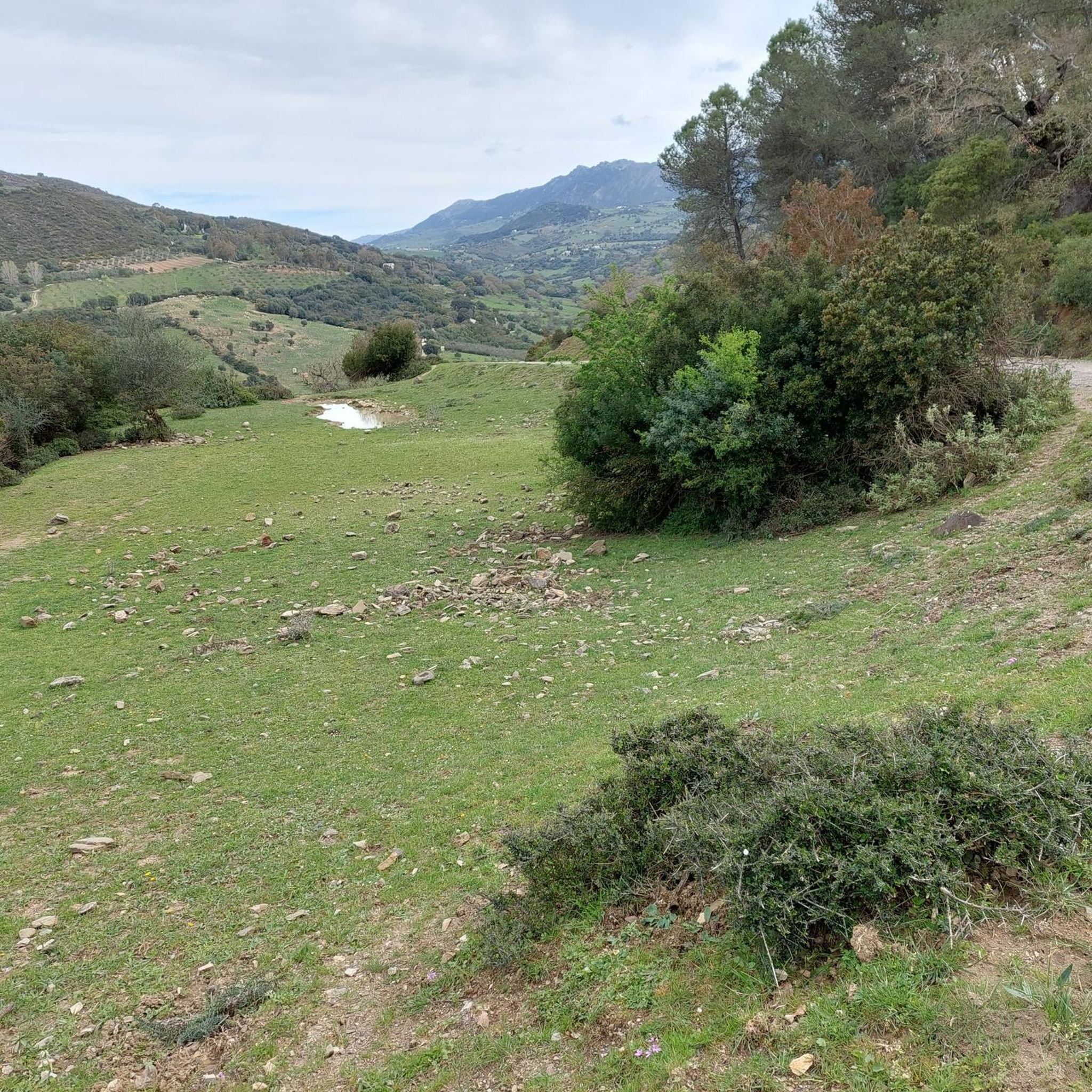
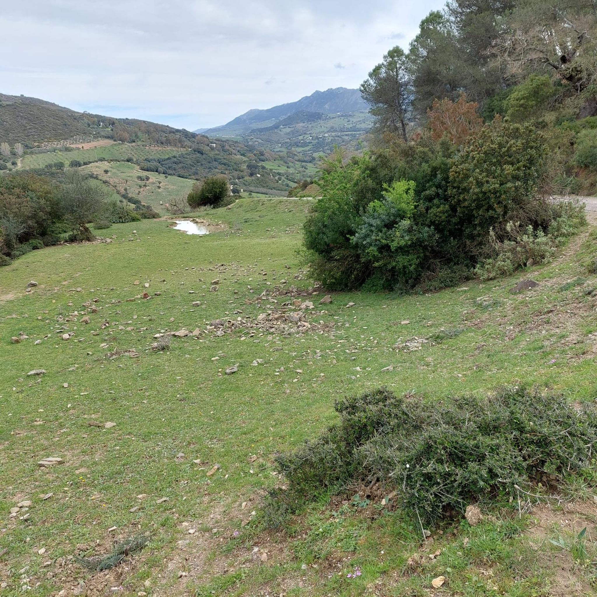
Tips from the Community

It's very windy up there. Take something warm with you. The view is breathtaking. With good visibility, you can see as far as Gibraltar and the Atlas Mountains.
0
0

Great view to Gibraltar and Africa among others. Last climb to the top the path was sometimes difficult to follow because of many fallen burnt trees. So then keep in the direction of the visible transmission towers.
0
0

Start from the parking lot behind the Los Reales refuge. First, follow the green/white trail markers, then the cairns, and if you lose your orientation, always head towards the power poles. For those who want it easy, the closed road 150 m before the refuge is recommended, here you can go up comfortably, the great view comes at the end.😁
2
0
A brilliant view of the summit. I can only agree with the previous speaker here. After the forest fire, nature is currently recovering.
1
0

The 3.1-kilometer climb rewards you with spectacular views. Los Reales peak is the highest peak in Sierra Bermeja with 1452 meters above sea level. It is best to climb it on clear days, when you can even see the peaks of Sierra Nevada.
3
1
This viewpoint is on the ascent to the peak of Los Reales, in the Sierra Bermeja mountain. Spectacular views of the Estepona bay. Now, can you reach the summit?
1
0

Sensational foresight over the Costa del Sol to Africa.
0
0
Entry to the trail inconspicuous directly behind the sign. Then follow the arrows. A short detour to the summit is recommended. View to Africa. Trail is very exposed and technical. Caution: no circular route. Recommendation: at the end of the path via Sendero de Los Pinsapos back to the parking lot.
0
0
Frequently Asked Questions
What are the most recommended mountain peaks to visit near Gaucín?
For spectacular panoramic views, consider Pico de los Reales — Summit View, which is the highest peak in Sierra Bermeja at 1,452 meters. On clear days, you can see the Sierra Nevada. Another excellent choice is El Hacho (1011m), the highest mountain directly overlooking Gaucín, offering views of Gibraltar and the North African coast. For a historical perspective with stunning vistas, the hill of Castillo del Águila provides iconic views from within Gaucín itself.
Are there any easy or family-friendly mountain walks around Gaucín?
While many peaks offer intermediate to challenging climbs, the area around Gaucín provides various hiking opportunities. For a less strenuous experience, consider exploring the trails that form part of the GR141 Gran Sendero de la Serranía de Ronda, which often follow ancient muleteer paths. These routes offer excellent views without always requiring a summit ascent. The village itself has accessible paths leading to viewpoints like the Salvador Guerrero Viewpoint, which offers impressive views of the bay of Estepona.
What kind of natural features can I expect to see when hiking the mountain peaks near Gaucín?
The mountain peaks around Gaucín are rich in biodiversity. On the slopes of El Hacho, you'll find an abundance of butterflies and wildflowers, including a notable density of flowering peonies in season. The trails also pass through forests of cork oaks, holm oaks, and gall oaks. You might also encounter an ephemeral waterfall called Arroyo Carboneras. From many summits, such as Pico de los Reales de Sierra Bermeja, you can enjoy expansive views of the Mediterranean Sea and the African continent.
What is the best time of year to hike the mountain peaks around Gaucín?
The Serranía de Ronda, where Gaucín is located, is considered one of the most interesting regions for hiking in the mid-mountains of Spain. Spring and autumn generally offer the most pleasant weather for hiking, with milder temperatures and vibrant flora. Summer can be very hot, making early morning or late afternoon hikes preferable, while winter can bring cooler temperatures and occasional rain, but also very clear views.
Are there any historical sites located on or near the mountain peaks in Gaucín?
Yes, the most prominent historical site is the Castillo del Águila (Eagle Castle), which sits atop a significant elevation within Gaucín. With origins dating back to Roman times, the castle offers not only historical intrigue but also some of the most breathtaking views in the Costa del Sol, extending to Gibraltar and North Africa on a clear day.
What outdoor activities can I do near the mountain peaks around Gaucín?
Beyond hiking to the peaks, the Gaucín area offers a variety of outdoor activities. You can explore numerous hiking routes, such as the 'Gaucín – circular by the Old Road of Ronda' or the 'Scenic View of the Mountains loop from Gaucín'. For cyclists, there are challenging road cycling routes like the 'Ronda City Walls – Gaucín loop from San Pablo'. Runners can also find trails, including the 'El Colmenar loop from Gaucin'. You can find more details on these activities in the Hiking around Gaucín, Road Cycling Routes around Gaucín, and Running Trails around Gaucín guides.
What do visitors enjoy most about the mountain peaks around Gaucín?
Visitors consistently praise the spectacular and panoramic views from the summits, often highlighting the ability to see the Rock of Gibraltar and the North African coast on clear days. The diverse flora and fauna, particularly the wildflowers and butterflies on peaks like El Hacho, are also highly appreciated by nature lovers. The sense of adventure and the rewarding feeling after a climb, as noted for Pico de los Reales — Summit View, are also common sentiments.
Are there any challenging mountain peaks for experienced hikers near Gaucín?
Yes, for experienced hikers seeking a challenge, Chapas Hill is noted for its challenging terrain, with some sections not having a clear path. Another demanding ascent is Sierra de los Pinos Summit (1,395 m), located in the Sierra de Grazalema natural park, which features a geodesic vertex at its top.
Where can I find detailed hiking routes for the Gaucín mountains?
For detailed hiking routes, you can refer to the Hiking around Gaucín guide. It includes various trails, such as the 'Gaucín – circular by the Old Road of Ronda' and the 'Scenic View of the Mountains loop from Gaucín', with information on distance and difficulty.
Are there any specific viewpoints that offer exceptional vistas without a full summit climb?
Yes, the Salvador Guerrero Viewpoint is a designated observation point on the climb to Pico de los Reales, offering spectacular views of the bay of Estepona. Additionally, the Castillo del Águila in Gaucín, while on an elevated hill, provides world-class views without requiring a strenuous mountain ascent.
What are the typical terrain and elevation changes like on Gaucín mountain trails?
The terrain around Gaucín is characteristic of the Serranía de Ronda, featuring mountainous landscapes with significant elevation changes. Trails often involve ascents and descents through forests of cork, holm, and gall oaks, as well as open areas with wildflowers. For example, the circular trek up El Hacho involves a 500-meter ascent over 13 kilometers, mixing classic hiking paths with some exciting exposure on features like the 'Devil's Thumb' rock.
Most popular attractions around Gaucín

Get inspired with the komoot mobile app


Explore more
See even more amazing summits around Gaucín with these guides:
