The best running trails around Torremocha Del Pinar
15
runners
4
runs
Jogging around Torremocha Del Pinar offers varied terrain within the Alto Tajo Natural Park, characterized by river valleys like the Arandilla and dramatic ravines such as the Montesinos and Barranco de la Hoz. The region features ancient juniper forests, known as "Sabinar," alongside areas with unique plant communities like the Micro-reserve of Prados Húmedos. Runners can explore landscapes defined by limestone cliffs, rocky outcrops, and holm oak hillsides, providing diverse environments for running routes.
Best jogging routes around Torremocha Del…
Last updated: June 28, 2026
3
runners
8.76km
01:04
220m
220m
This difficult 5.4-mile jogging loop in Alto Tajo Natural Park features dramatic gorges, Playa del Puente de San Pedro, and San Pedro Bridge
12.7km
01:33
230m
230m
Jog the moderate El Rodenal Trail, a 7.9-mile route in Alto Tajo Nature Park, featuring the Barranco de la Hoz Viewpoint.

Sign up for free
7
runners
Moderate run. Good fitness required. Mostly paved surfaces. Suitable for all skill levels.
3
runners
7.37km
00:53
90m
90m
Moderate run. Good fitness required. Mostly accessible paths. Some sure footedness required.
2
runners
20.2km
02:29
250m
250m
Hard run. Very good fitness required. Mostly paved surfaces. Suitable for all skill levels.
Our route recommendations are based on thousands of hikes, rides, and runs completed by other people on komoot.
Start today with a free account
Your next adventure awaits.
Login or Signup
Tips from the Community

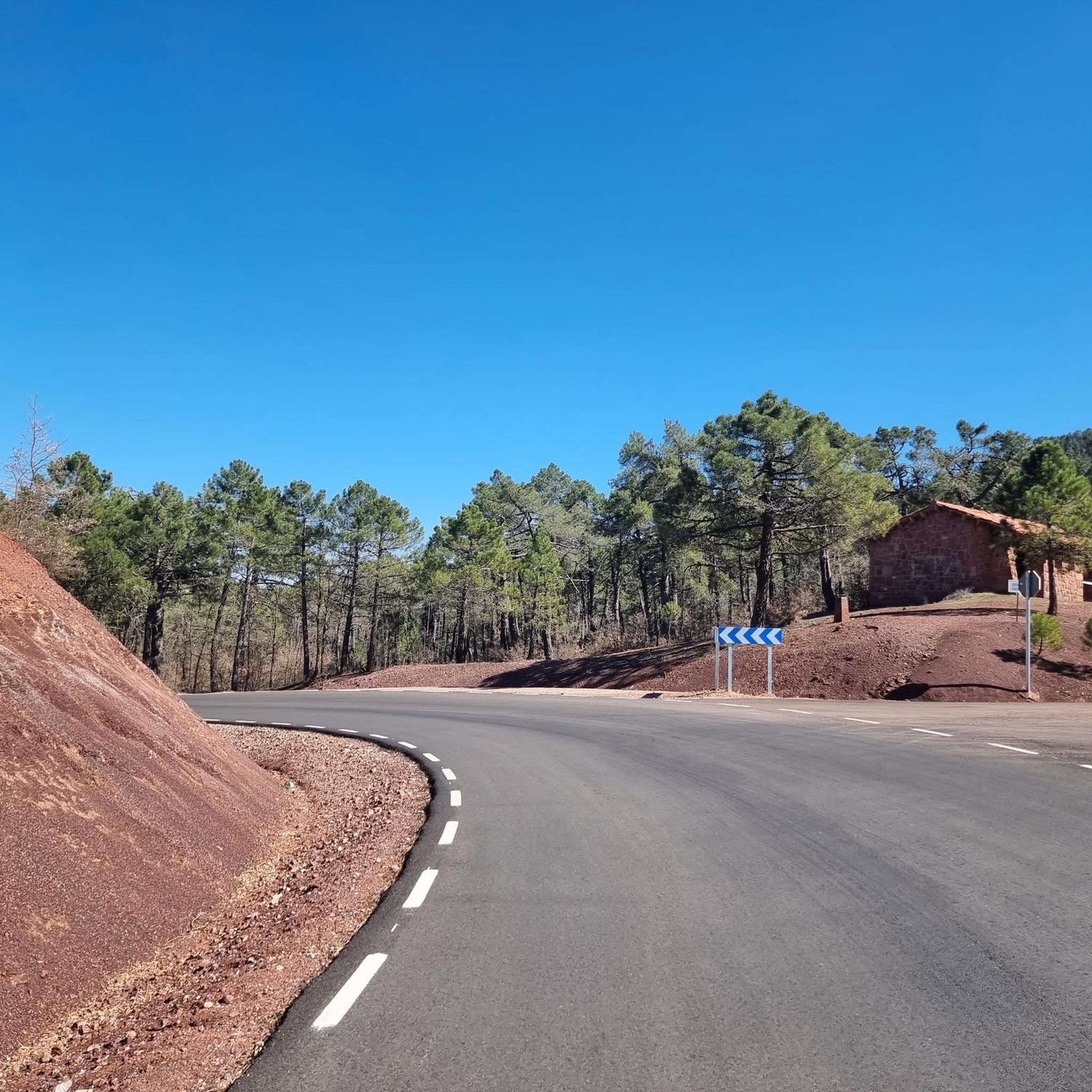
A recommended area for walking.
0
0
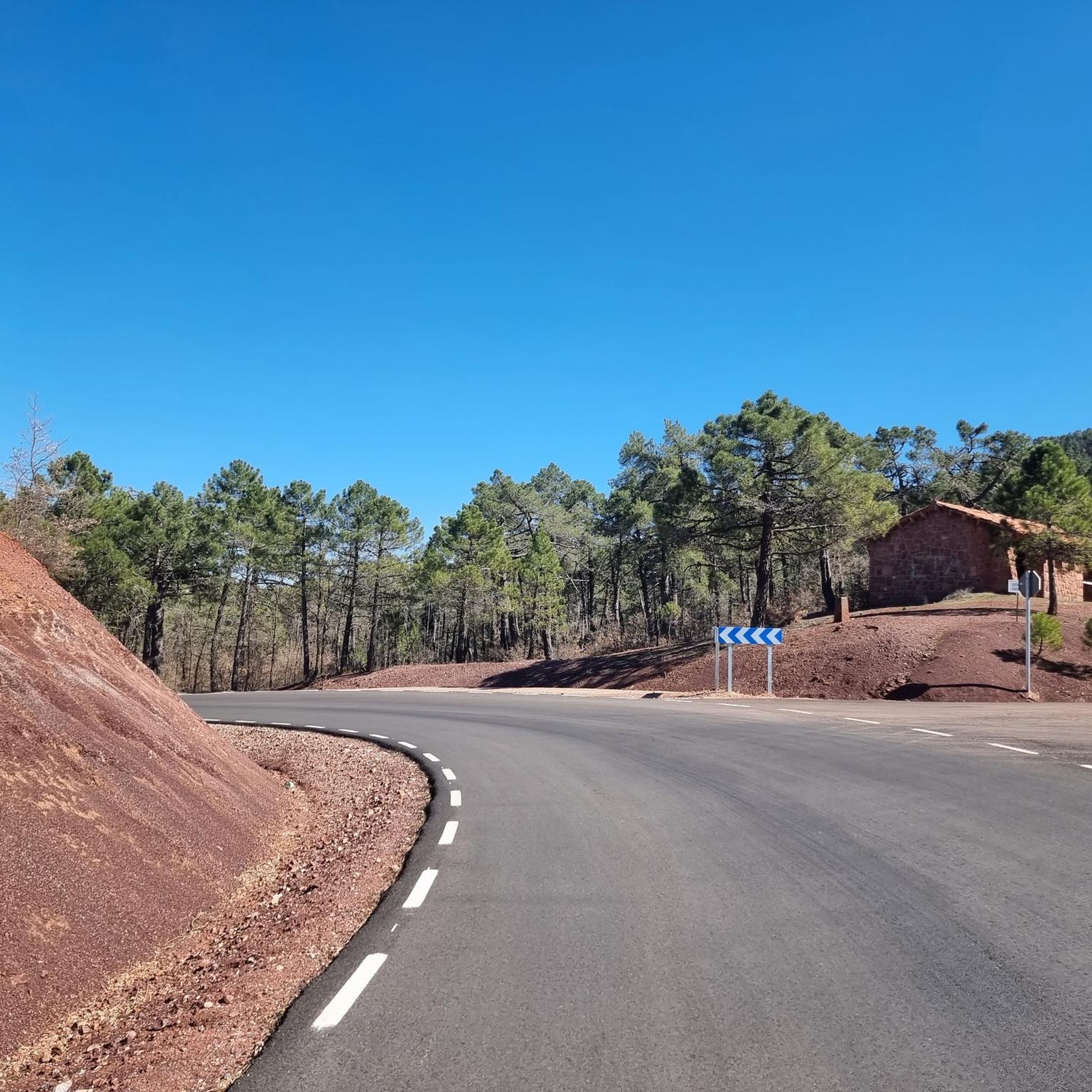
A recommended area for walking.
0
0

Hospedería Virgen de la Hoz is a charming rural accommodation. This place offers a peaceful and natural setting, ideal for relaxing and enjoying outdoor activities such as hiking, cycling and bird watching. The inn has cosy and well-equipped rooms, a restaurant serving delicious à la carte dishes, and a terrace for relaxing. In addition, guests can enjoy Wi-Fi in public areas.
11
0

The Sanctuary of Our Lady of La Hoz is an extraordinary place for its landscape and religiosity. Beauty, Shadow, water, freshness, nature and Meditation.
1
0
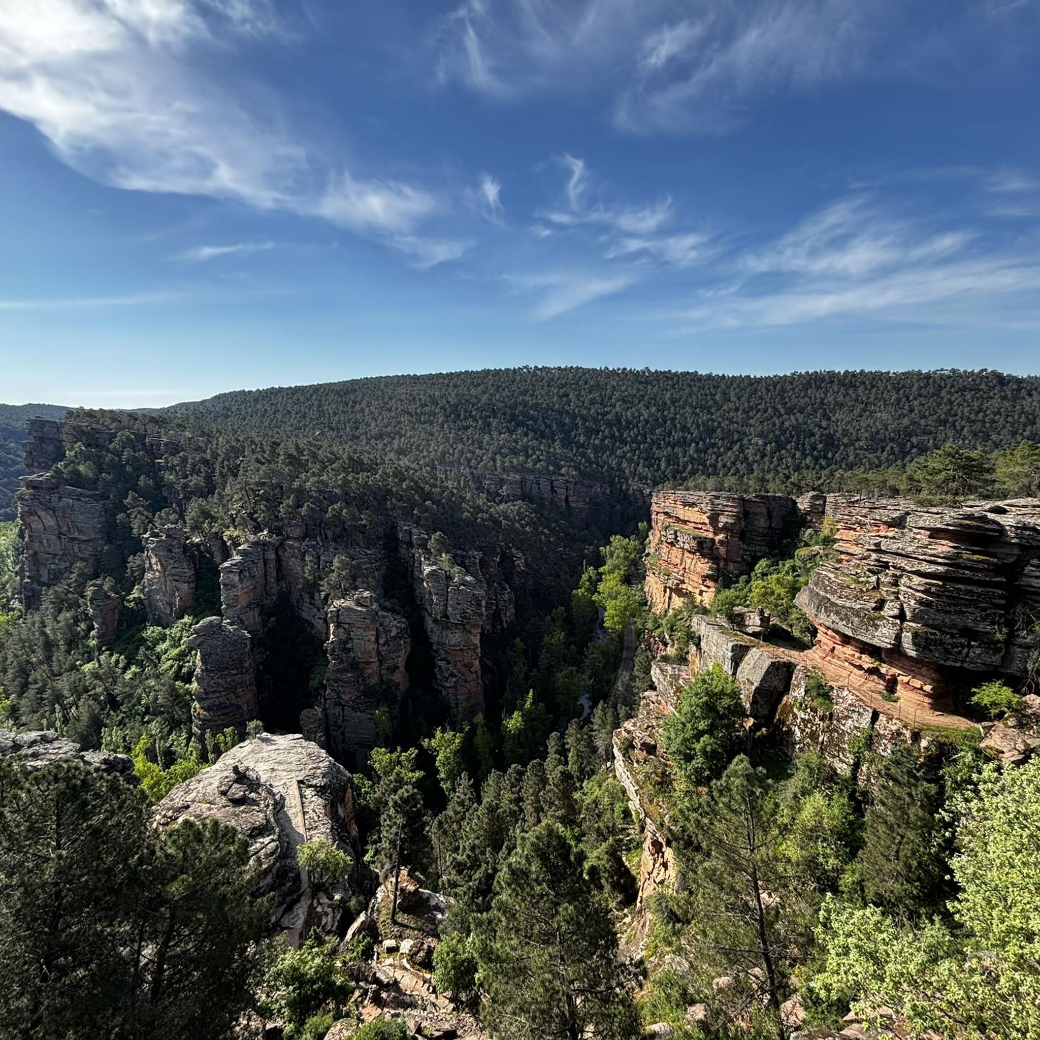
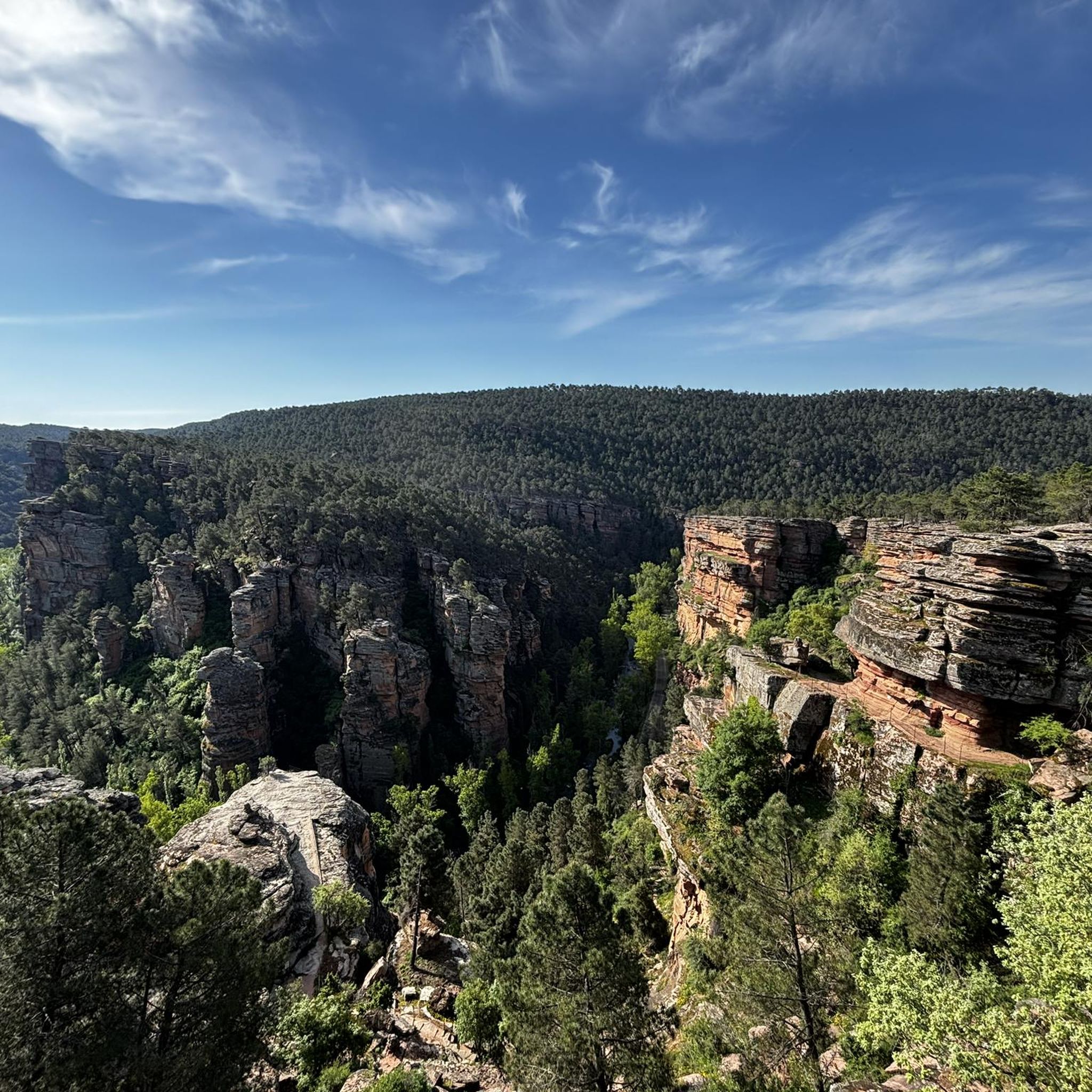
The Barranco de La Hoz is a wonder of nature. From its viewpoint you can see an extraordinary landscape.
1
0
The Barranco de la Hoz, also known as Barranco de la Virgen de la Hoz, is a magical enclave in the province of Guadalajara, within the Alto Tajo Natural Park. This place, carved over the centuries by the Gallo River, presents a spectacular reddish canyon, one of the most beautiful in the Iberian Peninsula and the most visited in the Alto Tajo region. Here, legends and nature intermingle to create a landscape with a unique magic. Barranco de la Hoz is located just 15 kilometers from Molina de Aragón, between Corduente and Ventosa.
7
0

The section of the Gallo river ravine is impressive, with some rocky shapes resulting from erosion that make you stop over and over again.
0
0

A very nice bridge for walkers and cyclists if they ride a bike. It allows you to cross the Tagus River and avoid the road. The view from both bridges is nice, but I prefer the safety of the pedestrian bridge.
1
0
Frequently Asked Questions
Are there running routes suitable for beginners in Torremocha Del Pinar?
While the routes listed in this guide are primarily moderate to difficult, the region offers varied terrain within the Alto Tajo Natural Park. For those new to running, we recommend exploring shorter sections of the moderate trails or seeking out local paths that follow the gentler river valleys, such as those along the Arandilla, which can provide a less strenuous experience.
What are some challenging running trails in Torremocha Del Pinar?
For a more demanding run, consider the Beach of Puente de San Pedro and waterfall of Campillo — circular trailrunning in the Natural Park of Alto Tajo. This difficult 5.4-mile (8.8 km) route features significant elevation changes and varied terrain, offering a robust workout within the natural park.
Can I find running routes with scenic viewpoints in the area?
Absolutely. The region is known for its dramatic landscapes. The Barranco de la Hoz Viewpoint loop from Corduente is an excellent choice, leading you through the scenic Barranco de la Hoz area with stunning vistas. You can also find breathtaking views from the View of Barranco de la Hoz highlight.
Are there any running trails that explore the famous Barranco de la Hoz?
Yes, the dramatic Barranco de la Hoz is a highlight for runners. The Barranco de la Hoz y Virgen de la Hoz — circular trailrunning por el Parque de Molina de Aragón-Alto Tajo is a popular moderate route that takes you through this spectacular reddish canyon, carved by the Gallo River.
Are there circular running routes available in Torremocha Del Pinar?
Yes, several routes in the area are circular, allowing you to start and end at the same point. Examples include the Beach of Puente de San Pedro and waterfall of Campillo and the Barranco de la Hoz y Virgen de la Hoz, both offering loop experiences.
What natural landmarks can I see while jogging in the region?
Torremocha Del Pinar, situated within the Alto Tajo Natural Park, is rich in natural beauty. Along your runs, you might encounter the stunning Beautiful stretch between the cliffs in Barranco de la Hoz, or the serene Trail along the Tajo River. The area also features ancient juniper forests, known as 'Sabinar,' and unique ecosystems like the Micro-reserve of Prados Húmedos.
How many running routes are available in Torremocha Del Pinar?
Komoot currently features 4 distinct running routes around Torremocha Del Pinar. These include a mix of moderate and difficult trails, offering diverse experiences for runners.
Are the running trails in Torremocha Del Pinar dog-friendly?
Many trails within the Alto Tajo Natural Park are generally dog-friendly, but it's always recommended to keep dogs on a leash to protect wildlife and ensure their safety, especially in areas with varied terrain or near cliffs. Always check local regulations for specific routes.
What is the best time of year to go jogging in Torremocha Del Pinar?
The region experiences cold winters and dry summers. Spring and autumn are generally ideal for jogging, offering milder temperatures and vibrant natural scenery. The high altitude (average 1247 meters) can make summers warm, but early mornings or late evenings can still be pleasant. Winters can be challenging due to cold conditions.
Are there family-friendly running options in Torremocha Del Pinar?
While the listed routes lean towards moderate to difficult, families looking for gentler running or walking experiences can explore the less strenuous paths along the Arandilla river valley. These areas often provide flatter terrain and beautiful natural surroundings suitable for all ages.
Is parking available near the running trails?
Parking availability varies by trailhead. For routes like those exploring Barranco de la Hoz, you can often find designated parking areas in nearby villages such as Corduente or close to popular access points. It's advisable to check specific route details or local information for the most convenient parking spots.
Can I experience the unique juniper forests while jogging?
Yes, Torremocha Del Pinar is home to a significant 'Sabinar' or juniper forest, one of the largest in Europe. While not explicitly detailed in every route, many trails in the region will take you through or near these ancient, tranquil forests, offering a unique and beautiful backdrop for your run.
Most popular attractions around Torremocha Del Pinar

Get inspired with the komoot mobile app


Explore more
Browse the best Running Trails & Routes in other regions.
