The best walks and hikes around Torremocha Del Campo
4.6
(91)
593
hikers
34
hikes
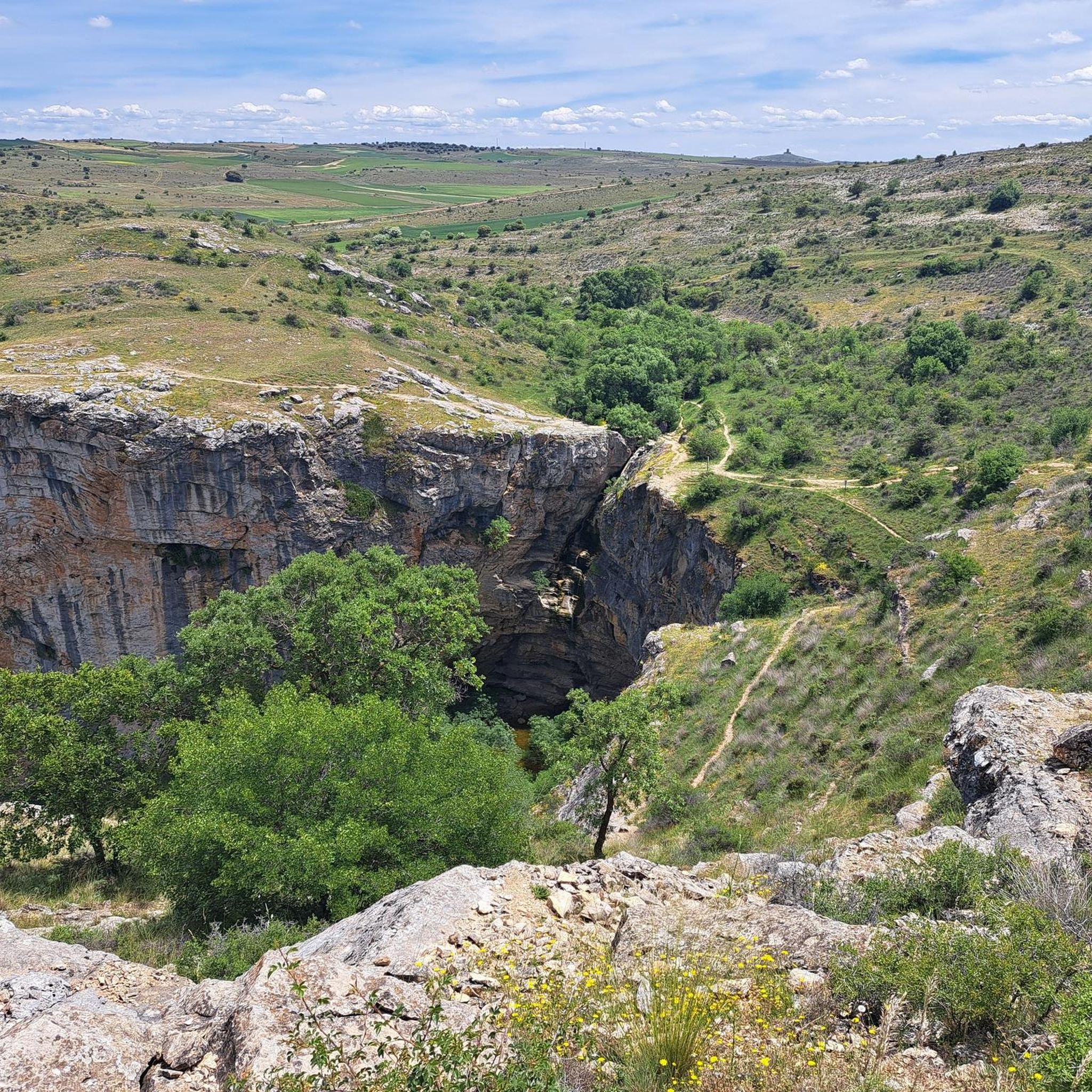
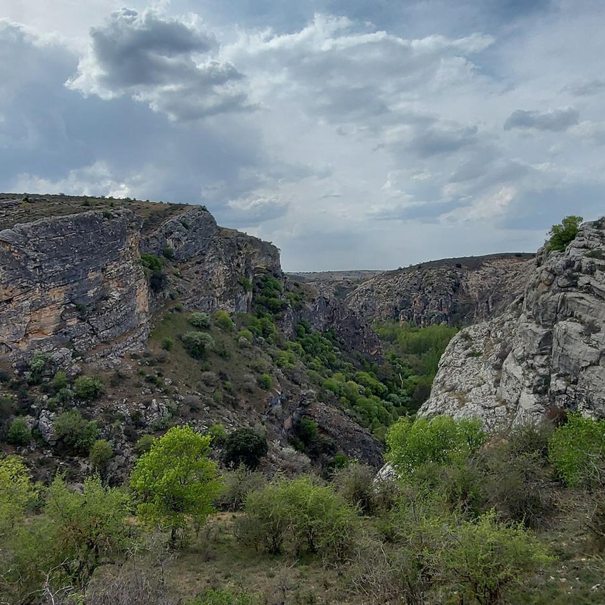
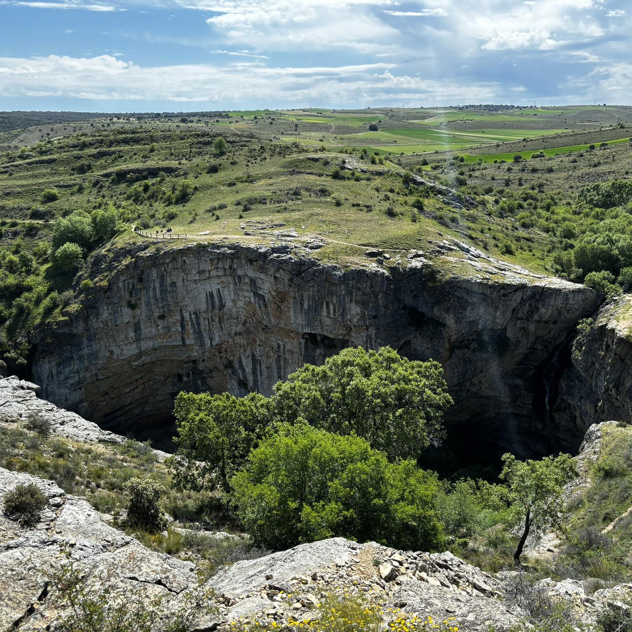
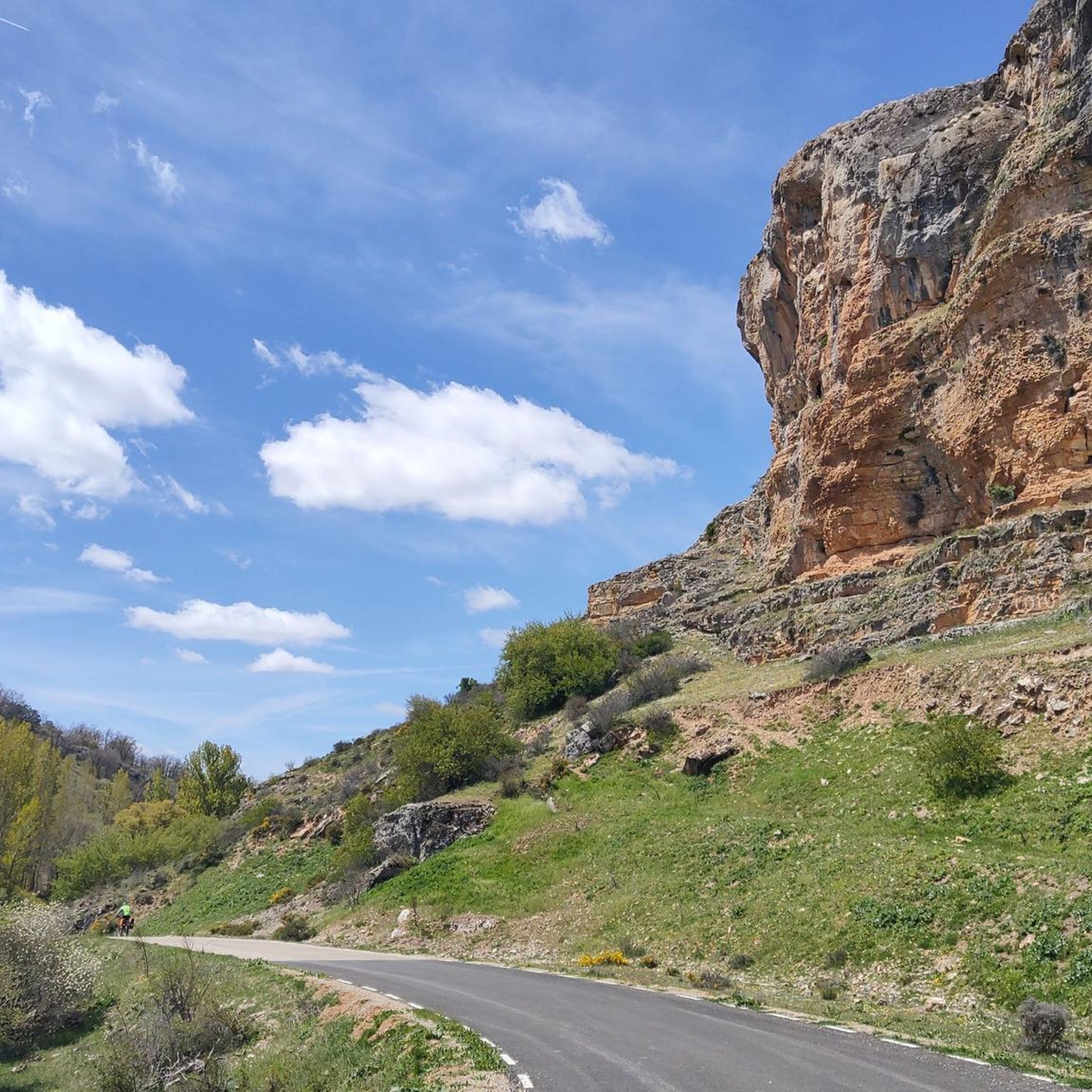
Hiking around Torremocha Del Campo offers diverse natural landscapes within the Sierra de Guadalajara. A significant portion of the area lies within the Barranco del Río Dulce Natural Park, featuring the notable Gollorio Waterfall and Pelegrina Gorge. The region is characterized by an expansive Castilian landscape with open horizons and gentle undulations, providing varied terrain for outdoor activities.
Best hiking trails around Torremocha Del Campo
- The most popular hiking route is Hoz de Pelegrina and Gollorio Waterfall Trail, a 4.4 miles (7.1 km) trail that takes 2 hours 17 minutes to complete. This moderate route explores the dramatic Pelegrina Gorge and leads to the Gollorio Waterfall.
- Another top favourite among local hikers is Pelegrina Castle – Gollorio Waterfall loop from Castillo de Pelegrina, a moderate 4.8 miles (7.8 km) path. This route offers views of the historic Pelegrina Castle and the natural beauty surrounding the Gollorio Waterfall.
- Local hikers also love the Hiking loop from Castillo de Pelegrina, a 2.7 miles (4.4 km) trail leading through the area around the castle, often completed in about 1 hour 10 minutes.
- Hiking around Torremocha Del Campo is defined by the Barranco del Río Dulce Natural Park, the Gollorio Waterfall, and the expansive Castilian landscape. The network offers options for easy, moderate, and more challenging routes.
- The routes in Torremocha Del Campo are highly rated by the komoot community with an average score of 4.5 stars from over 70 reviews. More than 500 hikers have used komoot to explore Torremocha Del Campo's varied terrain.
Last updated: July 1, 2026
4.8
(25)
74
hikers
7.10km
02:17
140m
140m
Moderate hike. Good fitness required. Mostly accessible paths. Sure-footedness required.
4.8
(18)
195
hikers
7.77km
02:20
210m
210m
Moderate hike. Good fitness required. Mostly accessible paths. Sure-footedness required.

Sign up for free
4.7
(6)
70
hikers
4.36km
01:10
50m
50m
Easy hike. Great for any fitness level. Easily-accessible paths. Suitable for all skill levels.
5.0
(2)
13
hikers
14.5km
04:03
220m
220m
Moderate hike. Good fitness required. Mostly accessible paths. Sure-footedness required.
5.0
(4)
32
hikers
14.7km
03:53
140m
140m
Moderate hike. Good fitness required. Easily-accessible paths. Suitable for all skill levels.
Get access to more routes and recommendations from other explorers.
Sign up for free
Already have an account?
Our route recommendations are based on thousands of hikes, rides, and runs completed by other people on komoot.
Start today with a free account
Your next adventure awaits.
Login or Signup
Tips from the Community

Despite its steep and difficult access, Gollorio Waterfall is a popular spot for hikers. The trail leading to it offers spectacular views and is part of the Gollorio Waterfall Route. In long sections, the trail runs close to the ravine without any lateral protection, so caution is advised.
2
0

This town with steep slopes crowned by a castle is the gateway to the Dulce River ravine.
0
0
Despite its steep and difficult access, the Gollorio Waterfall is a popular spot for hiking enthusiasts. The trail leading up to it offers spectacular views and is part of the Gollorio Waterfall Route. During long stretches, the trail runs close to the ravine without lateral protection, so caution is advised.
1
0

On the curve of the Dulce river are the ruins of the castle of Pelegrina. Incredible viewpoint of the town and what makes the Barranco del Río Dulce Natural Park a unique landscape to visit.
1
0

This location was used as a camp for the team of the naturalist and creator of the "Man and the Earth" program.
0
0
Spanish fortification built in ashlar stone between the 12th and 13th centuries in the town of Pelegrina. It is a rocky castle built on a hill that dominates the valley of the Río Dulce.
2
0
Waterfall located in the bed of the Gollorio ravine, a tributary of the Dulce River, within the natural park of the Río Dulce Ravine. It is about fifty meters high and only appears from autumn to spring when the rains fill the sources that supply the bed of the ravine.
2
1

La Cabrera is a district belonging to the municipality of Sigüenza and which is crossed by the Río Dulce. The banks of this river offer beautiful green spaces close to the town.
0
0
Frequently Asked Questions
How many hiking trails are available around Torremocha del Campo?
There are over 25 hiking trails in the Torremocha del Campo area, offering a variety of experiences. These include 8 easy routes, 16 moderate routes, and 3 more challenging options, ensuring there's something for every skill level.
Are there any circular hiking routes in the area?
Yes, many routes in the region are circular. For example, the Pelegrina Castle – Gollorio Waterfall loop from Castillo de Pelegrina is a moderate 7.8 km path offering views of the historic castle and the waterfall. Another option is the easier Hiking loop from Castillo de Pelegrina, which is 4.4 km long.
What natural attractions can I see while hiking near Torremocha del Campo?
The region is rich in natural beauty. You can explore the dramatic Barranco del Río Dulce Natural Park, which features the impressive Gollorio Waterfall and the scenic Río Dulce Gorge. The area also offers expansive Castilian landscapes with open horizons and gentle undulations, perfect for enjoying the tranquility of nature.
Are there any historical landmarks or points of interest along the trails?
Absolutely. Many trails pass by significant historical sites. The ruins of Pelegrina Castle offer an incredible viewpoint overlooking the town and the natural park. The broader municipality also boasts architectural heritage like the Church of San Miguel Arcángel and the Hermitage of Santa Ana, and is part of the historical-literary "Ruta del Cid."
What is the best time of year to go hiking in Torremocha del Campo?
The Gollorio Waterfall, a major attraction, is typically most visible from autumn through spring. This suggests these seasons offer lush landscapes and active water features. The expansive Castilian landscape is enjoyable in milder weather, making spring and autumn ideal for comfortable hiking. Summers can be hot, while winters might offer a different, serene experience.
Are there any family-friendly hiking options?
Yes, there are several easy routes suitable for families. The Hiking loop from Castillo de Pelegrina is an easy 4.4 km trail that can be completed in about 1 hour 10 minutes, offering a gentle introduction to the area's beauty.
Can I bring my dog on the hiking trails?
The Barranco del Río Dulce Natural Park, which encompasses many of the hiking trails, is generally dog-friendly. However, it's always advisable to keep dogs on a leash, especially in protected areas or near wildlife, and to check specific trail regulations before you go.
What is the terrain like on the trails around Torremocha del Campo?
The terrain is diverse, ranging from the dramatic ravines and steep sections near the Gollorio Waterfall to the gentle undulations of the expansive Castilian landscape. Trails within the Barranco del Río Dulce Natural Park can be rugged, while other areas offer tranquil walks through cultivated lands.
Is parking available near the trailheads?
While specific parking details for every trailhead are not provided, the presence of routes starting from places like Castillo de Pelegrina suggests that parking options are available in or near villages and popular starting points within the Barranco del Río Dulce Natural Park. It's recommended to check local signage upon arrival.
What do other hikers say about the trails in Torremocha del Campo?
The hiking routes in Torremocha del Campo are highly rated by the komoot community, with an average score of 4.5 stars from over 70 reviews. Hikers often praise the diverse natural landscapes, the stunning views of the Barranco del Río Dulce Natural Park, and the presence of notable features like the Gollorio Waterfall and Pelegrina Gorge.
Are there any long-distance hiking options in the region?
For those seeking a longer adventure, the Pelegrina Castle – Gollorio Waterfall loop from Río Dulce is a moderate 14.5 km route. This trail allows for a more extended exploration of the natural park and its key attractions.
Are there any cafes or pubs in Torremocha del Campo or nearby villages?
Torremocha del Campo and its surrounding hamlets, such as Pelegrina, are small rural communities. While specific establishments are not listed, these villages typically offer local amenities where hikers can find refreshments or a meal. It's best to check locally for current opening times.
Most popular routes around Torremocha Del Campo
Most popular attractions around Torremocha Del Campo

Get inspired with the komoot mobile app


Explore more
Browse the best Hikes in other regions.
