The best cycling routes around Montellà I Martinet
4.7
(24)
1,621
riders
79
rides
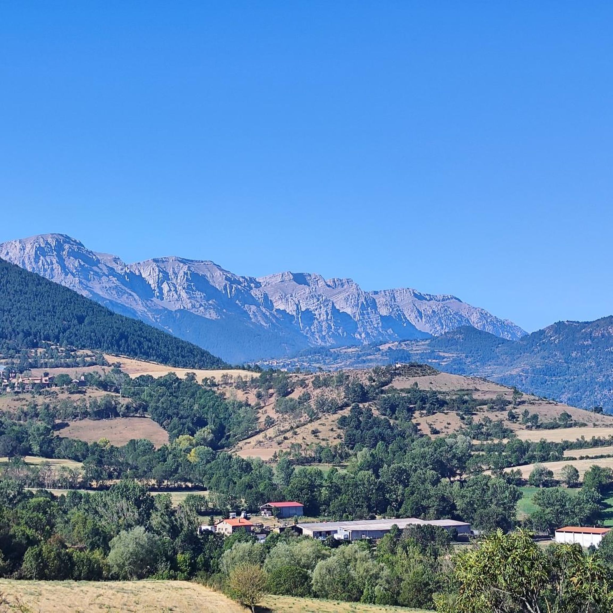
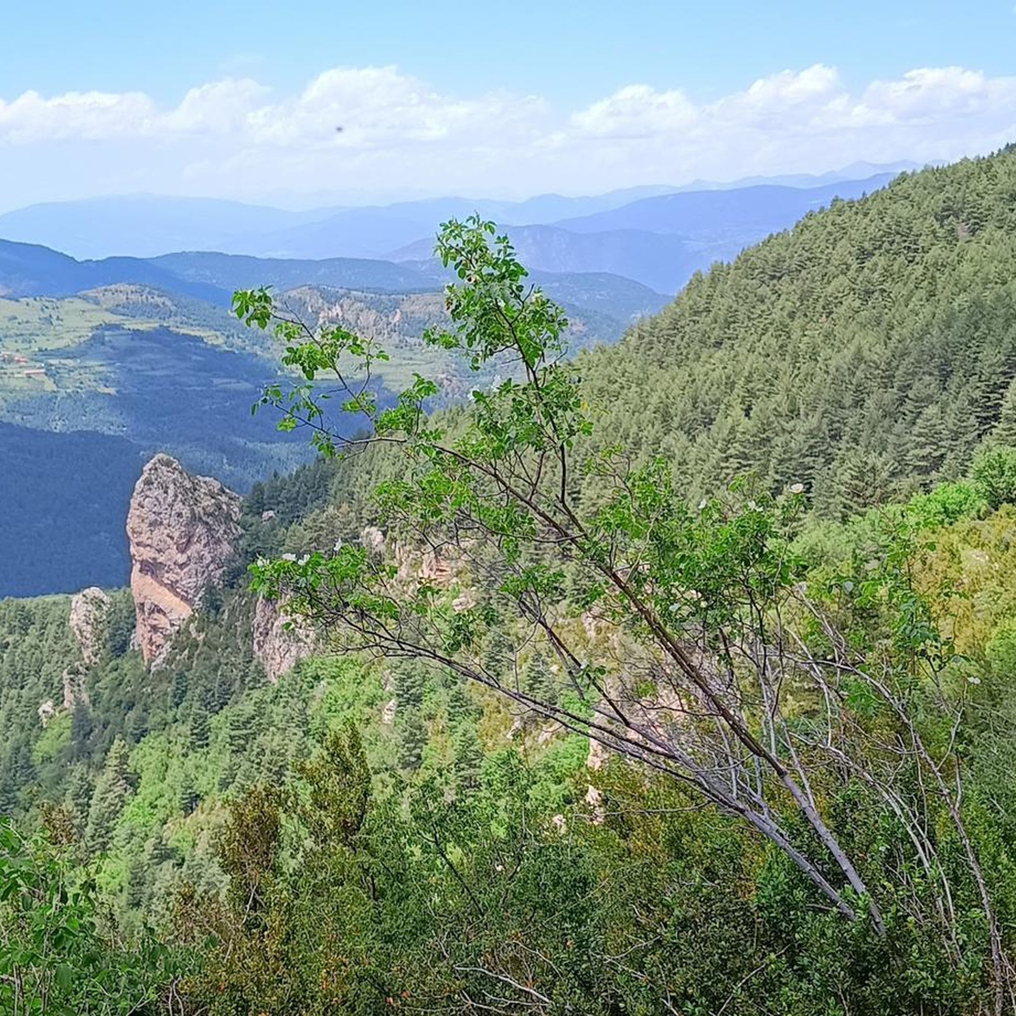
Touring cycling routes around Montellà i Martinet traverse a varied landscape, extending from the Segre River valley to the northern slopes of the Sierra del Cadí. The region is characterized by mountainous terrain within the Cadí-Moixeró Natural Park, featuring limestone cliffs and prominent peaks. Valleys and forests with pine, fir, and oak trees provide diverse scenery for cyclists.
Best touring cycling routes around Montellà I Martinet
- The most popular touring cycling route is Cap del Ginebrar Viewpoint – Col de…
Last updated: August 22, 2026
5.0
(1)
58
riders
60.4km
05:12
1,620m
1,620m
Hard bike ride. Very good fitness required. You may need to push your bike for some segments of this route.
36
riders
30.6km
02:15
700m
710m
Hard bike ride. Very good fitness required. Mostly paved surfaces. Suitable for all skill levels.

Sign up for free
5.0
(1)
27
riders
27.6km
02:05
600m
600m
Hard bike ride. Very good fitness required. Mostly paved surfaces. Suitable for all skill levels.
5.0
(1)
16
riders
Moderate bike ride. Good fitness required. Mostly paved surfaces. Suitable for all skill levels.
5.0
(1)
23
riders
34.4km
02:46
1,010m
1,010m
Hard bike ride. Very good fitness required. Mostly paved surfaces. Suitable for all skill levels.
Get access to more routes and recommendations from other explorers.
Sign up for free
Already have an account?
Our route recommendations are based on thousands of hikes, rides, and runs completed by other people on komoot.
Start today with a free account
Your next adventure awaits.
Login or Signup
Popular around Montellà I Martinet
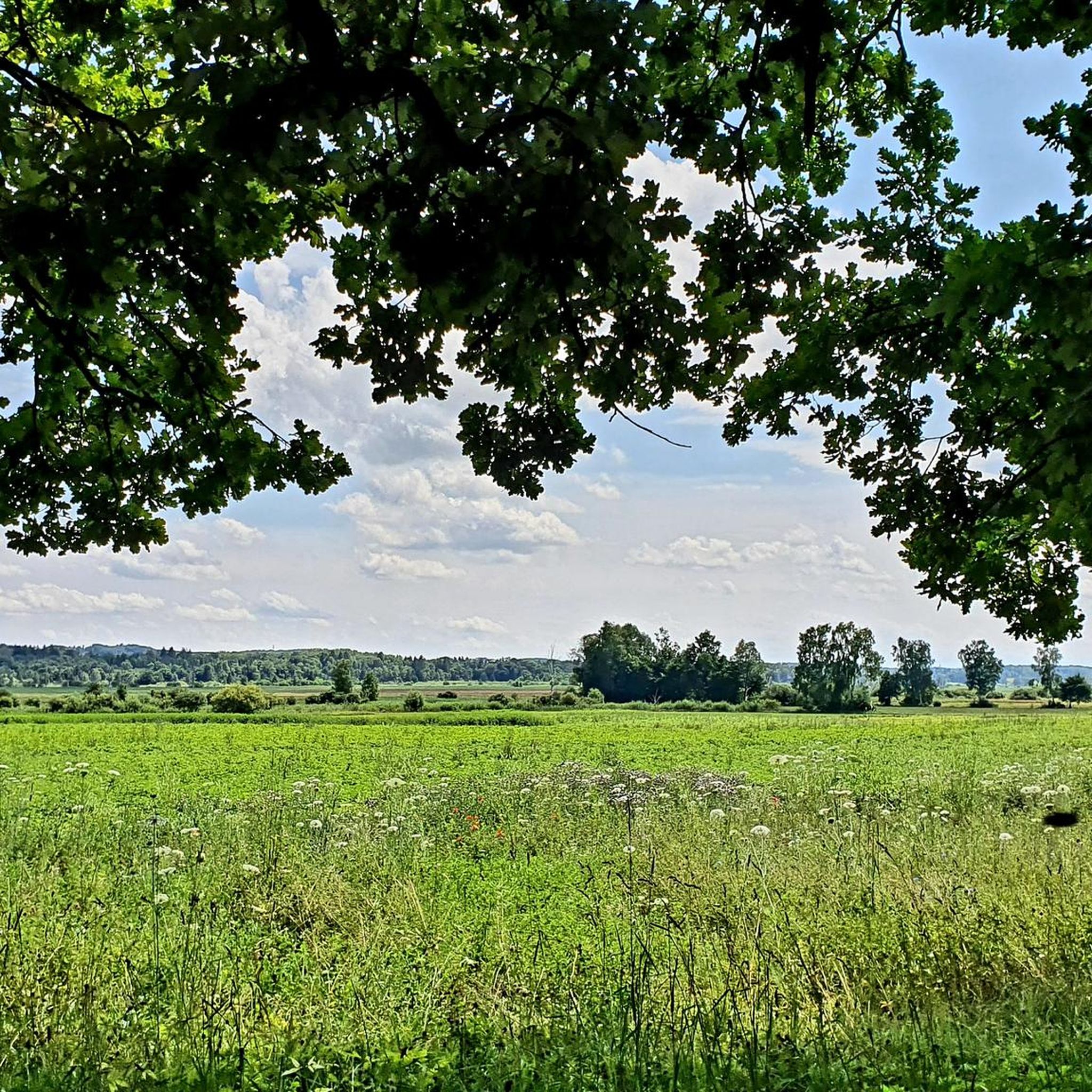
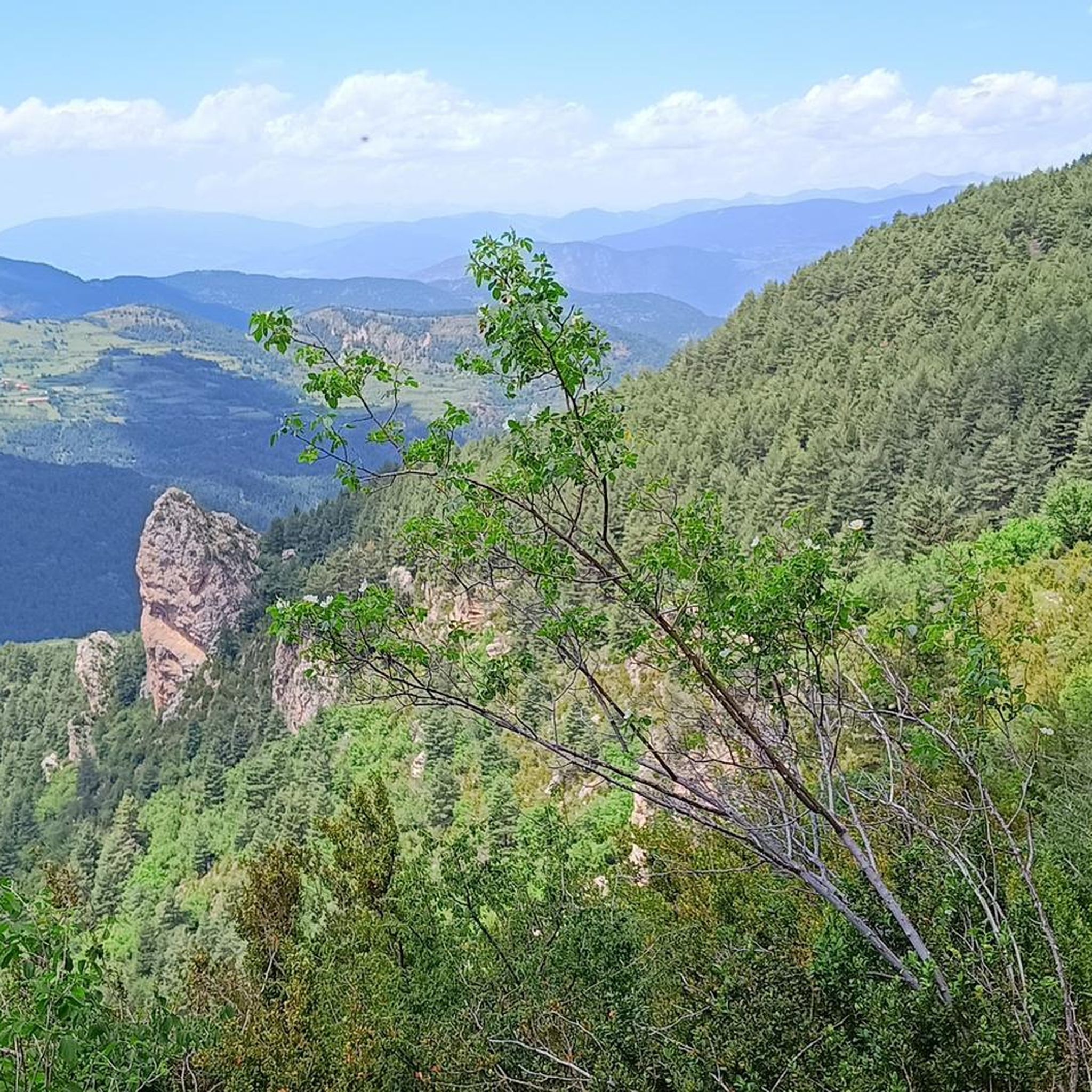

Other adventures around Montellà I Martinet

Tips from the Community

The ascent from Martinet to Cap del Rec is a real challenge: a route of only 16.5 km that accumulates almost 1,000 meters of positive elevation gain!
0
0

A free mountain refuge nestled among black pine forests and high meadows, with sweeping views of the Segre Valley. It's a peaceful spot, ideal for sheltering from the wind or taking a break on routes that connect to Cap del Rec or Tossa Plana. The surroundings retain the pure silence of the upper Cerdanya region. By mountain bike, the final approach is via a stony track with a slight incline; it's advisable to lower the saddle and maintain control on the subsequent descent, as ruts and loose stones can be treacherous if you're riding too fast.
0
0
Located at an altitude of 1,960 meters, this refuge is a key point for cyclists and hikers heading towards the Tossa Plana de Lles or the Nordic ski slopes. The refuge combines a mountain atmosphere with comfortable amenities: a bar, a dining room, and a terrace with open views of the Cadí mountain range. It's a good place to stop, have a hot meal, or adjust your bike before continuing the climb. For mountain biking, the track from Lles has an uneven surface and rocky sections; tires with good grip are recommended, as is maintaining a constant cadence, especially on the final bends where the gradient is noticeable.
0
0
Font de Viliella (Lles de Cerdanya). A small hidden gem in the heart of the village, under a stone porch with a tiled roof, so typical of the Cerdanya region. Fresh water flows between ancient walls, with a half-erased inscription that hints at its history. Ideal for filling your water bottle and taking a breath of fresh air before continuing your ride up the slopes of the Pyrenees. If you're on a mountain bike, be careful on the uphill section from Prullans: it's short but steep and has loose stones; it's best to take it easy and at a leisurely pace, as the spring deserves to be enjoyed when you arrive with plenty of breath.
0
0

This small, high-altitude village, truly charming with its little squares, is located in the autonomous community of Catalonia, province of Lleida, in the comarca of Baja Cerdanya.
0
0

Small interior square, A place for social gatherings, etc.
1
0

Together with Puigcerdà (capital of the Cerdanya region), Alp and Martinet de Cerdaña, it is one of the 4 large towns in the Cerdaña region. It is an urban center with all kinds of services and shops and very pleasant to walk quietly (although steep in its historic center). In my opinion, it is a good place to set up a base camp for routes through Cerdanya and the Catalan Pre-Pyrenees; I do not recommend it as a base camp if you want to go to France or even Andorra since there would be better alternatives for it.
2
0
One of the essential climbs in Cerdaña. It is hard, long and beautiful. The views of Cadí, the valley and the mountains are spectacular from Travesseres. It is a MUST without a doubt!! There are 2 alternatives to get there, mainly 2: from Martinet, it is the most direct climb; from Prullans, along a quieter road with some rest sections
0
0
Frequently Asked Questions
How many touring cycling routes are available around Montellà i Martinet?
Montellà i Martinet offers a wide selection of touring cycling routes, with over 70 options to explore. These routes cater to various skill levels, including 5 easy, 18 moderate, and 48 difficult trails, ensuring there's something for every cyclist.
What kind of landscapes can I expect to see while cycling in Montellà i Martinet?
Cycling around Montellà i Martinet provides a diverse range of landscapes. You'll traverse the picturesque Segre River valley, ascend into the mountainous terrain of the Cadí-Moixeró Natural Park with its impressive limestone cliffs, and pass through extensive forests of pine, fir, and oak trees. Elevated villages like Montellà also offer expansive views of the Cadí, Moixeró, and Puigmal mountain ranges.
Are there any family-friendly cycling routes in the Montellà i Martinet area?
Yes, the Cerdanya valley, which includes Martinet, features easy, family-friendly bike routes with gentle slopes. These routes often combine trails and tracks, providing an enjoyable and diverse experience for all ages. While specific family-friendly routes are not detailed in the top picks, the region's overall offerings include easier options suitable for families.
What are some notable landmarks or attractions I can visit along the cycling routes?
Beyond the natural beauty, you can encounter several points of interest. The area is dotted with traditional mountain villages and historical churches like Sant Martí de Víllec and Sant Genís de Montellà. For a historical perspective, the Martinet Bunkers Park offers a museum tour. You can also find various mountain passes and refuges, such as Gosolans Pass and Prat d'Aguiló Refuge, which are popular stops for cyclists.
What is the best time of year to go touring cycling in Montellà i Martinet?
Montellà i Martinet is ideal for touring cycling due to its varied terrain and scenic routes. While specific seasonal recommendations are not provided, the region's mountainous nature suggests that spring and autumn offer pleasant temperatures and vibrant scenery. Summer can also be excellent, especially at higher altitudes, though some valley routes might be warmer.
Are there any circular cycling routes around Montellà i Martinet?
Yes, many routes in the region are designed as loops, allowing you to start and finish in the same location. An example is the challenging Cap del Ginebrar Viewpoint – Col de la Creueta loop from Bellver de Cerdanya, which offers significant elevation gains and panoramic views. Another option is the Bar Sirvent – Santa Eugenia de Nerella loop from Martinet, which takes you through valleys and traditional villages.
What do other touring cyclists enjoy most about cycling in Montellà i Martinet?
The touring cycling routes around Montellà i Martinet are highly rated by the komoot community, with an average score of 4.7 stars from over 10 reviews. Cyclists often praise the region's diverse terrain, from gentle valley rides to challenging mountain ascents, and the breathtaking views of the Pyrenees and the Cerdanya valley. The opportunity to explore the Cadí-Moixeró Natural Park and its quiet mountain roads is also a significant draw.
Can I find routes that offer significant elevation gain for a challenging ride?
Absolutely. Montellà i Martinet is known for its challenging road cycling routes within the Cadí-Moixeró Natural Park, featuring significant elevation gains. For instance, the Cortals de l'Ingla Refuge – Bellver de Cerdanya loop from Bellver de Cerdanya is a difficult path exploring mountainous terrain with substantial climbs.
Are there any routes that follow the Segre River?
Yes, the Segre River plays a significant role in the region's geography, and you can find routes that follow its course. The municipality sits on the right bank of the river, which carves through the valley, offering pleasant riverside cycling opportunities. The Cycling Path – Camí del Segre loop from Bellver de Cerdanya is an example of a route that incorporates the river's beauty.
Are there options for moderate touring cycling routes?
Yes, among the over 70 routes available, 18 are classified as moderate, offering a good balance between challenge and accessibility. An example of a moderate route is the Cycling Path – Cami de Bolvir to Puigcerda loop from Bellver de Cerdanya, which provides a scenic ride without the extreme demands of the most difficult ascents.
Is it possible to find cafes or accommodation along the cycling routes?
While specific cafes and accommodation along every route are not detailed, the region's traditional mountain villages and proximity to larger municipalities like Bellver de Cerdanya mean that amenities are available. Many routes pass through or near these villages, offering opportunities for refreshments and overnight stays. The area is generally cycling-friendly, and you can expect to find services catering to visitors.
What are the typical distances and durations for touring cycling routes in this area?
The routes vary significantly in length and duration. For example, a challenging route like the Cap del Ginebrar Viewpoint – Col de la Creueta loop from Bellver de Cerdanya covers about 76.5 km (47.5 miles) and can take around 5 hours 25 minutes. Shorter routes, such as the Bar Sirvent – Santa Eugenia de Nerella loop from Martinet, are about 27.3 km (17.0 miles) and can be completed in approximately 2 hours 4 minutes.
Most popular routes around Montellà I Martinet
Most popular attractions around Montellà I Martinet

Get inspired with the komoot mobile app


Explore more
Browse the best Cycling routes in other regions.
