The best road cycling routes around Beratón
5.0
(1)
99
riders
8
rides
Road cycling routes around Beratón are characterized by a mountainous setting and high elevation, situated on the slopes of the Moncayo Massif. The region features significant climbs and descents, offering panoramic views across the landscape. This terrain provides a challenging backdrop for road cyclists seeking routes with considerable elevation gain. The area's natural features, including the Moncayo, contribute to diverse and scenic routes.
Best road cycling routes around Beratón
- The most popular road cycling route is Aranda Comarca Loop,…
Last updated: June 29, 2026
17
riders
81.2km
03:53
1,120m
1,120m
Hard road ride. Very good fitness required. Mostly well-paved surfaces and easy to ride.
60.6km
02:56
810m
820m
Moderate road ride. Good fitness required. Mostly well-paved surfaces and easy to ride.

Sign up for free
5.0
(1)
43
riders
76.6km
04:22
1,270m
1,270m
Hard road ride. Very good fitness required. Some segments of this route may be unpaved and difficult to ride.
9
riders
50.0km
02:29
770m
770m
Moderate road ride. Good fitness required. Mostly well-paved surfaces and easy to ride.
9
riders
121km
06:05
1,480m
1,480m
Hard road ride. Very good fitness required. Some segments of this route may be unpaved and difficult to ride.
Get access to more routes and recommendations from other explorers.
Sign up for free
Already have an account?
Our route recommendations are based on thousands of hikes, rides, and runs completed by other people on komoot.
Start today with a free account
Your next adventure awaits.
Login or Signup

Tips from the Community

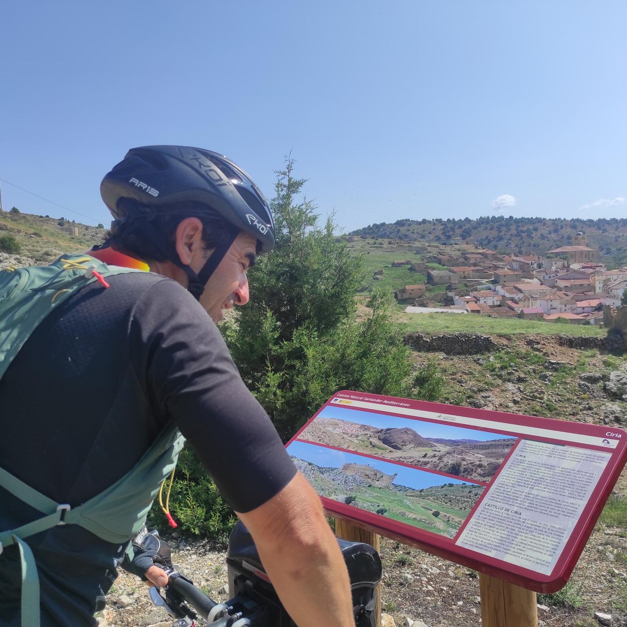
Small castle on top of the village
0
0

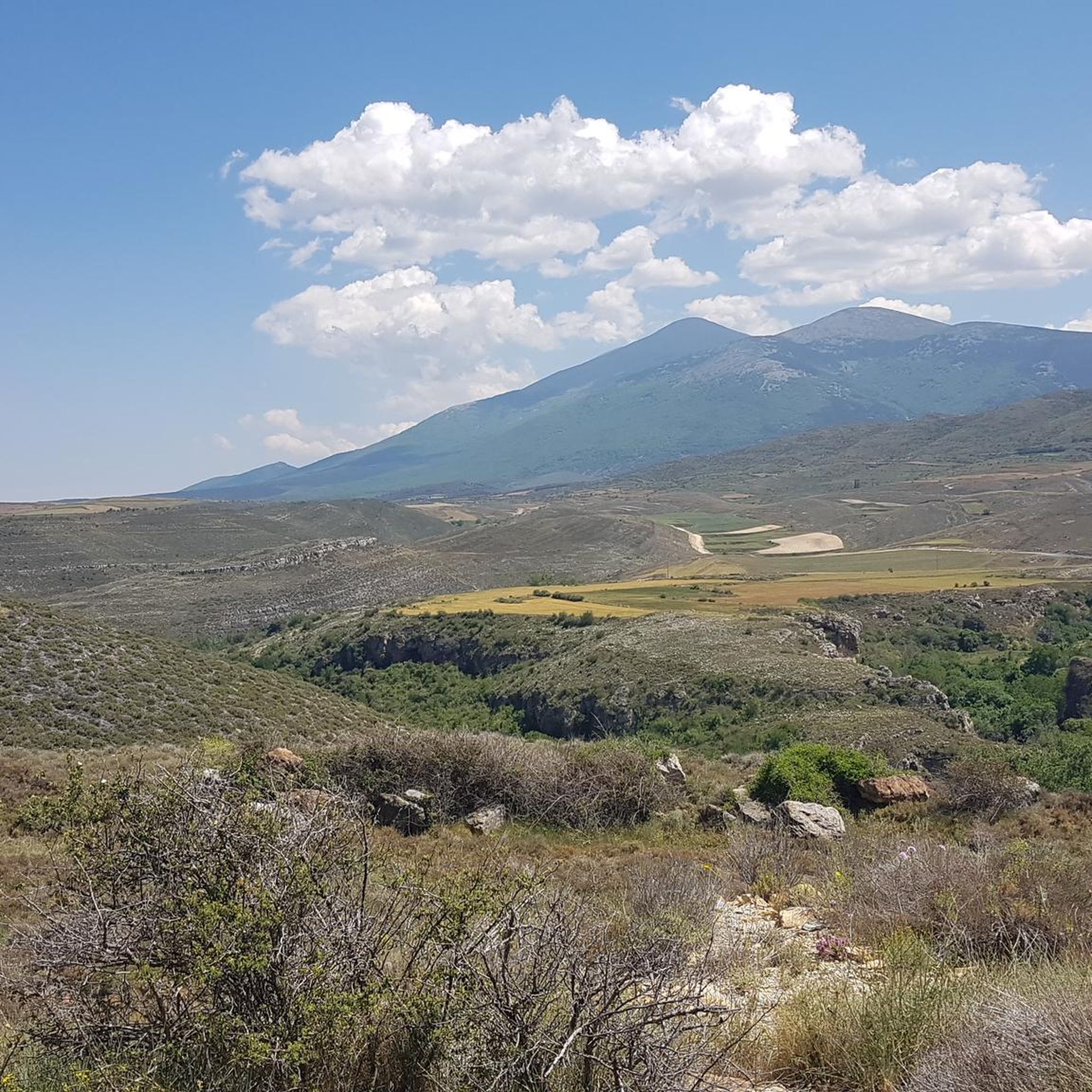
Spectacular views towards Añón de Moncayo and in the background, Moncayo.
0
0
Talamantes is a fantastic starting point for exploring the Moncayo region, with trails that blend forest, mountains, and ravines. Paths like the one leading to the Valdetreviño ravine start right from the village, perfect for walks with great views and no crowds. Plus, it's small and peaceful, ideal for stopping, having a bite to eat, and recharging after your hike.
1
0
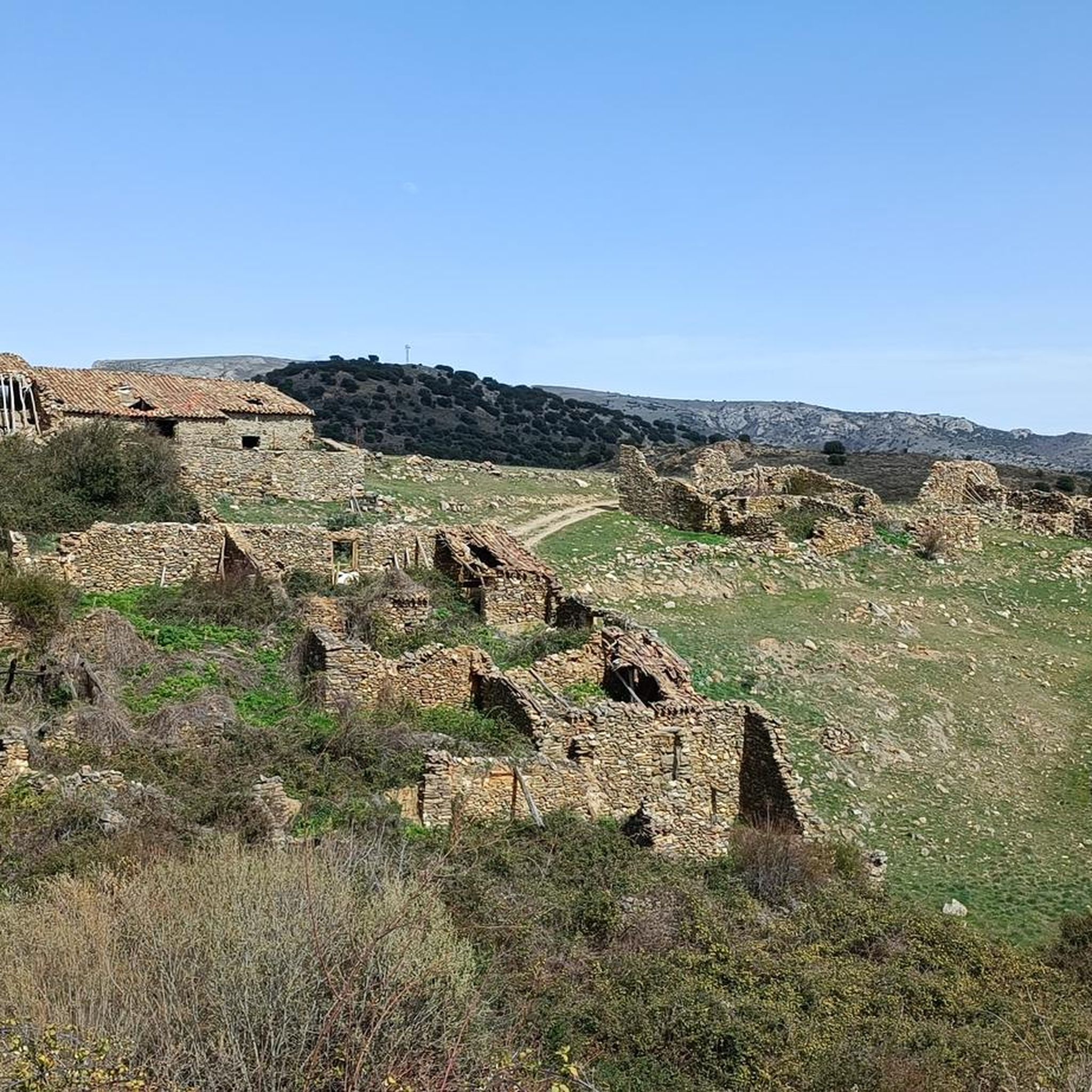
Añón de Moncayo retains a medieval atmosphere in its streets and buildings, where the influence of the Order of St. John of Jerusalem is still evident. Construction of the castle began in 1238, during the reign of James I of Aragon, to protect the area, as the town was strategically located between kingdoms.
0
0
This small town of fewer than 300 inhabitants boasts a mycology center. It is also home to the Church of San Martín de Tours, a neo-Romanesque church with colonial American art.
0
0

Stork's nest on the disused railway line
0
0

Good port; the beautiful landscape brings you
0
0

The Peñas del Cabo Caves are located on the western cliffs of the Peñas del Cabo, near Calcena, in the province of Zaragoza, Aragon. These caves are known for their impressive geological structure and speleothems, such as stalactites, stalagmites and flowstones. One of the most popular caves is the Cueva Honda, which has been used as a shelter for livestock and has housed archaeological remains from the Neolithic period. In addition, the cave is an important refuge for bat colonies during the summer. The caves offer a unique experience for caving and nature lovers.😊
4
0
Frequently Asked Questions
What kind of terrain can I expect on road cycling routes around Beratón?
Road cycling routes in Beratón are primarily characterized by a mountainous setting and high elevation, situated on the slopes of the Moncayo Massif. You can expect significant climbs and descents, offering panoramic views across the landscape. This terrain provides a challenging backdrop for cyclists seeking considerable elevation gain.
How many road cycling routes are available in the Beratón area?
There are 7 road cycling routes documented around Beratón, offering a range of experiences for cyclists. These routes are highly rated by the komoot community, with an average score of 5.0 stars.
Are there challenging road cycling routes in Beratón?
Yes, Beratón is known for its challenging road cycling. Out of the 7 routes, 4 are classified as difficult, featuring substantial elevation gains and demanding terrain. An example is the Bar de Moncayo – Castillo de Vozmediano loop from Parking Peña Roya, which covers 75.5 miles (121.5 km) with over 1480 meters of ascent.
Are there any moderate road cycling options around Beratón?
Yes, there are moderate options available. For instance, the Borobia, Ciria and Malanquilla Loop is a 37.6 miles (60.6 km) trail with over 800 meters of elevation gain, offering a balanced challenge through varied landscapes.
What are some notable landmarks or scenic viewpoints along the cycling routes?
The region offers impressive panoramic views, especially from spots like the Cruz de Canto viewpoint. Along the routes, you might encounter natural features such as the Moncayo Massif itself. Specific highlights include the View of Moncayo and the Cabezo de la Mata viewpoint.
What is the best time of year to go road cycling in Beratón?
Given Beratón's high-altitude location on the slopes of the Moncayo mountain, the warmer months, typically late spring to early autumn, would offer the most favorable conditions for road cycling. During these periods, you can best enjoy the scenic vistas without the challenges of winter weather.
Are there any circular road cycling routes in Beratón?
Yes, many of the routes around Beratón are designed as loops. For example, the Aranda Comarca Loop is a popular circular route covering 50.5 miles (81.2 km) with significant climbs and expansive views.
What amenities are available in Beratón for cyclists?
Beratón, though a small village, is accustomed to accommodating outdoor enthusiasts. It offers an albergue (hostel) for overnight stays, and you can find a bar and restaurant in the village to refuel after your rides.
Is there parking available for road cyclists in Beratón?
While general parking is available in the village, some routes specifically mention starting points with dedicated parking. For instance, the Bar de Moncayo – Castle of Talamantes loop starts from Parking Peña Roya, indicating convenient access for cyclists arriving by car.
What do other road cyclists say about the routes in Beratón?
The road cycling routes in Beratón are highly regarded by the komoot community, holding an average rating of 5.0 stars. Over 100 road cyclists have used komoot to explore the area, often praising the challenging terrain and the stunning, expansive views of the Moncayo region.
Are there any family-friendly or easy road cycling routes in Beratón?
Due to Beratón's mountainous setting and high elevation, most road cycling routes are classified as moderate to difficult, featuring significant climbs and descents. There are currently no routes specifically categorized as easy, making it less ideal for very young children or absolute beginners seeking flat, gentle rides.
What are the typical distances and elevations for road cycling routes here?
The road cycling routes around Beratón vary in length and elevation. Distances typically range from around 30 miles (50 km) to over 75 miles (120 km). Elevation gains are substantial, often ranging from 800 meters to over 1400 meters per route, reflecting the challenging mountainous terrain.
Most popular attractions around Beratón

Get inspired with the komoot mobile app


Explore more
Browse the best Road cycling routes in other regions.
