The best road cycling routes around Romangordo
5.0
(1)
167
riders
13
rides
Road cycling routes around Romangordo traverse a landscape characterized by hilly terrain, mountain passes, and the presence of the Valdecañas Reservoir. The region features varied elevations, with routes often including significant climbs and descents through areas like the Sierra de Miravete. This environment provides a challenging setting for road cyclists.
Best road cycling routes around Romangordo
- The most popular road cycling route is Almaraz to Puerto de Campillo — circular via Puerto de Miravete and Deleitosa, a 40.2 miles…
Last updated: July 2, 2026
10
riders
64.7km
04:00
1,220m
1,220m
Hard road ride. Very good fitness required. Mostly well-paved surfaces and easy to ride.
5.0
(1)
5
riders
46.5km
02:38
720m
720m
This 28.9-mile (46.5 km) moderate road cycling route from Puerto de Miravete to Higuera de Albalat offers challenging climbs and scenic Extr

Sign up for free
1
riders
77.6km
04:27
1,320m
1,320m
Hard road ride. Very good fitness required. Mostly well-paved surfaces and easy to ride.
71.9km
04:14
1,360m
1,360m
This difficult 44.6-mile (71.9 km) road cycling route around the Valdecañas Reservoir offers challenging climbs and scenic views.
Moderate road ride. Good fitness required. Mostly well-paved surfaces and easy to ride.
Get access to more routes and recommendations from other explorers.
Sign up for free
Already have an account?
Our route recommendations are based on thousands of hikes, rides, and runs completed by other people on komoot.
Start today with a free account
Your next adventure awaits.
Login or Signup
Popular around Romangordo
Tips from the Community

At the southeastern end of the Monfragüe National Park is the town of Deleitosa, surrounded by oak and chestnut forests. Stop by the center of town to rest, eat something and admire the church of San Juan Evangelista.
1
0
Nice climb to Puerto de Campillo, 2.75 km coming from the south side, it is not too long. The views from the top at 700 meters above sea level are gratifying. Prepare for the descent towards Campillo de Deleitosa.
1
0
At the foot of the Sierra de la Caldilla, is the small historic town of Higuera. Stop by the charming San Sebastián church if you need to rest and grab a bite to eat.
0
0
Cycle to the Miravete mountain pass. From this point you can see the ruins of the Zúñigas fortification from the 16th century. Today, eclipsed by communication antennas.
0
0
The climb from Puente Campillo to Alto de las Mesas is a stretch of 4.74 kilometers with an average slope of 5.1%. Enjoy the view of the surrounding landscape.
1
0

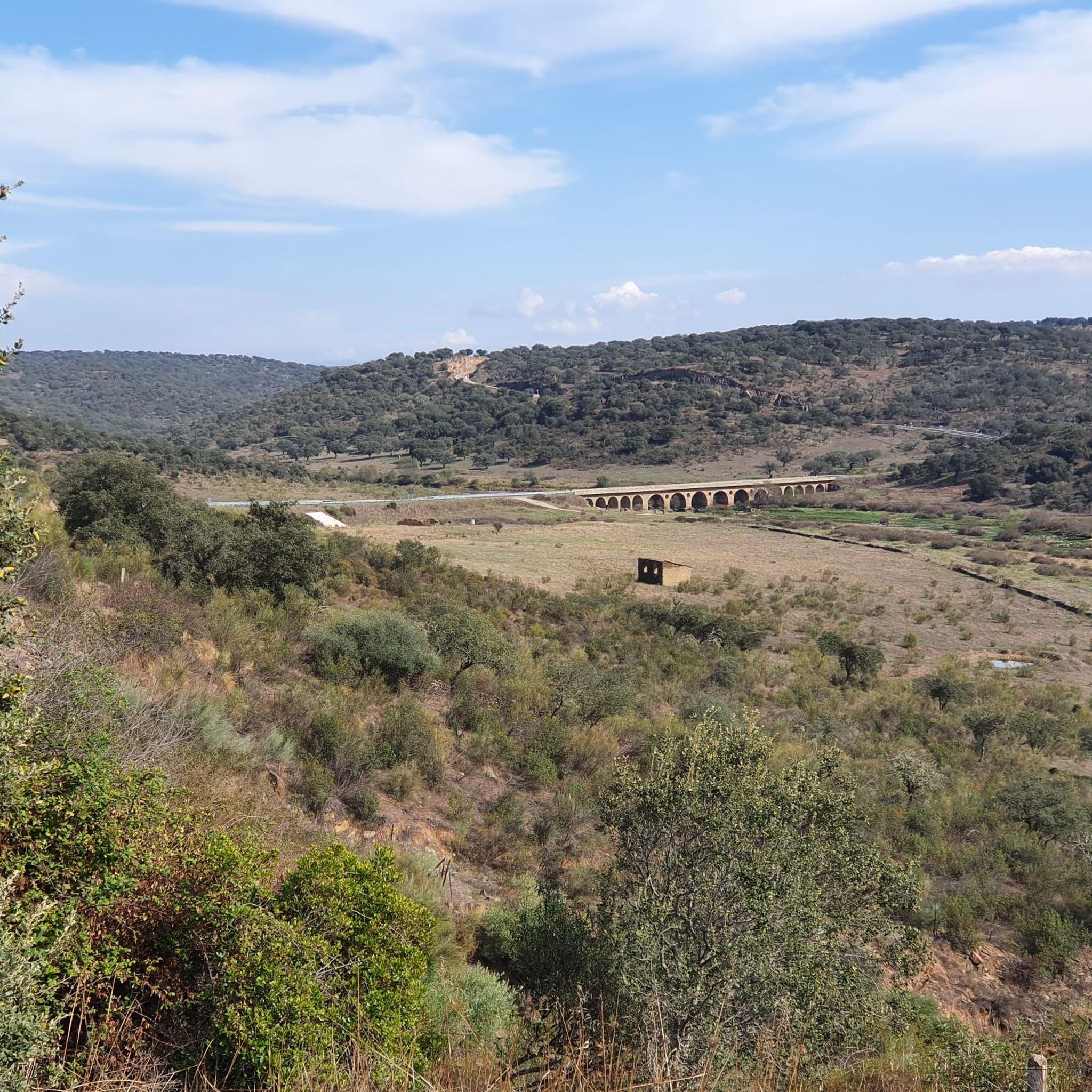
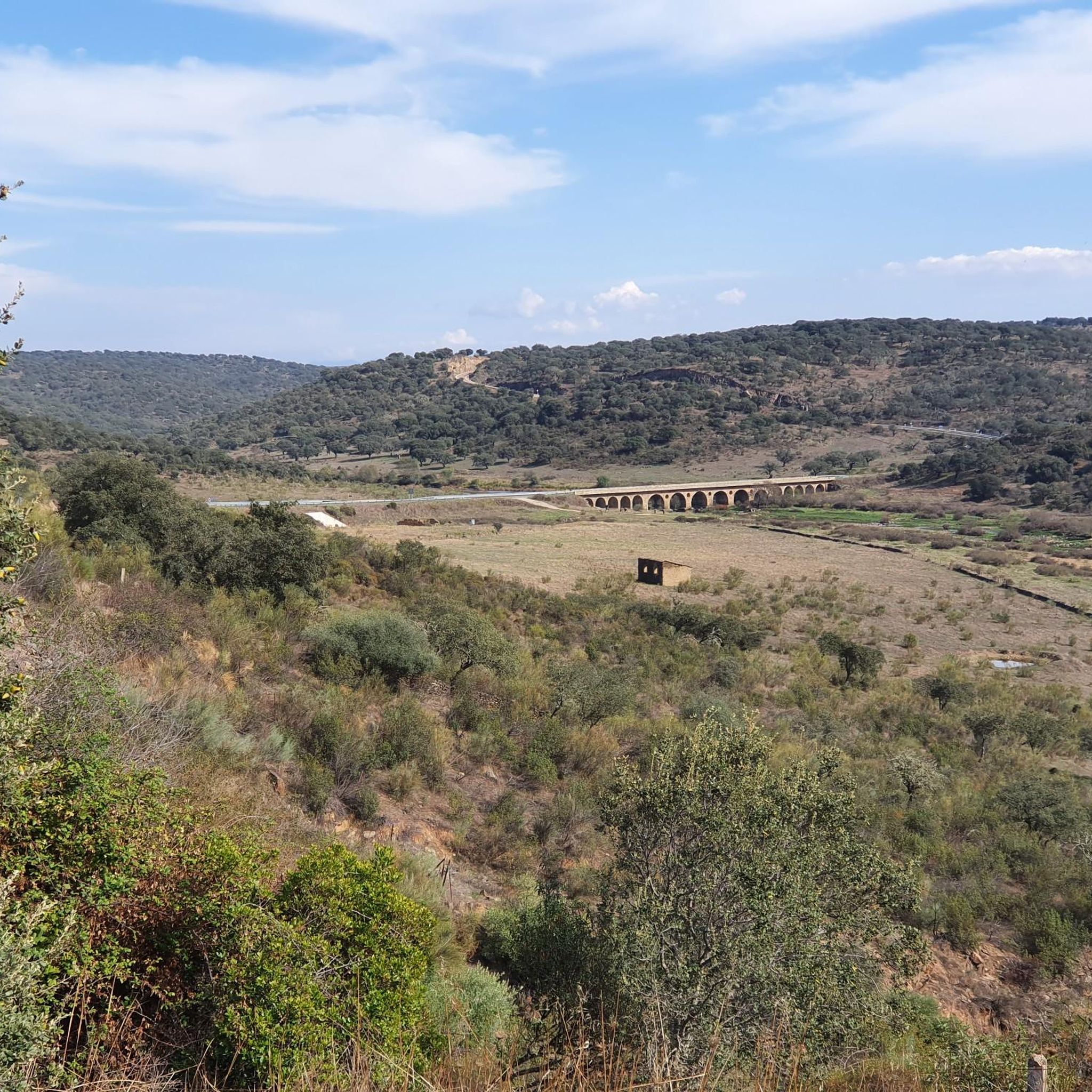
Both the views of the bridge over the river and the panoramic view you have of the Tagus when you cross it, from the siding, justify a stop on your route.
0
1
A bridge over the Tagus River along the famous Camino Real de Extremadura route between Madrid and Portugal. Stop for stunning views of the river valley below.
1
0
Almaraz is located near the Tagus River and the Almaraz reservoir. The Iglesia San Andrés dominates the horizon and together with the medieval Castle of Almaraz they represent the rich heritage of Alamaraz. Today, Almaraz is best known for its nuclear power plant.
0
0
Frequently Asked Questions
What kind of terrain can I expect on road cycling routes around Romangordo?
Road cycling routes around Romangordo are characterized by hilly terrain, significant climbs, and descents, especially through areas like the Sierra de Miravete. You'll also encounter views of the Valdecañas Reservoir, providing a challenging and varied landscape for cyclists.
Are there any challenging road cycling routes in Romangordo for experienced riders?
Yes, Romangordo offers several challenging routes. For instance, the Almaraz to Puerto de Campillo — circular via Puerto de Miravete and Deleitosa is a difficult 40.2-mile (65.0 km) trail with significant elevation gain through mountain passes. Another demanding option is the Deleitosa from Puerto de Miravete — circular by Higuera de Albalat, a 48.2-mile (77.6 km) route also featuring mountain passes.
Are there any moderate road cycling routes suitable for intermediate cyclists?
Absolutely. The Sierra de Miravete Loop is a popular moderate 28.9-mile (46.5 km) path that circles the Sierra de Miravete, offering varied terrain and climbs without being overly strenuous. Another moderate option is the Higuera de Albalat to Campillo de Deleitosa — circular via the Puerto de Campillo, which is 35.5 miles (57.2 km) long.
What are the typical lengths and durations of road cycling routes in the Romangordo area?
Routes vary significantly in length and duration. You can find routes ranging from moderate 28.9-mile (46.5 km) loops like the Sierra de Miravete Loop, which takes about 2 hours 38 minutes, to more challenging 48.2-mile (77.6 km) trails such as Deleitosa from Puerto de Miravete — circular by Higuera de Albalat, often completed in about 4 hours 27 minutes.
Are there any circular road cycling routes around Romangordo?
Yes, many of the routes in the Romangordo area are circular, allowing you to start and end in the same location. Examples include the Sierra de Miravete Loop and the Valdecañas Reservoir Loop from Almaraz via Puerto de Campillo, which offers a 44.6-mile (71.9 km) ride.
What kind of attractions or scenic stops can I find along the road cycling routes?
The region offers several interesting sights. You might encounter historical landmarks like the Granite Pillar of Almaraz or the Castle of Belvís de Monroy. The Almaraz Bridge over the Tagus River is another notable point, and the Picazo Reservoir provides scenic water views.
What do other road cyclists say about the routes in Romangordo?
The routes in Romangordo are highly rated by the komoot community, with an average score of 5.0 stars from 1 review. Cyclists often praise the varied terrain, the challenge of the mountain passes, and the scenic views, especially around the Valdecañas Reservoir.
When is the best season for road cycling in Romangordo?
Given the hilly terrain and potential for significant climbs, spring and autumn are generally the most pleasant seasons for road cycling in Romangordo. Temperatures are milder, making long rides more comfortable than during the peak summer heat or cooler winter months.
Are there any routes that offer views of the Valdecañas Reservoir?
Yes, the Valdecañas Reservoir is a prominent feature of the region. The Valdecañas Reservoir Loop from Almaraz via Puerto de Campillo is specifically designed to showcase these views, offering a beautiful backdrop to your ride.
How many road cycling routes are available around Romangordo?
There are over 15 road cycling routes around Romangordo, ranging from moderate to difficult, providing ample options for various skill levels.
What are some notable historical sites or cultural landmarks accessible by road bike?
Beyond the natural beauty, you can cycle past historical sites such as the Parish Church of San Sebastián de Serrejón and the Castle of Belvís de Monroy. These offer interesting stops to explore the local heritage during your ride.
Most popular routes around Romangordo
Most popular attractions around Romangordo

Get inspired with the komoot mobile app


Explore more
Browse the best Road cycling routes in other regions.
