The best running trails around Parco Naturale Regionale del Beigua
4.5
(194)
9,625
runners
268
runs
Jogging around Parco Naturale Regionale del Beigua offers diverse terrain, transitioning from the Ligurian Sea coastline to the Apennine peaks. This UNESCO Global Geopark features unique geological formations, including ancient oceanic lithosphere and landscapes shaped by Ice Age glaciers. The region is characterized by extensive mountain prairies, dense forests of beech, oak, and chestnut, and river valleys, providing varied running experiences. An extensive network of trails, approximately 500 km, traverses these environments.
Best jogging routes around Parco Naturale Regionale del…
Last updated: November 6, 2026
1
runners
9.97km
01:22
300m
300m
Hard run. Very good fitness required. Sure-footedness, sturdy shoes and alpine experience required.
1
runners
5.49km
00:49
120m
120m
Hard run. Good fitness required. Sure-footedness, sturdy shoes and alpine experience required.

5.0
(1)
19
runners
Hard run. Very good fitness required. Sure-footedness, sturdy shoes and alpine experience required.
5.0
(1)
12
runners
8.70km
01:19
300m
300m
Hard run. Good fitness required. Sure-footedness, sturdy shoes and alpine experience required.
9
runners
9.88km
01:30
400m
410m
Hard run. Very good fitness required. Sure-footedness, sturdy shoes and alpine experience required.
Get access to more routes and recommendations from other explorers.
Already have an account?
Our route recommendations are based on thousands of hikes, rides, and runs completed by other people on komoot.
Start today with a free account
Your next adventure awaits.
Popular around Parco Naturale Regionale del Beigua

Tips from the Community

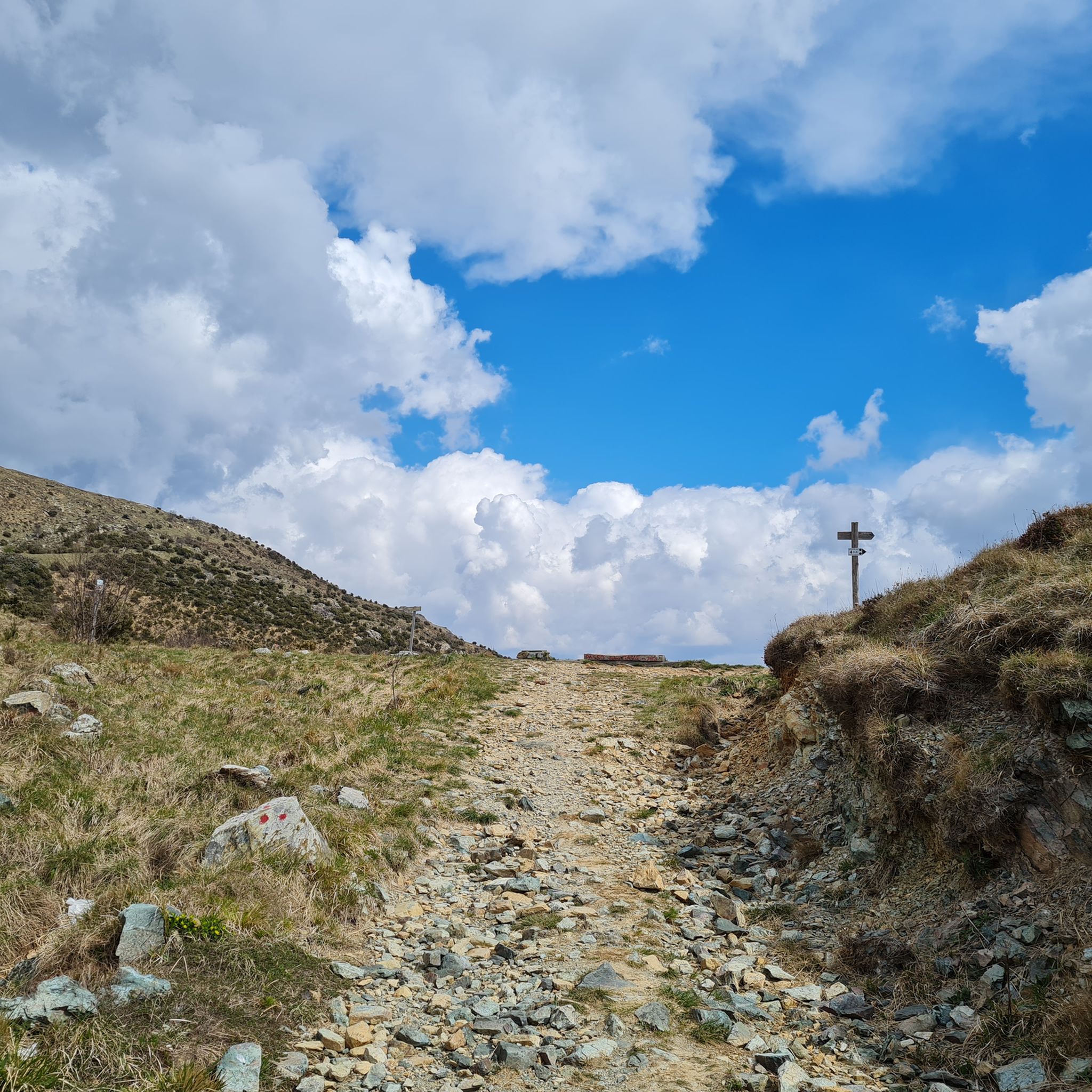
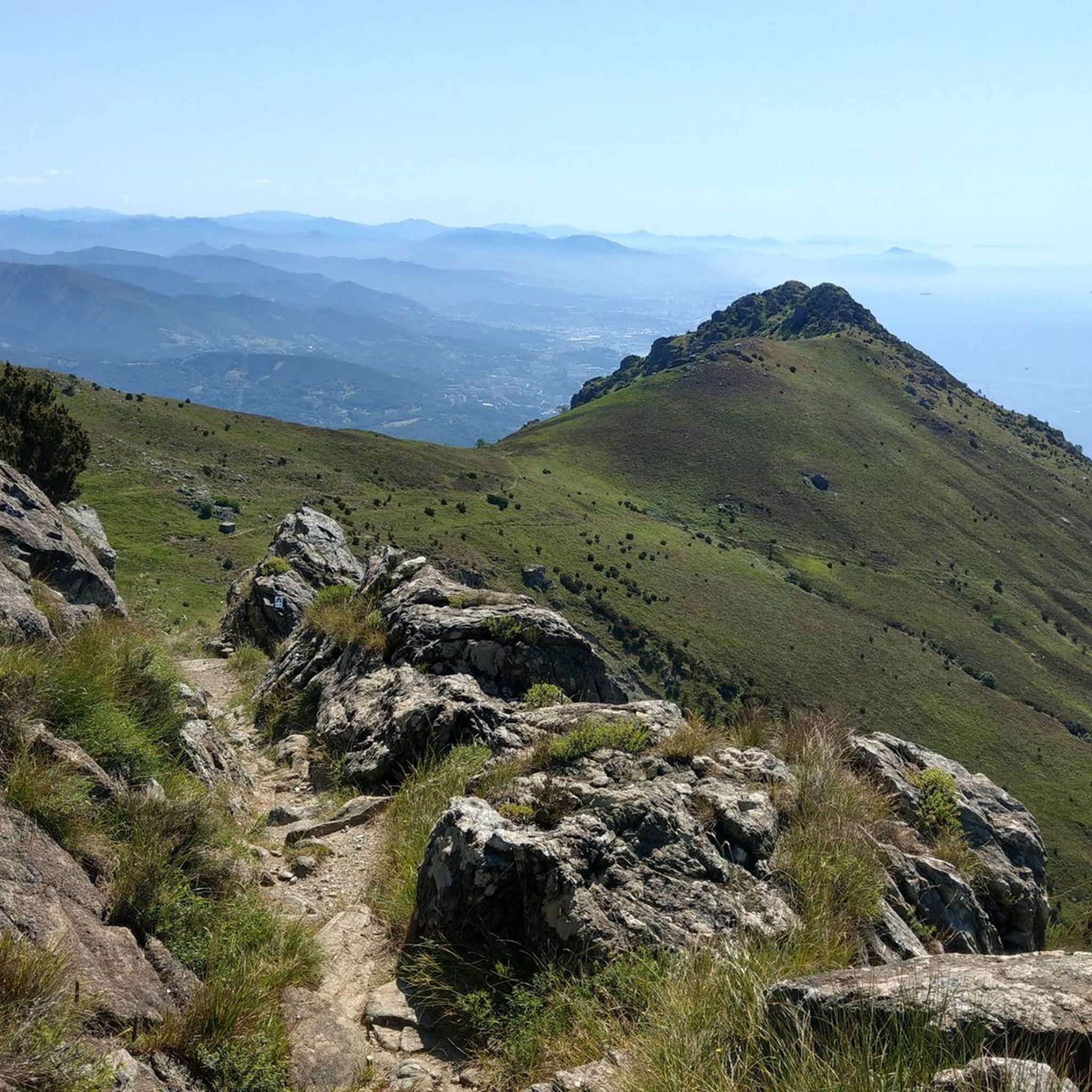
Very easy to walk summit, so definitely include it in your hike. It offers beautiful views on clear days.
0
0

Simple walk, 4 km loop, possibility to walk different paths marked with clear signs
0
0

Beautiful view of Arenzano
0
0

The section of trail that descends from the Argentea Refuge to the Padre Rino shelter is very steep. It's best to opt for a nearby alternative route.
0
0

Very nice and well-maintained rest area.
3
1

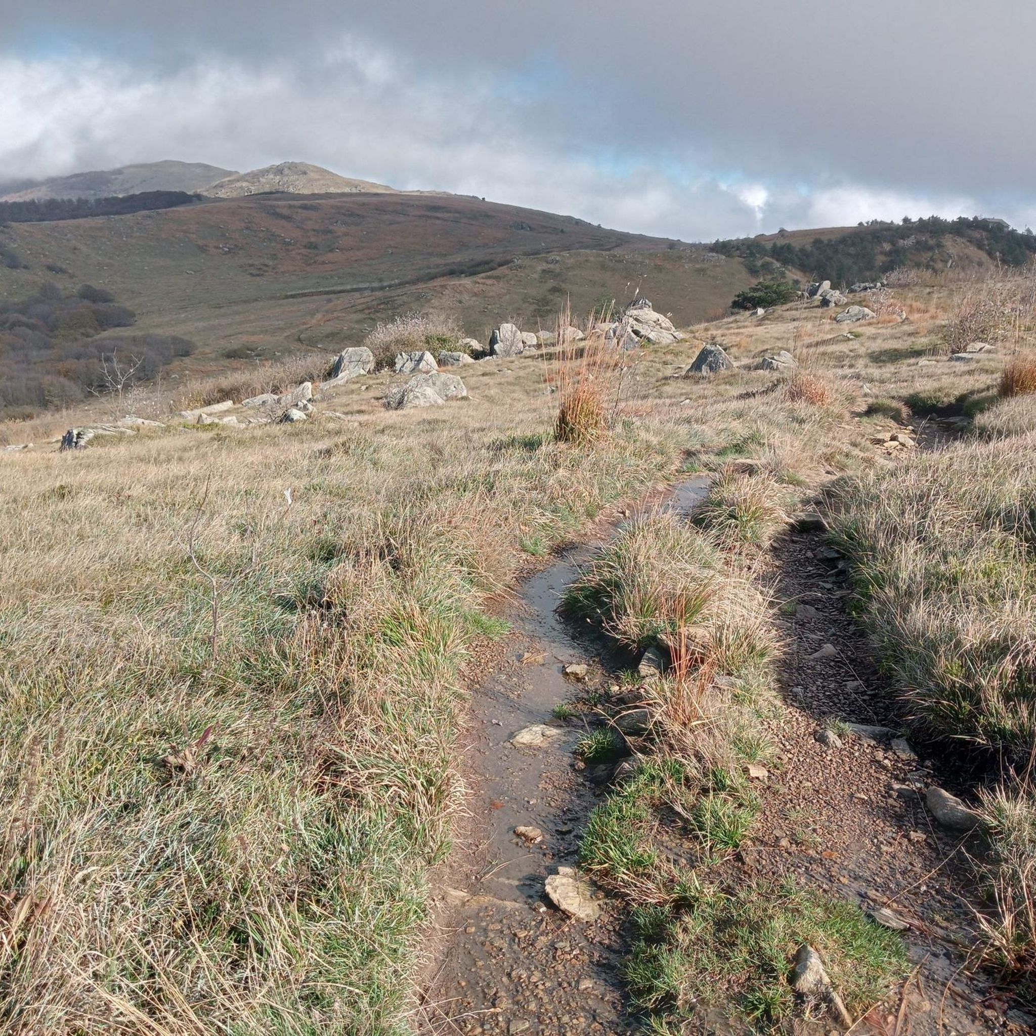
The weather is not the best but the place is very beautiful
0
0
Despite the bad weather the place had a special charm
0
0
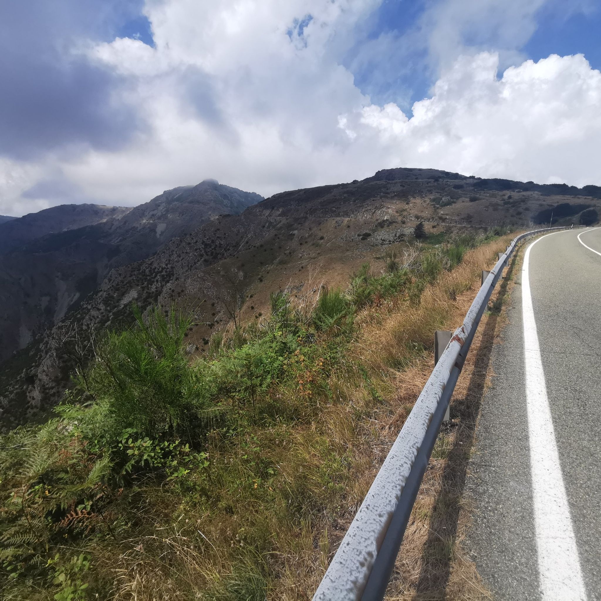
Very nice place and the road to reach it is very panoramic.
0
0
Frequently Asked Questions
How many running routes are available in Parco Naturale Regionale del Beigua?
Parco Naturale Regionale del Beigua offers an extensive network of trails. You'll find over 240 running routes mapped on komoot, catering to various skill levels and preferences. The park itself boasts approximately 500 km of marked trails in total.
What kind of terrain can I expect when running in Parco Naturale Regionale del Beigua?
The park's terrain is incredibly diverse, transitioning dramatically from the Ligurian Sea coastline to the Apennine peaks. Runners will encounter everything from high mountain ridges with expansive views to dense forests of beech, oak, and chestnut, as well as river valleys. The geological features, including ancient oceanic lithosphere and landscapes shaped by Ice Age glaciers, add to the unique running experience.
Are there easy running routes suitable for beginners or families?
Yes, while many routes are challenging, there are options for easier runs. The park features 12 routes classified as easy on komoot. For example, the "Sentiero Castello Bellavista – Lago dei Gulli" is described as a nice, non-technical, and relatively simple panoramic trail. These routes are often suitable for families looking for a more relaxed running experience.
Can I bring my dog on the running trails in Parco Naturale Regionale del Beigua?
Generally, dogs are permitted on trails in Parco Naturale Regionale del Beigua, but it's crucial to keep them on a leash, especially in areas with wildlife or near livestock. Always check specific trail regulations or park signage, as rules can vary. Ensuring your dog is well-behaved and doesn't disturb other users or wildlife is key.
Are there any circular running routes in the park?
Yes, many routes in Parco Naturale Regionale del Beigua are designed as loops, offering a convenient way to explore without retracing your steps. A popular option is the Lago della Tinetta loop from Arenzano, which takes you through forested areas and past the lake. Another challenging loop is the Torbiera del Laione Nature Trail Loop.
What natural features or landmarks can I see while jogging?
As a UNESCO Global Geopark, Parco Naturale Regionale del Beigua is rich in natural wonders. You can encounter unique geological formations, evidence of Ice Age glaciers, and diverse ecosystems. Notable landmarks include the dramatic canyons of Val Gargassa, sometimes called the "Grand Canyon of Liguria." You might also spot various mountain peaks like Monte Beigua or Monte Reixa, offering breathtaking panoramic views of the Ligurian Sea.
What do other runners enjoy the most about jogging in Parco Naturale Regionale del Beigua?
The area is highly rated by the komoot community, with an average score of 4.5 stars from over 120 reviews. Runners often praise the stunning sea-to-mountain panoramas, the diverse and challenging terrain, and the extensive network of well-maintained trails that allow for varied running experiences. The unique geological features and rich biodiversity also contribute to a memorable outdoor adventure.
Are there any running routes that offer views of the sea?
Absolutely! One of the most striking features of Parco Naturale Regionale del Beigua is its dramatic transition from the Ligurian Sea coastline to the Apennine peaks. Many higher ridge trails provide breathtaking panoramic views where you can often observe the coastline and even Corsica on clear days. This unique combination of mountain and sea scenery is a highlight for many runners.
What is the best time of year for trail running in Parco Naturale Regionale del Beigua?
The park offers great running opportunities throughout much of the year. Spring and autumn are particularly pleasant, with milder temperatures and vibrant natural colors. Summer can be warm, especially at lower elevations, so early morning or late afternoon runs are recommended. Winter running is possible, especially on lower trails, but higher elevations may experience snow and require appropriate gear and caution.
Are there any challenging running routes for experienced trail runners?
Yes, Parco Naturale Regionale del Beigua is well-suited for experienced trail runners, with 163 routes classified as difficult on komoot. These routes often feature significant elevation gains and technical terrain. For instance, the Cima di Monte Tardia – Madonna del Monte Lerxo loop from Arenzano involves over 1000 meters of elevation gain, providing a demanding and rewarding experience.
Where can I find parking for the running trails?
Parking is generally available at various access points and trailheads throughout the park. Many routes start near towns or villages that offer designated parking areas. It's advisable to check the specific route details on komoot or local park information for the most convenient parking locations for your chosen trail.
Are there any huts or refuges along the running routes?
Yes, there are huts and refuges within or near the park that can serve as rest stops or points of interest. For example, the Argentea Hut and Rifugio Pratorotondo are notable points. Some longer running routes, like the Pratorotondo Hut – Rifugio Argentea loop from Monte Beigua, even incorporate these into their paths.
Most popular routes around Parco Naturale Regionale del Beigua
Most popular attractions around Parco Naturale Regionale del Beigua

Get inspired with the komoot mobile app


Explore more
Browse the best Running Trails & Routes in other regions.
