The best road cycling routes around Parco naturale regionale di Piana Crixia
4.7
(119)
1,871
riders
96
rides
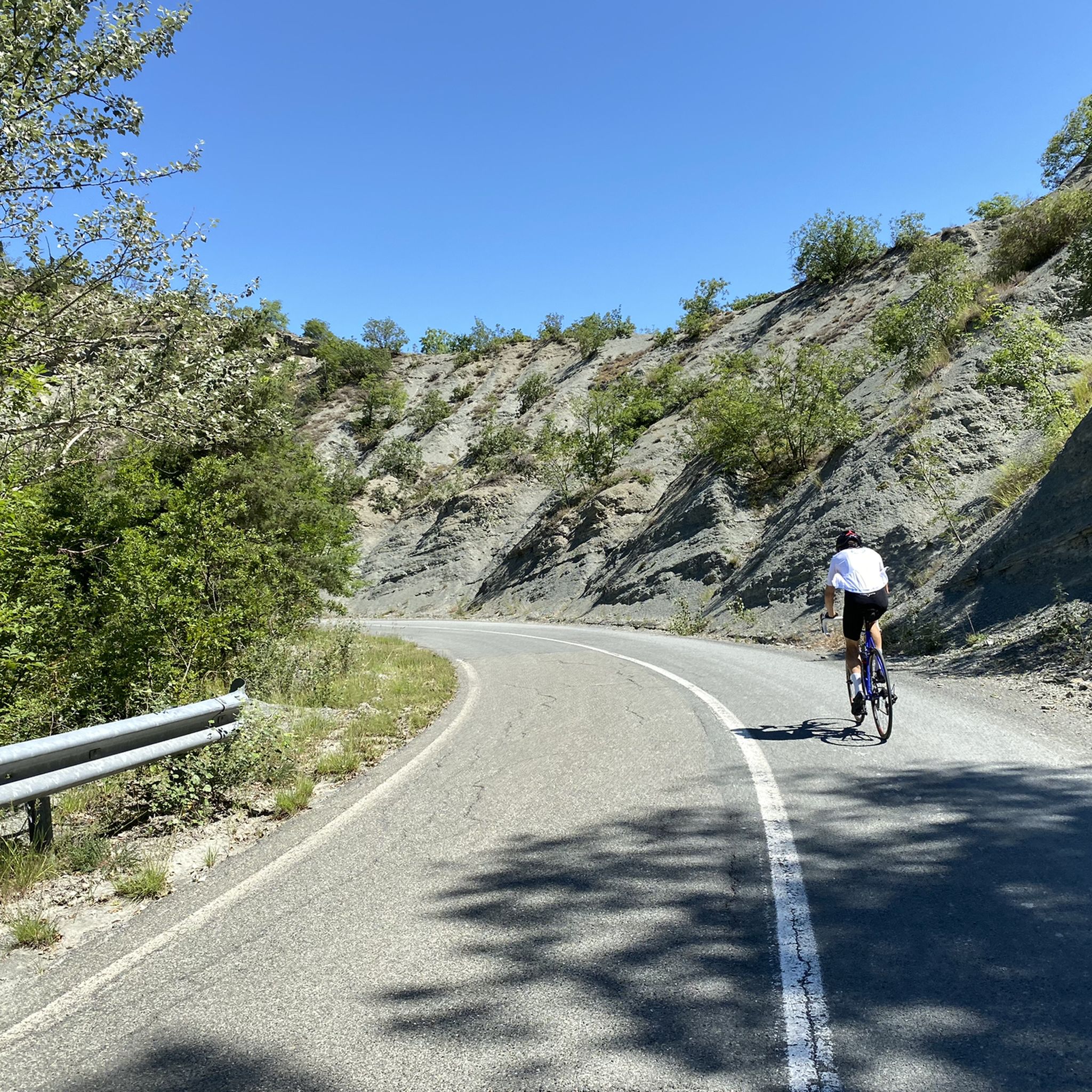
Road cycling routes around Parco naturale regionale di Piana Crixia traverse a landscape characterized by gentle, cultivated hills and rugged badlands. The region features unique "calanchi" or gullies, which are eroded clay and sand formations creating a distinctive terrain. Cyclists will find mostly paved surfaces winding through green woodlands, past charming villages, and across a watershed between the Langhe hills and the Bormida river valleys. This varied environment offers both minimal altitude differences and notable elevation gains.
Best road cycling…
Last updated: October 30, 2026
4.0
(1)
28
riders
Hard road ride. Very good fitness required. Mostly well-paved surfaces and easy to ride.
21
riders
38.3km
02:08
840m
840m
Moderate road ride. Good fitness required. Mostly well-paved surfaces and easy to ride.

5.0
(1)
13
riders
39.0km
02:10
810m
810m
Moderate road ride. Good fitness required. Mostly well-paved surfaces and easy to ride.
5.0
(1)
12
riders
21.7km
01:08
410m
410m
Moderate road ride. Good fitness required. Mostly well-paved surfaces and easy to ride.
6
riders
92.0km
04:45
1,550m
1,550m
Hard road ride. Very good fitness required. Mostly well-paved surfaces and easy to ride.
Get access to more routes and recommendations from other explorers.
Already have an account?
Our route recommendations are based on thousands of hikes, rides, and runs completed by other people on komoot.
Start today with a free account
Your next adventure awaits.
Tips from the Community


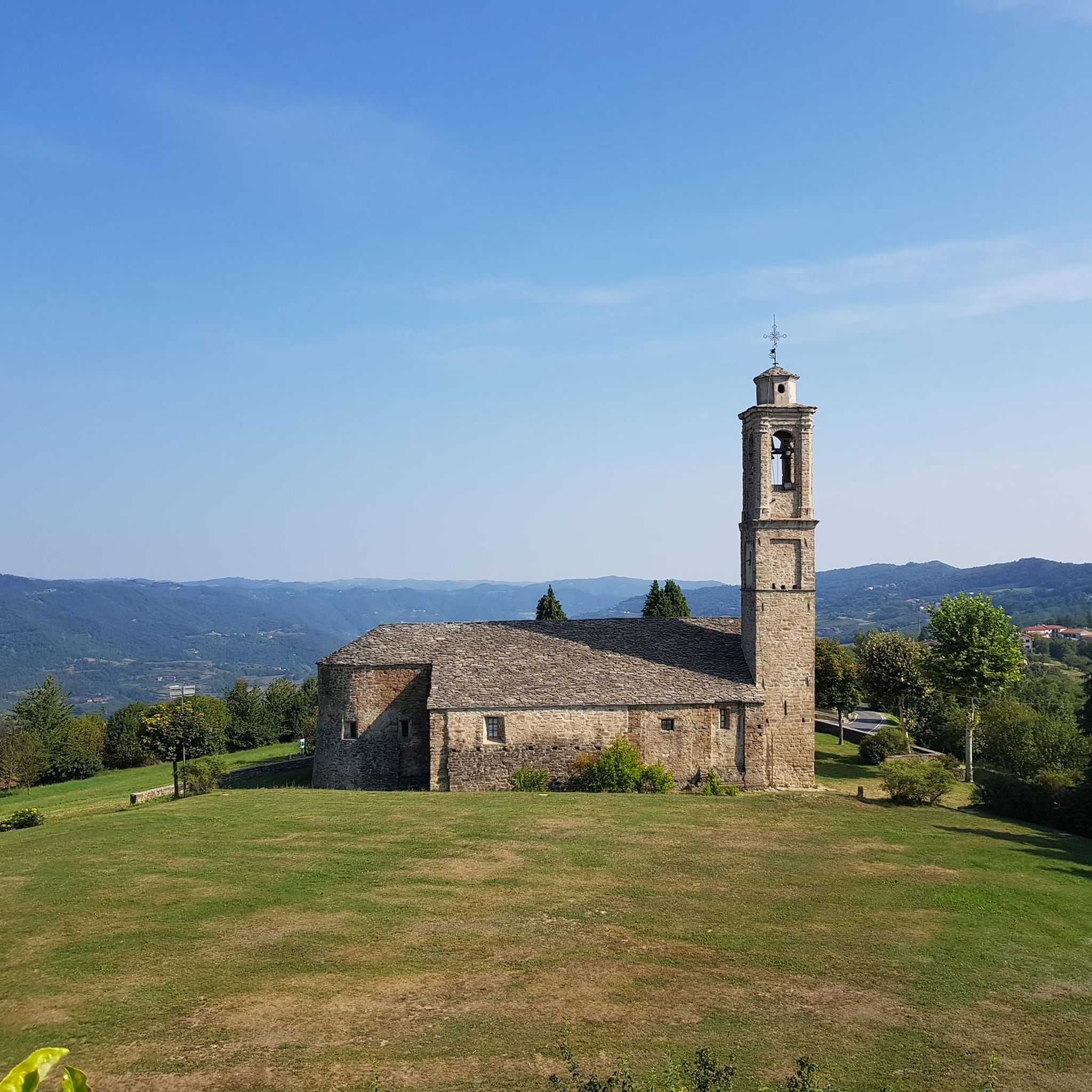
Roccaverano is a charming and authentic Italian municipality located in the province of Asti, in Piedmont. At about 800 meters above sea level, it stands on the hill that divides the Bormida valleys and is the highest inhabited center in the entire Asti region. This picturesque medieval village is internationally famous for two main reasons: its rich historical heritage and the production of the renowned Robiola di Roccaverano DOP
0
0
Olmo Gentile is located in Piedmont, in the province of Asti. Location information It stands at an altitude of 615 meters on the hills of Alte Langhe (Langa Astigiana), an area famous for its landscapes and hazelnut groves, close to the border with Liguria.
0
0
Small municipality that takes its name from the river of the same name, it is dominated by Mount Settepani (1386 m),
21
0
Located in the Ligurian Apennines, Altare is a medieval village, always famous for its glassmaking.
19
0
Common location in the upper Bermuda Valley.
17
0
Fountain with a great view.
18
0

Roccaverano is one of the highest elevations in the area, from the town you can enjoy a 360° panorama of both the surrounding hills and the mountains of the Alpine arc (guaranteed view, in good weather, from Monte Rosa to the Maritime Alps!) The road that goes up from Vesime is quite regular, with gradients that almost never exceed 9%, furthermore I found it pleasantly free of traffic (I went up on a Saturday) The central square is very beautiful, dominated by the remains of the castle and the eighteenth-century church, the bar/restaurant is also strategic, perfect for a beer or a snack. An ideal place for a stop, before taking the road back.
1
0
Frequently Asked Questions
How many road cycling routes are available in Parco naturale regionale di Piana Crixia?
There are over 100 road cycling routes available in Parco naturale regionale di Piana Crixia, offering a wide variety of options for cyclists of all levels.
What are the difficulty levels of road cycling routes in Parco naturale regionale di Piana Crixia?
The routes in Parco naturale regionale di Piana Crixia cater to various skill levels. You'll find a few easy routes, around 57 moderate routes, and about 45 difficult routes, ensuring options for both casual riders and experienced cyclists seeking a challenge.
What natural features and landmarks can I expect to see while road cycling in Parco naturale regionale di Piana Crixia?
While road cycling, you'll traverse a landscape of gentle, cultivated hills and rugged badlands. Keep an eye out for the unique 'calanchi' or gullies, which are eroded clay and sand formations creating a distinctive terrain. The area also features green woodlands, charming villages, and historical elements like churches and medieval castles dotting the slopes.
Are there any unique geological formations to look out for?
Yes, a prominent and iconic attraction is the 'Fungo di pietra' (Stone Mushroom), a remarkable geological formation standing 15 meters high. This natural monument is a result of ongoing erosion and is a significant point of interest within the park.
What is the best time of year for road cycling in Parco naturale regionale di Piana Crixia?
The spring and summer months offer particularly beautiful scenery. In spring, you can witness thousands of wild orchids in bloom, while June brings vibrant lavender fields. The generally mild climate makes it enjoyable for road cycling through much of the year, but these seasons offer unique natural spectacles.
Are there road cycling routes suitable for beginners or those seeking an easier ride?
Yes, the park offers routes with minimal altitude differences, making them accessible for various skill levels. While most routes are moderate or difficult, there are a few easier options to enjoy the scenic beauty without significant climbs.
Can I find challenging road cycling routes in Parco naturale regionale di Piana Crixia?
Absolutely. For more experienced cyclists, there are around 45 difficult routes with notable elevation gains. Routes like the Cairo Montenotte and Bormida Valley Loop, spanning over 90 km with significant elevation, provide a substantial challenge.
Are there circular road cycling routes available?
Yes, many of the road cycling routes in the region are designed as loops, allowing you to start and finish in the same location. Examples include the popular Piana Crixia and Dego Loop and the Santuario del Todocco e Santa Giulia da Piana Crixia – loop tour.
What do other road cyclists enjoy most about road cycling in Parco naturale regionale di Piana Crixia?
The area is highly rated by the komoot community, with an average score of 4.7 stars from over 100 reviews. Cyclists often praise the varied terrain, from gentle hills to unique badlands, and the scenic routes that wind through green woodlands and charming villages.
Is parking available for cyclists in Parco naturale regionale di Piana Crixia?
While specific designated cycling parking areas are not detailed, villages within and around the park, such as Piana Crixia, typically offer public parking options where you can safely leave your vehicle before starting your ride.
How accessible is Parco naturale regionale di Piana Crixia by public transport for cyclists?
Information on specific public transport links for cyclists is limited. It's generally recommended to plan your journey to the starting points of routes, such as Piana Crixia, by car, or research local bus services that may allow bicycles, though this can vary.
Are there any family-friendly road cycling options?
For families or those preferring a more relaxed pace, look for routes with minimal altitude differences and mostly paved surfaces. While specific 'family-friendly' routes are not explicitly categorized, easier sections or shorter loops like the From Piana Crixia to Dego – loop tour could be suitable, depending on the children's cycling experience.
What kind of terrain can I expect on the road cycling routes?
The road cycling routes feature mostly paved surfaces, winding through a diverse landscape. You'll encounter gentle, cultivated hills, green woodlands, and areas with unique 'calanchi' formations. The terrain varies from relatively flat sections to routes with significant elevation gains, offering a dynamic riding experience.
Most popular routes around Parco naturale regionale di Piana Crixia

Get inspired with the komoot mobile app


Explore more
Browse the best Road cycling routes in other regions.
