The best mountain hikes around Matadepera
8
hikers
3
hikes
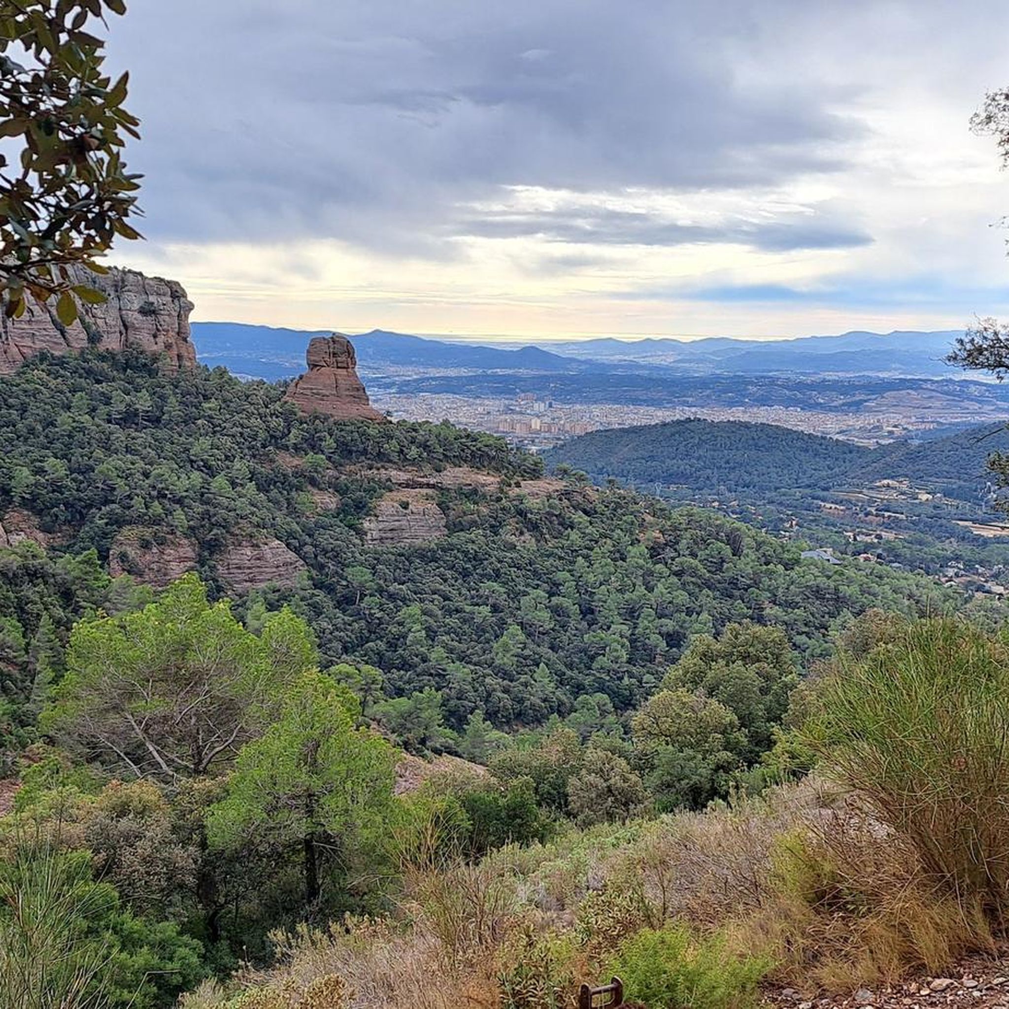
Mountaineering routes around Matadepera are primarily found within the Sant Llorenç del Munt i l'Obac Natural Park. This region is characterized by its diverse terrain, unique rock formations, and prominent peaks such as La Mola (1,104 meters) and Montcau (1,056 meters). The landscape offers varied environments for exploration, featuring rocky summits and extensive views across Catalonia.
Best mountaineering routes around Matadepera
- The most popular mountaineering route is Mountaineering loop from Sant Llorenç del Munt, a 2.8 miles (4.5 km)…
Last updated: November 1, 2026
4
hikers
4.53km
02:17
400m
400m
Hard mountaineering route. Good fitness required. Sure-footedness, sturdy shoes and alpine experience required.
3
hikers
Hard mountaineering route. Very good fitness required. Mostly walkable paths. Sure-footedness required.

1
hikers
12.2km
05:05
700m
700m
Hard mountaineering route. Very good fitness required. Sure-footedness, sturdy shoes and alpine experience required.
Our route recommendations are based on thousands of hikes, rides, and runs completed by other people on komoot.
Start today with a free account
Your next adventure awaits.
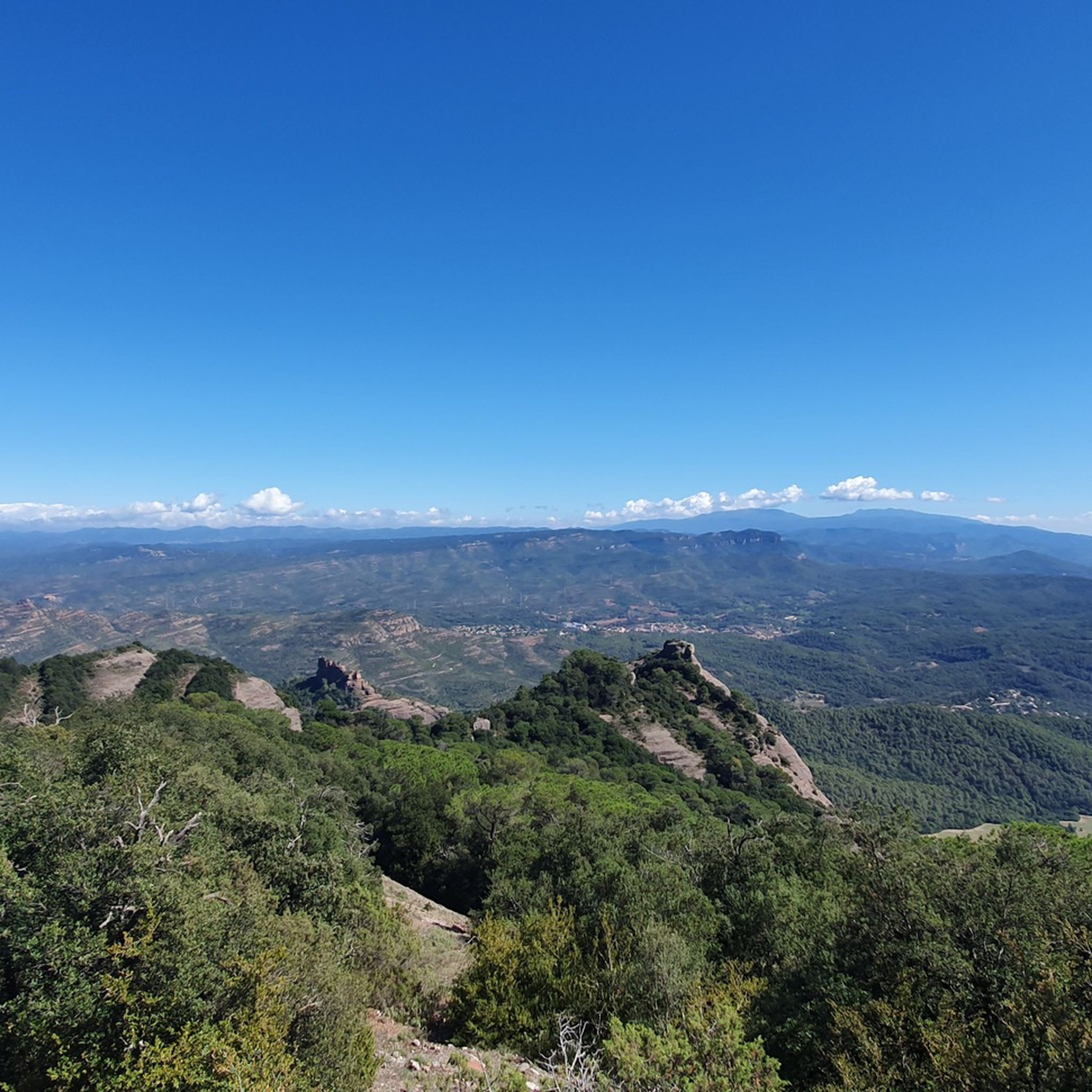
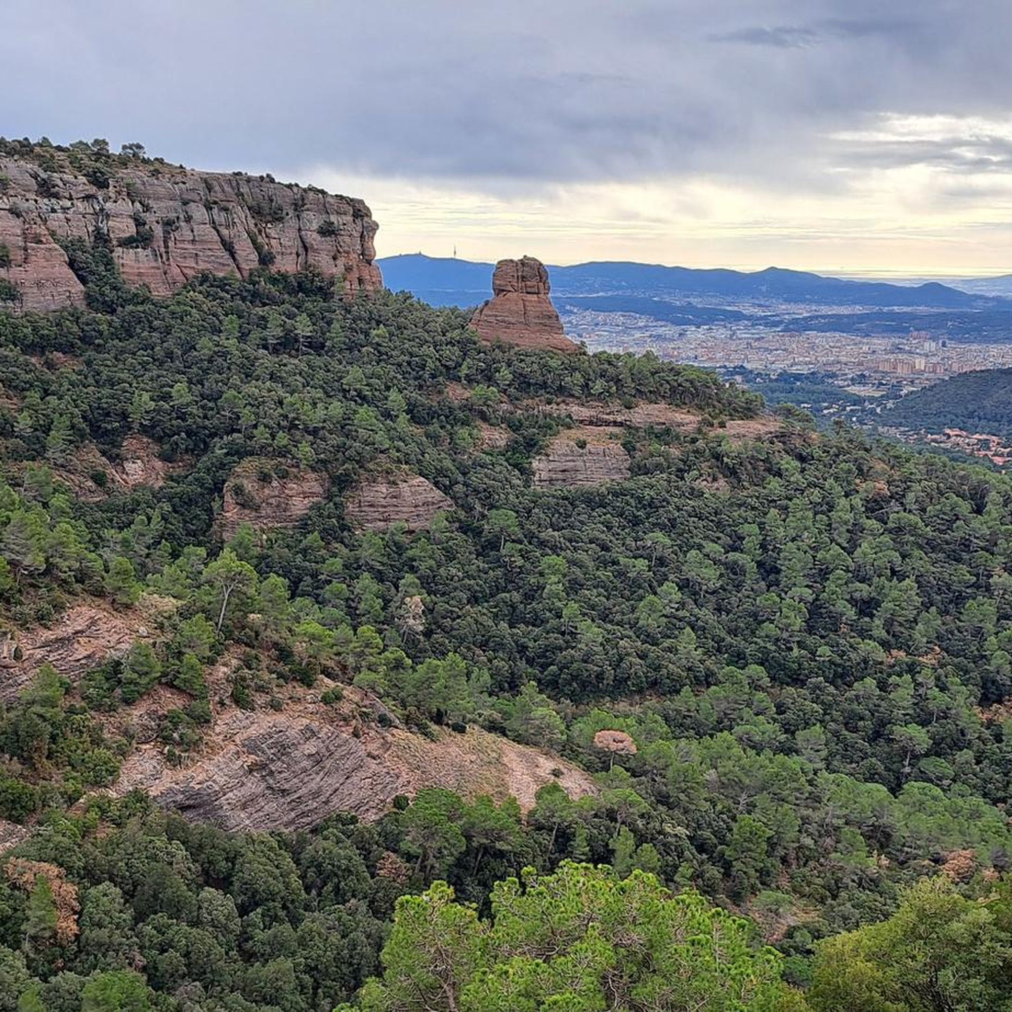
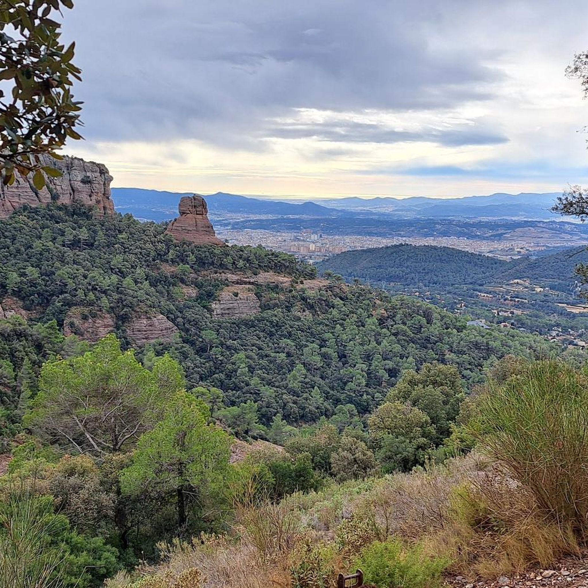
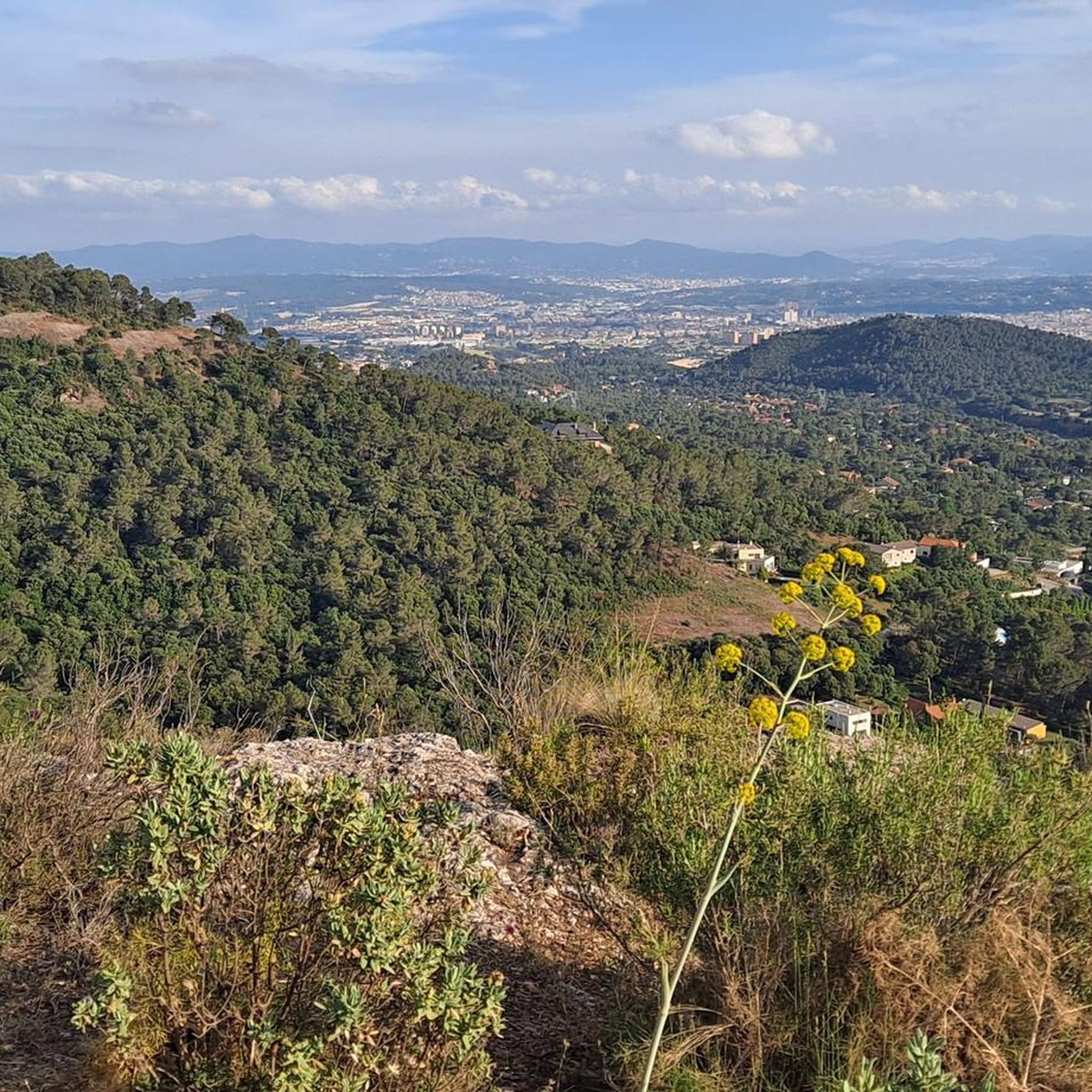
Tips from the Community

The restaurant has been closed since the fall of 2025.
2
0

Climbing it from the Talamanca side is more manageable than from the Matadepera area. Even so, whichever way you climb it, Coll is highly recommended to incorporate into your bike routes.
0
0

From Navarcles, you go uphill with some rest between each uphill section.
0
0
The restaurant has been closed since 2023.
1
0

a point high enough to enjoy beautiful views 🤩
1
0


beautiful port to climb with spectacular views, second highest point in the province of Barcelona, behind Collformic.
1
0

Frequently Asked Questions
What kind of terrain can I expect on mountaineering routes around Matadepera?
The mountaineering routes in Matadepera are primarily located within the Sant Llorenç del Munt i l'Obac Natural Park. You can expect diverse terrain, including unique rock formations, rocky summits, and varied vegetation. The landscape offers a mix of challenging climbs and scenic paths.
Are there any easy mountaineering routes suitable for beginners in Matadepera?
The routes highlighted in this guide are generally considered moderate to difficult, focusing on more challenging mountaineering experiences. However, the wider Sant Llorenç del Munt i l'Obac Natural Park does offer a range of paths, including some more leisurely options like the Dry Stone Route, which showcases historical agricultural heritage.
What are some notable peaks or landmarks I can reach on these routes?
Many routes lead to prominent peaks offering extensive views. You can reach La Mola (1,103 m), which hosts a 10th-century Romanesque monastery and a restaurant at its summit. Another significant peak is Montcau Summit, known for its rocky, pyramidal shape and views of Montserrat. The Mountaineering loop from Sant Llorenç del Munt is a great way to explore the area around the monastery.
Are there any circular mountaineering routes available?
Yes, several routes in the area are circular. For instance, the Mountaineering loop from Sant Llorenç del Munt is a difficult 4.5 km loop. Another option is the Mura – Puig de la Balma loop from Parc Natural de Sant Llorenç del Munt i l'Obac, which is a longer 15 km difficult path offering varied terrain.
What is the best time of year for mountaineering in Matadepera?
Matadepera's Mediterranean climate makes mountaineering enjoyable for much of the year. Spring and autumn offer pleasant temperatures and vibrant scenery. Summer can be hot, so early morning starts are recommended. Winter mountaineering is possible, but be prepared for cooler temperatures and potentially some snow at higher elevations, especially on peaks like La Mola and Montcau.
Are there any places to eat or get refreshments near the mountaineering routes?
Yes, notably, there is a popular restaurant located at the summit of La Mola, within the 10th-century Romanesque monastery. This offers a unique spot for refreshments with spectacular views after a climb.
What kind of views can I expect from the summits in Matadepera?
From the prominent peaks like La Mola, you can enjoy extensive panoramic views across Catalonia. Other summits, such as Puig de la Creu, offer vistas of the Vallès Occidental region, Collserola, and Montseny, while Montcau provides views towards the Manresa plain, Montserrat, and the Montseny massif.
Are there any natural monuments or unique features to look out for?
Absolutely. The area is rich in natural beauty. Keep an eye out for the unique rock formations throughout the park. You might also encounter specific highlights like The Dancing Holm Oak or the Morral del Drac. The Font de la Tartana, a covered fountain, is also a point of interest, especially along the Dry Stone Route.
How many mountaineering routes are covered in this guide?
This guide features several highly-rated mountaineering routes around Matadepera, offering a curated selection of the best experiences in the region.
What is the typical duration for these mountaineering routes?
The duration varies depending on the route and your pace. For example, the Mountaineering loop from Sant Llorenç del Munt typically takes around 2 hours and 19 minutes. Longer routes, like the Turó de Matalonga loop from el Ripoll, can take approximately 5 hours to complete.
Is public transport an option to reach the starting points of these routes?
While the guide focuses on the routes themselves, Matadepera is accessible by public transport, and local bus services may connect to areas near the natural park. For detailed information on public transport options to specific trailheads, it's advisable to check local transport schedules.
What should I wear for mountaineering in Matadepera?
Given the diverse terrain and potential for varying weather conditions, especially at higher altitudes, it's recommended to wear sturdy hiking boots, layered clothing suitable for changes in temperature, and to carry rain gear. Sun protection, such as a hat and sunscreen, is also important.
Most popular routes around Matadepera
Most popular attractions around Matadepera

Get inspired with the komoot mobile app


Explore more
Browse the best Mountain Hikes & Routes in other regions.
