The best walks and hikes around Parco Naturale della Collina di Superga
4.3
(2789)
18,230
hikers
28
hikes
Hiking around Parco Naturale della Collina di Superga offers diverse landscapes characterized by gently rolling hills covered in extensive oak and chestnut forests. This natural park features a network of well-maintained pedestrian paths suitable for various difficulty levels. Its unique geographical position contributes to a rich floral diversity, blending alpine and Mediterranean species. The park also provides panoramic views of Turin and the surrounding Alpine peaks, particularly from the Basilica of Superga.
Best hiking trails around Parco Naturale della Collina di Superga
- The most popular hiking route is Ancient Road of Pulchra Rada Trail, a 2.8 miles (4.5 km) trail that takes 1 hour 35 minutes to complete. This easy route offers a pleasant walk through the park's natural environment.
- Another top favourite among local hikers is Basilica of Superga – Trail 29 to Superga loop from Riserva Naturale dell'Isolone di Bertolla, a moderate 4.7 miles (7.6 km) path. This route combines natural immersion with cultural points of interest, including the iconic Basilica.
- Local hikers also love the The Path of the Trees – Superga Panoramic Road loop from Monte Aman, a 9.2 miles (14.8 km) trail leading through varied forest landscapes, often completed in about 4 hours 10 minutes.
- Hiking around Parco Naturale della Collina di Superga is defined by rolling hills, oak and chestnut forests, and panoramic viewpoints overlooking Turin and the Alps. The network of trails offers options for easy, moderate, and challenging ability levels.
- The routes in Parco Naturale della Collina di Superga are highly rated by the komoot community with an average score of 4.2 stars from over 600 reviews. More than 3000 hikers have used komoot to explore Parco Naturale della Collina di Superga's varied terrain.
Last updated: July 7, 2026
3.8
(37)
76
hikers
4.50km
01:37
270m
270m
Embark on the Ancient Road of Pulchra Rada Trail, an easy hiking route that takes you through varied terrain, from lush woodlands to more open sections. This 2.8-mile (4.5 km) journey involves an elevation gain of 875 feet (267 metres) and typically takes about 1 hour and 36 minutes to complete. As you ascend, you will enjoy rich scenery and panoramic views, with the impressive Basilica of Superga serving as a visual anchor on your path.
When planning your visit, you will find that accessing the trailhead is generally straightforward, with parking usually available nearby. While the trail is considered easy, it is always wise to wear appropriate footwear, especially since ancient paths can sometimes have uneven or rocky sections. Before you head out, remember to check local conditions to ensure you have the best possible experience on the route.
The Ancient Road of Pulchra Rada Trail offers a unique blend of natural beauty and historical significance, allowing you to walk in the footsteps of those who traveled these ancient tracks centuries ago. This route provides a tangible connection to the past, showcasing how these paths were once vital arteries through the landscape. It is a great way to experience the region's heritage while enjoying a manageable outdoor adventure.
4.6
(73)
334
hikers
Moderate hike. Good fitness required. Mostly accessible paths. Sure-footedness required.

Sign up for free
4.4
(22)
146
hikers
Moderate hike. Good fitness required. Easily-accessible paths. Suitable for all skill levels.
4.1
(17)
94
hikers
11.6km
03:18
260m
260m
Moderate hike. Good fitness required. Easily-accessible paths. Suitable for all skill levels.
4.3
(8)
23
hikers
3.19km
01:01
130m
130m
Easy hike. Great for any fitness level. Easily-accessible paths. Suitable for all skill levels.
Get access to more routes and recommendations from other explorers.
Sign up for free
Already have an account?
Our route recommendations are based on thousands of hikes, rides, and runs completed by other people on komoot.
Start today with a free account
Your next adventure awaits.
Login or Signup
Popular around Parco Naturale della Collina di Superga
Tips from the Community

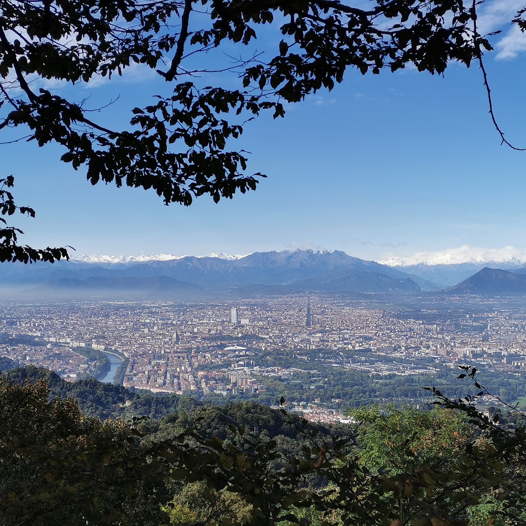
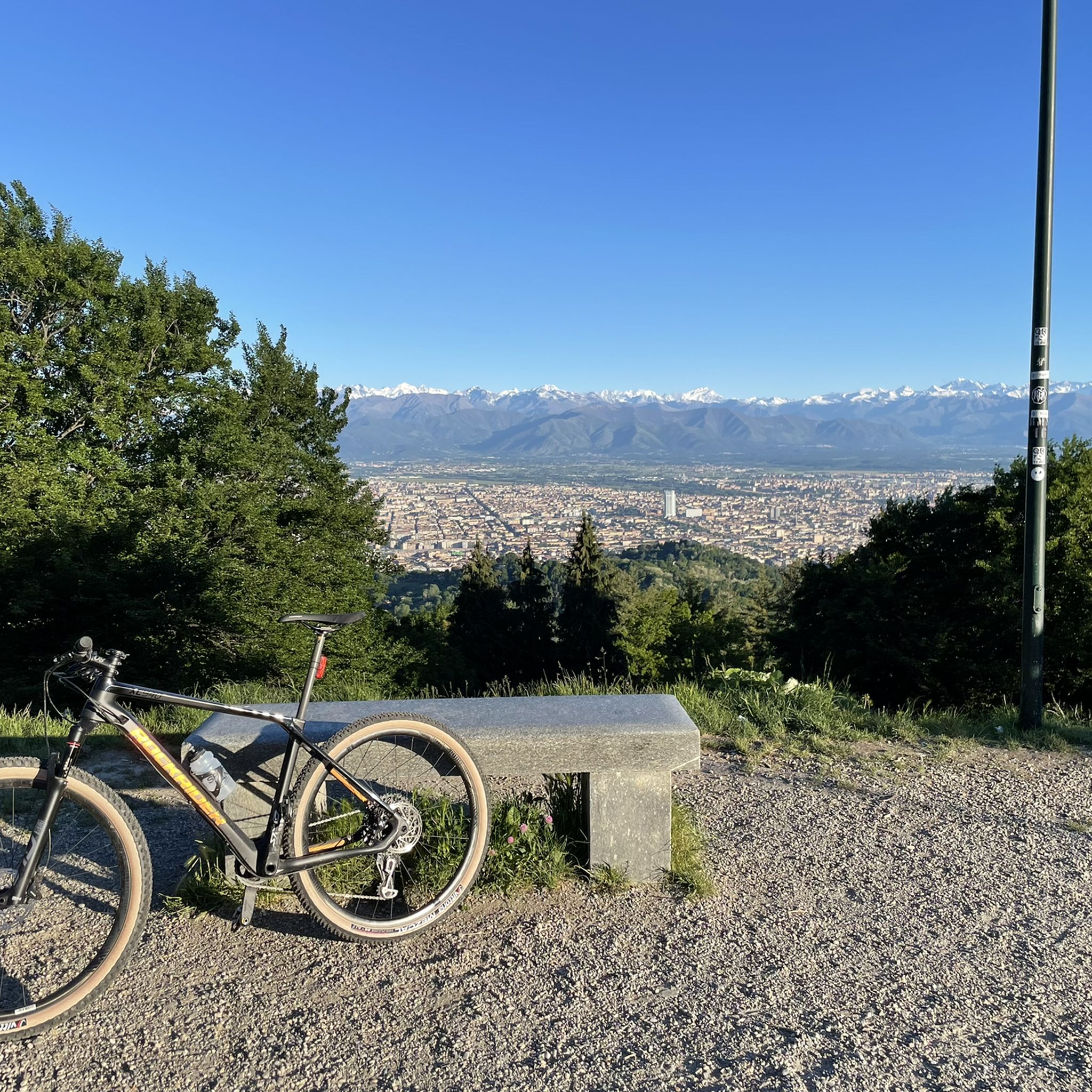
From the Basilica of Superga, you can enjoy an exceptional view of all of Turin - weather permitting.
0
0

Nice trail quite flowing suitable for everyone
0
0

In this place, right behind the Basilica of Superga, due to the thick fog, the entire team of the great Torino lost their lives in a plane crash
0
0


Monument dedicated to the Grande Torino team who died in the "Superga Tragedy" on May 4, 1949
0
0


A fitting tribute to the GREAT TURIN!!
0
0

the most beautiful path to reach Superga. all in the green, without roads
0
0
Frequently Asked Questions
How many hiking trails are available in Parco Naturale della Collina di Superga?
The Parco Naturale della Collina di Superga offers a network of over 25 hiking trails, catering to various difficulty levels. You'll find options ranging from easy strolls to more moderate paths through the diverse landscapes.
Are there easy hiking trails suitable for beginners or casual walkers?
Yes, the park features several easy trails. For instance, the Ancient Road of Pulchra Rada Trail is an easy 2.8-mile (4.5 km) route that provides a pleasant walk through the natural environment, typically taking about 1 hour 35 minutes.
What are some family-friendly hiking options in the park?
Many of the park's well-maintained pedestrian paths are suitable for families. The easier routes, like the Ancient Road of Pulchra Rada Trail, are ideal for walks with children, offering gentle terrain and engaging natural surroundings.
Can I bring my dog on the hiking trails in Parco Naturale della Collina di Superga?
The park's trails are generally dog-friendly, making it a great place to explore with your canine companion. However, it's always recommended to keep dogs on a leash to protect local wildlife and ensure a pleasant experience for all hikers.
Are there any circular hiking routes in the area?
Yes, the park offers several circular routes. A popular choice is the Basilica of Superga – Trail 29 to Superga loop from Riserva Naturale dell'Isolone di Bertolla, a moderate 4.7-mile (7.6 km) path that combines natural immersion with cultural points of interest, including the iconic Basilica.
What attractions or landmarks can I see while hiking in Parco Naturale della Collina di Superga?
The dominant attraction is the monumental Basilica of Superga, which offers breathtaking panoramic views of Turin and the Alps. Many trails incorporate the Basilica, and you might also encounter historical villas and farmhouses from the 17th-19th centuries along your route.
What is the best time of year to go hiking in Parco Naturale della Collina di Superga?
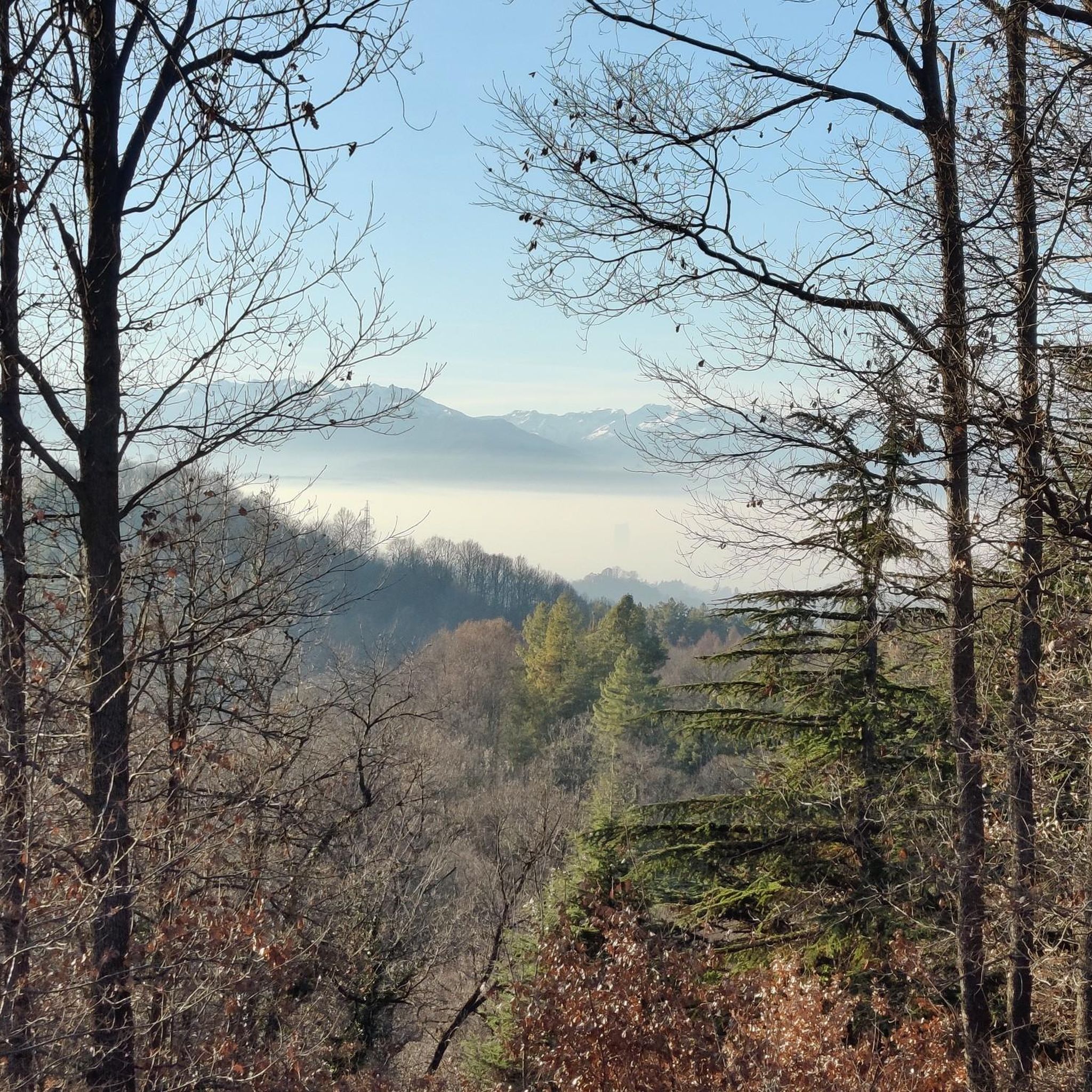
The park is suitable for hiking year-round. Spring and autumn offer pleasant temperatures and vibrant foliage, while summer provides lush greenery. Even winter walks can be rewarding, offering unique panoramic views through leafless trees.
How can I reach the hiking trails using public transport?
For those preferring not to drive, the historic Superga Rack Railway (Tranvia a Cremagliera) connects Sassi to Superga, providing convenient access to the park's higher points and trailheads near the Basilica.
Where can I park my car when visiting the hiking trails?
Parking is generally available near key access points to the park, particularly around the Basilica of Superga. It's advisable to check local signage for specific parking regulations and availability.
What do other hikers enjoy most about Parco Naturale della Collina di Superga?
The area is highly rated by the komoot community, with an average score of 4.2 stars from over 600 reviews. Hikers often praise the diverse landscapes, the well-maintained paths, and the stunning panoramic views of Turin and the Alps, especially from the Basilica of Superga.
Are there any longer, more challenging routes for experienced hikers?
While the park primarily features easy to moderate trails, some routes offer longer distances and more elevation gain. For example, The Path of the Trees – Superga Panoramic Road loop from Monte Aman is a moderate 9.2-mile (14.8 km) trail that leads through varied forest landscapes, taking about 4 hours 10 minutes to complete.
What kind of natural features can I expect to see in the park?
The park is characterized by gently rolling hills covered in extensive oak and chestnut forests. Its unique geographical position fosters a rich floral diversity, blending alpine and Mediterranean species. You might also spot local fauna like foxes, badgers, wild boars, and various bird species.
Most popular routes around Parco Naturale della Collina di Superga
Most popular attractions around Parco Naturale della Collina di Superga

Get inspired with the komoot mobile app


Explore more
Browse the best Hikes in other regions.
