The best road cycling routes around Brunn am Gebirge
4.5
(1369)
29,443
riders
22
rides
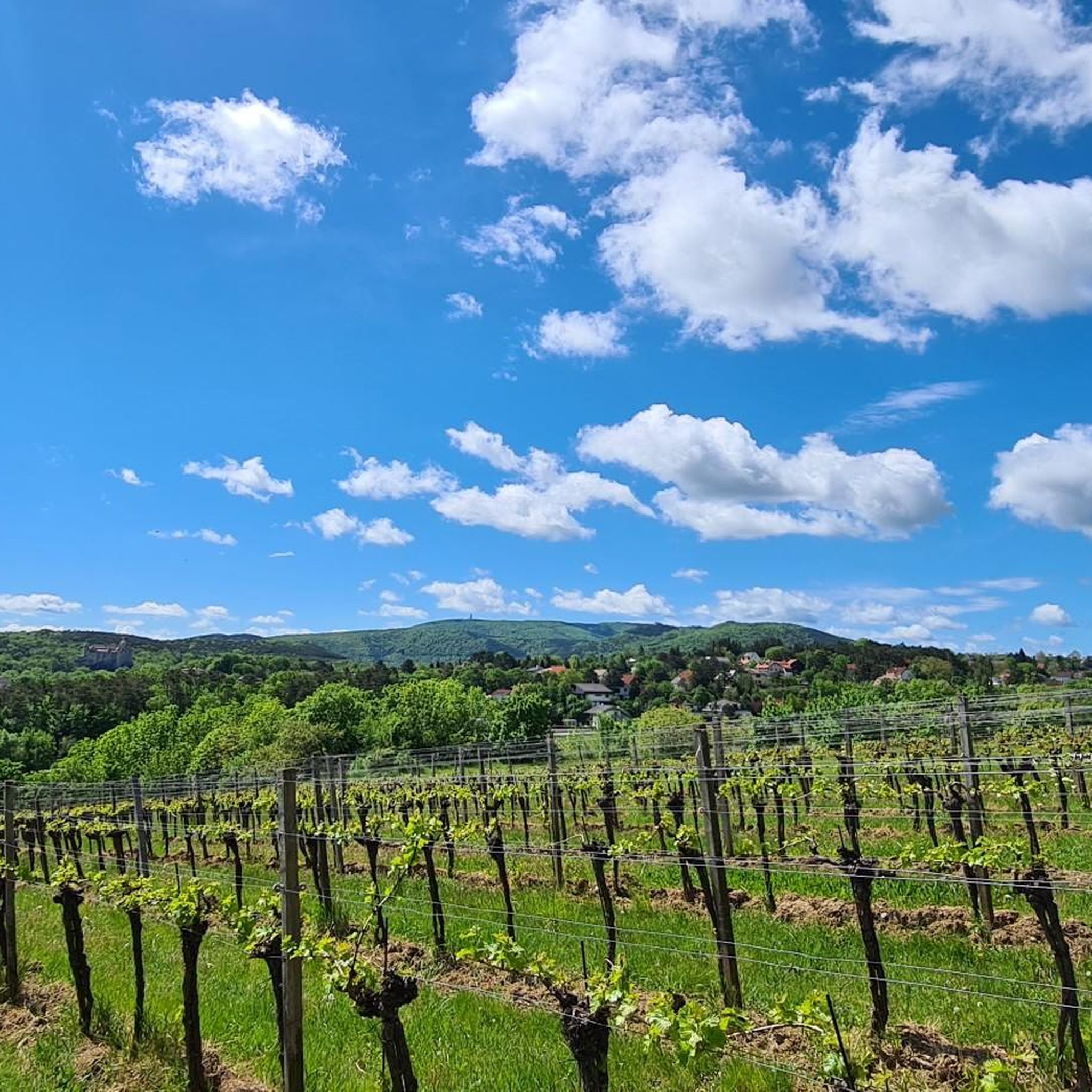
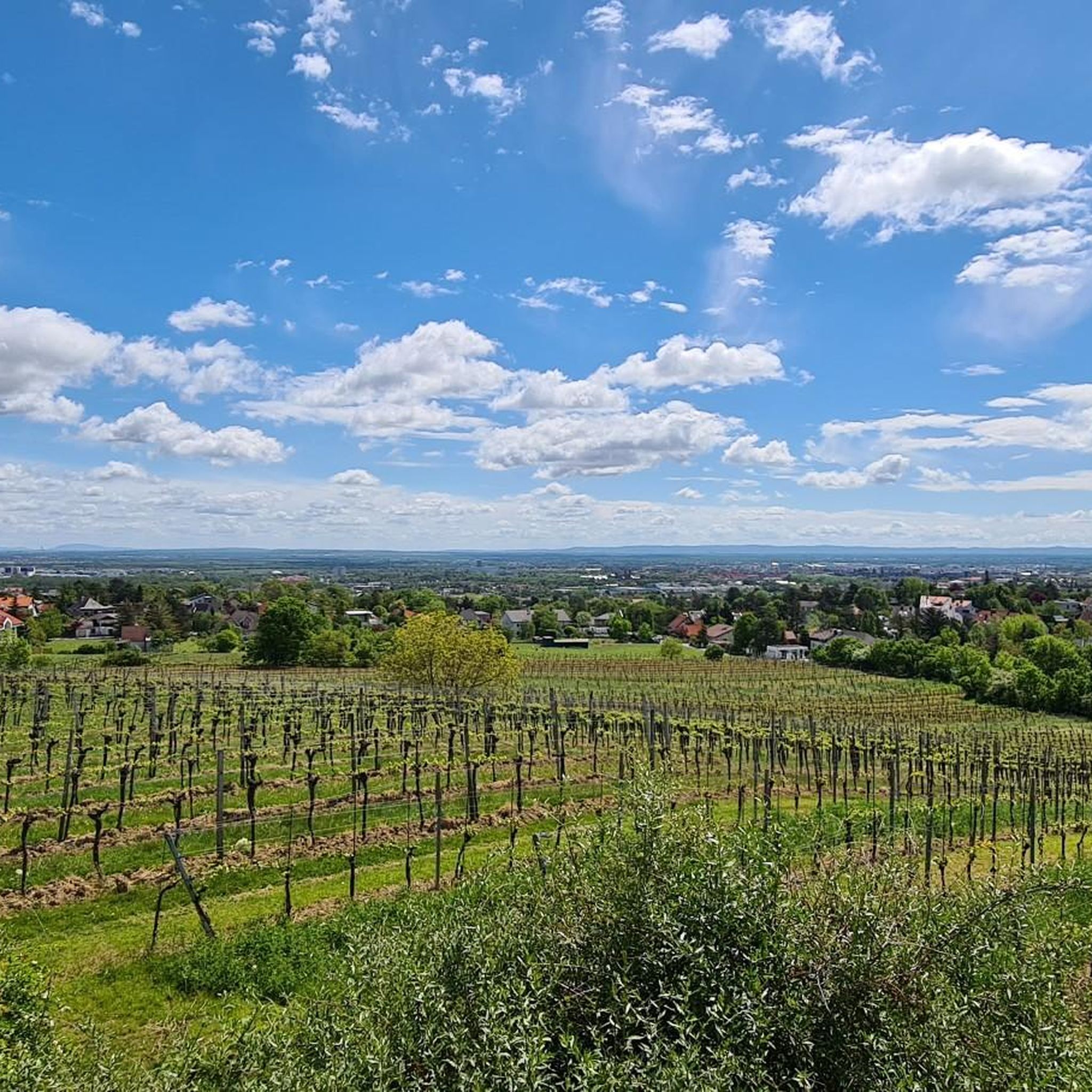
Road cycling routes Brunn am Gebirge traverse a landscape characterized by rolling hills, forested sections, and open stretches, offering varied terrain for road cyclists. The region features moderate elevation changes, with routes often including climbs and descents that provide both physical challenge and scenic views. This area is situated near the Vienna Woods, contributing to its natural setting.
Best road cycling routes around Brunn am Gebirge
- The most popular road cycling route is Einöde Hill Climb – Panorama Curve loop from Brunn-Maria Enzersdorf, a 27.4 miles (44.2 km) trail that takes 1 hour 59 minutes to complete. This moderate route features a notable hill climb and scenic panorama curves.
- Another top favourite among local road cyclists is Rechter Wöglerin Curve – Kleiner Semmering Pass loop from Brunn-Maria Enzersdorf, a difficult 52.7 miles (84.8 km) path. This route includes a pass, offering sustained climbing and descents through varied terrain.
- Local road cyclists also love the Rechter Wöglerin Curve – Hochroterd loop from Brunn-Maria Enzersdorf, a 38.8 miles (62.4 km) trail leading through a landscape with notable curves and elevation changes, often completed in about 2 hours 53 minutes.
- Road cycling around Brunn am Gebirge is defined by rolling hills, forested areas, and open country roads. The network offers options for easy, moderate, and difficult routes, catering to different ability levels.
- The routes in Brunn am Gebirge are highly rated by the komoot community with an average score of 4.7 stars from over 60 reviews. More than 1500 road cyclists have used komoot to explore Brunn am Gebirge's varied terrain.
Last updated: July 6, 2026
4.3
(26)
548
riders
44.2km
01:59
430m
430m
Moderate road ride. Good fitness required. Mostly well-paved surfaces and easy to ride.
4.6
(9)
486
riders
62.4km
02:53
740m
740m
Moderate road ride. Good fitness required. Mostly well-paved surfaces and easy to ride.

Sign up for free
139
riders
84.8km
04:00
1,110m
1,110m
Hard road ride. Very good fitness required. Some segments of this route may be unpaved and difficult to ride.
5.0
(2)
72
riders
70.8km
03:20
870m
870m
Moderate road ride. Good fitness required. Mostly well-paved surfaces and easy to ride.
32
riders
114km
05:40
1,720m
1,720m
Hard road ride. Very good fitness required. Some segments of this route may be unpaved and difficult to ride.
Get access to more routes and recommendations from other explorers.
Sign up for free
Already have an account?
Our route recommendations are based on thousands of hikes, rides, and runs completed by other people on komoot.
Start today with a free account
Your next adventure awaits.
Login or Signup
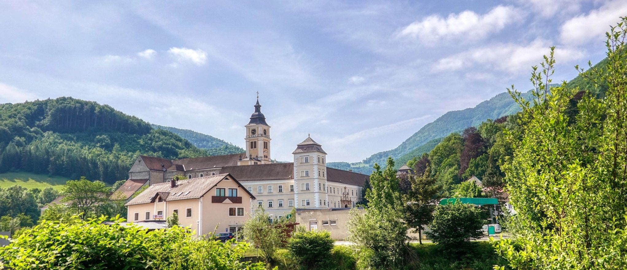
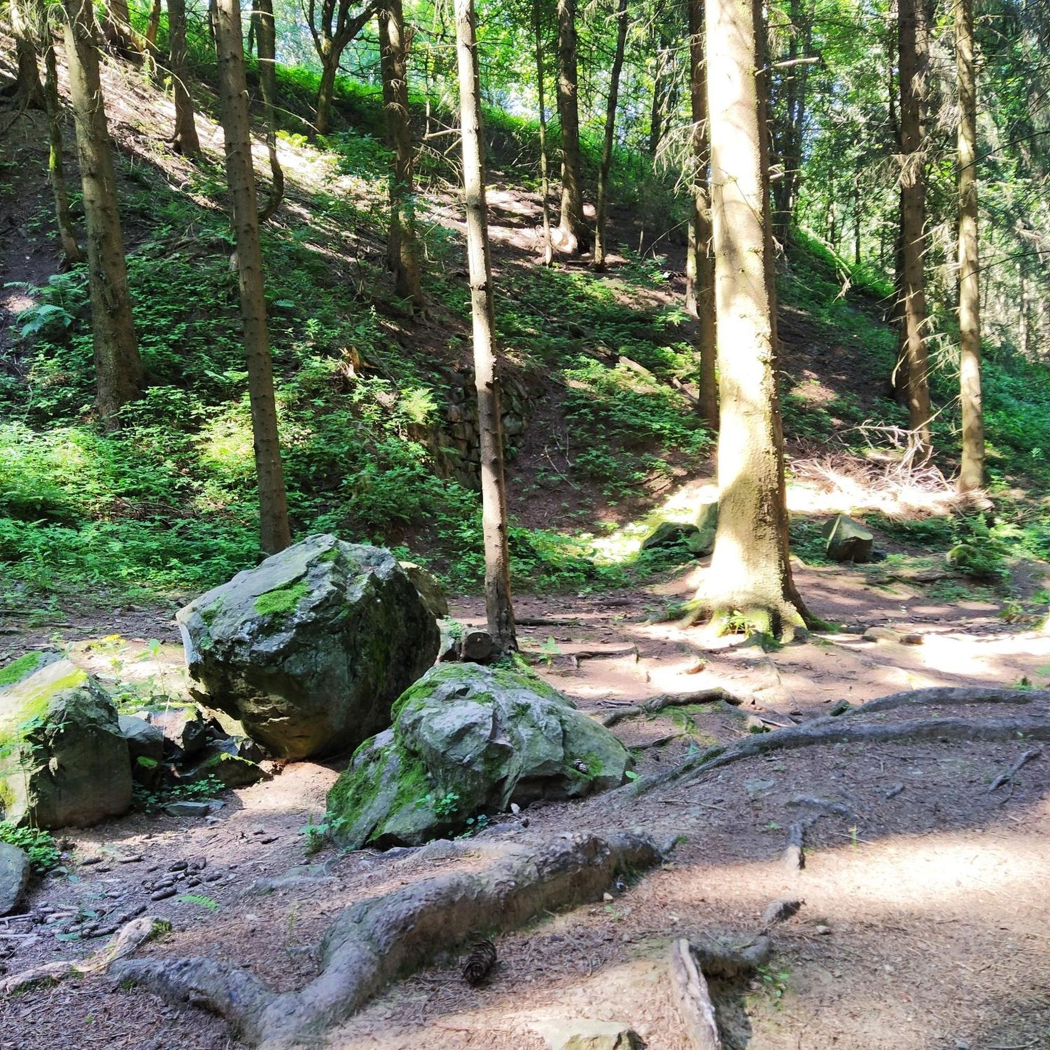
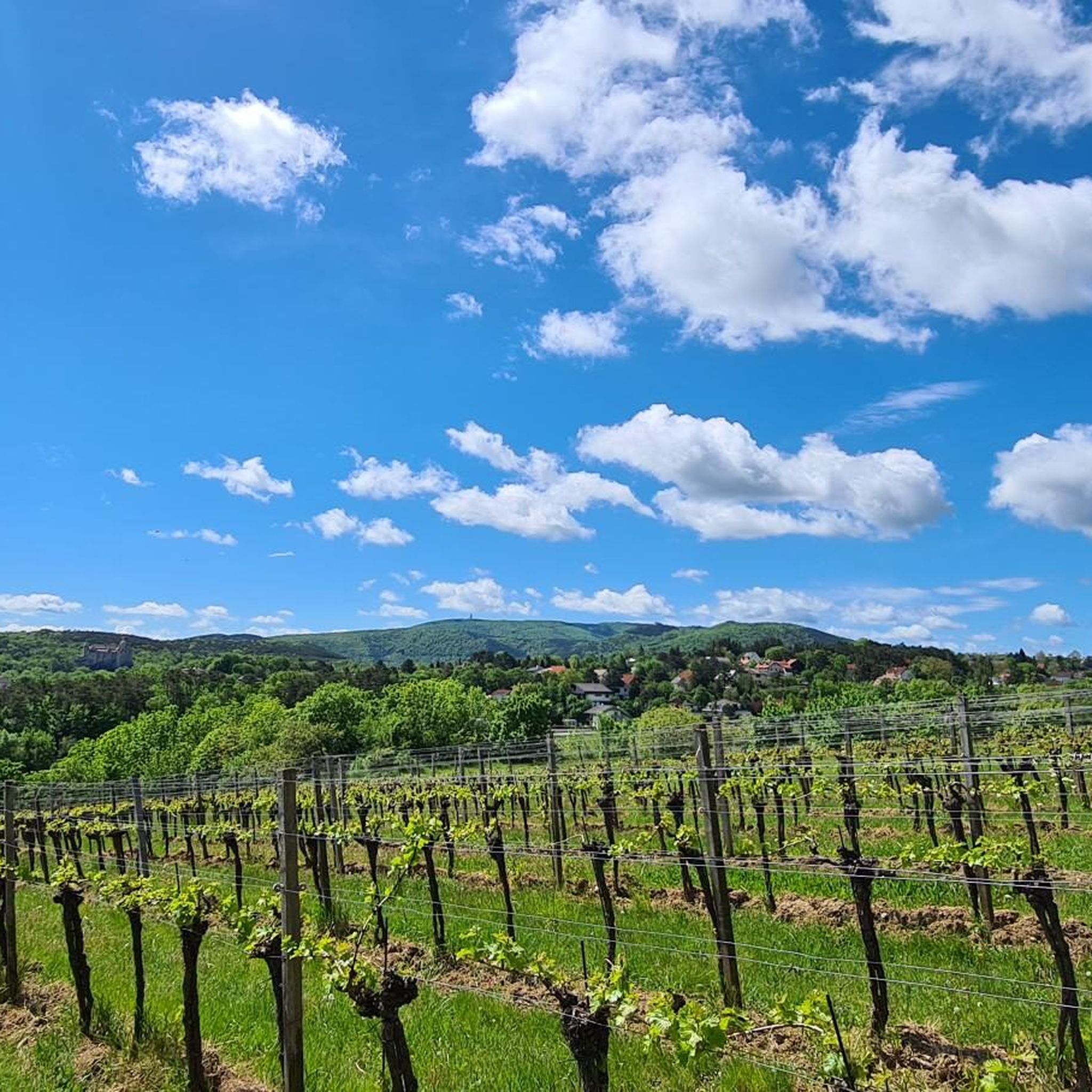
Other adventures around Brunn am Gebirge

Tips from the Community

The Kleine Semmering is the watershed between Wienfluss and Liesingbach.
1
0

The route is good to ride, but relatively busy with traffic
0
0

really nice place, worth a visit
0
0

St. Othmar - Catholic Church Mödling and a beautiful view over Mödling
0
0

The admin should name the correct place, because Pressbaum is far away from it!!
3
0


The site of the tragedy of January 30, 1889, has long been a convent. During my last visit, you could still drive up and ring the nuns' bell; today, everything is cordoned off and secured. Instead, there's a chic reception building. 😉
4
0

A tragedy made the place world-famous and a destination for many culture-loving tourists: On January 30, 1889, Crown Prince Rudolf and his lover, Mary Vetsera, committed suicide in what was then the hunting lodge. Following the "Tragedy of Mayerling," Emperor Franz Joseph had the castle redesigned as Carmel St. Joseph, a monastery for the Discalced Carmelites. While there had previously only been a small memorial, a visitor center was inaugurated in October 2014. Since the collapse of the Habsburg Monarchy led to the loss of the foundation for the maintenance of the convent, the nuns have since relied on the income from the memorial.
2
0
Frequently Asked Questions
How many road cycling routes are available in Brunn am Gebirge?
There are over 20 road cycling routes around Brunn am Gebirge, offering a variety of options for different skill levels and preferences.
Are there easy road cycling routes for beginners in Brunn am Gebirge?
Yes, Brunn am Gebirge offers several routes suitable for beginners. There are 3 easy routes available, perfect for those new to road cycling or looking for a more relaxed ride.
What are the typical distances and durations for road cycling routes in this area?
Routes vary significantly in length and time. For example, the Einöde Hill Climb – Panorama Curve loop from Brunn-Maria Enzersdorf is a moderate 27.4 miles (44.2 km) route that typically takes around 2 hours. Longer, more challenging routes can extend up to 70 miles (113 km) and take several hours to complete.
Are there challenging routes for experienced road cyclists?
Absolutely. For experienced cyclists seeking a challenge, Brunn am Gebirge features 7 difficult routes. An example is the Rechter Wöglerin Curve – Kleiner Semmering Pass loop from Brunn-Maria Enzersdorf, which is 52.7 miles (84.8 km) long and includes significant climbs and descents.
What kind of scenery can I expect on road cycling routes around Brunn am Gebirge?
The routes traverse a diverse landscape of rolling hills, forested sections, and open stretches. You'll experience moderate elevation changes, offering both physical challenge and scenic views, particularly as you ride near the Vienna Woods.
Are there any loop routes available for road cycling?
Yes, many of the road cycling routes in Brunn am Gebirge are designed as loops, allowing you to start and finish at the same point. For instance, the Rechter Wöglerin Curve – Hochroterd loop from Brunn-Maria Enzersdorf is a popular 38.8 miles (62.4 km) loop.
What do other road cyclists say about the routes in Brunn am Gebirge?
The road cycling routes in Brunn am Gebirge are highly rated by the komoot community, with an average score of 4.7 stars from over 60 reviews. Cyclists often praise the varied terrain, the balance of challenge and scenic beauty, and the well-maintained paths.
What are some notable landmarks or attractions I might see along the routes?
While cycling, you might encounter natural features like the Breite Föhre Rest Area or the Liesingbach Restoration. The historic Liechtenstein Castle is also a prominent landmark in the vicinity.
How does road cycling in Brunn am Gebirge compare to nearby areas like Perchtoldsdorf?
Both Brunn am Gebirge and Perchtoldsdorf offer excellent road cycling opportunities within the Vienna Woods region. Brunn am Gebirge is characterized by its rolling hills and a mix of forested and open country roads, providing a good variety of moderate to difficult routes. Perchtoldsdorf, being adjacent, shares similar landscape features but may offer slightly different starting points and access to specific parts of the Vienna Woods.
Are there any routes that feature significant climbs or passes?
Yes, several routes include notable climbs and passes. The Einöde Hill Climb – Panorama Curve loop from Brunn-Maria Enzersdorf features a distinct hill climb, and the Rechter Wöglerin Curve – Kleiner Semmering Pass loop from Brunn-Maria Enzersdorf includes a pass with sustained climbing.
What is the longest road cycling route available in Brunn am Gebirge?
One of the longest routes is the Inscribed Beech – Descent to Laaben loop from Brunn-Maria Enzersdorf, which spans 70.6 miles (113.7 km) and involves over 1700 meters of elevation gain, making it a challenging full-day ride.
Most popular routes around Brunn am Gebirge
Most popular attractions around Brunn am Gebirge

Get inspired with the komoot mobile app


Explore more
Browse the best Road cycling routes in other regions.
