The best mountain hikes around Réserve naturelle de la vallée de Chaudefour
4.6
(14)
72
hikers
11
hikes
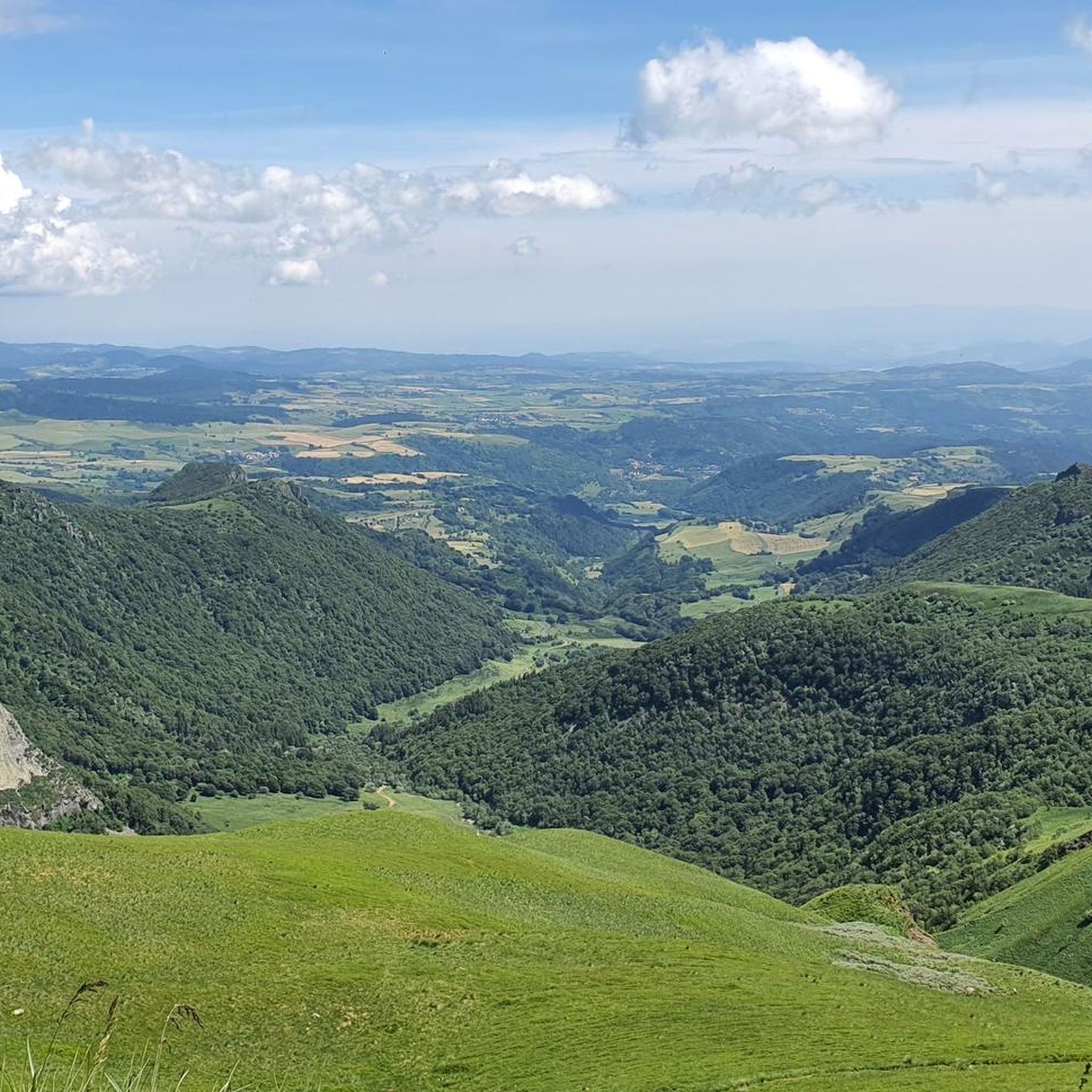
Mountaineering routes around Réserve naturelle de la vallée de Chaudefour traverse a dramatic glacial valley within the Massif du Sancy, shaped by volcanic activity approximately 600,000 years ago. The terrain features exposed lava needles and dykes, such as the Dent de la Rancune and Crête de Coq, alongside picturesque waterfalls and mineral springs. Elevations range from approximately 900 to 1,800 meters, encompassing diverse ecosystems from beech forests to subalpine grasslands and rocky habitats.
Best mountaineering routes around Réserve naturelle de la vallée de Chaudefour
- The most popular mountaineering route is Puy de Sancy – Col de la Cabane loop from Puy de Sancy, a 4.8 miles (7.7 km) trail that takes 2 hours 56 minutes to complete, offering views of the volcanic landscape.
- Another top favourite among local mountaineers is Puy Redon loop from Puy de Sancy, a moderate 3.2 miles (5.2 km) path. This route provides access to the distinctive volcanic formations of the valley.
- Local mountaineers also love the Puy de Sancy – Crêtes du Sancy loop from Super Besse, a 6.9 miles (11.2 km) trail leading through the Crêtes du Sancy, often completed in about 4 hours 25 minutes.
- Mountaineering around Réserve naturelle de la vallée de Chaudefour is defined by dramatic volcanic landscapes, glacial valley formations, and prominent rock features like the Dent de la Rancune. The network offers options for easy, moderate, and difficult ability levels.
- The routes in Réserve naturelle de la vallée de Chaudefour are highly rated by the komoot community with an average score of 4.3 stars from more than 20 reviews. More than 100 mountaineers have used komoot to explore Réserve naturelle de la vallée de Chaudefour's varied terrain.
Last updated: July 1, 2026
4.3
(4)
15
hikers
8.13km
03:02
510m
510m
Moderate mountaineering route. Good fitness required. Mostly accessible paths. Sure-footedness required.
5.0
(1)
9
hikers
5.08km
02:03
400m
400m
Moderate mountaineering route. Good fitness required. Easily-accessible paths. Suitable for all skill levels.

Sign up for free
4.5
(2)
7
hikers
11.2km
04:25
580m
580m
Moderate mountaineering route. Good fitness required. Mostly accessible paths. Sure-footedness required.
5.0
(1)
7
hikers
5.86km
02:21
460m
460m
Moderate mountaineering route. Good fitness required. Easily-accessible paths. Suitable for all skill levels.
4.0
(1)
13
hikers
11.2km
04:10
680m
680m
Moderate mountaineering route. Good fitness required. Mostly accessible paths. Sure-footedness required.
Get access to more routes and recommendations from other explorers.
Sign up for free
Already have an account?
Our route recommendations are based on thousands of hikes, rides, and runs completed by other people on komoot.
Start today with a free account
Your next adventure awaits.
Login or Signup
Popular around Réserve naturelle de la vallée de Chaudefour
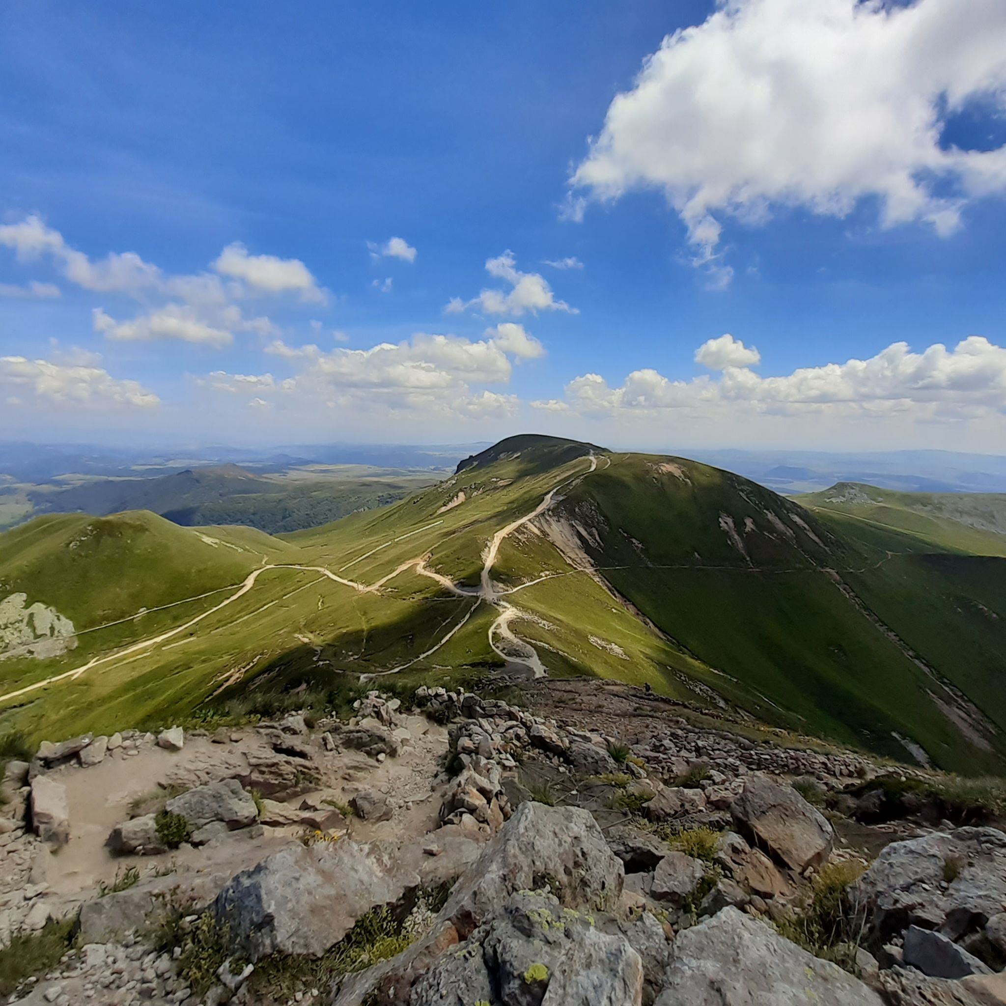
Hiking around Réserve naturelle de la vallée de Chaudefour
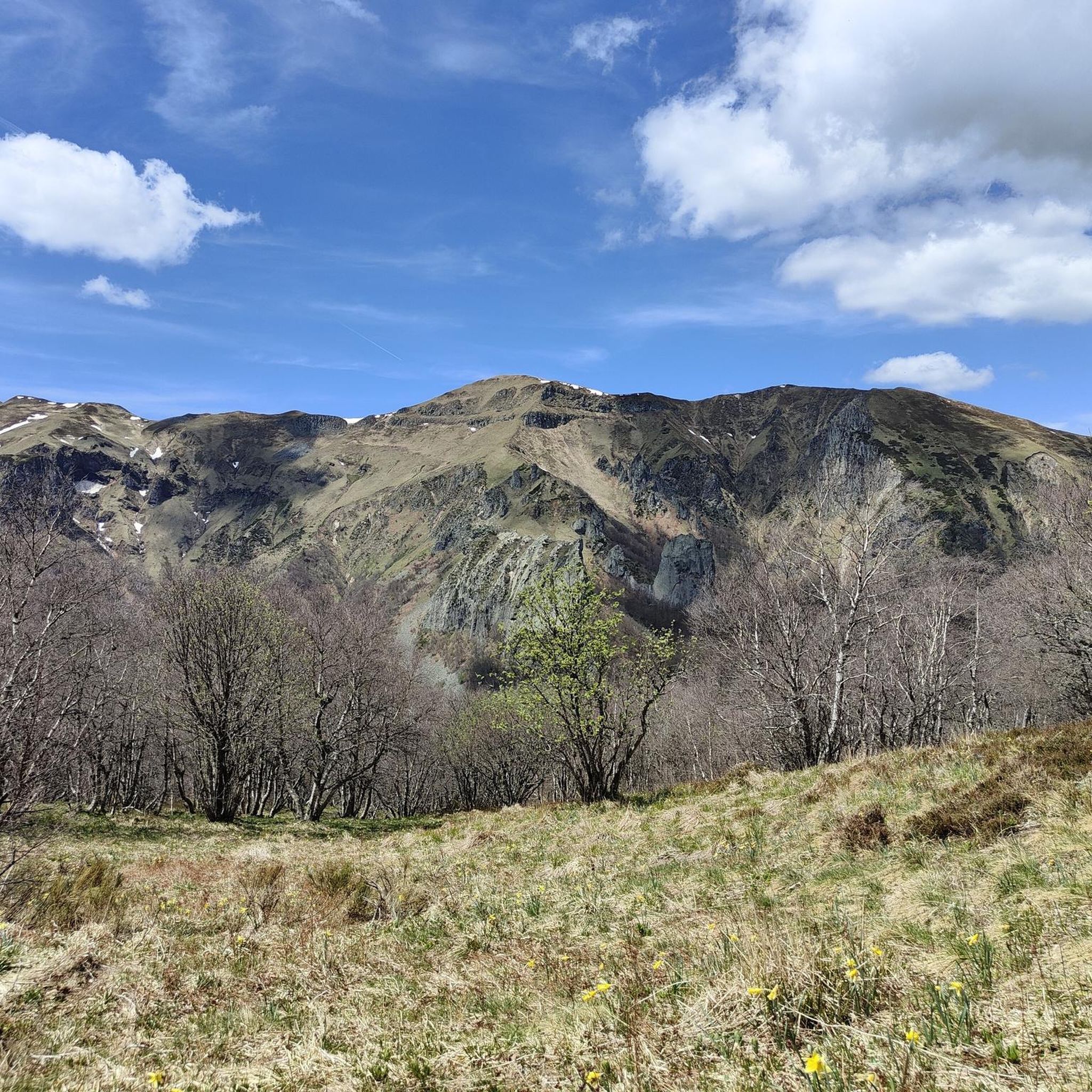
Road Cycling Routes around Réserve naturelle de la vallée de Chaudefour
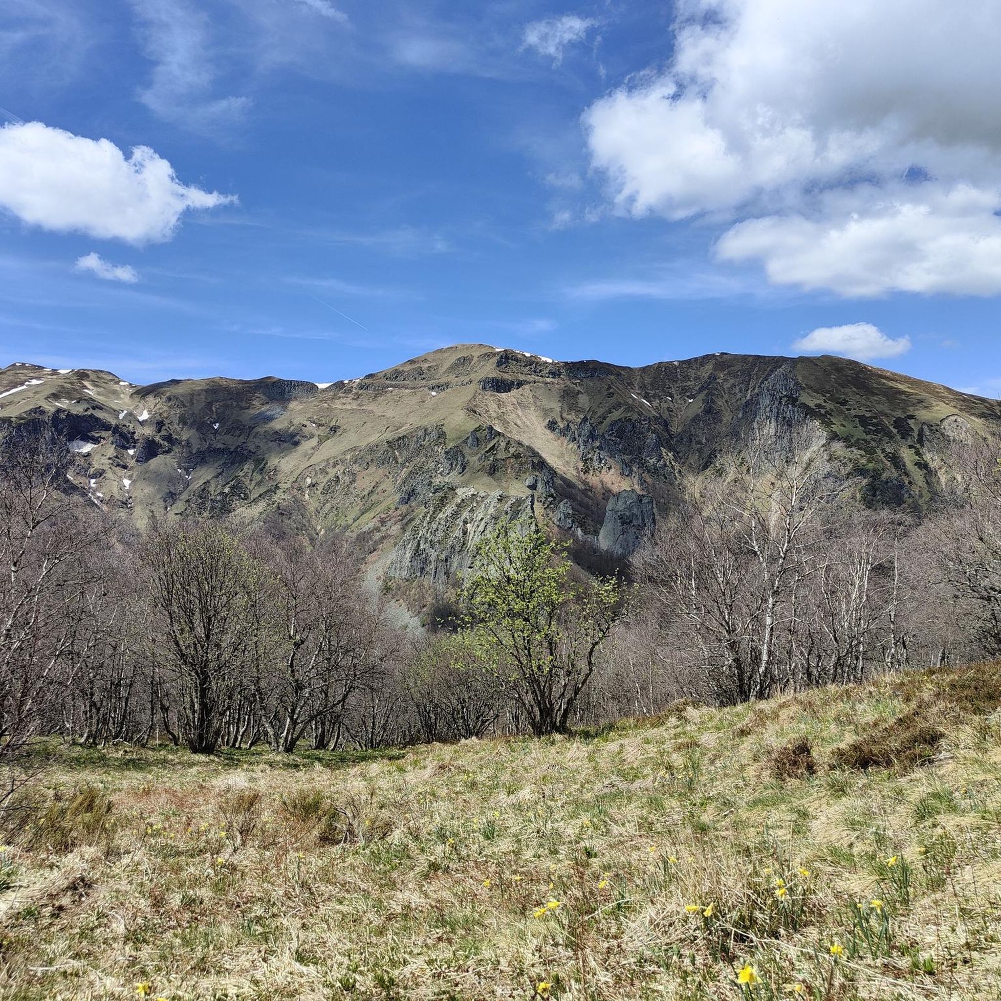
MTB Trails around Réserve naturelle de la vallée de Chaudefour
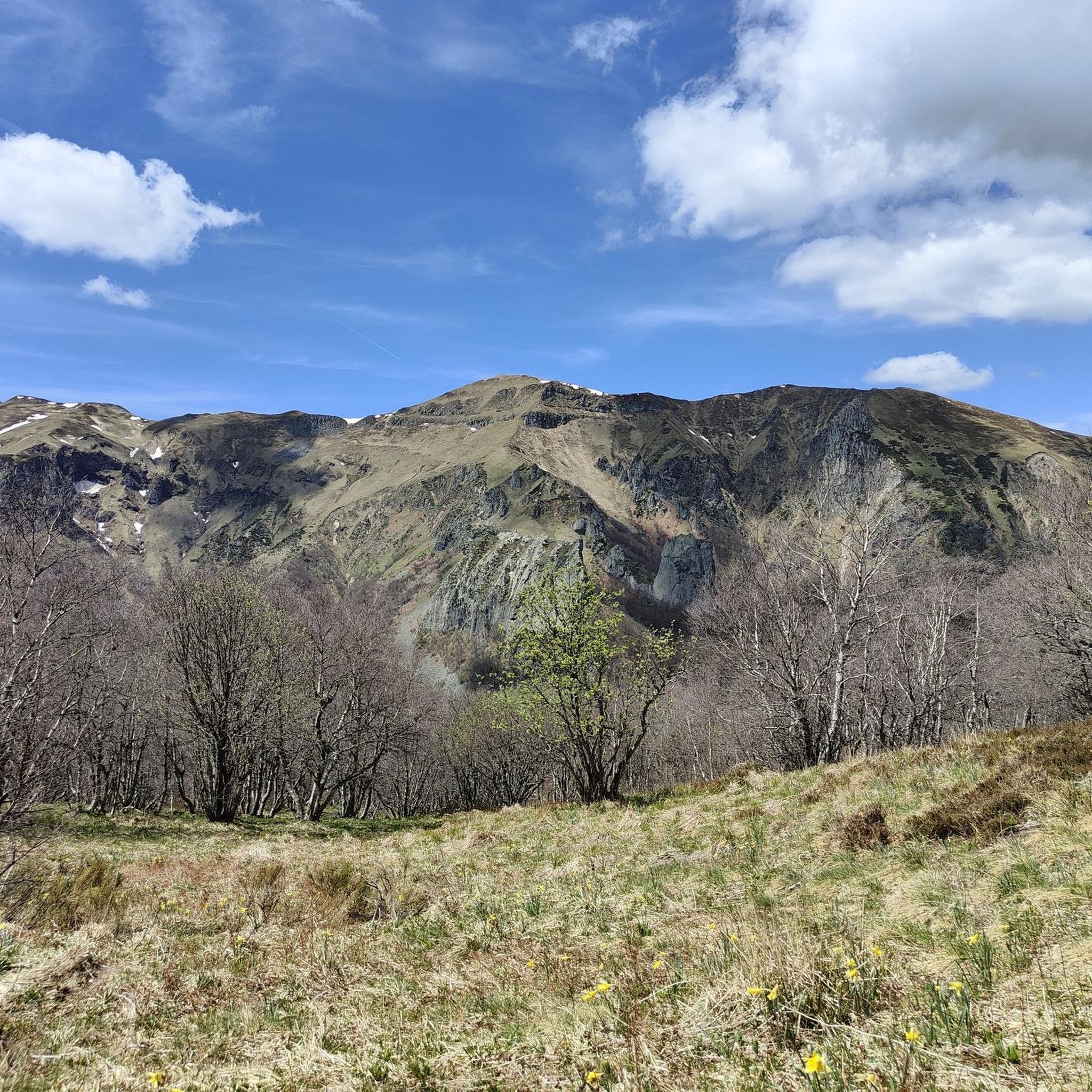
Cycling around Réserve naturelle de la vallée de Chaudefour
Running Trails around Réserve naturelle de la vallée de Chaudefour

Gravel biking around Réserve naturelle de la vallée de Chaudefour
Tips from the Community

you have to have ridden it to understand
0
0

It's amazing how these puny source streams can become such a magnificent river, until it flows into the Atlantic as the Gironde.
0
0
This is a popular hiking area in the Auvergne Volcanoes Nature Park. Those who want to hike in nature should set off early.
1
0


Very impressive prospects, good to go.
0
0
Very impressive prospects, good to go.
1
0
Frequently Asked Questions
How many mountaineering routes are available in Réserve naturelle de la vallée de Chaudefour?
There are 14 mountaineering routes available in the Réserve naturelle de la vallée de Chaudefour. These routes offer a range of difficulties, from easy to challenging, allowing you to explore the dramatic volcanic landscapes and glacial valley formations.
Are there any easy mountaineering routes suitable for beginners?
Yes, the Réserve naturelle de la vallée de Chaudefour offers 1 easy mountaineering route. While most routes are moderate, this option provides a gentler introduction to the area's unique terrain. For a moderate but accessible experience, consider the Puy Redon loop from Puy de Sancy, which is 5.2 km long and takes around 2 hours.
What kind of geological features can I expect to see on these routes?
The valley is renowned for its dramatic volcanic and glacial origins. You'll encounter striking lava needles and dykes, such as the famous Dent de la Rancune and Crête de Coq. The landscape is a result of the partial collapse of the Sancy volcanic massif, creating a distinctive 'trough' shape with prominent ridges and ancient volcanic structures.
Are there any routes that feature waterfalls?
Yes, the valley is home to several picturesque cascades. The impressive 30-meter-high Biche waterfall is a notable highlight, along with the Pérouse and Moine waterfalls. You can experience this natural beauty on routes that pass through the valley floor, such as those near the Chaudefour Valley and the Biche Waterfall highlight.
What is the best time of year to go mountaineering in Réserve naturelle de la vallée de Chaudefour?
The Réserve naturelle de la vallée de Chaudefour offers diverse experiences throughout the year. While specific conditions vary, late spring to early autumn generally provides the most favorable weather for mountaineering, with accessible trails and vibrant ecosystems. Winter mountaineering is possible but requires appropriate gear and awareness of snow and ice conditions.
Are there any circular mountaineering routes?
Yes, many of the mountaineering routes in the Réserve naturelle de la vallée de Chaudefour are circular, offering varied scenery without retracing your steps. For example, the Puy de Sancy – Col de la Cabane loop from Puy de Sancy is a popular 7.7 km circular trail, and the Puy de Sancy – Crêtes du Sancy loop from Super Besse provides a longer 11.2 km circular option.
What kind of wildlife might I encounter on the trails?
The reserve boasts rich biodiversity. Keep an eye out for mountain species such as chamois, mouflon, marmots, deer, squirrels, rabbits, and wild boars. The diverse ecosystems, ranging from beech forests to subalpine zones, provide habitats for a wide array of fauna.
Are there any good viewpoints along the mountaineering routes?
Absolutely. The volcanic and glacial landscape offers numerous panoramic vistas. The 'Tour de la vallée de Chaudefour par les crêtes' is a well-known crest trail offering stunning views of the glacial valley and the surrounding Massif du Sancy. You can also find excellent perspectives from the Ridge Overlooking the Chaudefour Valley.
What is the average difficulty of mountaineering routes in this area?
The majority of mountaineering routes in Réserve naturelle de la vallée de Chaudefour are rated as moderate. Out of 14 routes, 8 are moderate, 1 is easy, and 5 are difficult. This variety ensures options for different skill levels, with moderate routes typically involving significant elevation changes and varied terrain.
What do other mountaineers say about the routes in Réserve naturelle de la vallée de Chaudefour?
The routes in Réserve naturelle de la vallée de Chaudefour are highly rated by the komoot community, with an average score of 4.3 stars from over 20 reviews. Mountaineers often praise the dramatic volcanic landscapes, the challenging yet rewarding ascents, and the unique geological formations like the Dent de la Rancune.
Are there any longer, more challenging mountaineering routes for experienced climbers?
For experienced mountaineers seeking a challenge, the reserve offers 5 difficult routes. The Dent de la Rancune, a 90-meter lava needle, is particularly renowned for its 39 challenging climbing routes, best suited for advanced climbers. The Crête de Coq also offers routes up to 130 meters.
Where can I park when visiting the Réserve naturelle de la vallée de Chaudefour for mountaineering?
While specific parking locations for each route are not detailed here, the Réserve naturelle de la vallée de Chaudefour is a popular destination, and designated parking areas are typically available near trailheads or visitor access points. It is advisable to check local signage upon arrival for the most convenient parking for your chosen route.
Can I find places to eat or drink near the mountaineering trails?
The region around Réserve naturelle de la vallée de Chaudefour, being a popular outdoor destination, likely offers various options for refreshments. While specific cafes or pubs directly on the trails are rare in a nature reserve, you can usually find establishments in nearby villages or towns surrounding the Massif du Sancy area.
Most popular routes around Réserve naturelle de la vallée de Chaudefour
Most popular attractions around Réserve naturelle de la vallée de Chaudefour

Get inspired with the komoot mobile app


Explore more
Browse the best Mountain Hikes & Routes in other regions.
