The best walks and hikes around Itero De La Vega
4.4
(29)
316
hikers
4
hikes
Hiking around Itero De La Vega offers routes through the Tierra de Campos region, characterized by gently undulating plains and the Pisuerga River valley. The area is an integral part of the Camino de Santiago, providing paths across open landscapes. Historical landmarks and a unique cultural landscape blend with natural features, including the ancient Puente Fitero.
Best hiking trails around Itero De La Vega
- The most popular hiking route is Boadilla del Camino from Frómista — circular by the Canal…
Last updated: July 7, 2026
4.8
(4)
24
hikers
Moderate hike. Good fitness required. Easily-accessible paths. Suitable for all skill levels.
5.0
(1)
4
hikers
11.8km
03:16
210m
210m
Moderate hike. Good fitness required. Easily-accessible paths. Suitable for all skill levels.

Sign up for free
1
hikers
6.37km
01:47
120m
120m
Easy hike. Great for any fitness level. Easily-accessible paths. Suitable for all skill levels.
1
hikers
6.53km
01:48
110m
110m
Easy hike. Great for any fitness level. Easily-accessible paths. Suitable for all skill levels.
1
hikers
6.32km
01:37
20m
20m
Easy hike. Great for any fitness level. Easily-accessible paths. Suitable for all skill levels.
Our route recommendations are based on thousands of hikes, rides, and runs completed by other people on komoot.
Start today with a free account
Your next adventure awaits.
Login or Signup
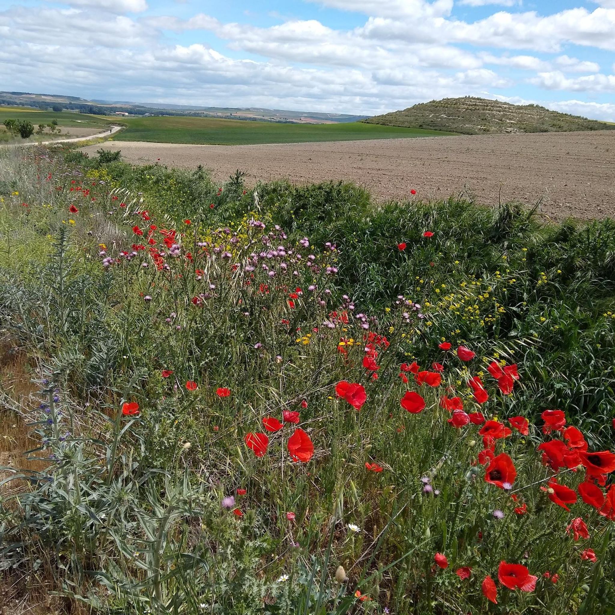
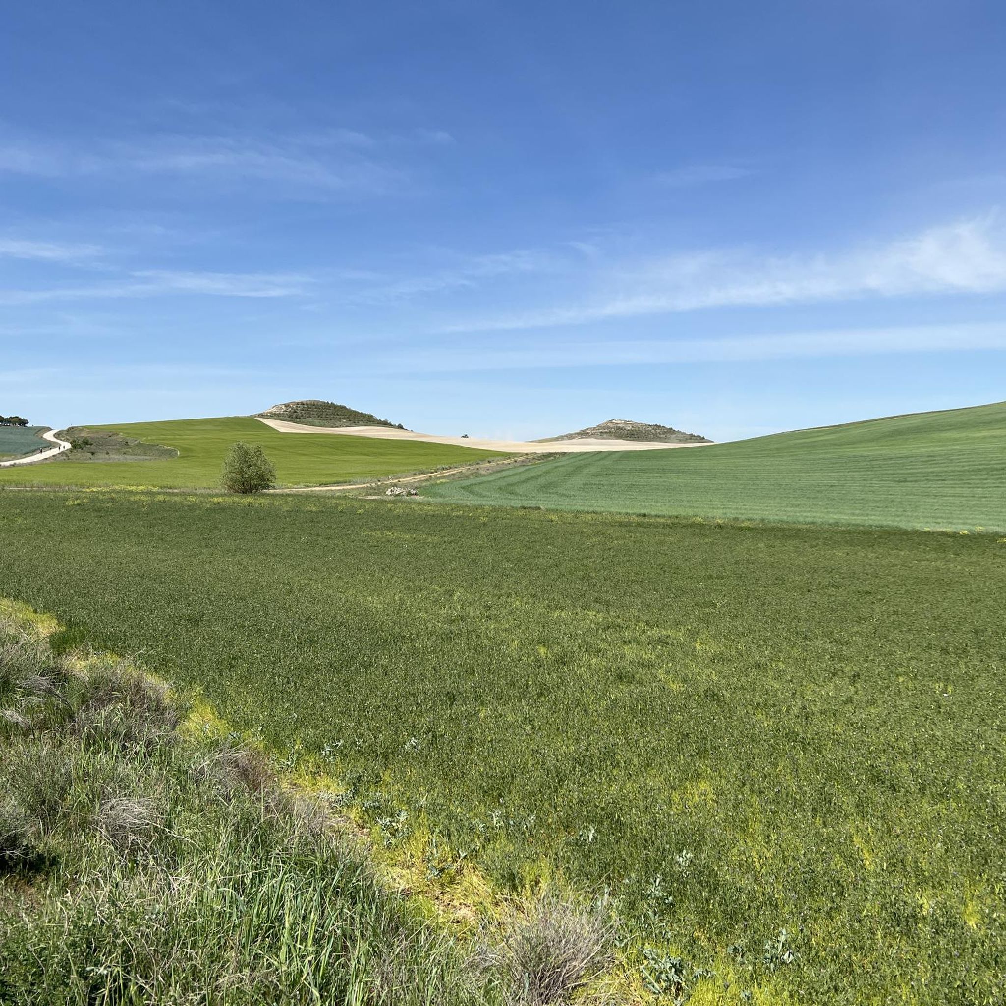
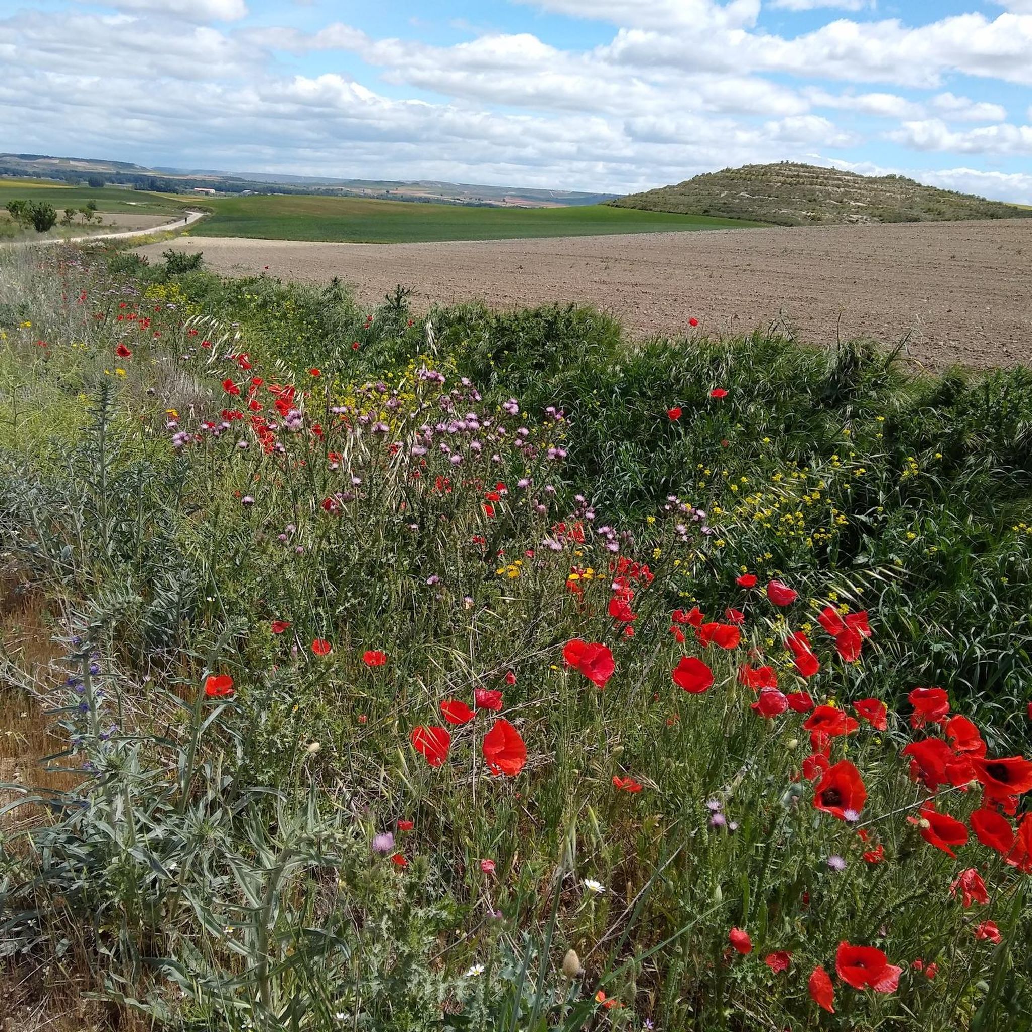

Tips from the Community

A short, pleasant stretch to walk because the water cools the air a little.
1
1

The view from Alto de Mostelares is one of the most iconic and spectacular views of the Camino de Santiago in the province of Burgos. This peak is located approximately 4 km west of Castrojeriz and is famous for both its challenging climb and its panoramic views.
2
0
Located on a hilltop, it dominates the town and offers spectacular views of the region. Its origins are Roman, although it was expanded by Arabs and Christians. It suffered severe damage in the Lisbon earthquake of 1755, but its ruins can still be visited.
2
0
The Convent of Santa Clara de Castrojeriz, located in the province of Burgos, is one of the most emblematic monuments of this town on the Camino de Santiago. Founded in the 13th century, this convent of Poor Clare nuns has maintained a continuous presence since its inception, making it one of the oldest still-operating convents in Castile.
2
0


The ruins of Astudillo Castle rise on a prominent mound detached from the San Martín moor. Although its origins may date back to the 10th century, there is no documentary evidence of its existence until the 11th century.
1
0

At the entrance to the venerable Poor Clare monastery stands a baroque holy water font. What's inside? A disinfectant dispenser. No holy water. No blessing. Just hygiene. Do people here still believe in the Real Presence – or just in the bacterial load? The Camino leads not only over mountains, but also through the abysses of liturgical desacralization. #HolyWaterSubstitute #RealPresenceOrEthanol #CaminoSatire #SantaClaraDisinfected
1
0

There is an entrance fee; 5 euros.
6
0
Frequently Asked Questions
What kind of terrain can I expect when hiking around Itero De La Vega?
The hiking trails around Itero De La Vega primarily traverse the gently undulating plains of the Tierra de Campos region. You'll also find paths along the Pisuerga River valley. The area is an integral part of the Camino de Santiago, offering open landscapes with varied scenery, including some elevations of calcareous origin up to 860 meters in areas like Otero Largo.
Are there many easy hiking routes available in Itero De La Vega?
Yes, Itero De La Vega offers several easy hiking routes. Out of the available trails, three are classified as easy. An example is the Castrojeriz Castle and Santa María del Manzano Loop, which is 6.4 km long and explores historical sites with views of the plains. Another easy option is the Camino Francés: Itero de la Vega and Itero del Castillo Loop, covering 6.3 km.
What historical landmarks can I see along the hiking trails near Itero De La Vega?
The region is rich in history. A prominent landmark is the ancient Puente Fitero (or Puente de Itero), a Romanesque-Gothic bridge over the Pisuerga River. Nearby, you'll find the San Nicolás Hermitage at Puente Fitero, which now serves as a pilgrim's hostel. In the village center, the historic Rollo de Justicia from 1529 is a notable Renaissance monument. Other points of interest include the Church of San Pedro Apóstol and the Ermita de Nuestra Señora de la Piedad.
Are there any circular walking routes around Itero De La Vega?
Yes, there are several circular routes available. For example, the Boadilla del Camino from Frómista — circular by the Canal de Castilla is a moderate 12.7 km trail. Another option is the Alto de Mostelares — circular from Castrojeriz, a 11.8 km route through varied terrain. The Castrojeriz Castle and Santa María del Manzano Loop and the Castillo de la Mota Loop are also circular and offer easy walking experiences.
What do other hikers enjoy most about hiking in Itero De La Vega?
The hiking routes in Itero De La Vega are highly rated by the komoot community, with an average score of 4.3 stars from over 20 reviews. Hikers often praise the serene views across the open plains, the historical significance of the Camino de Santiago paths, and the blend of natural beauty with cultural landmarks like the Puente Fitero.
Are there any attractions related to canals or rivers in the area?
Yes, the region features the Pisuerga River, and the historic Canal de Castilla is a significant attraction. You can explore sections of the Canal de Castilla, including the impressive Quadruple Lock of the Canal de Castilla. There's also a Scenic Section of the Canal de Castilla that offers picturesque views.
What is the best time of year to hike in Itero De La Vega?
Given the open plains and the nature of the Camino de Santiago, spring and autumn are generally the most pleasant times for hiking in Itero De La Vega. Temperatures are milder, and the landscape is vibrant or offers beautiful autumnal colors. Summers can be hot, and winters can be chilly, though the terrain is generally accessible year-round.
Are there any castles or ancient settlements to visit near Itero De La Vega?
Absolutely. The area is dotted with historical sites. You can visit the ancient settlement of Castrojeriz, which features a prominent castle. Other notable castles include the Castle of La Mota of Astudillo and Castillo de las Cabañas. The town of Astudillo also offers historical charm.
What is the typical difficulty level of hikes in this region?
Hiking around Itero De La Vega offers a range of difficulty levels, though most routes are on the easier side. The majority of trails are classified as easy, with a few moderate options. There are no difficult trails listed, making it suitable for hikers looking for accessible and enjoyable walks across the plains and along riverbanks.
How many hiking trails are available around Itero De La Vega?
There are several hiking trails available around Itero De La Vega, with a total of 4 routes detailed in this guide. These routes vary in length and difficulty, offering options for different preferences, from easy loops to moderate excursions.
Are there any religious buildings or sites of pilgrimage interest?
Yes, Itero De La Vega is on the Camino de Santiago, making it a significant pilgrimage area. You can visit the San Nicolás Hermitage at Puente Fitero, which has historical ties to pilgrims. The Church of San Pedro Apóstol in the village and the Ermita de Nuestra Señora de la Piedad are also important local religious sites. Further afield, the Collegiate Church of Santa María del Manzano is another notable religious building.
Most popular attractions around Itero De La Vega

Get inspired with the komoot mobile app


Explore more
Browse the best Hikes in other regions.
