The best walks and hikes around Réserve naturelle de Chastreix-Sancy
4.5
(7945)
68,474
hikers
16
hikes
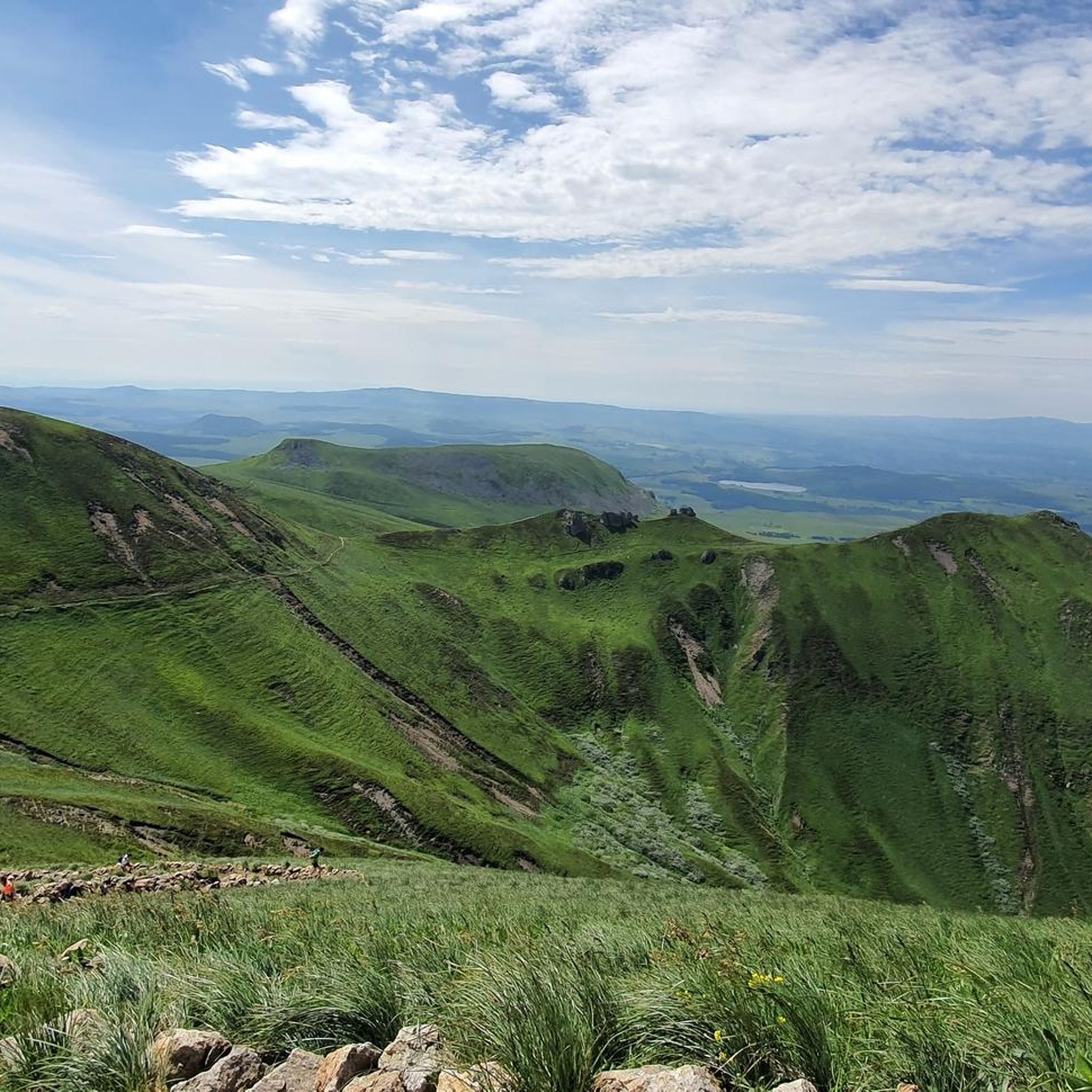
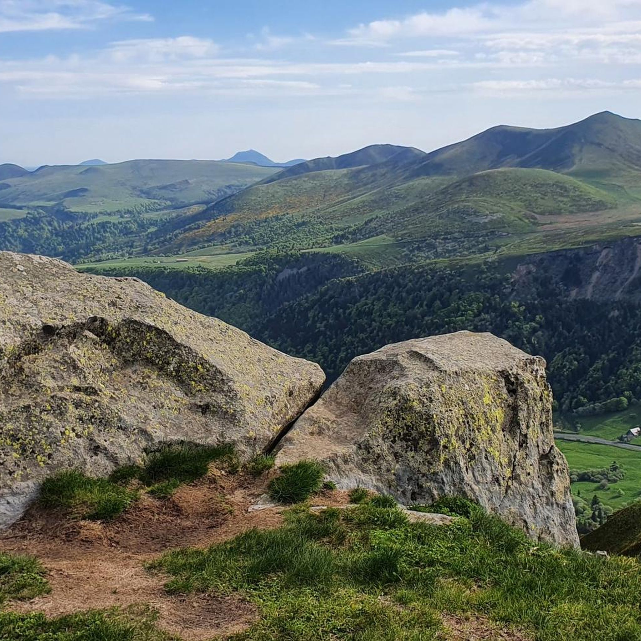
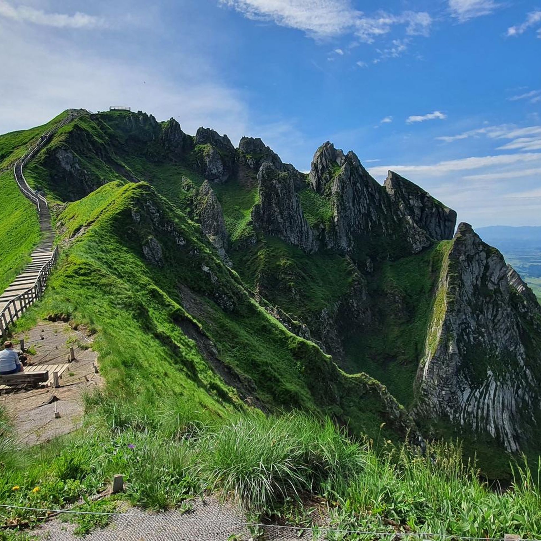
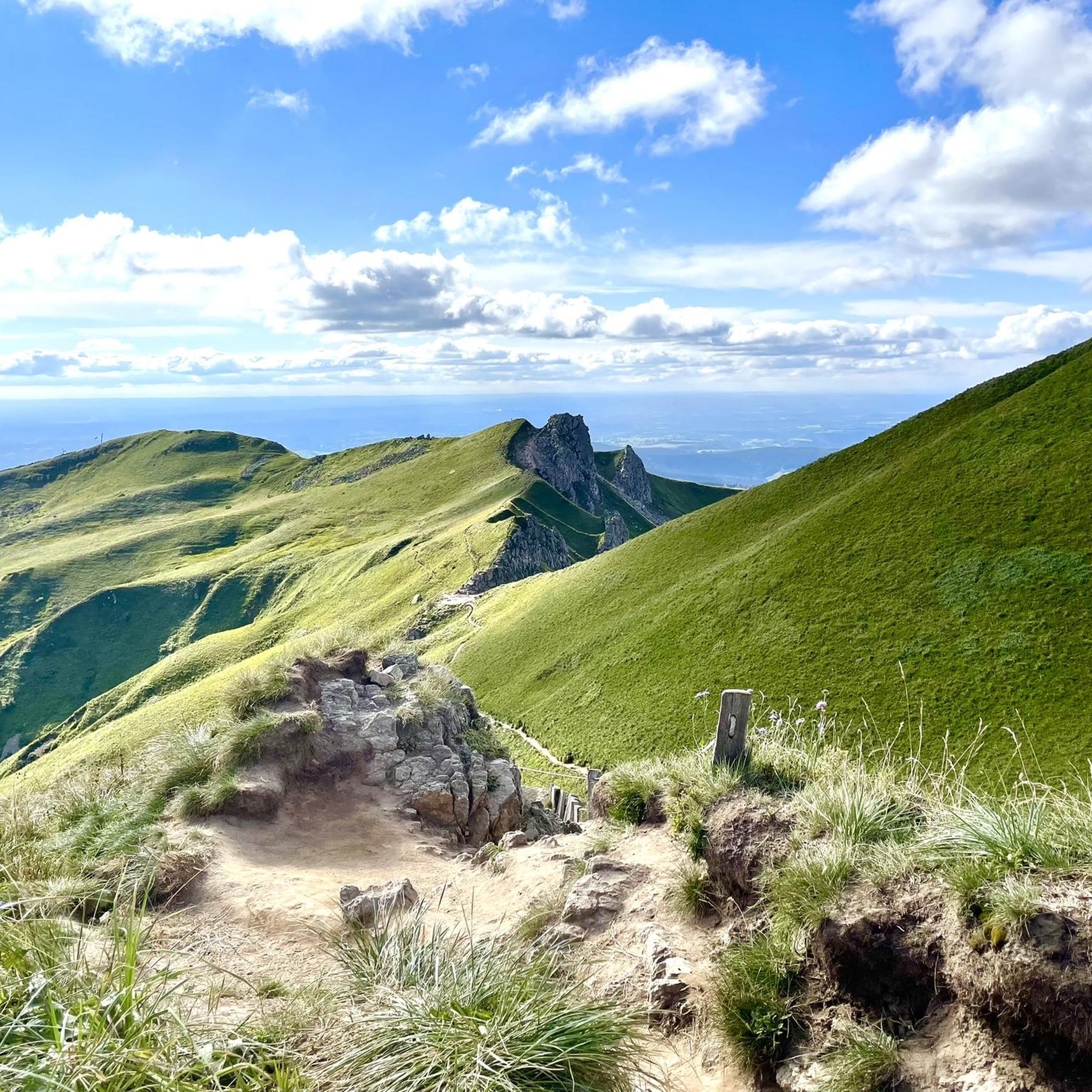
Hiking trails around Réserve naturelle de Chastreix-Sancy traverse a diverse landscape shaped by volcanic activity and glacial erosion in the Massif Central. The region features the Puy de Sancy, the highest peak in the Massif Central, along with a glacial cirque, verdant valleys, and peatland plateaus. Hikers encounter varied terrain, including alpine meadows, spruce and beech forests, and geological formations such as phonolitic domes and basaltic dikes.
Best hiking trails around Réserve naturelle de Chastreix-Sancy
- The most popular hiking route is Puy de Sancy – Courre Pass loop from Puy de Sancy, a 6.7 miles (10.8 km) trail that takes 4 hours 4 minutes to complete. This route offers views of the Sancy massif and its surrounding valleys.
- Another top favourite among local hikers is Stunning view towards the Sancy – Courre Pass loop from Puy de Sancy, a moderate 4.0 miles (6.5 km) path. This trail provides expansive vistas across the volcanic landscape.
- Local hikers also love the Puy de Sancy – Crêtes du Sancy loop from Puy de Sancy, a 2.9 miles (4.6 km) trail leading through the crêtes du Sancy, often completed in about 1 hour 34 minutes.
- Hiking around Réserve naturelle de Chastreix-Sancy is defined by high volcanic peaks, deep glacial valleys, and extensive alpine meadows. The network of routes offers options for various ability levels, from easy walks to more challenging ascents.
- The routes in Réserve naturelle de Chastreix-Sancy are highly rated by the komoot community with an average score of 4.5 stars from more than 4,000 reviews. More than 38,000 hikers have used komoot to explore Réserve naturelle de Chastreix-Sancy's varied terrain.
Last updated: August 23, 2026
4.8
(58)
624
hikers
5.86km
02:21
460m
460m
Moderate hike. Good fitness required. Easily-accessible paths. Suitable for all skill levels.
4.5
(17)
145
hikers
4.22km
01:27
170m
170m
Moderate hike. Great for any fitness level. Mostly accessible paths. Sure-footedness required.

Sign up for free
5.0
(1)
12
hikers
3.00km
01:08
180m
180m
Moderate hike. Great for any fitness level. Mostly accessible paths. Sure-footedness required.
5.0
(1)
6
hikers
5.95km
02:33
510m
510m
Moderate hike. Good fitness required. Mostly accessible paths. Sure-footedness required.
3.7
(3)
20
hikers
Moderate hike. Good fitness required. Mostly accessible paths. Sure-footedness required.
Get access to more routes and recommendations from other explorers.
Sign up for free
Already have an account?
Our route recommendations are based on thousands of hikes, rides, and runs completed by other people on komoot.
Start today with a free account
Your next adventure awaits.
Login or Signup
Popular around Réserve naturelle de Chastreix-Sancy
MTB Trails around Réserve naturelle de Chastreix-Sancy
Running Trails around Réserve naturelle de Chastreix-Sancy
Road Cycling Routes around Réserve naturelle de Chastreix-Sancy
Cycling around Réserve naturelle de Chastreix-Sancy

Gravel biking around Réserve naturelle de Chastreix-Sancy

Mountain Hikes around Réserve naturelle de Chastreix-Sancy
Tips from the Community

you have to have ridden it to understand
0
0

Panoramic view as far as the eye can see
0
0

This is a popular hiking area in the Auvergne Volcanoes Nature Park. Those who want to hike in nature should set off early.
1
0


Very impressive prospects, good to go.
0
0
Very impressive prospects, good to go.
1
0
Frequently Asked Questions
How many hiking trails are available in Réserve naturelle de Chastreix-Sancy?
The Réserve naturelle de Chastreix-Sancy offers a network of over a dozen hiking trails. These routes cater to various skill levels, from easy walks to more challenging ascents, allowing you to explore the diverse volcanic and glacial landscapes of the Massif Central.
What types of landscapes can I expect to see while hiking in Réserve naturelle de Chastreix-Sancy?
Hikers in Réserve naturelle de Chastreix-Sancy will encounter a stunning variety of landscapes. These include the craggy peaks of Puy de Sancy, the highest point in the Massif Central, as well as the magnificent Cirque de la Fontaine Salée, a glacial cirque with significant wetlands. You'll also find verdant valleys, peatland plateaus, alpine meadows, and dense spruce and beech forests, all shaped by ancient volcanic activity and glacial erosion.
Are there any easy hiking routes suitable for beginners or families in Réserve naturelle de Chastreix-Sancy?
Yes, while many routes are moderate, there are options suitable for beginners and families. The reserve's extensive network includes trails with varied difficulty levels. For instance, the region offers shorter itineraries around the east or west of the massif, and you can find one easy route among the listed trails.
What are some notable viewpoints or attractions along the hiking trails?
The region is rich in natural attractions and viewpoints. You can experience breathtaking panoramic views from Puy de Sancy itself. Other notable spots include Courre Pass and the Puy de Cliergue and Hor rock ridge, which offer expansive vistas across the volcanic landscape. The reserve also features scenic waterfalls like the Cascade des Essarts.
Are there any circular hiking routes in Réserve naturelle de Chastreix-Sancy?
Yes, many of the trails in Réserve naturelle de Chastreix-Sancy are circular, allowing you to start and end at the same point. An example is the Haut Mont Dore resort – Puy de Sancy loop from Puy de Sancy, which offers a moderate 3.0 km hike. The 'Boucle Sancy' also provides options for multi-day loops.
Can I bring my dog on the hiking trails in Réserve naturelle de Chastreix-Sancy?
Yes, dogs are generally permitted on many trails within the Réserve naturelle de Chastreix-Sancy, provided they are kept on a leash. For example, the GR30 long-distance itinerary, which explores the summits of the Massif du Sancy, can be used with dogs. Always check specific trail regulations before heading out.
What is the best time of year to go hiking in Réserve naturelle de Chastreix-Sancy?
The best time to hike in Réserve naturelle de Chastreix-Sancy is typically from late spring through early autumn (May to October) when the weather is milder and the alpine meadows are adorned with wildflowers. Summer offers the warmest temperatures, while autumn brings vibrant foliage. Winter hiking is possible but requires appropriate gear and experience due to snow and colder conditions.
What do other hikers say about the trails in Réserve naturelle de Chastreix-Sancy?
The hiking experience in Réserve naturelle de Chastreix-Sancy is highly regarded by the komoot community, with an average rating of 4.5 stars from over 4,000 reviews. Hikers often praise the stunning panoramic views, the diverse topography ranging from peaks to valleys, and the well-maintained network of trails that cater to various abilities.
Are there any long-distance hiking routes that pass through the reserve?
Yes, the Réserve naturelle de Chastreix-Sancy is traversed by sections of the GR4 and GR30 long-distance itineraries. These routes offer opportunities for multi-day treks, allowing hikers to explore the summits of the Massif du Sancy and experience the region's diverse landscapes over an extended period.
Where can I find more information or start my hike in the reserve?
A key starting point and information center for planning your hikes is the Maison de la Réserve Naturelle Nationale de Chastreix-Sancy, located in the village of Chastreix. This is an excellent resource for maps, local advice, and details on current trail conditions.
What kind of wildlife might I encounter while hiking in Réserve naturelle de Chastreix-Sancy?
The reserve is a haven for biodiversity. While hiking, you might spot a variety of animal species, including agile chamois, mouflons, and marmots. Birdwatchers may be lucky enough to see a majestic golden eagle or the elusive capercaillie. The flora is also exceptionally rich, with over 1,000 recorded species, including rare and endemic plants.
Are there routes that lead to the sources of the Dordogne River?
Yes, you can hike to the sources of the Dordogne River within the region. A notable route is the Sources of the Dordogne River – Puy de Sancy loop from Puy de Sancy, a moderate 6.2 km trail that allows you to explore this significant natural feature.
Most popular routes around Réserve naturelle de Chastreix-Sancy
Most popular attractions around Réserve naturelle de Chastreix-Sancy

Get inspired with the komoot mobile app


Explore more
Browse the best Hikes in other regions.
