The best running trails around Navacarros
562
runners
86
runs
Jogging around Navacarros offers a diverse landscape for runners, characterized by its position within natural spaces and proximity to reservoirs and historical towns. The region features varied terrain, from the elevated areas of the Sierra de Candelario Natural Space to routes offering views of the Embalse de Navamuño. These paths provide opportunities to experience both natural beauty and cultural landmarks.
Best jogging routes around Navacarros
- The most popular jogging route is Black Canchal via Las Cobatillas – circular running in…
Last updated: November 2, 2026
1
runners
Hard run. Very good fitness required. Sure-footedness, sturdy shoes and alpine experience required.
27
runners
19.7km
02:05
210m
210m
Hard run. Very good fitness required. Mostly paved surfaces.

25
runners
16.3km
01:59
660m
660m
Hard run. Very good fitness required. Sure-footedness, sturdy shoes and alpine experience required.
16
runners
18.0km
01:59
380m
380m
Hard run. Very good fitness required. Mostly paved surfaces.
13
runners
41.4km
07:01
2,130m
2,130m
Hard run. Very good fitness required. Sure-footedness, sturdy shoes and alpine experience required.
Get access to more routes and recommendations from other explorers.
Already have an account?
Our route recommendations are based on thousands of hikes, rides, and runs completed by other people on komoot.
Start today with a free account
Your next adventure awaits.
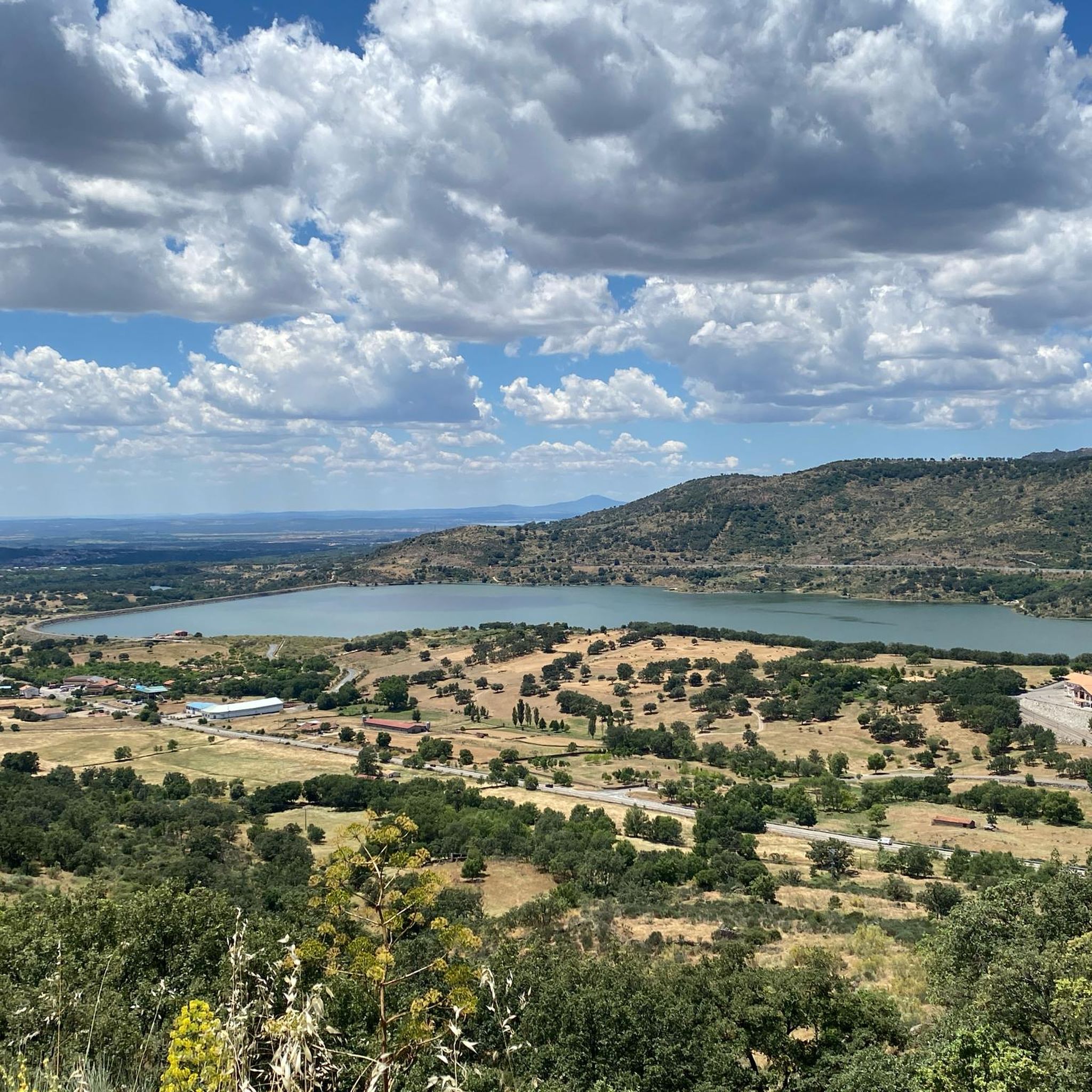
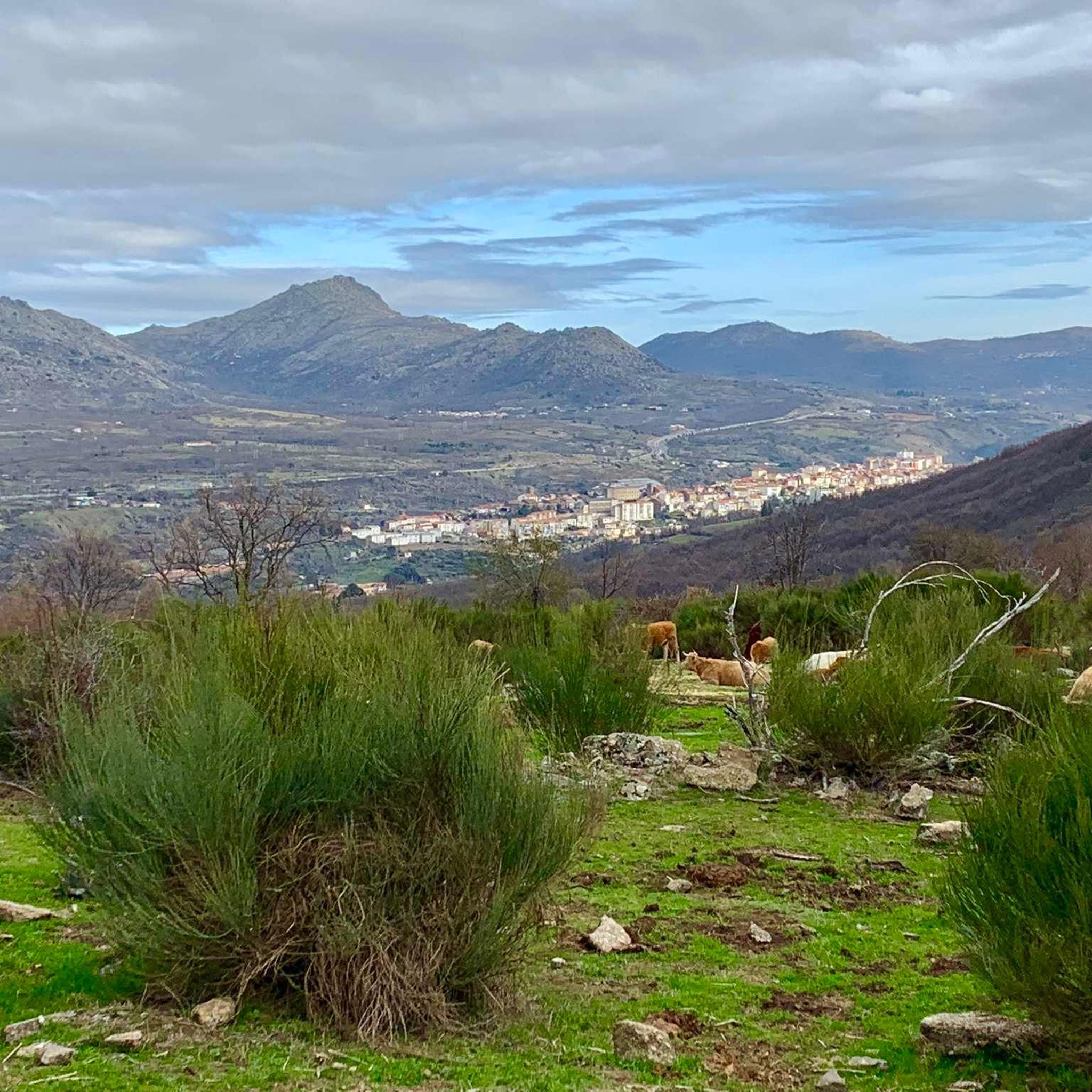
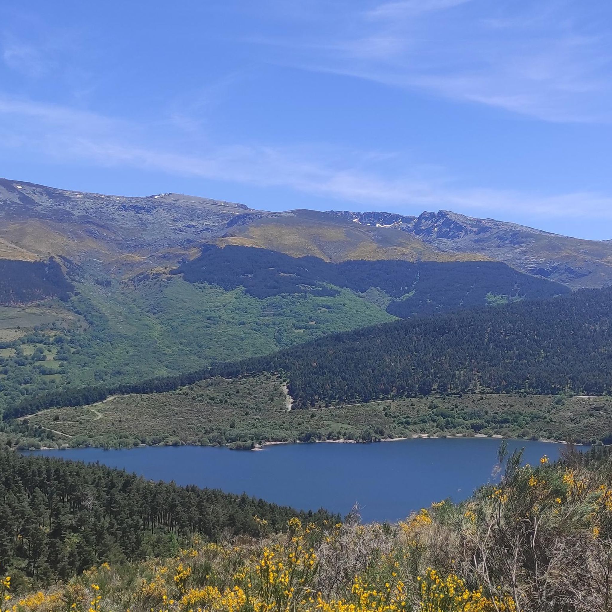
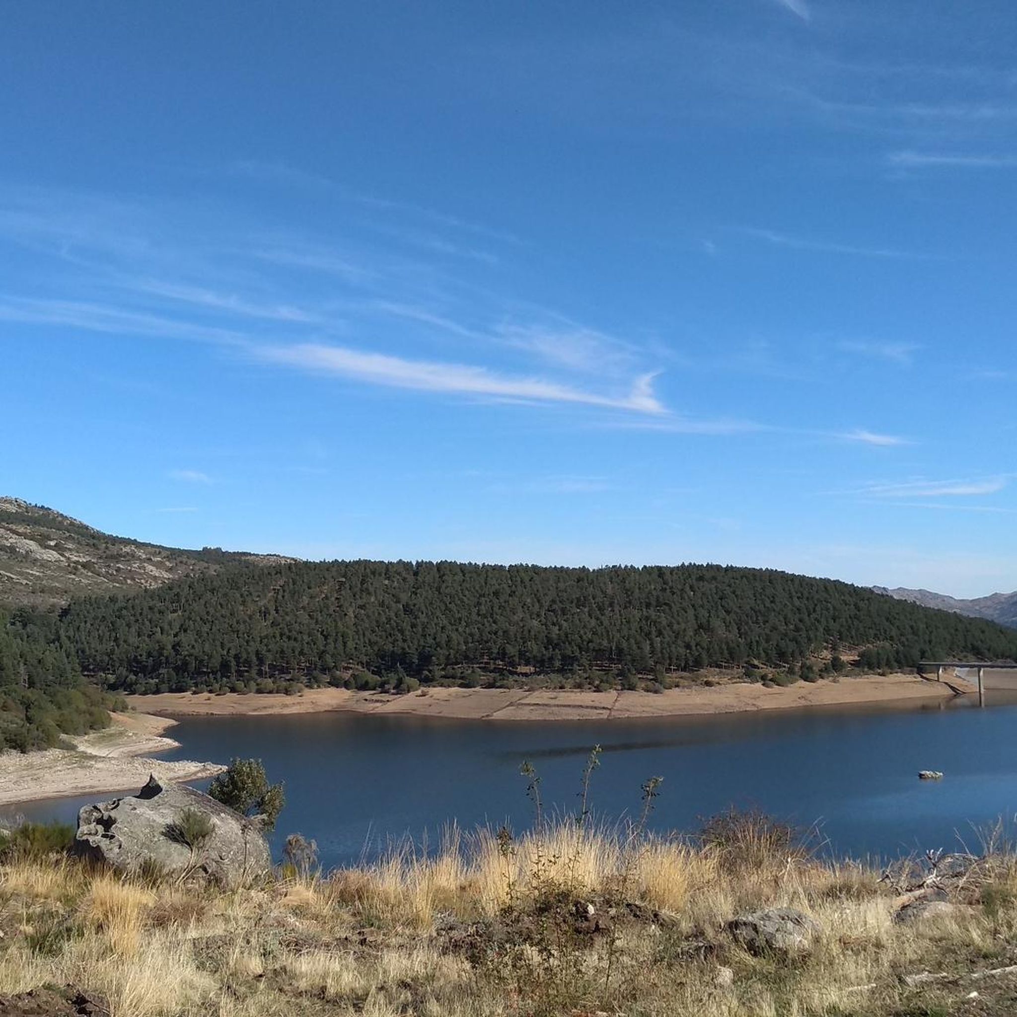

Tips from the Community


The Silver Route (Vía Verde de la Plata) in the Port of Béjar is part of the old Astorga–Plasencia railway line, now a nature trail for hiking and cycling. Don't miss the Little Station: a bar/restaurant in the old station, with a terrace and railway atmosphere (open during tourist season).
5
0

The bullring of the city of Béjar, in the province of Salamanca (Spain), better known as La Ancianita, is the oldest bullring preserved in Spain, inaugurated in 1711.2 Located on the Castañar mountain next to the Sanctuary of the Virgen del Castañar, two kilometers from Béjar.3
0
0
At a distance of just 2 km from the Collado de Los Buitres mountain pass, a good area to enjoy nature and breathe fresh air.
7
0

Béjar is a Historical-Artistic city with many important buildings and monuments along narrow streets and large squares. The jewel is the Ducal Palace Palace from the 16th century belonging to the order of the Zúñiga family. Stop at the Plaza Mayor for a drink and a bite to eat.
1
0

Section of road that is located at 1080 meters and where it is possible to make a stop and refill the water bottle. If necessary, rest a bit...
0
0
Viewpoint that is located above the town of Béjar and offers incredible views of the whole valley!
0
0

This picturesque section of the Vía de la Plata runs through a beautiful landscape of the Sierra de Béjar and connects the town of Puerto de Béjar with Béjar rolling along a gravel track in perfect condition and without any technical difficulty.
2
1
Frequently Asked Questions
How many running routes are available around Navacarros?
There are over 60 running routes around Navacarros documented on komoot, offering a wide range of options for different fitness levels and preferences.
Are there easy running paths for beginners in Navacarros?
While the region is known for its challenging terrain, there is at least one easy running route available. The majority of routes are classified as moderate or difficult, so beginners should carefully check route details before heading out.
What are the typical lengths of running routes in the Navacarros area?
Running routes around Navacarros vary significantly in length. For example, the Black Canchal via Las Cobatillas route is about 8.7 km (5.4 miles), while longer options like the Canchal de la Ceja – Torreón (Calvitero Summit) loop extend to over 42 km (26 miles).
Are there any circular running trails near Navacarros?
Yes, many running routes in the area are circular. A popular option is the Black Canchal via Las Cobatillas – circular running in the Sierra de Candelario Natural Space, which offers a challenging loop through a significant natural area.
What kind of scenery can I expect on running trails around Navacarros?
The running trails around Navacarros offer diverse scenery, from the elevated areas of the Sierra de Candelario Natural Space to routes with views of the Embalse de Navamuño. You can expect a mix of natural beauty, reservoirs, and cultural landmarks.
Are there any interesting landmarks or attractions along the running routes?
Yes, several routes pass by notable landmarks. For instance, the La Ancianita bullring – Views on the embalse de Navamuño loop from Béjar route offers scenic views of the reservoir and passes a local bullring. You might also encounter highlights like the Béjar Station and Vía de la Plata Tunnel or the Ermita del Humilladero.
Can I find running routes with viewpoints in Navacarros?
Absolutely. Many routes offer stunning viewpoints, showcasing the region's natural beauty. The Plaza Mayor of Béjar – Ventorro Pelayo Viewpoint loop from Béjar is a great example, leading through urban and natural landscapes with scenic vistas.
What do other runners enjoy most about jogging in Navacarros?
The komoot community highly values the diverse landscape and the mix of challenging and moderate routes available. Runners often praise the opportunities to experience both natural beauty and cultural landmarks, with over 300 users having explored the varied terrain.
Are there running routes that pass by lakes or reservoirs?
Yes, the region features routes that offer views of reservoirs. The Navamuño Reservoir – Candelario Town Hall loop from Candelario is an excellent option for those looking to run alongside water, providing views of the Navamuño Reservoir.
What is the best time of year for running in Navacarros?
Navacarros offers a diverse landscape that can be enjoyed throughout the year. Spring and autumn generally provide milder temperatures, ideal for longer runs. Summer mornings are also pleasant, while winter can offer unique, crisp running conditions, especially in higher elevations.
Are there any family-friendly running routes in Navacarros?
While many routes are classified as difficult, there is at least one easy route available, which might be suitable for families or those looking for a less strenuous run. It's always recommended to check the specific route details and difficulty before planning a family outing.
Are there options for long-distance running or trail running in Navacarros?
Yes, Navacarros is well-suited for long-distance and trail running, with 42 routes classified as difficult. The Canchal de la Ceja – Torreón (Calvitero Summit) loop from Béjar, at over 42 km, is a prime example of a challenging, long-distance trail run in the area.
Most popular routes around Navacarros
Most popular attractions around Navacarros

Get inspired with the komoot mobile app


Explore more
Browse the best Running Trails & Routes in other regions.
