The best road cycling routes around Réserve Naturelle du Plan de Tueda
4.6
(142)
9,583
riders
39
rides
Road cycling around Réserve Naturelle du Plan de Tueda offers routes through a mountainous alpine landscape. The region is characterized by significant elevation gains, leading to high mountain passes and panoramic views. Cyclists can expect challenging climbs and descents, with routes often traversing valleys and forested sections. The terrain is well-suited for advanced road cycling, providing a diverse experience for those seeking demanding ascents.
Best road cycling routes around Réserve Naturelle du Plan de Tueda
- The most popular road cycling…
Last updated: July 1, 2026
4.8
(41)
1,517
riders
44.6km
03:01
1,450m
1,450m
Hard road ride. Very good fitness required. Mostly well-paved surfaces and easy to ride.
4.9
(8)
305
riders
36.5km
02:24
1,160m
1,160m
Hard road ride. Very good fitness required. Mostly well-paved surfaces and easy to ride.

Sign up for free
5.0
(1)
36
riders
16.1km
01:07
470m
470m
Moderate road ride. Good fitness required. Mostly well-paved surfaces and easy to ride.
21
riders
22.1km
01:21
580m
580m
Moderate road ride. Good fitness required. Mostly well-paved surfaces and easy to ride.
24
riders
15.1km
00:51
340m
340m
Moderate road ride. Good fitness required. Mostly well-paved surfaces and easy to ride.
Get access to more routes and recommendations from other explorers.
Sign up for free
Already have an account?
Our route recommendations are based on thousands of hikes, rides, and runs completed by other people on komoot.
Start today with a free account
Your next adventure awaits.
Login or Signup
Popular around Réserve Naturelle du Plan de Tueda
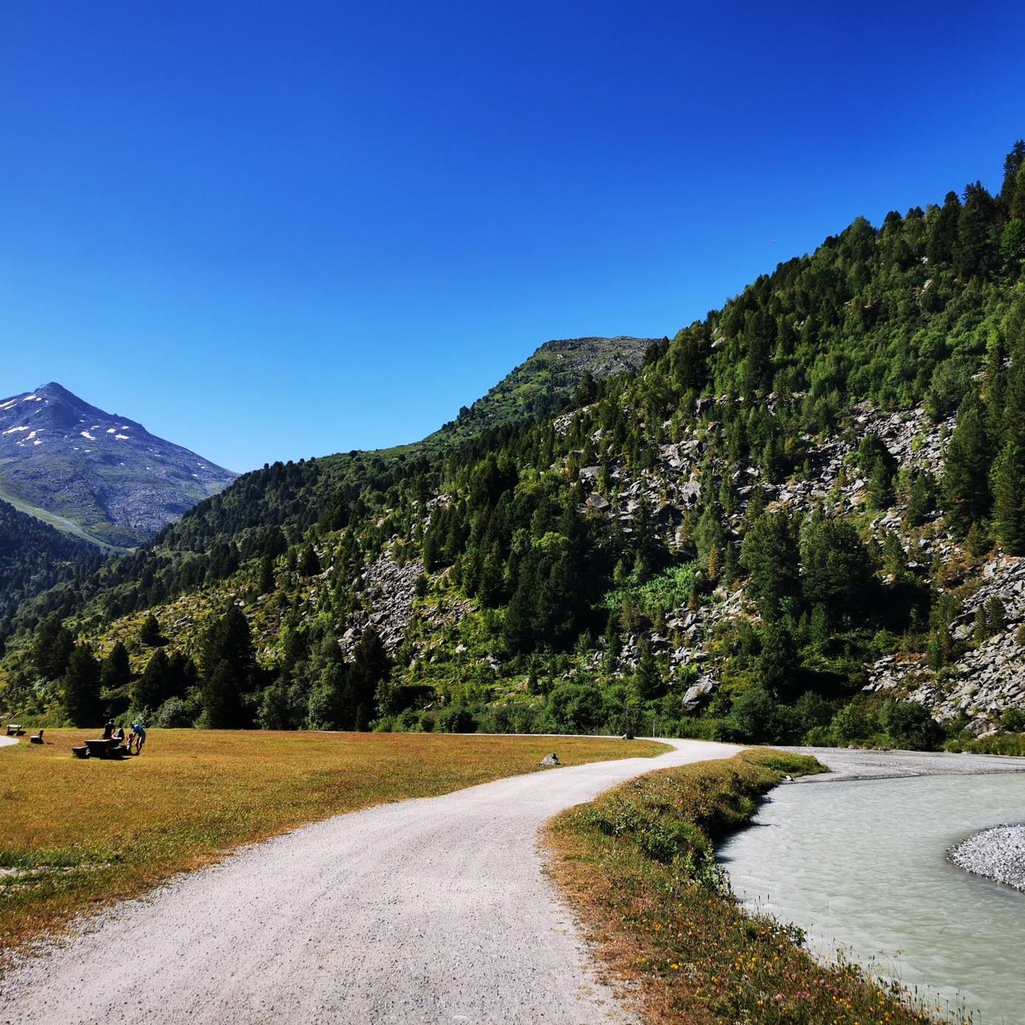
MTB Trails around Réserve Naturelle du Plan de Tueda
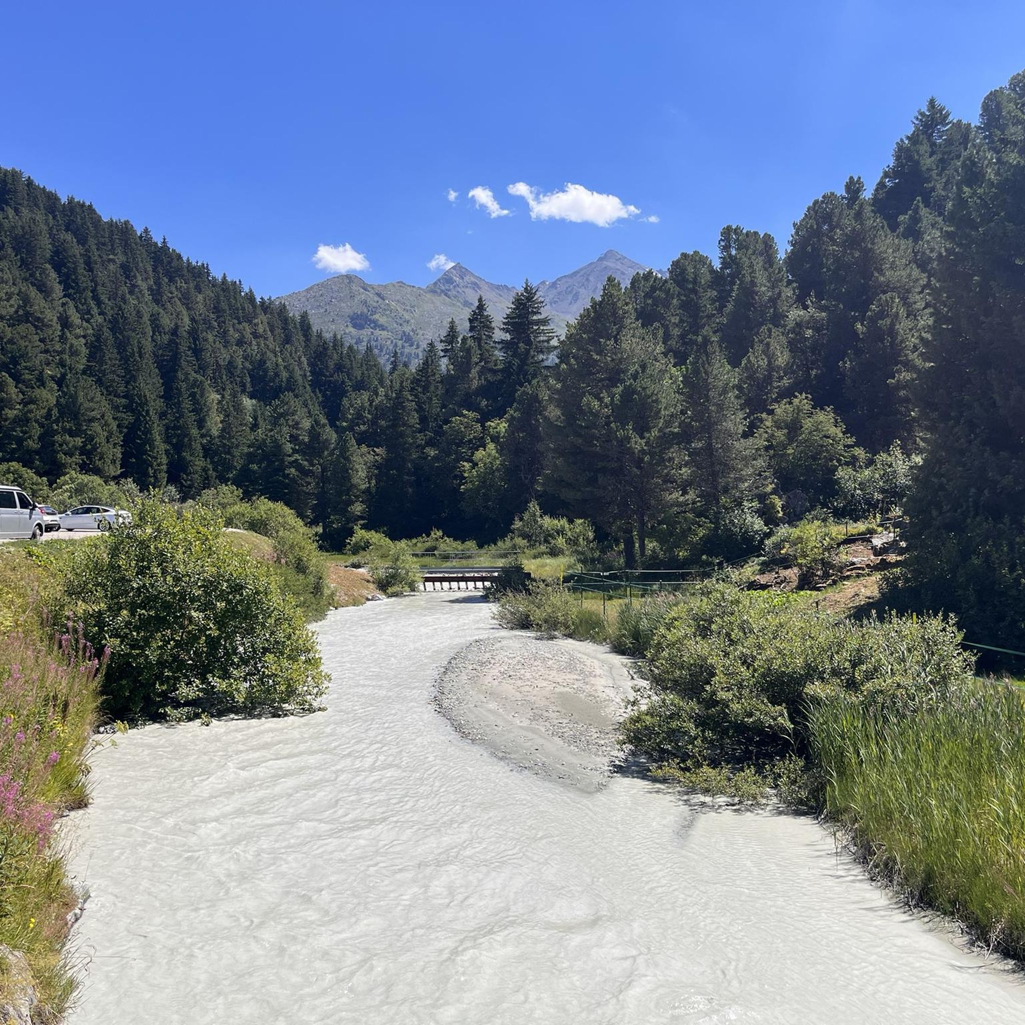
Running Trails around Réserve Naturelle du Plan de Tueda
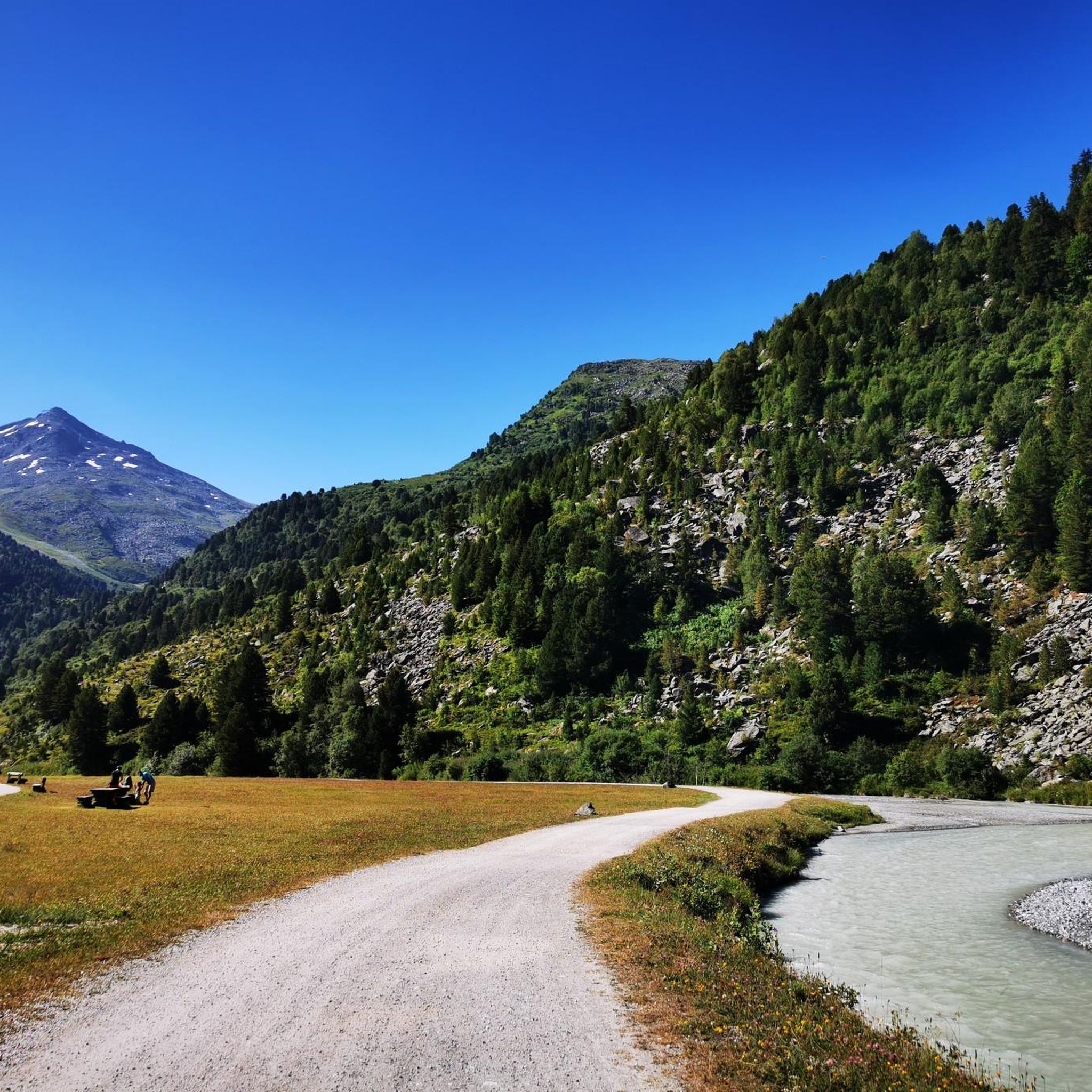
Cycling around Réserve Naturelle du Plan de Tueda
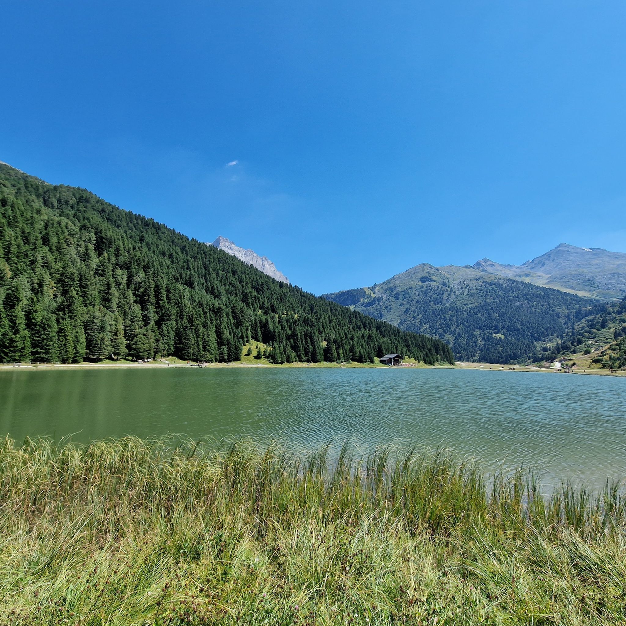
Hiking around Réserve Naturelle du Plan de Tueda

Gravel biking around Réserve Naturelle du Plan de Tueda
Mountain Hikes around Réserve Naturelle du Plan de Tueda
Tips from the Community

Beautiful cycle path, uneven climbs.
0
0
Path with cycle path and great views. Ascent partly uneven. More info: https://de.wikipedia.org/wiki/Col_de_la_Loze?wprov=sfla1
2
0
In winter probably a ski slope, in summer luckily a bike path.
2
0
Difficult for me to assess the place the first time, more of a winter area, luckily no huge hotel castles.
3
0
From here it becomes really beautiful, a cycle path to the pass. I only discovered it through the Tour de France. Today just the beginning, tomorrow the real thing.
3
0
Nice little resort town, many possibilities.
3
0

Only bicycles are allowed, no cars
7
0
The Col de la Loze is a 2304 meter high mountain pass in the French Alps
5
0
Frequently Asked Questions
How many road cycling routes are available in Réserve Naturelle du Plan de Tueda?
There are over 35 road cycling routes in the Réserve Naturelle du Plan de Tueda, offering a range of difficulties from easy to difficult. The network includes 1 easy route, 20 moderate routes, and 17 difficult routes, catering to various cycling preferences.
Are there any easy road cycling routes suitable for beginners or families in Réserve Naturelle du Plan de Tueda?
While the region is known for its challenging alpine terrain, there is one easy road cycling route available. For those seeking a less strenuous ride, the Méribel-les-Allues loop from Méribel-Mottaret is a moderate option that is shorter and has less elevation gain compared to the more difficult climbs.
What kind of challenges can I expect on advanced road cycling routes in this region?
Advanced road cycling routes in Réserve Naturelle du Plan de Tueda feature significant elevation gains and challenging climbs to high mountain passes. For example, the Col de la Loze Summit (2304 m) – Col de la Loze loop from Mussillon involves a substantial climb to a high alpine summit, demanding good fitness and experience.
What is the best time of year for road cycling in Réserve Naturelle du Plan de Tueda?
The best time for road cycling in Réserve Naturelle du Plan de Tueda is typically during the warmer months, from late spring to early autumn (roughly June to September). During this period, mountain passes are generally clear of snow, and weather conditions are more favorable for cycling in the high alpine environment.
Are there any circular road cycling routes in Réserve Naturelle du Plan de Tueda?
Yes, many of the road cycling routes in the region are designed as loops. Popular circular routes include the challenging Col de la Loze Summit (2304 m) – Col de la Loze loop from Mussillon and the Méribel-les-Allues – Brides-les-Bains loop from Mussillon, which offers a mix of ascents and descents through the Tarentaise Valley.
What are some scenic viewpoints or attractions along the road cycling routes?
Road cycling routes in the area often provide stunning alpine vistas. You can expect panoramic views of the Tarentaise Valley, as seen on routes like the View of the Tarentaise Valley – Méribel-les-Allues loop from Méribel-Mottaret. Other notable attractions nearby include Lake Tuéda and the impressive Col du Soufre and the Gébroulaz Glacier.
What do other road cyclists enjoy most about road cycling in Réserve Naturelle du Plan de Tueda?
The area is highly rated by the komoot community, with an average score of 4.6 stars from over 120 reviews. Cyclists often praise the challenging climbs to high mountain passes, the diverse terrain, and the rewarding panoramic views of the alpine landscape.
Are there any facilities like picnic areas or huts along the routes?
While specific facilities directly on every route may vary, the region does offer amenities. For instance, the Tueda Picnic Area is a convenient spot for a break, and the Refuge du Saut provides a mountain hut experience, often accessible from nearby trails.
What are the typical durations for road cycling routes in Réserve Naturelle du Plan de Tueda?
Route durations vary significantly based on distance and elevation. Shorter, moderate loops like the Méribel-les-Allues loop from Méribel-Mottaret can be completed in about 1 hour 7 minutes. More challenging routes, such as the Col de la Loze Summit (2304 m) – Col de la Loze loop from Les Brames, can take over 4 hours 30 minutes due to their length and significant climbs.
Is parking available near the starting points of road cycling routes?
Parking is generally available in the main villages and resorts within and around Réserve Naturelle du Plan de Tueda, such as Mussillon or Méribel-Mottaret, which serve as common starting points for many routes. It's advisable to check local signage for specific parking regulations and availability.
What are the road conditions like during winter in Réserve Naturelle du Plan de Tueda?
During winter, road cycling conditions in Réserve Naturelle du Plan de Tueda become very challenging. Many high mountain passes and roads may be closed due to heavy snow, ice, or avalanche risk. Road cycling is generally not recommended in winter; the region is primarily a ski destination during these months.
Most popular routes around Réserve Naturelle du Plan de Tueda
Most popular attractions around Réserve Naturelle du Plan de Tueda

Get inspired with the komoot mobile app


Explore more
Browse the best Road cycling routes in other regions.
