Réserve naturelle de la Tour du Valat
Réserve naturelle de la Tour du Valat
The best walks and hikes around Réserve naturelle de la Tour du Valat
4.3
(90)
649
hikers
36
hikes
Hiking around Réserve naturelle de la Tour du Valat offers routes through the flat, marshy landscapes of the Camargue, characterized by lagoons, reed beds, and open water. This area is a significant wetland, providing a unique environment for birdwatching and wildlife spotting. The terrain is generally low-lying with minimal elevation changes, making many trails accessible and suitable for various fitness levels. Paths often follow dikes and tracks through the natural reserve, offering expansive views of the water and surrounding vegetation.
…Last updated: July 4, 2026
10
hikers
4.32km
01:05
0m
0m
Easy hike. Great for any fitness level. Easily-accessible paths. Suitable for all skill levels.
6
hikers
Easy hike. Great for any fitness level. Easily-accessible paths. Suitable for all skill levels.

Sign up for free
4.8
(14)
52
hikers
15.7km
03:57
10m
10m
Moderate hike. Good fitness required. Easily-accessible paths. Suitable for all skill levels.
4.9
(7)
46
hikers
15.2km
03:49
10m
10m
Moderate hike. Good fitness required. Easily-accessible paths. Suitable for all skill levels.
4.3
(4)
13
hikers
Hard hike. Very good fitness required. Easily-accessible paths. Suitable for all skill levels.
Get access to more routes and recommendations from other explorers.
Sign up for free
Already have an account?
Our route recommendations are based on thousands of hikes, rides, and runs completed by other people on komoot.
Start today with a free account
Your next adventure awaits.
Login or Signup
Popular around Réserve naturelle de la Tour du Valat

Tips from the Community

Great outing... watch out for mosquitoes (bring spray or lotion before leaving) From the Gacholle lighthouse, we headed towards Pointe de Beauduc (alone in the world with the flamingos... pure bliss)
0
0

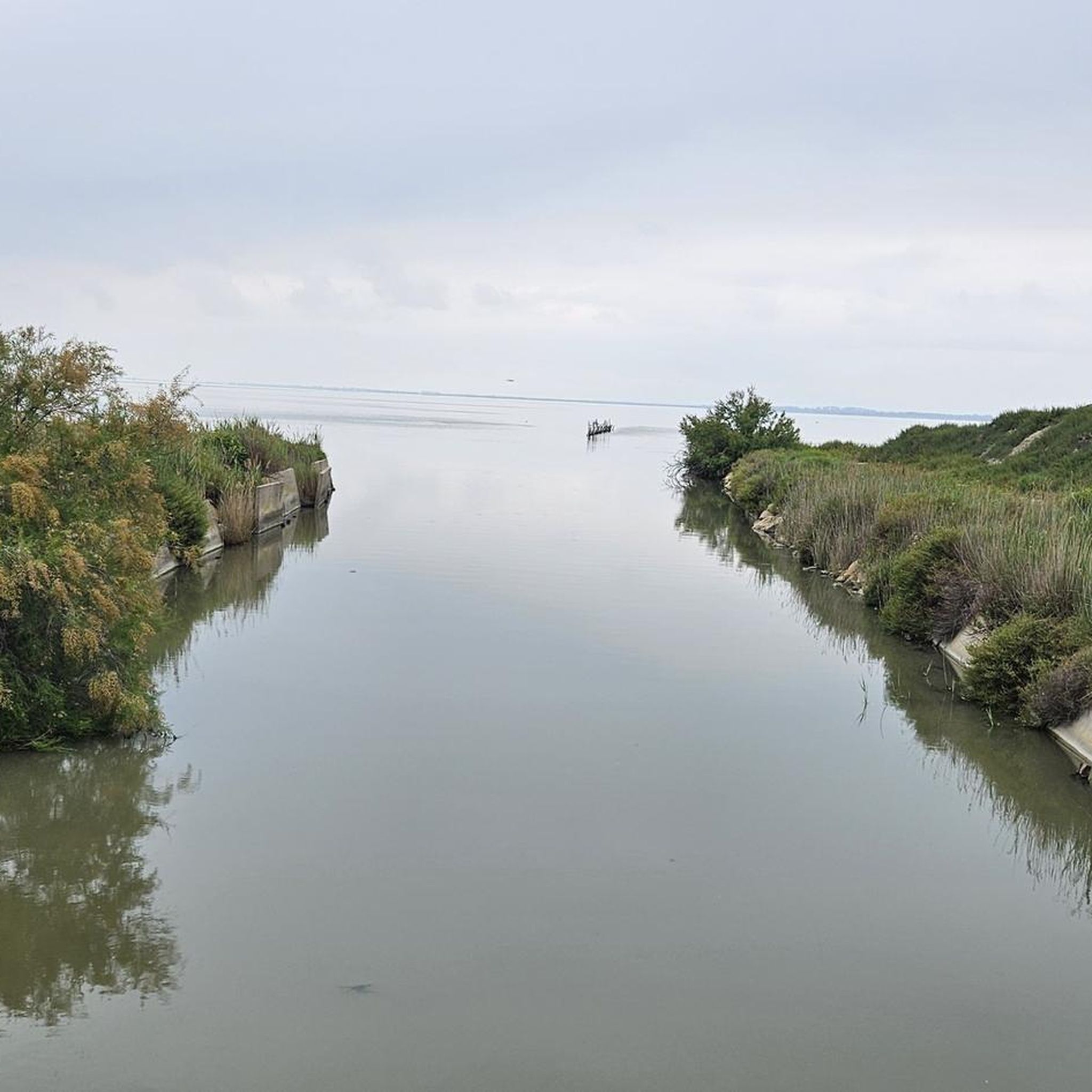
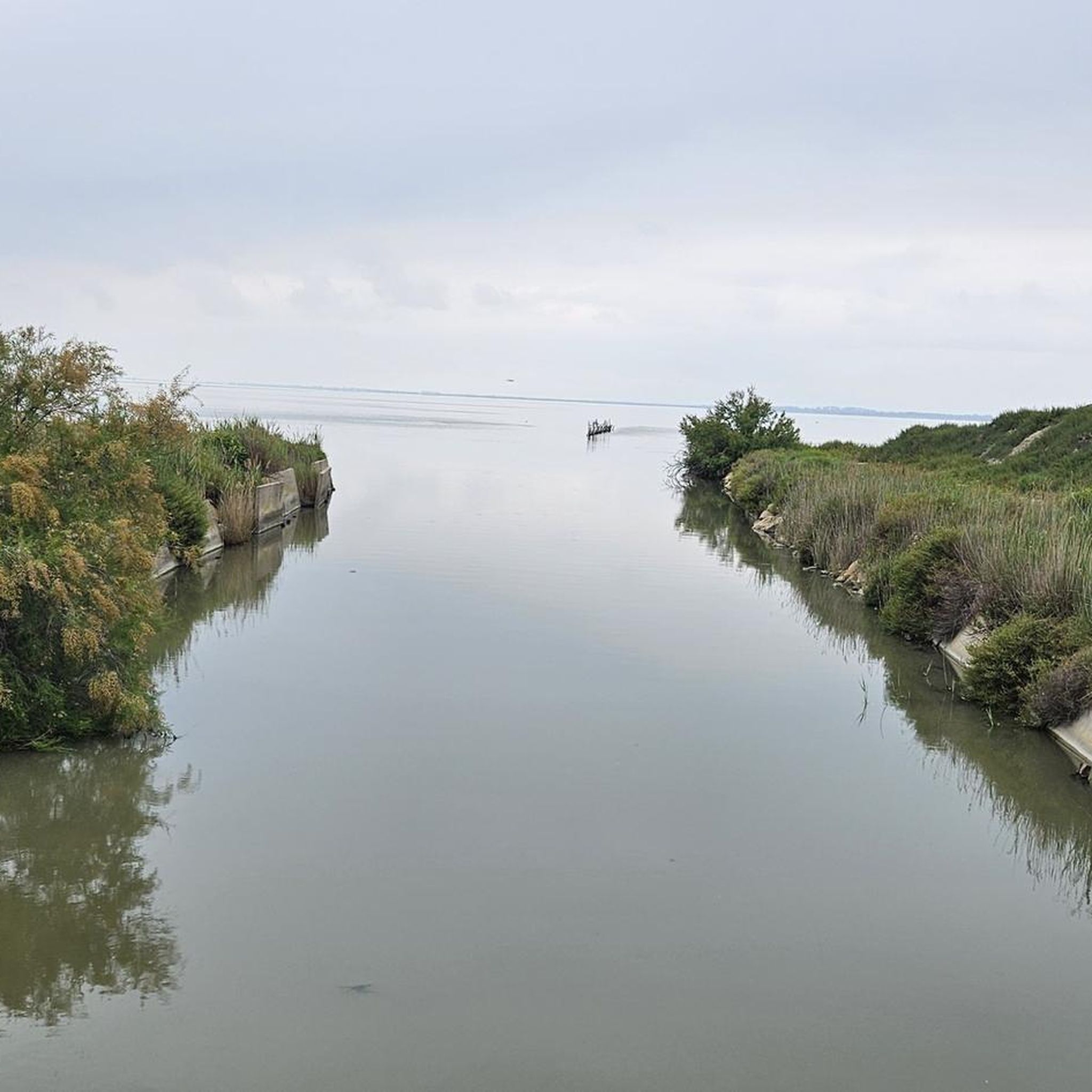
Built in 1859 to protect the Camargue from marine intrusions. Here the path goes around the Fangassier pond, a breeding ground for pink flamingos. The landscapes are magnificent and wild.
0
1

At the beginning of September, the small paths were unfortunately closed, so you have to drive several kilometers on the very, very potholed Digue à la Mer. You need a lot of patience to "drive" there in many zigzags. The small paths look very beautiful, but were unfortunately blocked off by a fence.
3
1

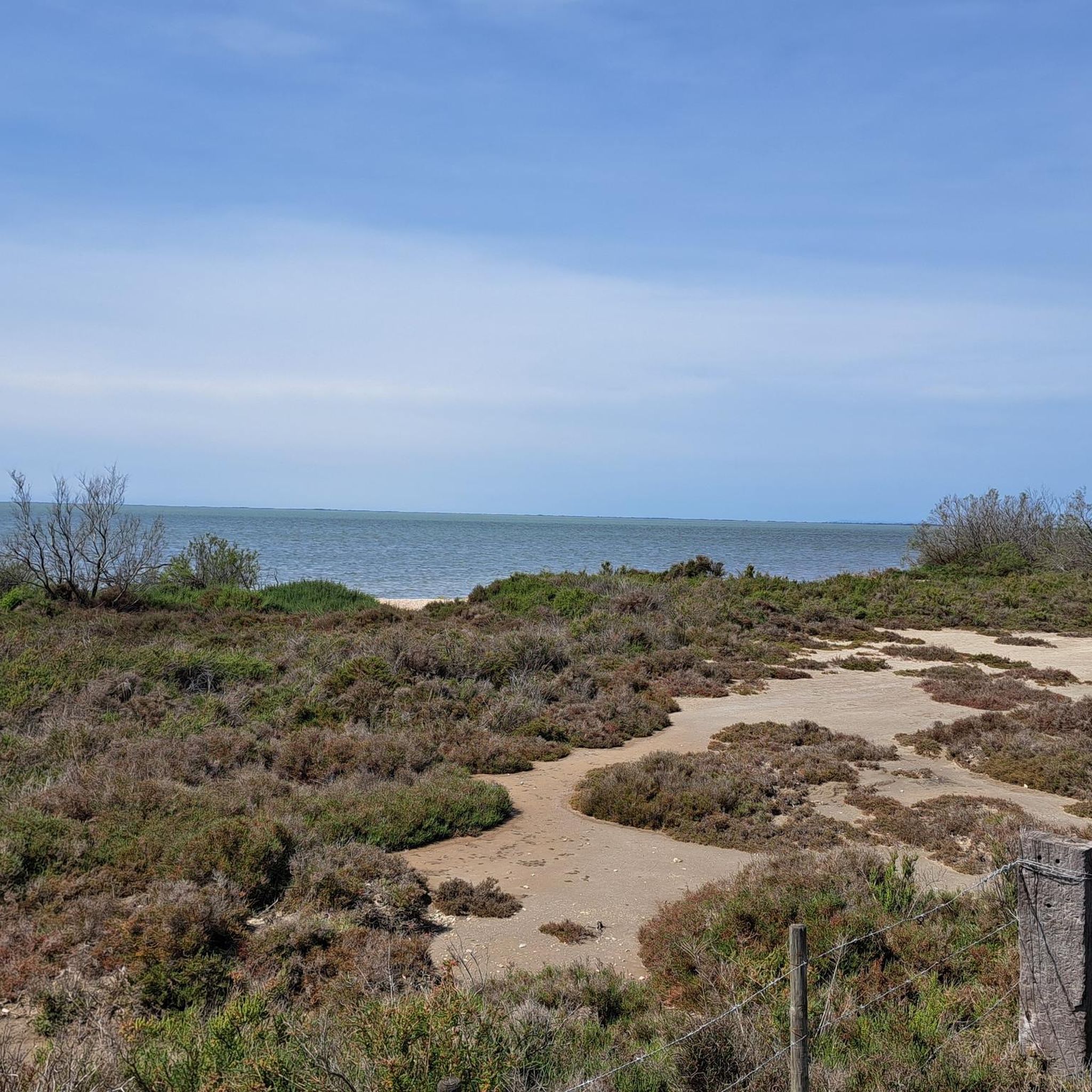
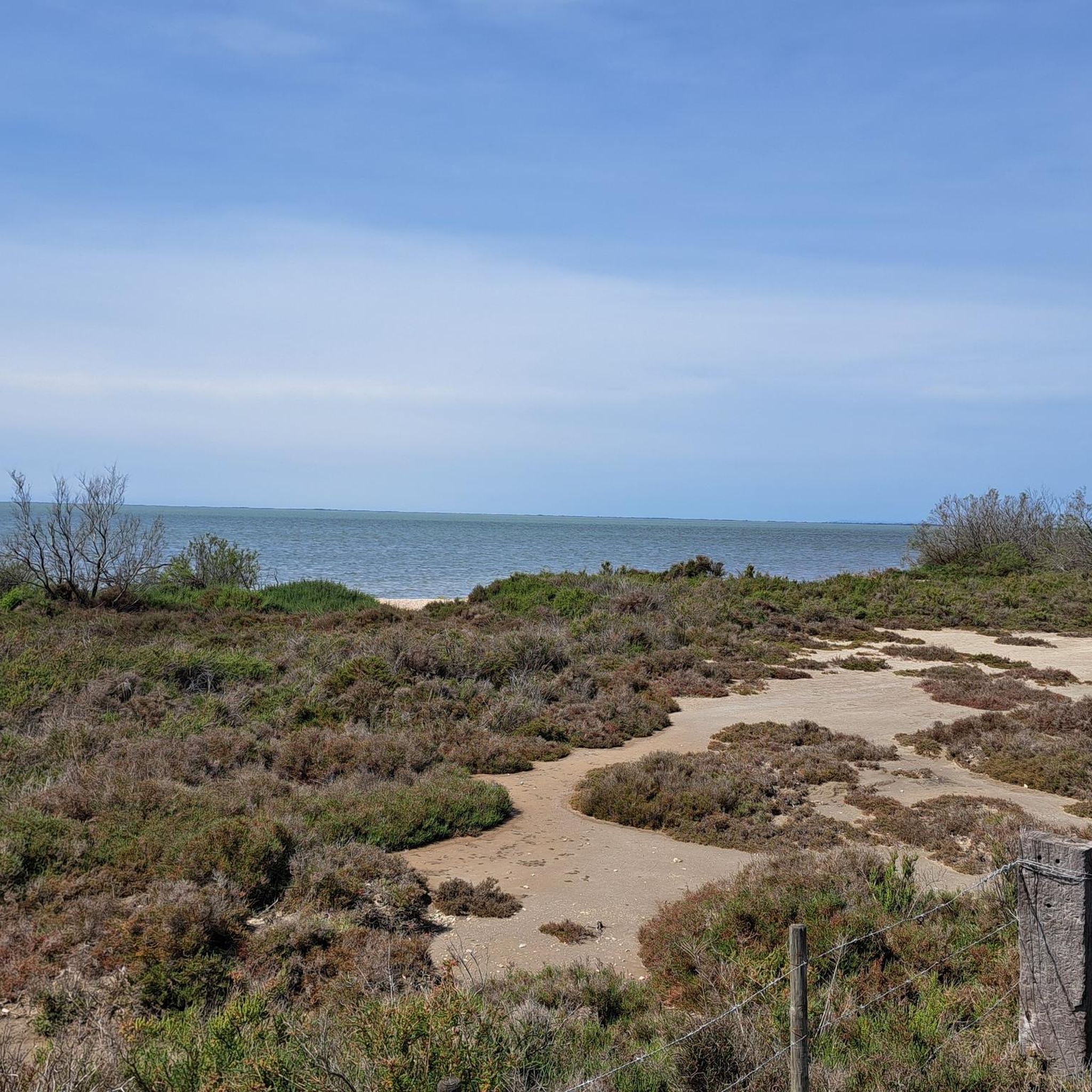
Very specific to the Camargue, the world of sansouires and salt marshes
0
0

The lighthouse of La Gacholle is located in the department of Saintes-Marie-de-la-Mer, in the Bouches-du-Rhône, on the sea dike, between the ponds of the Dame, the Tampan and Galabert. Built at the end of the 19th century to facilitate access to Beauduc's anchorage, it was partially destroyed during the Second World War and put back into service in 1948. The building has a square tower masonry, eighteen meters smooth high.
2
0
Caution can be challenging in headwinds.
1
0

You can drive a long way there by car, but the way over the dyke is a single mogul slope. Better to go by bike from Saintes Maries de la Mer. That's only 13 km. Apart from the lighthouse, which is really pretty, there is nothing else to see besides the landscape.
2
0
Frequently Asked Questions
How many hiking trails are there in Réserve naturelle de la Tour du Valat?
There are nearly 30 hiking trails available around Réserve naturelle de la Tour du Valat. The majority of these, 18 routes, are classified as easy, making the area very accessible for various fitness levels.
Are there easy hikes suitable for beginners in Réserve naturelle de la Tour du Valat?
Yes, the region is known for its flat, marshy landscapes, making it ideal for beginners. Many trails have minimal elevation changes. An excellent option is the La Palunette loop from Le Sambuc, an easy 2.4-mile (3.9 km) path that offers an immersive experience in the Camargue's natural setting.
Are there any circular walks in Réserve naturelle de la Tour du Valat?
Yes, many of the trails in the reserve are circular, allowing you to start and end at the same point. For example, the La Palunette – Le Pesquier loop from Le Sambuc is a popular 3.2-mile (5.1 km) circular route offering views of the wetland environment.
What is the best time of year to go hiking in Réserve naturelle de la Tour du Valat?
The best time to hike in Réserve naturelle de la Tour du Valat is typically in spring (March to May) and autumn (September to November). During these seasons, the weather is milder, and you can observe a greater variety of migratory birds. Summers can be very hot and humid, while winters are generally mild but can be damp.
Can I spot wildlife while hiking in Réserve naturelle de la Tour du Valat?
Absolutely. Réserve naturelle de la Tour du Valat is a significant wetland and a prime location for birdwatching and wildlife spotting. You can expect to see numerous bird species, including flamingos, herons, and egrets, as well as other Camargue wildlife like wild horses and bulls, especially along trails that pass near lagoons and reed beds.
Are the hiking trails in Réserve naturelle de la Tour du Valat suitable for families with children?
Yes, the flat and generally easy terrain makes many trails suitable for families. The minimal elevation changes mean children can often manage the distances comfortably. The opportunity to spot wildlife also adds an engaging element for younger hikers. Consider shorter loop trails like the Aussichtspunkt loop from Marais du Pèbre, which is 2.7 miles (4.3 km) long.
Are dogs allowed on the hiking trails in Réserve naturelle de la Tour du Valat?
Regulations regarding dogs in nature reserves can vary. It's generally advisable to check specific signage at trailheads or the official reserve website. If allowed, dogs are usually required to be on a leash to protect the local wildlife and natural environment.
What are the typical trail lengths and durations for hikes in the reserve?
Hikes in Réserve naturelle de la Tour du Valat vary, but many are relatively short to moderate. For instance, the Gacholle Lighthouse – Hike in the Camargue loop from Étang de la Vignolle is a moderate 9.8-mile (15.8 km) trail that takes around 4 hours to complete. Shorter options are also abundant, often taking 1-2 hours.
What do other hikers enjoy most about hiking in Réserve naturelle de la Tour du Valat?
The area is highly rated by the komoot community, with an average score of 4.3 stars from over 80 reviews. Reviewers often praise the unique wetland scenery, the abundance of wildlife, especially birds, and the peaceful, flat terrain that makes for relaxing walks. The well-maintained paths and clear views across the lagoons are also frequently highlighted.
Are there any longer, more challenging hikes available in the area?
While the region is predominantly flat, there are some longer routes that offer a more extended experience. For example, the Gacholle Lighthouse – Gacholle Lighthouse loop from Étang de la Vignolle is a moderate 6.4-mile (10.3 km) trail that provides a good distance for those looking for a longer outing without significant elevation gain.
Is there parking available at the trailheads for Réserve naturelle de la Tour du Valat?
Parking availability can vary depending on the specific trailhead. Many popular starting points, especially near visitor centers or villages like Le Sambuc, typically offer designated parking areas. It's always recommended to check the route details on komoot or local signage for specific parking information before you go.
Most popular routes around Réserve naturelle de la Tour du Valat

Get inspired with the komoot mobile app


Explore more
Browse the best Hikes in other regions.
