The best walks and hikes around Fuembellida
4.3
(47)
343
hikers
12
hikes
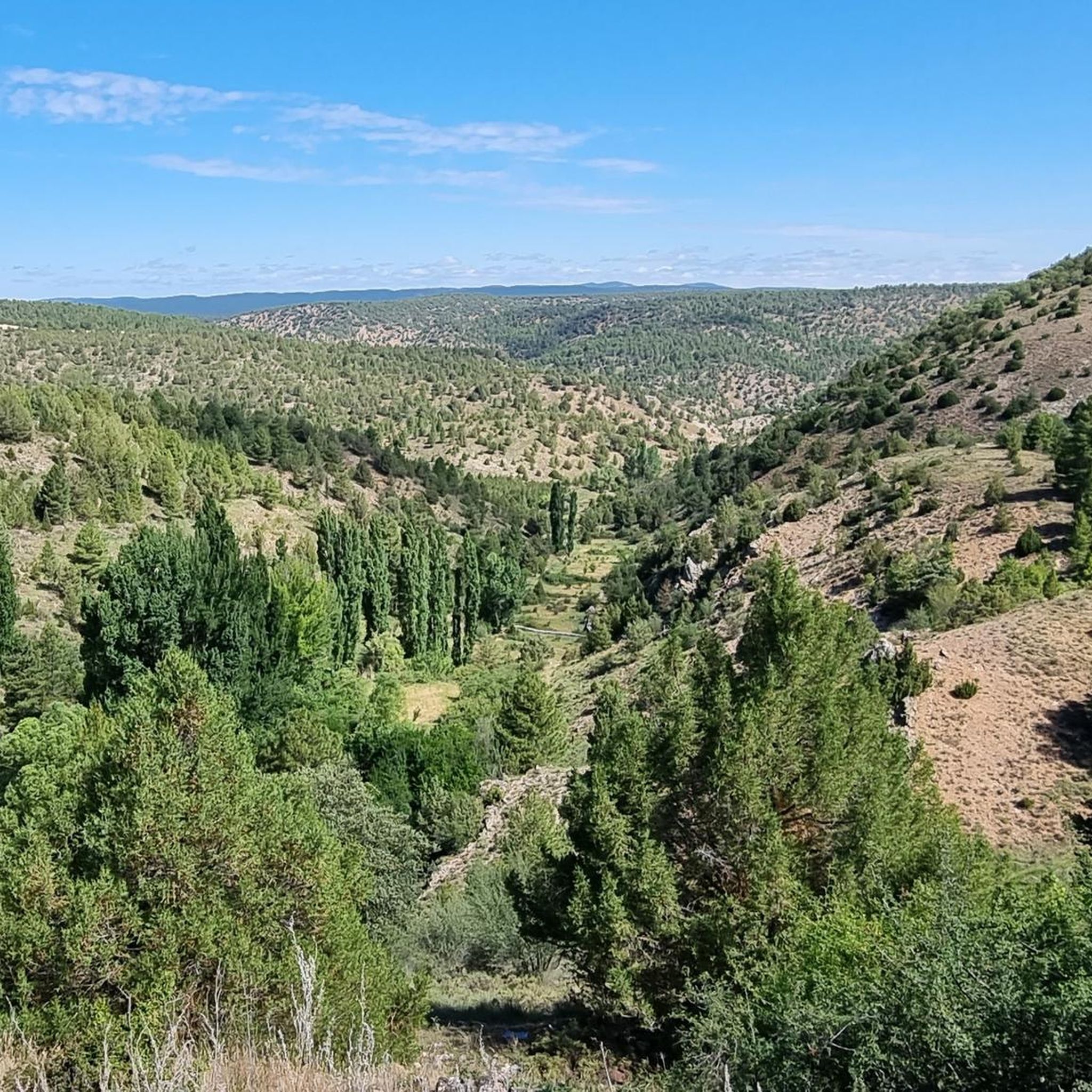
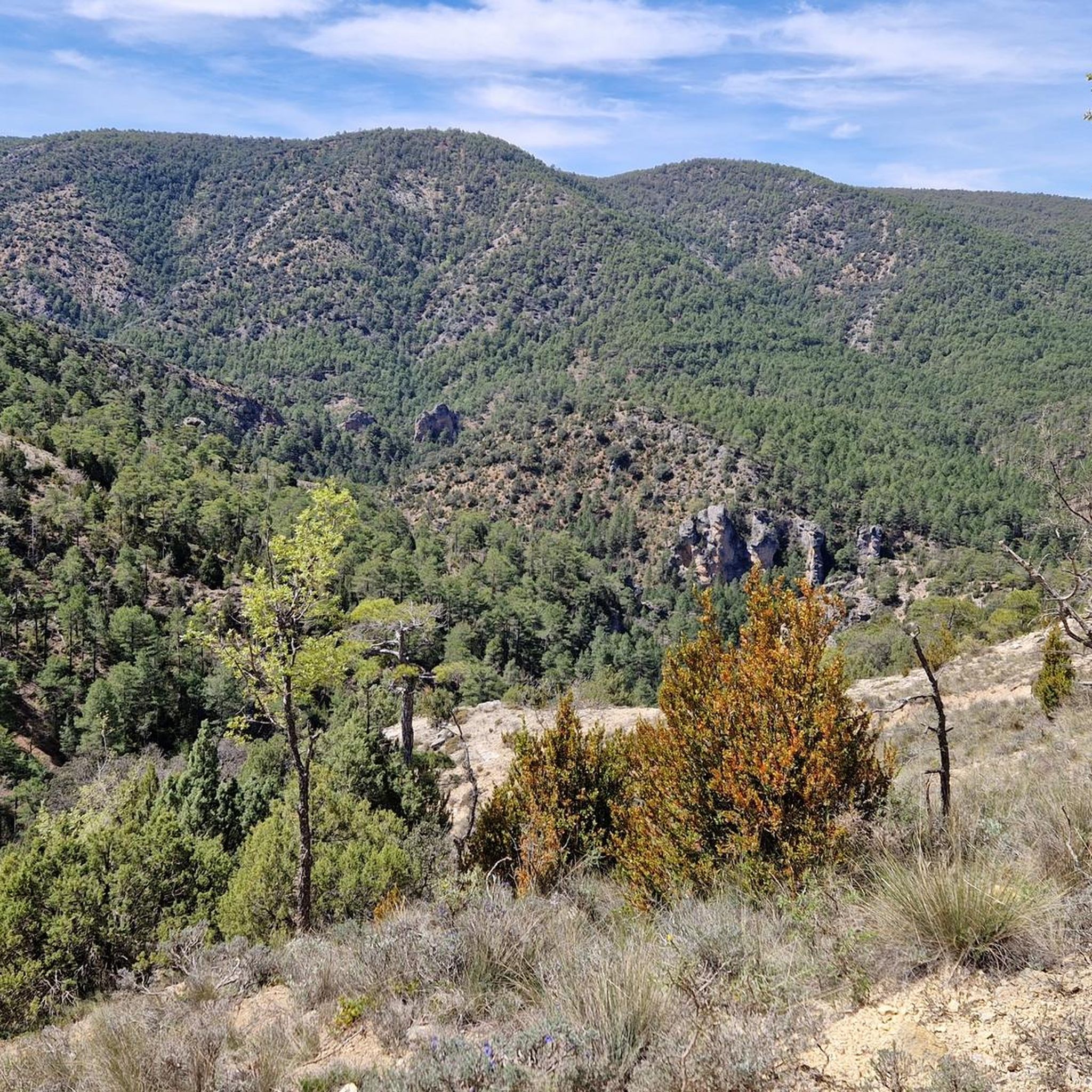
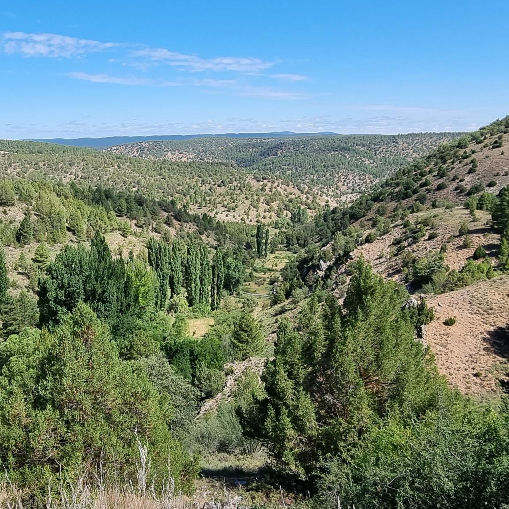
Hiking around Fuembellida offers access to the diverse landscapes of the Alto Tajo Natural Park, situated at an altitude between 1,200 and 1,300 meters. The terrain features extensive forests of juniper, holm oak, and pine, alongside valleys carved by watercourses and rugged ravines. High-altitude plateaus and river canyons provide varied experiences for hikers.
Best hiking trails around Fuembellida
- The most popular hiking route is Along the banks of the Tajo River to the Vado de Salmeron recreational area — Alto Tajo Natural Park, a 7.8 miles (12.6 km) trail that takes 3 hours 24 minutes to complete, following the Tajo River through the natural park.
- Another top favourite among local hikers is Cabrillas Valley Trail, a moderate 11.0 miles (17.7 km) path. This route explores the scenic valleys and forested areas characteristic of the region.
- Local hikers also love the View of Barranco de la Hoz – Cave of the Way of the Cross loop from Corduente, a 5.8 miles (9.3 km) trail leading through ravines and offering historical points of interest, often completed in about 2 hours 40 minutes.
- Hiking around Fuembellida is defined by extensive pine and holm oak forests, river canyons, and high-altitude plateaus. The network offers options for different ability levels, from moderate walks to more challenging routes.
- The routes in Fuembellida are highly rated by the komoot community with an average score of 4.3 stars from over 44 reviews. More than 331 hikers have used komoot to explore Fuembellida's varied terrain.
Last updated: May 20, 2026
2
hikers
17.7km
04:57
340m
340m
Moderate hike. Good fitness required. Easily-accessible paths. Suitable for all skill levels.
4
hikers
Moderate hike. Good fitness required. Easily-accessible paths. Suitable for all skill levels.

Sign up for free
4.5
(11)
75
hikers
Moderate hike. Good fitness required. Easily-accessible paths. Suitable for all skill levels.
4.0
(5)
52
hikers
Moderate hike. Good fitness required. Easily-accessible paths. Suitable for all skill levels.
4.5
(11)
75
hikers
Moderate hike. Good fitness required. Easily-accessible paths. Suitable for all skill levels.
Get access to more routes and recommendations from other explorers.
Sign up for free
Already have an account?
Our route recommendations are based on thousands of hikes, rides, and runs completed by other people on komoot.
Start today with a free account
Your next adventure awaits.
Login or Signup
Popular around Fuembellida
Tips from the Community

A recommended area for walking.
0
0
A recommended area for walking.
0
0
A recommended area for walking.
0
0

This spectacular bridge is almost hidden from view and serves as an excuse to cross the Tagus River from one bank to the other. It is very well preserved and is located next to several striking rock faces.
9
0
What an exclusive paradise and privileged setting this lagoon has, whose waters come almost exclusively from underground seepage. Swimming is permitted in this lagoon, but recreational diving is prohibited.
9
0
This is undoubtedly one of the Tagus's great wonders. Crossing the beautiful river on a suspension bridge like this one, where motor vehicles are prohibited, reduces the number of crossing options. Walkers and cyclists can enjoy the oscillating motion experienced by the bridge's anchorage. Absolutely recommended!
7
0
This suspension bridge is truly a symbol of the area, allowing you to cross the river from one bank to the other with truly unique views. As you ride your bike across, you can observe the movement and the noise caused by the weight of the straps. If you don't suffer from heights of height, you can enjoy the Tagus River from there.
6
0
Also known as Laguna de la Parra, it is a concentration of crystal-clear waters, primarily groundwater. This accumulation of clean water allows for swimming and other activities related to the environment, such as hiking; however, recreational diving is prohibited.
5
0
Frequently Asked Questions
How many hiking trails are available around Fuembellida?
There are over 10 hiking trails around Fuembellida, offering a variety of experiences within the Alto Tajo Natural Park. These routes range from easy walks to more moderate challenges.
What kind of terrain can I expect on hikes near Fuembellida?
The terrain around Fuembellida is diverse, featuring extensive forests of juniper, holm oak, and pine. You'll also encounter valleys carved by watercourses, rugged ravines, high-altitude plateaus, and river canyons, providing varied and scenic landscapes.
What is the best time of year to go hiking in Fuembellida?
Given its altitude between 1,200 and 1,300 meters, spring and autumn generally offer the most pleasant hiking conditions with mild temperatures and vibrant natural colors. Summers can be warm, while winters may bring colder temperatures and snow at higher elevations.
Are there hiking options for beginners or those looking for an easier walk?
Yes, there are several easier hiking options. About a quarter of the trails in the area are classified as easy, making them suitable for beginners or those seeking a more relaxed outdoor experience.
Are there any notable natural landmarks or viewpoints to discover on the trails?
Absolutely. The region is rich in natural features. You can explore the Trail along the Tajo River, admire the Beautiful stretch between the cliffs, or visit the impressive Salto de Poveda Waterfall. Many routes offer panoramic views of the varied landscape.
Can I find any historical sites while hiking in the area?
Yes, Fuembellida is a point along the historic Camino del Cid, offering a blend of natural exploration and cultural discovery. Additionally, the area around Cerro de la Cabeza holds remnants of Civil War trenches, adding a historical dimension to some routes.
Are there any waterfalls or significant water features along the hiking routes?
Yes, the Salto de Poveda Waterfall is a prominent natural monument in the vicinity. You can also find the
Is parking available at the trailheads in Fuembellida?
While specific parking areas for every trailhead might vary, generally, you can find parking in or near Fuembellida village. For routes like Along the banks of the Tajo River to the Vado de Salmeron recreational area, parking is typically available at or near the recreational area itself.
Are there any permits required for hiking in the Alto Tajo Natural Park?
Generally, no specific permits are required for hiking on established trails within the Alto Tajo Natural Park. However, it's always advisable to check the official park regulations for any specific restrictions or requirements, especially for larger groups or certain activities.
Are there family-friendly hiking trails suitable for children?
Yes, there are easy trails that can be suitable for families with children. These routes typically feature less elevation gain and shorter distances, allowing for a pleasant outdoor experience for all ages. Always check the specific trail details for suitability.
Can I bring my dog on the hiking trails around Fuembellida?
Many trails in the Alto Tajo Natural Park are dog-friendly, but it's crucial to keep your dog on a leash to protect wildlife and ensure the safety of other hikers. Always respect local regulations and clean up after your pet.
Are there any circular hiking routes available?
Yes, the area offers several circular hiking routes. An example is the View of Barranco de la Hoz – Cave of the Way of the Cross loop from Corduente, which allows you to start and end at the same point, making logistics easier.
What do other hikers enjoy the most about hiking in Fuembellida?
The area is highly rated by the komoot community, with an average score of 4.3 stars from over 44 reviews. Hikers often praise the diverse landscapes, the tranquility of the Alto Tajo Natural Park, and the well-preserved natural environment.
Most popular routes around Fuembellida
Most popular attractions around Fuembellida

Get inspired with the komoot mobile app


Explore more
Browse the best Hikes in other regions.
