Aire d'adhésion du Parc national du Mercantour
Aire d'adhésion du Parc national du Mercantour
The best walks and hikes around Aire d'adhésion du Parc national du Mercantour
4.5
(15700)
110,255
hikers
945
hikes
Hiking around Aire d'adhésion du Parc national du Mercantour offers diverse landscapes, ranging from Mediterranean foothills to alpine summits exceeding 3,000 meters. The region is characterized by rocky peaks, peaceful valleys, and numerous bodies of water, including Lac de Rabuons and Lac Long. Rivers such as La Tinée and Le Var carve through the terrain, creating distinct valleys. This area is part of a protected zone, known for its biological richness and scenic quality.
Best hiking trails around Aire d'adhésion…
Last updated: July 7, 2026
4.8
(226)
950
hikers
8.62km
02:51
410m
420m
Hike the moderate 5.4-mile Tour of Lausfer, gaining 1354 feet, to discover alpine lakes and stunning views in Parco Naturale Alpi Marittime.
4.8
(112)
826
hikers
Moderate hike. Good fitness required. Mostly accessible paths. Sure-footedness required.

Sign up for free
4.8
(55)
595
hikers
10.5km
03:49
540m
540m
Moderate hike. Good fitness required. Mostly accessible paths. Sure-footedness required.
4.8
(62)
348
hikers
8.41km
02:58
480m
480m
Moderate hike. Good fitness required. Easily-accessible paths. Suitable for all skill levels.
4.8
(32)
356
hikers
11.4km
05:16
880m
880m
Hard hike. Very good fitness required. Sure-footedness, sturdy shoes and alpine experience required.
Get access to more routes and recommendations from other explorers.
Sign up for free
Already have an account?
Our route recommendations are based on thousands of hikes, rides, and runs completed by other people on komoot.
Start today with a free account
Your next adventure awaits.
Login or Signup
Popular around Aire d'adhésion du Parc national du Mercantour

GR 5 – The Europe Trail from the Mediterranean to Germany

Europe Trail (GR 5) – Hike from Nice to Saint-Étienne-de-Tinée
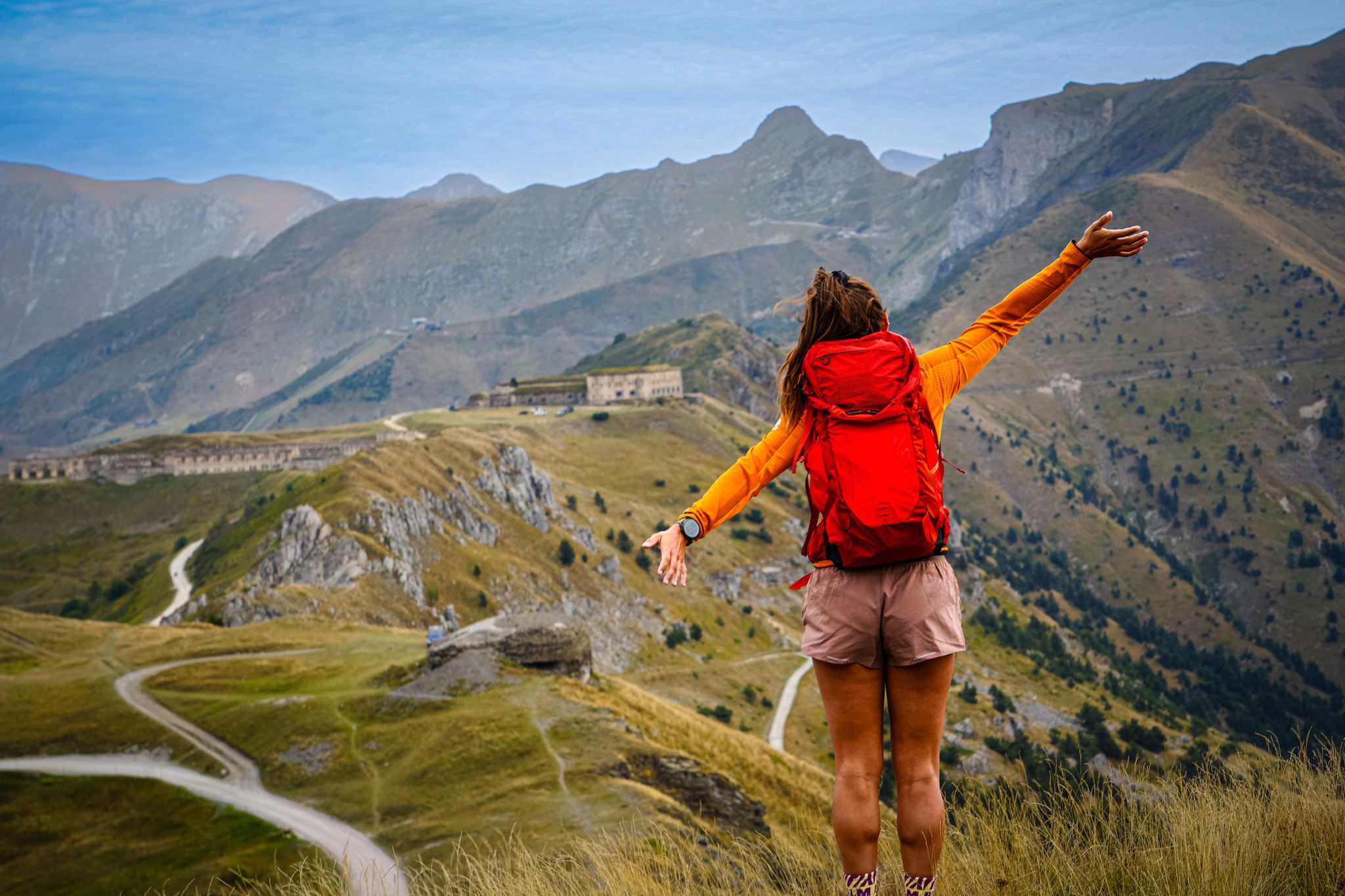
RivierALP – great hikes between the Alps and the Mediterranean
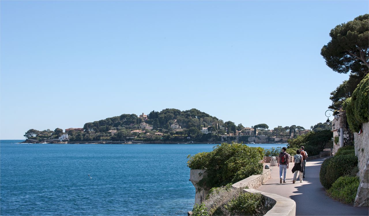
Côte d'Azur panoramas – hikes between land and sea around Nice

Hike from Saint-Étienne-de-Tinée to Briançon – Europe Trail (GR 5)

Crossing the Mercantour National Park – GR 52

Mountains and marmots — France’s Ubaye trail (GR 56)

MigrAction – Generations in Motion

France — two weeks of hiking at its best!

Transalps MTB – Chamonix to the Mediterranean Sea
Other adventures around Aire d'adhésion du Parc national du Mercantour


Tips from the Community

https://youtu.be/hC4eceIyyMw?si=515BXh8fRIHsMTkt I was able to ride up from the refuge on my e-bike, after which the path became steep towards Lombarde.
1
0

Highly recommended, lake tour 👍sant anna
1
0
Doing the tour as I did anticlockwise, you will have more panoramic points on the way down.
0
0
The tour was done in an anti-clockwise direction
2
0
Abandoned refuge, nearby a few steps away there is a cross from where you can see all the peaks
0
0
Beautiful ring, not too demanding, highly recommended
0
0

Small body of water enhanced by the peaks in the background
1
0

The Nice refuge is located at 2,232 meters above sea level, in the town of Bélvédère, Alpes-Maritimes, in the Mercantour National Park.
0
0
Frequently Asked Questions
How many hiking trails are there in Aire d'adhésion du Parc national du Mercantour?
The Aire d'adhésion du Parc national du Mercantour offers an extensive network of over 900 hiking trails. These routes cater to various skill levels, with approximately 200 easy, 447 moderate, and 290 difficult options available for exploration.
What is the best time of year to go hiking in the Mercantour peripheral zone?
The best time to hike in the Aire d'adhésion du Parc national du Mercantour is generally from late spring to early autumn (May to October). During these months, the weather is typically mild, and most trails are free of snow, allowing access to the diverse landscapes from Mediterranean foothills to alpine summits.
Are there family-friendly hiking routes in the Aire d'adhésion du Parc national du Mercantour?
Yes, there are many family-friendly options. The region offers numerous easy and moderate trails suitable for families. These routes often feature gentle gradients and lead to scenic spots like mountain lakes or charming villages, providing enjoyable experiences for all ages.
Can I hike with my dog in the Aire d'adhésion du Parc national du Mercantour?
Yes, dogs are generally permitted on trails within the Aire d'adhésion (peripheral zone) of the Mercantour National Park, unlike the core zone where restrictions apply. It's always recommended to keep your dog on a leash to protect local wildlife and ensure a pleasant experience for other hikers.
Are there any circular hiking routes available?
Yes, the region features many circular hiking routes. A popular option is the Lac de Trécolpas et Refuge de Cougourde – loop in the Mercantour National Park, a moderate 9 km path that offers views of scenic mountain lakes and passes by an alpine refuge. Another is Tour of Lausfer, a 8.6 km moderate trail with varied terrain.
What unique natural features or attractions can I explore while hiking?
The Aire d'adhésion du Parc national du Mercantour is rich in natural attractions. You can explore the spectacular mineral landscapes of La Vallée des Merveilles (Valley of Marvels), known for its prehistoric rock carvings. Scenic mountain lakes like Lac de l'Agnel and Lac des Grenouilles are perfect for picnics, and the Gorges de Daluis offer dramatic river scenery.
Are there any waterfalls to visit along the hiking trails?
Yes, the region features several beautiful waterfalls. Notable ones include the Lance Waterfall and the Aiglière Waterfall. Rivers like La Tinée and Le Var carve through the scenery, creating stunning valleys and occasional cascades.
What kind of wildlife can I spot in the Mercantour area?
The Mercantour is known for its diverse wildlife. Hikers often have the chance to spot iconic species such as the ibex, chamois, golden eagle, and bearded vulture. The varied ecosystems, from Mediterranean foothills to alpine summits, support a rich array of fauna.
Are there places to stay overnight or get refreshments along the trails?
Yes, for multi-day excursions or longer hikes, several alpine refuges provide shelter and sometimes refreshments. Examples include Refuge de Longon and Refuge de Rabuons. Additionally, some villages near trailheads may offer cafes or guesthouses.
What do other hikers enjoy most about hiking in Aire d'adhésion du Parc national du Mercantour?
The area is highly rated by the komoot community, with an average score of 4.5 stars from over 3,400 reviews. Reviewers often praise the diverse landscapes, from rocky peaks to peaceful valleys, the serene mountain lakes, and the well-maintained network of trails suitable for various ability levels.
Are there opportunities for winter hiking in the Mercantour peripheral zone?
While many higher-altitude trails may be inaccessible due to snow in winter, some lower-elevation routes in the Aire d'adhésion can still be enjoyed. It's crucial to check local conditions, weather forecasts, and avalanche warnings before planning any winter hike, and to be equipped with appropriate gear.
Is public transport available to reach trailheads in the region?
Public transport options to reach trailheads can be limited, especially for more remote areas. It's advisable to research specific bus routes or shuttle services that might connect to popular starting points. Many hikers rely on personal vehicles, and parking information should be checked in advance for specific trailheads.
Where can I find parking for hiking trails in the Aire d'adhésion du Parc national du Mercantour?
Parking availability varies by trailhead. Popular starting points for trails often have designated parking areas, though these can fill up quickly during peak season. For specific routes, it's recommended to check the route details on komoot or local tourist information for precise parking locations and any potential fees.
Most popular routes around Aire d'adhésion du Parc national du Mercantour
Most popular attractions around Aire d'adhésion du Parc national du Mercantour

Get inspired with the komoot mobile app


Explore more
Browse the best Hikes in other regions.
