Réserve de biosphère du Mont Ventoux
Réserve de biosphère du Mont Ventoux
The best running trails around Réserve de biosphère du Mont Ventoux
4.3
(222)
11,198
runners
10
runs
Jogging around Réserve de biosphère du Mont Ventoux offers diverse landscapes, transitioning from Mediterranean foothills to an alpine environment at its summit. The region features varied ecosystems, including dense forests of holm oaks and Aleppo pines, deciduous trees, and the iconic bare limestone peak of Mont Ventoux. Joggers can experience striking geological features such as gorges and valleys, alongside a rich biodiversity. This UNESCO-designated site provides a wide array of running environments, from gentle slopes to challenging mountain ascents.
Best jogging routes around Réserve de biosphère du Mont Ventoux
- The most popular jogging route is 👌🏻 – Summit of Mont Ventoux loop from Beaumont-du-Ventoux, a 13.7 miles (22.0 km) trail that takes 3 hours 14 minutes to complete. This difficult route features a significant ascent to the iconic Mont Ventoux summit, offering expansive views.
- Another top favourite among local runners is 👌🏻 – Summit of Mont Ventoux loop from Brantes, a difficult 14.0 miles (22.6 km) path. This route leads through forested areas and open landscapes, often completed in about 3 hours 10 minutes.
- Local runners also love the Mont Ventoux – Mont Ventoux loop from Beaumont-du-Ventoux, a 17.1 miles (27.5 km) trail leading through varied terrain with over 3,500 feet of elevation gain, often completed in about 3 hours 45 minutes.
- Jogging around Réserve de biosphère du Mont Ventoux is defined by Mediterranean foothills, dense forests, and the stark limestone summit of Mont Ventoux. The network offers options for different ability levels, from easy running paths to advanced mountain trails.
- The routes in Réserve de biosphère du Mont Ventoux are highly rated by the komoot community with an average score of 4.3 stars from over 200 reviews. More than 11,000 runners have used komoot to explore Réserve de biosphère du Mont Ventoux's varied terrain.
Last updated: June 29, 2026
131
runners
13.4km
01:38
520m
520m
Hard run. Very good fitness required. Mostly paved surfaces. Suitable for all skill levels.
5.0
(1)
41
runners
22.5km
03:10
1,020m
1,020m
Hard run. Very good fitness required. Mostly paved surfaces. Suitable for all skill levels.

Sign up for free
4.0
(1)
71
runners
24.7km
03:28
1,020m
1,020m
Hard run. Very good fitness required. Sure-footedness, sturdy shoes and alpine experience required.
5.0
(2)
131
runners
13.3km
01:51
620m
620m
Hard run. Very good fitness required. Sure-footedness, sturdy shoes and alpine experience required.
16
runners
48.3km
07:20
2,450m
2,450m
Hard run. Very good fitness required. Mostly accessible paths. Some sure footedness required.
Get access to more routes and recommendations from other explorers.
Sign up for free
Already have an account?
Our route recommendations are based on thousands of hikes, rides, and runs completed by other people on komoot.
Start today with a free account
Your next adventure awaits.
Login or Signup
Popular around Réserve de biosphère du Mont Ventoux

Legendary passes of the Tour de France
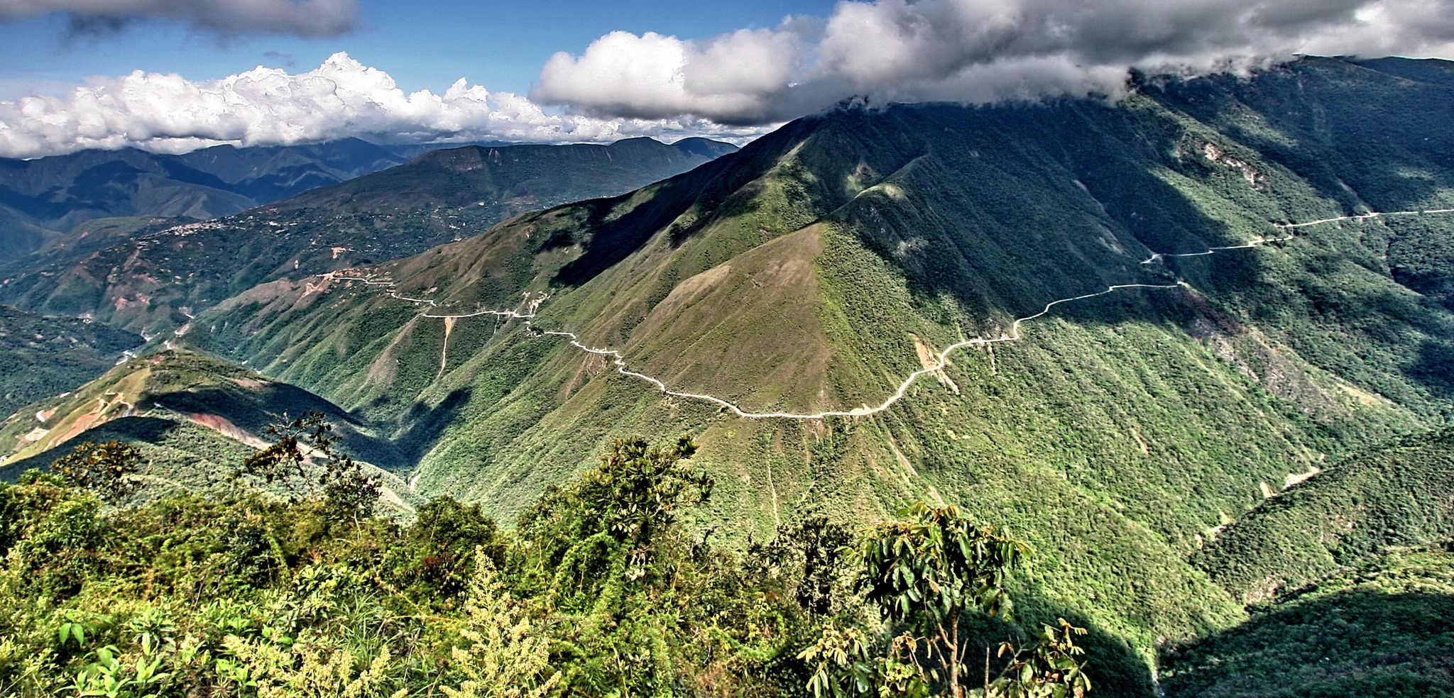
The world's most adventurous cycling passes
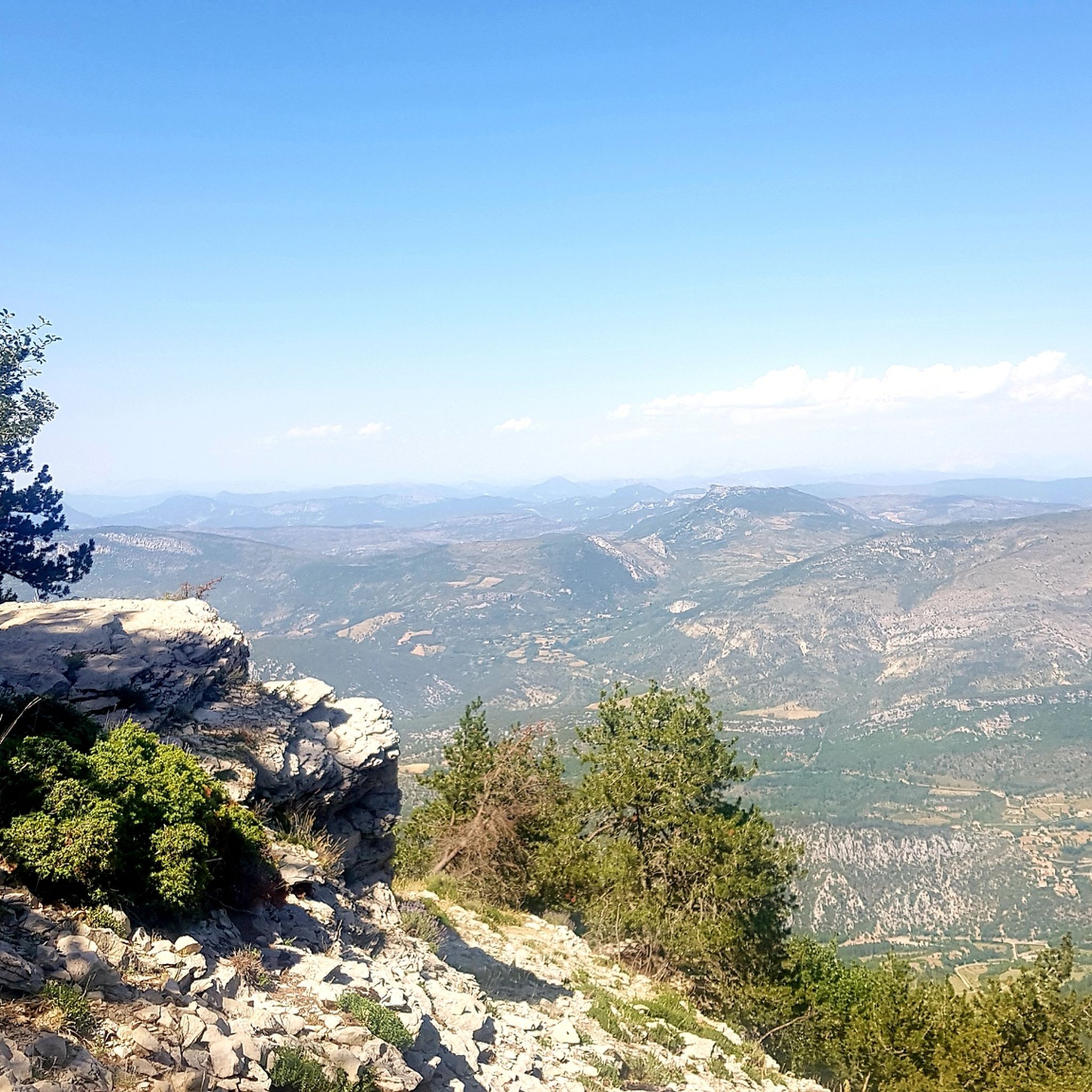
Hiking around Réserve de biosphère du Mont Ventoux
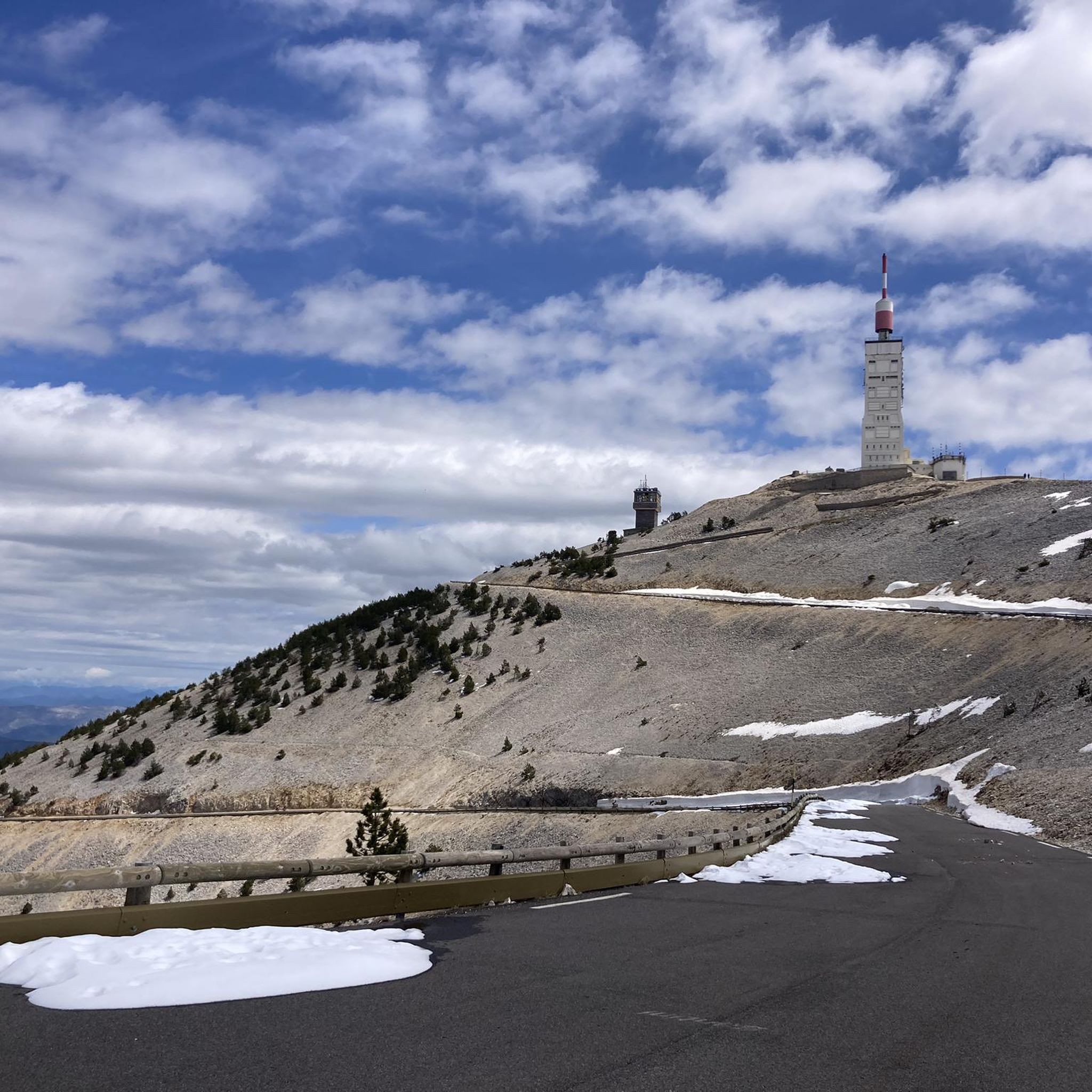
Road Cycling Routes around Réserve de biosphère du Mont Ventoux
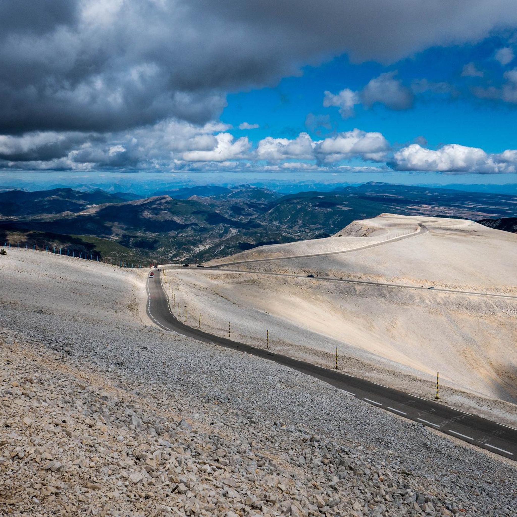
Gravel biking around Réserve de biosphère du Mont Ventoux
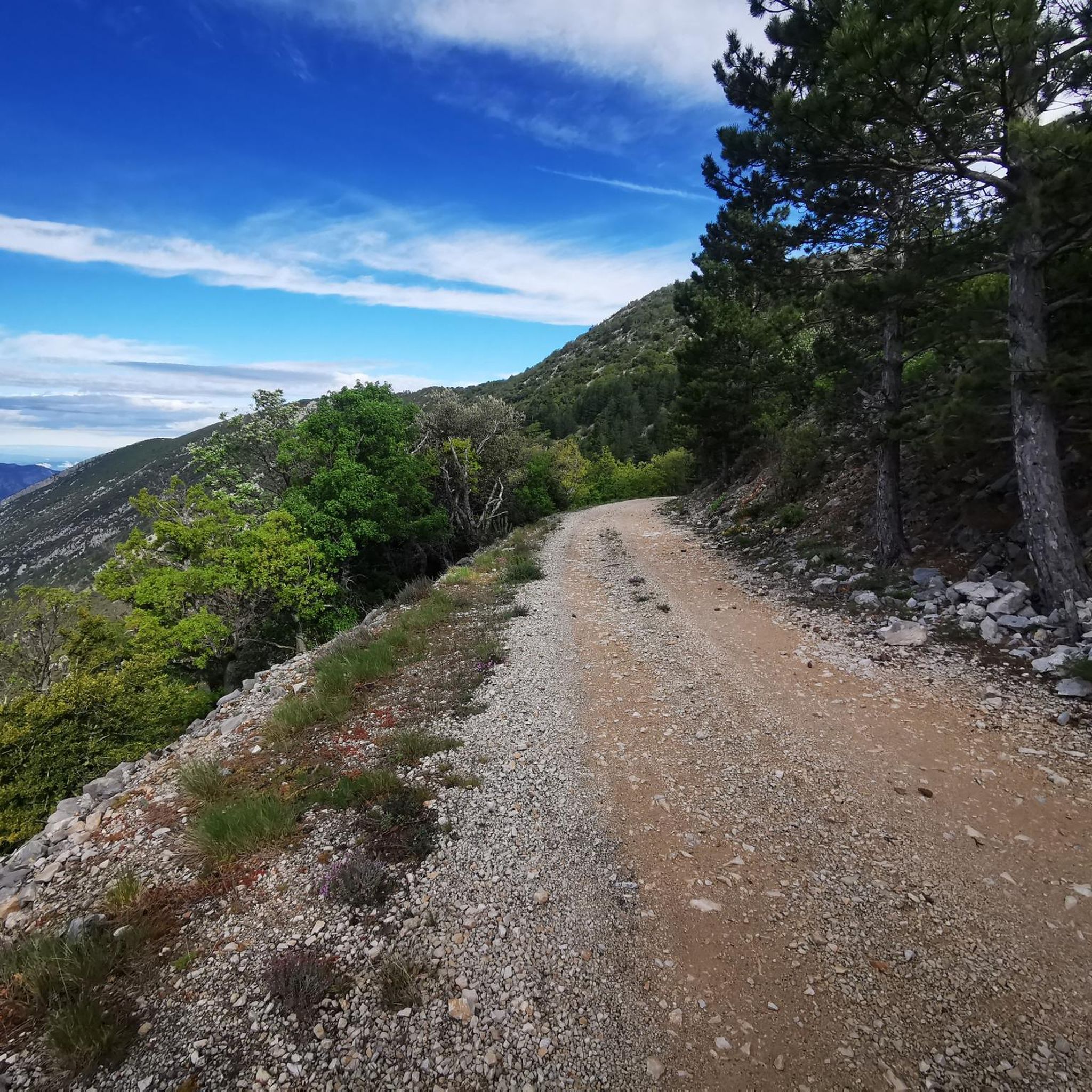
Cycling around Réserve de biosphère du Mont Ventoux
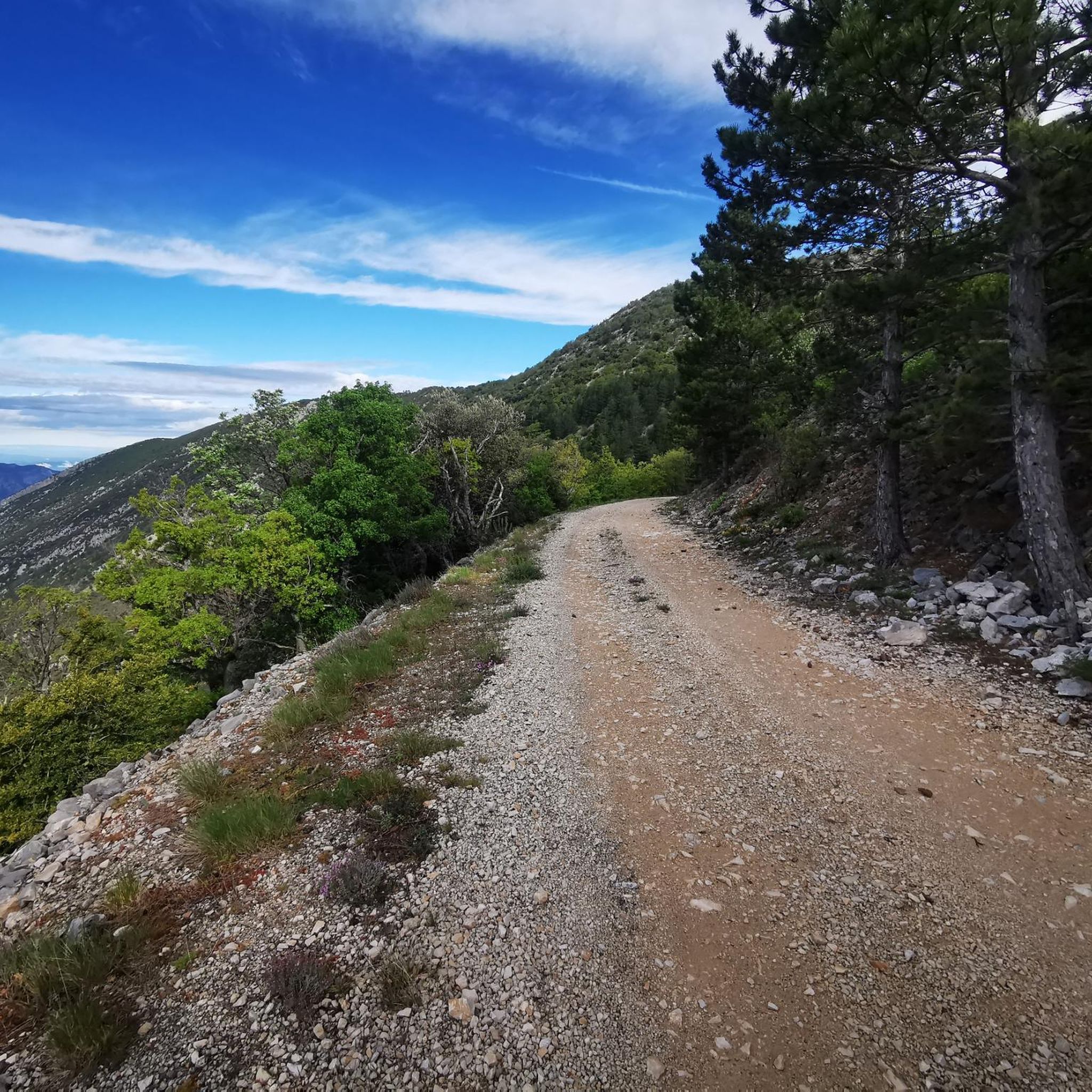
MTB Trails around Réserve de biosphère du Mont Ventoux

Mountain Hikes around Réserve de biosphère du Mont Ventoux
Other adventures around Réserve de biosphère du Mont Ventoux

Tips from the Community

A climb to Ventoux from Mont Serein... Ideal in the heat
0
0

To drink if you run out of water before the last few kilometers to the summit of Ventoux
0
0

The unmissable fan zone created by Charbon Cycling during the annual Mont Ventous event, organized by the Rookies with the Pista Café as a partner, to promote women's cycling. The perfect place to set up folding chairs, turn up the music, cheer on, and put a smile on the faces of the brave climbers.
0
0

I recommend a little crepe stop in this sumptuous village.
0
0

Arriving up here on my regular touring bike was my personal highlight of 2024. Warm clothing is definitely a plus, at least for the descent. Don't forget it!
3
0

Great little place with a decent climb
0
0

Beautiful trails, I recommend it, but you need to be in good physical condition 😆🤪💪💪
0
0

Very welcome after the first climb, unfortunately only open during the season.
0
0
Frequently Asked Questions
How many running routes are available in the Réserve de biosphère du Mont Ventoux?
The Réserve de biosphère du Mont Ventoux offers a vast network of running trails, with over 550 routes available on komoot. This includes a wide variety of options, from gentle paths in the Mediterranean foothills to challenging ascents towards the iconic summit.
What kind of terrain can I expect when running in the Mont Ventoux Biosphere Reserve?
You'll find incredibly diverse terrain here, earning Mont Ventoux its nickname 'The Giant of Provence.' Routes range from sunny Mediterranean foothills with vineyards and lavender fields, through dense forests of oak, pine, and beech at mid-altitudes, to the stark, almost lunar landscape of white limestone near the summit. This variety ensures options for all preferences and fitness levels.
Are there easy running routes suitable for beginners or casual joggers?
Yes, while the region is famous for its challenging mountain trails, there are 36 easy running routes available. These are often found on the lower slopes or through agricultural lands, providing gentler gradients and scenic views without significant elevation gain. Look for trails in areas like Mormoiron for beginner-friendly options.
What are some notable landmarks or natural features I might see along the running trails?
Many running routes offer stunning views and pass by significant landmarks. You can experience the breathtaking panoramic views from the Mont Ventoux summit, explore the dramatic Nesque gorges, or pass by the Stele dedicated to Tom Simpson. The region's biodiversity also means you might encounter unique flora and fauna.
What is the best time of year to go jogging in the Réserve de biosphère du Mont Ventoux?
The best time largely depends on your preferred terrain. Spring and autumn offer pleasant temperatures for most routes, with vibrant wildflowers in spring and beautiful foliage in autumn. During warmer summer months, the shaded forest trails at mid-altitudes are ideal. For challenging summit runs, late spring to early autumn is best, as winter can bring snow and harsh conditions to higher elevations.
Are there any running routes that offer significant elevation challenges?
Absolutely. Mont Ventoux is renowned for its challenging ascents. Many routes lead to the summit, providing substantial elevation gain. For example, the difficult route Summit of Mont Ventoux loop from Beaumont-du-Ventoux covers 22 km with over 1000 meters of ascent, offering a true test for experienced runners.
Can I find circular running routes in the Mont Ventoux area?
Yes, many of the running routes in the Réserve de biosphère du Mont Ventoux are designed as loops, allowing you to start and finish at the same point. This is convenient for parking and exploring different sections of the diverse landscape. An example is the Summit of Mont Ventoux loop from Brantes, which offers a challenging circular experience.
What do other runners say about the trails in Réserve de biosphère du Mont Ventoux?
The running routes in the Réserve de biosphère du Mont Ventoux are highly regarded by the komoot community, with an average rating of 4.3 stars from nearly 200 reviews. Over 11,000 runners have used komoot to explore the area, frequently praising the diverse landscapes, well-marked trails, and the stunning panoramic views from higher elevations.
Are there options for advanced or experienced trail runners?
Definitely. The region is a recognized 'trail destination' with 224 difficult routes available, including 19 certified Uni'Vert trail courses. These routes often feature significant elevation changes, technical terrain, and longer distances, providing a demanding and rewarding experience for advanced trail runners. Consider routes like Mont Ventoux – Mont Ventoux loop from Beaumont-du-Ventoux for a substantial challenge.
Are there any running routes that are particularly scenic or offer great viewpoints?
Many routes in the Réserve de biosphère du Mont Ventoux are incredibly scenic. The higher you go, the more expansive the views become. The summit itself offers breathtaking panoramas of the Rhône Valley, the Alps, and the Mediterranean Sea. Even at lower altitudes, trails winding through vineyards and lavender fields, or along ridges, provide picturesque vistas of the Comtat Venaissin plain and the Dentelles de Montmirail.
How long are the running trails in the Mont Ventoux Biosphere Reserve?
The length of running trails varies significantly to suit all preferences. You can find shorter routes, such as the Summit of Mont Ventoux loop from Saint-Léger-du-Ventoux at 9.5 km, perfect for a quicker run. There are also much longer, more challenging trails, like the Summit of Mont Ventoux loop from Beaumont-du-Ventoux, which stretches over 22 km.
Most popular routes around Réserve de biosphère du Mont Ventoux
Most popular attractions around Réserve de biosphère du Mont Ventoux

Get inspired with the komoot mobile app


Explore more
Browse the best Running Trails & Routes in other regions.
