Réserve biologique intégrale du Mont Ventoux
Réserve biologique intégrale du Mont Ventoux
The best road cycling routes around Réserve biologique intégrale du Mont Ventoux
4.6
(2106)
72,249
riders
123
rides
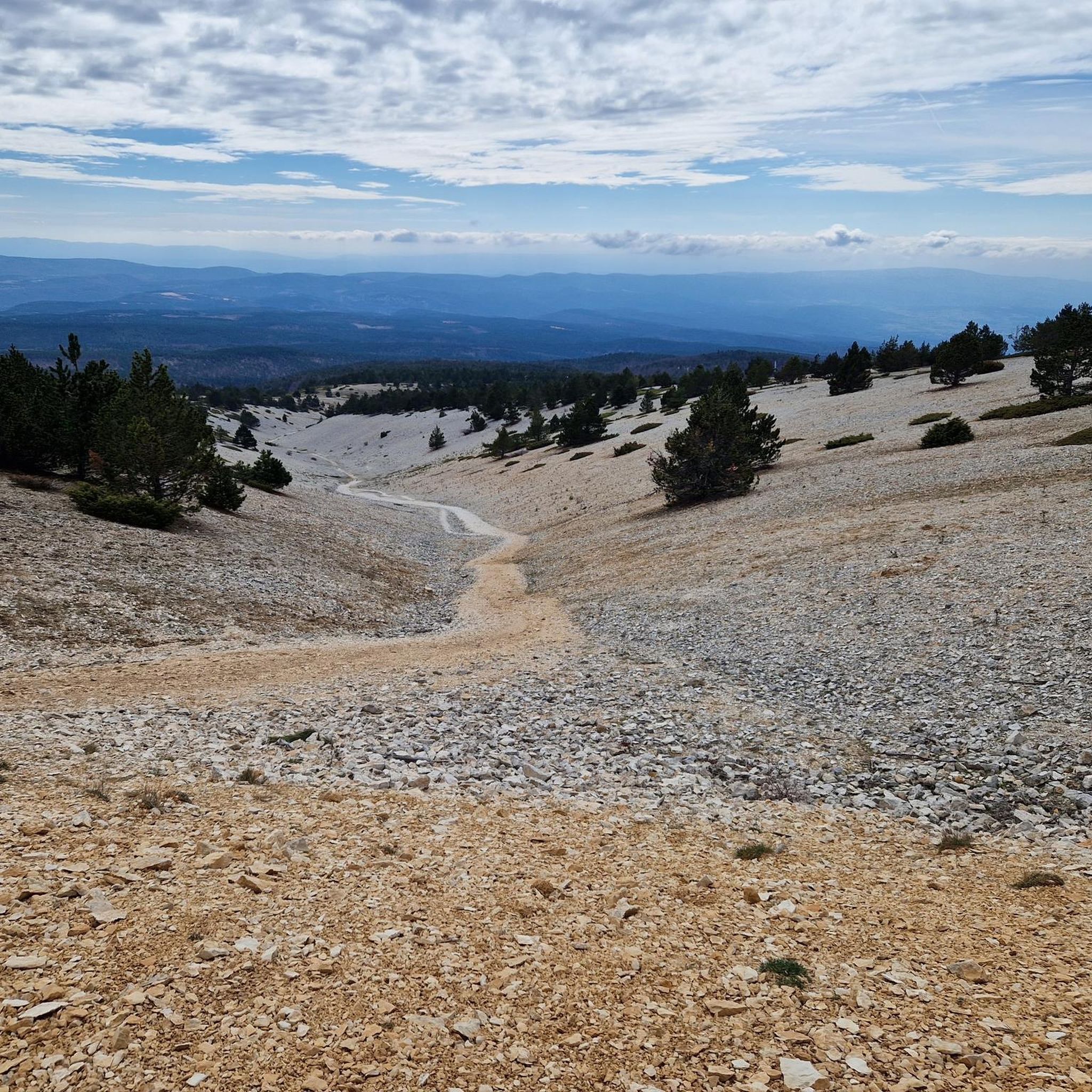
Road cycling around Réserve biologique intégrale du Mont Ventoux offers diverse terrain, transitioning from Mediterranean vegetation at lower altitudes to exposed, almost Alpine conditions near the summit. The region is characterized by extensive vineyards, dense forests, and a stark "lunar landscape" of white rock and limestone at higher elevations. This UNESCO Biosphere Reserve features challenging ascents and panoramic views, providing varied backdrops for rides.
Best road cycling routes around Réserve biologique intégrale du Mont Ventoux
- The most popular road cycling route is View of the Mont Ventoux summit – Chalet Reynard loop from Fontaine de la Grave, a 26.0 miles (41.8 km) trail that takes 2 hours 21 minutes to complete. This difficult route features significant elevation gain as it climbs towards the iconic summit.
- Another top favourite among local road cyclists is Pass of Storms – View of the Mont Ventoux summit loop from Mont Ventoux, a difficult 15.1 miles (24.3 km) path. This route offers a scenic experience around the upper slopes of Mont Ventoux, including the summit area.
- Local road cyclists also love the View of the Mont Ventoux summit – Pass of Storms loop from Plaine des Hermitants, a 25.8 miles (41.5 km) trail leading through varied landscapes, often completed in about 2 hours 59 minutes.
- Road cycling around Réserve biologique intégrale du Mont Ventoux is defined by challenging mountain ascents, forested sections, and open, exposed terrain near the summit. The network offers options for different ability levels, from moderate loops to difficult climbs.
- The routes in Réserve biologique intégrale du Mont Ventoux are highly rated by the komoot community with an average score of 4.6 stars from over 1600 reviews. More than 68000 road cyclists have used komoot to explore Réserve biologique intégrale du Mont Ventoux's varied terrain.
Last updated: August 25, 2026
4.8
(303)
7,761
riders
Hard road ride. Very good fitness required. Mostly well-paved surfaces and easy to ride.
4.9
(149)
7,648
riders
41.5km
02:59
1,550m
1,540m
Hard road ride. Very good fitness required. Mostly well-paved surfaces and easy to ride.

Sign up for free
5.0
(1)
166
riders
12.4km
00:53
450m
450m
Moderate road ride. Good fitness required. Mostly well-paved surfaces and easy to ride.
33
riders
23.7km
01:42
890m
890m
Moderate road ride. Good fitness required. Mostly well-paved surfaces and easy to ride.
5.0
(2)
82
riders
12.2km
00:52
450m
450m
Moderate road ride. Good fitness required. Mostly well-paved surfaces and easy to ride.
Get access to more routes and recommendations from other explorers.
Sign up for free
Already have an account?
Our route recommendations are based on thousands of hikes, rides, and runs completed by other people on komoot.
Start today with a free account
Your next adventure awaits.
Login or Signup
Popular around Réserve biologique intégrale du Mont Ventoux
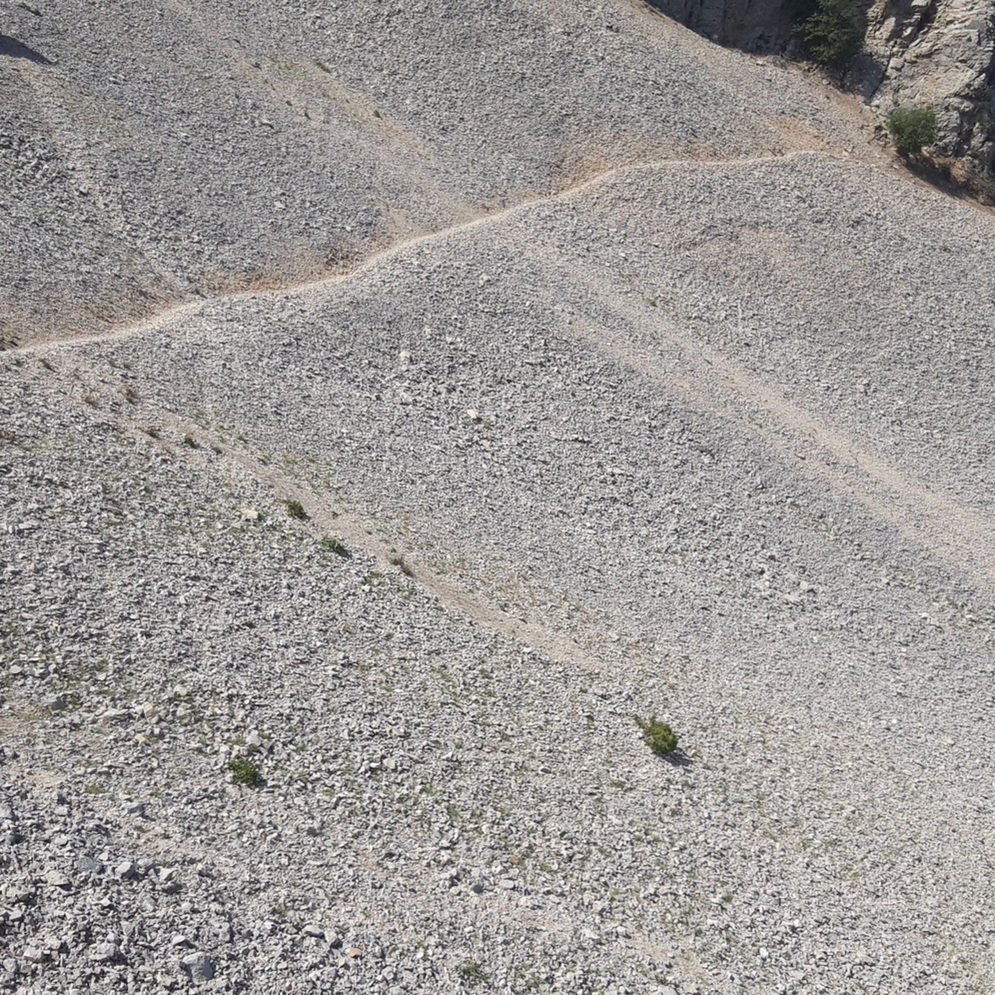
Hiking around Réserve biologique intégrale du Mont Ventoux
Running Trails around Réserve biologique intégrale du Mont Ventoux
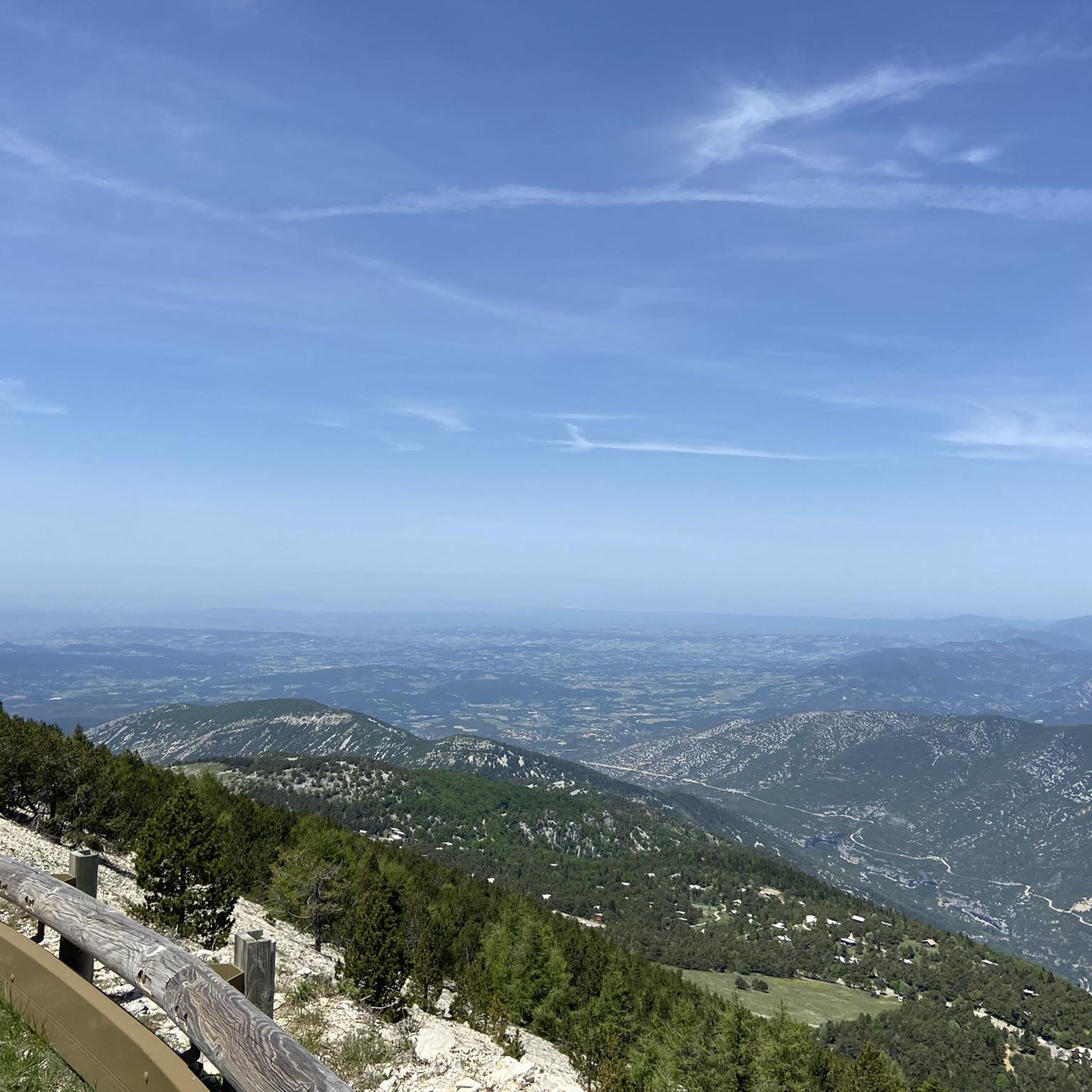
Cycling around Réserve biologique intégrale du Mont Ventoux
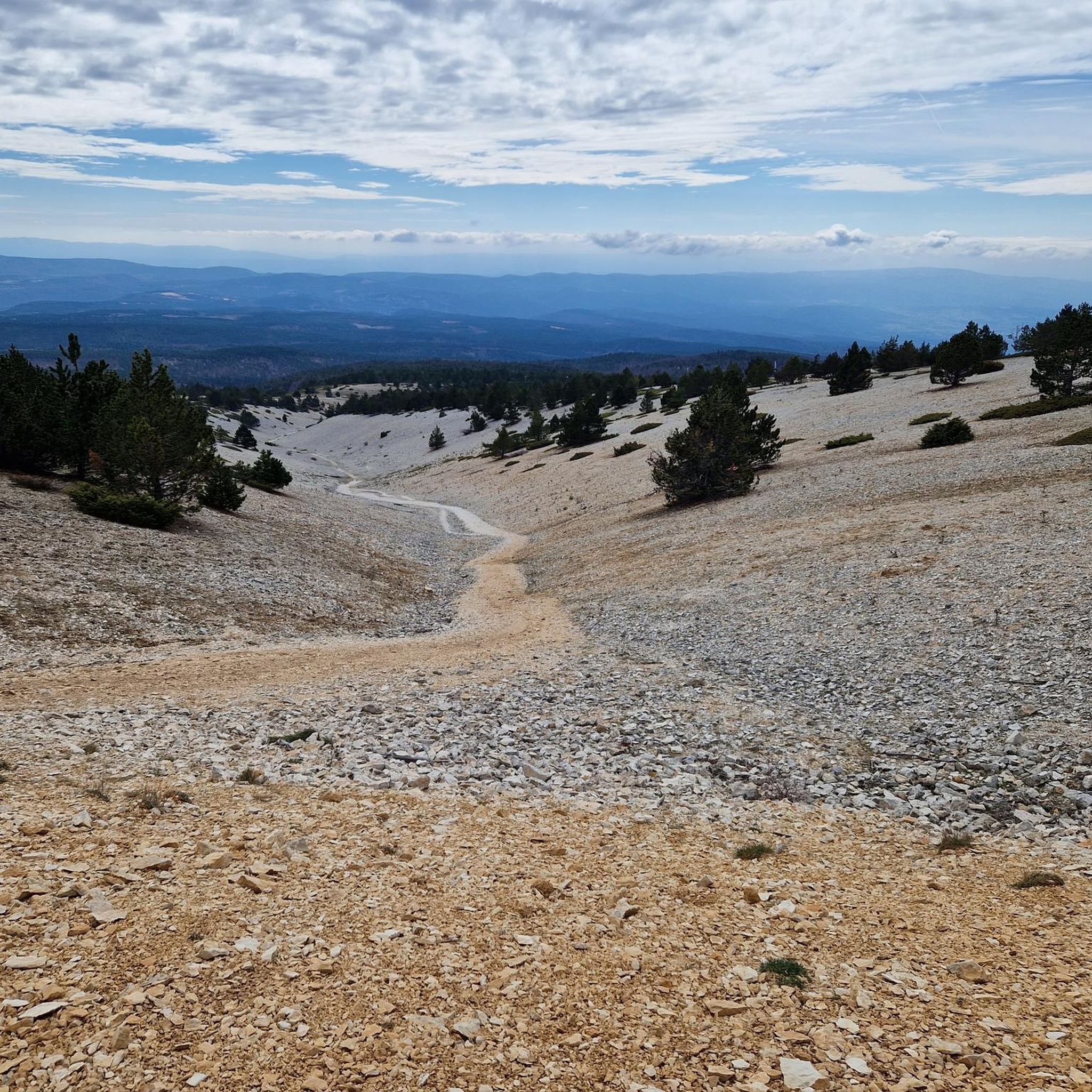
MTB Trails around Réserve biologique intégrale du Mont Ventoux
Gravel biking around Réserve biologique intégrale du Mont Ventoux

Mountain Hikes around Réserve biologique intégrale du Mont Ventoux
Tips from the Community

Very green regional park.
11
0
About halfway up the climb, you'll find this work of art.
15
0
As soon as you set off, the panorama is already spectacular.
8
0
Mythical climb often proposed in the Tour de France.
8
0
The view from the top is sublime.
4
0
Finish line , if you see it, you've made it.
7
1
The last hairpin bend and then you are at the top.
8
0
Wonderful road, the asphalt is in excellent condition
14
0
Frequently Asked Questions
What types of terrain and difficulty levels can I expect for road cycling in Réserve biologique intégrale du Mont Ventoux?
Road cycling around Mont Ventoux offers a wide range of terrain, from the gentle slopes through vineyards and lavender fields at lower altitudes to the challenging, exposed 'lunar landscape' near the summit. Routes vary significantly in difficulty, encompassing moderate loops and very difficult climbs with significant elevation gain. The region is famous for its three classic ascents: the iconic Bédoin route, the varied Malaucène ascent, and the longer but generally easier Sault route, which merges with the Bédoin route for the final challenging kilometers.
Are there any easier road cycling routes for beginners around Mont Ventoux?
While Mont Ventoux is known for its challenging climbs, there are options for less experienced cyclists. The Sault ascent, for example, is considered the easiest of the three classic routes, with a gentler average gradient. Additionally, komoot offers shorter, moderate paths like the 'Pass of Storms – View of the Mont Ventoux summit loop from Mont Ventoux', which provides a scenic experience around the upper slopes without the full intensity of a summit climb from the base.
What natural features and landmarks can I expect to see while cycling around Mont Ventoux?
Cyclists will encounter diverse landscapes, from Mediterranean vegetation and extensive vineyards on the lower slopes to dense forests and the stark, white 'lunar landscape' near the summit. Notable landmarks include the Mont Ventoux summit itself with its meteorological observatory, and Chalet Reynard, a popular mountain refuge. The region also features dramatic gorges like the Nesque, Toulourenc, and Ouvèze, picturesque villages such as Bédoin, Malaucène, and Sault, and the distinctive 'spiky rocks' of the Dentelles de Montmirail visible from various points.
When is the best time of year to go road cycling in Réserve biologique intégrale du Mont Ventoux?
The best time for road cycling around Mont Ventoux is typically from late spring (May) through early autumn (October). During these months, the weather is generally more stable, and the higher sections of the mountain are free of snow. Summer offers warm conditions, but the exposed summit can be very windy and hot, so early morning starts are recommended. Spring and autumn provide cooler temperatures and beautiful scenery, including lavender fields around Sault in early summer.
Are there family-friendly road cycling options in the Mont Ventoux area?
While the main ascents of Mont Ventoux are challenging, the surrounding region offers flatter, more accessible routes suitable for families. The lower slopes feature quiet roads through vineyards and charming villages. Look for routes that avoid significant elevation gain and stick to the valleys or designated greenways. The area around villages like Sault or Malaucène can offer gentler rides with beautiful scenery.
Can I find circular road cycling routes around Mont Ventoux?
Yes, there are several circular road cycling routes that allow you to experience the diverse landscapes around Mont Ventoux. For instance, the View of the Mont Ventoux summit – Chalet Reynard loop from Fontaine de la Grave is a challenging circular route that takes you towards the iconic summit. Another option is the View of the Mont Ventoux summit – Pass of Storms loop from Brantes, offering varied landscapes and a significant ascent.
What are the parking options for cyclists around Mont Ventoux?
Cyclists typically find parking available in the villages at the base of the main ascents, such as Bédoin, Malaucène, and Sault. These villages are popular starting points for rides up Mont Ventoux and usually have dedicated parking areas or street parking suitable for cyclists. Arriving early, especially during peak season, is advisable to secure a spot.
Are there places to stop for refreshments or food along the cycling routes?
Yes, the villages at the base of Mont Ventoux (Bédoin, Malaucène, Sault) offer numerous cafes, restaurants, and shops where cyclists can refuel. On the mountain itself, Chalet Reynard is a well-known mountain refuge and restaurant located at the treeline, serving as a crucial stopping point before the final exposed push to the summit. Many smaller villages along the routes also have local establishments for refreshments.
What do other road cyclists enjoy the most about road cycling in Réserve biologique intégrale du Mont Ventoux?
The area is highly rated by the komoot community, with an average score of 4.6 stars from over 1800 reviews. Reviewers often praise the challenging mountain ascents, the stunning panoramic views from the summit, and the diverse landscapes that transition from vineyards to forests and the unique 'lunar landscape'. The sense of achievement after conquering the 'Giant of Provence' is a common highlight.
Are there any specific viewpoints worth stopping at during a ride?
Absolutely. The summit of Mont Ventoux itself offers breathtaking panoramic views across Provence, the Rhône Valley, and the southern Alps, often extending to the Mediterranean on clear days. Other notable viewpoints include the Pass of Storms, which provides dramatic vistas, and various points along the ascents where you can see the distinctive Dentelles de Montmirail or the picturesque lavender fields, especially on the Sault route.
How many road cycling routes are available in Réserve biologique intégrale du Mont Ventoux?
There are over 130 road cycling routes available in Réserve biologique intégrale du Mont Ventoux, catering to various skill levels. This includes 17 easy routes, 51 moderate routes, and 63 difficult routes, ensuring options for every cyclist looking to explore the region.
Most popular routes around Réserve biologique intégrale du Mont Ventoux
Most popular attractions around Réserve biologique intégrale du Mont Ventoux

Get inspired with the komoot mobile app


Explore more
Browse the best Road cycling routes in other regions.
