Parc national des Écrins (cœur)
Parc national des Écrins (cœur)
The best mountain hikes around Parc national des Écrins (cœur)
4.9
(49)
351
hikers
53
hikes
Mountaineering around Parc national des Écrins (cœur) is characterized by a dramatic high-mountain landscape featuring over 150 peaks exceeding 3,000 meters, including the iconic Barre des Écrins at 4,102 meters. The region is defined by extensive glaciers like Glacier Blanc and Glacier Noir, alongside a diverse topography of crystalline and metamorphic rocks, creating steep ascents and deep gullies. Alpine lakes and picturesque valleys further enhance the challenging and varied terrain for mountaineers.
Best mountaineering routes around Parc national des Écrins (cœur)
- The most popular mountaineering route is Lake Lauvitel loop from La Danchère, a 4.1 miles (6.6 km) trail that takes 3 hours 25 minutes to complete. This route offers a scenic journey around a clear mountain lake.
- Another top favourite among local mountaineers is Palluel Lake loop from Parking riverains, a difficult 8.5 miles (13.6 km) path. This route navigates through rugged alpine terrain with significant elevation changes.
- Local mountaineers also love the The Lake loop from Chambran, a 7.0 miles (11.2 km) trail leading through high alpine landscapes, often completed in about 5 hours 8 minutes.
- Mountaineering around Parc national des Écrins (cœur) is defined by towering peaks, extensive glaciers, and deep alpine valleys. The network offers options for both experienced mountaineers and those seeking challenging multi-day expeditions.
- The routes in Parc national des Écrins (cœur) are highly rated by the komoot community with an average score of 4.9 stars from nearly 100 reviews. More than 600 mountaineers have used komoot to explore Parc national des Écrins (cœur)'s varied terrain.
Last updated: July 1, 2026
5.0
(1)
12
hikers
Hard mountaineering route. Very good fitness required. Mostly accessible paths. Sure-footedness required.
12
hikers
Hard mountaineering route. Very good fitness required. Sure-footedness, sturdy shoes and alpine experience required.

Sign up for free
10
hikers
Hard mountaineering route. Very good fitness required. Sure-footedness, sturdy shoes and alpine experience required.
5.0
(1)
7
hikers
Hard mountaineering route. Very good fitness required. Mostly accessible paths. Sure-footedness required.
6
hikers
14.1km
06:23
1,330m
1,330m
Hard mountaineering route. Very good fitness required. Mostly accessible paths. Sure-footedness required.
Get access to more routes and recommendations from other explorers.
Sign up for free
Already have an account?
Our route recommendations are based on thousands of hikes, rides, and runs completed by other people on komoot.
Start today with a free account
Your next adventure awaits.
Login or Signup
Popular around Parc national des Écrins (cœur)

8 hikes in the Hautes-Alpes — mountain passes and high-altitude lakes

Écrins, Belledonne and Vercors – HexaTrek, Hautes-Alpes
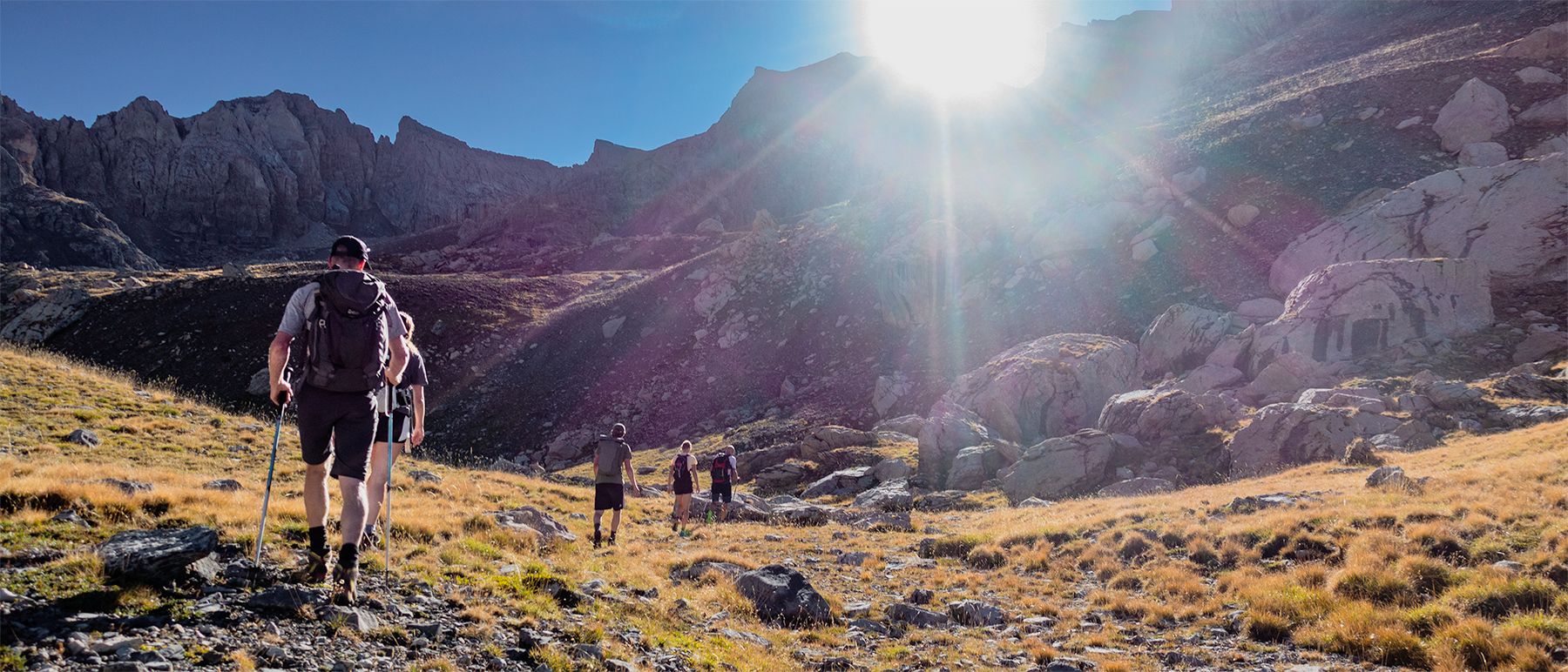
Écrins National Park and more – hikes in and around Puy Saint Vincent
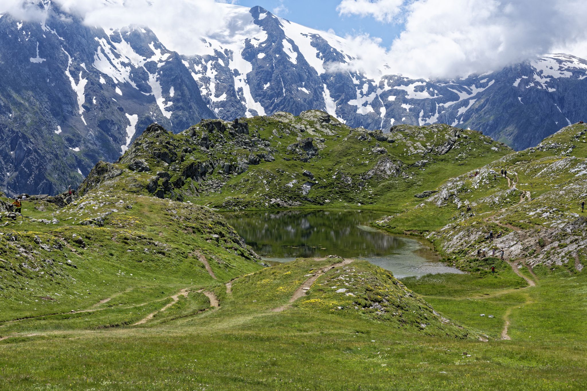
Exploring the Oisans and the Écrins in France — the GR 54

France — two weeks of hiking at its best!
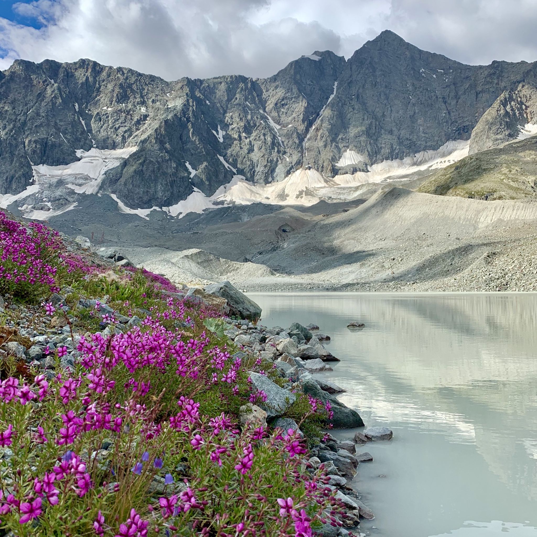
Hiking around Parc national des Écrins (cœur)
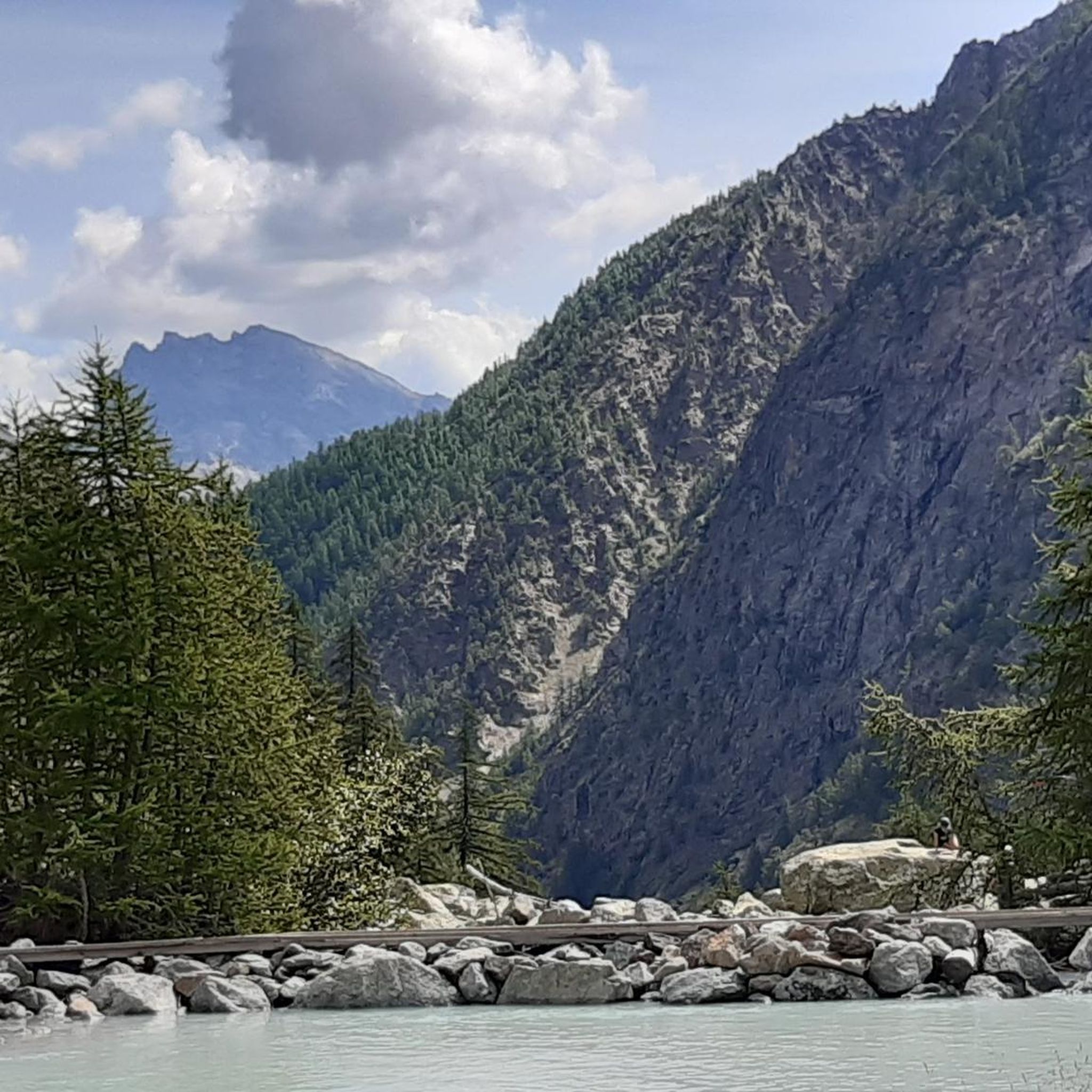
Road Cycling Routes around Parc national des Écrins (cœur)
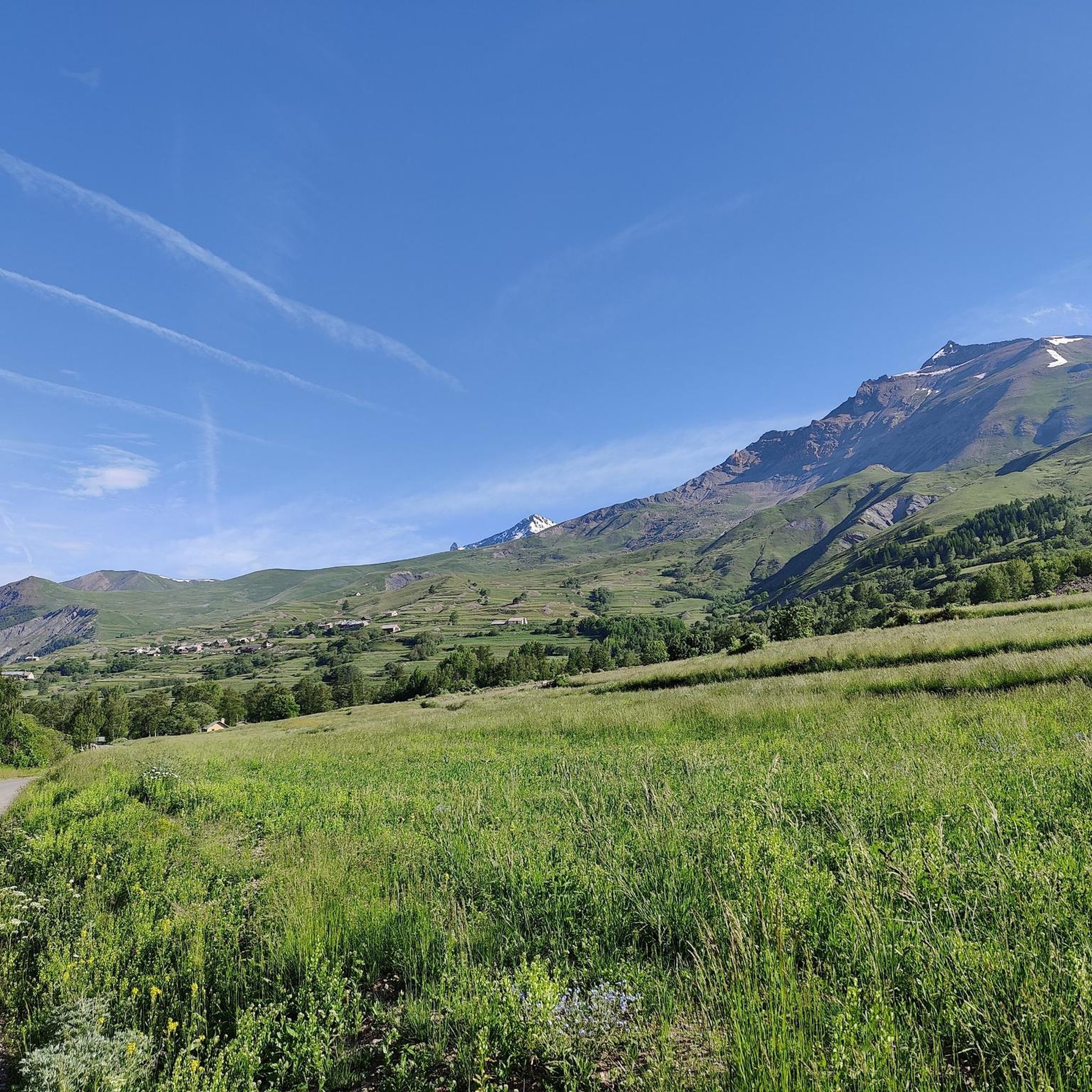
MTB Trails around Parc national des Écrins (cœur)
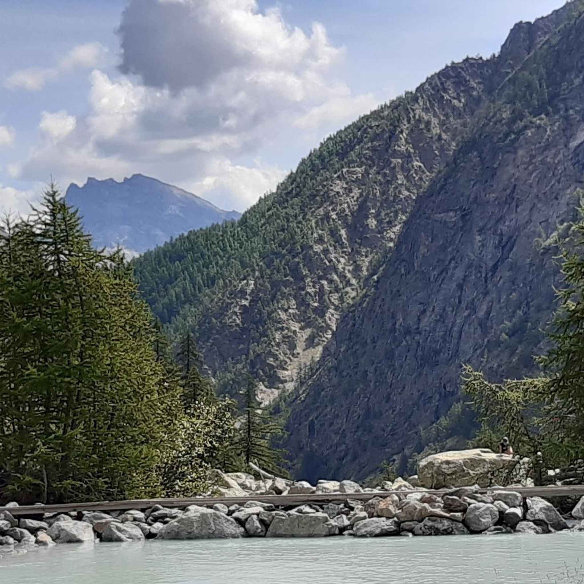
Cycling around Parc national des Écrins (cœur)
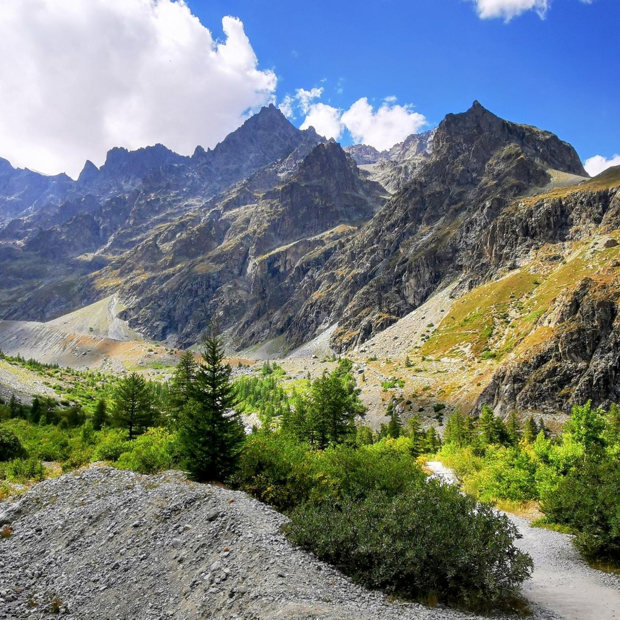
Running Trails around Parc national des Écrins (cœur)
Other adventures around Parc national des Écrins (cœur)


Tips from the Community

In memory of this martyred and disfigured city in June 2024
0
0

Just above the hut, there are several beautiful campsites hidden behind some rocks, offering panoramic views of the Sirac. You can camp here and eat at the hut.
1
0

The path to the lake is beautiful. It can be a bit challenging at times, but with good footwear, it's manageable. At the lake, you can hike slightly uphill to a refuge (a 20-minute walk).
0
0


Beautiful location with nice people and tasty, affordable meals.
0
0

This family refuge offers a warm atmosphere on the estate of La Grave - La Meije. It has 40 beds divided into dormitories and private rooms to meet all needs. The refuge's catering service welcomes you with pleasure whether it is for a dinner or a simple slice of pie. Remember to book on https://www.refuge-chancel.com/le-refuge-chancel
1
0

Spectacular lake at an altitude of 2,382 metres in the Meije massif.
1
0
Frequently Asked Questions
How many mountaineering routes are available in Parc national des Écrins (cœur)?
There are over 70 mountaineering routes available in Parc national des Écrins (cœur) on komoot, offering a wide range of challenges for different skill levels. The park is renowned for its dramatic high-mountain landscape, featuring over 150 peaks exceeding 3,000 meters.
What are the difficulty levels of mountaineering routes in Parc national des Écrins (cœur)?
The routes in Parc national des Écrins (cœur) cater to various skill levels. You'll find a few moderate routes, but the majority, around 45, are classified as difficult, reflecting the park's challenging alpine terrain. This includes ascents that often involve a combination of rock, glacier, and ice climbing.
Are there any circular mountaineering routes in the park?
Yes, many routes in Parc national des Écrins (cœur) are designed as loops. For example, you could explore the challenging Palluel Lake loop from Parking riverains, which navigates through rugged alpine terrain. Another option is The Lake loop from Chambran, leading through high alpine landscapes.
What natural features can I expect to see along the mountaineering routes?
Parc national des Écrins (cœur) is rich in stunning natural features. You'll encounter extensive glaciers like Glacier Blanc and Glacier Noir, towering peaks including the iconic Barre des Écrins, and beautiful alpine lakes. Many routes also pass by impressive waterfalls, such as Cascade de la Pisse or Waterfall Near Lac de Lauzon.
Are there any family-friendly mountaineering options?
While many routes are challenging, there are options suitable for families seeking a less strenuous experience. The Lake Lauvitel loop from La Danchère is a moderate 6.6 km trail that offers a scenic journey around a clear mountain lake, perfect for a family outing.
What are the rules regarding dogs in Parc national des Écrins (cœur)?
As a national park, the core zone of Parc national des Écrins (cœur) has strict regulations to protect its environment. This includes a prohibition on dogs, even on a leash. These rules help preserve the park's rich biodiversity and pristine nature.
Where can I find accommodation or base camps for mountaineering trips?
Villages like Ailefroide, Vallouise, Les Vigneaux, and La Bérarde serve as practical base camps, offering guide offices, outdoor gear shops, and various lodging options. Additionally, a network of gîtes and high mountain refuges, such as Refuge des Écrins and Refuge du Glacier Blanc, provide essential accommodation for multi-day expeditions within the park.
What is the best time of year for mountaineering in Parc national des Écrins (cœur)?
The best time for mountaineering typically depends on the specific route and conditions. Summer months generally offer the most favorable weather for high-altitude ascents and glacier trekking. However, the park also transforms into a hub for winter sports like ice climbing and glacier hiking in colder months, requiring specialized gear and experience.
Are there any multi-day mountaineering treks available?
Yes, the park offers extensive opportunities for multi-day treks, including routes like the Tour des Écrins. These longer expeditions often utilize the network of high mountain refuges for overnight stays. A challenging multi-day option could involve the Muzelle Refuge – Lake Lauvitel loop from Venosc, which covers over 20 km with significant elevation gain.
What do other mountaineers say about the routes in Parc national des Écrins (cœur)?
The mountaineering routes in Parc national des Écrins (cœur) are highly rated by the komoot community, with an average score of 4.9 stars from nearly 100 reviews. Mountaineers often praise the dramatic landscapes, extensive glaciers, and the diverse range of challenging routes that offer breathtaking experiences.
Are there any less crowded mountaineering routes or areas to explore?
While the park is a popular destination, it is often regarded as a less crowded alternative to Mont-Blanc. To find quieter spots, consider exploring picturesque valleys like the Valgaudemar valley, known as the 'little Himalayas,' which offers a sense of remoteness away from major tourist hubs. Routes like Lac du Lauzon loop from Réserve naturelle de la haute vallée de la Séveraisse might offer a more serene experience.
Most popular routes around Parc national des Écrins (cœur)
Most popular attractions around Parc national des Écrins (cœur)

Get inspired with the komoot mobile app


Explore more
Browse the best Mountain Hikes & Routes in other regions.
