The best walks and hikes around La Cellera De Ter
4.3
(353)
2,754
hikers
13
hikes
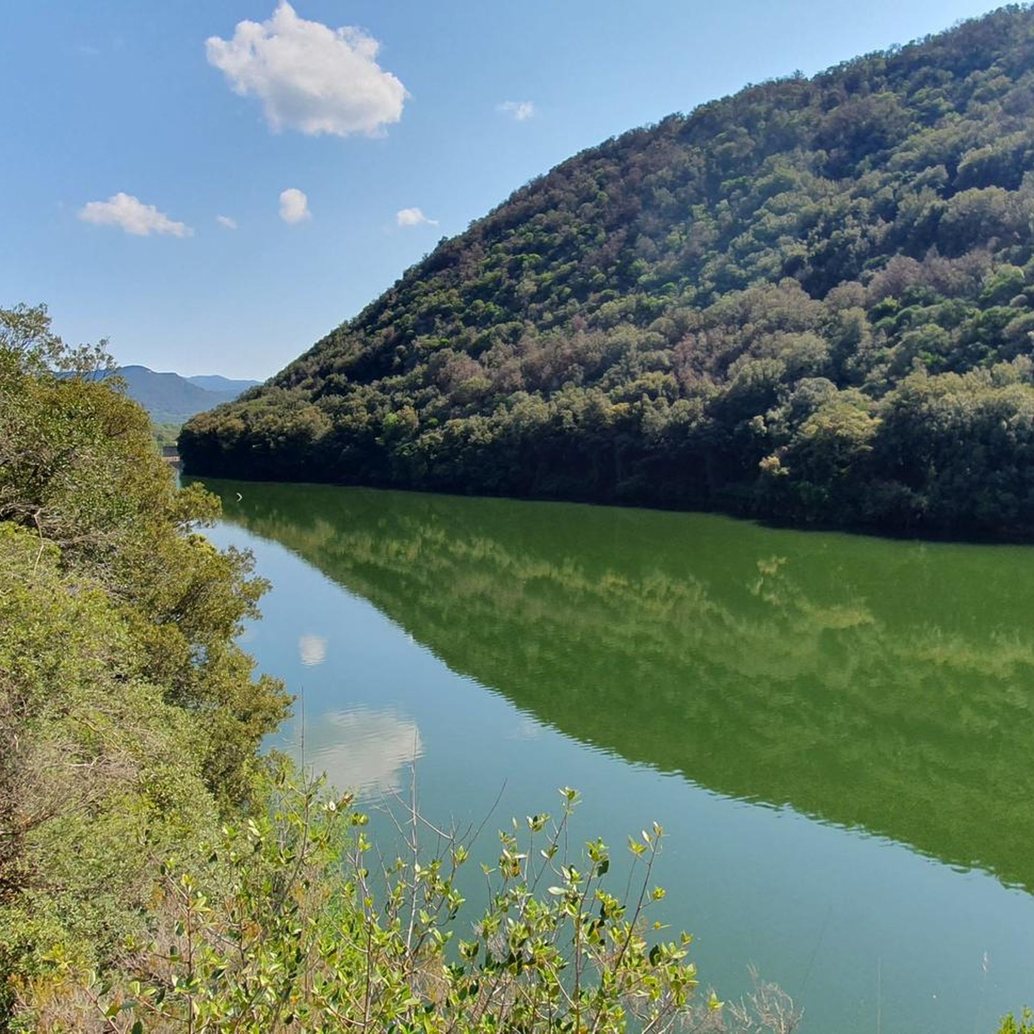
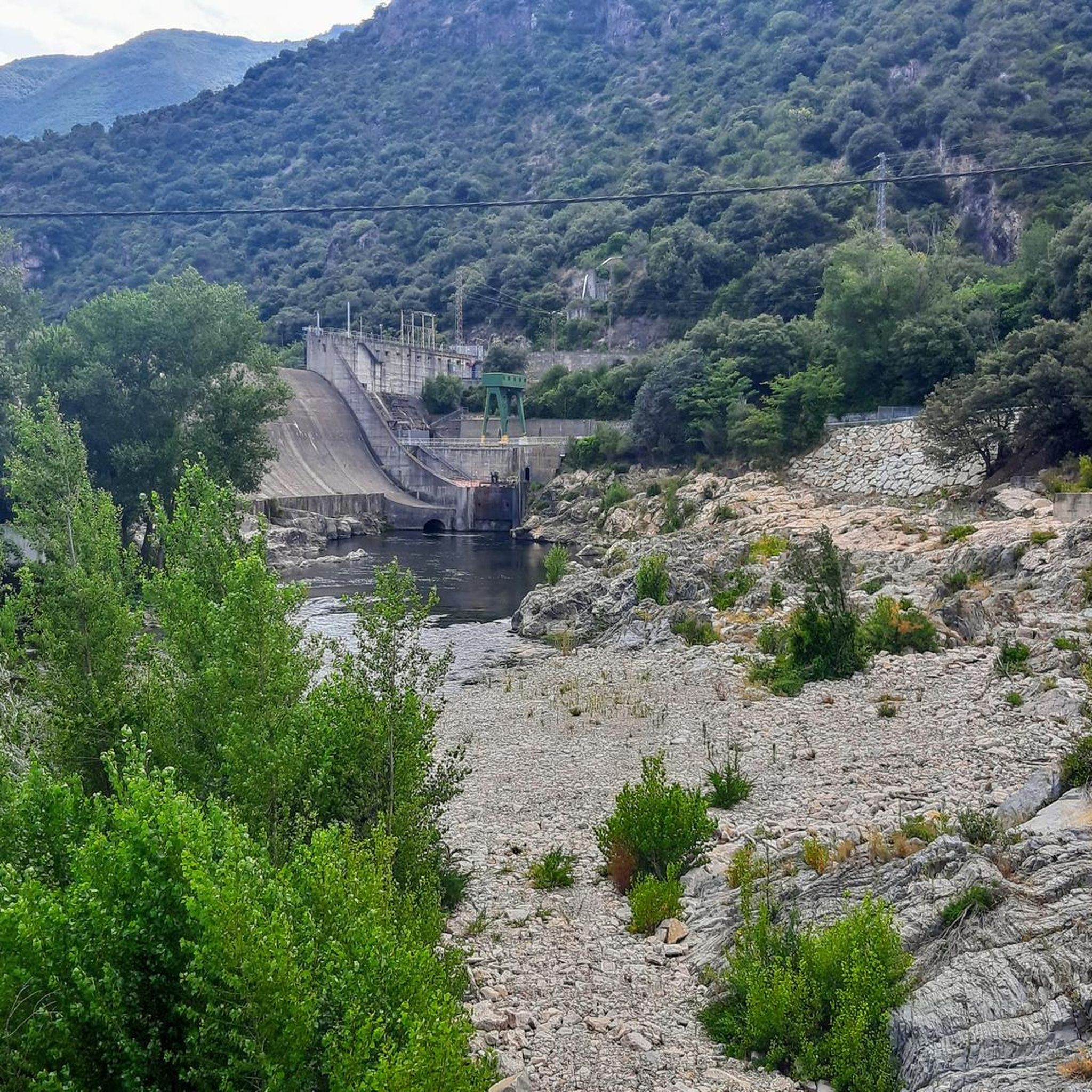
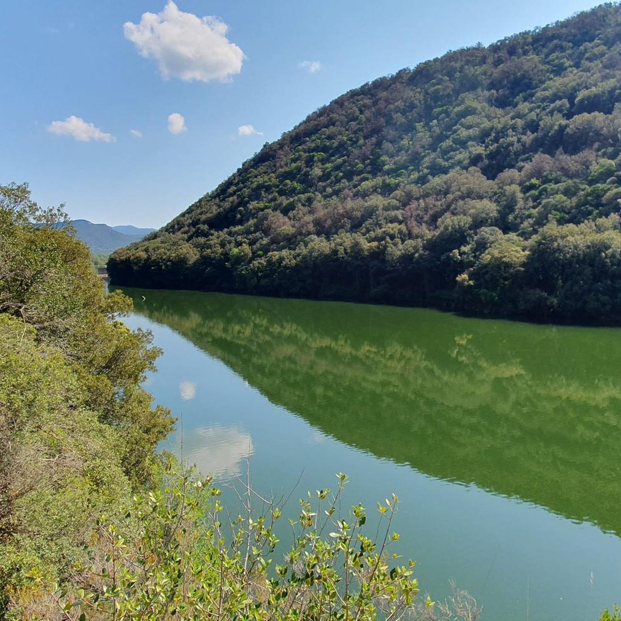
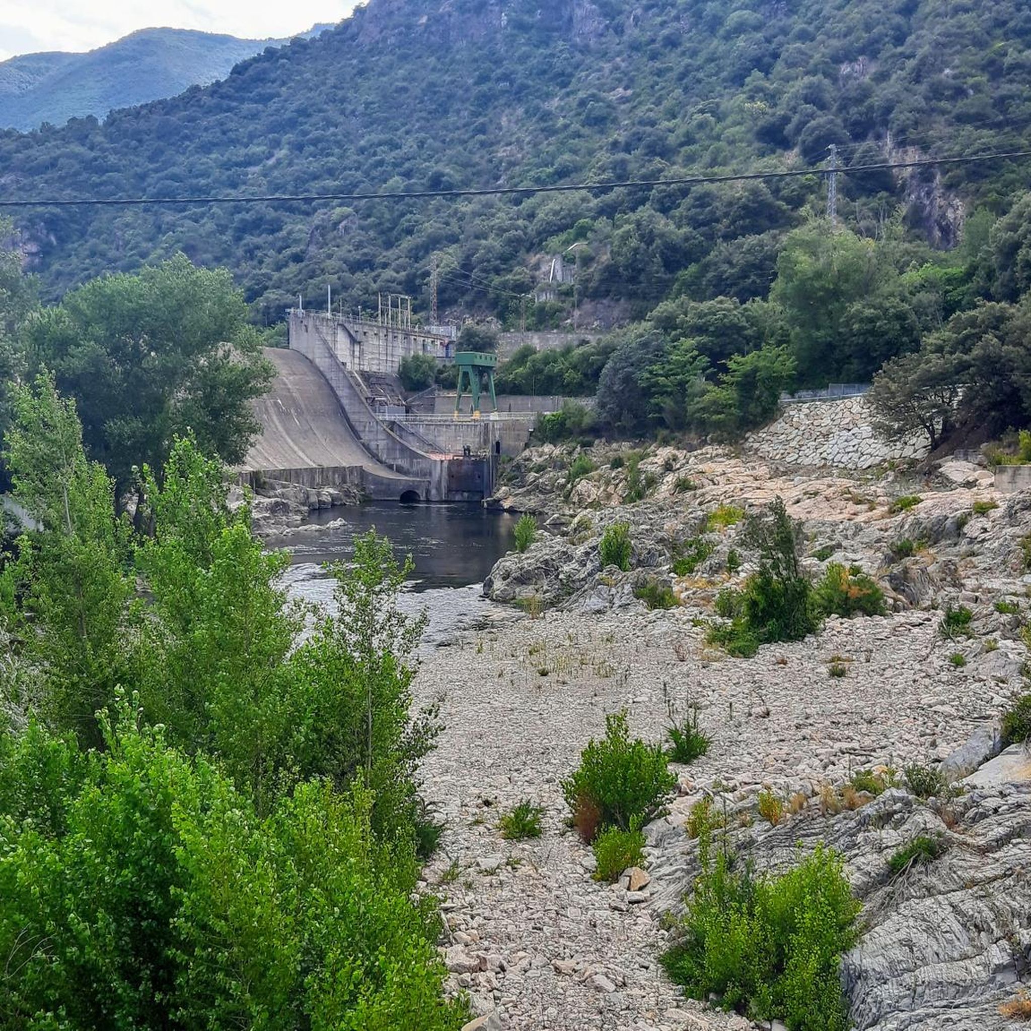
Hiking around La Cellera De Ter offers diverse landscapes, situated between the Guilleries massif and the Ter River. The region features mountainous slopes, fertile plains, and abundant water sources, including the Ter River and the Pasteral reservoir. Prominent features include the Puigdefrou mountain and extensive forests within a protected natural space. This varied terrain provides a range of hiking opportunities.
Best hiking trails around La Cellera De Ter
- The most popular hiking route is Font del Bassi – Puig d’Afrou…
Last updated: October 2, 2026
4.3
(3)
28
hikers
12.9km
04:10
550m
550m
Moderate hike. Good fitness required. Easily-accessible paths. Suitable for all skill levels.
30
hikers
13.0km
04:35
710m
710m
Moderate hike. Good fitness required. Easily-accessible paths. Suitable for all skill levels.

5.0
(3)
20
hikers
7.86km
03:15
640m
640m
Moderate hike. Good fitness required. Easily-accessible paths. Suitable for all skill levels.
2.6
(5)
8
hikers
7.31km
02:23
340m
340m
Moderate hike. Good fitness required. Easily-accessible paths. Suitable for all skill levels.
6
hikers
10.5km
03:46
540m
540m
Moderate hike. Good fitness required. Mostly accessible paths. Sure-footedness required.
Get access to more routes and recommendations from other explorers.
Already have an account?
Our route recommendations are based on thousands of hikes, rides, and runs completed by other people on komoot.
Start today with a free account
Your next adventure awaits.

Tips from the Community

The most representative summit of Cellera del Ter that rises to 839 meters from where you can see the Pica de Canigó and the Medes Islands.
4
0

A set of cracks that opened as a result of the earthquakes of the 15th century, which apparently still detect gas emissions related to the seismic activity in the area.
1
1

Spectacular views of the Plana de la Selva and the Guilleries, a must-see.
0
0
843 meters. It is the mountain that governs the valley of the Cellera de Ter. From the summit we will contemplate splendid views towards the valley, the plain of the Forest and the mountains of the Guilleries. The large wooden cross was first installed in 1966 by the Scout Group of the same name.
0
0

Steep climb to arrive up to Puig d'Afrou but worth the effort, you have a 360º view of all mountains near by
0
0
Accessing the top of the Mamella block set requires a small climb, no complications, but with two long steps that require a bit of attention. Therefore, be careful at this point if children or short-legged people come up.
1
1
Surprising, for its dimensions, jumping from the water to the stream of Gorners, just below the Mamella. We saw it with plenty of water in August, but in the fall and after heavy rains, it must be magnificent.
1
1
Magnificent fountain, arranged by the people of La Cellera, with shade, fresh water and a place to rest for a while on the way to Puig d'Afrou or the Salt de l'Olla.
2
1
Frequently Asked Questions
What kind of terrain can I expect on hikes around La Cellera de Ter?
The terrain around La Cellera de Ter is diverse, ranging from the rugged, forested slopes of the Guilleries massif to the fertile plains along the Ter River. You'll encounter mountainous paths, riverside trails, and areas with ancient quarries. The region is rich in water sources, including the Ter River, the Pasteral reservoir, and the Osor stream, which contribute to varied landscapes.
Are there any easy hiking trails suitable for beginners in La Cellera de Ter?
Yes, while most routes are moderate, there is at least one easy trail available. The region's network of paths offers options for different ability levels, including gentler walks along the Ter River banks and sections of the Greenway (Vía Verde del Carrilet).
What are some notable natural features or landmarks to look out for on hikes?
Hikers can explore the prominent Puigdefrou mountain, which offers panoramic views. The Ter River banks are a protected natural area, and the Pasteral reservoir is a significant landmark. You might also encounter ancient quarries and the Pasteral caves, considered important in the Guilleries massif. For specific viewpoints, consider visiting the Viewpoint Over the Fornils Valley and Susqueda Reservoir.
Are there any circular hiking routes in La Cellera de Ter?
Yes, many routes in the area are circular. For example, the Font del Bassi loop from la Cellera de Ter is a moderate 7.3 km trail. Other circular options include the 'Route of the Quarries' and 'El Secret de la Cellera de Ter', which highlight the region's natural and historical value.
What do other hikers say about the trails in La Cellera de Ter?
The hiking routes in La Cellera de Ter are highly regarded by the komoot community, holding an average rating of 4.3 stars from over 240 reviews. More than 2,200 hikers have explored the area, often praising the diverse terrain and well-maintained paths.
Can I find trails that offer views of lakes or reservoirs?
Absolutely. The region is known for its water sources. The Pasteral reservoir is a key feature, and you can find routes that explore areas near it, such as the Font del Bassi – Salt de l'Olla de Gorners loop from el Pasteral. The Susqueda Reservoir is also a notable nearby attraction with scenic viewpoints.
Are there any trails that go through mountain passes?
Yes, the mountainous Guilleries massif features several passes. You can find highlights like Coll de Condreu and Sant Martí Sacalm in the vicinity, offering opportunities for more challenging ascents and descents.
What is the typical duration for a moderate hike in this area?
Moderate hikes in La Cellera de Ter typically range from 2.5 to 4.5 hours. For instance, the Font del Bassi – Puig d’Afrou loop from la Cellera de Ter is about 4 hours and 12 minutes, while the Puig D'Afrou – Puigdefrou loop from la Cellera de Ter takes around 3 hours and 15 minutes.
Are there any trails that follow rivers or streams?
The Ter River flows through La Cellera de Ter, and its banks are a protected natural area, offering pleasant riverside walks. The 'Camino del Agua' (Water Path) is a specific itinerary that passes by the La Canal wash house and concludes at the Sales stream, highlighting the area's aquatic richness.
What is the elevation gain like on the trails around La Cellera de Ter?
The elevation gain varies depending on the route. Moderate trails often feature significant ascents, especially those venturing into the Guilleries massif. For example, the Puig d’Afrou – Font del Bassi loop from la Cellera de Ter involves over 700 meters of elevation gain, while shorter moderate loops might have around 300-500 meters.
Are there any historical sites or points of interest along the hiking paths?
Yes, the region has historical interest. You can explore ancient quarries where marble and granite walls are still visible, particularly on the 'Route of the Quarries'. The Pasteral caves also offer a significant natural and archaeological attraction within the Guilleries massif.
Most popular routes around La Cellera De Ter
Most popular attractions around La Cellera De Ter

Get inspired with the komoot mobile app


Explore more
Browse the best Hikes in other regions.
