Réserve naturelle du versant Nord des pics de Combeynot
Réserve naturelle du versant Nord des pics de Combeynot
The best mountain hikes around Réserve naturelle du versant Nord des pics de Combeynot
5.0
(17)
141
hikers
10
hikes
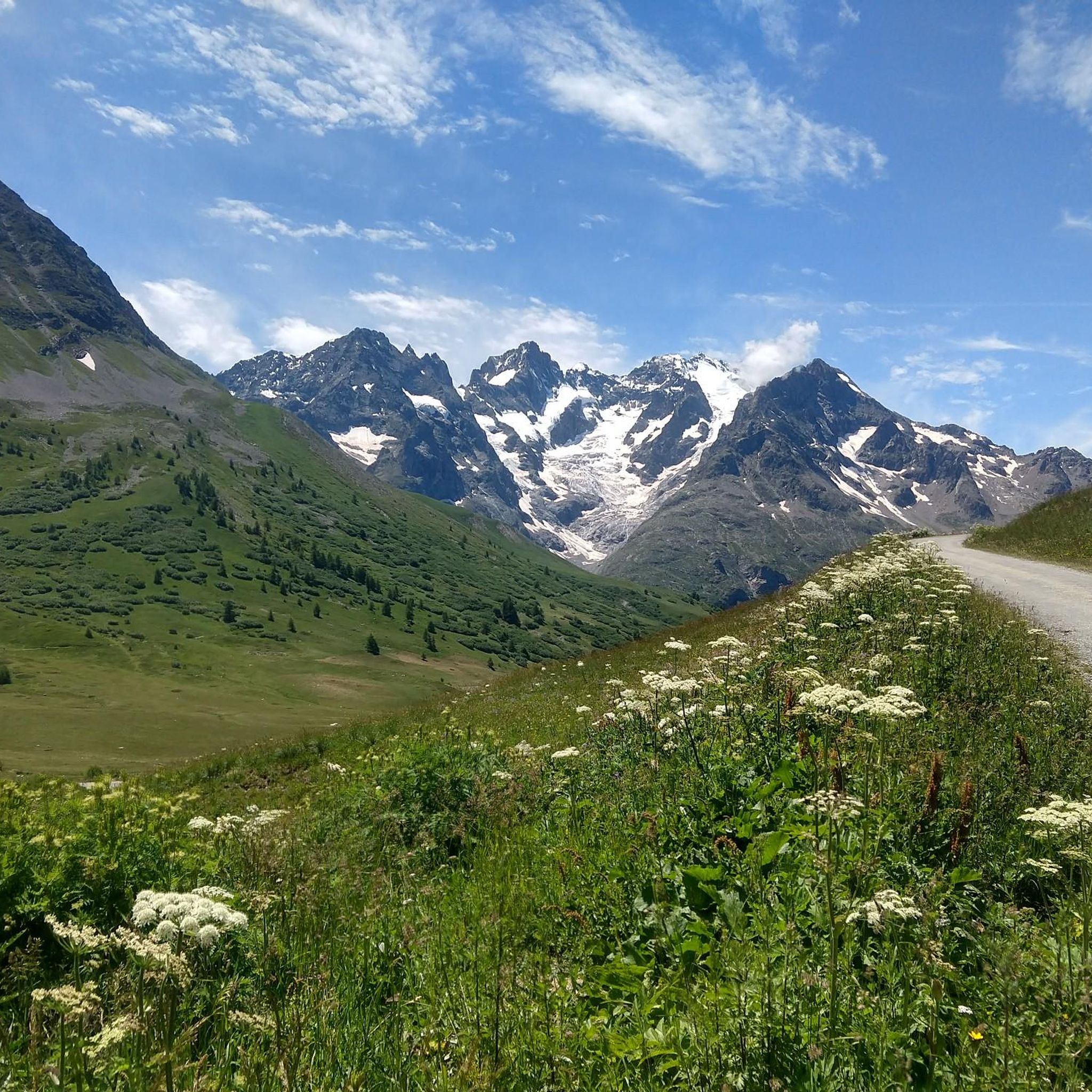
Mountaineering routes around Réserve naturelle du versant Nord des pics de Combeynot traverse dramatic alpine landscapes within the Écrins National Park. The region features prominent summits such as Pic Ouest de Combeynot and Pic Est de Combeynot, alongside significant glacial formations like Lac de Combeynot and the Arsine glacier lakes. Its diverse ecosystems include alpine meadows, rocky slopes, and larch forests, with a geological composition of granite and gneiss. This area offers an authentic high-mountain experience with challenging terrain.
Best…
Last updated: May 20, 2026
13
hikers
23.1km
11:01
1,450m
1,450m
Hard mountaineering route. Very good fitness required. Sure-footedness, sturdy shoes and alpine experience required.
5.0
(1)
18
hikers
25.9km
11:11
1,380m
1,380m
Hard mountaineering route. Very good fitness required. Mostly accessible paths. Sure-footedness required.

Sign up for free
4
hikers
4.34km
02:14
360m
360m
Hard mountaineering route. Good fitness required. Sure-footedness, sturdy shoes and alpine experience required.
13
hikers
9.15km
03:42
710m
710m
Hard mountaineering route. Good fitness required. Sure-footedness, sturdy shoes and alpine experience required.
5.0
(3)
12
hikers
7.23km
03:40
580m
580m
Moderate mountaineering route. Good fitness required. Mostly accessible paths. Sure-footedness required.
Get access to more routes and recommendations from other explorers.
Sign up for free
Already have an account?
Our route recommendations are based on thousands of hikes, rides, and runs completed by other people on komoot.
Start today with a free account
Your next adventure awaits.
Login or Signup
Popular around Réserve naturelle du versant Nord des pics de Combeynot

8 hikes in the Hautes-Alpes — mountain passes and high-altitude lakes
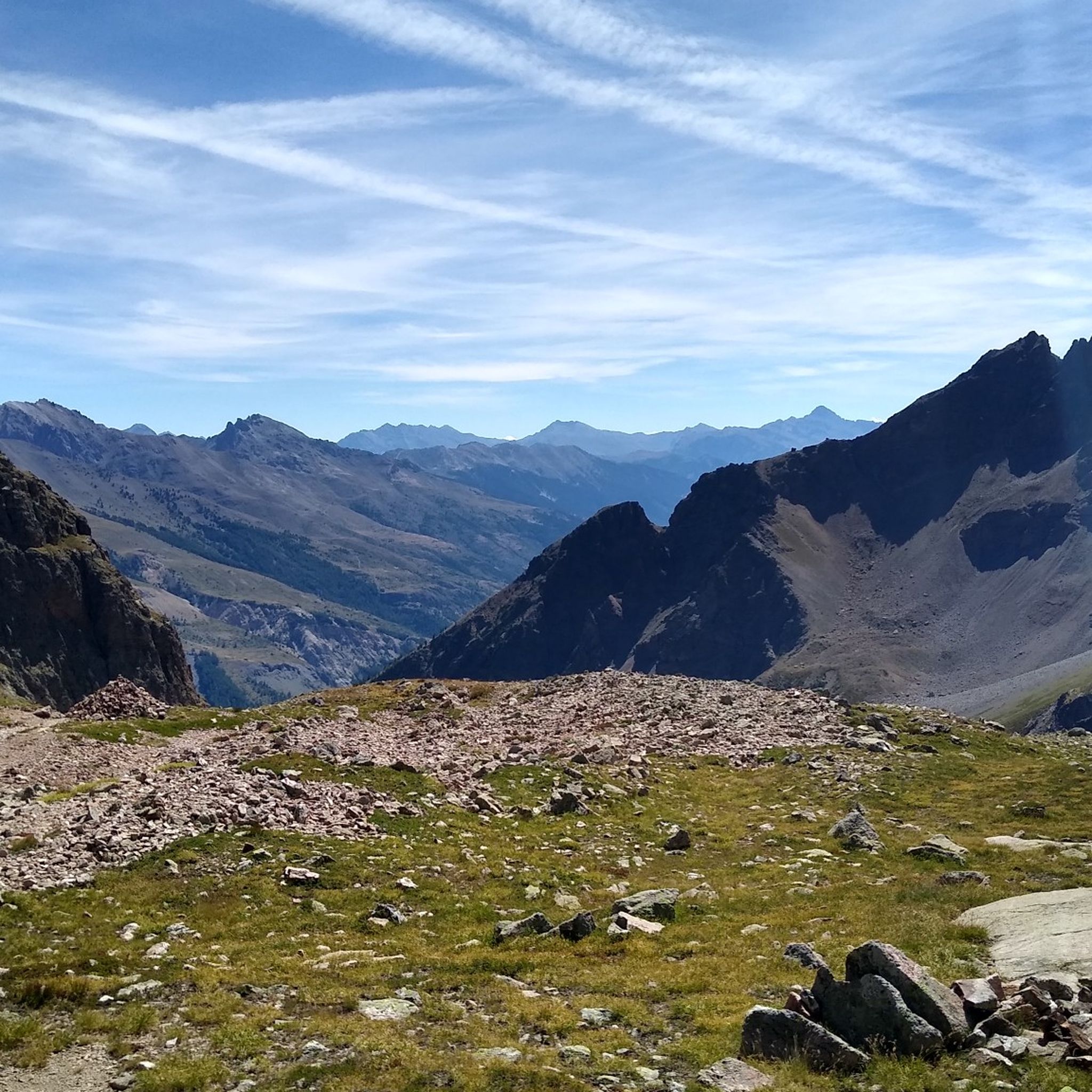
Hiking around Réserve naturelle du versant Nord des pics de Combeynot
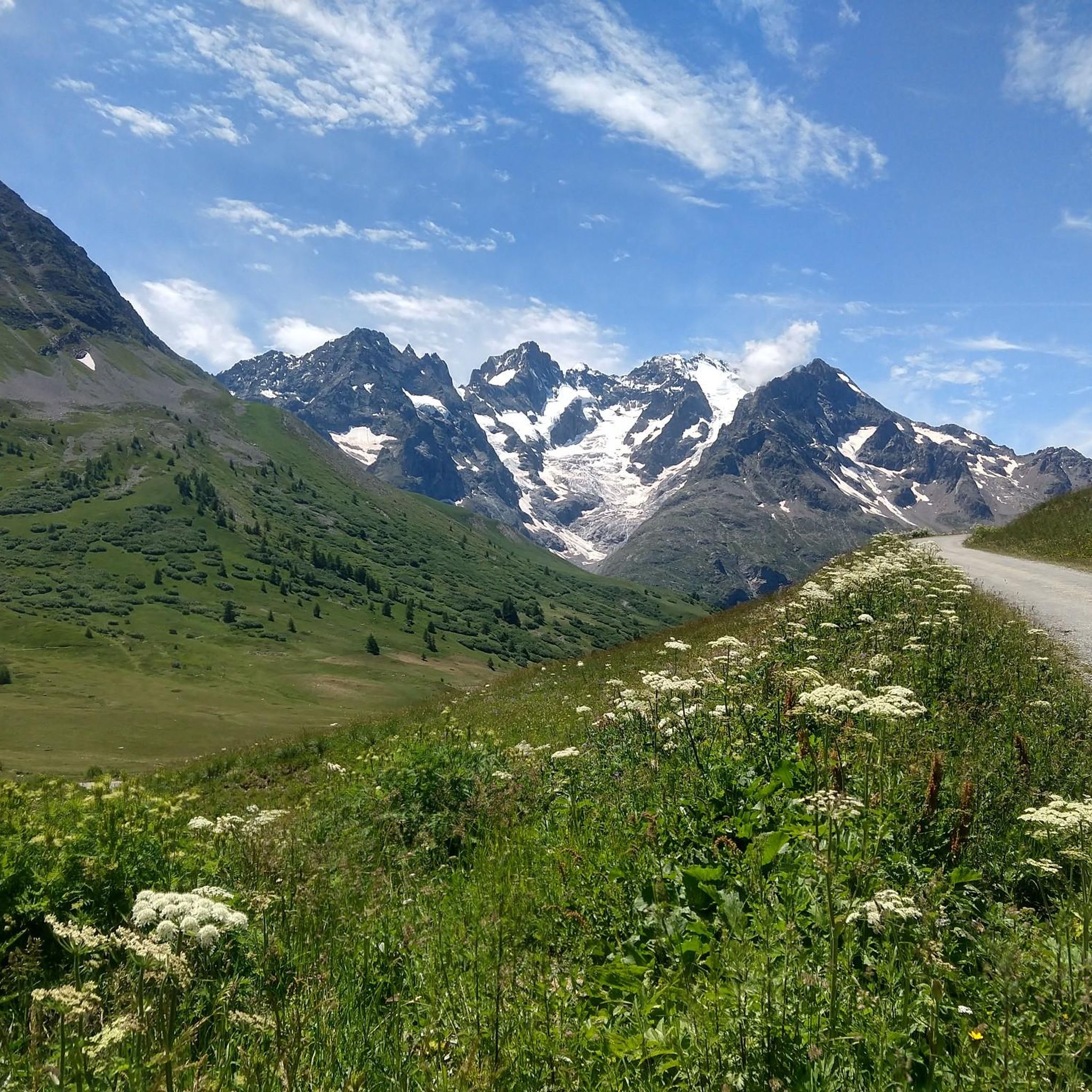
Road Cycling Routes around Réserve naturelle du versant Nord des pics de Combeynot
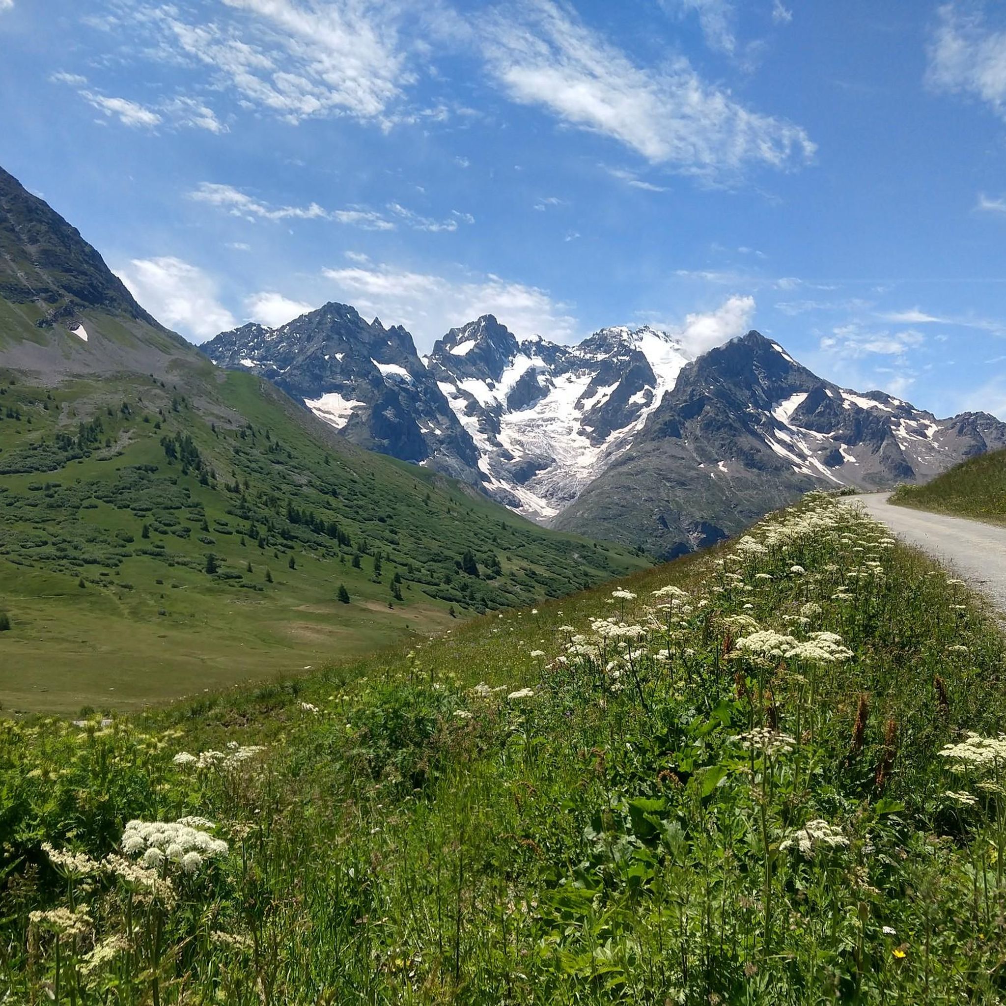
Cycling around Réserve naturelle du versant Nord des pics de Combeynot
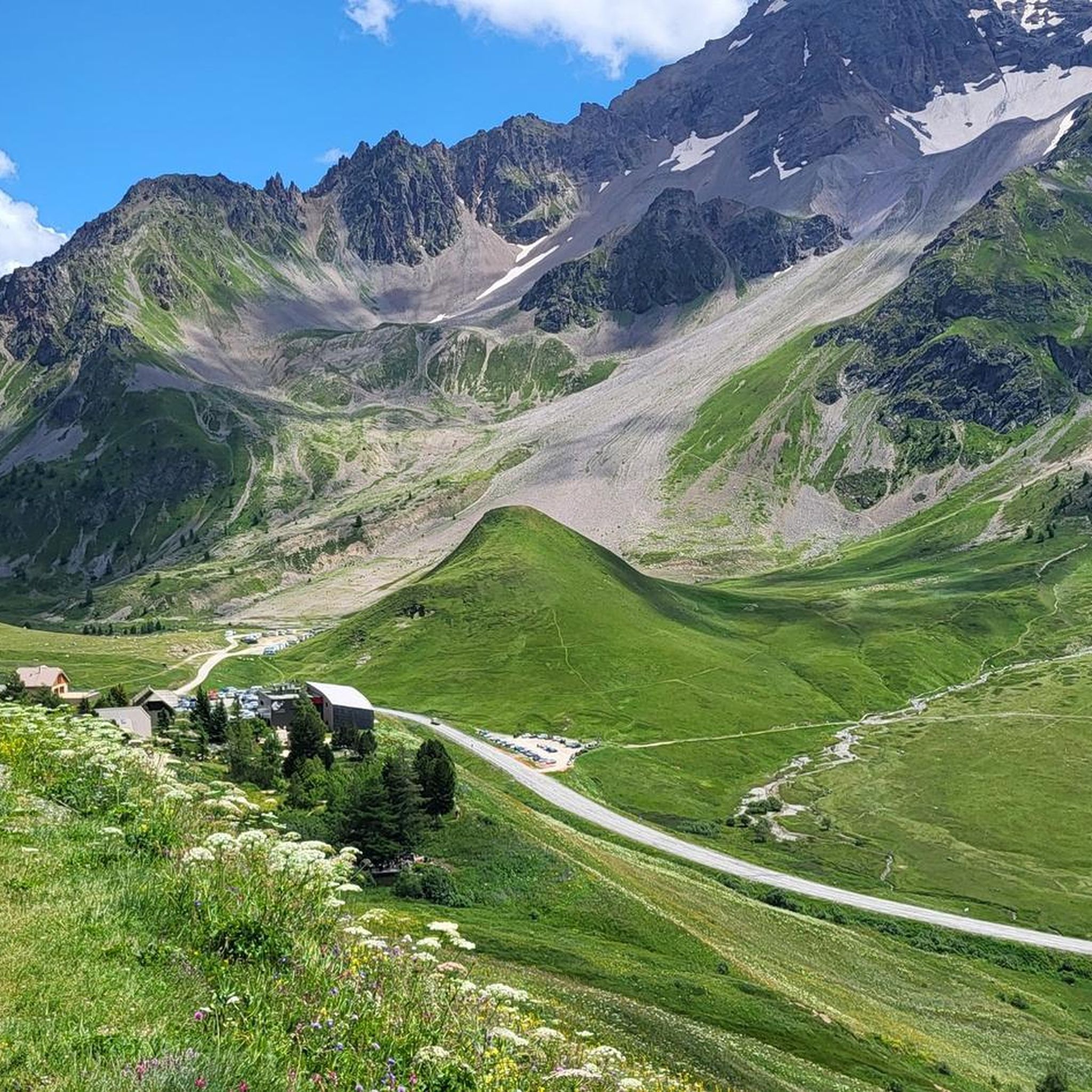
Running Trails around Réserve naturelle du versant Nord des pics de Combeynot
MTB Trails around Réserve naturelle du versant Nord des pics de Combeynot

Gravel biking around Réserve naturelle du versant Nord des pics de Combeynot
Other adventures around Réserve naturelle du versant Nord des pics de Combeynot

Tips from the Community

Make sure you're up there before 2 p.m. if you want to eat. In the summer, after 2 p.m., only drinks or cake are allowed.
0
0

Cozy mountain hut on an azure lake with views of snow-capped peaks. Perfect for a drink and homemade cake after a strenuous climb. Even better: stay overnight, because it's cozy and the food is delicious! Book early, as beds are limited and demand is high.
0
0


The springs are not very spectacular, they appear in the form of resurgences under the scree
0
0

Magnificent refuge on the edge of Lake Goléon with a view of the Ecrins
0
0

Refuge with good food and drinks if you want to give yourself a decent treat after quite a steep climb.
0
0

The source is not here, it is a little higher up. It is nevertheless a very pretty little lake, probably a resurgence.
0
0

From this location you can admire the Meije glaciers which are revealed one after the other as you advance. An unmissable spectacle in the Écrins.
0
0
Frequently Asked Questions
What kind of mountaineering experience can I expect in Réserve naturelle du versant Nord des pics de Combeynot?
The Réserve naturelle du versant Nord des pics de Combeynot offers a genuine high-mountain experience within the Écrins National Park. You'll encounter dramatic alpine landscapes, prominent summits like Pic Ouest and Pic Est de Combeynot, and significant glacial formations. The routes are primarily challenging, designed for experienced mountaineers seeking demanding expeditions across varied terrain, including rocky slopes and high-altitude passes.
Are there any circular mountaineering routes in the area?
Yes, several challenging circular routes are available. For instance, the Adèle Planchard Hut loop from Les Voutes is a demanding 23.1 km trail that typically takes around 11 hours to complete. Another option is the Refuge du Pavé loop from Groupe Scolaire La Meije, a 25.5 km path offering extensive views and challenging ascents.
What are some notable natural features or landmarks to look out for?
The region is rich in natural beauty. You'll find impressive glacial formations such as Lac de Combeynot and the Arsine glacier lakes. Prominent peaks like La Meije, Pic de Rochebrune, and Agneaux mountain are visible. The Gorges de la Romanche, sculpted by the Romanche river, offers dramatic scenery. You can also enjoy the View Over the Gorges de la Romanche or the stunning vistas from Col du Laurichard.
Are there any shorter, yet still challenging, mountaineering options?
While most routes are long and demanding, you can find some shorter, difficult options. The View loop from Col du Galibier is a challenging 4.37 km route that can be completed in about 2 hours 15 minutes. Another option is the Handrail, steep passage – The Grand Lake loop from Pont de l'Alp, which is 8.36 km and takes approximately 4 hours.
What is the best time of year for mountaineering in this reserve?
The best time for mountaineering in Réserve naturelle du versant Nord des pics de Combeynot is typically during the summer months, from late June to early September, when snowmelt allows for better access to higher elevations and trails are generally clearer. However, conditions can change rapidly in the mountains, so always check local weather forecasts and trail conditions before heading out.
Where can I park when visiting the Réserve naturelle du versant Nord des pics de Combeynot?
Parking is available at various access points to the reserve. A convenient option is the Parking at Col du Lautaret, which serves as a starting point for several tours, including the multi-day Tour of the Combeynot Peaks.
Can I spot any wildlife while mountaineering here?
Yes, the diverse ecosystems of the Réserve naturelle du versant Nord des pics de Combeynot offer opportunities for wildlife spotting. Keep an eye out for local wildlife, including ibexes and various birds of prey, particularly in areas like the Gorges de la Romanche and higher alpine zones.
How difficult are the mountaineering routes in this region?
The mountaineering routes in Réserve naturelle du versant Nord des pics de Combeynot are predominantly classified as difficult. They involve significant elevation gain, long distances, and challenging high-mountain terrain, making them suitable for experienced mountaineers. There are no easy routes listed in this guide.
What do other mountaineers say about the routes in Réserve naturelle du versant Nord des pics de Combeynot?
The routes in Réserve naturelle du versant Nord des pics de Combeynot are highly rated by the komoot community, with an average score of 4.9 stars from over 20 reviews. Mountaineers often praise the dramatic alpine scenery, the challenging nature of the expeditions, and the authentic high-mountain atmosphere.
Are there any routes that lead to glacial lakes?
Absolutely. The region is known for its glacial formations. A notable route is the Lake of the Arsine Glacier loop from Villar-d'Arêne. This 18.6 km trail leads through stunning glacial valleys and alpine scenery, typically taking around 7 hours and 20 minutes to complete.
Is public transport available to reach the starting points of these routes?
While specific public transport details are not provided in the guide data, many mountain regions in France, including parts of the Écrins National Park, offer seasonal shuttle services or bus routes connecting villages and popular trailheads. It's advisable to check local transport schedules for the villages near your chosen starting point, such as Le Monêtier-les-Bains or Villar-d'Arêne, especially during peak season.
Most popular routes around Réserve naturelle du versant Nord des pics de Combeynot
Most popular attractions around Réserve naturelle du versant Nord des pics de Combeynot

Get inspired with the komoot mobile app


Explore more
Browse the best Mountain Hikes & Routes in other regions.
