Réserve naturelle de Ristolas - Mont-Viso
Réserve naturelle de Ristolas - Mont-Viso
The best walks and hikes around Réserve naturelle de Ristolas - Mont-Viso
4.6
(4968)
33,244
hikers
11
hikes
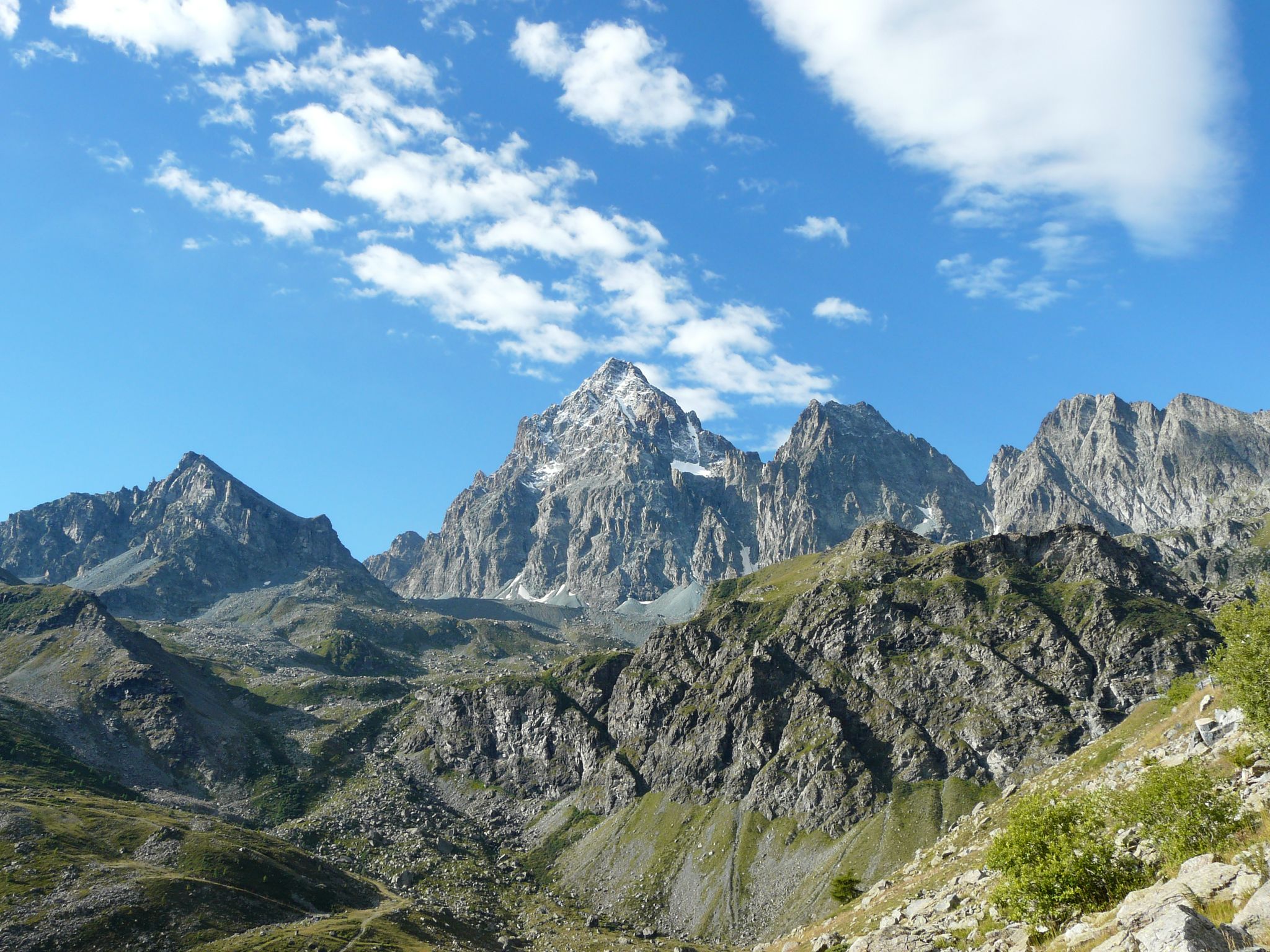
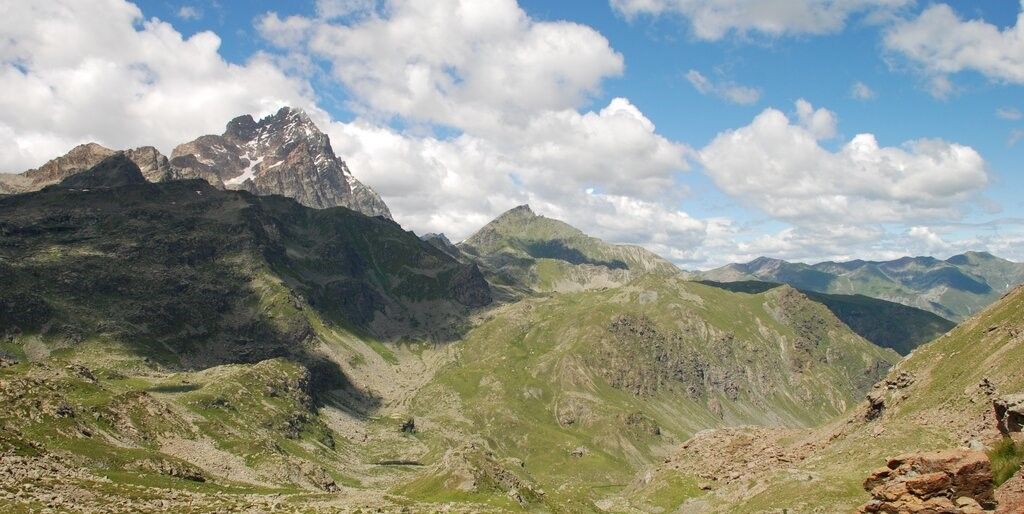
Hiking trails around Réserve naturelle de Ristolas - Mont-Viso traverse a high-altitude alpine environment, dominated by Mont Viso, the highest peak in the Southern Alps. The region features diverse geological formations, including gabbros and schists, shaped by ancient plate collisions. Numerous high-altitude lakes, such as Lago Fiorenza and Lago Chiaretto, dot the landscape, alongside the impressive gorges carved by the Guil River. The terrain ranges from alpine meadows and scree slopes to rocky passes, offering varied conditions for hiking.
Best…
Last updated: October 24, 2026
4.8
(25)
246
hikers
20.2km
09:22
1,330m
1,330m
4.9
(9)
102
hikers
10.1km
04:50
710m
710m

3.3
(3)
10
hikers
6.52km
03:30
590m
590m
5.0
(2)
31
hikers
Hard hike. Very good fitness required. Sure-footedness, sturdy shoes and alpine experience required.
5.0
(2)
18
hikers
9.49km
05:05
810m
810m
Hard hike. Very good fitness required. Sure-footedness, sturdy shoes and alpine experience required.
Get access to more routes and recommendations from other explorers.
Already have an account?
Our route recommendations are based on thousands of hikes, rides, and runs completed by other people on komoot.
Start today with a free account
Your next adventure awaits.
Popular around Réserve naturelle de Ristolas - Mont-Viso
Tour di Viso – Four days around the Stone King from Castello
Tour di Viso – Four days around the Stone King from Meire Dacant
Three days around il Re di Pietra ─ Giro di Viso from Castello
Cycling around Réserve naturelle de Ristolas - Mont-Viso
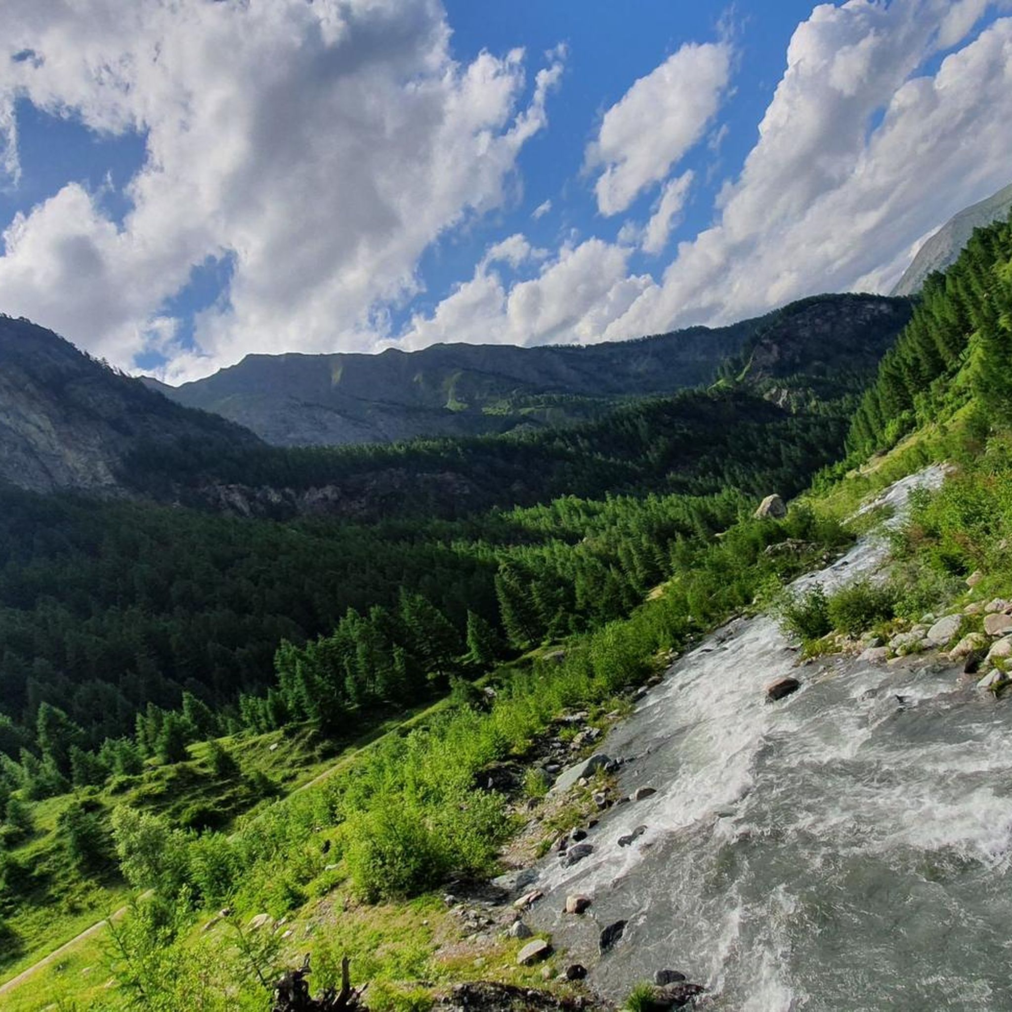
Road Cycling Routes around Réserve naturelle de Ristolas - Mont-Viso
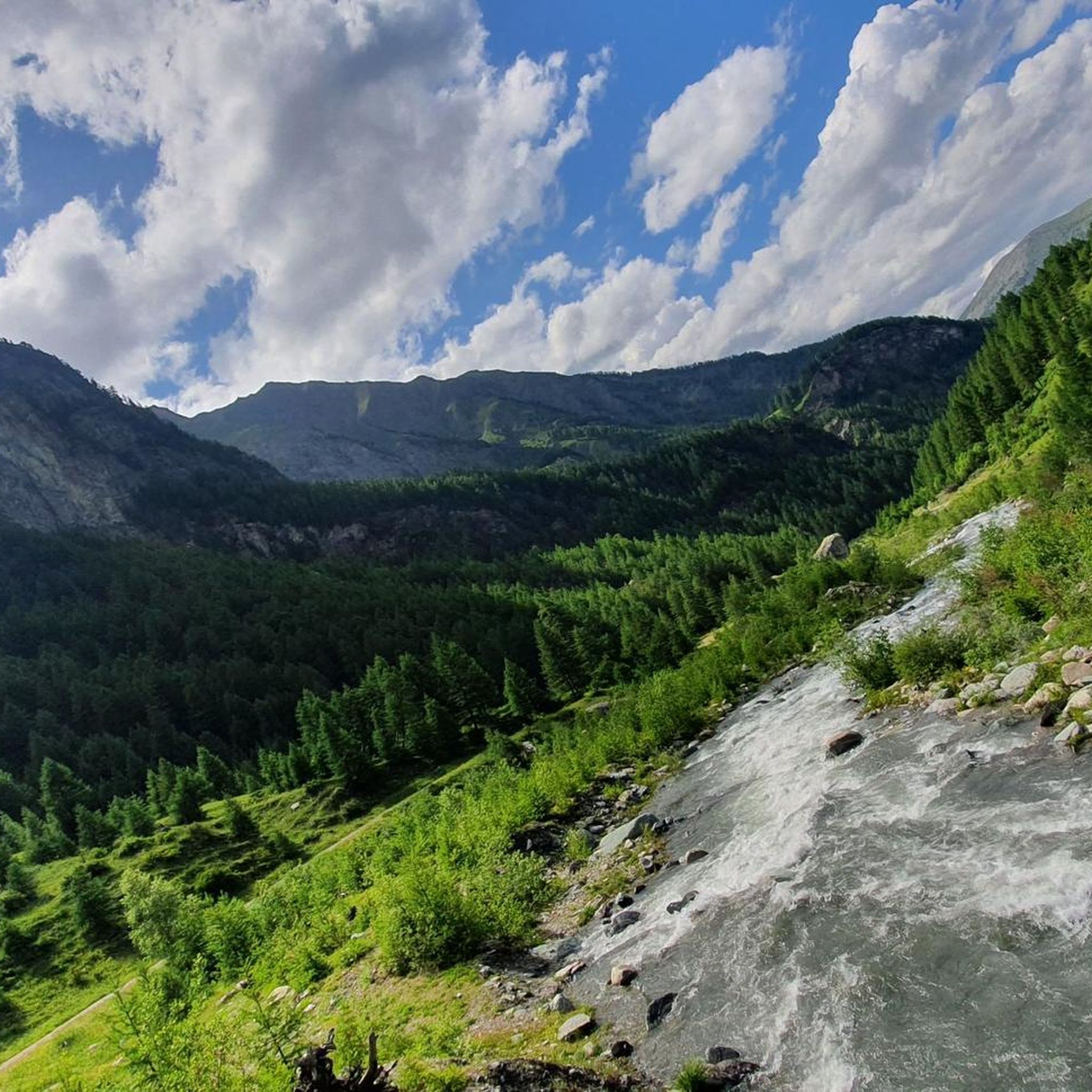
MTB Trails around Réserve naturelle de Ristolas - Mont-Viso
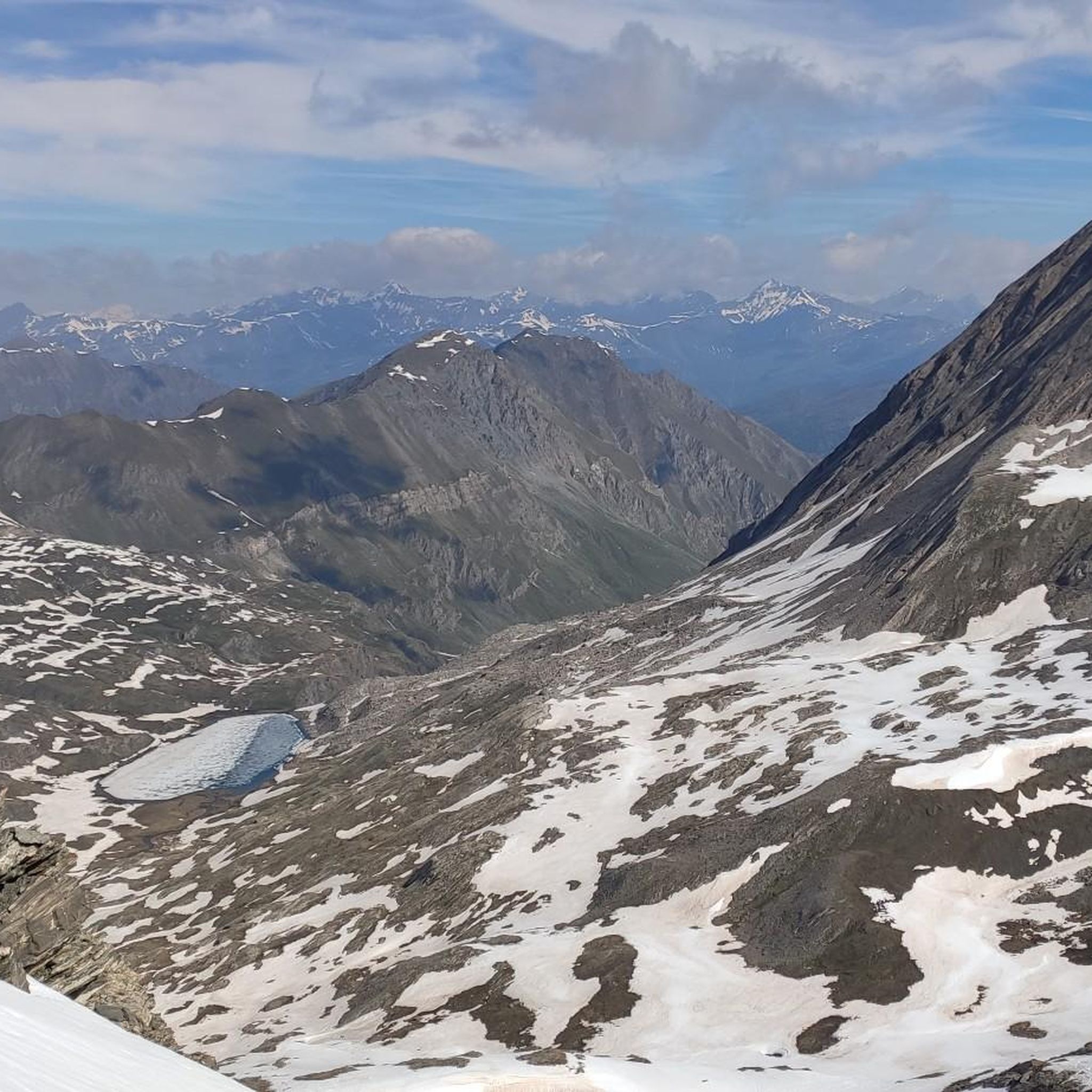
Running Trails around Réserve naturelle de Ristolas - Mont-Viso
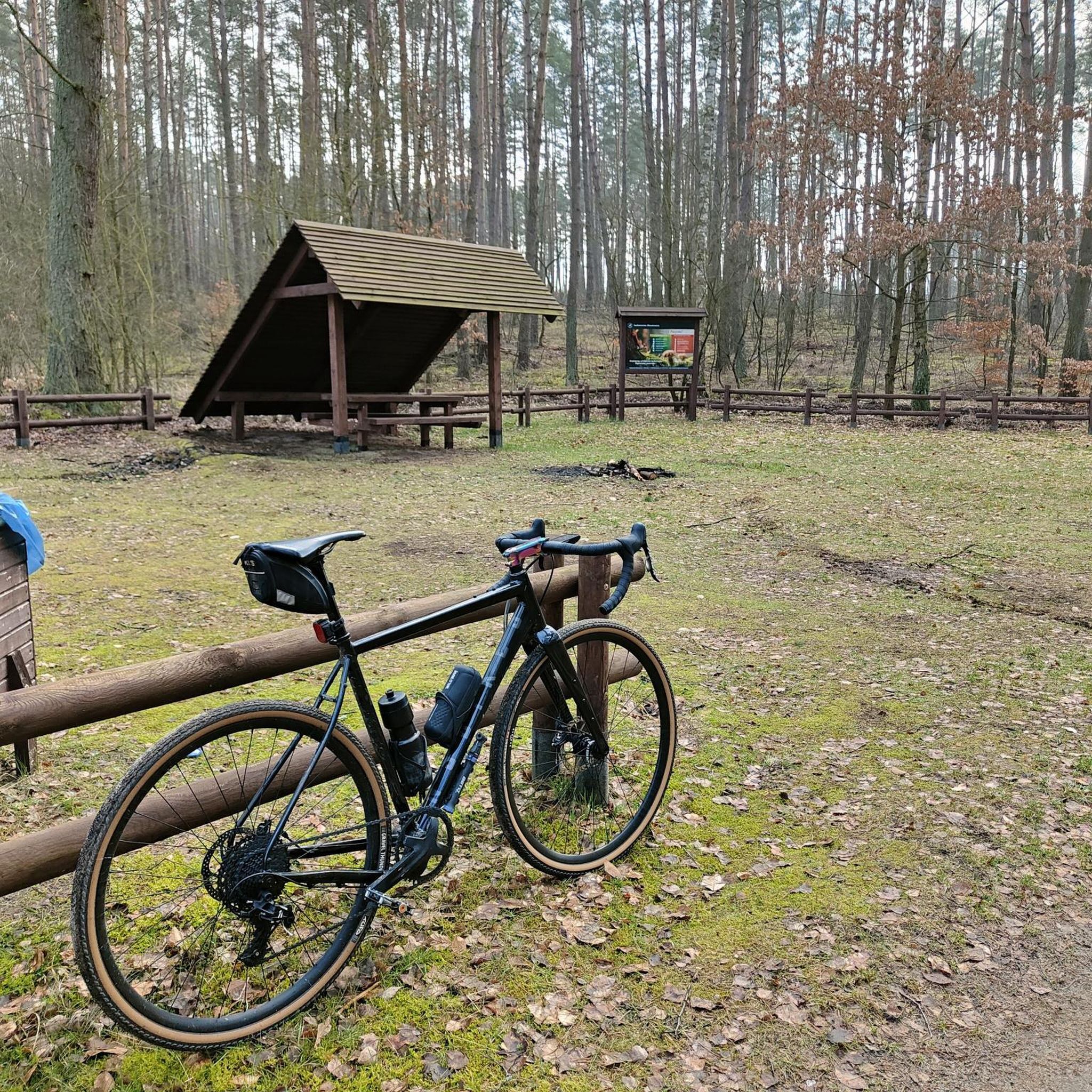
Mountain Hikes around Réserve naturelle de Ristolas - Mont-Viso

Gravel biking around Réserve naturelle de Ristolas - Mont-Viso
Other adventures around Réserve naturelle de Ristolas - Mont-Viso

Tips from the Community

Spectacular pass that allows passage from the Guil Valley to the Po Valley; the ascent from France is not particularly difficult from a technical point of view, while the descent into Italy requires great attention as the first section takes place on steep scree. On clear days, from the summit of the pass, it is possible to admire a panorama that reaches as far as Gran Paradiso. This pass, according to the most recent reconstructions, is said to have been crossed by Hannibal with his elephants on the descent towards Rome.
2
0

Exposed trail where the Edelweiss have founded a community! Beautiful!! Remember the 🚫prohibition🚫 of picking mountain flowers 🪻🥀🪷🌸🚫🚫.
0
0

From the lake onwards, the fun is over for mountain bikers; from there it's a steep uphill climb over huge boulders, requiring carrying, climbing, and lifting the bike. It's only for hardcore bikers, but it's a great area and a beautiful refuge.
2
0

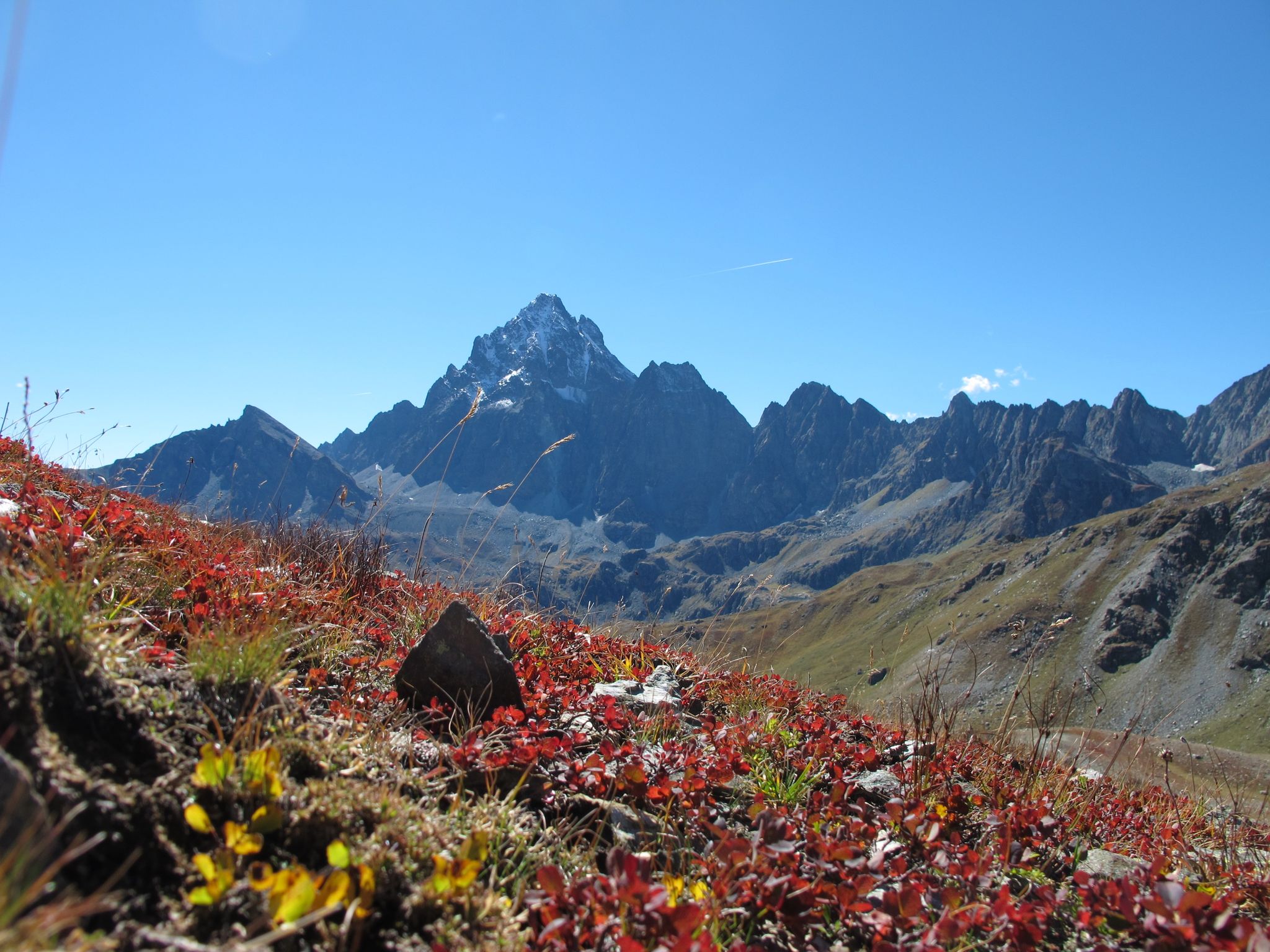
Breathtaking view of Monviso (if the snow doesn't hide it...)
1
0
If you plan to cross the pass as part of an Alpine cross-country bike ride, it's essential to lift and carry your bike over large boulders and rocks. Simply pushing isn't enough. The exit is very steep. An alternative route would be via the Col Agnel road.
0
0

Very rewarding summit with a technically demanding descent
0
0

Beautiful hill reachable from Buco di Viso (about 10-15 minutes) with a view of Monviso and France. I recommend the ascent from the Italian side, more exposed and steep, and the descent from the French side, returning to Italy through the tunnel.
1
0
From Plain Mait you can see in the distance the Casermette that precede the Buco di Viso
0
0
Frequently Asked Questions
How many hiking trails are available in Réserve naturelle de Ristolas - Mont-Viso?
There are over 10 distinct hiking trails documented in Réserve naturelle de Ristolas - Mont-Viso on komoot, offering a variety of experiences for all skill levels. These routes have been explored by more than 22,000 hikers.
What makes the landscape of Réserve naturelle de Ristolas - Mont-Viso unique for hiking?
The region is dominated by Mont Viso, the highest peak in the Southern Alps, offering majestic views. Its unique geology, shaped by ancient plate collisions, has created diverse rock formations. Hikers will also discover numerous pristine high-altitude lakes and impressive gorges carved by the Guil River.
Are there any easy or family-friendly hiking options in the area?
Yes, while many trails are challenging, there are options suitable for families and beginners. The extensive network of trails in the surrounding Queyras Regional Natural Park includes routes catering to various experience levels. Look for trails marked as 'easy' or 'moderate' for a more relaxed experience.
What kind of wildlife can I expect to see while hiking?
The reserve is a hotspot for biodiversity. You might spot the variable hare, chamois, and ibex. Alpine birds like the Alpine accentor, black grouse, and rock ptarmigan are also present. Uniquely, the emblematic Lanza salamander is an endemic species found exclusively in the Mont Viso massif.
Are there any notable landmarks or attractions along the hiking routes?
Absolutely. Hikers can explore the historic Tunnel de la Traversette (Buco di Viso), a 15th-century trade route. Other points of interest include the Vallanta Pass, the Mont Viso Grand Viewpoint, and the impressive Guil River.
What is the best time of year to go hiking in Réserve naturelle de Ristolas - Mont-Viso?
The Southern Alps benefit from approximately 300 days of sunshine annually, making for generally pleasant hiking conditions. The summer and early autumn months (June to September) are typically ideal, offering accessible trails and favorable weather for exploring the high-altitude terrain.
Are there any multi-day hiking opportunities, such as circular routes?
Yes, the region is famous for multi-day treks. The renowned Tour of Mont Viso can be completed in various durations, typically ranging from 2 to 10 days. For a challenging day-long circular route, consider the Vallanta Pass – Losetta Pass loop from Ristolas - Mont-Viso.
What are some of the more challenging hikes available?
For experienced hikers, there are several difficult routes. The Via Alpina Blue Trail: Stage D47 is a demanding 20.2 km trail with significant elevation gain. Another difficult option is the Losetta Pass – Vallanta Hut loop, offering rugged alpine terrain.
Are there high-altitude lakes to visit on the trails?
Yes, the area is dotted with dozens of pristine high-altitude lakes. Notable examples include Lago Fiorenza, Lago Chiaretto, and Lago Grande di Viso, which add to the scenic beauty of the hiking routes.
What do other hikers say about the trails in Réserve naturelle de Ristolas - Mont-Viso?
The trails in Réserve naturelle de Ristolas - Mont-Viso are highly rated by the komoot community, with an average score of 4.6 stars from over 3,000 reviews. Hikers often praise the stunning panoramic views, the diverse alpine landscapes, and the well-maintained network of paths.
Is there accommodation or refuges available for hikers?
Yes, villages like Ristolas, Abriès, and Saint-Véran serve as convenient starting points and offer ample accommodation. Hikers will also find refuges at higher altitudes, such as the Viso Refuge, providing essential services for multi-day treks.
Are dogs allowed on the hiking trails?
While specific regulations can vary within a nature reserve, generally, dogs are permitted on trails in the Queyras Regional Natural Park, often on a leash. It's always advisable to check local signage or park authority guidelines for any specific restrictions within the Réserve naturelle de Ristolas - Mont-Viso itself, especially concerning protected wildlife areas.
Most popular routes around Réserve naturelle de Ristolas - Mont-Viso
Most popular attractions around Réserve naturelle de Ristolas - Mont-Viso

Get inspired with the komoot mobile app


Explore more
Browse the best Hikes in other regions.
