The best road cycling routes around Réserve naturelle de la baie de l'Aiguillon
4.3
(227)
5,731
riders
196
rides
Road cycling routes around Réserve naturelle de la baie de l'Aiguillon are characterized by predominantly flat terrain, making them accessible for various skill levels. This natural site, spanning both Vendée and Charente-Maritime, features vast mudflats and salt meadows, creating a dynamic interface between land and ocean. The region offers an extensive network of cycling paths, many of which are paved, providing a smooth riding experience through a unique environment. The area is connected to the larger Marais Poitevin Regional Natural Park, further expanding cycling opportunities.
Best road cycling routes around Réserve naturelle de la baie de l'Aiguillon
- The most popular road cycling route is La Dive – Porte des Portes loop from Le Rocher, a 24.3 miles (39.2 km) trail that takes 3 hours 19 minutes to complete. This moderate route offers views of the bay and its unique polders.
- Another top favourite among local road cyclists is Esnandes – Château de Courçon loop from Charron, a moderate 60.4 miles (97.2 km) path. This route traverses the expansive marshlands and agricultural landscapes of the area.
- Local road cyclists also love the Esnandes – Old Saint-Étienne Church loop from Esnandes, a 19.6 miles (31.5 km) trail leading through coastal villages and open fields, often completed in about 1 hour 15 minutes.
- Road cycling around Réserve naturelle de la baie de l'Aiguillon is defined by expansive mudflats, salt meadows, and estuaries. The network offers options for different ability levels, from easy family rides to longer, moderate excursions.
- The routes in Réserve naturelle de la baie de l'Aiguillon are highly rated by the komoot community with an average score of 4.2 stars from more than 200 reviews. More than 5,000 road cyclists have used komoot to explore Réserve naturelle de la baie de l'Aiguillon's varied terrain.
Last updated: July 1, 2026
5.0
(1)
8
riders
38.7km
03:19
30m
30m
Moderate road ride. Good fitness required. Some segments of this route may be unpaved and difficult to ride.
3.3
(3)
110
riders
63.1km
03:19
200m
200m
Moderate road ride. Good fitness required. Some segments of this route may be unpaved and difficult to ride.

Sign up for free
27
riders
98.8km
03:57
260m
260m
Moderate road ride. Good fitness required. Some segments of this route may be unpaved and difficult to ride.
5.0
(1)
19
riders
31.5km
01:16
60m
60m
Easy road ride. Great for any fitness level. Mostly well-paved surfaces and easy to ride.
3
riders
88.5km
03:28
260m
260m
Moderate road ride. Good fitness required. Mostly well-paved surfaces and easy to ride.
Get access to more routes and recommendations from other explorers.
Sign up for free
Already have an account?
Our route recommendations are based on thousands of hikes, rides, and runs completed by other people on komoot.
Start today with a free account
Your next adventure awaits.
Login or Signup
Popular around Réserve naturelle de la baie de l'Aiguillon
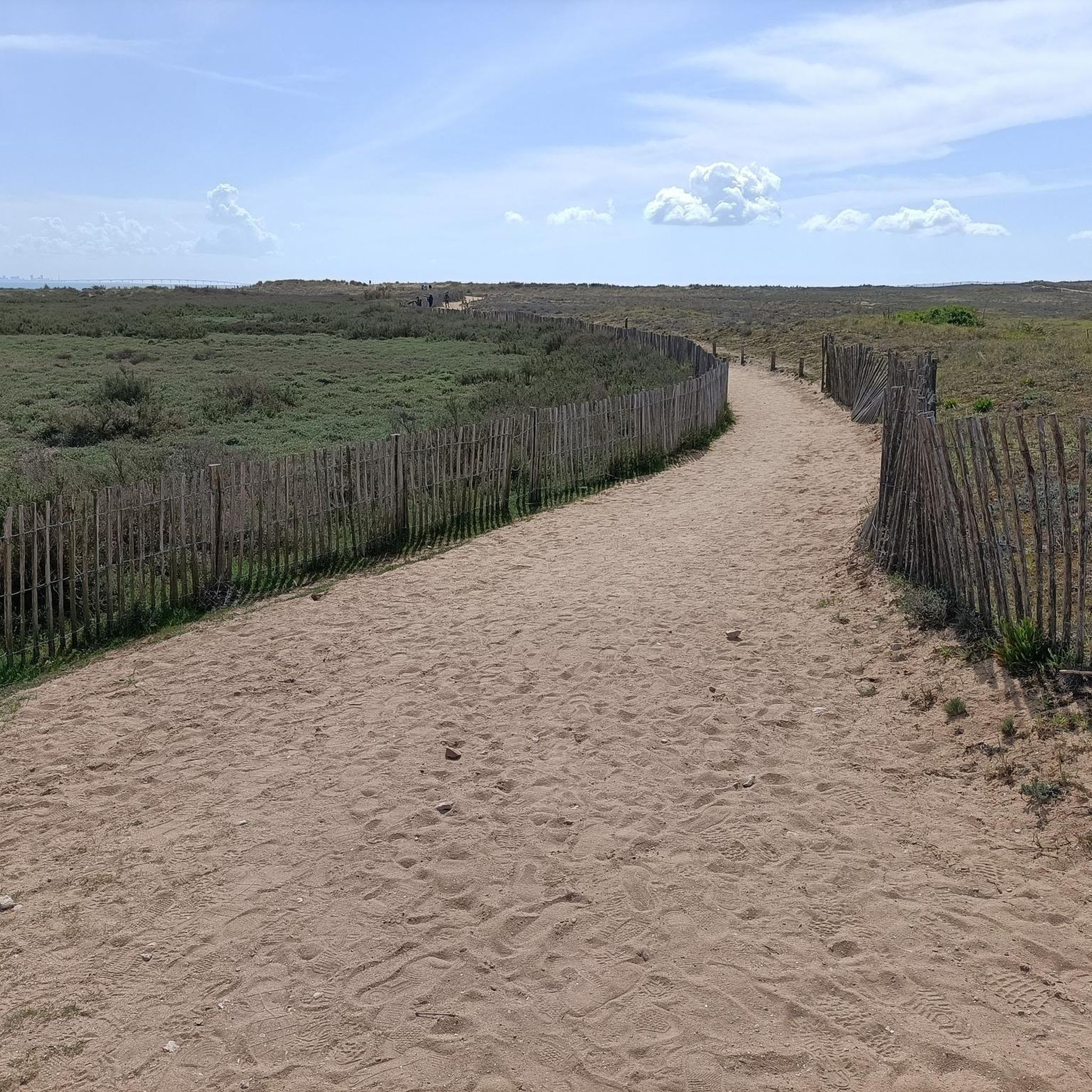
Running Trails around Réserve naturelle de la baie de l'Aiguillon
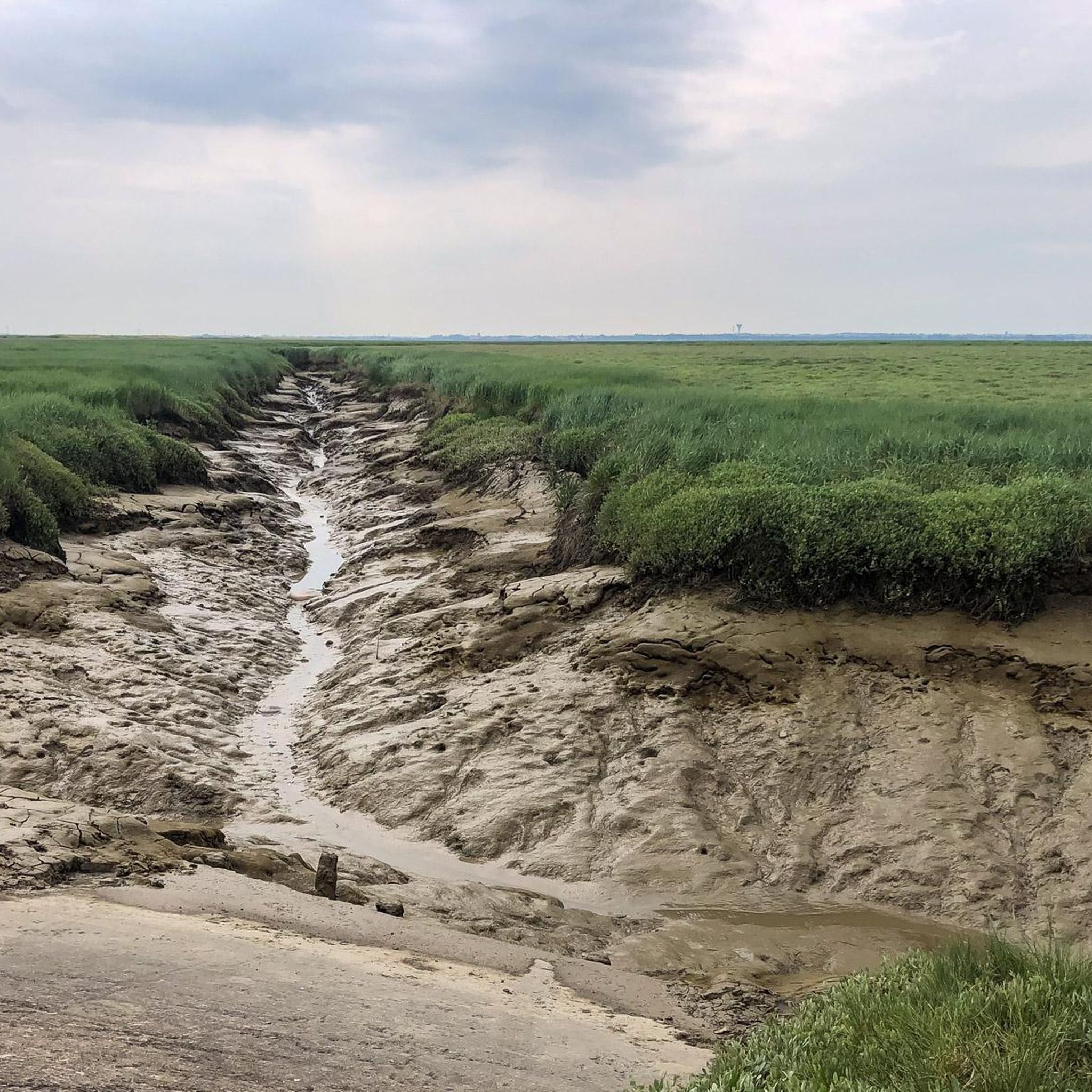
Cycling around Réserve naturelle de la baie de l'Aiguillon

Gravel biking around Réserve naturelle de la baie de l'Aiguillon
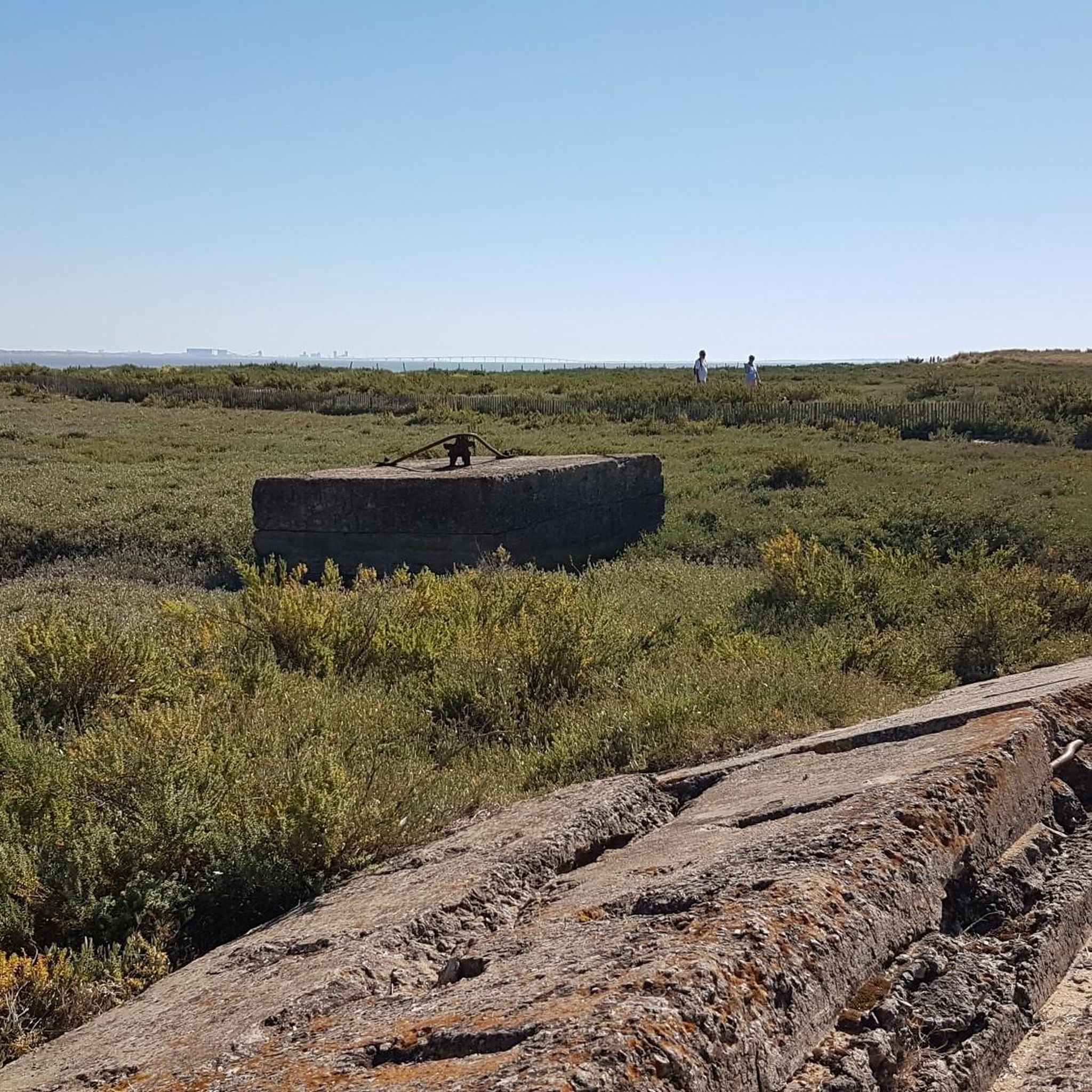
MTB Trails around Réserve naturelle de la baie de l'Aiguillon
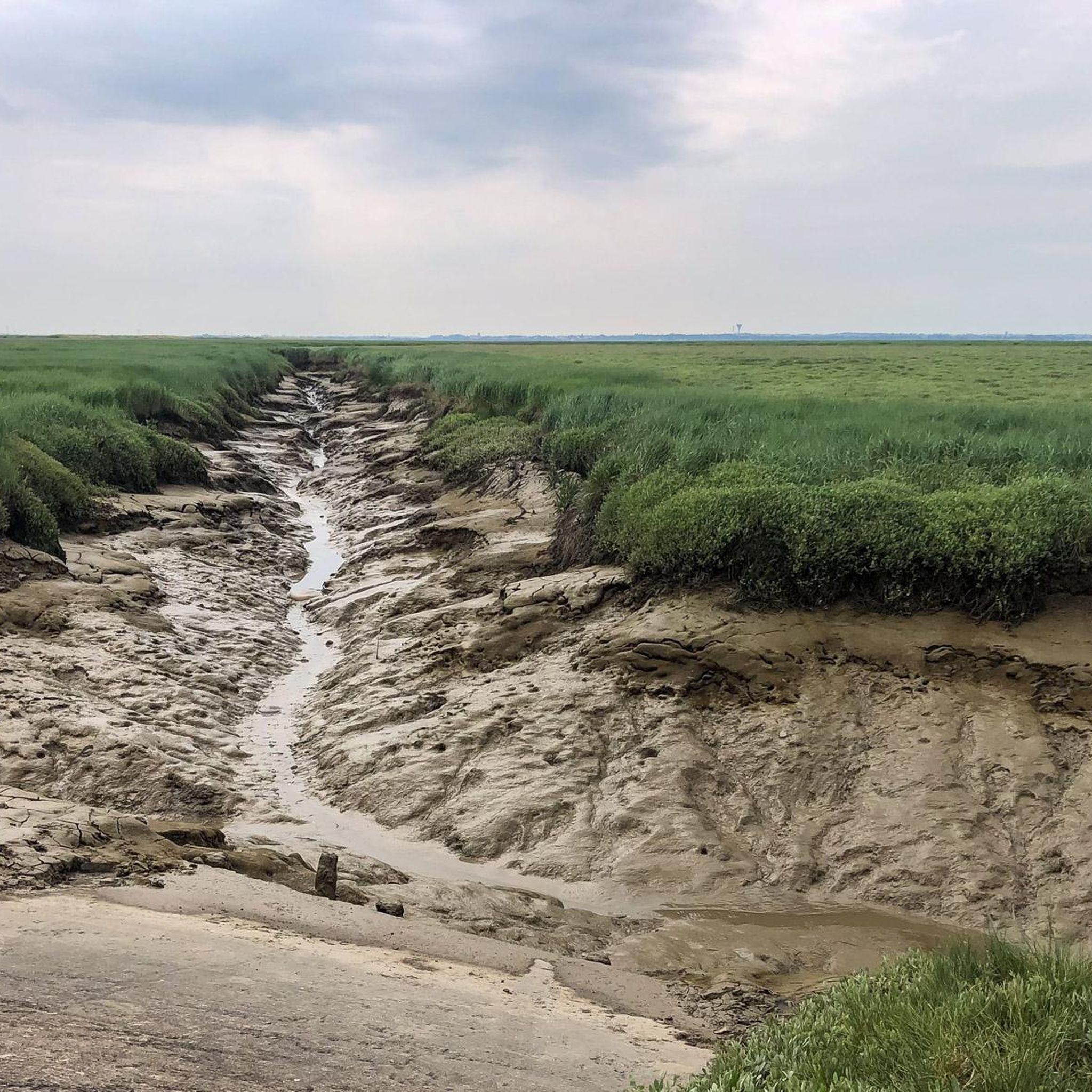
Hiking around Réserve naturelle de la baie de l'Aiguillon
Tips from the Community


The bridge to Île de Ré seen from the island.
0
0
Inaugurated in 1988, 2.5 km long. Free of charge.
0
0

We pass under the Dive, an island perched above a sea of cereals... https://www.vendeedusud.com/visites/lile-de-la-dive/
0
0

The promenade walk is next to the coast wall, between the wall and the cycleway, they are seperate.
1
0

Very beautiful walk between the fleet and St Martin de Ré. 3 kilometers along the sea
0
0

This ancient island in the Gulf of Pictons now overlooks the cereal fields from around fifteen meters. It offers a lovely view of Aiguillon Bay, La Rochelle and the Île de Ré bridge.
1
0
Frequently Asked Questions
What is the general terrain like for road cycling in the Réserve naturelle de la baie de l'Aiguillon?
The region is predominantly flat, characterized by expansive mudflats and salt meadows. This makes for an easy and enjoyable cycling experience, suitable for various skill levels. Many paths are paved, ensuring a smooth ride.
Are there road cycling routes suitable for beginners or families?
Yes, the flat terrain of the Réserve naturelle de la baie de l'Aiguillon makes it highly accessible for beginners and families. There are over 25 easy routes available, offering a relaxed way to explore the unique landscapes.
What kind of wildlife can I expect to see while road cycling in the bay?
The Baie de l'Aiguillon is internationally recognized for its exceptional diversity of migratory and wintering birds, including numerous waders and waterfowl like avocets and greylag geese. You might also spot specialized halophile plants such as sea purslane and glasswort in the salt meadows.
Are there any scenic viewpoints along the road cycling routes?
Yes, the region offers several scenic viewpoints. The Pointe Saint-Clément provides excellent views of the bay. Additionally, the La Dive – Porte des Portes loop from Le Rocher offers views of the bay and its unique polders.
What do other road cyclists enjoy most about the routes in Réserve naturelle de la baie de l'Aiguillon?
The routes in Réserve naturelle de la baie de l'Aiguillon are highly rated by the komoot community, with an average score of 4.2 stars from over 200 reviews. Cyclists often praise the quiet, flat paths, the unique marshland scenery, and the abundance of birdlife.
Are there any circular road cycling routes available?
Yes, many routes in the area are circular. For example, the Port of Marans – Esnandes loop from Charron offers a moderate 89 km ride through diverse landscapes.
What are some interesting places to see or landmarks near the cycling paths?
Beyond the natural beauty, you can explore the Discovery trail between Esnandes and Pointe Saint-Clément, or see traditional fishing huts like the Carrelet d'Esnandes. The Coastal Path of the Falaise du Pertuis Breton also offers unique views.
How extensive is the network of cycling paths in the region?
The Vendée department, which includes part of the reserve, boasts over 1,000 km of cycling paths. The broader Marais Poitevin Regional Natural Park, connected to the reserve, offers 850 km of marked and secure routes, many of which are paved and ideal for road cycling.
Is there parking available for road cyclists in the Réserve naturelle de la baie de l'Aiguillon?
While specific parking areas are not detailed for every route, many villages and towns that serve as starting points for these routes, such as Le Rocher, Charron, and Esnandes, offer public parking facilities suitable for accessing the cycling network.
What is the best time of year for road cycling in the Réserve naturelle de la baie de l'Aiguillon?
The flat terrain makes road cycling enjoyable for much of the year. Spring and autumn offer pleasant temperatures and excellent opportunities for birdwatching. Summer is also popular, though it can be warmer, while winter can be suitable for cycling if conditions are not too cold or wet.
Are there any longer, more challenging road cycling routes for experienced riders?
Yes, while the terrain is generally flat, there are longer routes that offer a good challenge. For instance, the Esnandes – Château de Courçon loop from Charron is a moderate 97 km path that traverses expansive marshlands and agricultural landscapes.
Can I find information about local amenities like cafes or restaurants along the routes?
Many road cycling routes pass through or near coastal villages and towns. These locations typically offer cafes, restaurants, and other amenities where you can stop for refreshments or a meal. Planning your route with komoot allows you to identify such points of interest.
Most popular routes around Réserve naturelle de la baie de l'Aiguillon
Most popular attractions around Réserve naturelle de la baie de l'Aiguillon

Get inspired with the komoot mobile app


Explore more
Browse the best Road cycling routes in other regions.
