The best cycling routes around Y Berwyn National Nature Reserve
4.8
(48)
782
riders
75
rides
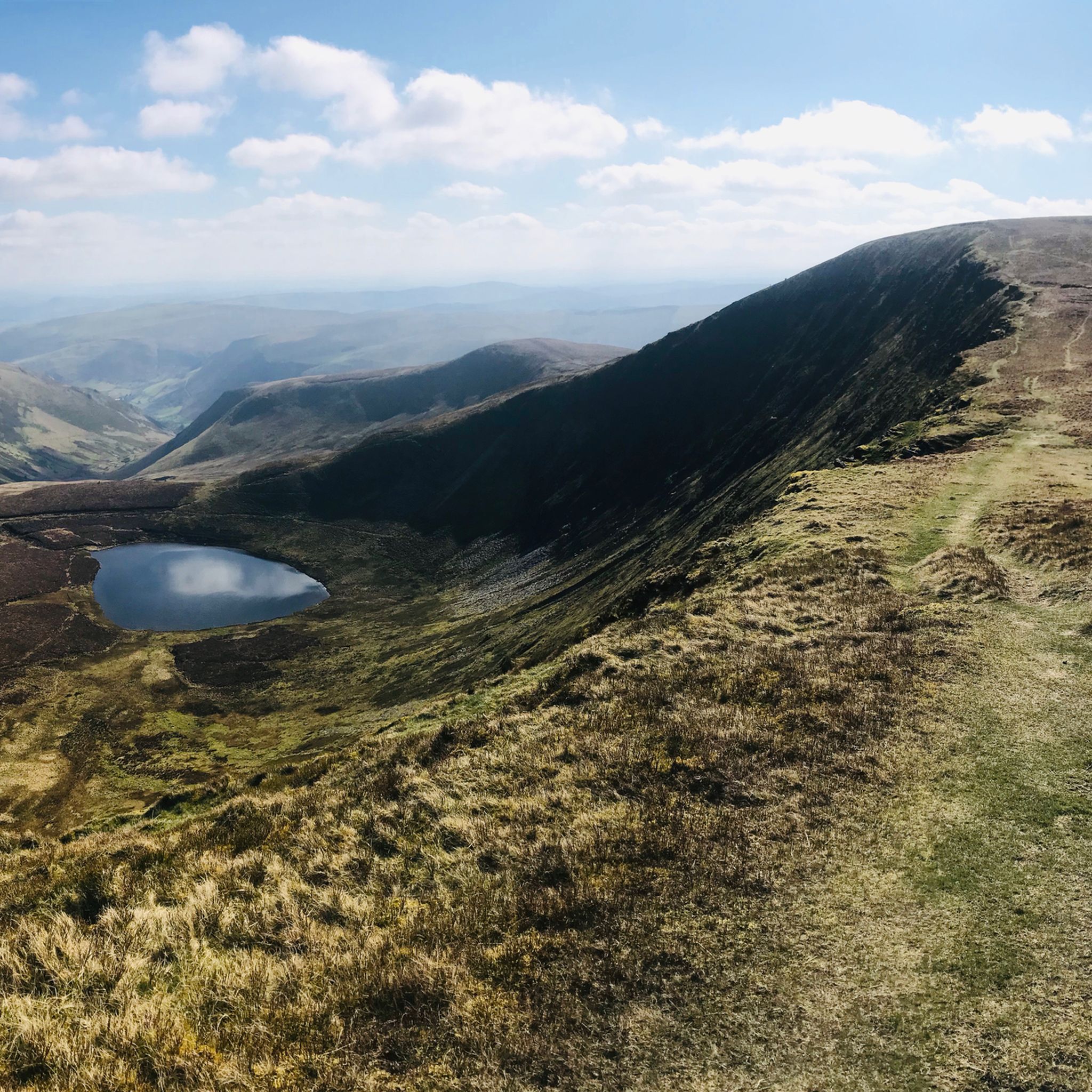
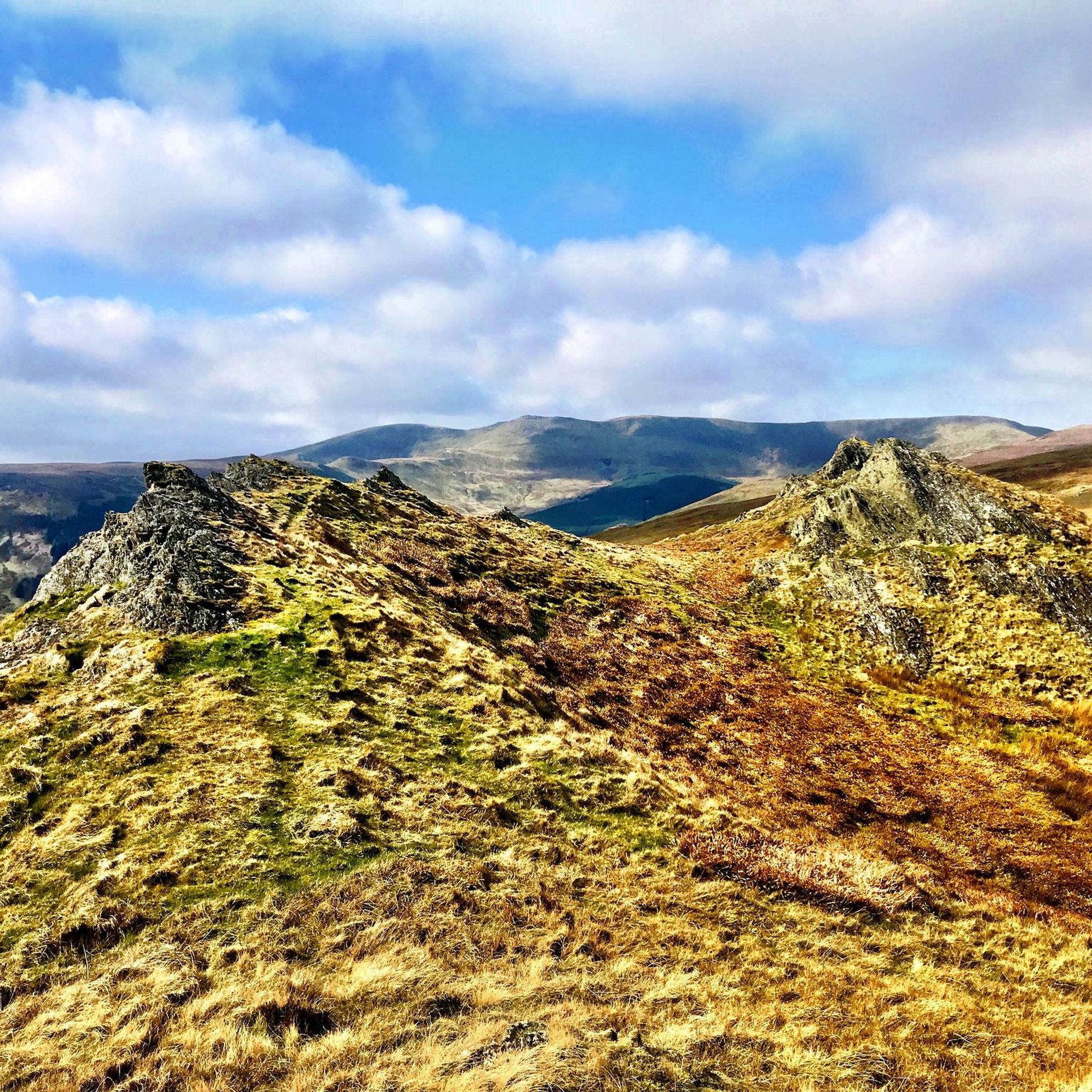
Touring cycling routes around Y Berwyn National Nature Reserve traverse expansive upland moorland, characterized by remote, exposed, and windswept landscapes. The region features rolling heather moorland cut by steep-sided valleys and dramatic landforms. Key habitats include woodland, dry heath, and grassland, offering diverse terrain for cyclists. This area provides less crowded cycling opportunities compared to other Welsh regions, with numerous quiet roads.
Best touring cycling routes around Y Berwyn National Nature Reserve
- The most popular touring cycling route is Hirnant…
Last updated: September 30, 2026
5
riders
34.1km
03:26
1,030m
1,030m
Hard bike ride. Very good fitness required. Mostly paved surfaces. Suitable for all skill levels.
3
riders
17.4km
01:29
390m
390m
Moderate bike ride. Good fitness required. Mostly paved surfaces. Suitable for all skill levels.

8
riders
21.9km
01:21
210m
210m
Moderate bike ride. Good fitness required. Mostly paved surfaces. Suitable for all skill levels.
5.0
(1)
12
riders
17.5km
01:05
140m
140m
Easy bike ride. Great for any fitness level. Mostly paved surfaces. Suitable for all skill levels.
8
riders
15.7km
01:35
530m
530m
Hard bike ride. Very good fitness required. Mostly paved surfaces. Suitable for all skill levels.
Get access to more routes and recommendations from other explorers.
Already have an account?
Our route recommendations are based on thousands of hikes, rides, and runs completed by other people on komoot.
Start today with a free account
Your next adventure awaits.
Popular around Y Berwyn National Nature Reserve

Tips from the Community


Perfect gravel riding on the descent 😊 - after, let's face it, the long grind up to the memorial!
0
0
The track from the East is broken but doable on a gravel bike - I had to push the last few hundred metres. Awkward terrain - large stones - and plenty of puddles - but a fabulous day on 2 wheels!
0
0

After crossing the River Dee, this stretch of quiet road, beyond the initial stepping climb, was a lovely gentle ride through lush green countryside with views towards some distant mountains to the right and then circling around to behold the first sighting of Llyn Tegid. Beaut.
0
0

Bala Lake is a large freshwater glacial lake in Gwynedd, Wales. The River Dee, which has its source on the slopes of Dduallt in the mountains of Snowdonia, feeds the 3.7 miles long by 0.5 miles wide lake. It has water sports centre and some wonderful little cafés The cycle path it wonderful smooth.
5
0
Track down into the forest The track from Corwen to Cynwyd via Liberty Hall descends into the southern part of Coed Cynwyd. Quite bumpy with gravel, grass sections and rocks
0
0
Newly fenced off area of Cynwyd Forest An area of trees have been recently fenced off with a deer/rabbit proof fence, this is an unusual time to commit to fencing as the trees are mature. Visiting the site in 2012 I discovered that the fencing is to provide tree cover for recently hatched game birds (Pheasants). Releasing them into fenced off trees makes them less vulnerable to ground and airborne predators.
0
0

The Wayfarer Memorial Traverse is a very rough but wide track that can be best described as a good gravel ride for the most part. It is best ridden on a mountain bike if you want some comfort, otherwise a gravel bike or other tough touring bike will manage it if you have appropriate wide 40mm+ tyres. Either way be prepared for a bit of walking on some of the tougher stages but don't let this detract from the fact that overall this is a classic route totally rideable for the best part and with great views that is well worth the effort. Best done in good weather. If in doubt have a read of the following article: https://gravelshack.life/north-wales-the-wayfarer/
0
0
Frequently Asked Questions
How many touring cycling routes are available in Y Berwyn National Nature Reserve?
There are nearly 90 touring cycling routes available in Y Berwyn National Nature Reserve, offering a wide range of experiences across its expansive and wild landscapes. The komoot community has explored these routes over 800 times, with an average rating of 4.8 stars.
What is the overall difficulty level for touring cycling in Y Berwyn National Nature Reserve?
Y Berwyn National Nature Reserve offers a diverse range of touring cycling routes. While there are 9 easy routes and 25 moderate options, the majority, 53 routes, are classified as difficult. This reflects the region's rugged beauty, with significant elevation gains and mountainous terrain, particularly on routes like the Hirnant Pass – Bwlch y Groes Pass loop from Llandrillo.
Are there any notable natural attractions or landmarks to see while touring cycling in Y Berwyn National Nature Reserve?
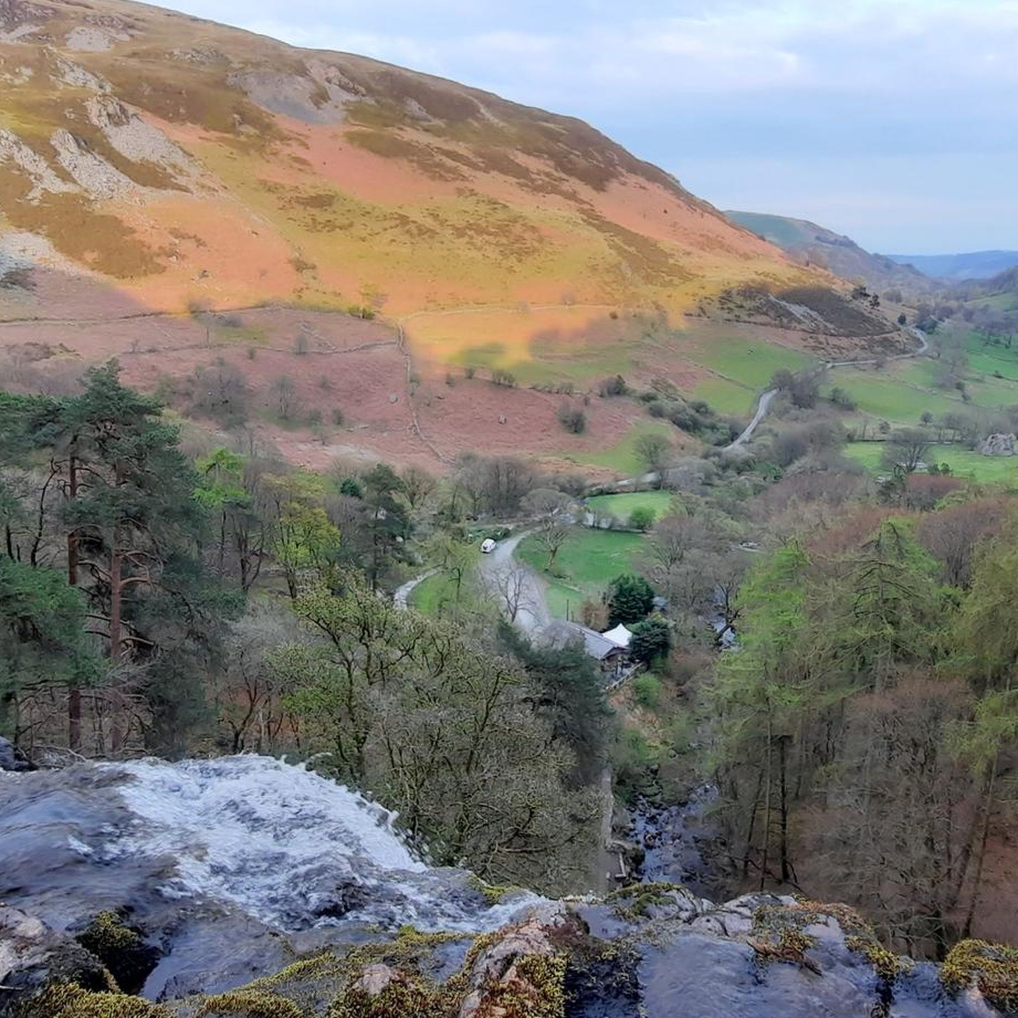
Yes, the region is rich in natural attractions. A significant highlight is Pistyll Rhaeadr, Britain's highest single-drop waterfall, which is a spectacular sight and a popular access point. You can also find prominent peaks like Cadair Berwyn Summit and Moel Sych Summit Cairn, offering extensive views across the uplands.
Are there touring cycling routes suitable for families or beginners in Y Berwyn National Nature Reserve?
While many routes are challenging, there are 9 easy touring cycling routes available, which can be suitable for families or beginners. These routes often feature less demanding terrain and shorter distances. For example, the Llyn Tegid (Lake Bala) – Bala Lake loop from Llandderfel offers a relatively flat ride around the lake.
What is the best time of year to go touring cycling in Y Berwyn National Nature Reserve?
The best time for touring cycling in Y Berwyn National Nature Reserve is generally during the warmer, drier months, typically from late spring to early autumn. This period offers more predictable weather conditions, making the remote and exposed moorland more enjoyable. Always check local weather forecasts before heading out, as conditions can change rapidly in upland areas.
Are there any circular touring cycling routes in the area?
Yes, many touring cycling routes in Y Berwyn National Nature Reserve are circular, allowing you to start and finish at the same point. Examples include the challenging Hirnant Pass – Bwlch y Groes Pass loop from Llandrillo and the moderate Caer y Bont loop from Palé Hall Hotel Restaurant, which provides a scenic ride through varied landscapes.
What kind of wildlife can I expect to see while cycling in Y Berwyn National Nature Reserve?
Y Berwyn National Nature Reserve is a haven for wildlife, especially upland birds. You might spot raptors such as Hen Harrier, Merlin, Peregrine Falcon, and Red Kite. Other species include Red Grouse, Curlew, and Golden Plover. The blanket bogs are home to rare plants like Bog Rosemary. Keep an eye out for polecats and otters, particularly near water bodies like Lake Vyrnwy.
Are there opportunities for long-distance touring cycling in Y Berwyn National Nature Reserve?
Yes, the reserve offers opportunities for long-distance touring cycling, characterized by its 'endless miles of empty roads'. The Hirnant Pass – Bwlch y Groes Pass loop from Llandrillo, for instance, is a substantial 95.7-mile route with significant elevation gain, catering to cyclists with very good fitness levels looking for an extended challenge.
What are the terrain characteristics for touring cycling in Y Berwyn National Nature Reserve?
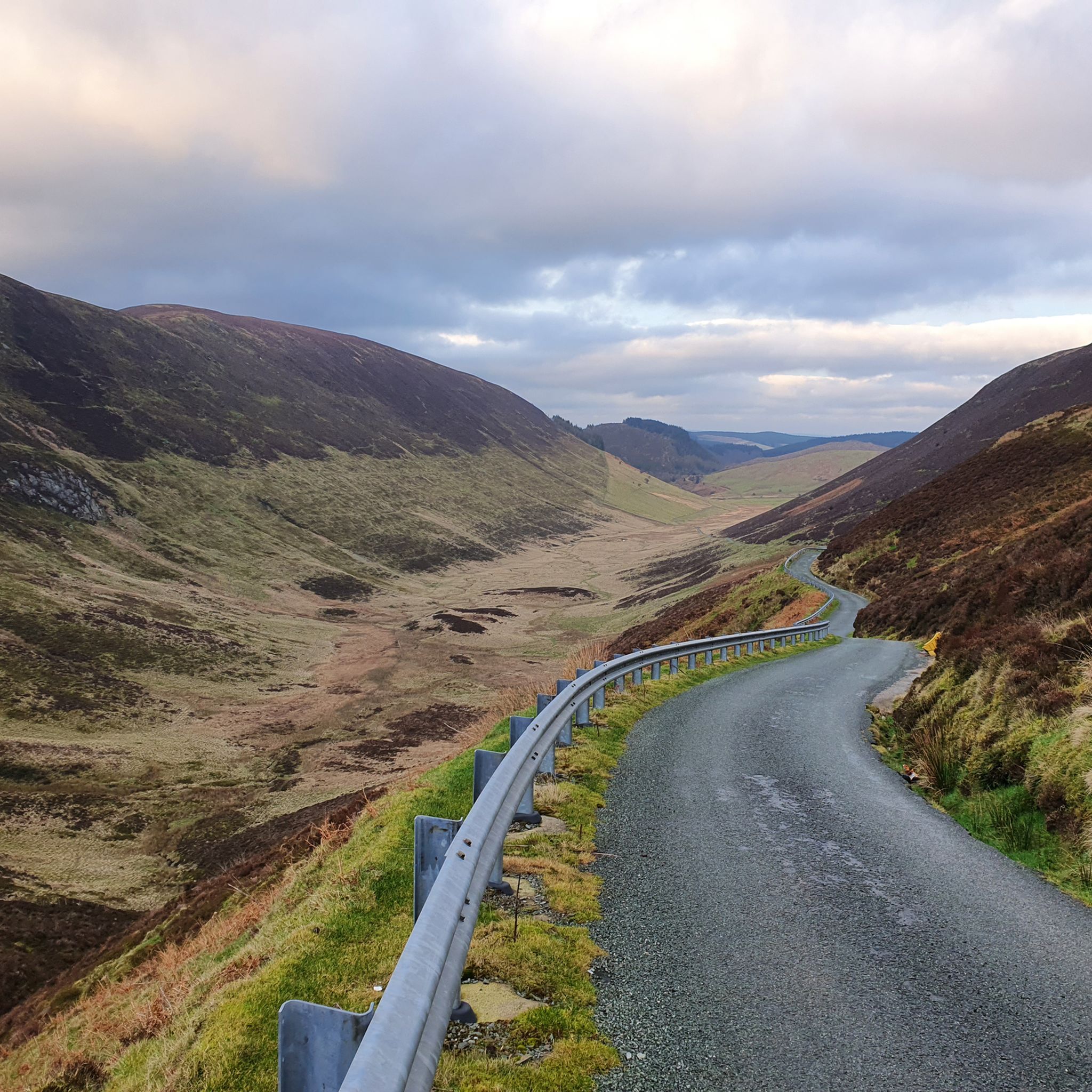
The terrain for touring cycling in Y Berwyn National Nature Reserve is diverse, ranging from quiet roads to more rugged paths. You'll encounter expansive upland moorland, rolling heather moorland cut by steep-sided valleys, and dramatic landforms. Some routes also utilize forest roads within woodlands, which may have variable gradients and uneven surfaces. The roads to the south of the Berwyns are notably less busy.
Where can I find parking for touring cycling routes in Y Berwyn National Nature Reserve?
While specific parking areas for each route are not detailed here, popular access points like Pistyll Rhaeadr often have dedicated parking facilities. For routes starting in villages such as Llandrillo, public parking options may be available. It's advisable to check local information for specific starting points of your chosen route.
Are there any cafes or places to stop for refreshments along the touring cycling routes?
Yes, there are places to stop for refreshments. Pistyll Rhaeadr, a significant attraction, has a café. Additionally, the area around Lake Vyrnwy RSPB/Severn Trent Water Nature Reserve offers amenities. Villages near the routes, such as Llandrillo, may also have local pubs or cafes where you can refuel.
Can I access touring cycling routes in Y Berwyn National Nature Reserve using public transport?
Access to Y Berwyn National Nature Reserve by public transport can be limited due to its remote nature. While some larger towns nearby might have bus or train services, reaching specific trailheads within the reserve often requires personal transport. It's recommended to research local bus services to the nearest villages if you plan to rely on public transport.
Most popular routes around Y Berwyn National Nature Reserve
Most popular attractions around Y Berwyn National Nature Reserve

Get inspired with the komoot mobile app


Explore more
Browse the best Cycling routes in other regions.
