The best walks and hikes around Ariza
4.7
(3)
14
hikers
7
hikes
Hiking around Ariza offers diverse landscapes within the Zaragoza province of Aragon, Spain. The local terrain features unique gypsum-rich lands, known as "blanquizales," which create arid environments, contrasting with areas of reddish clay soils. The Jalón river traverses the region, providing refreshing poplar groves along its banks. Hikers can also observe historical landmarks such as the Monreal de Ariza Castle.
Best hiking trails around Ariza
- The most popular hiking route is Castillo de Ariza loop from Ariza, a 6.3…
Last updated: July 15, 2026
6.46km
01:51
150m
150m
Easy hike. Great for any fitness level. Easily-accessible paths. Suitable for all skill levels.
5.0
(1)
1
hikers
4.60km
01:14
60m
60m
Easy hike. Great for any fitness level. Easily-accessible paths. Suitable for all skill levels.

Sign up for free
Moderate hike. Good fitness required. Easily-accessible paths. Suitable for all skill levels.
9.23km
02:32
150m
150m
Hike the moderate 5.7-mile Fuente de Almazorre loop from Deza, exploring the Camino de Serón de Nágima and natural monuments.
7
hikers
10.1km
02:42
110m
110m
Moderate hike. Good fitness required. Easily-accessible paths. Suitable for all skill levels.
Get access to more routes and recommendations from other explorers.
Sign up for free
Already have an account?
Our route recommendations are based on thousands of hikes, rides, and runs completed by other people on komoot.
Start today with a free account
Your next adventure awaits.
Login or Signup

Tips from the Community

The original building has left few remains, but you can still see two polygonal towers at the ends, joined by sections of wall. The castle was built of masonry with ashlars in the corners and stands on a high hill that dominates the town of Montuenga de Soria. If you have the opportunity, I recommend visiting this historic place. I hope you enjoy exploring the history and beauty of Montuenga Castle! 😊
6
0

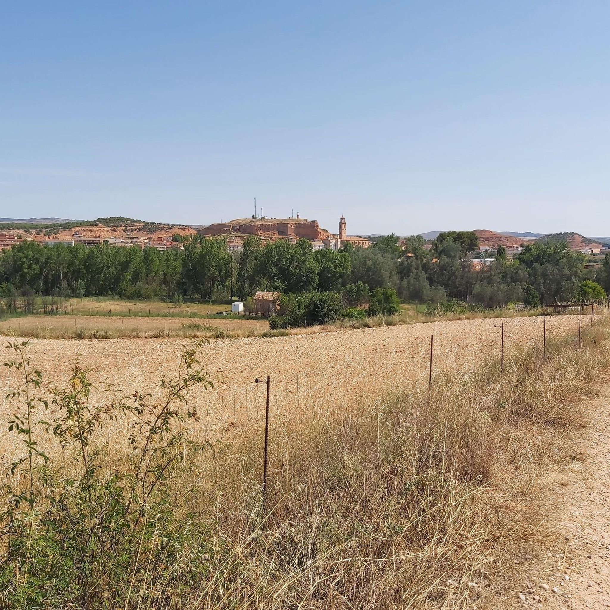
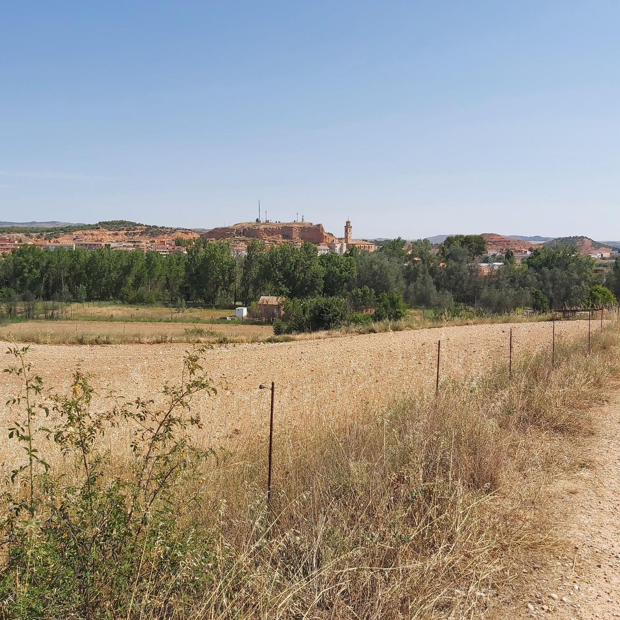
An incredibly inspiring gravel path surrounded by cereal fields in the fertile lands of the Jalon river basin. This section between Santa María de Huerta and Montuenga de Soria is part of the famous Camino del Cid.
0
0
Leaving the valley of the river Jalón and the town of Santa María de Huerta behind and entering the hills that surround the town, it feels as if time has stopped. The 'moon' scenery is beautiful, especially at sunrise and sunset.
1
1
Impressive building that houses a monastery and church of the Benedictine order in the town of Santa María de Huerta next to the Jalón river.
1
1
A ruined medieval castle on the historic trade route along the Jalon river. Weathered and shaped by time, the structure sits atop a defensive hill, overlooking the city below.
2
0

The Monastery and the population in general, is located in the Soriana region of Terra de Medinaceli, in the south-west of the province, on the border with the province of Zaragoza. Beautiful to see from outside and inside.
0
0

From the path, located at an altitude of about 924 meters, we have great views of the Corral del Tío Polo, currently in a dilapidated state.
1
1
Near the town of Cihuela, we find this Navajo, it is a piece of land, where the rainwater is collected.
1
0
Frequently Asked Questions
How many hiking trails are available around Ariza?
There are 6 hiking trails around Ariza, offering a variety of experiences. These routes are generally rated as easy to moderate, making them accessible for different skill levels.
What types of landscapes can I expect to see while hiking near Ariza?
Hiking near Ariza offers a diverse range of landscapes. You'll encounter unique "blanquizales" (gypsum-rich lands) creating arid environments, contrasting with areas of reddish clay soils. The Jalón river also traverses the region, providing refreshing poplar groves along its banks. Historical landmarks like the Monreal de Ariza Castle are also visible along some routes.
Are there any circular hiking routes in the Ariza area?
Yes, there are several circular routes available. For example, the Alto Navarro – circular desde Cihuela is an easy 4.0-mile (6.5 km) trail, and the Santa María de Huerta — circular is another easy option at 2.9 miles (4.7 km).
What are some notable landmarks or attractions to see while hiking near Ariza?
Hikers can enjoy views of historic sites such as the Monreal de Ariza Castle. Other nearby attractions include the Monasterio de Santa María de Huerta and the Thermal Lake of Alhama de Aragón. The region is also known for its unique "blanquizales" landscapes.
Are there any family-friendly hiking options around Ariza?
Yes, several routes are suitable for families. The trails around Ariza are generally rated as easy to moderate, with options like the Alto Navarro – circular desde Cihuela being an easy 4.0-mile (6.5 km) path, which can be a good choice for a family outing.
What is the best time of year to go hiking in Ariza?
The Ariza region, with its arid gypsum plains and reddish clay hills, is generally best explored during spring and autumn when temperatures are milder. Summer can be very hot, while winter might offer cooler, crisp conditions, though specific winter hiking information is limited.
Are there any dog-friendly trails in Ariza?
While specific regulations for dogs on trails are not detailed, many natural areas in Spain are generally dog-friendly, especially on leash. It's always advisable to keep dogs under control and carry water for them, particularly in arid environments. The varied terrain and open spaces around Ariza could be enjoyable for dogs.
What do other hikers say about the trails in Ariza?
The trails in Ariza are highly rated by the komoot community, with an average score of 4.7 stars. Hikers often appreciate the diverse terrain, from arid landscapes to riverine poplar groves, and the opportunity to see historical landmarks.
Are there any longer day hikes available near Ariza?
For a longer day hike, consider the Santa María de Huerta to Montuenga de Soria — round trip on Camino del Cid and the Jalón river. This moderate route covers 9.6 miles (15.4 km) and takes approximately 4 hours to complete, following historical paths.
What are the unique geological features I might encounter on a hike in Ariza?
Ariza is known for its distinctive "blanquizales," which are gypsum-rich lands creating unique arid landscapes. You will also find areas of reddish clay soils, offering a striking contrast to the lush poplar groves along the Jalón river.
Is public transport available to reach hiking trailheads in Ariza?
Information on specific public transport links directly to trailheads is not readily available. It is generally recommended to have private transportation to access many of the hiking routes and explore the wider region around Ariza effectively.
Are there any challenging hikes in the Ariza region?
The hiking routes directly around Ariza are primarily rated as easy to moderate. There are no trails classified as 'difficult' within the immediate area, making it more suitable for casual hikers and those looking for less strenuous walks.
Most popular attractions around Ariza

Get inspired with the komoot mobile app


Explore more
Browse the best Hikes in other regions.
