The best running trails around Otos
4.9
(19)
1,777
runners
121
runs
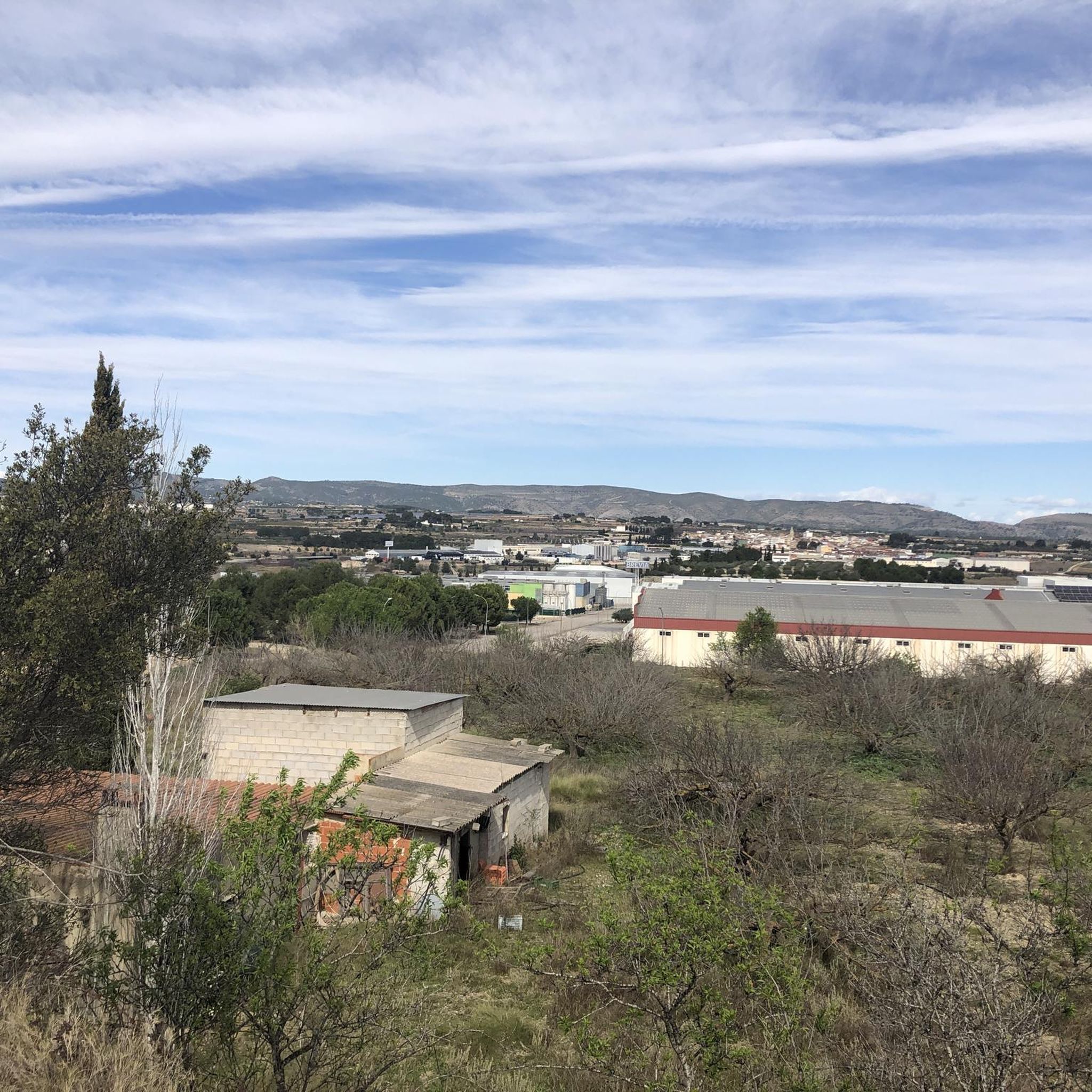
Jogging around Otos offers a variety of routes through a landscape characterized by significant elevation changes and natural features. The region features numerous hills and prominent peaks like Benicadell, providing challenging ascents and rewarding views. Running routes often traverse varied terrain, including forested areas and open paths, catering to those seeking a vigorous workout.
Best jogging routes around Otos
- The most popular jogging route is Running loop from Carrícola, a 10.4 miles (16.8 km) trail that takes 2 hours…
Last updated: May 28, 2026
4.0
(1)
79
runners
16.9km
02:32
750m
750m
Hard run. Very good fitness required. Sure-footedness, sturdy shoes and alpine experience required.
56
runners
15.7km
02:22
570m
570m
Hard run. Very good fitness required. Sure-footedness, sturdy shoes and alpine experience required.

Sign up for free
37
runners
14.6km
02:24
580m
580m
Hard run. Very good fitness required. Sure-footedness, sturdy shoes and alpine experience required.
23
runners
9.84km
01:22
420m
420m
Hard run. Very good fitness required. Sure-footedness, sturdy shoes and alpine experience required.
22
runners
19.8km
02:51
630m
630m
Hard run. Very good fitness required. Sure-footedness, sturdy shoes and alpine experience required.
Get access to more routes and recommendations from other explorers.
Sign up for free
Already have an account?
Our route recommendations are based on thousands of hikes, rides, and runs completed by other people on komoot.
Start today with a free account
Your next adventure awaits.
Login or Signup

Tips from the Community

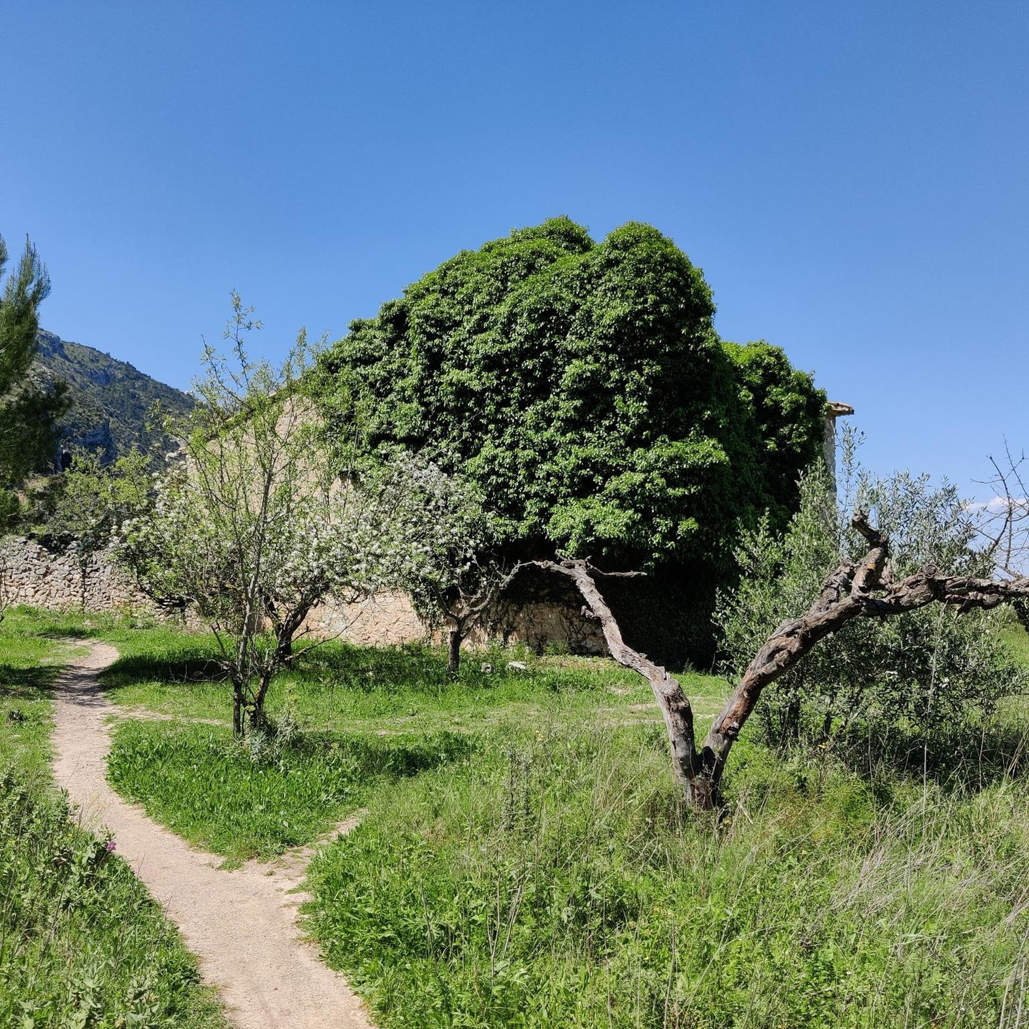
Entertaining gravel track with amazing views! Excellent surface to roll without worries and be able to enjoy the landscape and Benicadell, which are wonderful!
3
0
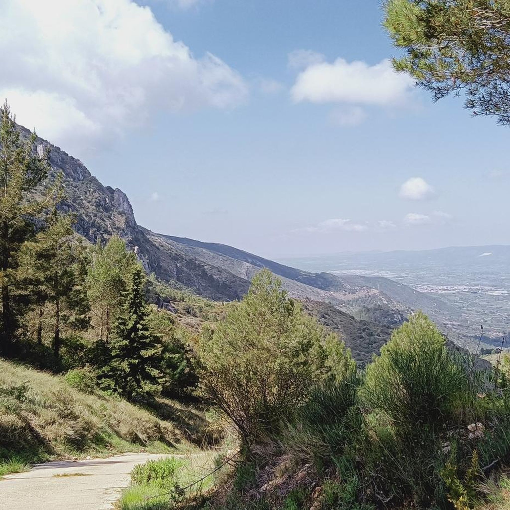
Top of Benicadell with incredible views in all directions. Going up from the Ombría path, it is an ascent with some technical difficulty but it can be reached without problems, especially when descending, with caution. Undoubtedly a point to visit for those who like views from the top!
3
0

Beautiful views from the Alt del Benicadell and the geodesic point.
9
2

Great 360º panorama. A very beautiful climb up the north face, in full shade with lots of greenery. Disadvantage: very popular because there are also accesses from the south side from Beniarrés.
2
1
Frequently Asked Questions
How many running routes are available around Otos?
There are over 130 running routes documented around Otos on komoot, offering a wide variety of options for different fitness levels and preferences.
Are there any easy jogging routes suitable for beginners in Otos?
While the region is known for its challenging terrain, there are 5 easy jogging routes available around Otos. Most routes tend to be moderate to difficult due to the significant elevation changes and hilly landscape. Beginners might look for shorter, less steep sections or consider the easier options to start.
Can I find circular jogging paths in the Otos area?
Yes, many of the running routes around Otos are circular, allowing you to start and finish in the same location. Examples include the Running loop from Carrícola, the Penya de Migdia – el Portet loop from Beniatjar, and the Bassa d'Àlvares loop from Otos.
What natural sights or landmarks can I expect to see while jogging near Otos?
The routes often feature impressive natural monuments and scenic viewpoints. You might encounter the Montcabrer Summit, the intriguing Cova Negra, or enjoy panoramic views from Font Freda (viewpoint). The area also boasts beautiful lakes like the Beniarrés Reservoir and the Bellús Reservoir.
What do other runners enjoy most about jogging in Otos?
The running routes in Otos are highly rated by the komoot community, with an average score of 4.9 stars from over 20 reviews. Runners frequently praise the challenging ascents, varied forest paths, and the rewarding panoramic viewpoints from local hills, especially those offering views of prominent peaks like Benicadell.
Are there any longer running routes for experienced joggers?
Absolutely. For experienced runners seeking a challenge, routes like the Benicadell Summit – Benicadell loop from Beniatjar cover nearly 20 km (12.4 miles) with significant elevation gain, offering a vigorous workout through mountainous terrain.
What is the typical duration for jogging routes in this region?
Due to the varied terrain and elevation changes, durations can vary significantly. For example, the Running loop from Carrícola, which is 16.8 km (10.4 miles), typically takes around 2 hours 32 minutes, while a 9.8 km (6.1 miles) route like the Bassa d'Àlvares loop from Otos can take about 1 hour 22 minutes.
Is Otos a good destination for trail running?
Yes, Otos is an excellent destination for trail running. The region's natural features, including numerous hills and varied forest paths, provide an ideal environment for challenging ascents and technical descents, catering to those who enjoy a more rugged running experience.
Are there any routes that offer views of the Benicadell peak?
Many routes in the area provide stunning views of Benicadell. The Benicadell – Benicadell Summit loop from Port d'Albaida specifically leads through mountainous terrain with direct views and ascents towards the peak, offering a rewarding experience for runners.
What kind of terrain can I expect on the jogging trails around Otos?
You can expect a diverse range of terrain, from varied forest paths to open trails. The landscape is characterized by significant elevation changes, meaning you'll encounter both challenging ascents and descents, often on natural, unpaved surfaces.
Are there any routes that pass by reservoirs or water features?
Yes, some routes offer views of local reservoirs. While not directly on every jogging path, the region is home to the Beniarrés and Bellús Reservoirs, and you can find viewpoints like the Sempere Reservoir Viewpoint that can be incorporated into or accessed near certain running adventures.
Most popular attractions around Otos

Get inspired with the komoot mobile app


Explore more
Browse the best Running Trails & Routes in other regions.
