The best running trails around Zorraquín
4.5
(4)
527
runners
44
runs
Jogging around Zorraquín offers routes through varied terrain, characterized by dense beech forests and mountain peaks. The region's landscape includes significant elevation changes, providing challenging running experiences. Trails often traverse valleys and lead to elevated viewpoints. These running routes showcase the natural environment of Zorraquín.
Best jogging routes around Zorraquín
- The most popular jogging route is Beech Forest of GR 190 – Bonicaparra Shelter loop from Ezcaray, an 8.4 miles (13.5 km) trail that takes 1 hour 49 minutes to complete. This route leads through a notable beech forest.
- Another top favourite among local runners is Route of the 7 Bridges – Peaks of the Demanda loop from Ezcaray, a difficult 29.3 miles (47.2 km) path. This route crosses the challenging Peaks of the Demanda.
- Local runners also love the Plaza del Quiosco de Ezcaray – Alto Micobaña loop from Ezcaray, an 8.0 miles (12.9 km) trail leading towards Alto Micobaña, often completed in about 2 hours 2 minutes.
- Jogging around Zorraquín is defined by beech forests, mountain peaks, and valleys. The network offers options for both moderate and difficult ability levels.
- The routes in Zorraquín are highly rated by the komoot community with an average score of 4.4 stars from 5 reviews. More than 500 runners have used komoot to explore Zorraquín's varied terrain.
Last updated: July 4, 2026
44
runners
13.5km
01:50
530m
530m
Hard run. Very good fitness required. Mostly paved surfaces. Suitable for all skill levels.
37
runners
43.5km
06:29
2,110m
2,110m
Hard run. Very good fitness required. Mostly paved surfaces. Suitable for all skill levels.

Sign up for free
26
runners
12.9km
02:03
750m
750m
Hard run. Very good fitness required. Mostly paved surfaces. Suitable for all skill levels.
21
runners
29.9km
04:32
1,570m
1,570m
Hard run. Very good fitness required. Mostly paved surfaces. Suitable for all skill levels.
12
runners
13.8km
01:51
480m
480m
Hard run. Very good fitness required. Mostly paved surfaces. Suitable for all skill levels.
Get access to more routes and recommendations from other explorers.
Sign up for free
Already have an account?
Our route recommendations are based on thousands of hikes, rides, and runs completed by other people on komoot.
Start today with a free account
Your next adventure awaits.
Login or Signup

Tips from the Community

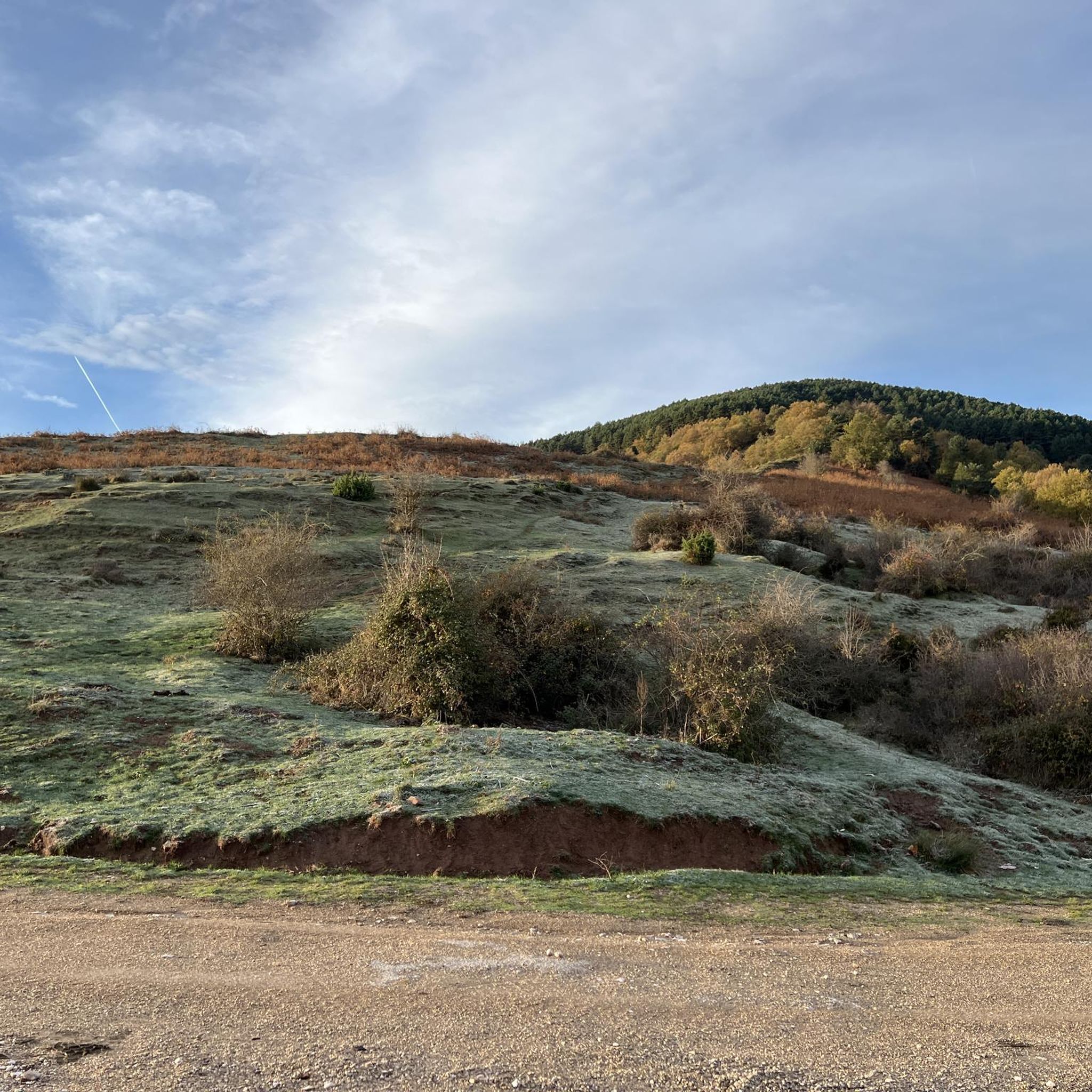
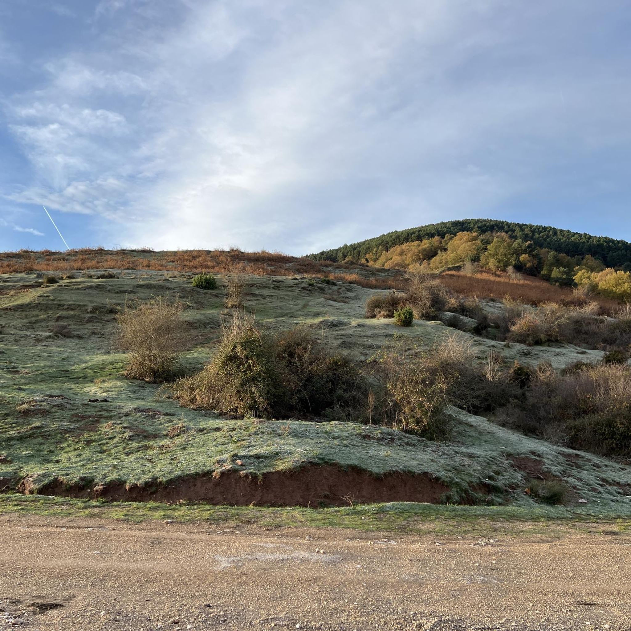
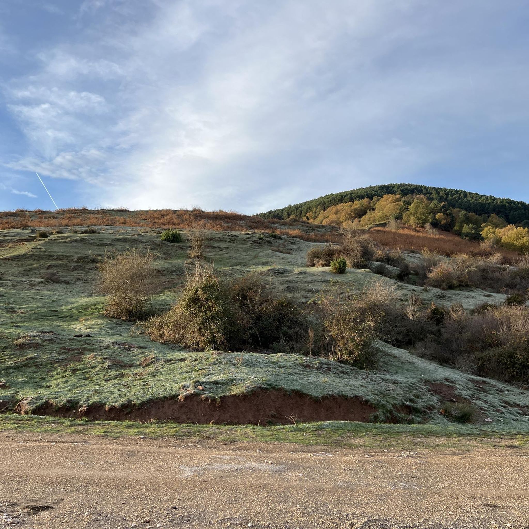
The Cumbres de la Demanda are a series of peaks located in the Sierra de la Demanda, which stretches between La Rioja, Burgos, and Soria. The route covers several of the highest peaks, including Pico San Millán (2,132 meters), the highest in the province of Burgos.
1
0
The Seven Bridges Route in Ezcaray is one of the most beautiful hiking trails in La Rioja. The route follows the course of the stream, crossing it several times on small wooden bridges. A spectacular forest that looks like something out of a fairy tale.
1
0

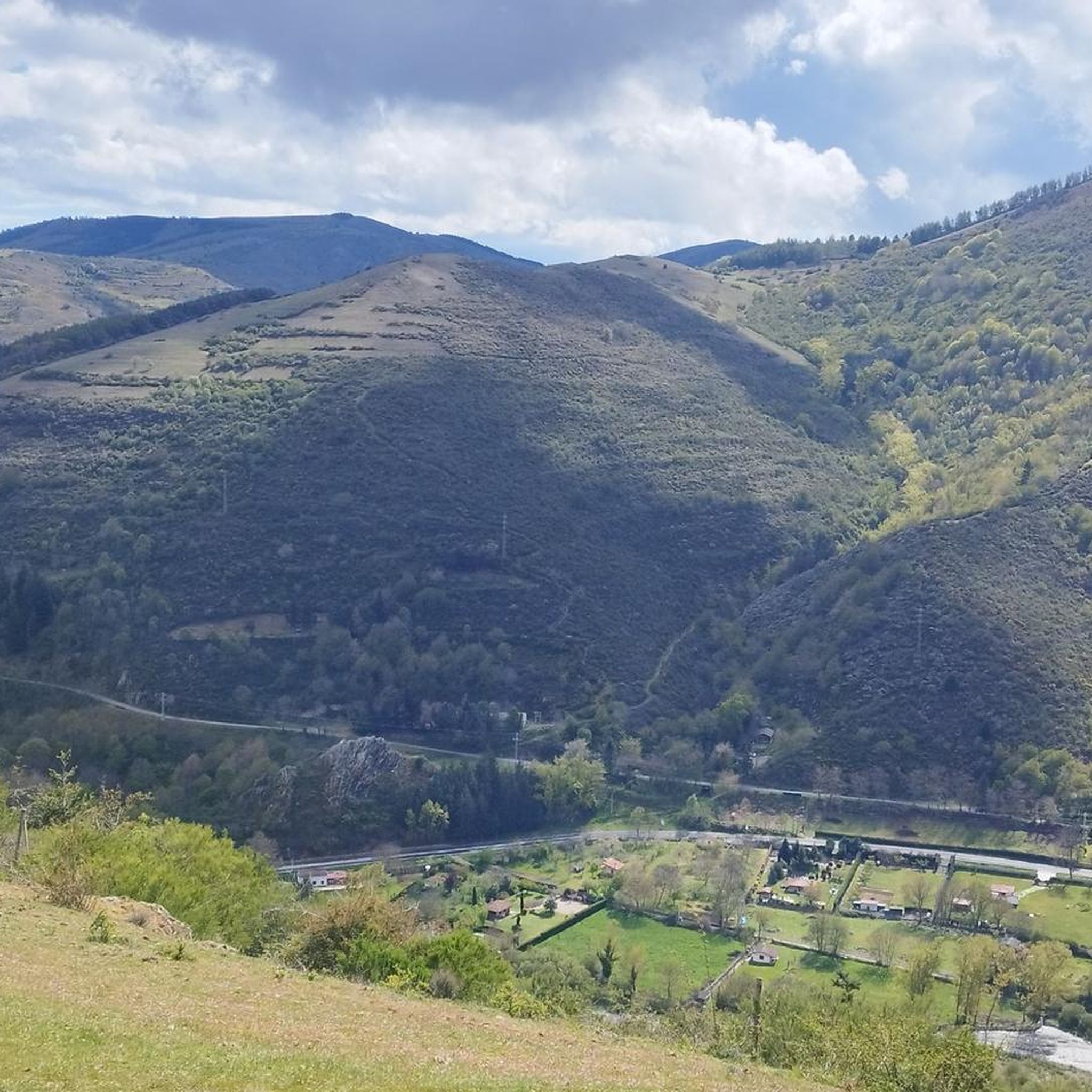
Incredible views of the Sierra de la Demanda mountains and surroundings
0
0

Asphalt forest track to the Bonicaparra refuge. A very nice climb, especially recommended in autumn when the beech forest is bursting with colour.
0
0

Refreshing bath after a hot day
0
0

Ezcaray a great town for strolling / eating out and a beautiful outskirts
0
0

Ezcaray is known as "the first tourist village in La Rioja", so it is not surprising that it goes from having 2,000 inhabitants to more than 15,000 in summer. Many events and parties are organized in the town, so find out well to make your adventure coincide with one of them.
0
0

Fountain and recreational area, with tables and grills.
2
0
Frequently Asked Questions
Are there easy running routes suitable for beginners in Zorraquín?
While Zorraquín is known for its challenging terrain, there are some moderate running options. For instance, the Plaza del Quiosco de Ezcaray – Zaldierna loop from Ezcaray is a moderate 8.5-mile (13.7 km) trail that offers a less strenuous experience compared to the more difficult routes.
What are the typical distances and elevation gains for running trails in Zorraquín?
Running routes in Zorraquín vary significantly. You'll find trails ranging from around 8 miles (13 km) with elevation gains of 500-750 meters, such as the Beech Forest of GR 190 – Bonicaparra Shelter loop from Ezcaray, to much longer and more demanding paths like the Route of the 7 Bridges – Peaks of the Demanda loop from Ezcaray, which is nearly 30 miles (47 km) with over 2700 meters of ascent.
Is parking available near the running routes in Zorraquín?
Many running routes in the Zorraquín area, including those mentioned in this guide, typically start from towns like Ezcaray. While specific parking details are usually found on individual route pages, you can generally expect to find parking facilities within or on the outskirts of these starting points.
Can I reach the running trails in Zorraquín using public transport?
Routes often begin in accessible towns such as Ezcaray. It's advisable to check local public transport schedules and routes for connections to these starting points, as specific public transport information for each trail is not provided in this guide.
Are there any family-friendly running routes in Zorraquín?
The running routes around Zorraquín are generally characterized by significant elevation changes and are often rated as moderate to difficult. While there are no routes specifically listed as 'easy' for families with young children, the moderate Plaza del Quiosco de Ezcaray – Zaldierna loop from Ezcaray might be suitable for families with older, more experienced runners.
Are dogs allowed on the running trails in Zorraquín?
Generally, dogs are welcome on many trails in natural areas like Zorraquín, especially if kept on a leash. However, it's always best to check local regulations or specific route details on komoot for any restrictions, particularly in protected areas or during certain seasons.
What is the best time of year for running in Zorraquín?
Zorraquín's landscape, with its dense beech forests and mountain peaks, offers beautiful running conditions throughout much of the year. Spring and autumn provide pleasant temperatures and vibrant scenery. Summer can be warm, especially at lower elevations, while winter running is possible but may require appropriate gear for snow and ice, particularly at higher altitudes.
What kind of wildlife might I spot while running in Zorraquín?
The region's dense beech forests and mountain environments are home to diverse wildlife. Keep an eye out for various bird species, deer, and other forest inhabitants. Early mornings or late afternoons are often the best times for wildlife spotting.
Are there any circular running routes in Zorraquín?
Yes, many of the running routes in Zorraquín are designed as loops, offering a varied experience without retracing your steps. Examples include the Plaza del Quiosco de Ezcaray – Alto Micobaña loop from Ezcaray and the Beech Forest of GR 190 – San Lorenzo loop from Ezcaray.
What do other runners enjoy most about jogging in Zorraquín?
The running routes in Zorraquín are highly rated by the komoot community, with an average score of 4.4 stars from over 500 runners. Reviewers often praise the challenging terrain, the stunning beech forests, and the rewarding mountain views, particularly from routes that traverse the Peaks of the Demanda.
What can I see along the running routes in Zorraquín?
Many routes offer scenic views and pass by interesting landmarks. You might encounter mountain passes like Alto de Pradilla or Collado de Sagastia. Some trails also lead past the Bonicaparra Shelter or offer glimpses of the Route of the 7 Bridges of Azárrulla.
How many running routes are available in Zorraquín?
There are over 40 running routes available in the Zorraquín area on komoot, offering a wide range of options for different fitness levels and preferences. These include 7 moderate and 35 difficult trails.
Most popular attractions around Zorraquín

Get inspired with the komoot mobile app


Explore more
Browse the best Running Trails & Routes in other regions.
