The best walks and hikes around Albinyana
4.5
(881)
5,610
hikers
305
hikes
Hiking around Albinyana offers a diverse landscape characterized by rolling hills, valleys, and Mediterranean vegetation. The region features a mix of open trails and paths winding through rural areas. Hikers can expect varied terrain, including some elevation changes and scenic viewpoints.
Best hiking trails around Albinyana
- The most popular hiking route is Santa Oliva-El Vendrell-Albinyana Trail, an 8.5 miles (13.7 km) trail that takes 3 hours 56 minutes to complete. This moderate route connects several towns, offering varied scenery. …
Last updated: July 7, 2026
1
hikers
13.7km
03:56
330m
330m
Hike the Santa Oliva-El Vendrell-Albinyana Trail, a moderate 8.5-mile route through olive groves and past historic sites.
4.4
(5)
20
hikers
6.13km
01:50
200m
200m
Easy hike. Great for any fitness level. Easily-accessible paths. Suitable for all skill levels.

Sign up for free
4.6
(5)
12
hikers
6.78km
02:03
200m
200m
Moderate hike. Good fitness required. Easily-accessible paths. Suitable for all skill levels.
4.0
(1)
13
hikers
13.6km
04:04
420m
420m
Moderate hike. Good fitness required. Easily-accessible paths. Suitable for all skill levels.
10
hikers
12.5km
03:37
300m
300m
Moderate hike. Good fitness required. Easily-accessible paths. Suitable for all skill levels.
Get access to more routes and recommendations from other explorers.
Sign up for free
Already have an account?
Our route recommendations are based on thousands of hikes, rides, and runs completed by other people on komoot.
Start today with a free account
Your next adventure awaits.
Login or Signup

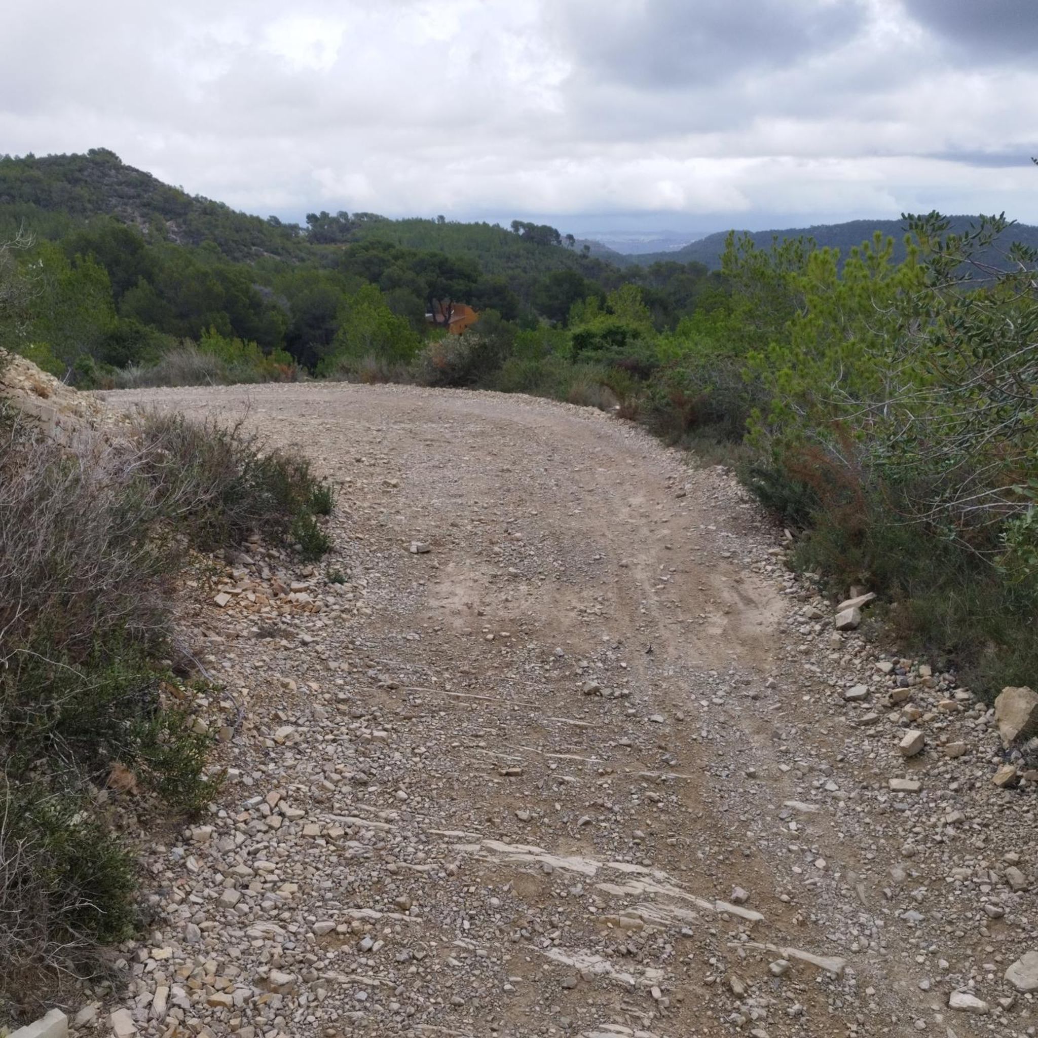
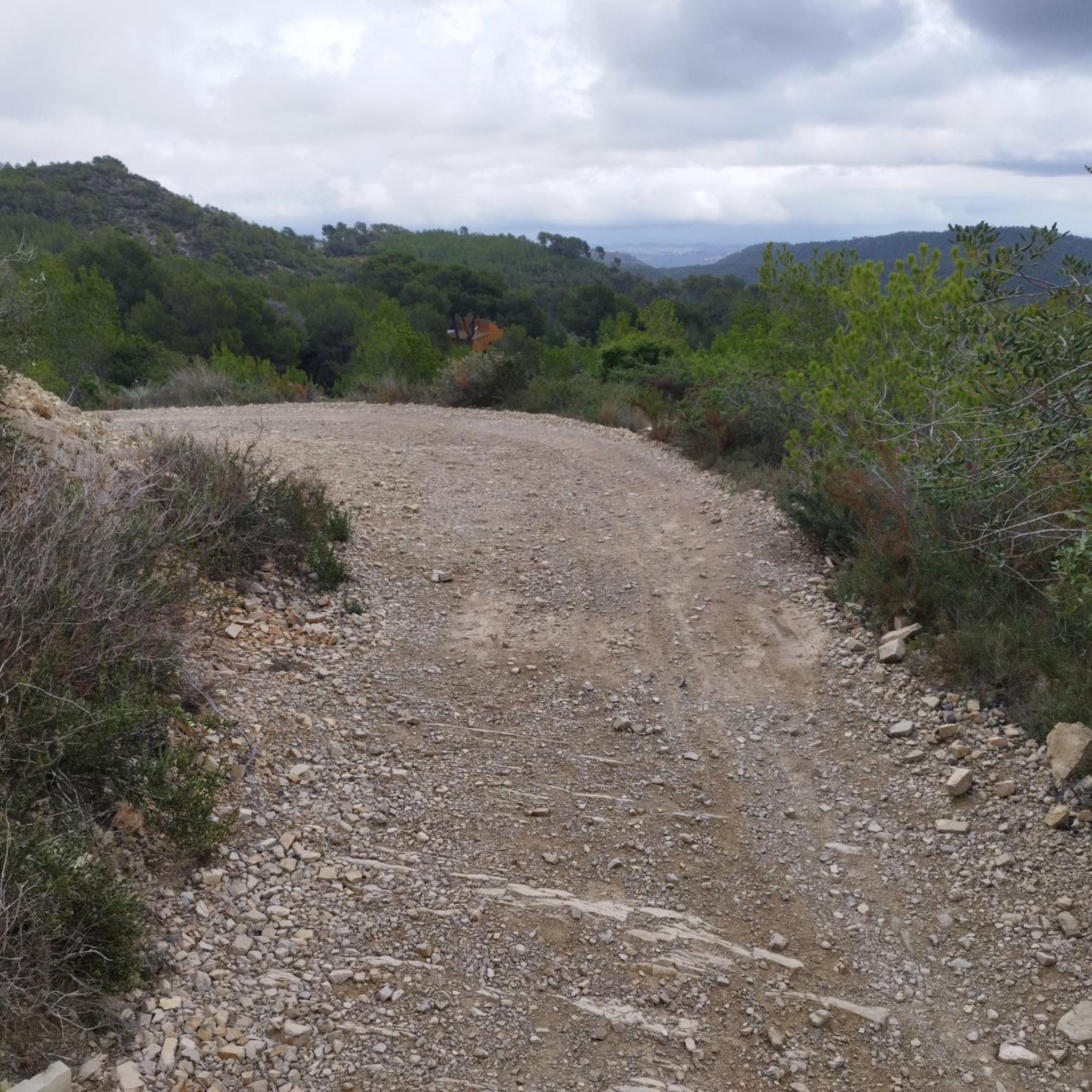

Tips from the Community

There is a section where you get off the bike and there are many thorns.
0
0


There is a small bridge and a very nice sign, but now the sign has been broken and the wooden bridge has fallen over time, it is no longer like in the photos, I do not recommend this part, but the route is very fun, narrow and wooded.
0
0

This is a nice narrow trail that is marked with yellow arrows. It takes you from Les Torretes to Serra Pedregosa and is an alternative to some of the best-known trails in the area.
0
0
This is a large, rocky and sometimes difficult trail. It is narrow and wooded. First it goes along the train tracks to Roca Aguilera. If we continue climbing we will reach Puig Claper. Great views all the way.
2
0
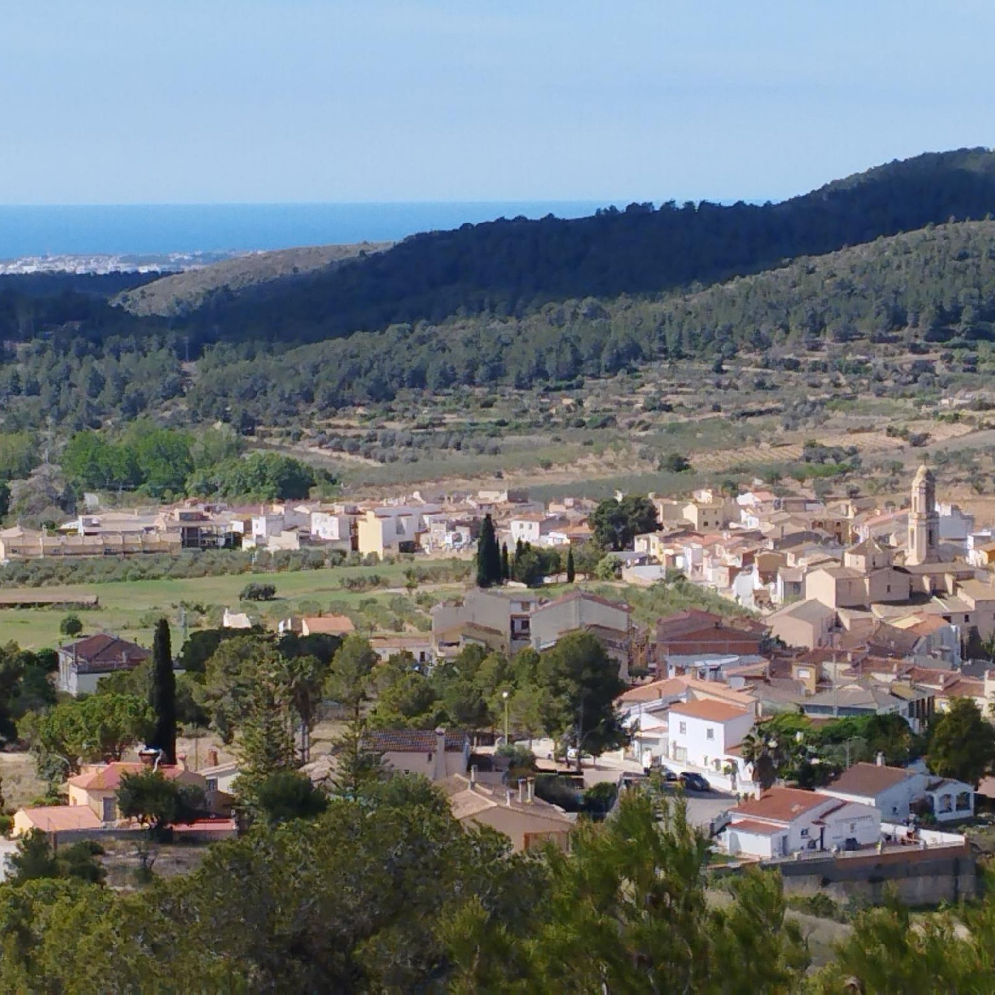
Here you will find a sign marking the peak. The views of the valley and the sea are also very beautiful.
1
0
The origins of this area date back to the 10th century. El Vendrell includes several population centers. Including San Vicente de Calders and Coma-ruga. The beautiful beaches of San Vicente de Calders and Coma-ruga attract many tourists in summer.
0
0
Frequently Asked Questions
How many hiking trails are available around Albinyana?
Albinyana offers a wide selection of hiking opportunities, with over 300 routes recorded on komoot. These trails traverse diverse landscapes, including rolling hills and Mediterranean vegetation, providing options for various preferences and skill levels.
What are the difficulty levels of hiking trails in Albinyana?
The hiking trails in Albinyana cater to a broad range of abilities. You'll find over 110 easy routes, more than 180 moderate trails, and about 14 more challenging options, ensuring there's a suitable path for every hiker.
Are there easy or family-friendly hiking options in Albinyana?
Yes, Albinyana has numerous easy and family-friendly hiking options. For instance, the Fondo de Galet Trail – Lion Peak loop from el Vendrell is an easy 3.8-mile (6.1 km) path that offers scenic views and is suitable for a relaxed outing.
Are there any circular walks in Albinyana?
Yes, many routes in Albinyana are designed as circular walks, allowing you to start and end at the same point. An example is the Cueva de Vallmajor loop from Albinyana, a 4.2-mile (6.8 km) trail that takes you through local terrain.
What kind of viewpoints can I expect on hikes in Albinyana?
Hikes in Albinyana often feature scenic viewpoints overlooking the region's rolling hills and valleys. Notable spots include views from Lion Peak, which is part of several routes, and the higher elevations like La Mola, offering expansive vistas of the Mediterranean landscape.
What is the best time of year for hiking in Albinyana?
The Mediterranean climate of Albinyana makes spring and autumn ideal for hiking, with pleasant temperatures and blooming flora or vibrant fall colors. Winter can also be suitable for hiking, as temperatures are generally mild, though some trails might be less crowded during this season.
What can I see along the hiking trails in Albinyana?
Along the trails in Albinyana, you can explore a mix of natural beauty and historical sites. Highlights include the El Castellot historical site, the natural beauty of the Foix Reservoir, and various peaks such as La Mola and Lion Peak.
Are there any less crowded hiking routes in Albinyana?
While some popular routes can see more foot traffic, Albinyana's extensive network of over 300 trails means you can often find quieter paths. Exploring some of the lesser-known local loops, such as the Dry stone hut – Fondo de Galet Trail loop from el Vendrell, can offer a more secluded experience, especially during off-peak hours or seasons.
What do other hikers enjoy most about hiking in Albinyana?
The hiking experience in Albinyana is highly rated by the komoot community, with an average score of 4.5 stars from over 800 reviews. Hikers frequently praise the varied terrain, the well-maintained paths, and the beautiful Mediterranean scenery that characterizes the region's trails.
Are there advanced hiking trails for experienced hikers in Albinyana?
Yes, for experienced hikers seeking more challenging terrain, Albinyana offers approximately 14 difficult routes. These trails typically feature greater elevation changes and longer distances, providing a more strenuous and rewarding experience. An example of a moderate route with significant elevation is the Cueva de Vallmajor – Lion Peak loop from Albinyana.
Is Albinyana suitable for winter hiking?
Yes, Albinyana is generally suitable for winter hiking. The region experiences mild winters, making it possible to enjoy the trails year-round. While some days might be cooler or wetter, many routes remain accessible and offer a different perspective of the landscape without the summer heat.
Are there opportunities for wildlife spotting on Albinyana hikes?
The diverse Mediterranean vegetation and rural areas around Albinyana provide habitats for various local wildlife. While specific sightings are never guaranteed, hikers might encounter birds, small mammals, and reptiles, especially on quieter trails away from populated areas. The natural reserves nearby, like Els Muntanyans Nature Reserve, can offer better chances for observation.
Most popular routes around Albinyana
Most popular attractions around Albinyana

Get inspired with the komoot mobile app


Explore more
Browse the best Hikes in other regions.
