The best MTB trails around Laguna Del Marquesado
4.0
(5)
55
riders
8
rides
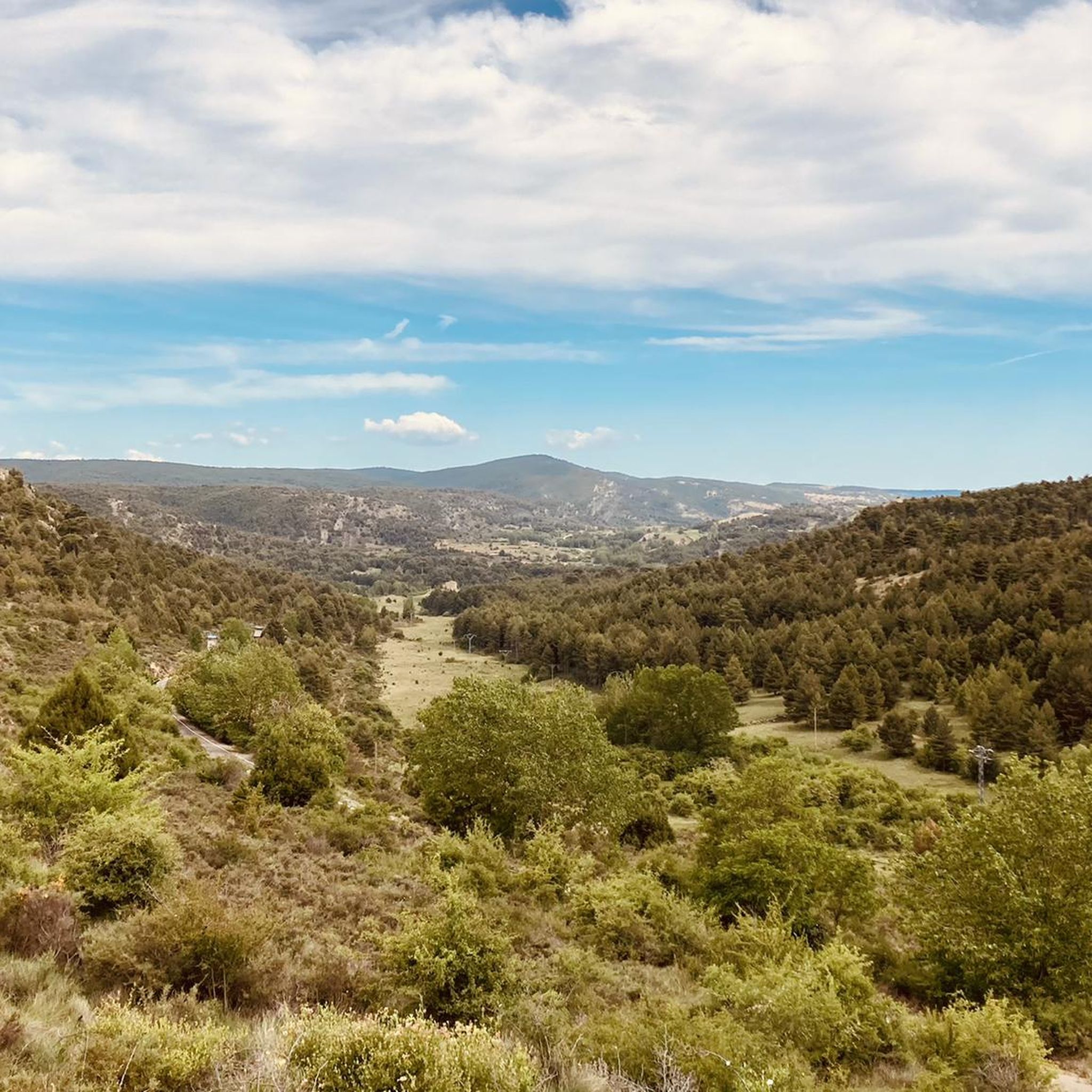
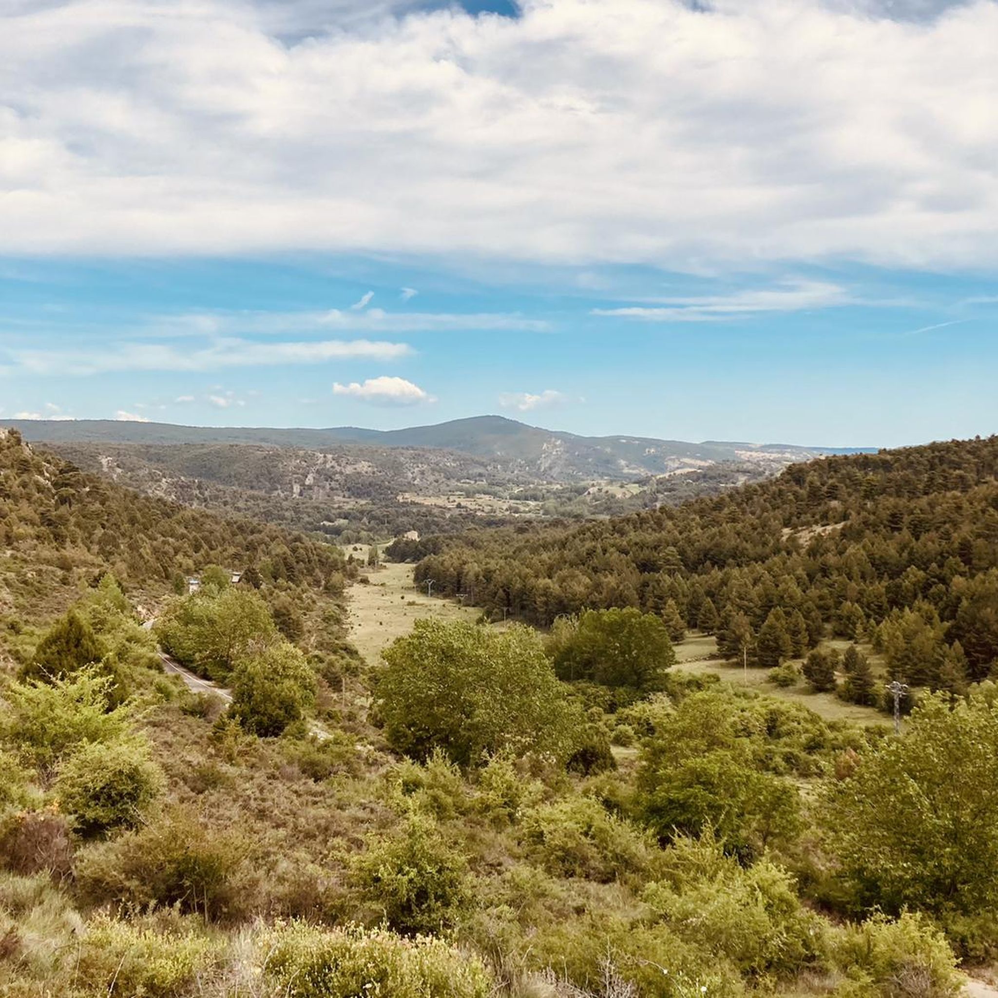
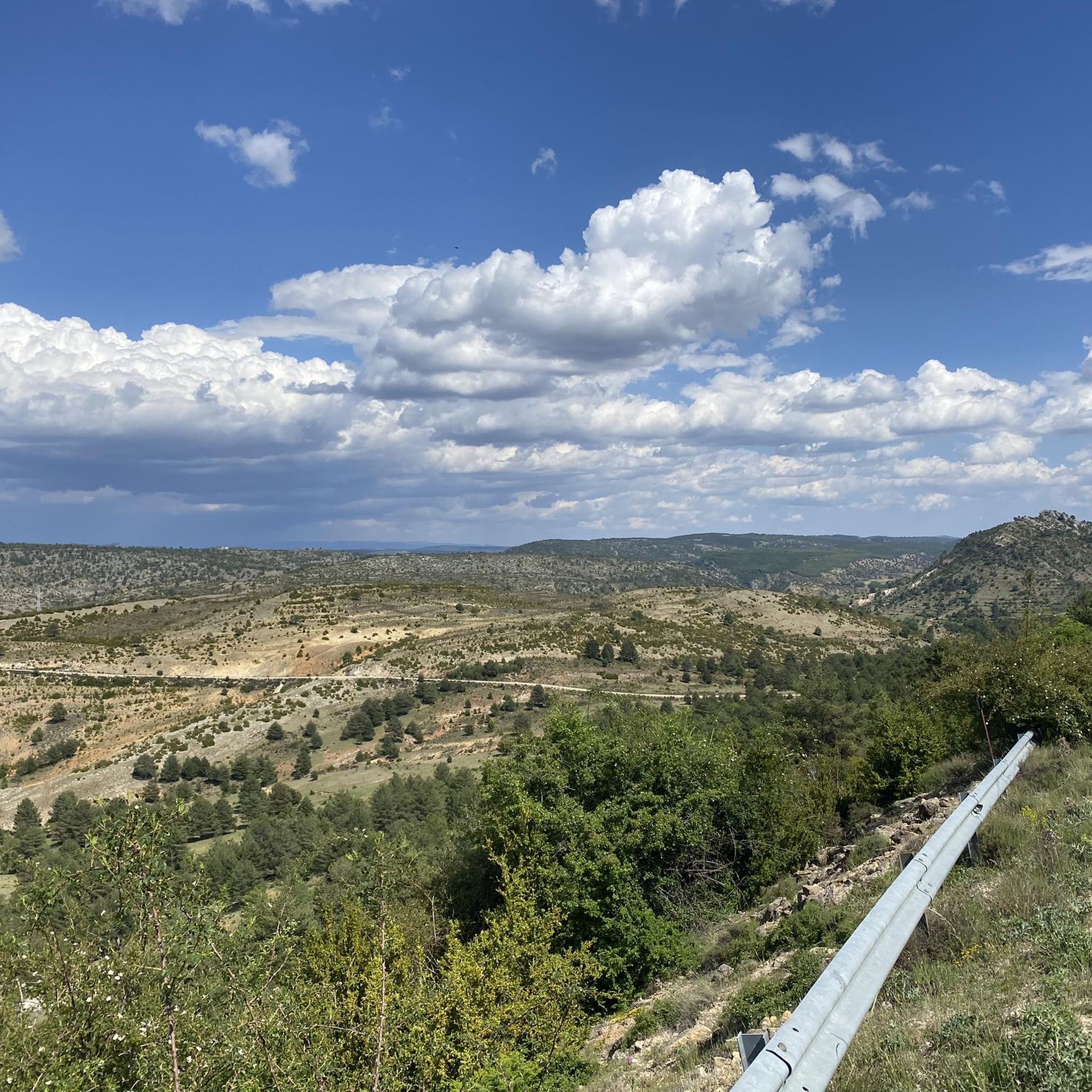
Mountain biking around Laguna Del Marquesado offers routes through a distinctive karstic wetland and mountainous terrain in the Serranía de Cuenca. The landscape features limestone formations, significant elevation changes, and extensive pine forests. Situated at over 1,300 meters of altitude, the area provides a truly mountainous setting with varied terrain for mountain bikers.
Best mountain bike trails around Laguna Del Marquesado
- The most popular mountain bike trail is Mountain biking in the Alto Tajo Natural Park, a 47.6 miles…
Last updated: May 15, 2026
76.7km
06:22
990m
990m
Hard mountain bike ride. Very good fitness required. Advanced riding skills necessary.
4.5
(2)
3
riders
26.2km
02:34
550m
550m
This moderate 16.3-mile mountain bike route from El Vallecillo explores the Ojos de Cabriel, Herrería, and San Pedro waterfalls.

Sign up for free
1
riders
Hard mountain bike ride. Good fitness required. Advanced riding skills necessary. Some portions of the route may require you to push your bike.
Hard mountain bike ride. Very good fitness required. Advanced riding skills necessary.
3.0
(1)
10
riders
57.0km
05:23
1,240m
1,240m
Hard mountain bike ride. Very good fitness required. Advanced riding skills necessary.
Get access to more routes and recommendations from other explorers.
Sign up for free
Already have an account?
Our route recommendations are based on thousands of hikes, rides, and runs completed by other people on komoot.
Start today with a free account
Your next adventure awaits.
Login or Signup

Other adventures around Laguna Del Marquesado

Tips from the Community

This shelter serves as a resting place and even as a place to spend the night during hikes. The surrounding area features stone tables and benches where you can sit and eat while enjoying the surroundings.
10
0
This section is before reaching Zafrilla and before and after it. I confess that the slope is tough and, especially if you do it on a hot day, you will have to take refuge (as was my case) in the shadows of the few scrubland trees to cope with the difficulty.
9
0

The official source of water is located at Fuente de García, in the Montes Universales, within the municipality of Frías de Albarracín (Teruel). It is located at an altitude of approximately 1,590 meters, surrounded by pine forests and high mountain meadows. Access is very easy and well signposted. Take the A-1704 highway, which connects Frías de Albarracín with Huélamo (Cuenca). From the highway, a paved detour of approximately 2 km takes you directly to the recreational area and the monument. There is free parking next to the monument.
10
0
Access is very easy and well signposted. Take the A-1704 highway, which connects Frías de Albarracín with Huélamo (Cuenca). From the highway, a paved detour of approximately 2 km takes you directly to the recreational area and the monument. There is free parking next to the monument.
5
0
The official source is located at Fuente de García, in the Montes Universales, within the municipality of Frías de Albarracín (Teruel). It is located at an altitude of approximately 1,590 meters, surrounded by pine forests and high mountain meadows.
5
0
It is a reference to the place where the longest river in Spain originates, stretching over 1,000 km and flowing into neighboring Portugal. These statues symbolize this point in the Albarracín mountain range.
8
0
Just as we leave Zafrilla heading towards the mountains, as well as leaving the asphalt road, we cross a ford of the village stream, along whose bank lies a stone bridge of possible Roman origin, although it is more likely of later date, but it is striking for its design and its fairly good state of preservation. It is currently closed to vehicle traffic.
7
0
We're in the town of Zafrilla, and in the lower part of the village, there's a spring or fountain near some old washhouses where women used to go to wash clothes. These are now preserved as a reminder of the past, although no one goes there to wash clothes anymore. There are also barbecues for spending a day outdoors.
8
0
Frequently Asked Questions
How many mountain bike trails are available around Laguna Del Marquesado?
There are over 8 mountain bike routes available in the Laguna Del Marquesado area, offering a range of experiences through its unique karstic wetland and mountainous terrain.
What kind of terrain can I expect when mountain biking in Laguna Del Marquesado?
You can expect a diverse and challenging landscape. The area features a distinctive karstic wetland, limestone formations, and extensive pine forests. Situated at over 1,300 meters of altitude, the terrain is mountainous with noticeable elevation changes, providing varied surfaces from flowing dirt paths to potentially rockier sections.
What are the typical difficulty levels for mountain bike trails in this area?
Mountain biking in Laguna Del Marquesado offers routes primarily in the moderate to difficult range. There are 2 moderate trails and 6 difficult trails, ensuring options for experienced riders seeking a challenge.
Are there any mountain bike routes that feature waterfalls or rivers?
Yes, several routes highlight the area's beautiful water features. For example, the Ojos del Cabriel, Herrería and San Pedro Waterfalls Loop is a moderate trail that takes you past the scenic Ojos del Cabriel and local waterfalls. Another option is the Ojos del Cabriel y cascada del Molino de San Pedro – circular desde Laguna del Marquesado por Montañas Vacías, a difficult route that also includes these natural attractions.
When is the best time of year to go mountain biking in Laguna Del Marquesado?
The area is renowned for its scenic beauty, which is particularly intense during spring and after periods of rain when water levels rise. These times offer lush landscapes and vibrant natural surroundings. Early mornings and late afternoons (dawn and dusk) are also recommended for the best visual appeal.
What natural attractions or landmarks can I see along the mountain bike trails?
The trails often pass by significant natural features. You can encounter the unique karstic wetland of the Laguna del Marquesado itself, as well as the Herrería Waterfall, the San Pedro Mill Waterfall, and the Ojos del Cabriel. The Laguna del Marquesado Nature Reserve is also a key highlight.
Are there any long-distance or challenging mountain bike routes for experienced riders?
Yes, for experienced riders seeking a challenge, the area offers several difficult and longer routes. The Mountain biking in the Alto Tajo Natural Park is a difficult 76.7 km route with significant elevation gain. Another demanding option is Huélamo – Spring and washhouse loop from Molatilla del Molino, which spans nearly 97.5 km.
What do other mountain bikers enjoy most about mountain biking in Laguna Del Marquesado?
The routes in Laguna Del Marquesado are highly rated by the komoot community, with an average score of 4.0 stars. Reviewers often praise the varied terrain, the unique karstic wetland, and the extensive pine forests that define the mountainous setting.
Are there any circular mountain bike routes in the area?
Yes, there are several circular routes. A popular option is the Ojos del Cabriel, Herrería and San Pedro Waterfalls Loop. Another notable circular trail is Nacimiento del río Tajo – circular desde Valdemeca por el Parque Natural Serranía de Cuenca, which is a difficult 49.2 km route.
What kind of wildlife can I spot while mountain biking in Laguna Del Marquesado?
The lagoon and its surroundings are a natural refuge for diverse flora and fauna. Birdwatchers might spot species such as the Woodcock, Cascade Sandpiper, Dipper, little grebe, mallard, moorhen, and common coot. The wider reserve is also home to various other birds, amphibians, reptiles, and mammals, including otters, foxes, and wildcats.
Is there a specific route that explores the Parque Natural Serranía de Cuenca?
Yes, the Nacimiento del río Tajo – circular desde Valdemeca por el Parque Natural Serranía de Cuenca is a 49.2 km difficult trail that leads directly through this natural park, offering an immersive experience of its landscapes.
Most popular routes around Laguna Del Marquesado
Most popular attractions around Laguna Del Marquesado

Get inspired with the komoot mobile app


Explore more
Browse the best MTB trails in other regions.
