The best walks and hikes around Valmojado
33
hikers
7
hikes
Hiking around Valmojado offers exploration of the "Toledo steppe," characterized by extensive cereal fields and olive groves. This agricultural landscape provides a tranquil, rural backdrop for outdoor activities. The region's terrain is generally gentle, with modest elevation changes, making it accessible for various hiking abilities. Natural features like the Dehesa de Valdeniebla are central to the area's hiking appeal.
Best hiking trails around Valmojado
- The most popular hiking route is Dehesa de Valdeniebla — circular desde Valmojado, a 6.9…
Last updated: May 10, 2026
3
hikers
11.1km
02:56
100m
100m
Moderate hike. Good fitness required. Easily-accessible paths. Suitable for all skill levels.
1
hikers
6.92km
01:53
90m
100m
Easy hike. Great for any fitness level. Easily-accessible paths. Suitable for all skill levels.

Sign up for free
4
hikers
10.6km
02:48
100m
100m
Moderate hike. Good fitness required. Easily-accessible paths. Suitable for all skill levels.
4
hikers
5.33km
01:23
40m
40m
Easy hike. Great for any fitness level. Easily-accessible paths. Suitable for all skill levels.
1
hikers
24.7km
06:28
190m
190m
Hard hike. Very good fitness required. Easily-accessible paths. Suitable for all skill levels.
Get access to more routes and recommendations from other explorers.
Sign up for free
Already have an account?
Our route recommendations are based on thousands of hikes, rides, and runs completed by other people on komoot.
Start today with a free account
Your next adventure awaits.
Login or Signup

Tips from the Community

nice and easy area, better without much rain.
0
1

The square is very pretty, well maintained and clean. There are many terraces that are always lively and have very good food, perfect for a stop halfway out.
0
1

Near Móstoles, the Guadarrama River widens and this curious iron bridge allows pedestrians and cyclists to pass safely, as well as allowing you to contemplate the course of the water.
1
0

Valmojado, as its name already suggests, has a close relationship with water and the underground trips it makes through the municipality. These trips are manifested in the Cinco Fuentes (Quique Fontes) that are located at the main access points to the town. Each of these fountains has its own name: Fuente del Caño Viejo or Fresco, Fuente del Indiano, Fuente de la Teja, Caño de Méntrida and Fuente de la Salud.
0
1

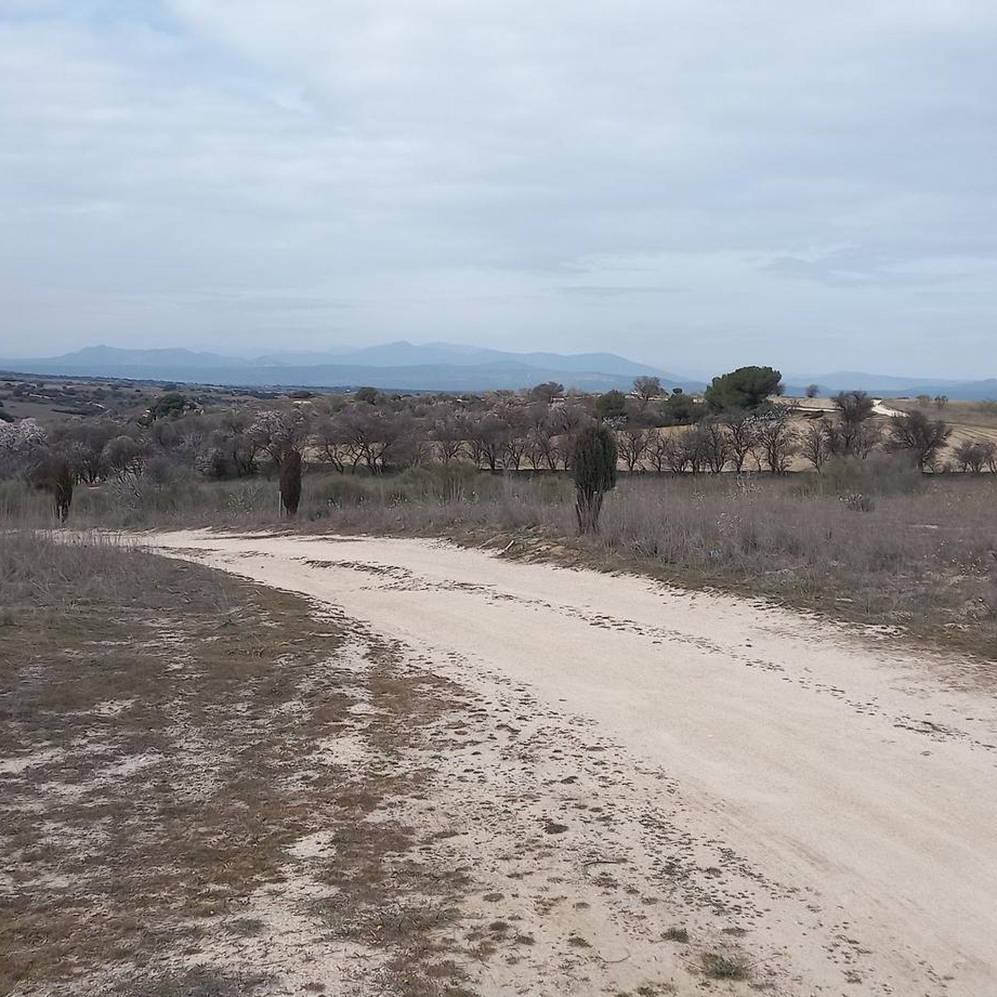
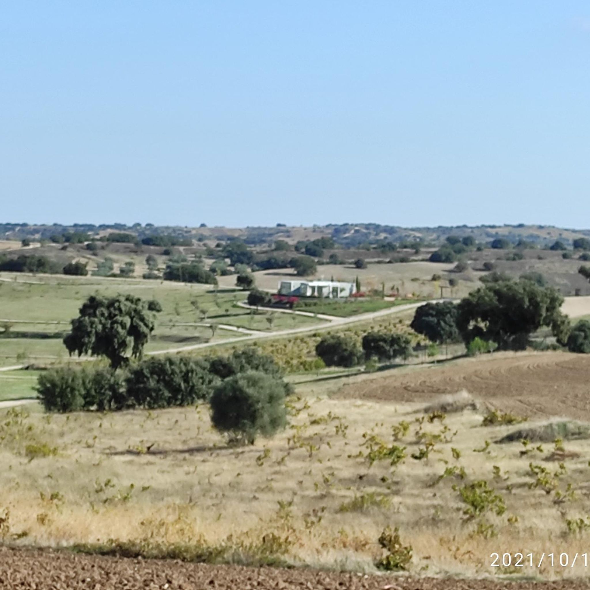
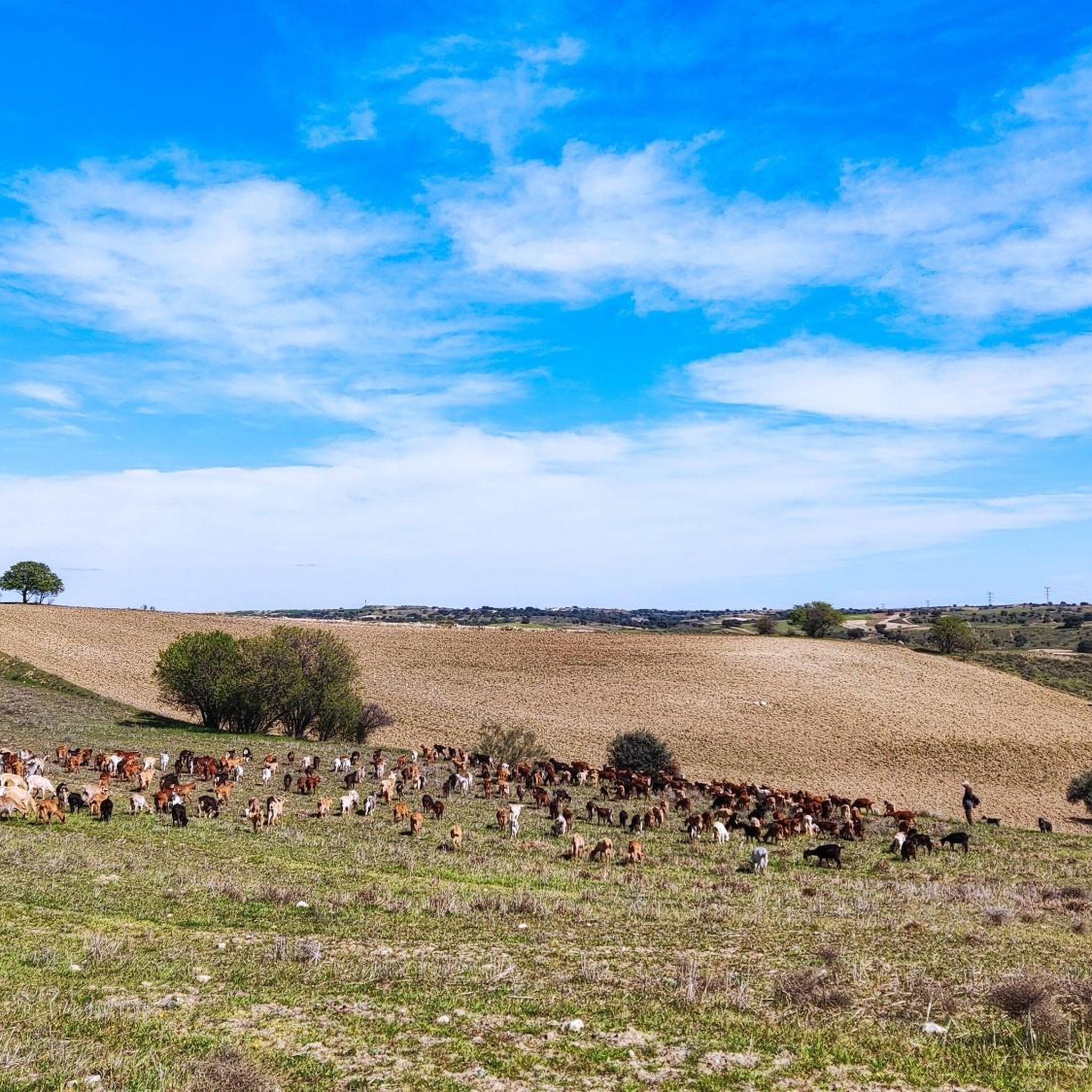
The Dehesa de Valdeniebla is a beautiful place, dominated by the gall oak. Since 1747 it was the Valmojado boyal pasture. There is a marked hiking route, along the way we also find a viewpoint and a fountain. Always following the signs you can enjoy the walk through this treasure of great ecological value.
2
0
The hermitage of San Isidro is the starting point for a walk through the Valdeniebla pasture. You can leave your car right next to it, as it has a space to leave your vehicle. It also has a picnic area. The hermitage was built in 2004.
1
0

In Navalcarnero you can go from square to square, enjoying a well-deserved rest. There are squares with a long history, such as Plaza de Segovia, and recently created squares such as D. Francisco Sandoval, Plaza V Centenario, Plaza de la Virgen de la Cueva, etc.
2
1
One of the original iron bridges of this 19th century railway that crosses the course of the Guadarrama River and that today has been re-conditioned for cycling and pedestrian use.
4
0
Frequently Asked Questions
How many hiking trails are available around Valmojado?
There are several hiking trails around Valmojado, with a total of 7 routes documented on komoot. These range from easy strolls to more moderate excursions, offering diverse experiences within the region's characteristic landscapes.
What kind of landscapes can I expect to see while hiking in Valmojado?
Hiking in Valmojado primarily takes you through the 'Toledo steppe,' characterized by extensive cereal fields and tranquil olive groves. You'll experience a distinctive rural backdrop, particularly within areas like the Dehesa de Valdeniebla, which is a significant natural feature with dedicated routes.
Are there any easy hiking trails suitable for beginners or a relaxed walk?
Yes, Valmojado offers several easy trails. For example, the Valdeniebla Trail is an easy 6.9 km path that explores diverse landscapes within the historic Dehesa de Valdeniebla. Another option is the Guadarrama River loop from Urbanización San Marcos, an easy 5.3 km route through riverside scenery.
Are there any circular hiking routes in the Valmojado area?
Yes, Valmojado features several circular routes. A notable one is the Dehesa de Valdeniebla — circular desde Valmojado, a moderate 11.1 km trail that allows you to explore the natural Dehesa and return to your starting point.
What are some interesting landmarks or historical sites I can see near the hiking trails?
Beyond the natural landscapes, you can explore several historical sites. The Casarrubios del Monte Historical Center, with its 14th-century Mudejar-style castle, is nearby and offers cultural interest. You might also encounter the Navalcarnero Main Square or the Hermitage of Our Lady Virgin of Socorro.
What is the best time of year to go hiking in Valmojado?
Given the region's agricultural landscape and the 'Toledo steppe' characteristics, spring and autumn are generally the most pleasant times for hiking in Valmojado. The temperatures are milder, and the natural scenery, with its cereal fields and olive groves, is particularly vibrant or offers beautiful autumnal colors.
Are there any longer or more challenging hikes available?
For those seeking a longer challenge, the Navalcarnero Main Square – Tribute to Democracy loop from Navalcarnero is a difficult 25 km route. This trail offers a more extensive exploration of the surrounding area for experienced hikers.
What do other hikers say about the trails in Valmojado?
Over 30 hikers have used komoot to explore Valmojado's varied terrain. They often appreciate the tranquil, rural landscapes, particularly the extensive cereal fields and olive groves, which provide a peaceful backdrop for outdoor activities.
Are there any trails that explore the Dehesa de Valdeniebla specifically?
Yes, the Dehesa de Valdeniebla is a central feature for hiking in the area. You can explore it via the moderate Dehesa de Valdeniebla — circular desde Valmojado (11.1 km) or the easier Valdeniebla Trail (6.9 km), both offering immersion in this significant natural area.
What kind of terrain can I expect on Valmojado's hiking trails?
The terrain around Valmojado is generally gentle, characterized by the 'Toledo steppe' with modest elevation changes. You'll mostly encounter paths through agricultural fields, olive groves, and natural areas like the Dehesa de Valdeniebla, making it accessible for various hiking abilities.
Are there any trails that follow a river or offer waterside views?
Yes, the Guadarrama River loop from Urbanización San Marcos is an easy 5.3 km trail that leads through pleasant riverside scenery, offering a different natural experience compared to the open fields.
Most popular attractions around Valmojado

Get inspired with the komoot mobile app


Explore more
Browse the best Hikes in other regions.
