Aizkorri-Aratz parke naturala/Parque Natural de Aizkorri-Aratz
Aizkorri-Aratz parke naturala/Parque Natural de Aizkorri-Aratz
The best mountain hikes around Aizkorri-Aratz parke naturala/Parque Natural de Aizkorri-Aratz
5.0
(2)
81
hikers
10
hikes
Mountaineering routes around Aizkorri-Aratz parke naturala/Parque Natural de Aizkorri-Aratz traverse a landscape dominated by impressive limestone mountains, including the highest peaks in the Basque Country like Aitxuri (1,551 m) and Aizkorri (1,544 m). The park features a distinct karstic geology, resulting in ridges, dolines, and caverns. Extensive ancient beech and sessile oak forests cover lower slopes, giving way to mountain meadows at higher altitudes. This diverse terrain offers challenging and rewarding climbs for mountaineers.
Best mountaineering routes around Aizkorri-Aratz parke naturala/Parque Natural de Aizkorri-Aratz
- The most popular mountaineering route is Aitxuri – Aizkorri loop from Komentua, a 9.3 miles (15.0 km) trail that takes 6 hours 20 minutes to complete. This difficult route ascends two of the region's highest peaks, offering expansive views across the Basque Country.
- Another top favourite among local mountaineers is Aratz – Imeleku loop from Araia, a difficult 6.7 miles (10.8 km) path. This route features significant elevation gain through rugged mountain terrain, often completed in about 4 hours 58 minutes.
- Local mountaineers also love the Aizkorri – Liñategieta loop from San Adriango tunela, a 5.6 miles (9.1 km) trail leading through the historic San Adrián Tunnel and up towards the Aizkorri massif, often completed in about 4 hours 13 minutes.
- Mountaineering around Aizkorri-Aratz parke naturala/Parque Natural de Aizkorri-Aratz is defined by challenging limestone peaks, karstic formations, and ancient beech forests. The network offers options for moderate and difficult ability levels, with 9 difficult routes and 3 moderate routes available.
- The routes in Aizkorri-Aratz parke naturala/Parque Natural de Aizkorri-Aratz are highly rated by the komoot community with an average score of 5.0 stars from 3 reviews. More than 100 mountaineers have used komoot to explore Aizkorri-Aratz parke naturala/Parque Natural de Aizkorri-Aratz's varied terrain.
Last updated: July 2, 2026
5.0
(1)
29
hikers
14.9km
06:22
890m
890m
Hard mountaineering route. Very good fitness required. Mostly accessible paths. Sure-footedness required.
9
hikers
Hard mountaineering route. Good fitness required. Sure-footedness, sturdy shoes and alpine experience required.

Sign up for free
6
hikers
11.0km
04:09
580m
580m
Moderate mountaineering route. Good fitness required. Mostly accessible paths. Sure-footedness required.
6
hikers
10.3km
03:41
520m
520m
Moderate mountaineering route. Good fitness required. Mostly accessible paths. Sure-footedness required.
5.0
(1)
7
hikers
7.38km
03:19
570m
570m
Hard mountaineering route. Good fitness required. Sure-footedness, sturdy shoes and alpine experience required.
Get access to more routes and recommendations from other explorers.
Sign up for free
Already have an account?
Our route recommendations are based on thousands of hikes, rides, and runs completed by other people on komoot.
Start today with a free account
Your next adventure awaits.
Login or Signup
Popular around Aizkorri-Aratz parke naturala/Parque Natural de Aizkorri-Aratz
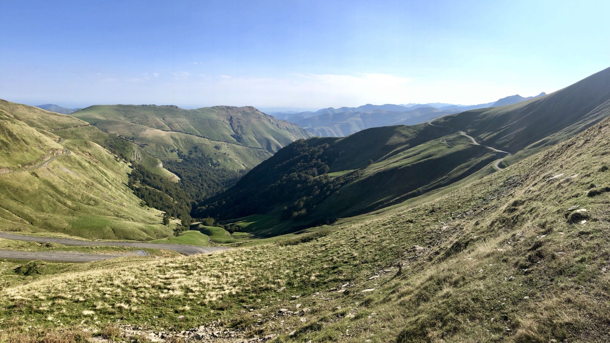
Euskal Herria footpath (GR 12) – The infinite mountain range
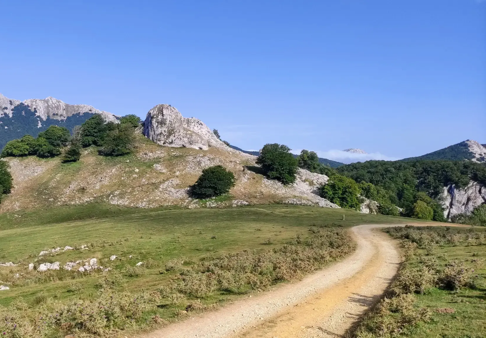
The Ignatian Way - In the footsteps of Ignatius of Loyola
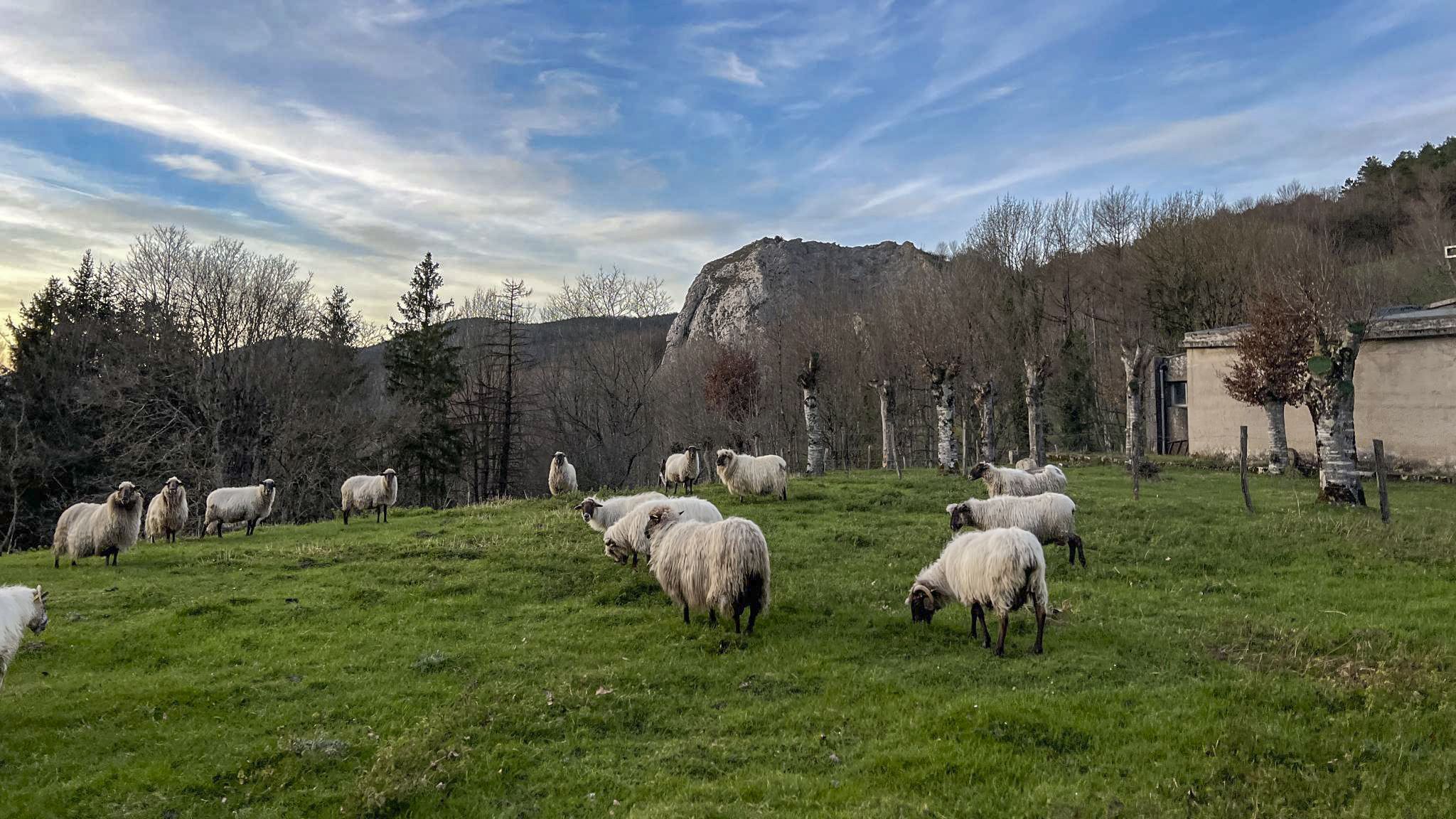
Basque Traditions and Landscapes - Idiazabal Cheese Route (GR 283)
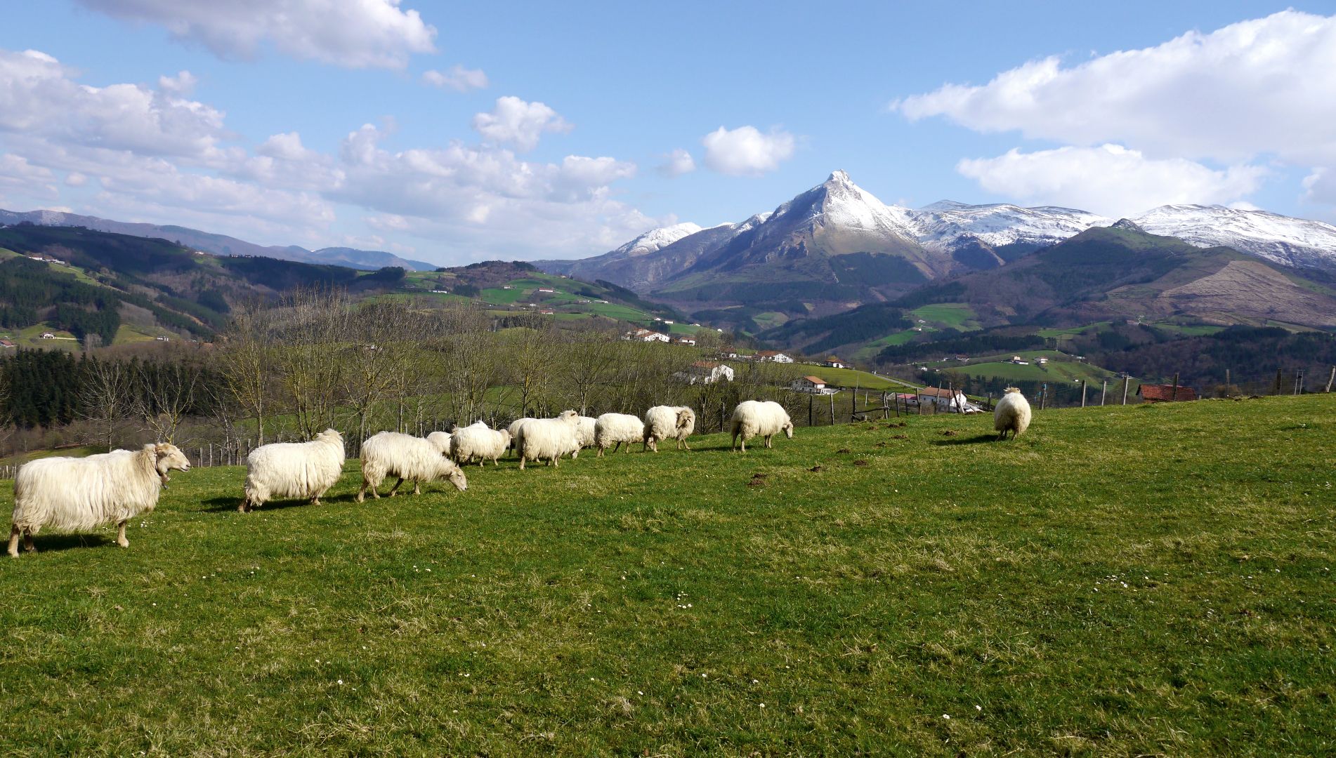
Mountains with tradition in Spain’s Basque Country – Shepherd's Path (GR 282)
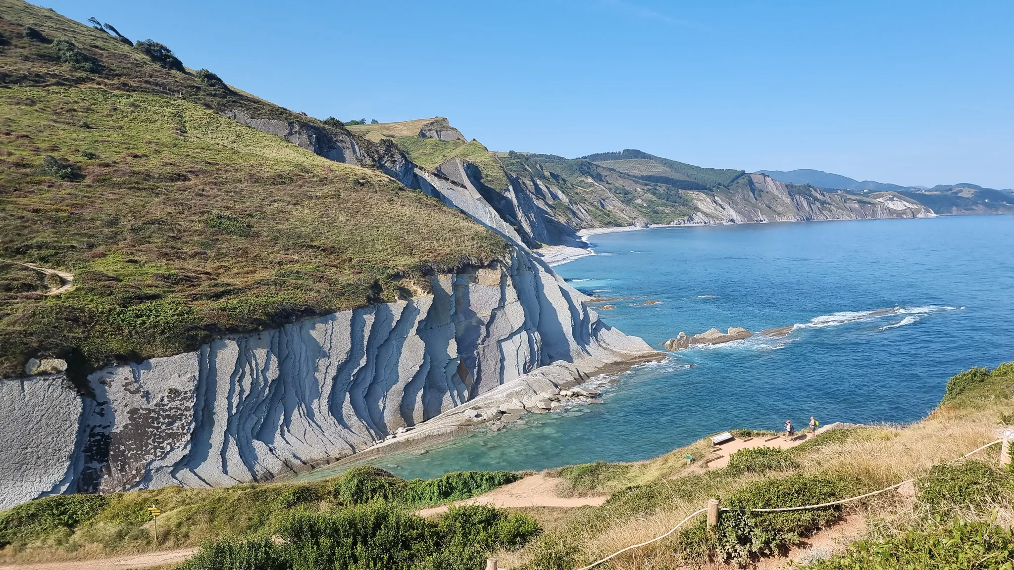
Between the sea and the mountains — GR 121: Tour of Guipúzcoa
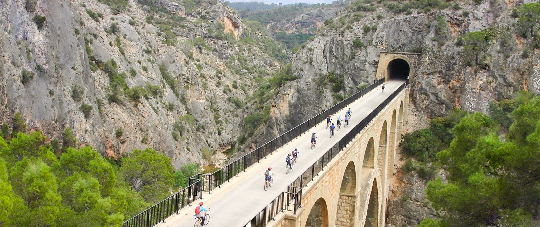
Vías Verdes – traffic-free cycling along railway history in Spain
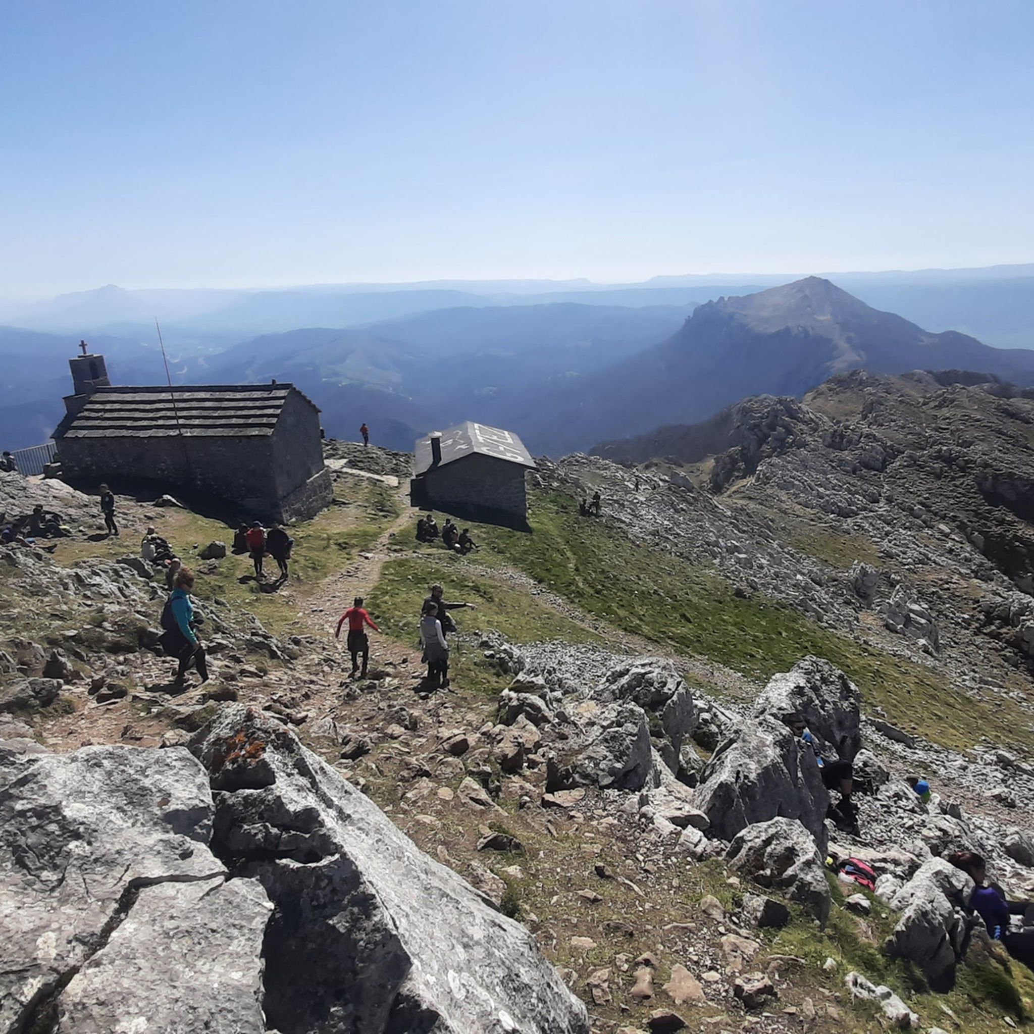
Hiking around Aizkorri-Aratz parke naturala/Parque Natural de Aizkorri-Aratz
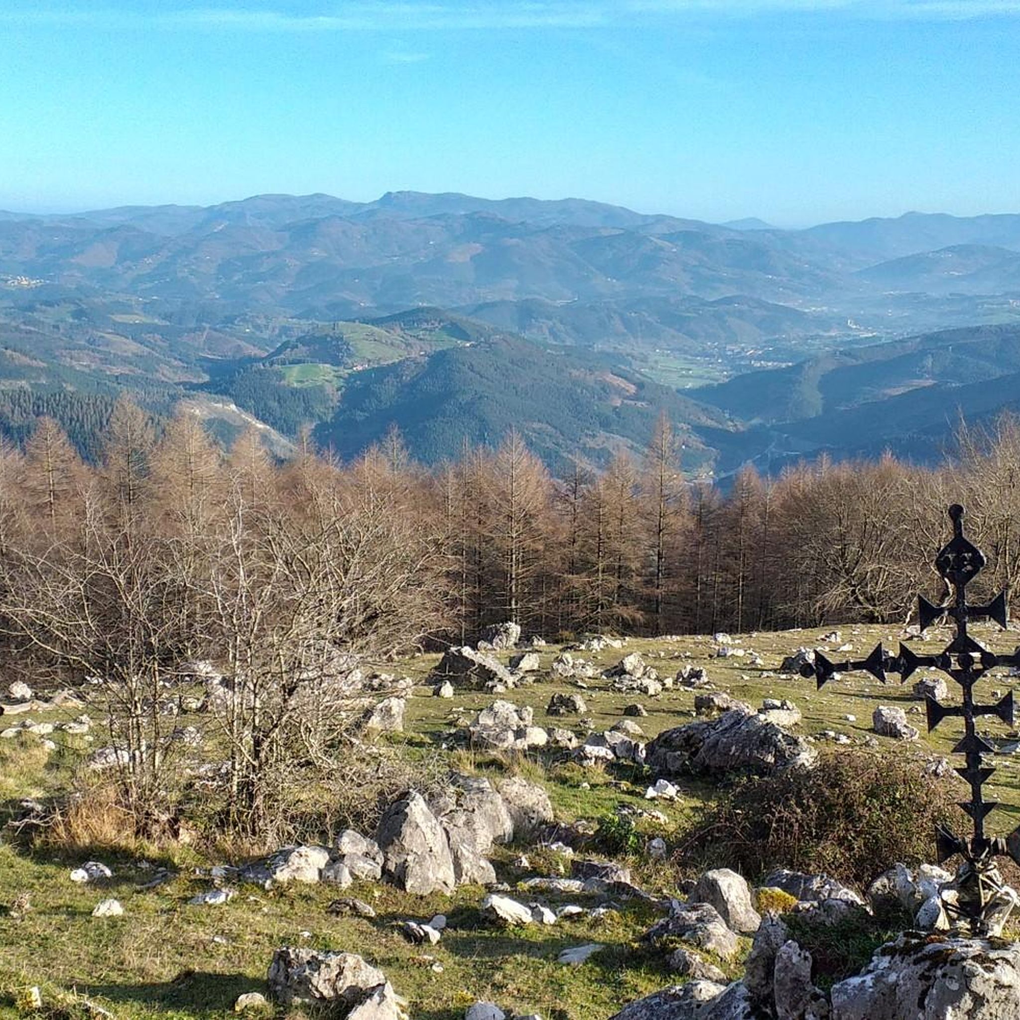
MTB Trails around Aizkorri-Aratz parke naturala/Parque Natural de Aizkorri-Aratz
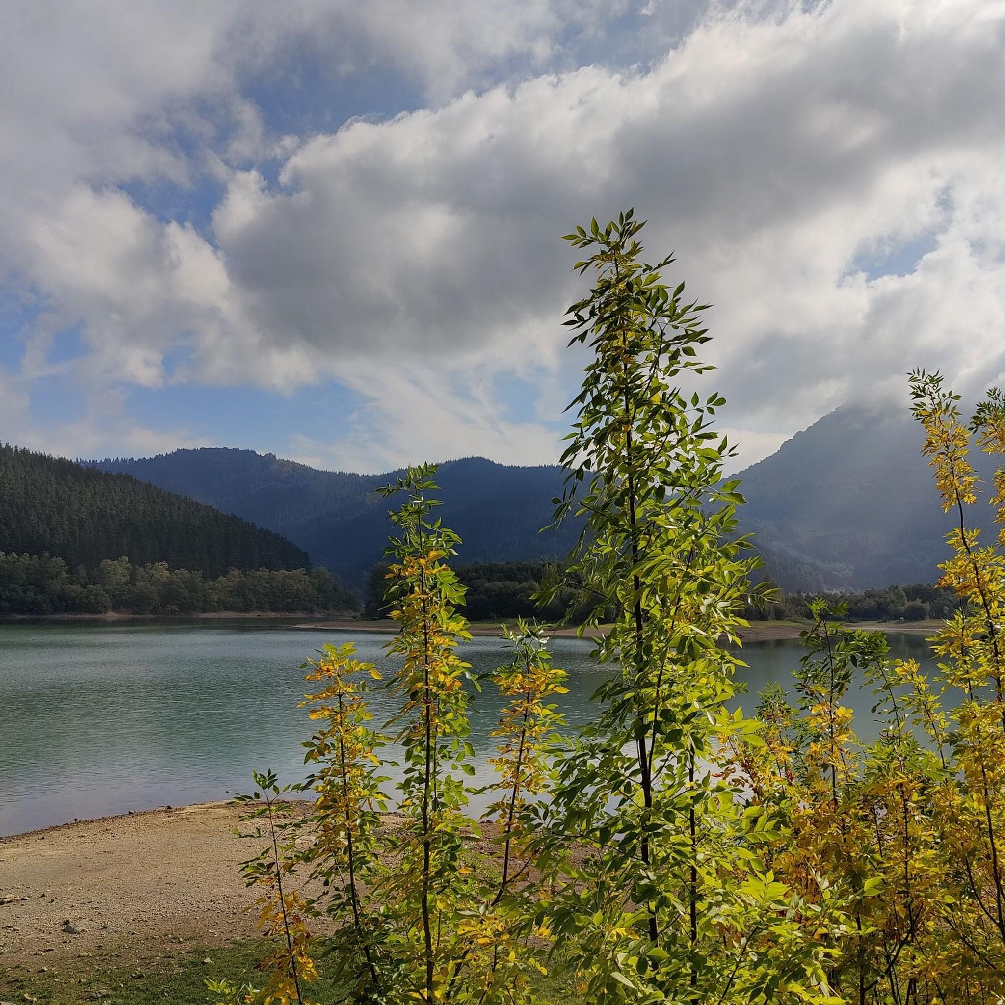
Cycling around Aizkorri-Aratz parke naturala/Parque Natural de Aizkorri-Aratz
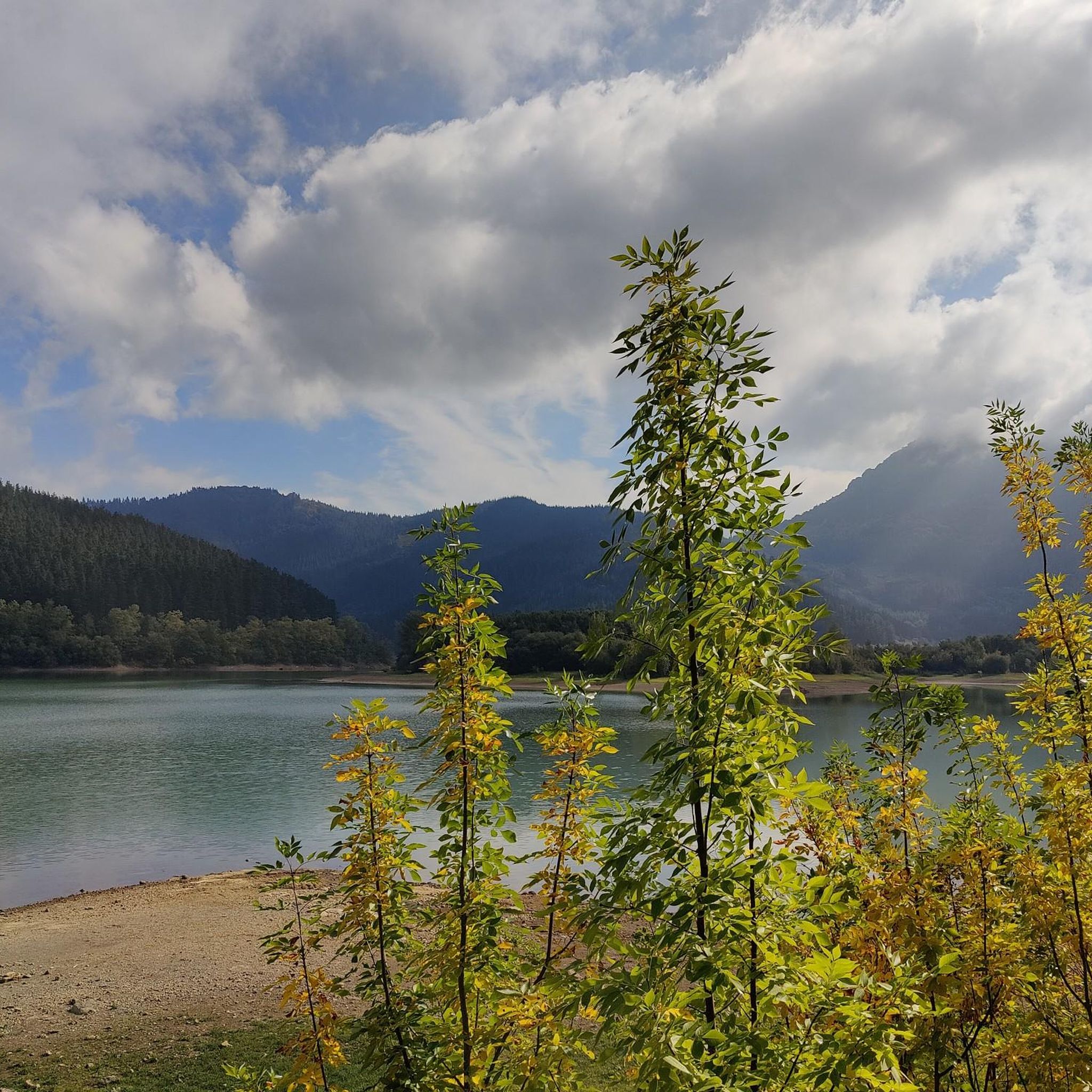
Running Trails around Aizkorri-Aratz parke naturala/Parque Natural de Aizkorri-Aratz
Other adventures around Aizkorri-Aratz parke naturala/Parque Natural de Aizkorri-Aratz


Tips from the Community


It's one of those places that impresses you, and the climb is a delight.
0
0

What's the deal with the names? Are "aketegi" and "aitxuri" the same thing?
0
0

The hermitage of Andra Mari de Urbia is located in a wide, green valley surrounded by mountains, within the Aizkorri-Aratz Natural Park, between Oñati and Zegama. It is an emblematic spot for Basque mountaineers, a common stop on routes to Mount Aizkorri and other peaks of the massif. The small church, dedicated to the Virgin Mary, stands next to a shelter and a meadow ideal for resting or enjoying the views.
2
0
One of Gipuzkoa's iconic mountains. And no wonder. I'd never done it before, and I loved it.
4
0

If you climb from Araotz, follow the PR, and the climb is very easy and short. From the cave parking lot, it's much steeper and zigzags. About 2.5 or 3 km with a lot of elevation gain.
2
1

An inn dating back to 1925, located in the beautiful URBIA, which fulfills its role magnificently, HAPPY BIRTHDAY!
1
0
One of the highest points in the Basque Country, let yourself be enveloped by the fog and it will seem like a magical place.
0
0
Frequently Asked Questions
What types of mountaineering routes can I find in Aizkorri-Aratz Natural Park?
Aizkorri-Aratz Natural Park offers a diverse range of mountaineering routes, primarily featuring challenging limestone peaks and karstic formations. You'll find options for both moderate and difficult ability levels, with 9 difficult routes and 3 moderate routes available. The park is renowned for its impressive mountains, including Aitxuri (1,551 m) and Aizkorri (1,544 m), the highest peaks in the Basque Country.
Are there any circular mountaineering routes in the park?
Yes, the park features several rewarding circular routes. For instance, the challenging Aitxuri – Aizkorri loop from Komentua is a 9.3-mile (15.0 km) trail that ascends two of the region's highest peaks. Another popular option is the Aratz – Imeleku loop from Araia, a difficult 6.7-mile (10.8 km) path with significant elevation gain.
What are some notable natural features or landmarks I might encounter on a mountaineering route?
Mountaineering routes in Aizkorri-Aratz often traverse spectacular karstic landscapes, featuring ridges, dolines, and caverns. You might also pass through ancient beech and sessile oak forests, which give way to mountain meadows at higher altitudes. A significant historical and natural attraction is the San Adrián Tunnel, a medieval roadway carved through the mountain, which is part of the Aizkorri – Liñategieta loop from San Adriango tunela route.
What is the best time of year for mountaineering in Aizkorri-Aratz Natural Park?
The best time for mountaineering generally depends on your experience and the specific route. While the park offers year-round opportunities, spring and autumn provide pleasant temperatures and vibrant scenery. Summer can be warm but is ideal for higher altitudes. Winter mountaineering is possible but requires appropriate gear and experience due to snow and ice conditions on the higher peaks.
Are there any family-friendly mountaineering options?
While many routes in Aizkorri-Aratz are rated as difficult, there are moderate options that might be suitable for families with older children or those with some hiking experience. For example, the Hermitage of Andra Mari de Urbia – Enaitz Summit loop from Komentua is a moderate 6.8-mile (11.0 km) route that offers beautiful views and cultural interest.
What kind of terrain should I expect on the mountaineering routes?
Expect challenging terrain dominated by limestone mountains. The routes often feature rocky paths, steep ascents and descents, and uneven surfaces characteristic of a karstic landscape. You'll navigate through diverse environments, from dense beech forests to open mountain meadows and exposed ridges, requiring good footwear and a steady footing.
Where can I find parking for the mountaineering trails?
Parking availability varies depending on the trailhead. Popular starting points like Komentua (for the Aitxuri – Aizkorri loop) or Araia (for the Aratz – Imeleku loop) typically have designated parking areas. For routes starting near the San Adrián Tunnel, you'll find parking facilities nearby, often serving as access points to the historic pass.
What do other mountaineers say about their experience in Aizkorri-Aratz Natural Park?
The mountaineering routes in Aizkorri-Aratz Natural Park are highly rated by the komoot community, with an average score of 5.0 stars from 3 reviews. Over 100 mountaineers have used komoot to explore the park's varied terrain, often praising the challenging climbs, the stunning panoramic views from the summits, and the unique karstic features and ancient forests.
Are there any interesting caves or geological formations to explore?
Absolutely. The park's predominantly limestone geology has created a spectacular karstic landscape. Beyond the famous San Adrián Tunnel, you can find other notable caves like the Eye of Aitzulo and Aitzorrotz Cave. These formations are integral to the region's unique natural beauty and offer fascinating points of interest along or near many routes.
Can I reach the park's mountaineering trailheads using public transport?
While specific public transport options directly to all trailheads might be limited, some villages bordering the park, such as Araia or Zalduendo, may be accessible by bus services. From these points, you might need to arrange local transport or walk to reach the starting points of the mountaineering routes. It's advisable to check local bus schedules in advance for the most up-to-date information.
What are the highest peaks I can climb in Aizkorri-Aratz Natural Park?
The park is home to the highest peaks in the Basque Country. The two most prominent are Aitxuri, standing at 1,551 meters, and Aizkorri, at 1,544 meters. Many mountaineering routes, such as the Liñategieta – Aizkorri loop from San Adriango tunela, offer the opportunity to summit these impressive mountains and experience their expansive views.
Most popular routes around Aizkorri-Aratz parke naturala/Parque Natural de Aizkorri-Aratz
Most popular attractions around Aizkorri-Aratz parke naturala/Parque Natural de Aizkorri-Aratz

Get inspired with the komoot mobile app


Explore more
Browse the best Mountain Hikes & Routes in other regions.
