The best cycling routes around Villar Del Río
5.0
(1)
30
riders
8
rides
Touring cycling around Villar del Río offers diverse landscapes within the sparsely populated Soria province, characterized by river valleys and mountainous areas. The region features quiet secondary roads and varied gradients, providing a tranquil environment for cyclists. The Cidacos River valley offers scenic routes, while the broader area includes geological features such as dinosaur footprint sites. This setting provides a mix of fertile plains, river paths, and challenging climbs.
Best touring cycling routes around Villar Del Río
- The most popular…
Last updated: June 28, 2026
6
riders
Hard bike ride. Very good fitness required. Mostly paved surfaces. Suitable for all skill levels.
7
riders
20.0km
01:26
440m
440m
Moderate bike ride. Good fitness required. Mostly paved surfaces. Suitable for all skill levels.

Sign up for free
5
riders
48.9km
03:58
1,140m
1,140m
Hard bike ride. Very good fitness required. Mostly paved surfaces. Suitable for all skill levels.
2
riders
24.5km
01:55
610m
610m
Hard bike ride. Very good fitness required. Mostly paved surfaces. Suitable for all skill levels.
2
riders
31.2km
02:46
700m
690m
Hard bike ride. Very good fitness required. Mostly paved surfaces. Suitable for all skill levels.
Get access to more routes and recommendations from other explorers.
Sign up for free
Already have an account?
Our route recommendations are based on thousands of hikes, rides, and runs completed by other people on komoot.
Start today with a free account
Your next adventure awaits.
Login or Signup
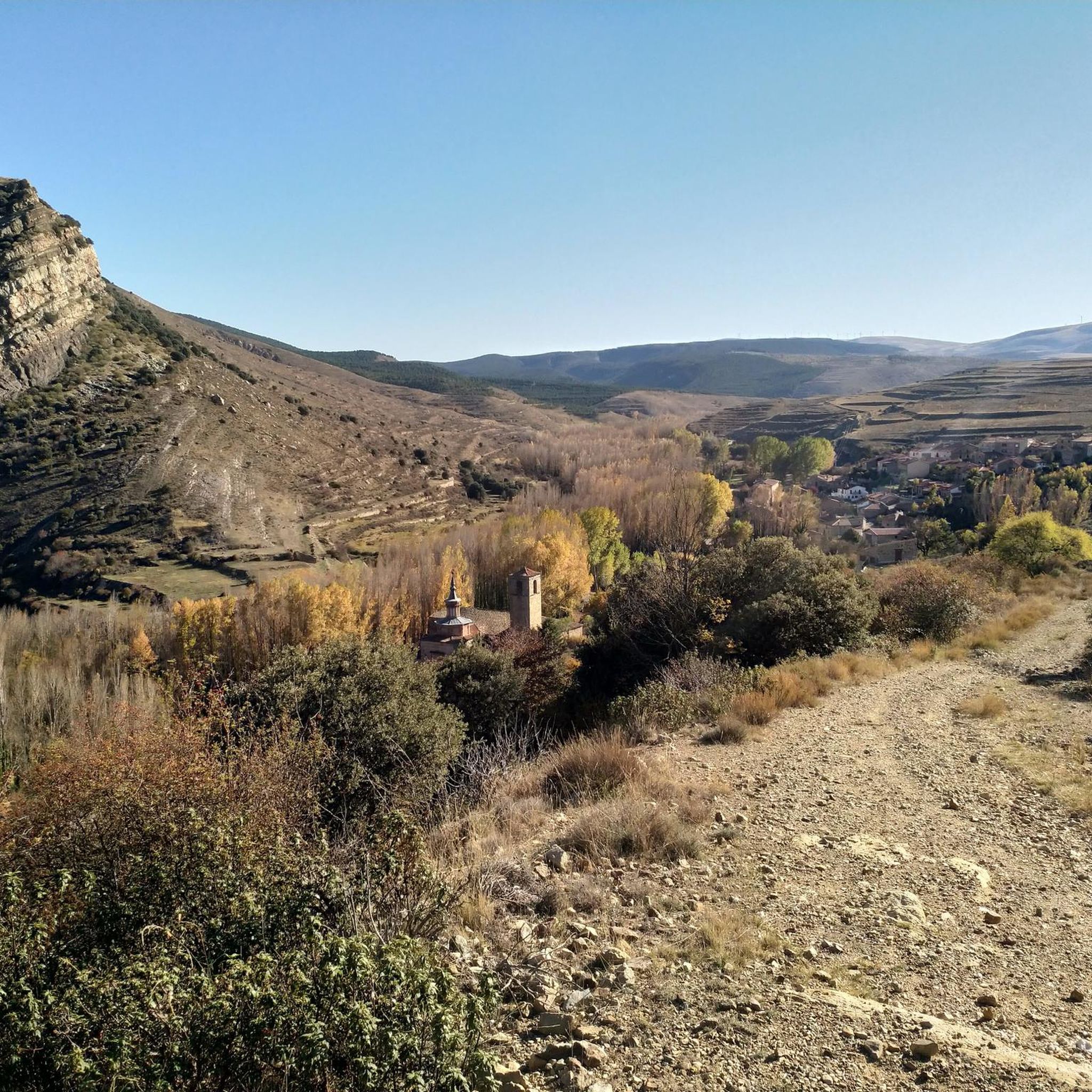
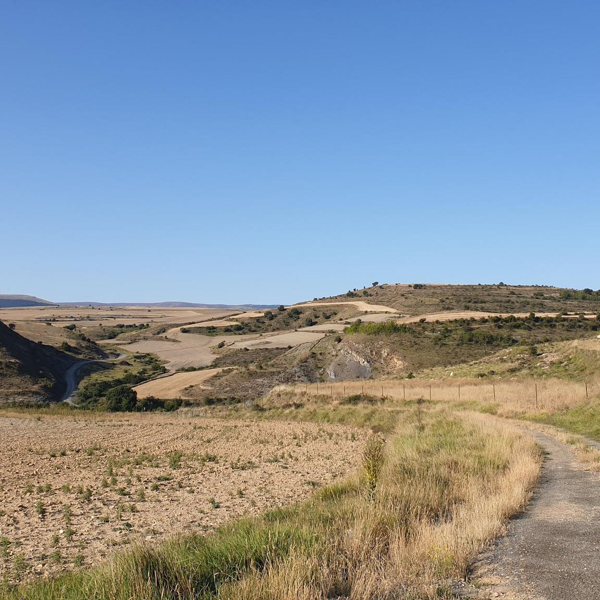
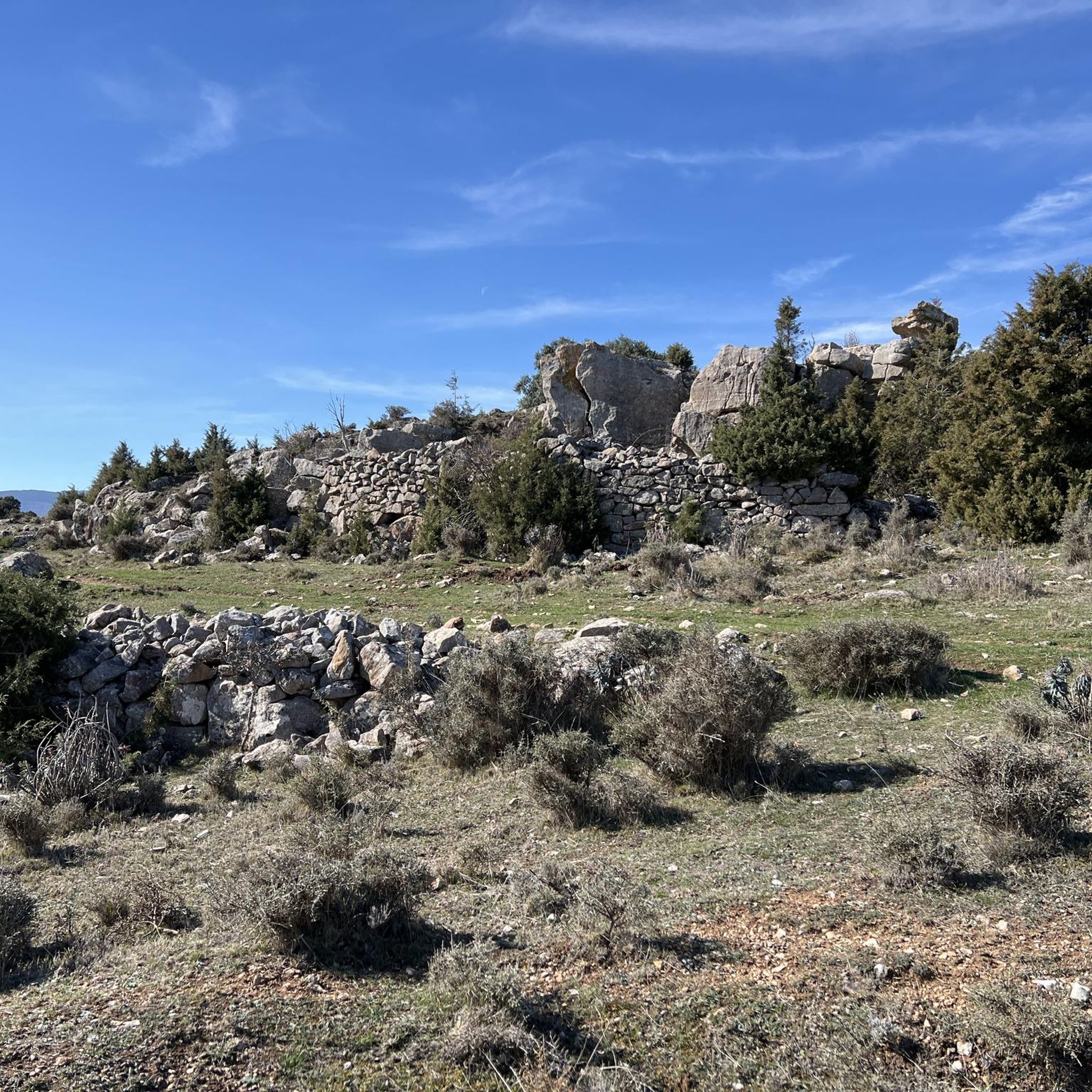
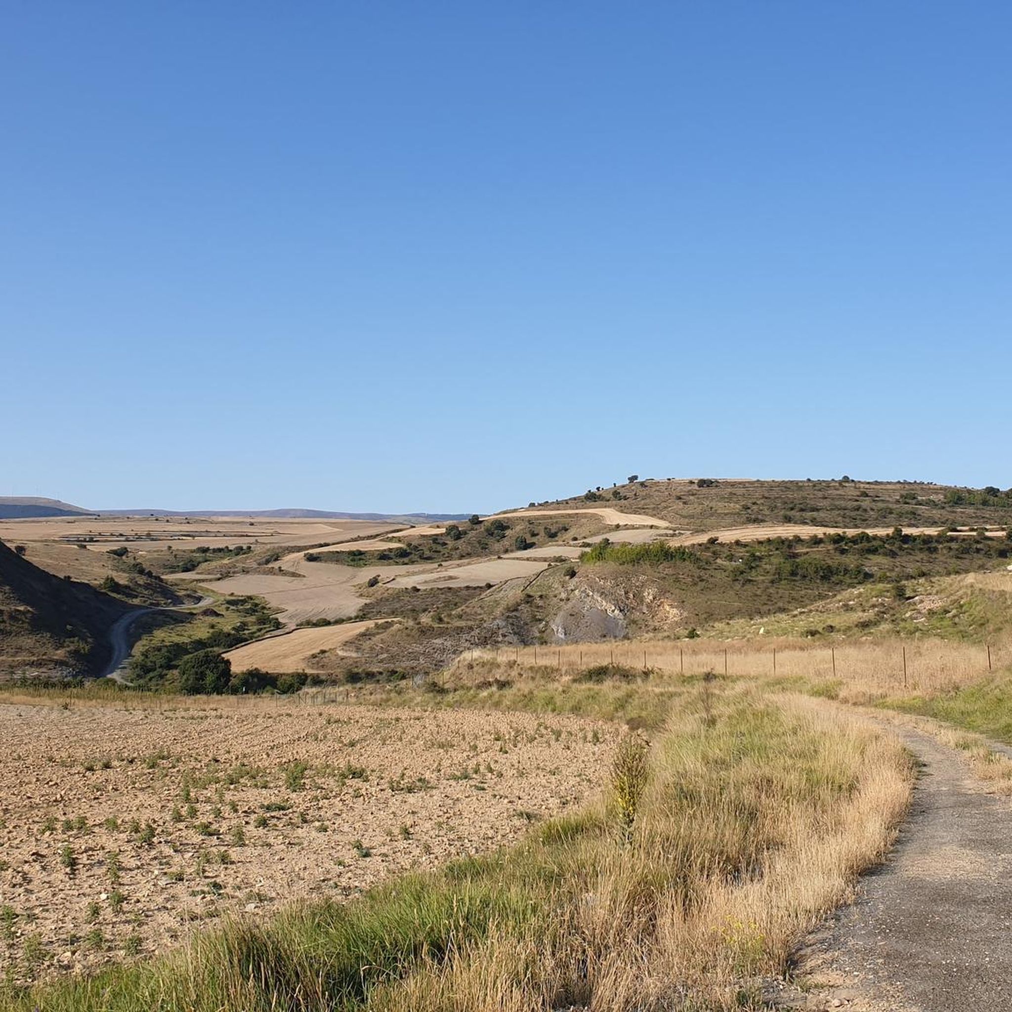
Tips from the Community

there is a fountain and bar in the square
1
0

Santa Cruz de Yanguas is a municipality in Soria in the Tierras Altas region, community of Castilla y León. During the Middle Ages it was part of the Community of Villa y Tierra de Yanguas. It is located in the Baos River basin, and has important forest and mycological resources. The municipal area is part of the Urbión Regional Reserve, with a large presence of deer, roe deer, wild boar and woodcock. Of its heritage, the Roman bridge that spans the bed of the Baos River, the church of the Santísima Trinidad (16th century) in Gothic style and the hermitage of the Virgen del Pilar stand out. As in the rest of the region, you can find dinosaur footprints (ichnites).
2
0

The port of Piqueras is located at 1710 meters above sea level, in the heart of the Sierra Cebollera natural park. The highest point offers a magnificent panoramic view of the surrounding mountains and their immense forest mass.
0
0

Enciso has been declared a Biosphere Reserve by UNESCO because 3,000 dinosaur footprints have been found here. This paleo-adventure park shows you interactively how these prehistoric animals lived millions of years ago. It also has swimming pools, geysers, adventure circuits, a climbing wall, a restaurant and two cafeterias.
0
0
Torremuña is a town that had only 13 inhabitants in 2011. It is crowned by the church of Santa María La Blanca, which is in ruins. In ancient times, the town prospered thanks to the production of cereals, legumes and wool yarn. Little by little it became depopulated and in 1971 three Spanish-Flemish tables from the 16th century were stolen from its church.
0
0
Enciso is located in a mountainous area of the Iberian system and is crossed by the Cidacos River. In the town there are more than 3,000 dinosaur footprints and it has a paleontological center with information on how they were formed.
0
0
Munilla is located at the foot of the Sierras de la Hez, Hayedo de Santiago and Cameros Viejos. It is famous for the many footprint sites found in its vicinity (around 900). The most important are those of "Peñaportillo" and "La Canal", which are 2 kilometers from Munilla and are easily accessible.
0
0

Frequently Asked Questions
How many touring cycling routes are available around Villar Del Río?
There are currently 6 touring cycling routes available around Villar Del Río on komoot. These routes are generally considered challenging and offer diverse landscapes for experienced cyclists.
What kind of terrain can I expect on touring cycling routes near Villar Del Río?
The terrain around Villar Del Río is quite varied, featuring a mix of fertile plains, river valleys, and mountainous areas. You'll encounter quiet secondary roads, some challenging climbs, and paths through the Cidacos River valley. The region is known for its tranquil environment and minimal traffic, making it ideal for immersive cycling experiences.
Are there any circular touring cycling routes in the area?
Yes, many of the touring cycling routes around Villar Del Río are circular. For example, you can explore the San Román de Cameros – Torremuña loop from Laguna de Cameros, which is a 48.9 km trail, or the La Fragua Square loop from Laguna de Cameros, covering 31.2 km through rolling hills.
What natural features or landmarks can I see while cycling around Villar Del Río?
The region is rich in natural and historical landmarks. You can cycle past areas known for unique dinosaur footprints, such as those near Enciso. Notable natural features include the Cidacos River valley, and you might encounter mountain passes like Puerto de Piqueras or the serene Acebal de Garagüeta Nature Reserve. For panoramic views, consider routes that pass by Terrazas Heights.
Are there any family-friendly cycling options near Villar Del Río?
While the touring cycling routes listed are generally rated as difficult, the broader Soria province offers greenways, such as the Cidacos Greenway, which follows old railway lines and provides flatter, more accessible paths. These could be suitable for families seeking a less challenging ride. For a unique family experience, consider visiting El Barranco Perdido Paleo Adventure Park, which is known for its dinosaur footprints and interactive exhibits.
What is the best time of year for touring cycling in Villar Del Río?
The region experiences varied weather. Spring and autumn generally offer pleasant temperatures for cycling, avoiding the heat of summer and the colder conditions of winter. The low population density means quiet roads are common year-round, but checking local weather forecasts before your trip is always recommended.
What do other touring cyclists enjoy most about cycling in Villar Del Río?
The area is highly rated by the komoot community, with an average score of 5.0 stars. Cyclists often praise the tranquil environment, minimal traffic, and the diverse landscapes that range from river valleys to challenging mountainous terrain. The sense of peace and solitude on the quiet roads is a frequently highlighted aspect.
Are there any routes that pass through historical villages or points of interest?
Yes, several routes offer glimpses into the region's rich heritage. For instance, the Munilla – Enciso loop from Enciso winds through river valleys and past historical sites, including areas known for dinosaur footprints. You can also explore charming settlements like Yanguas Historic Village, recognized as one of 'The Most Beautiful Towns in Spain', or San Pedro Manrique.
What are some longer touring cycling routes available?
For longer rides, consider routes like the San Román de Cameros – Torremuña loop from Laguna de Cameros, which spans nearly 49 km. Another option is the Aldealseñor – Almarza Village Center loop from Arévalo de la Sierra, covering approximately 44.5 km, offering extensive exploration of the Soria landscape.
Is Villar Del Río suitable for gravel or mountain biking?
While this guide focuses on touring cycling, the Soria province, where Villar Del Río is located, is widely recognized as a 'secret gravel paradise.' It boasts over 1,200 km of routes suitable for BTT (mountain biking) or gravel bikes, including options for bikepacking. This suggests that the area's diverse terrain is well-suited for off-road cycling adventures, in addition to the quiet paved roads for touring.
Are there any specific routes with river views?
Yes, the region is characterized by the Cidacos River valley. Many routes, particularly those following the course of the Cidacos River, will offer scenic river views. The Munilla – Enciso loop from Enciso, for example, winds through river valleys, providing picturesque riverside cycling.
What is the elevation gain like on the touring routes?
The touring routes around Villar Del Río can be quite challenging in terms of elevation. For instance, the San Román de Cameros – Torremuña loop from Laguna de Cameros involves over 1100 meters of ascent, while the Puerto de Oncala – San Pedro Manrique loop from San Andrés de San Pedro has an elevation gain of over 650 meters. Be prepared for significant climbs and descents.
Most popular attractions around Villar Del Río

Get inspired with the komoot mobile app


Explore more
Browse the best Cycling routes in other regions.
