The best running trails around Revilla Del Campo
124
runners
2
runs
Jogging routes around Revilla Del Campo offer varied terrain for runners. The region, situated within the province of Burgos, features a landscape characterized by forests, natural paths, and significant elevation changes. Runners can expect routes that traverse through lush woodlands and encounter mountainous sections, providing dynamic and challenging experiences. The area's natural features make it suitable for active pursuits, with paths that often follow river landscapes and ravines.
Best jogging routes around Revilla Del Campo
- The most popular jogging route…
Last updated: July 12, 2026
13.2km
01:39
260m
260m
Moderate run. Good fitness required. Mostly accessible paths. Some sure footedness required.
27
runners
22.8km
03:18
980m
980m
Hard run. Very good fitness required. Mostly paved surfaces. Suitable for all skill levels.

Sign up for free
14
runners
29.6km
03:57
1,100m
1,100m
Hard run. Very good fitness required. Mostly paved surfaces. Suitable for all skill levels.
17
runners
24.6km
03:12
960m
960m
Hard run. Very good fitness required. Mostly paved surfaces. Suitable for all skill levels.
12
runners
30.6km
04:06
1,200m
1,200m
Hard run. Very good fitness required. Mostly paved surfaces. Suitable for all skill levels.
Our route recommendations are based on thousands of hikes, rides, and runs completed by other people on komoot.
Start today with a free account
Your next adventure awaits.
Login or Signup
Tips from the Community


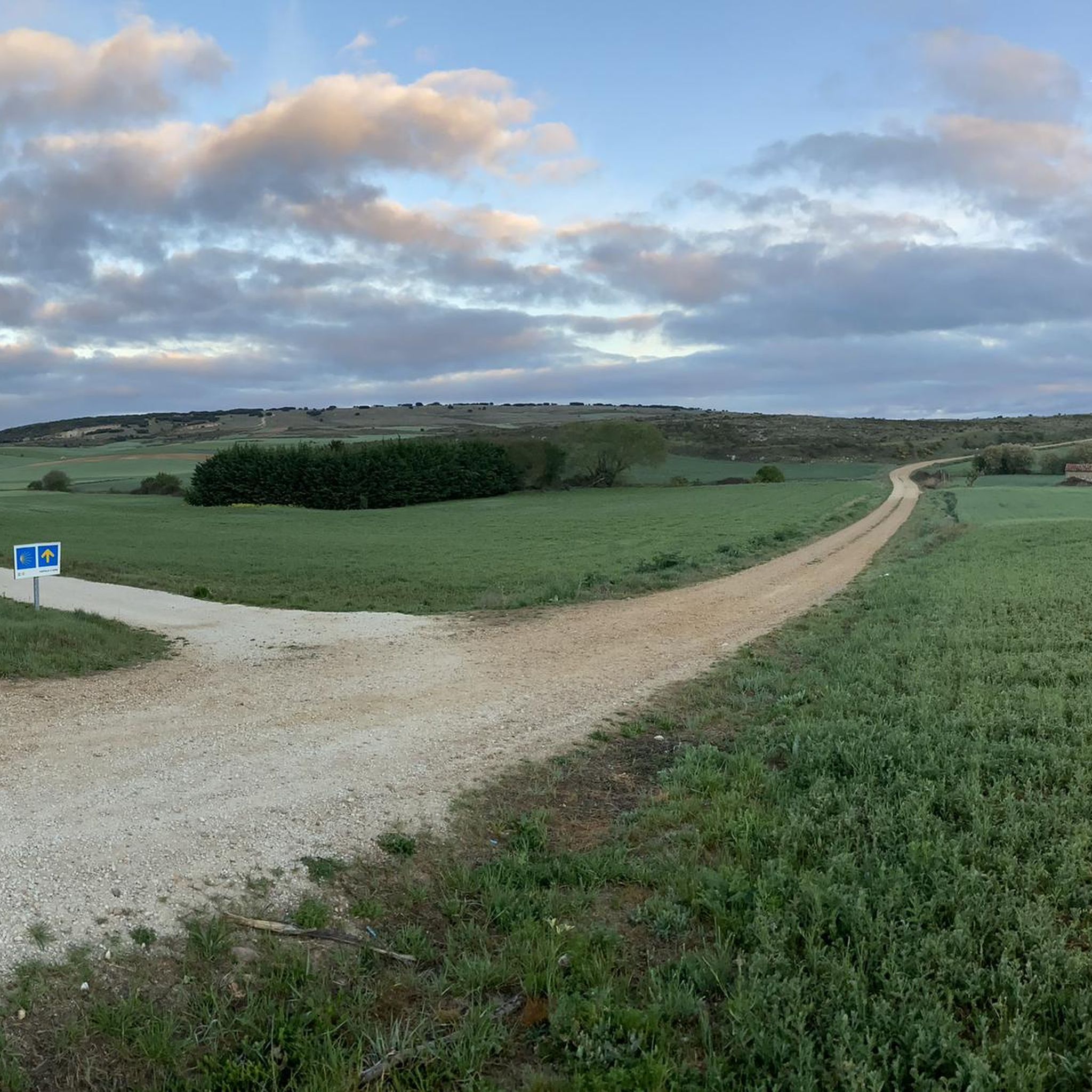
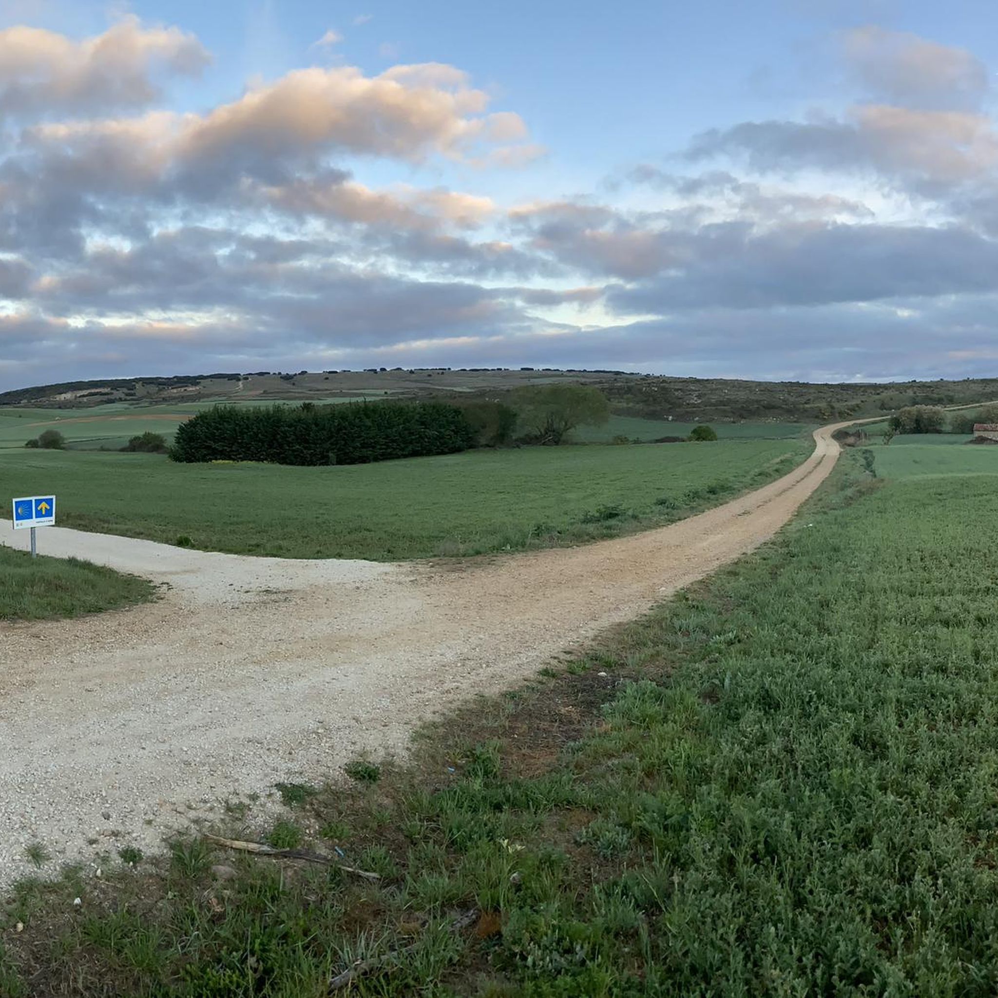
Crossing of the hill path with the path down to Tinieblas de la Sierra.
1
1

With this powerful name, the town has a fountain where we can supply ourselves.
0
0

From the top of Pico Mencilla, you can see Pico Trigaza and San Millan
1
0

Beautiful hermitage recently built, due to the special devotion to the Virgen del Camino that the inhabitants of Mecerreyes have.
1
0

The origin of Mecerreyes, is in all probability, etymologically Arabic origin (maza rais) which means meadow or field. Its inhabitants are known as guiletos, a name that comes from guilla (harvest).
0
0
Beautiful hermitage located at one end of the Sabinares de Arlanza - La Yecla Natural Park. It is restored and in a beautiful space to breathe!
0
0
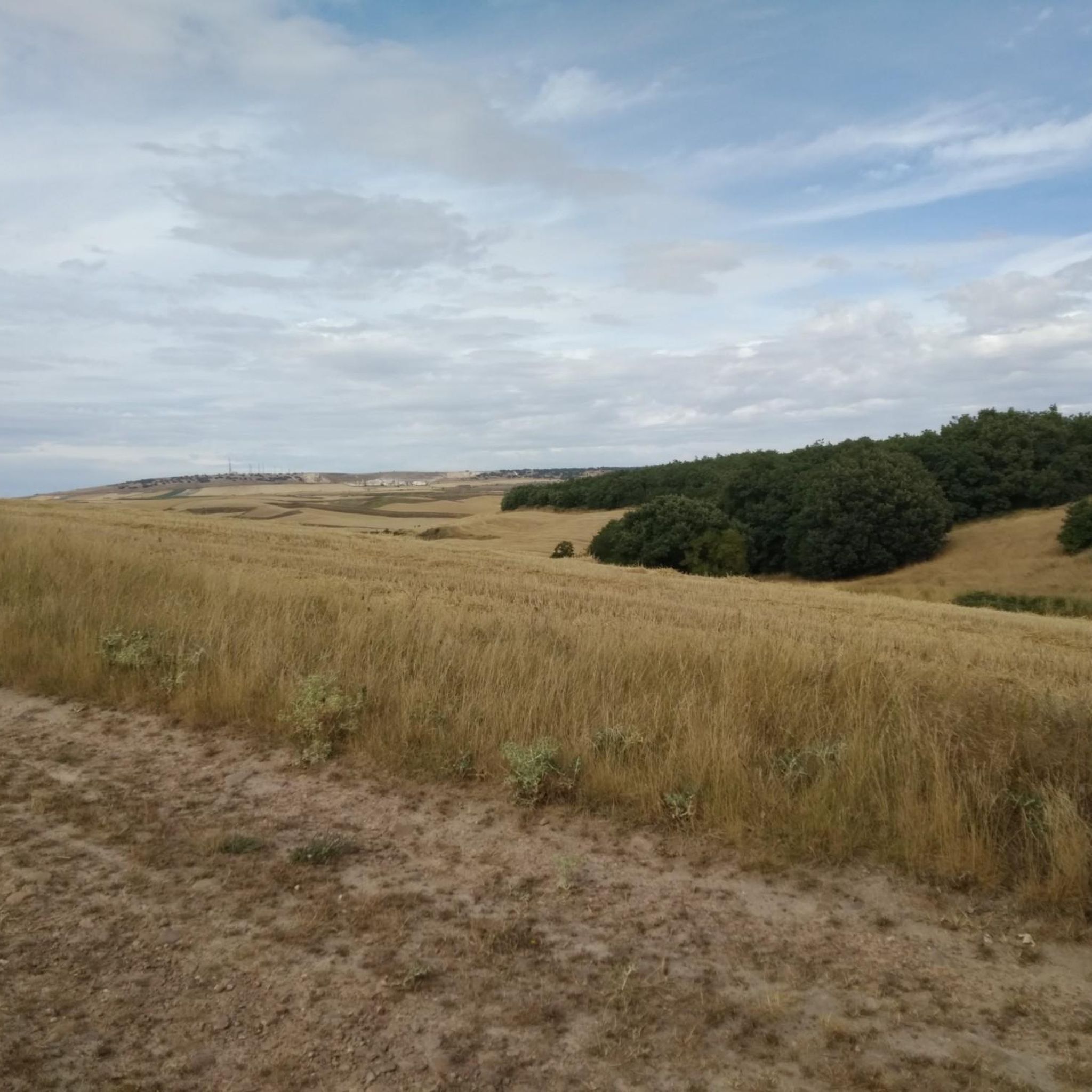
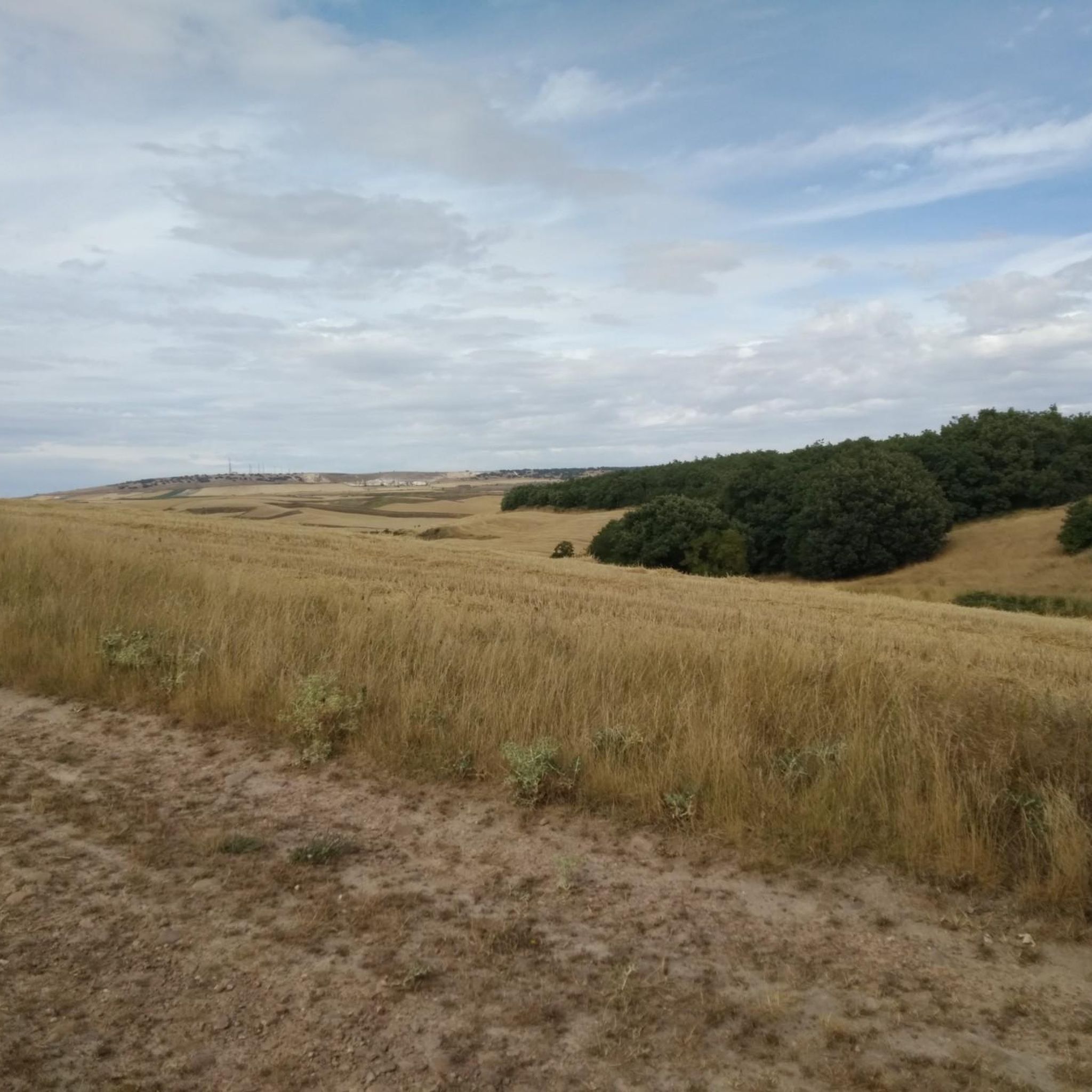
In this area of the Camino del Cid, surrounded by fields on one side and hills with forests on the other. Beautiful area to enjoy the scenery.
0
0
Frequently Asked Questions
What kind of terrain can I expect on the running routes around Revilla Del Campo?
The region offers a varied landscape, characterized by forests, natural paths, and significant elevation changes. You'll find routes that traverse through lush woodlands and encounter mountainous sections, providing dynamic and challenging experiences. The area's natural features also include river landscapes and ravines, adding to the scenic diversity.
Are there any easy or beginner-friendly jogging routes in Revilla Del Campo?
While the area is known for its moderate to difficult trails, the guide highlights routes with varying difficulty levels. For instance, the San Clemente - Mecerreyes Loop is classified as moderate, offering a good option for those looking for a less strenuous but still engaging run.
What are some of the longer or more challenging running trails in the area?
For experienced runners seeking a challenge, routes like the Alto de la Cerca – Villaneda loop from Villasur de Herreros, at 14.2 miles (22.8 km) with nearly 980 meters of elevation gain, or the Pico Mencilla loop from Urrez, which spans over 30 km with significant climbing, offer substantial tests of endurance through mountainous terrain.
Are there any circular running routes available near Revilla Del Campo?
Yes, several routes are designed as loops, allowing you to start and finish in the same location. Examples include the San Clemente - Mecerreyes Loop, the Alto de la Cerca – Villaneda loop from Villasur de Herreros, and the Alto de la Cerca – La Cerca loop from Urrez, all offering a convenient circular experience.
What kind of natural sights or landmarks can I expect to see while jogging?
While the primary draw is the natural beauty of the landscape itself, the broader region offers interesting sights. You might encounter features like the Carcedo Lagoons or the Cave of the Spring. The trails often provide forest views and opportunities to connect with the environment.
Are there any historical or cultural attractions near the running trails?
Yes, the area around Revilla Del Campo has some notable historical sites. You could visit the Monastery of San Pedro de Cardeña or see the Statue of El Cid in Mecerreyes. These offer a glimpse into the region's rich heritage.
What is the best time of year to go running in Revilla Del Campo?
The region's diverse natural features make it suitable for outdoor activities across various seasons. However, for the most comfortable experience, spring and autumn generally offer milder temperatures and vibrant scenery, ideal for tackling the varied terrain and elevation changes.
Are the running trails around Revilla Del Campo well-marked?
The region is known for its network of trails, and many are well-marked, catering to different experience levels. This helps runners navigate through the forests and natural paths with confidence, allowing them to focus on their run and the surrounding nature.
What do other runners enjoy most about jogging in Revilla Del Campo?
Runners frequently praise the varied terrain, which includes forest paths and challenging mountainous sections. The opportunity to immerse oneself in nature and experience significant elevation changes is often highlighted as a key draw. Over 100 runners have used komoot to explore these diverse routes.
Are there options for parking near the trailheads?
While specific parking details for every trailhead are not provided, the presence of numerous hiking and running trails in the area suggests that parking facilities are generally available near popular access points. It's advisable to check individual route descriptions for precise starting locations and parking information.
Can I find running routes that offer scenic viewpoints?
Given the mountainous terrain and significant elevation gains on many routes, such as the Alto de Crucejas – Torruco loop from Urrez, it is highly likely that you will encounter numerous scenic viewpoints offering expansive vistas of the surrounding landscapes, including forests and river valleys.
Most popular routes around Revilla Del Campo
Most popular attractions around Revilla Del Campo

Get inspired with the komoot mobile app


Explore more
Browse the best Running Trails & Routes in other regions.
