The best MTB trails around Paracuellos De La Ribera
4.6
(39)
1,715
riders
23
rides
Mountain biking around Paracuellos De La Ribera features a landscape characterized by rolling hills, river valleys, and scattered forested areas. The region offers varied terrain suitable for different skill levels, from moderate paths through agricultural lands to more challenging ascents in the Sierra de Victor. Mountain bike trails often traverse open countryside, providing expansive views and a mix of natural surfaces.
Best mountain bike trails around Paracuellos De La Ribera
- The most popular mountain bike trail is Pico del Rayo…
Last updated: July 2, 2026
2
riders
Hard mountain bike ride. Very good fitness required. Advanced riding skills necessary.
5.0
(1)
3
riders
41.9km
03:47
770m
770m
Moderate mountain bike ride. Good fitness required. Advanced riding skills necessary.

Sign up for free
9
riders
39.1km
04:06
1,110m
1,110m
Hard mountain bike ride. Very good fitness required. Advanced riding skills necessary.
5.0
(1)
6
riders
40.5km
04:45
1,420m
1,420m
Hard mountain bike ride. Very good fitness required. Suitable for all skill levels.
3
riders
37.0km
02:56
600m
600m
Moderate mountain bike ride. Good fitness required. Suitable for all skill levels.
Get access to more routes and recommendations from other explorers.
Sign up for free
Already have an account?
Our route recommendations are based on thousands of hikes, rides, and runs completed by other people on komoot.
Start today with a free account
Your next adventure awaits.
Login or Signup
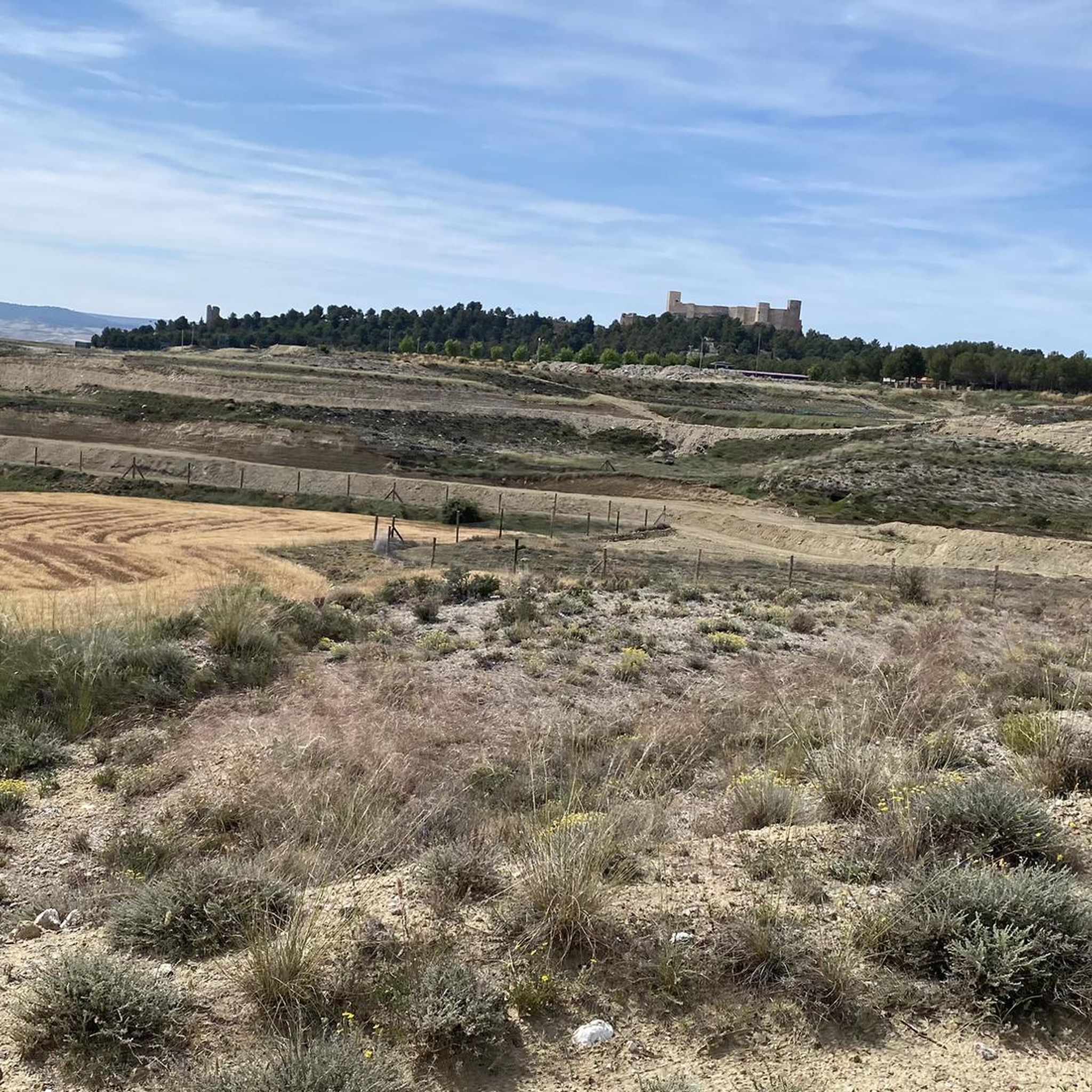
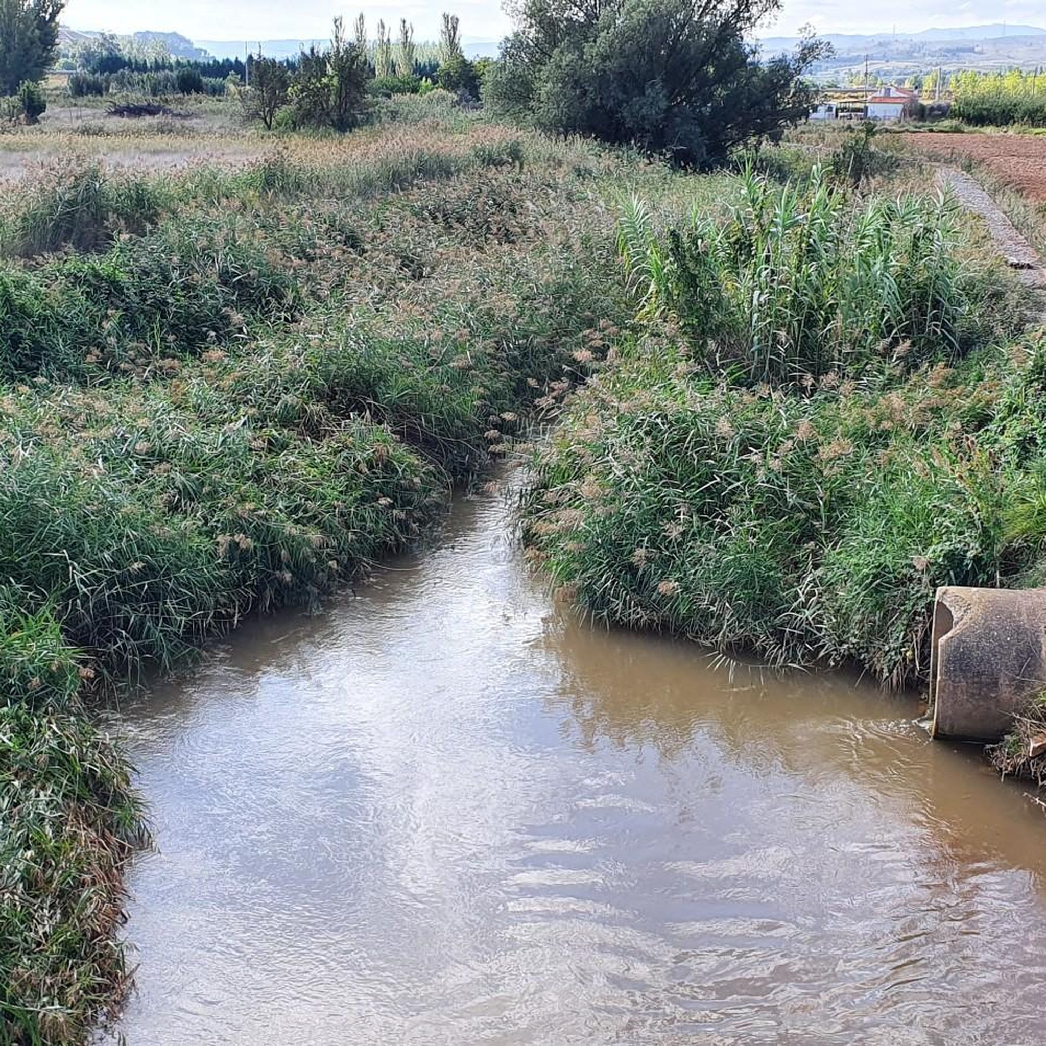
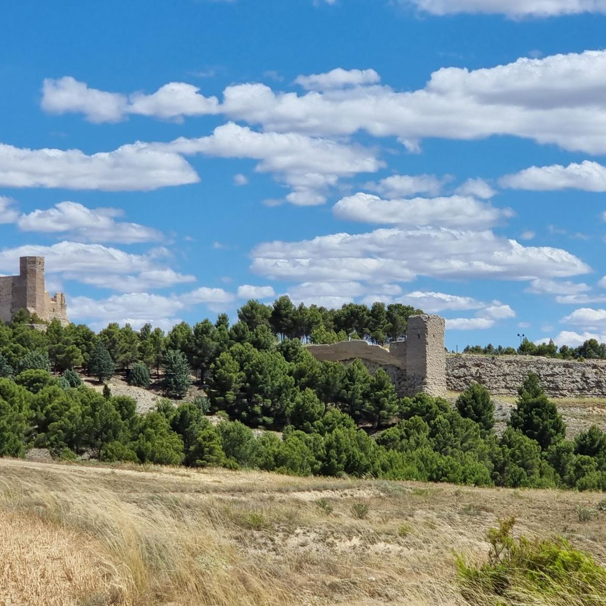


Tips from the Community

The Nigüella Fountain is one of the most prominent heritage sites in the municipality of Nigüella, located in the province of Zaragoza. It is considered a place of historical and traditional importance within the town. According to tourist guides about Nigüella, the fountain is mentioned as a point of notable interest, described as a "source of life and tradition for the locals." This indicates that it has been an important space in daily life, possibly as a water source and as a social gathering place.
2
0

There is also a fountain, but we found it without water. We had to continue down to the village.
0
0
Be careful with the fountain, when we passed by there wasn't even a drop coming out. So it's better not to depend on this point to refill water, as happened to us.
0
1
There is a roof to shelter you from the rain or if you need to spend a night.
0
1

It is the highest point for many kilometers in the surrounding area (next to Pico de la Nevera, which cannot be accessed because it is a military installation). In summer there are fire surveillance personnel because it is a place with impressive views.
0
0
Viver de Vicort is the access to many of the most important points of the Sierra de Vicort both to explore its northern and southern slopes. You can access Pico del Rayo by tracks that leave from this district. It is also the hill that you can pass through to make a route between the Grío valley and the Perejiles valley.
0
0

The Capurnos Bridge was built in the 17th century in order to join the towns of Morata de Jalón and Chodes by crossing the waters of the Jalón River.
1
0

Frequently Asked Questions
How many mountain bike trails are available in Paracuellos De La Ribera?
There are over 25 mountain bike trails in Paracuellos De La Ribera, offering a diverse range of routes for different skill levels. The komoot community has mapped 29 tours in total.
What is the general terrain like for mountain biking in Paracuellos De La Ribera?
The region features a landscape characterized by rolling hills, river valleys, and scattered forested areas. You'll find varied terrain, from moderate paths through agricultural lands to more challenging ascents in the Sierra de Victor, often with expansive views across the open countryside.
Are there mountain bike trails suitable for beginners or families in Paracuellos De La Ribera?
Yes, Paracuellos De La Ribera offers 3 easy mountain bike trails that are suitable for beginners or families looking for a less strenuous ride. These routes typically traverse gentler terrain, allowing for a more relaxed experience.
Which mountain bike trails offer a moderate challenge in Paracuellos De La Ribera?
For those seeking a moderate challenge, there are 18 moderate mountain bike trails available. A popular option is the Aranda Castles Loop, which is 26.0 miles (41.9 km) long and explores local historical sites and varied rural scenery.
Are there challenging mountain bike trails for advanced riders in Paracuellos De La Ribera?
Absolutely. Paracuellos De La Ribera has 8 difficult mountain bike trails for experienced riders. One such route is Refugio de Inogés – Viver de Vicort loop from El Frasno, a 40.5 km (25.2 miles) trail with significant elevation gain, often taking around 4 hours 45 minutes to complete.
What are some scenic viewpoints or landmarks I can see while mountain biking?
Many routes offer scenic views. The Pico del Rayo is a prominent summit offering panoramic vistas, and some trails pass by the Capurnos Bridge or through a Scenic Road Through a Gorge. The Pico del Rayo — circular por la Sierra de Victor desde el Parador de Calatayud route, for instance, offers significant elevation gain through the Sierra de Victor.
Are there any circular mountain bike routes in the area?
Yes, many of the mountain bike trails in Paracuellos De La Ribera are circular, allowing you to start and end at the same point. Examples include the Aranda Castles Loop and the Pico del Rayo – Refugio de Inogés loop from El Frasno.
What do other mountain bikers enjoy the most about mountain biking in Paracuellos De La Ribera?
The area is highly rated by the komoot community, with an average score of 4.6 stars from around 30 reviews. Mountain bikers often praise the varied terrain, from river valleys to forested sections, and the options available for all experience levels.
When is the best time of year to go mountain biking in Paracuellos De La Ribera?
Spring and autumn generally offer the most pleasant conditions for mountain biking in Paracuellos De La Ribera, with milder temperatures and less extreme weather. Summers can be very hot, making early mornings or late afternoons preferable, while winters are typically mild but can have occasional rain.
Are there any specific parking areas or trailheads for mountain biking?
While specific parking information varies by trail, many routes in the region, particularly those starting from villages like El Frasno or Morés, offer convenient access points and parking options within or near the town centers. It's always a good idea to check the tour details on komoot for specific starting points and parking recommendations.
What kind of natural features can I expect to encounter on the trails?
You can expect to ride through a mix of natural surfaces including dirt tracks, gravel paths, and some rocky sections, especially on more challenging routes. The trails often traverse open countryside, river valleys, and scattered forested areas, providing a diverse natural experience.
Most popular routes around Paracuellos De La Ribera
Most popular attractions around Paracuellos De La Ribera

Get inspired with the komoot mobile app


Explore more
Browse the best MTB trails in other regions.
