National Park Fuentes Carrionas y Fuente Cobre-Montaña Palentina
National Park Fuentes Carrionas y Fuente Cobre-Montaña Palentina
The best running trails around National Park Fuentes Carrionas y Fuente Cobre-Montaña Palentina
5.0
(4)
430
runners
29
runs
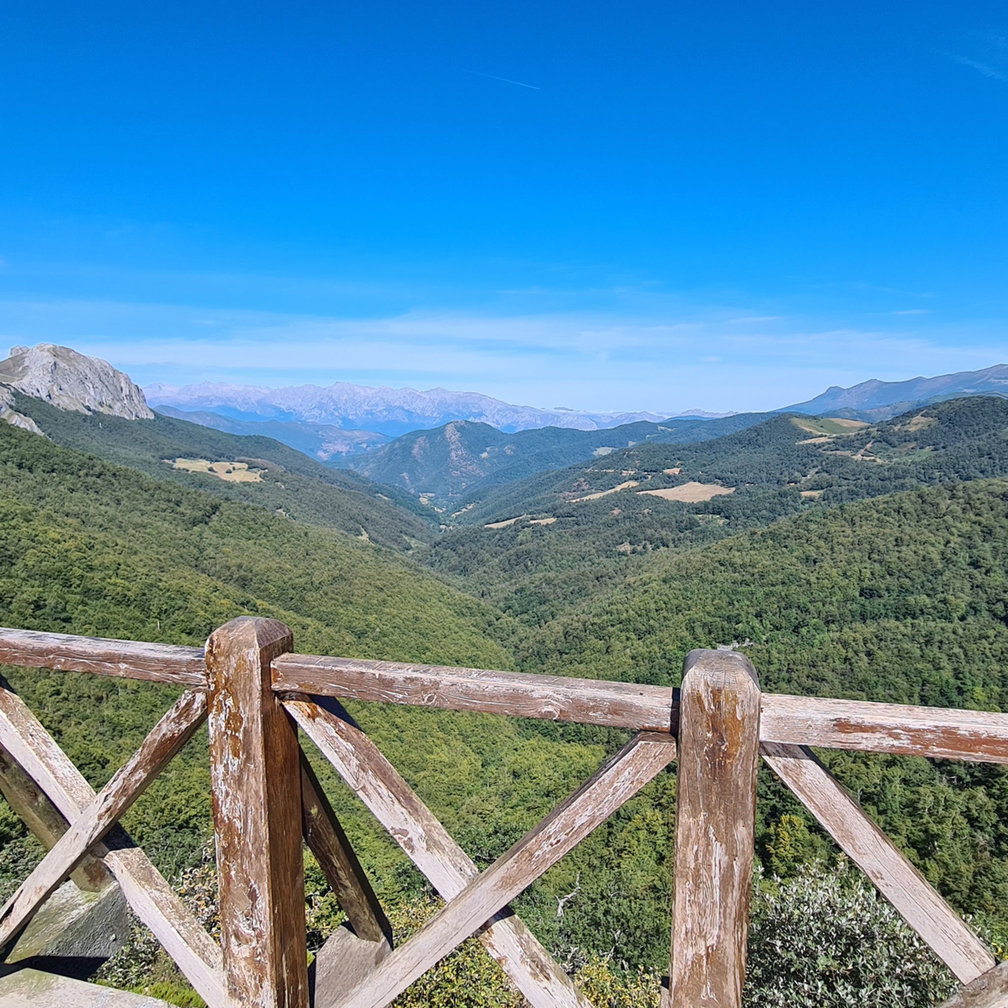
Jogging routes around National Park Fuentes Carrionas y Fuente Cobre-Montaña Palentina traverse a diverse and rugged natural landscape in northern Palencia, Spain. The region features an immense mountain range with peaks exceeding 2,500 meters, alongside glacial formations including cirques and lakes. River systems like the Carrión and Pisuerga create varied riparian environments, while extensive oak and beech forests cover lower elevations. This terrain offers a range of running experiences, from challenging mountain ascents to gentler valley trails.
Best jogging routes…
Last updated: November 6, 2026
49
runners
9.47km
03:23
1,060m
1,060m
Hard run. Very good fitness required. Sure-footedness, sturdy shoes and alpine experience required.
39
runners
10.3km
02:41
1,090m
1,090m
Hard run. Very good fitness required. Sure-footedness, sturdy shoes and alpine experience required.

15
runners
Hard run. Very good fitness required. Mostly runnable paths. Some sure-footedness required.
5
runners
Hard run. Very good fitness required. Sure-footedness, sturdy shoes and alpine experience required.
4
runners
Moderate run. Good fitness required. Mostly paved surfaces.
Get access to more routes and recommendations from other explorers.
Already have an account?
Our route recommendations are based on thousands of hikes, rides, and runs completed by other people on komoot.
Start today with a free account
Your next adventure awaits.
Popular around National Park Fuentes Carrionas y Fuente Cobre-Montaña Palentina
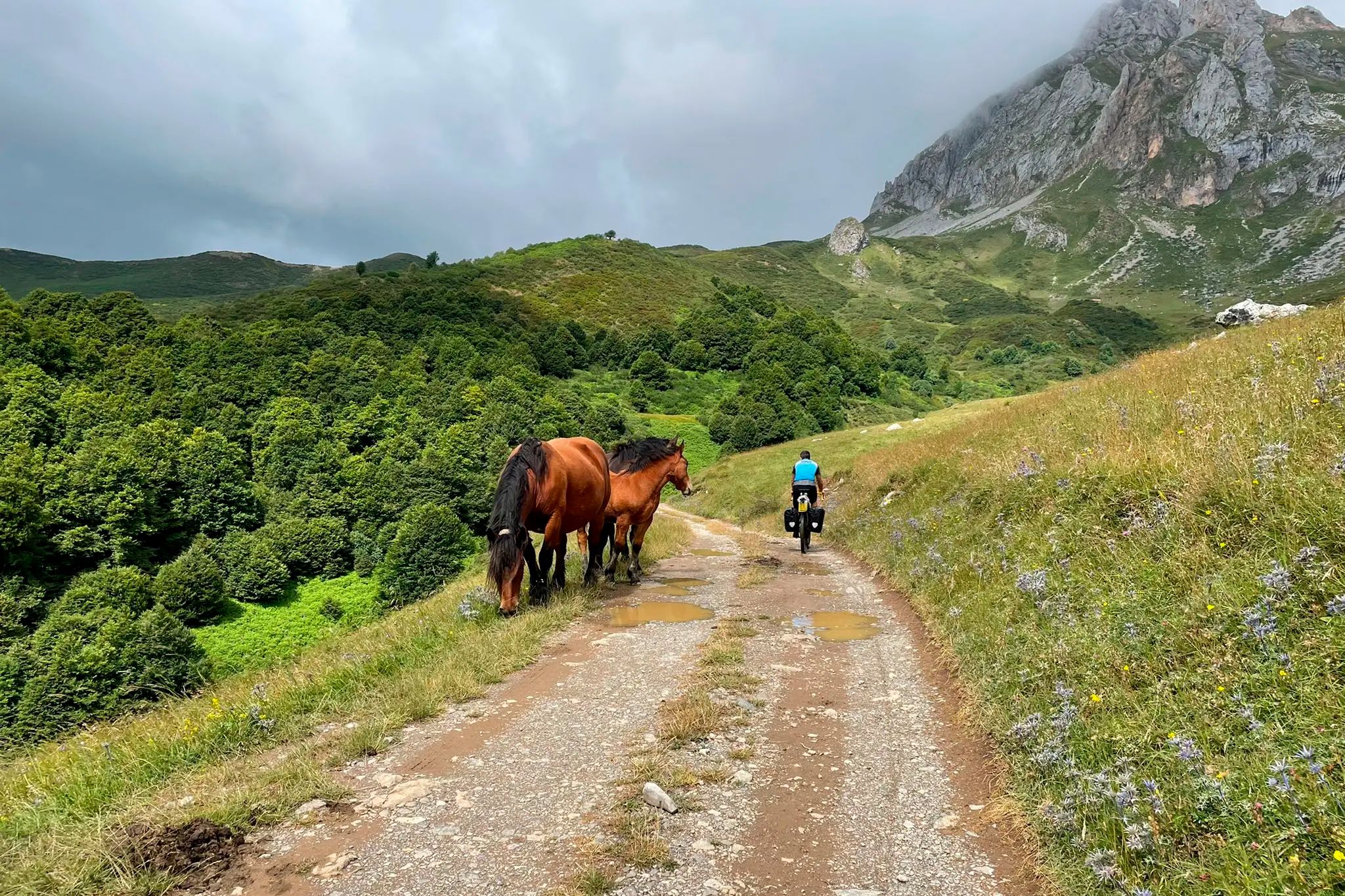
TransCantabrica – Extreme mountain biking in northern Spain
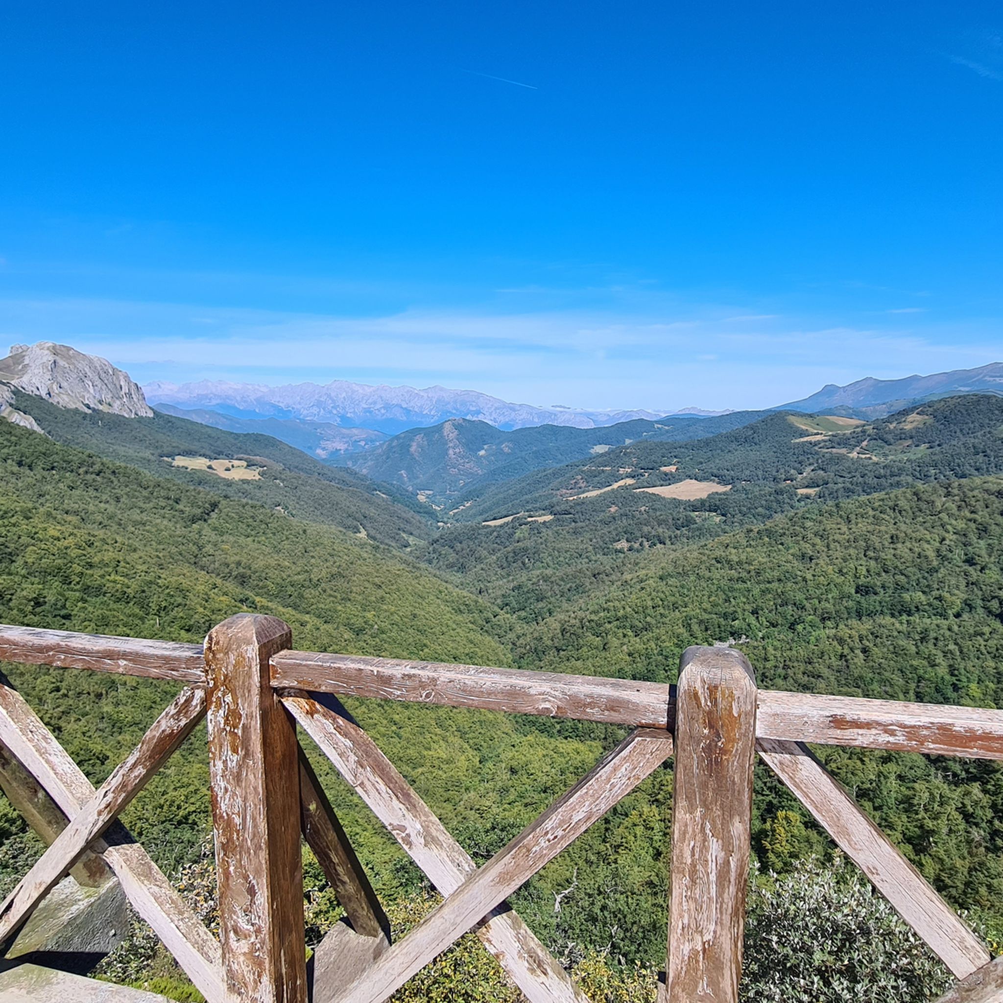
Hiking around National Park Fuentes Carrionas y Fuente Cobre-Montaña Palentina
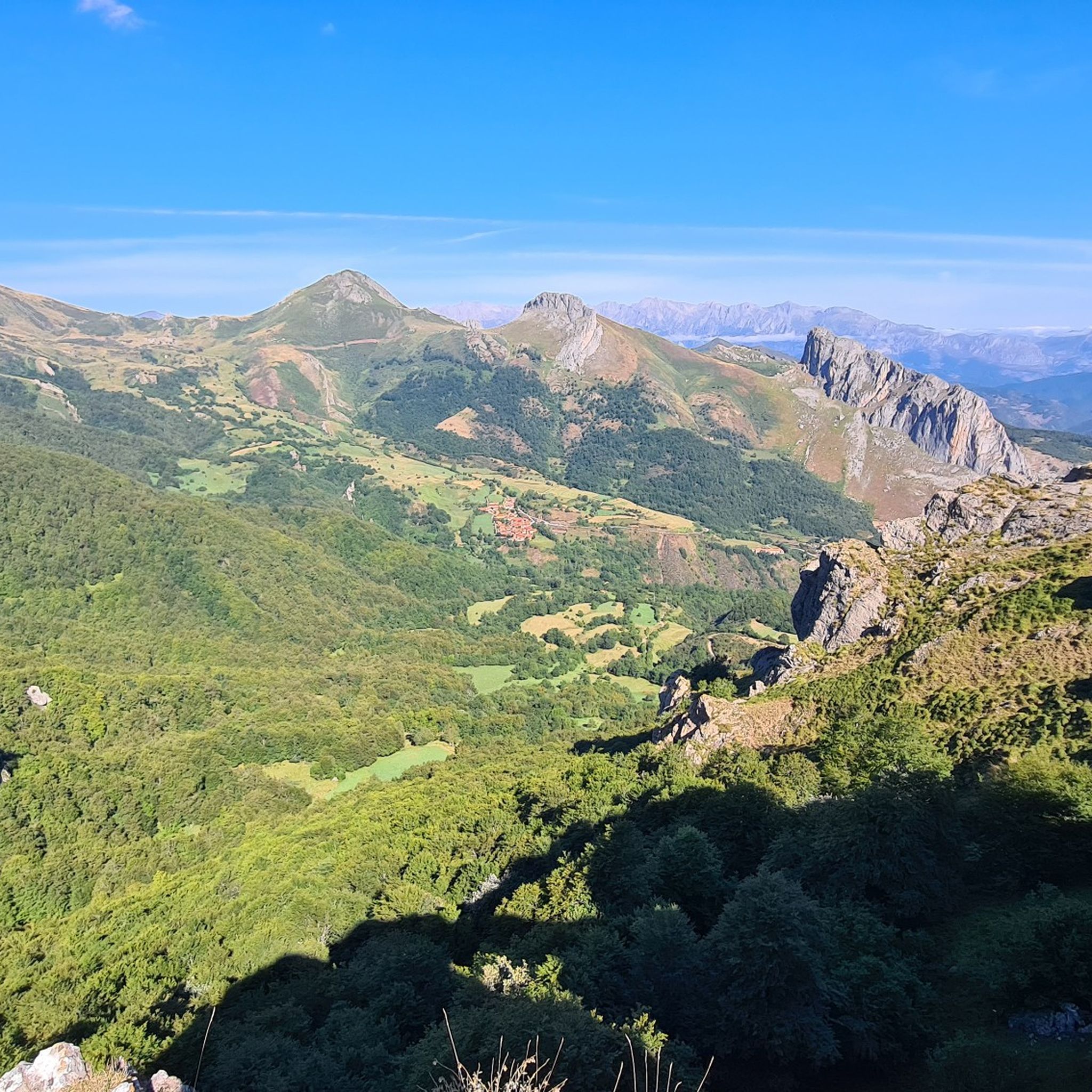
MTB Trails around National Park Fuentes Carrionas y Fuente Cobre-Montaña Palentina
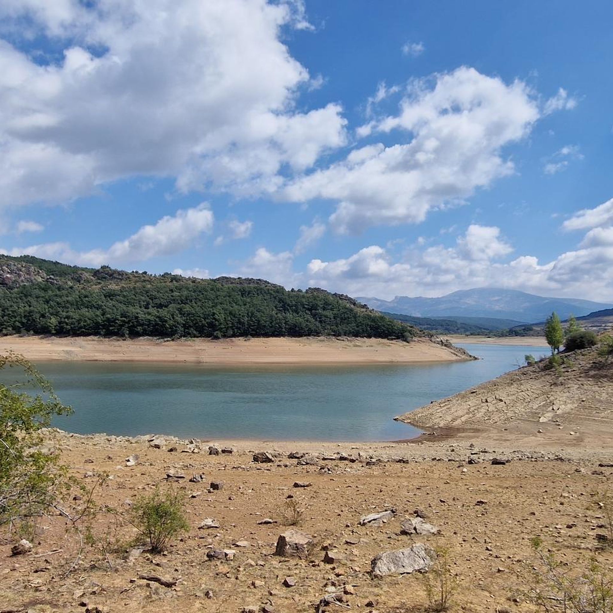
Cycling around National Park Fuentes Carrionas y Fuente Cobre-Montaña Palentina
Road Cycling Routes around National Park Fuentes Carrionas y Fuente Cobre-Montaña Palentina

Gravel biking around National Park Fuentes Carrionas y Fuente Cobre-Montaña Palentina
Other adventures around National Park Fuentes Carrionas y Fuente Cobre-Montaña Palentina

Tips from the Community

Beautiful glacial lake below the Agujas de Cardaño
0
0

Impressive oak tree over 600 years old, easy walk, well signposted and very pleasant.
0
0

The Mazobre Waterfall, located in the Palentina Mountains within the Fuentes Carrionas and Fuente Cobre Natural Park, is one of the most spectacular spots in the province of Palencia. It is located near Cardaño de Arriba, in the municipality of Velilla del Río Carrión.
2
0
Climbing Curavacas is an exciting experience for mountain lovers. There are several routes available, such as Callejo Grande and Senda del Notario, which offer different levels of difficulty. In addition, in the area you can find glacial lagoons, such as Pozo Curavacas and Pozos del Ves, which add a special touch to the landscape.
5
0

Spectacular to see it frozen and to be able to walk on it
0
0
The Pisuerga River rises in the province of Palencia, in the region of Castile and León, Spain. Its source is in the Covarrés glacial basin, between the Valdecebollas peak and the Sierra de Híjar, in a place known as Sel de la Fuente.
4
0

A beautiful waterfall that can be reached after a short and relatively easy hike. The cool water is wonderfully refreshing after a walk in the sun.
1
0

This is the perfect place to see the highest waterfall in the Palentina Mountain and the Palencia Natural Park. If you continue along the trail there is another small trail that takes you to the base of the falls. It's worth going off the trail just to check it out.
0
0
Frequently Asked Questions
How many jogging routes are available in National Park Fuentes Carrionas y Fuente Cobre-Montaña Palentina?
The park offers over 30 dedicated jogging routes, ranging from moderate forest paths to challenging mountain trails, catering to various fitness levels. You'll find options suitable for different experiences and endurance levels.
Are there challenging running routes for experienced joggers in Montaña Palentina?
Yes, the park is known for its strenuous mountain terrain. Routes like Espigüete by the EASTERN ridge and Mazobre waterfall (5.9 miles, 1056m elevation gain) and Curavacas from Vidrieros (6.4 miles, 1094m elevation gain) offer significant ascents and panoramic views for advanced runners.
Can I find easier or beginner-friendly running trails in the park?
While many routes are challenging, there are moderate options available. For instance, the Senda "El Roblón de Estalaya" is a moderate 2.8-mile circular trail with less elevation gain, offering a gentler experience through forested areas.
Are there any circular running routes in National Park Fuentes Carrionas y Fuente Cobre-Montaña Palentina?
Many of the park's running routes are circular, allowing you to start and end at the same point. Examples include the Nacimiento del río Pisuerga por la Senda de Fuente Cobre and the Peña Prieta y Peña del infierno por collado del Ves, both offering diverse landscapes on a loop.
What kind of natural features or landmarks can I expect to see while jogging in the park?
The park is rich in natural beauty. You can encounter impressive mountain peaks like Espigüete and Curavacas, glacial lakes such as Lago de las Lomas, and the sources of the Carrión and Pisuerga rivers. Many routes also pass through dense oak and beech forests. For stunning vistas, consider routes near viewpoints like Piedrasluengas Viewpoint or Alto de La Varga Viewpoint.
Are there any waterfalls along the running trails?
Yes, some routes incorporate waterfalls. The Espigüete by the EASTERN ridge and Mazobre waterfall route, for example, specifically highlights the Mazobre waterfall as a point of interest.
What is the best time of year to go running in Montaña Palentina?
The best time for running is generally spring and autumn when temperatures are milder and the landscapes are vibrant. Summer offers longer daylight hours but can be hot, especially at lower elevations. Winter running is possible but requires appropriate gear due to snow and colder conditions, particularly in the high mountains.
Is it possible to see wildlife while running in the park?
Yes, the park is a biodiversity hotspot. While jogging, you might spot deer, wild boar, roe deer, and chamois. It's also home to endangered species like the Cantabrian brown bear and capercaillie, though sightings of these are rarer. Golden eagles and griffon vultures can often be seen soaring overhead.
What do other runners enjoy most about jogging in National Park Fuentes Carrionas y Fuente Cobre-Montaña Palentina?
The area is highly rated by the komoot community, with an average score of 5.0 stars. Runners frequently praise the diverse and rugged natural beauty, the challenging mountain ascents, and the serene forest paths. The panoramic views from the peaks and the opportunities for wildlife spotting are also highly valued.
Are there any specific considerations for parking when accessing running routes?
While specific parking details vary by trailhead, many popular starting points for routes within the National Park Fuentes Carrionas y Fuente Cobre-Montaña Palentina offer designated parking areas. It's advisable to check the route details on komoot for information on parking availability near your chosen starting point.
Can I access the running trails using public transport?
Public transport options directly into the heart of the National Park Fuentes Carrionas y Fuente Cobre-Montaña Palentina are limited due to its remote, mountainous nature. Access is primarily by private vehicle. Some villages on the park's periphery may have bus connections, but reaching specific trailheads often requires further travel.
Are there any huts or shelters along the running routes for emergencies or breaks?
Yes, the park has several refuges and shelters. For example, you might find the Golobar Refuge or an Open shelter. These can provide a place to rest or take cover, especially on longer or more remote trails. Always check the specific route for available facilities.
Most popular routes around National Park Fuentes Carrionas y Fuente Cobre-Montaña Palentina
Most popular attractions around National Park Fuentes Carrionas y Fuente Cobre-Montaña Palentina

Get inspired with the komoot mobile app


Explore more
Browse the best Running Trails & Routes in other regions.
