The best road cycling routes around Nerpio
5.0
(1)
194
riders
10
rides
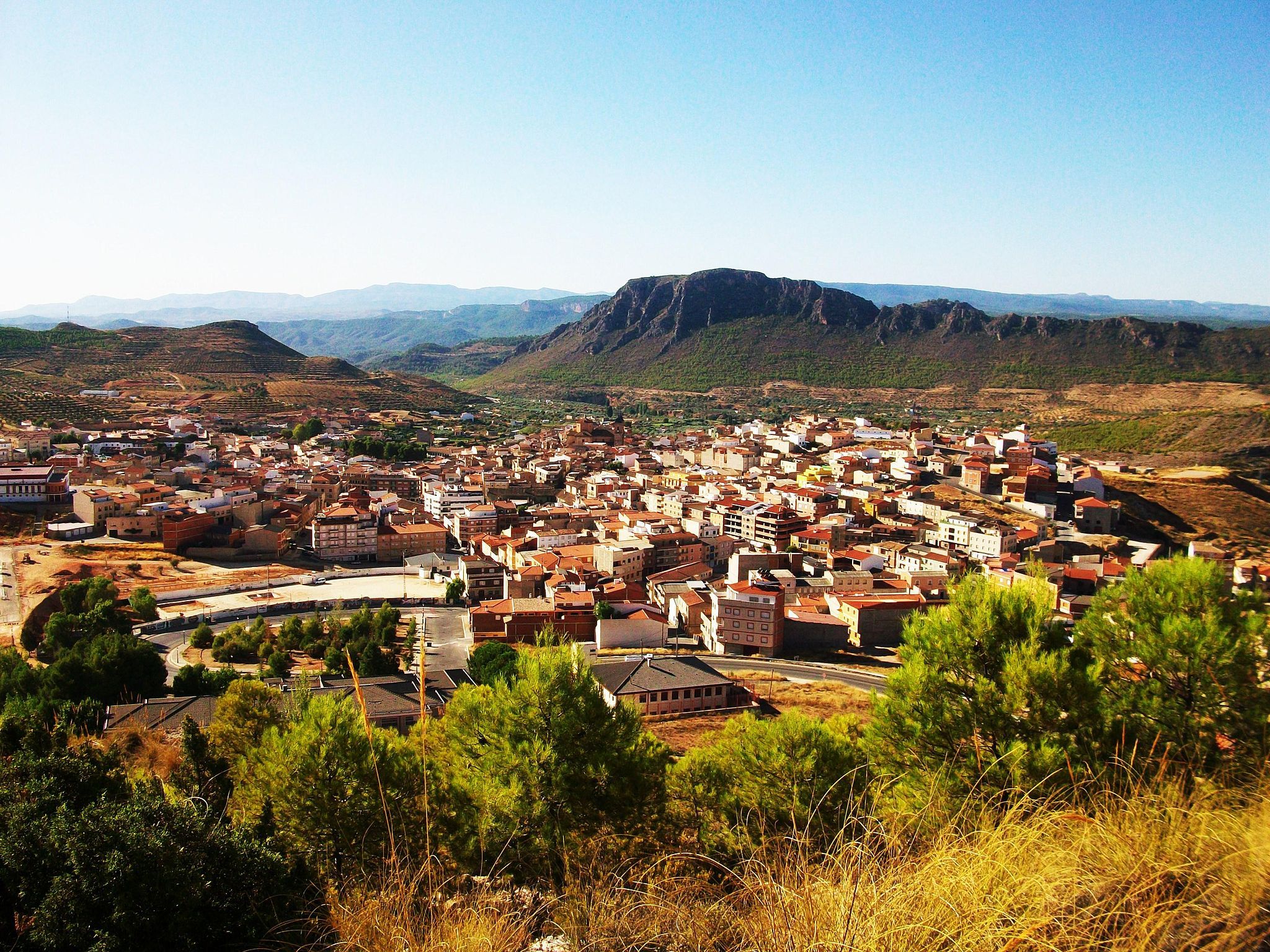
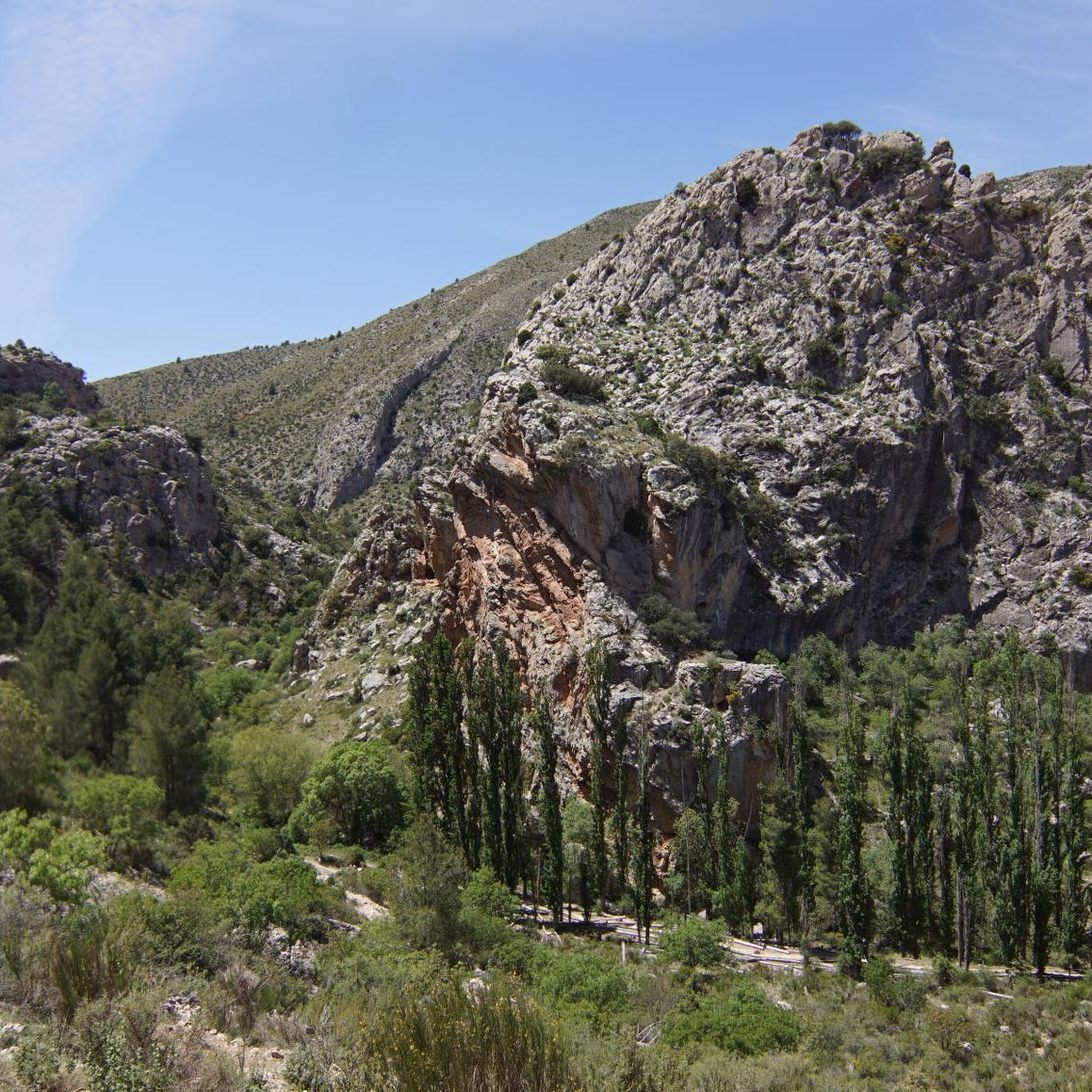
Road cycling routes around Nerpio traverse a landscape characterized by mountainous terrain, including the Sierra de la Graña, and numerous reservoirs such as Embalse del Anchuricas. The region features significant elevation changes, with routes often leading through river valleys and past historical landmarks. This area offers challenging road cycling experiences, with many routes featuring sustained climbs and descents.
Best road cycling routes around Nerpio
- The most popular road cycling route is Embalse del Anchuricas by the Mirador de La Novia…
Last updated: June 24, 2026
21
riders
57.1km
03:15
1,310m
1,310m
Hard road ride. Very good fitness required. Mostly well-paved surfaces and easy to ride.
2
riders
138km
07:41
2,740m
2,750m
Hard road ride. Very good fitness required. Mostly well-paved surfaces and easy to ride.

Sign up for free
13
riders
72.1km
03:49
1,320m
1,320m
Hard road ride. Very good fitness required. Mostly well-paved surfaces and easy to ride.
9
riders
57.8km
03:21
1,390m
1,390m
Hard road ride. Very good fitness required. Mostly well-paved surfaces and easy to ride.
12
riders
84.4km
04:41
1,830m
1,830m
Hard road ride. Very good fitness required. Mostly well-paved surfaces and easy to ride.
Get access to more routes and recommendations from other explorers.
Sign up for free
Already have an account?
Our route recommendations are based on thousands of hikes, rides, and runs completed by other people on komoot.
Start today with a free account
Your next adventure awaits.
Login or Signup
Other adventures around Nerpio

Tips from the Community

A spectacular climb, with many sections exceeding 10% and breathtaking views. It must be the most beautiful mountain pass in the entire province of Albacete.
0
0

The castle and the church are the centre of the landscape of Yeste. Even if it is only from the outside, it is worth taking a look.
1
0
It is the closest uphill cycling port to the route of the Segura River (I have done the downhill from Poyotello to Huelga Utrera, passing by the Cueva del Agua). Years ago it was not paved and that made it even more epic, it is 10 kilometres long and would surely be considered a first-class or special port. With asphalt, it continues to be beautiful and demanding, especially from km 6 to 9. If you do it uphill, save your strength for this section.
2
0
The bridge over the Fuensanta reservoir is beautiful, but what is even more beautiful is the road that goes up towards Yeste. With the saddlebags and a few extra kilos I take it easy.
2
0

The climb is very demanding but with incredible views below La Toba, a beautiful place and above the canyon, also spectacular.
3
0

Great viewpoint over Yeste, nearby mountain ranges and the Segura River. It has an informative sign. The views are stunning, but be careful as the terrain can be slippery
0
1
Bridge over the Segura River, with a very interesting and photogenic shape, also with great views of the Fuensanta reservoir. The bridge was built in 2007.
3
0

The river is the Zumeta, nestled in a spectacular canyon, where it meanders from Santiago de la Espada. Unique area associated with tranquility and personal enjoyment.
0
0
Frequently Asked Questions
Are there easy road cycling routes suitable for beginners in Nerpio?
Nerpio's road cycling routes are primarily characterized by mountainous terrain and significant elevation changes, making most of them challenging. While there are no routes specifically classified as 'easy' in the area, one route is considered 'moderate'. Cyclists should be prepared for sustained climbs and descents.
What are some of the longer road cycling routes available in Nerpio?
For those seeking longer distances, the Santiago de la Espada Loop from Nerpio is a difficult 86.0 miles (138.5 km) path that offers an extensive exploration of the region. Another option is the Views of the Tranco reservoir – Hornos de Segura loop from Pozas del Zumeta, which covers 52.5 miles (84.6 km).
Are there circular road cycling routes in Nerpio?
Yes, many of the routes in Nerpio are designed as loops. A popular circular option is Embalse del Anchuricas by the Mirador de La Novia — circular by the Sierra de la Graña, a 35.5 miles (57.1 km) route. Another is the Yeste Castle – Church of the Assumption loop from Camping Río Segura, covering 44.8 miles (72.1 km).
What kind of terrain can I expect on road cycling routes around Nerpio?
The region around Nerpio is characterized by mountainous terrain, including the Sierra de la Graña. You can expect significant elevation changes, with routes often leading through river valleys and past reservoirs like Embalse del Anchuricas. The routes feature sustained climbs and descents, offering a challenging experience.
What historical sites or landmarks can I see along the road cycling routes?
Several routes pass by historical sites. For example, the Yeste Castle – Church of the Assumption loop from Camping Río Segura leads through historical sites. You might also encounter landmarks such as Despiernacaballos Pass or the town of Nerpio itself.
Are there any viewpoints or scenic spots along the road cycling routes?
Yes, the mountainous landscape offers numerous scenic spots. The Embalse del Anchuricas by the Mirador de La Novia route offers views of the reservoir. You can also find viewpoints like Salto de la Novia Viewpoint, which provides expansive vistas of the surrounding nature.
What is the best time of year for road cycling in Nerpio?
Given the mountainous nature of Nerpio, spring and autumn generally offer the most pleasant conditions for road cycling, with milder temperatures. Summers can be hot, especially in the valleys, while winters can bring cold temperatures and potentially snow at higher elevations, making some routes more challenging or inaccessible.
How many road cycling routes are available around Nerpio?
There are 10 road cycling routes available around Nerpio, offering a variety of challenging experiences for cyclists.
What do other road cyclists enjoy the most about road cycling in Nerpio?
The area is highly rated by the komoot community, with an average score of 5.0 stars. Reviewers often praise the challenging mountainous terrain, the scenic views of reservoirs, and the opportunity to explore historical sites and river landscapes.
Are there any facilities like cafes or restaurants along the routes?
While specific cafes are not highlighted on every route, the region has small towns and villages where you can find amenities. For example, Noguera del Molino is a restaurant, and Hospedería Río Zumeta offers facilities that cyclists might find useful for a break or refreshment.
Is parking available near the road cycling routes in Nerpio?
Parking availability can vary depending on the specific starting point of each route. Generally, you can find parking in or near the main towns and villages, such as Nerpio itself or other settlements like Yeste, which serve as common starting points for many routes.
Most popular routes around Nerpio
Most popular attractions around Nerpio

Get inspired with the komoot mobile app


Explore more
Browse the best Road cycling routes in other regions.
