The best mountain hikes around Prullans
16
hikers
4
hikes
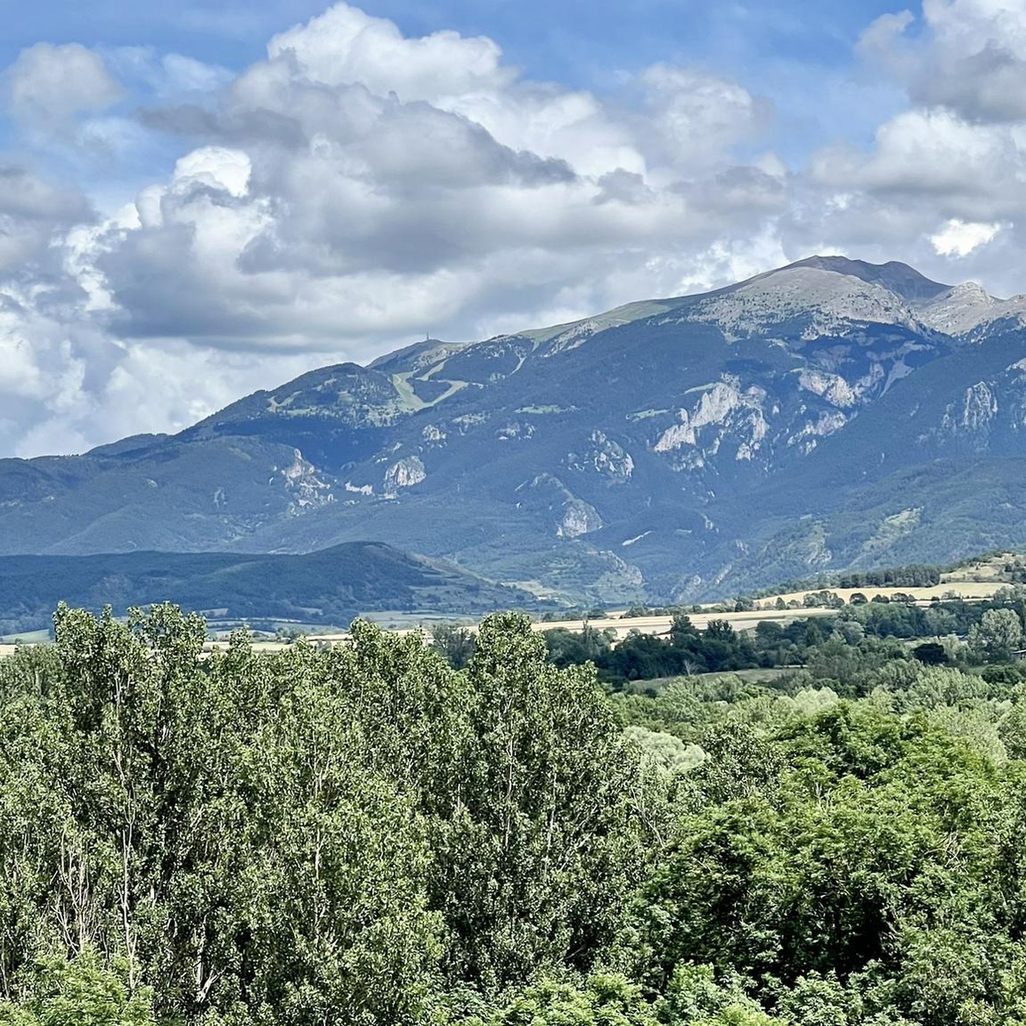
Mountaineering around Prullans offers a range of high-altitude routes within a mountainous landscape. The region features prominent peaks such as Tossa Plana de Lles, Puigpedrós, and COMABONA, alongside alpine lakes and valleys. These routes often involve significant elevation gain and traverse varied terrain, providing a true mountain experience.
Best mountaineering routes around Prullans
- The most popular mountaineering route is Tossa Plana de Lles – Tosseta de Vallcivera loop from Refugi del Cap del Rec, a 10.5 miles (16.9 km)…
Last updated: May 20, 2026
7
hikers
17.4km
07:10
1,130m
1,130m
Hard mountaineering route. Very good fitness required. Mostly accessible paths. Sure-footedness required.
4
hikers
10.6km
04:48
710m
710m
Moderate mountaineering route. Good fitness required. Mostly accessible paths. Sure-footedness required.

Sign up for free
4
hikers
Hard mountaineering route. Very good fitness required. Sure-footedness, sturdy shoes and alpine experience required.
1
hikers
7.98km
03:13
420m
420m
Moderate mountaineering route. Good fitness required. Mostly accessible paths. Sure-footedness required.
Our route recommendations are based on thousands of hikes, rides, and runs completed by other people on komoot.
Start today with a free account
Your next adventure awaits.
Login or Signup
Tips from the Community

A free mountain refuge nestled among black pine forests and high meadows, with sweeping views of the Segre Valley. It's a peaceful spot, ideal for sheltering from the wind or taking a break on routes that connect to Cap del Rec or Tossa Plana. The surroundings retain the pure silence of the upper Cerdanya region. By mountain bike, the final approach is via a stony track with a slight incline; it's advisable to lower the saddle and maintain control on the subsequent descent, as ruts and loose stones can be treacherous if you're riding too fast.
0
0
Located at an altitude of 1,960 meters, this refuge is a key point for cyclists and hikers heading towards the Tossa Plana de Lles or the Nordic ski slopes. The refuge combines a mountain atmosphere with comfortable amenities: a bar, a dining room, and a terrace with open views of the Cadí mountain range. It's a good place to stop, have a hot meal, or adjust your bike before continuing the climb. For mountain biking, the track from Lles has an uneven surface and rocky sections; tires with good grip are recommended, as is maintaining a constant cadence, especially on the final bends where the gradient is noticeable.
0
0

There is a circular route of approximately 6.7 km that will take you from the base of the ski resort to Lake Orri, passing through Pla de las Someres and the Pradell refuge. For much of the itinerary, you will follow the marked snowshoe trails of the Nordic ski resort of Lles de Cerdaña. In winter, it is ideal to start snowshoeing and enjoy the pine forests and high mountain meadows completely covered in snow.
8
0

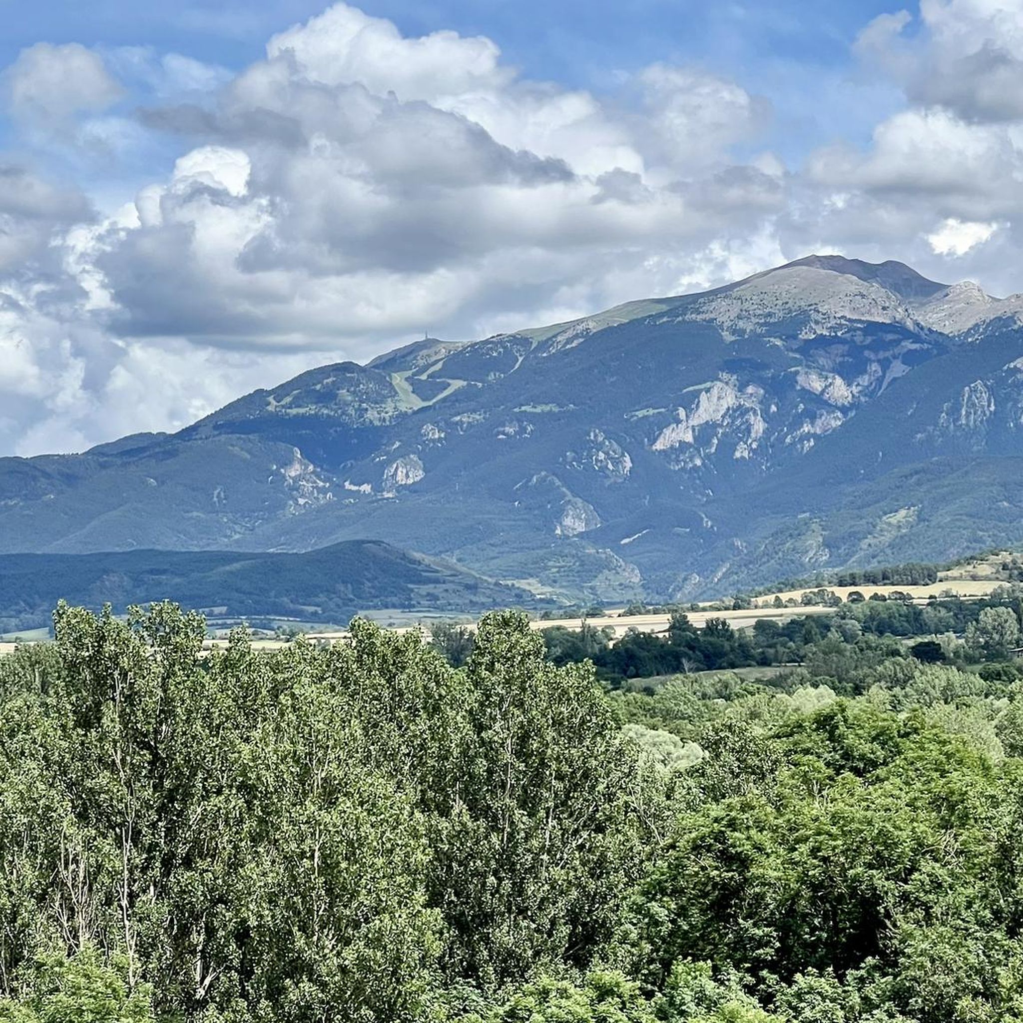
One of the essential climbs in Cerdaña. It is hard, long and beautiful. The views of Cadí, the valley and the mountains are spectacular from Travesseres. It is a MUST without a doubt!! There are 2 alternatives to get there, mainly 2: from Martinet, it is the most direct climb; from Prullans, along a quieter road with some rest sections
0
0

Pas dels Gosolans, where the people of Cerdanya used to pass with their flocks to reach Ripollès
0
0

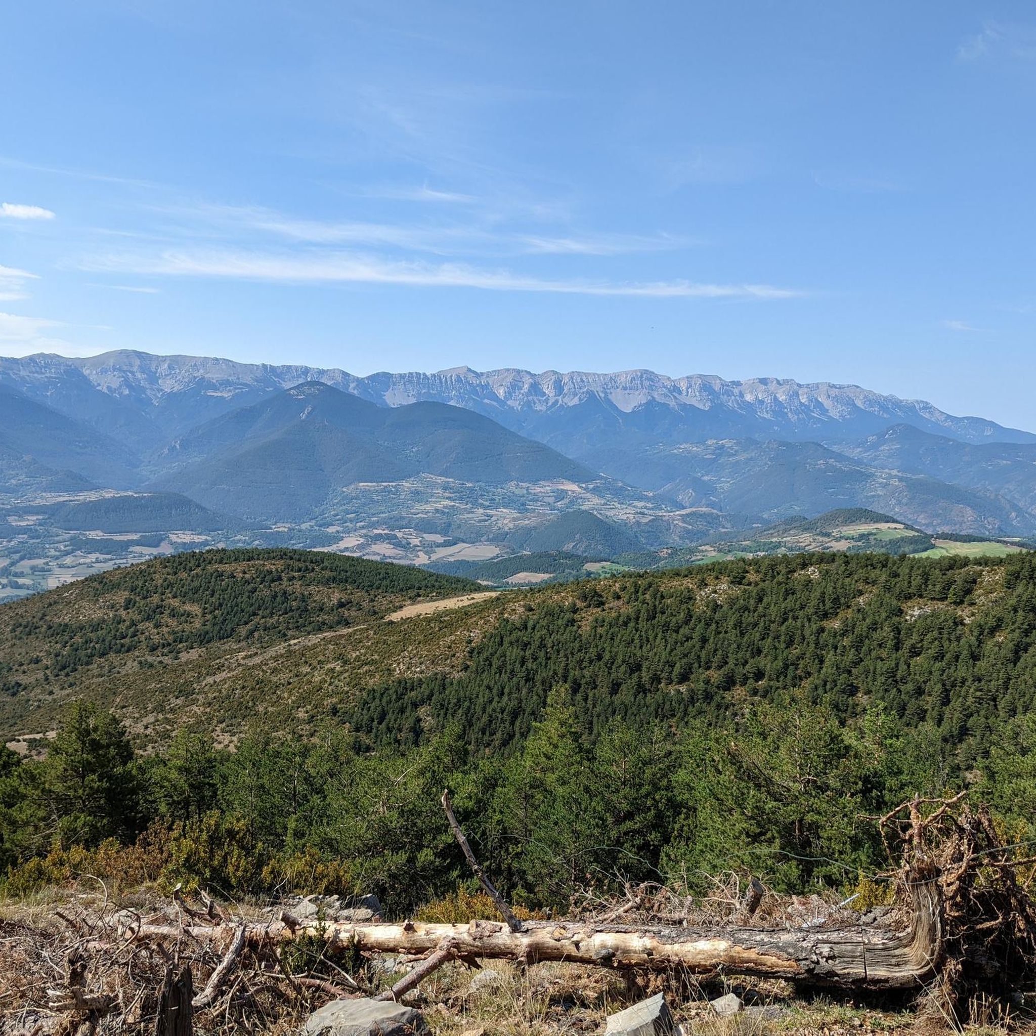
After about an hour's climb from Prat d'Aguilo you reach this pass with its incredibly beautiful, barren landscape.
0
0

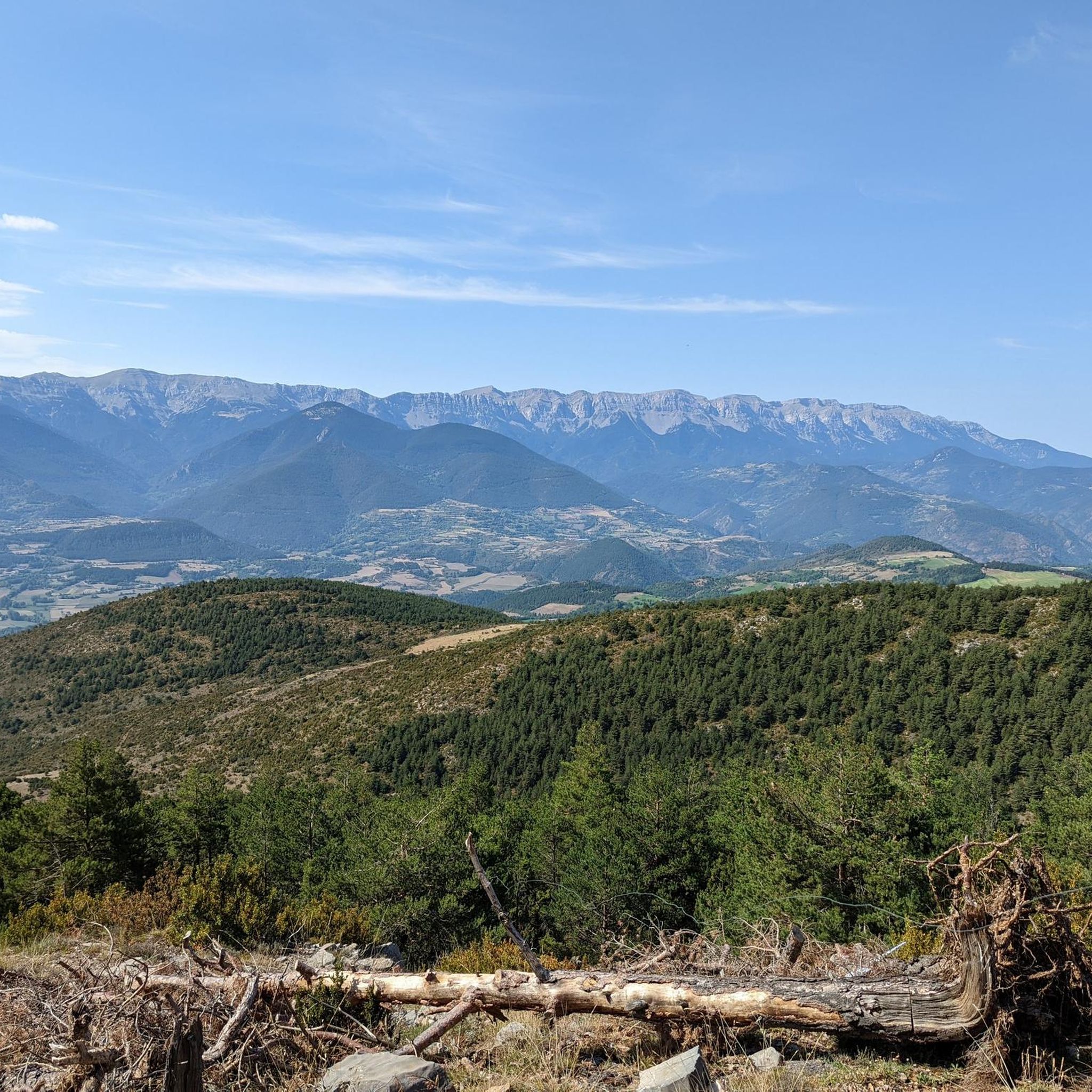
Comabona is one of the most outstanding peaks of the Cadí-Moixeró Natural Park. It is located at the eastern end of the massif, its south face belonging to the province of Barcelona (Berguedà region) and its north face to the province of Lleida, being able to see all of Cerdanya. On a sunny day its views are spectacular. Its ascent through the different slopes are not accessible if you do not have an acceptable physical shape because although some are short in distance, they offer a considerable unevenness for your ascent. The easiest way would be to drive up the track that starts from the Pedraforca car park until you reach Collell or Collet, and from here on foot up Serra Pedregossa
0
0
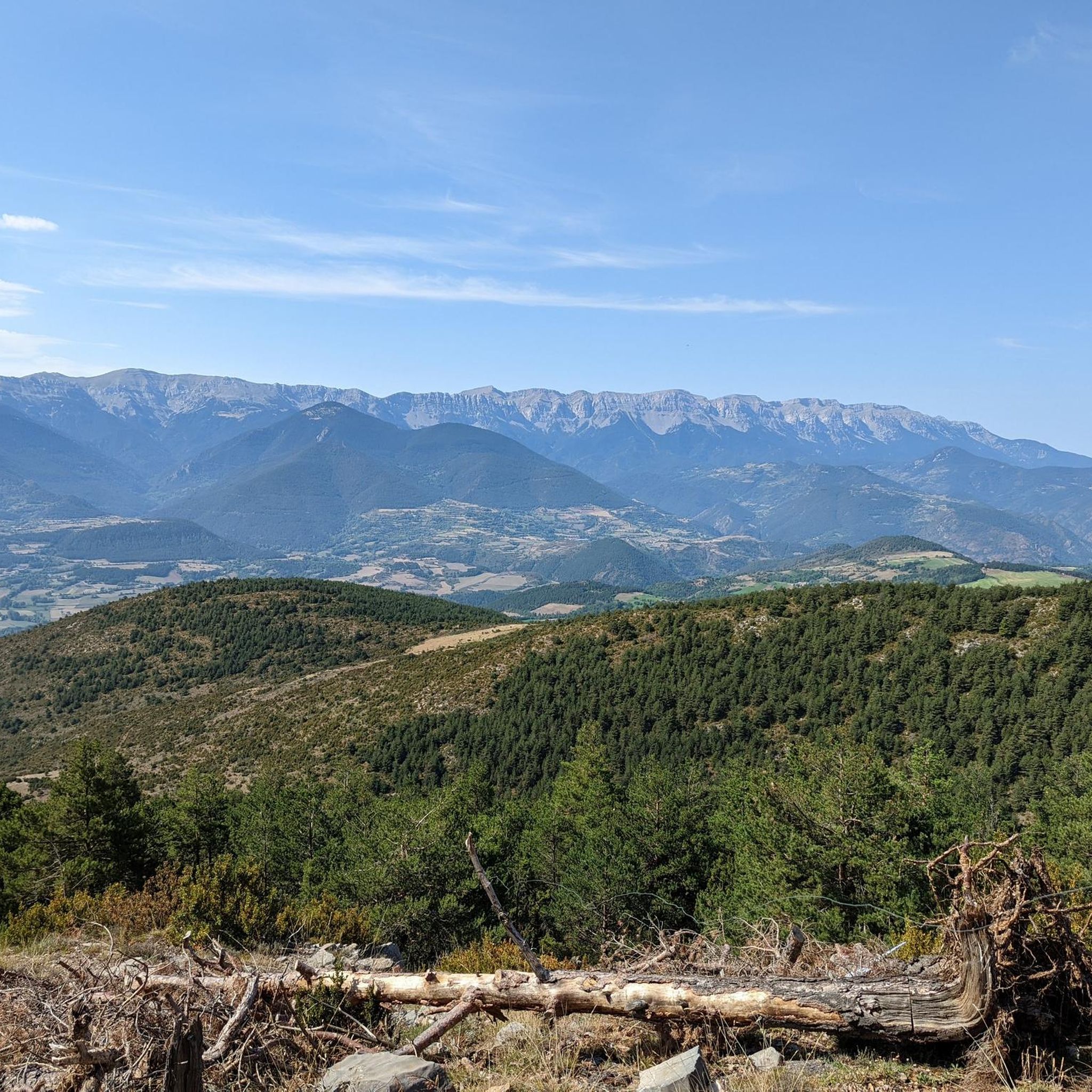
A spectacular summit but only advisable for people with a good physical condition since its route is long and the sections from the Muga lake to the top have a considerable difference in level over a short terrain. The views from the top are of the first order and spectacular.
0
0
Frequently Asked Questions
How many mountaineering routes are available around Prullans?
There are a handful of dedicated mountaineering routes around Prullans featured in this guide, offering diverse challenges and scenic views. The region is known for its high-altitude terrain and prominent peaks.
Are there any easy or beginner-friendly mountaineering routes in Prullans?
Mountaineering around Prullans is generally characterized by challenging ascents and high mountain environments. While there are no routes classified as 'easy' in this guide, you can find moderate options like the COMABONA loop from Refugi Prat d'Aguiló, which covers 10.6 km with over 700 meters of elevation gain, or the shorter Mountaineering loop from Refugi del Cap del Rec, which is 7.8 km long.
What kind of natural attractions can I see along the mountaineering routes?
The routes around Prullans offer stunning natural beauty. You can encounter high mountain lakes such as Orri Lake, Lake Malniu, and Estany Sec. Many routes also lead to impressive summits like Puigpedrós Summit and Tossa Plana de Lles, offering expansive views.
Are there circular mountaineering routes available?
Yes, many of the mountaineering routes around Prullans are designed as loops, allowing you to start and finish at the same point. Examples include the challenging Tossa Plana de Lles – Tosseta de Vallcivera loop from Refugi del Cap del Rec and the moderate COMABONA loop from Refugi Prat d'Aguiló.
What is the best time of year for mountaineering in Prullans?
The best time for mountaineering in Prullans is typically during the warmer months, from late spring to early autumn (June to September), when trails are generally free of snow and weather conditions are more stable. Always check local weather forecasts and trail conditions before heading out.
Are there any routes suitable for families with children?
Given the challenging nature of mountaineering in this region, with significant elevation gains and varied terrain, most routes are not typically recommended for young children or inexperienced families. The moderate Mountaineering loop from Refugi del Cap del Rec might be an option for families with older, experienced children, but careful consideration of fitness levels is essential.
Can I bring my dog on the mountaineering trails around Prullans?
Many trails in the Pyrenees, including those around Prullans, are generally dog-friendly, especially outside of protected areas where specific rules might apply. However, always keep your dog on a leash, especially in high mountain pastures where livestock may be present, and ensure they are fit enough for the strenuous terrain. Check local regulations for specific nature parks if applicable.
Are there any permits required for mountaineering in the Prullans area?
Generally, permits are not required for day mountaineering trips in the Prullans area, which is part of the Pyrenees. However, if you plan to enter specific protected natural parks or reserves, or if you intend to stay overnight in certain refuges, it's always advisable to check with the local park authorities for any specific regulations or booking requirements.
Where can I find parking for the trailheads?
Many of the mountaineering routes around Prullans start from mountain refuges, which often have designated parking areas. For example, routes like the Tossa Plana de Lles – Tosseta de Vallcivera loop begin from Refugi del Cap del Rec, which typically offers parking facilities. It's recommended to check the specific trailhead information for each route for detailed parking instructions.
What are the conditions like for winter mountaineering in Prullans?
Winter mountaineering in Prullans can be very demanding, with snow, ice, and rapidly changing weather conditions. Routes often require specialized equipment such as crampons, ice axes, and avalanche safety gear, as well as significant experience. It's crucial to consult local mountain guides and avalanche forecasts before attempting any winter ascents.
Are there any cafes or places to eat after a mountaineering trip near Prullans?
Prullans and nearby villages offer various options for refreshments and meals. Many of the routes start or pass by mountain refuges, such as Refugi del Cap del Rec or Refugi Prat d'Aguiló, which often provide food and drink. In Prullans itself, you'll find local establishments to relax and refuel after your hike.
What is the typical duration for mountaineering routes in this region?
The mountaineering routes around Prullans vary in length and difficulty. You can find routes that take around 3 to 5 hours, such as the Mountaineering loop from Refugi del Cap del Rec (approx. 3h 10m), up to more challenging full-day excursions like the Tossa Plana de Lles – Tosseta de Vallcivera loop, which can take nearly 7 hours.
What do other mountaineers say about the routes in Prullans?
Mountaineers who have explored the Prullans region often praise the stunning high-alpine scenery, the challenging ascents to prominent peaks, and the sense of wilderness. The routes are appreciated for offering a true mountain experience with rewarding panoramic views.
Most popular routes around Prullans
Most popular attractions around Prullans

Get inspired with the komoot mobile app


Explore more
Browse the best Mountain Hikes & Routes in other regions.
