The 8 Most Amazing Peaks around Prats I Sansor
Best mountain peaks around Prats I Sansor are found within the Cerdanya region of the Pyrenees, offering access to notable mountain peaks and high-altitude points. This area is known for its natural landscape and serves as a base for outdoor activities. The region's peaks are a significant draw for hikers and nature enthusiasts. Prats I Sansor provides a gateway to exploring these diverse high-altitude environments.
Best mountain peaks around Prats I Sansor
- The most popular mountain peaks is Penyes Altes…
Last updated: May 9, 2026
Niu de l'Àliga Refuge
Highlight • Mountain Hut
It is one of the eight shelters that make up the Cavalls del Vent …
Translated by Google •
Tip by

Penyes Altes del Moixeró
Highlight • Summit
Translated by Google •
Tip by

Sign up now to discover places like this
Get recommendations on the best single tracks, peaks, & plenty of other exciting outdoor places.
Sign up for free
Moixeró Summit
Highlight • Summit
Translated by Google •
Tip by

Coll de Jovell (1,521 m)
Highlight • Mountain Pass
Translated by Google •
Tip by
Roca Castellana
Highlight • Summit
Translated by Google •
Tip by

Sign up for free to discover even more peaks around Prats I Sansor.
Sign up for free
Already have an account?
Start today with a free account
Your next adventure awaits.
Login or Signup
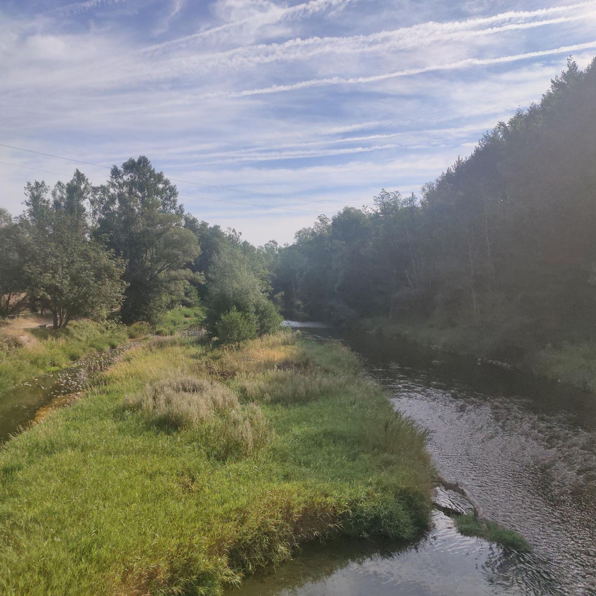
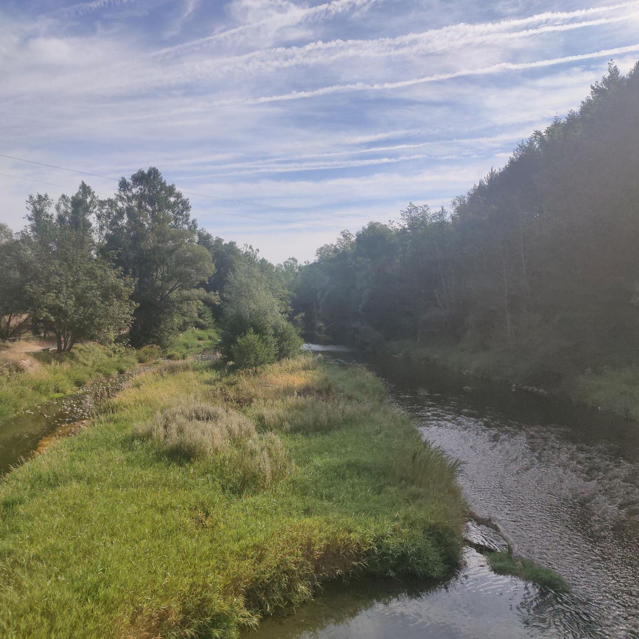
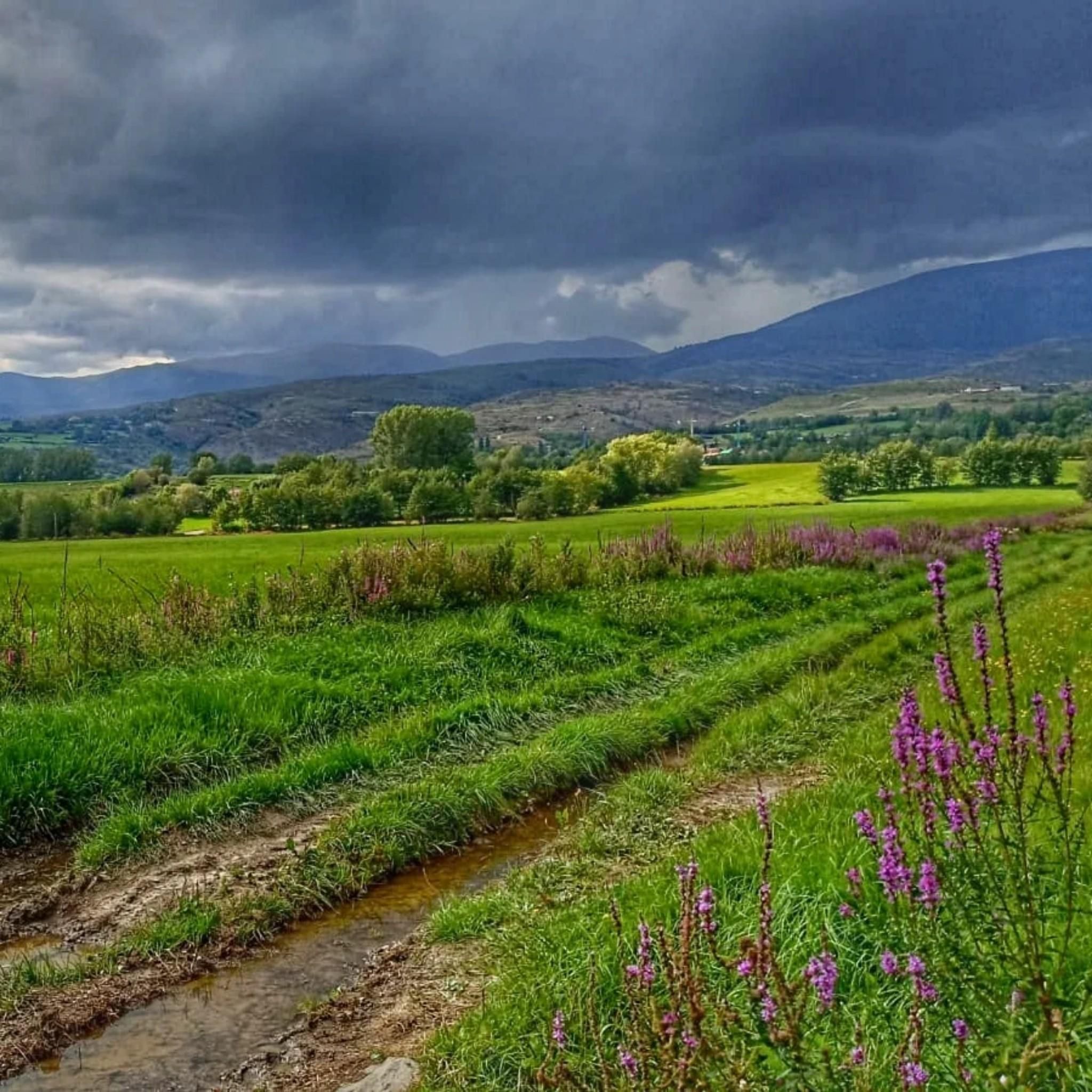
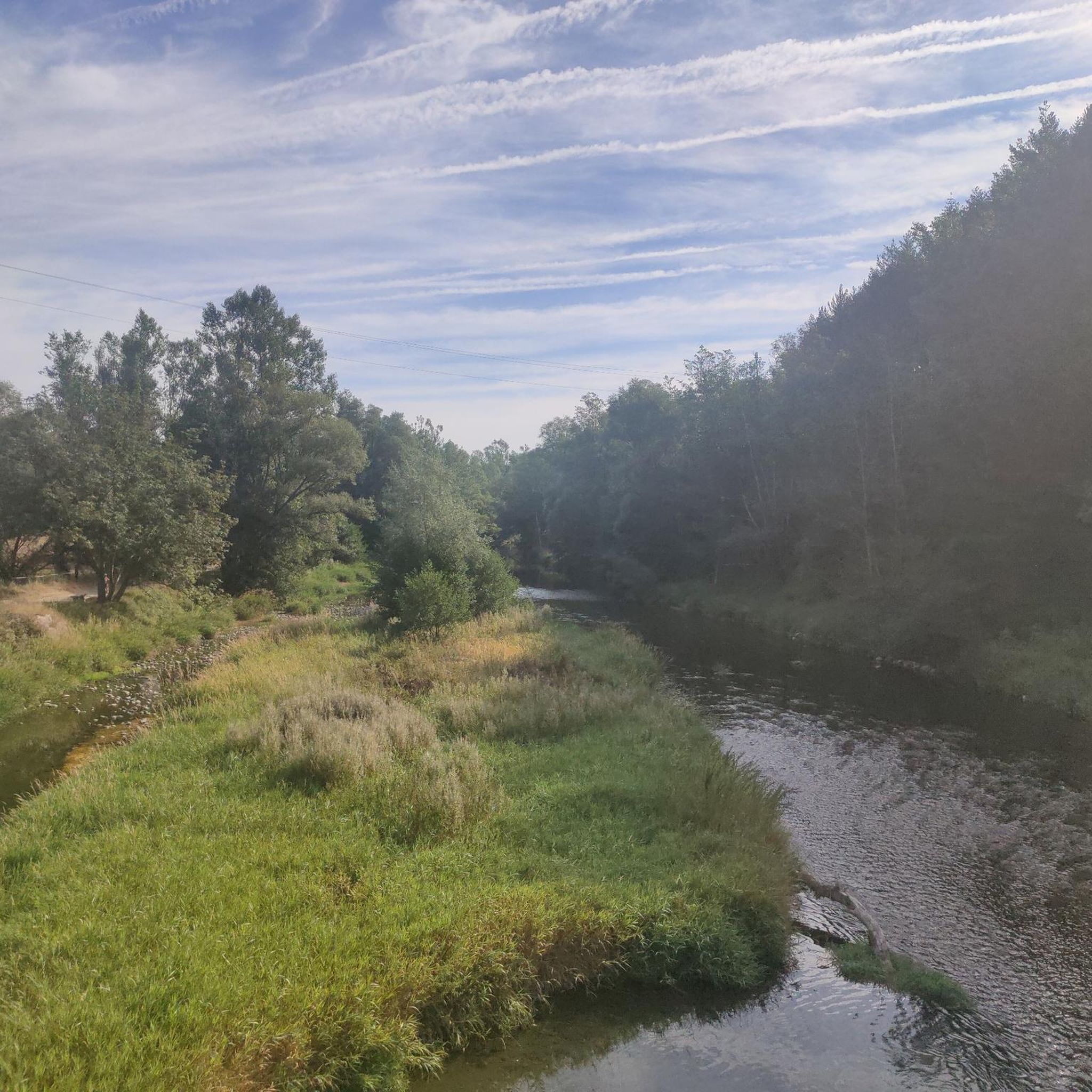
Tips from the Community

views of Tossa d'Alp, Pedraforca, Cadi and Serra Ensija
0
0

The Niu de l'Àliga Refuge is located at an altitude of 2,500 meters at the top of Tosa d'Alp, in the municipality of Bagà. This refuge is an iconic building at the highest point of the La Molina ski resort and offers spectacular views of the Cerdanya valley, Ripollès, and Berguedà. It is a privileged spot to enjoy sunsets and moonlit nights. The refuge has capacity for 27 people and offers services such as a cable car, blankets, showers, mobile charging, Wi-Fi, a bar, and a restaurant.
5
0

To see what the path to the top of Moixeró is like https://www.youtube.com/watch?v=PZT2ez0sMps
0
0


There are a couple of rope climbs just before the summit, but they are not difficult at all. My 20kg dog climbed them up and down without any problems.
0
0

Accommodation and catering options on the "Cavalls del Vent" tour. The building looks "sophisticated" from a distance, but it is a bit old and the hut itself is quite simple.
2
0

Demanding route, the first part is through the forest, on a rainy day it is very beautiful, but extreme caution must be taken. In the end we did not go up to La Tosa due to time and being a large group, we took a detour that is not marked, the end of the route is missing because it did not have a battery.
0
0
Frequently Asked Questions
What are some of the most popular mountain peaks and high-altitude spots near Prats i Sansor?
The region around Prats i Sansor offers several notable peaks and high-altitude points. Among the most popular are Penyes Altes del Moixeró, known for its extensive 360º panoramic views at 2,276 meters, and Niu de l'Àliga Refuge, an iconic high-mountain hut at 2,537 meters offering spectacular vistas. Another favorite is Moixeró Summit, providing a fantastic panoramic view of Cerdanya and Berguedà at 2,090 meters.
Which mountain peaks offer the best panoramic views in the Cerdanya region?
For breathtaking panoramic views, consider Puigpedrós, the highest peak in Catalan Cerdanya at 2,912 meters, offering expansive views from Canigó to Aneto on clear days. Penyes Altes del Moixeró also provides fantastic panoramic views of both the Cerdanya and Berguedà regions. Additionally, Niu de l'Àliga Refuge, located on La Tosa d'Alp, offers unbeatable views of the Cerdanya, Ripollès, and Berguedà valleys.
Are there challenging mountain climbs near Prats i Sansor?
Yes, for those seeking a challenge, the ascent to Puigpedrós (2,912 m) is a long but rewarding hike, typically taking 5 to 7 hours round trip with an elevation gain of approximately 800 meters. While not technically difficult, its length and elevation make it a significant undertaking. The main route to Penyes Altes del Moixeró also involves a substantial elevation gain of about 1377 meters over 14 kilometers, suitable for hikers with moderate experience and fitness.
What are some easier or beginner-friendly mountain routes around Prats i Sansor?
While many peaks offer rewarding views, Moixeró Summit (2,090 m) is noted for offering a fantastic panoramic view without technical difficulty, making it a good option for those seeking a less strenuous climb. The Niu de l'Àliga Refuge is also relatively accessible, even by telecabin from La Molina, allowing a wider range of visitors to enjoy its high-altitude views and facilities.
What kind of natural features and landmarks can I expect to see on these mountain peaks?
The peaks near Prats i Sansor are rich in natural beauty. Puigpedrós is characterized by its 'rocky mountain' terrain. Penyes Altes del Moixeró, within the Cadí-Moixeró Natural Park, features prominent limestone formations and a mix of limestone and lutite rock, contributing to an underground network of karst aquifers, caves, and chasms. The area around Puigpedrós also includes Malniu lake and the Engorgs lakes, offering beautiful natural extensions to hikes.
Are there any high-altitude refuges or facilities available on the mountains?
Yes, the Niu de l'Àliga Refuge (Eagle's Nest) is an iconic high-mountain hut located at 2,537 meters on La Tosa d'Alp. It is one of the highest guarded refuges in the Eastern Pyrenees and offers a cafeteria, restaurant, and overnight accommodation. It's also part of the 'Cavalls del Vent' route, an 80-kilometer trek.
What outdoor activities can I do near these mountain peaks?
The region offers a wide range of outdoor activities. Near the peaks, you can find extensive hiking opportunities, including long-distance paths like the GR-11. The area around Niu de l'Àliga Refuge is popular for skiing, snowshoeing, mountaineering, hiking, and mountain biking. For more specific routes, you can explore options like those found in the Hiking around Prats I Sansor guide, the Gravel biking around Prats I Sansor guide, or the Running Trails around Prats I Sansor guide.
Can I find circular hiking routes around the mountain peaks?
Yes, adventurous hikers can extend their excursion to Puigpedrós by incorporating a circular tour around Malniu lake or through the Engorgs lakes and the GR-11 long-distance path, offering varied scenery and a comprehensive experience of the high mountain environment.
What is the best time to visit the mountain peaks near Prats i Sansor?
The Cerdanya region is a year-round destination. While specific peak conditions vary, the area is known for both summer hiking and winter sports. The Niu de l'Àliga Refuge, for instance, is part of the La Molina ski station, making it a popular spot for skiing and snowshoeing in winter, and hiking and mountain biking during warmer months. Clear days are ideal for enjoying the extensive panoramic views from the summits.
What do visitors enjoy most about the mountain peaks around Prats i Sansor?
Visitors consistently praise the spectacular and extensive panoramic views from the summits, such as those from Penyes Altes del Moixeró and Moixeró Summit. The high-altitude experience and the facilities at Niu de l'Àliga Refuge, including its bar and restaurant, are also highly appreciated. The natural beauty and the rewarding challenge of the ascents are frequently highlighted by the komoot community.
Are there any historical or cultural aspects associated with these mountain peaks?
Yes, Penyes Altes del Moixeró, for example, sits at the convergence of the Cerdanya and Berguedà counties, and its ridge has historically served as a natural watershed boundary, influencing the development of settlements in the area. For Catalan mountain climbers, reaching this summit holds significance as it's a registered peak on a prestigious list maintained by the regional climbing federation.
What is Puigpedrós and what makes it a significant peak?
Puigpedrós, also known as Puig de Campcardós, is the highest peak in Catalan Cerdanya, reaching an elevation of 2,912 meters. Its name, meaning 'rocky mountain,' accurately describes its terrain. It's significant for its challenging yet non-technical ascent and for offering a privileged viewpoint with expansive views that can stretch from Canigó to Aneto on clear days.
Most popular routes around Prats I Sansor
Most popular attractions around Prats I Sansor

Get inspired with the komoot mobile app


Explore more
See even more amazing summits around Prats I Sansor with these guides:
