The best walks and hikes around Trigueros
4.0
(8)
49
hikers
21
hikes
Hiking around Trigueros offers access to diverse natural features and historical attractions within the Huelva province of Spain. The region is characterized by varied landscapes, including accessible paths through the Andalusian countryside, and is notable for its significant megalithic monuments. Trails often traverse areas with diverse ecosystems, providing a range of experiences for outdoor enthusiasts.
Best hiking trails around Trigueros
- The most popular hiking route is Fog - circular tour to the walled city, a 4.2 miles (6.8 km)…
Last updated: August 23, 2026
2.3
(3)
6
hikers
6.84km
01:49
60m
70m
Easy hike. Great for any fitness level. Easily-accessible paths. Suitable for all skill levels.
2
hikers
17.4km
04:31
110m
110m
Hike a moderate 10.8-mile (17.4 km) circular route from Niebla, exploring the lands of Niebla and the ancient Dolmen de Soto.

Sign up for free
2
hikers
21.5km
05:38
170m
170m
Hard hike. Very good fitness required. Easily-accessible paths. Suitable for all skill levels.
19.2km
04:58
110m
110m
Moderate hike. Good fitness required. Easily-accessible paths. Suitable for all skill levels.
7
hikers
5.14km
01:20
30m
30m
Easy hike. Great for any fitness level. Easily-accessible paths. Suitable for all skill levels.
Get access to more routes and recommendations from other explorers.
Sign up for free
Already have an account?
Our route recommendations are based on thousands of hikes, rides, and runs completed by other people on komoot.
Start today with a free account
Your next adventure awaits.
Login or Signup
Tips from the Community

From the port of Palos de la Frontera, Columbus set sail to change world history. This town is full of history, architecture, and gastronomy. It is well worth a visit.
0
0

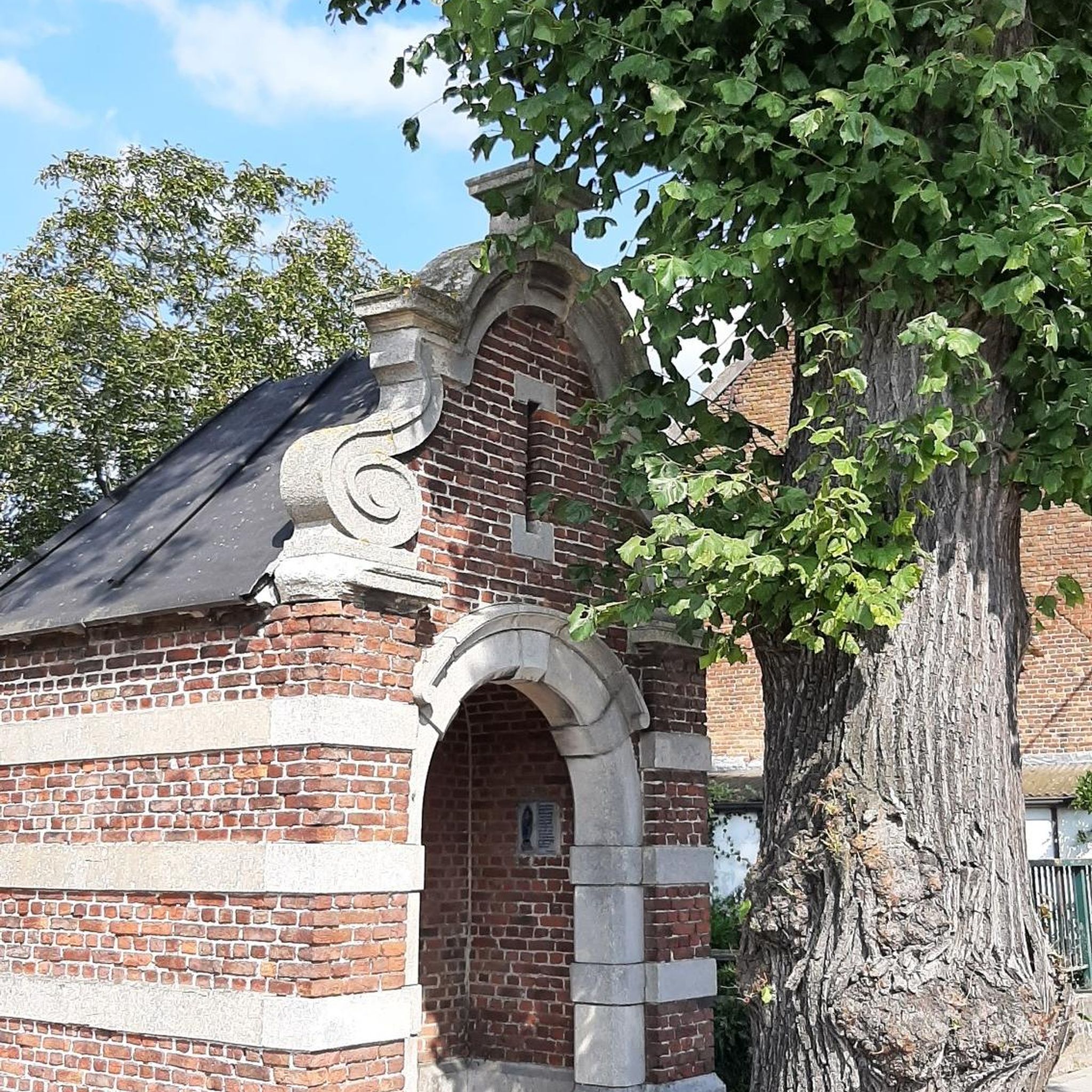
Its size is surprising, as it resembles a cathedral more than a traditional church. It was built in the 18th century on the site of a former 14th-century Mudejar-style parish church.
11
0

Top here is an old Roman bridge
1
0

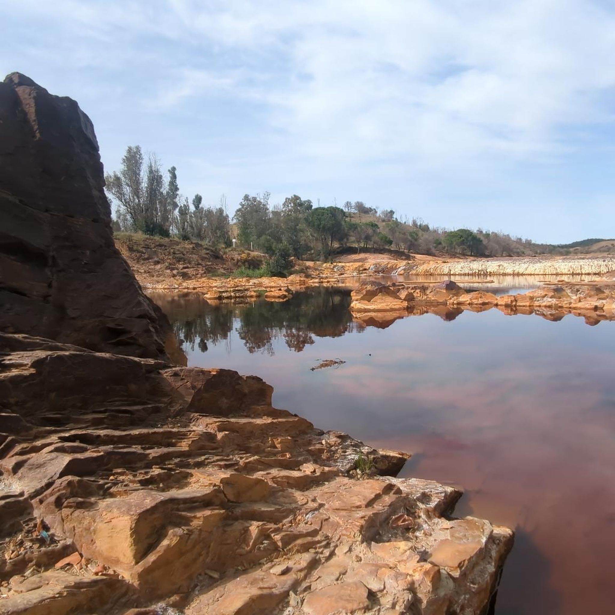
The current appearance of the castillo dates back to the 15th century. Inside is the weapons yard. Steps and stairs lead up to the fortress walls. From here you can enjoy a beautiful panoramic view (apart from the ugly cement factory) of the town, the surrounding area and the Río Tinto.
1
0
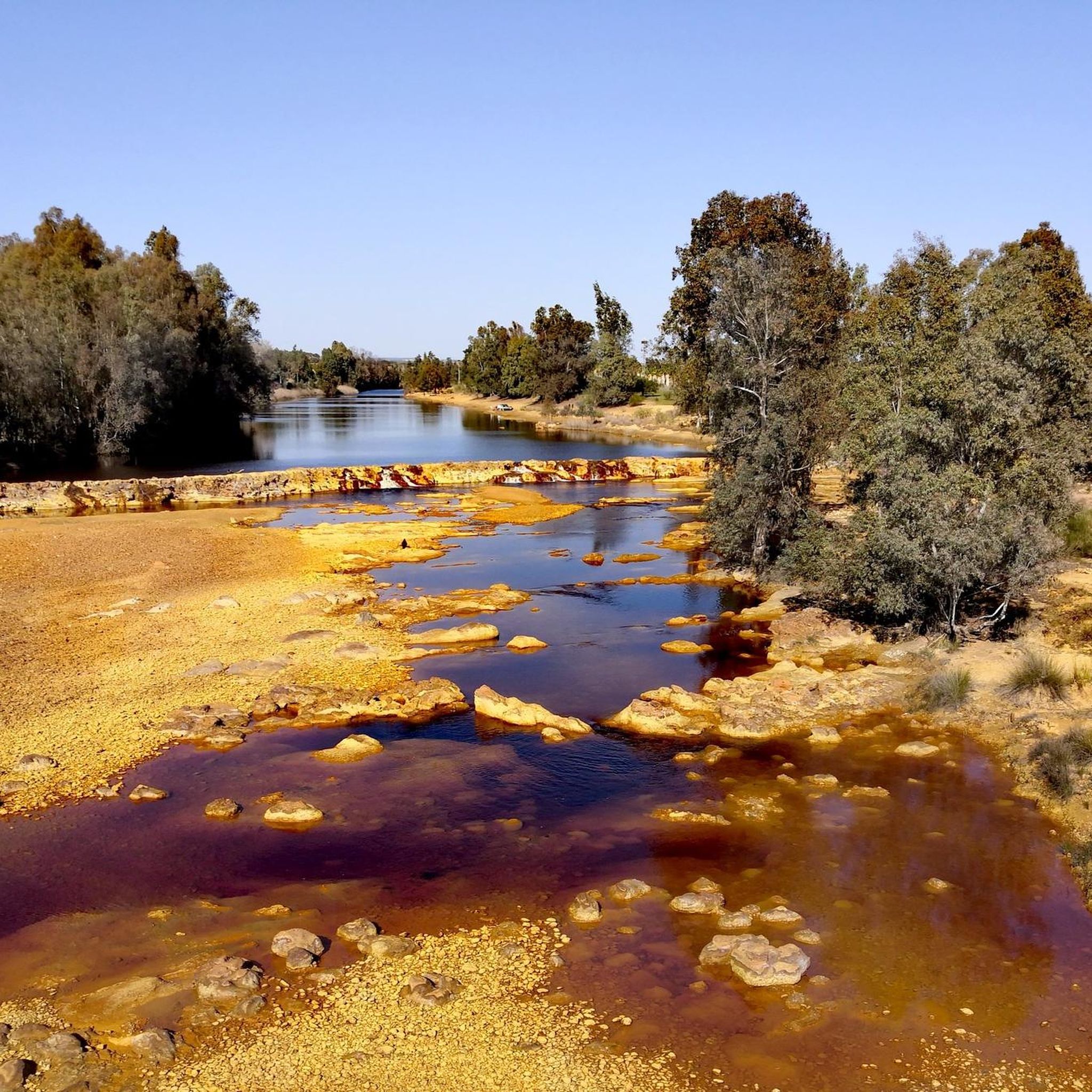
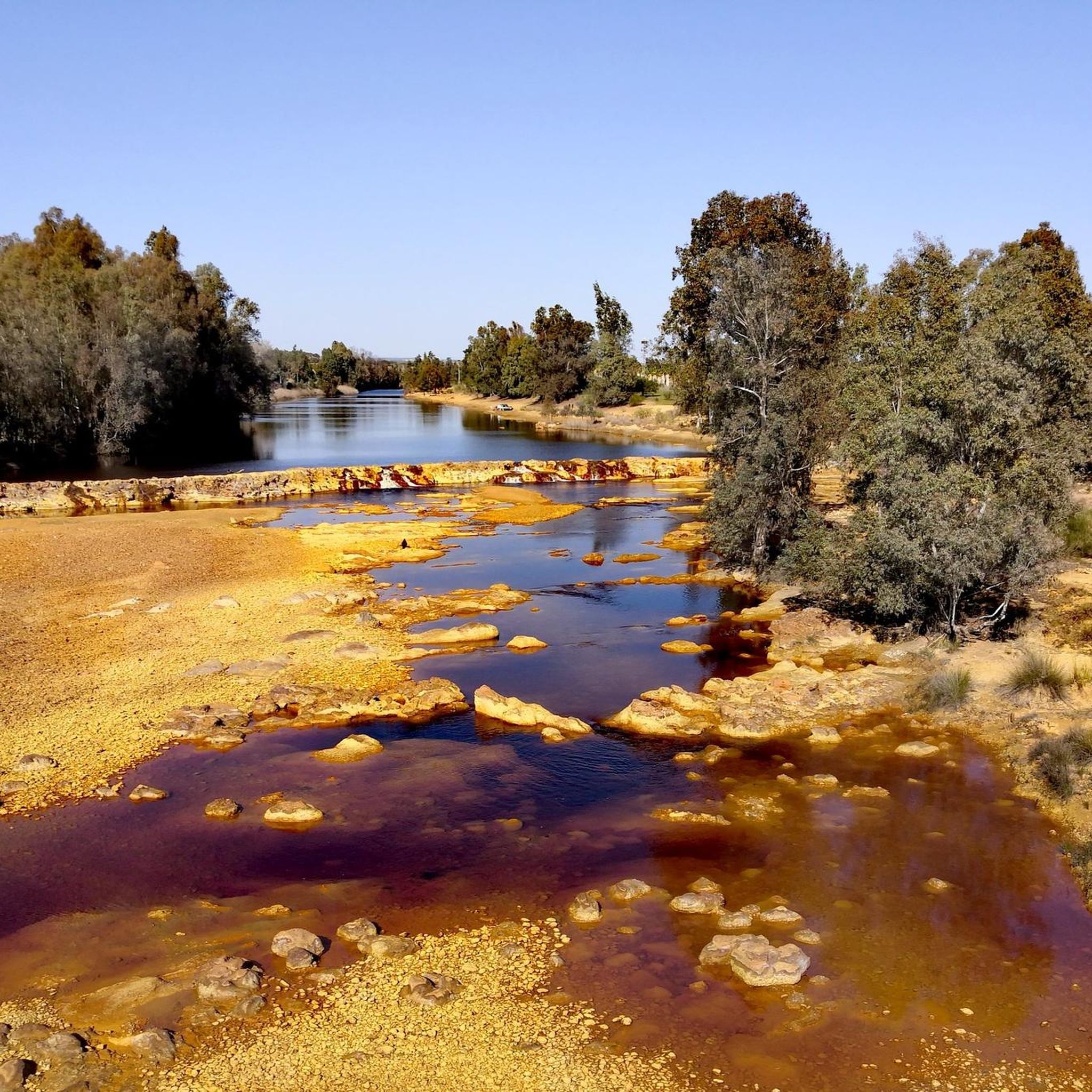
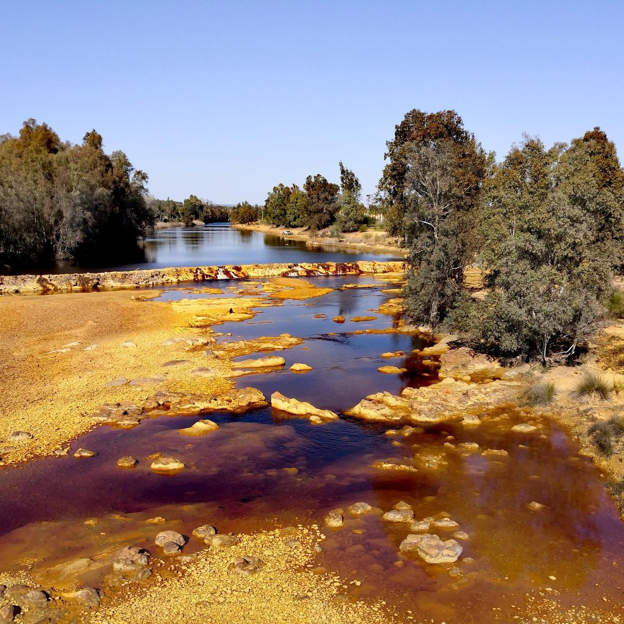
Beautiful Roman bridge over the Rio Tinto.
1
0

Its main productive activity is the cultivation of cereals, sunflowers, olive trees, citrus fruits, legumes, and the breeding of sheep, pigs and wild cattle. Its important monuments include the Dolmen de Soto, the Church of San Antón, the Convent of Carmen, the Jesuit College and the Hermitage of Santa Misericordia.
1
0
The Parish Church of Nuestra Señora de la Granada is one of the most representative temples of the Sevillian Baroque. It was built in the 18th century on the ruins of the old Mudejar parish from the 14th century, which was demolished by the Lisbon earthquake of 1755. The only part of this temple that survived was the tower, very similar to the Giralda in Seville.
1
0
Its main productive activity is the cultivation of cereals, sunflowers, olive trees, citrus fruits, legumes, and the breeding of sheep, pigs and wild cattle. Its important monuments include the Dolmen de Soto, the Church of San Antón, the Convent of Carmen, the Jesuit College and the Hermitage of Santa Misericordia.
2
0
Frequently Asked Questions
How many hiking trails are available around Trigueros?
Trigueros offers a good selection of hiking opportunities, with over 15 trails to explore. These routes cater to various preferences, from easy strolls to more challenging treks through the Andalusian countryside.
Are there any easy hiking trails suitable for beginners or families in Trigueros?
Yes, Trigueros has several easy trails perfect for beginners or families. An excellent option is the Fog - circular tour to the walled city, which is 4.2 miles (6.8 km) long and generally takes less than two hours to complete. This route is suitable for all skill levels.
What kind of natural features can I expect to see on hikes around Trigueros?
Hiking around Trigueros allows you to experience diverse natural landscapes typical of the Huelva province. You'll find accessible paths winding through the Andalusian countryside, with varied ecosystems. The wider region is known for its marshes, beaches, and forests, offering a rich natural backdrop for your walks.
Are there any circular hiking routes in the Trigueros area?
Yes, many routes around Trigueros are circular, offering convenient starting and ending points. A notable circular route is the Dolmen de Soto Loop from Niebla, which is a moderate 10.8-mile (17.4 km) path exploring the ancient megalithic monument and its surroundings.
What historical landmarks or attractions can I visit while hiking near Trigueros?
Trigueros is rich in historical significance. The most prominent landmark is the Dolmen de Soto, an impressive megalithic monument dating back to 3000-2500 BC. You can explore this ancient site via the Dolmen de Soto Loop from Niebla. Additionally, nearby attractions include the historic Niebla Castle and the Roman Bridge 🌉 Niebla.
What is the best time of year to go hiking in Trigueros?
The Huelva province, where Trigueros is located, enjoys a mild climate for much of the year. This makes it an ideal destination for hiking across different seasons. Spring and autumn generally offer the most comfortable temperatures for extended walks.
Are there any longer or more challenging hikes available for experienced hikers?
For those seeking a greater challenge, Trigueros and its surroundings offer longer routes. The Moguer - Palos de la Frontera – circular by the Río Tinto is a difficult 13.4-mile (21.5 km) trail, providing a more demanding experience.
What do other hikers say about the trails in Trigueros?
The hiking routes in Trigueros are well-regarded by the komoot community, holding an average rating of 3.2 stars from 4 reviews. Hikers often praise the accessible paths and the diverse natural areas that make for an enjoyable outdoor experience.
Can I find trails that connect to larger hiking networks from Trigueros?
Yes, Trigueros is connected to broader hiking initiatives. It serves as a gateway to routes like the "Huelva por la TransAndalus" natural routes and the "Camino Xacobeo Sur Huelva-Zafra," which is part of the Camino de Santiago. These connections offer opportunities for longer, more extensive treks beyond the immediate area.
Are there any trails that feature reservoirs or water bodies?
Yes, you can find routes that incorporate water features. The Campanario Reservoir - Vía Verde de los Molinos del Agua Loop is a moderate 8-mile (12.9 km) hike that takes you around the reservoir, offering scenic views and a different natural environment.
What is the typical duration for a moderate hike in Trigueros?
Moderate hikes in Trigueros can vary in length and duration. For example, the Pilar de la Media Legua – circular from Trigueros via Beas is an 11.9-mile (19.2 km) trail that typically takes around 4 hours and 58 minutes to complete, offering a substantial but manageable outing.
Most popular attractions around Trigueros

Get inspired with the komoot mobile app


Explore more
Browse the best Hikes in other regions.
