The best walks and hikes around Corporales
4.3
(280)
1,374
hikers
89
hikes
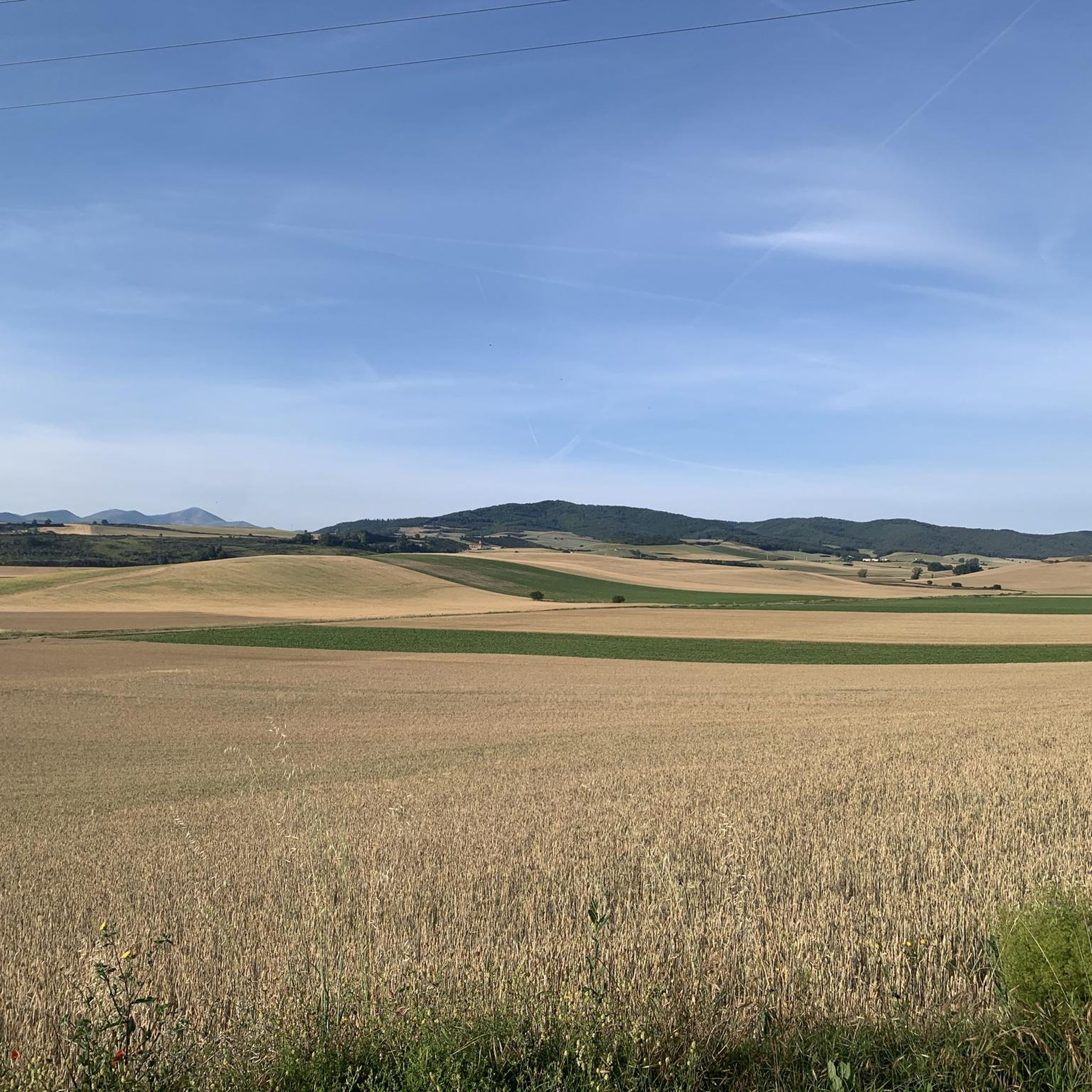
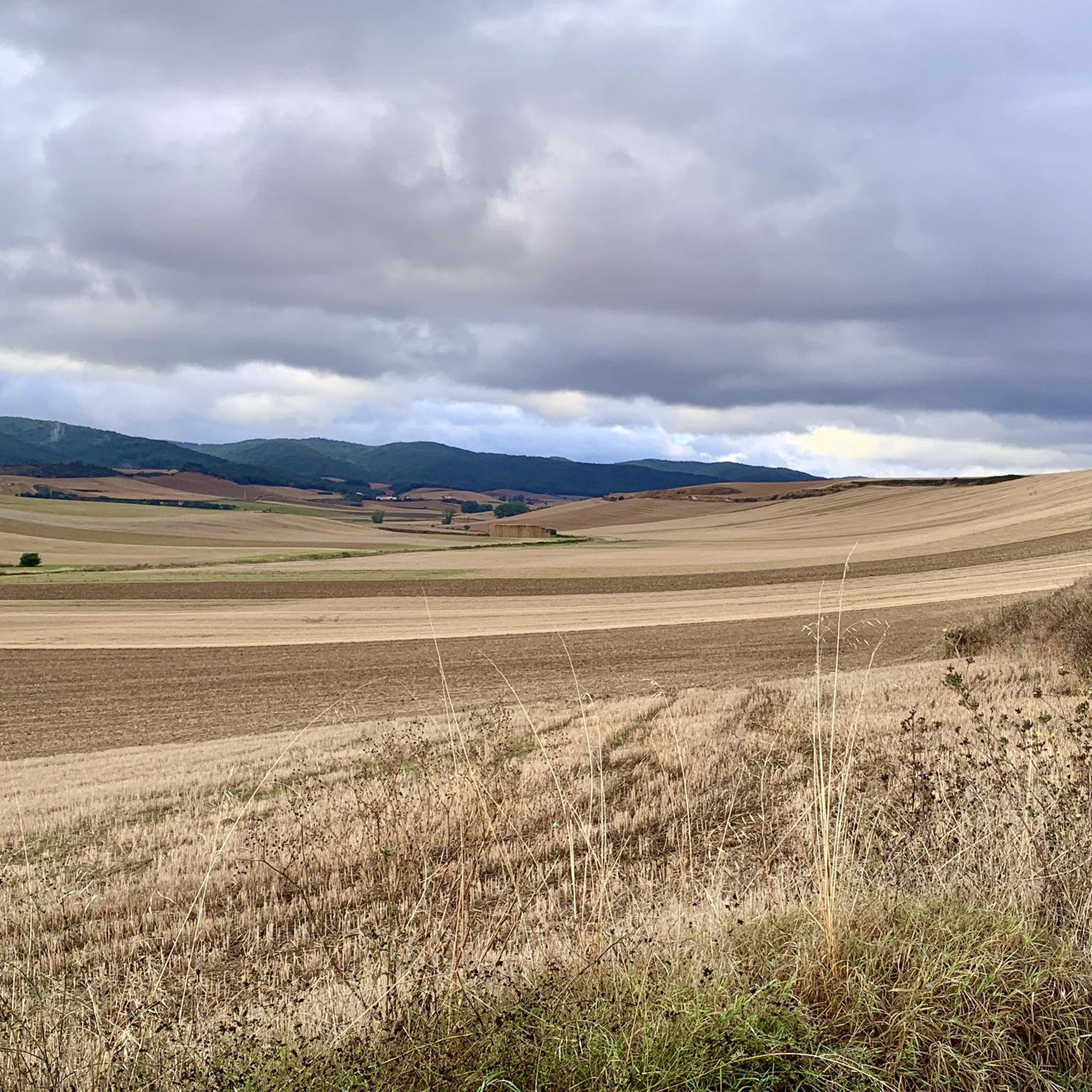
Hiking around Corporales offers a diverse landscape, characterized by rolling hills, agricultural plains, and areas of woodland. The region features a mix of historical sites and natural vistas, providing varied terrain for exploration. Trails often traverse open countryside and connect small villages, with some routes leading to elevated viewpoints. This blend of cultural heritage and natural beauty makes Corporales suitable for different hiking experiences.
Best hiking trails around Corporales
- The most popular hiking route is La Picota and Sampol Loop…
Last updated: July 4, 2026
21.2km
06:07
530m
530m
Hard hike. Very good fitness required. Mostly accessible paths. Sure-footedness required.
4.0
(7)
64
hikers
Moderate hike. Good fitness required. Easily-accessible paths. Suitable for all skill levels.

Sign up for free
5.0
(2)
11
hikers
12.3km
03:48
430m
430m
Moderate hike. Good fitness required. Easily-accessible paths. Suitable for all skill levels.
5.0
(2)
18
hikers
13.9km
03:40
130m
130m
Moderate hike. Good fitness required. Easily-accessible paths. Suitable for all skill levels.
5.0
(1)
9
hikers
6.87km
01:46
30m
30m
Easy hike. Great for any fitness level. Easily-accessible paths. Suitable for all skill levels.
Get access to more routes and recommendations from other explorers.
Sign up for free
Already have an account?
Our route recommendations are based on thousands of hikes, rides, and runs completed by other people on komoot.
Start today with a free account
Your next adventure awaits.
Login or Signup

Tips from the Community

Rest area for pilgrims "Cruz de los Valientes", halfway between Santo Domingo de la Calzada and Grañón.
0
0
Rest area for pilgrims at the entrance to Santo Domingo de la Calzada.
0
0

The pilgrimage route repeatedly involves crossing valleys and rivers like the Rio Oja – as here at Santo Domingo de la Calzada. The bridges are sometimes relatively modern, sometimes medieval, and sometimes even older.
1
0

If you climb the stairs between the paintings to follow the Camino, you'll see a small food truck on your right, offering a small selection of food, coffee, tea, and freshly squeezed orange juice. In the small green area opposite, you can enjoy your meal at small groups of tables and chairs. It's an excellent place for breakfast after the first 6 km from Santo Domingo de la Calzada toward Belorado.
0
0

Grañón is a village on the Camino Francés on the leg to Belorado. A pleasant café invites you to take a break here.
0
0


It crosses the Oja River, connecting different parts of the city. Built in the 12th century by Saint Dominic de la Calzada to facilitate the passage of pilgrims on the Camino de Santiago. The stone bridge features several arches, a fine example of medieval engineering.
2
0
The Torreón de Sor María de Leiva is one of the historical attractions of Santo Domingo de la Calzada. It is part of the walled enclosure of Santo Domingo de la Calzada. Built between the 14th and 16th centuries, the tower is an example of the defensive architecture of the period. The tower and its surroundings offer excellent opportunities for photography, especially at sunset.
1
0
Frequently Asked Questions
How many hiking trails are available in Corporales?
Corporales offers a wide selection of hiking routes, with nearly 100 trails to explore. This includes over 20 easy routes, 57 moderate trails, and 14 more challenging options, catering to various fitness levels.
Are there easy hiking trails suitable for beginners in Corporales?
Yes, Corporales features over 20 easy hiking routes perfect for beginners or those seeking a relaxed walk. An example is the Paseo del Espolón loop from Santo Domingo de la Calzada, which is an easy 6.9 km path.
What kind of hikes are suitable for families with children in Corporales?
Many of the easier trails in Corporales are suitable for families. These routes often traverse open countryside and connect small villages, providing gentle walks with minimal elevation gain. Look for shorter, well-maintained paths that offer points of interest along the way.
Can I bring my dog on hikes in Corporales?
Generally, dogs are welcome on most hiking trails in Corporales. However, it's always advisable to keep your dog on a leash, especially when passing through agricultural areas or near livestock, and to check local regulations for specific trails or protected areas.
Are there any circular walks in Corporales?
Yes, Corporales has numerous circular walks that allow you to start and end at the same point. An example is the La Picota and Sampol Loop from Grañón, a 21.2 km trail offering varied terrain and scenic views.
What are some interesting landmarks or attractions to see along the hiking trails in Corporales?
The region is rich in historical sites and natural beauty. You can encounter landmarks such as the Santo Domingo de la Calzada Cathedral or the Santo Domingo de la Calzada Bridge. For natural sights, look for the Rock formations on the banks of the Tirón River or the Summit of La Picota (El Hermoso) for panoramic views.
What do other hikers enjoy the most about hiking in Corporales?
The hiking trails in Corporales are highly rated by the komoot community, with an average score of 4.3 stars from over 260 reviews. Hikers often praise the diverse landscape, which includes rolling hills, agricultural plains, and areas of woodland, as well as the blend of cultural heritage and natural vistas.
Are there any less crowded hiking options in Corporales?
While some popular routes can see more foot traffic, Corporales has nearly 100 trails, offering plenty of opportunities to find quieter paths. Exploring trails that connect smaller villages or venturing out during off-peak hours can lead to a more serene hiking experience.
What is the best season for hiking in Corporales?
The best season for hiking in Corporales generally depends on personal preference. Spring and autumn offer pleasant temperatures and vibrant scenery, while summer can be warm but ideal for early morning or late afternoon hikes. Winter hikes are also possible, especially on lower elevation trails, though conditions can vary.
Are there any cafes or places to eat near the hiking trails in Corporales?
Many hiking routes in Corporales connect small villages, which often have local cafes, restaurants, or shops where you can refuel. It's a good idea to check the specific route you plan to take for amenities along the way or in nearby towns like Santo Domingo de la Calzada.
Are there any trails that pass through historical sites?
Yes, Corporales is known for its blend of natural beauty and cultural heritage. Trails like the Cistercian Abbey – Entrance to the city loop from Santo Domingo de la Calzada explore historical sites and pass through rural landscapes, offering a glimpse into the region's past.
What should I pack for a hike in Corporales?
For hiking in Corporales, essential items include comfortable hiking shoes, water, snacks, sun protection (hat, sunscreen), and appropriate layers of clothing for changing weather conditions. A map or GPS device is also recommended, especially for longer or less-trafficked routes.
Most popular routes around Corporales
Most popular attractions around Corporales

Get inspired with the komoot mobile app


Explore more
Browse the best Hikes in other regions.
