The best walks and hikes around Valle De Mena
4.6
(35)
241
hikers
30
hikes
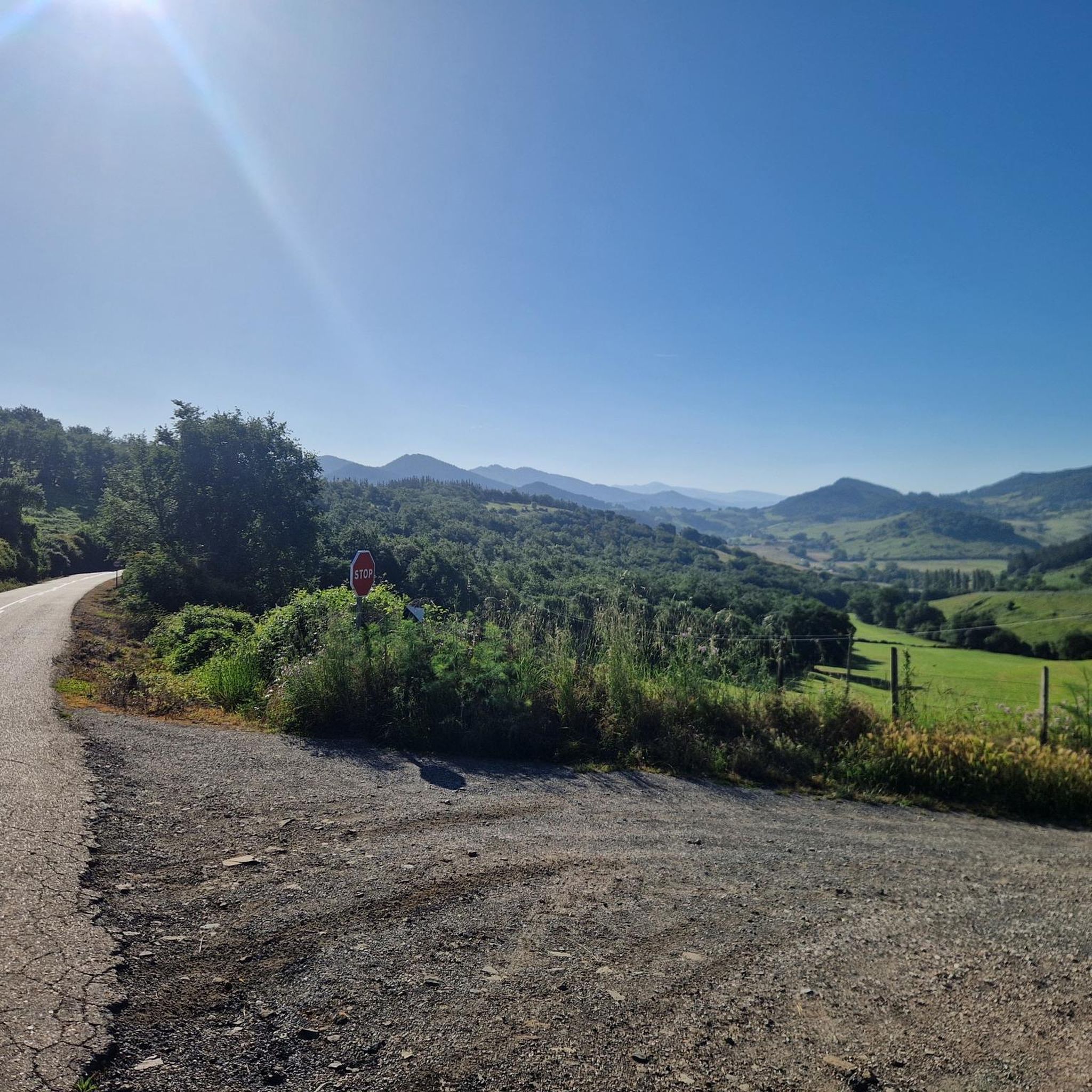
Hiking around Valle De Mena offers diverse landscapes within a mountainous amphitheater, bordered by the Montes de Ordunte, Montes de la Peña, and Sierra Salvada. The region features lush vegetation, including beech, holm oak, and pine trees, alongside extensive green pastures. Numerous water features, such as the source of the Cadagua River and several waterfalls, characterize the terrain. Hikers can explore varied environments, from riverbanks to mountain ascents.
Best hiking trails around Valle De Mena
- The most popular hiking route…
Last updated: May 10, 2026
5.0
(1)
6
hikers
5.30km
01:33
150m
150m
Easy hike. Great for any fitness level. Easily-accessible paths. Suitable for all skill levels.
4.0
(2)
4
hikers
19.1km
06:32
990m
990m
Hard hike. Very good fitness required. Mostly accessible paths. Sure-footedness required.

Sign up for free
4.0
(1)
3
hikers
14.2km
04:28
550m
550m
Moderate hike. Good fitness required. Mostly accessible paths. Sure-footedness required.
8.74km
02:28
190m
190m
Moderate hike. Good fitness required. Mostly accessible paths. Sure-footedness required.
20.1km
07:06
1,030m
1,030m
Hard hike. Very good fitness required. Mostly accessible paths. Sure-footedness required.
Get access to more routes and recommendations from other explorers.
Sign up for free
Already have an account?
Our route recommendations are based on thousands of hikes, rides, and runs completed by other people on komoot.
Start today with a free account
Your next adventure awaits.
Login or Signup
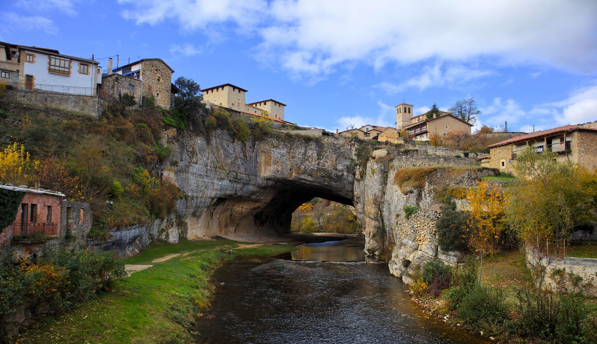
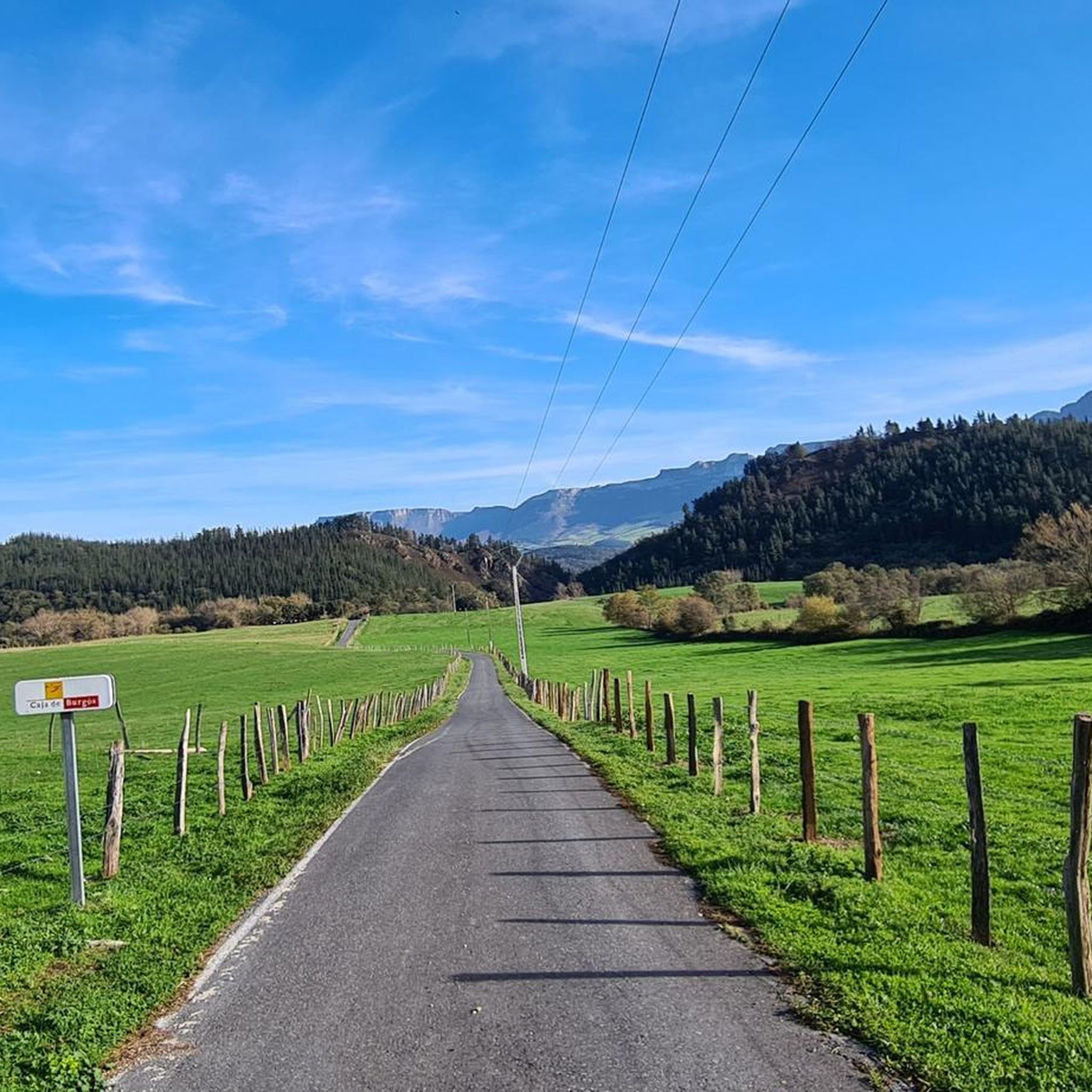
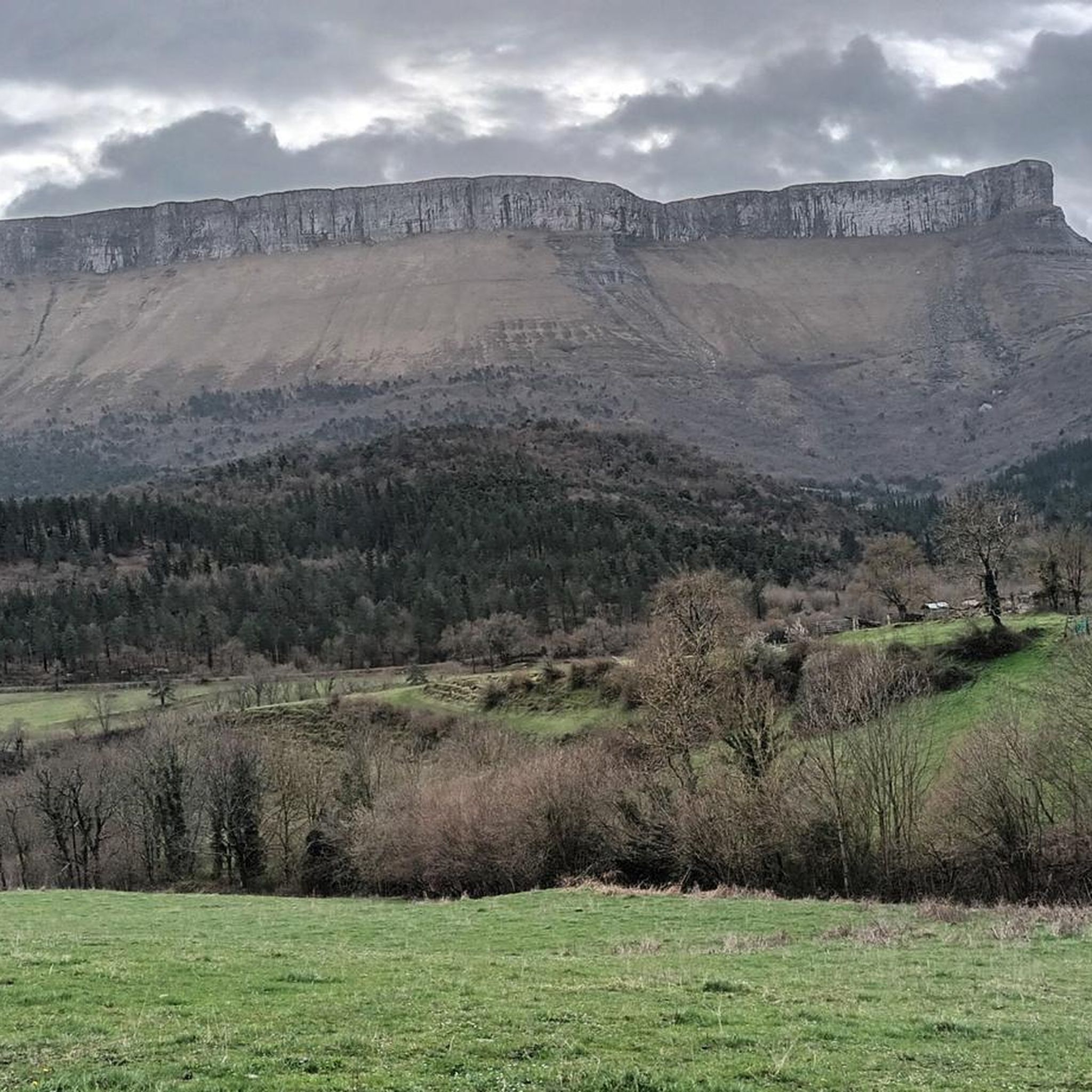
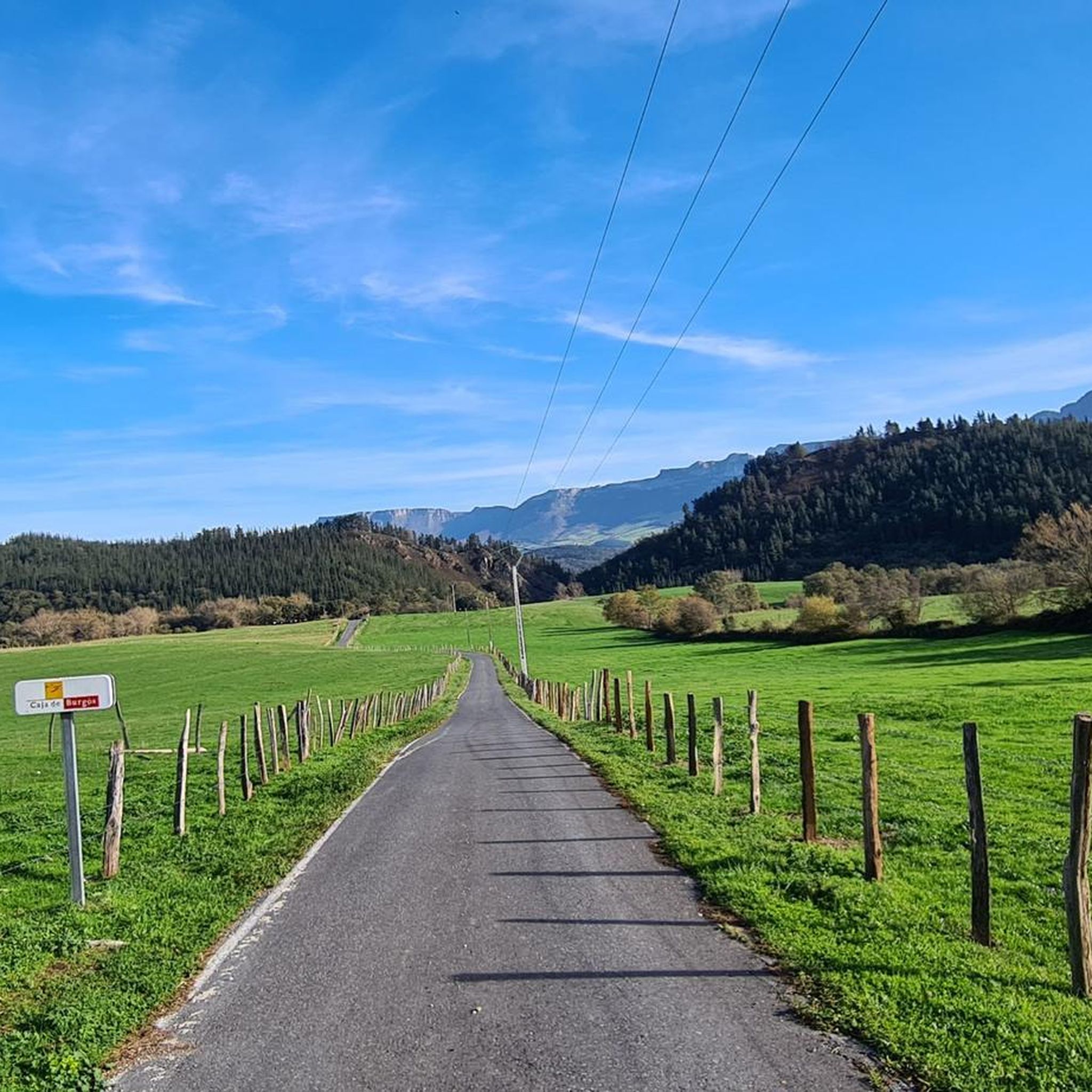

Other adventures around Valle De Mena

Tips from the Community

When the river is low with water, it is difficult to cross it to reach the interior.
3
0
Spectacular hermitage at the very top of Kolitza.
3
0

Views of the mountain located to the east called Burgueño, on rounded slopes with no forest vegetation.
0
0
This is one of the highest mountains of the Montes de Orduente on its western side and offers good views of all the lands that are on both sides of the mountain range.
0
0
From this point you can see the waters of the Orduente Reservoir and all of its streams. The panoramic view is breathtaking.
0
0
Hornes is a small town that is located near the Ordunte Reservoir, just above the same swamp and on its west side.
1
0
Beautiful reservoir in a very beautiful area. You can take a walk around the 10km reservoir. It has an area with tables and benches to relax and enjoy the views of the reservoir.
1
0
Beautiful long in the middle of nature and where the Río Cadagua is born in the middle of the Montes de la Peña. Depending on the time of year, this birth can be found more or less full of water and where sometimes, you have to go to look for the birth a few meters below.
0
0
Frequently Asked Questions
How many hiking trails are available in Valle De Mena?
Valle De Mena offers a diverse network of over 30 hiking trails. These routes cater to various fitness levels, with 11 easy, 13 moderate, and 6 difficult options to explore the region's landscapes.
Are there easy hiking trails suitable for beginners or families in Valle De Mena?
Yes, Valle De Mena has 11 easy hiking trails perfect for beginners or families. A popular choice is the Nacimiento del Cadagua Trail, an easy 3.3-mile route that leads to the source of the Cadagua River, featuring waterfalls and meadows.
Can I find trails with waterfalls in Valle De Mena?
Absolutely. Valle De Mena is known for its abundant water features. You can explore trails leading to waterfalls such as Aguasal, El Hijuela, Peñaladros, and San Miguel. The Cascada de Aguasal y Monte de Naviciada — circular desde Laya is a moderate route that takes you past the Cascada de Aguasal.
Are there any circular hiking routes in Valle De Mena?
Yes, many trails in Valle De Mena are designed as circular routes, allowing you to start and end at the same point. Examples include the Forgotten Way and Ordunte Reservoir Loop and the Cascada de Aguasal y Monte de Naviciada — circular desde Laya.
What kind of landscapes can I expect to see while hiking in Valle De Mena?
Valle De Mena offers incredibly diverse landscapes. You'll encounter lush vegetation including beech, holm oak, maple, pine, and oak trees, alongside extensive green pastures. The region is characterized by mountainous amphitheaters, riverbanks, and significant water features like the Cadagua River and Ordunte Reservoir. Higher trails offer panoramic views of the Montes de Ordunte, Montes de la Peña, and Sierra Salvada.
What do other hikers enjoy the most about hiking in Valle De Mena?
The komoot community highly rates hiking in Valle De Mena, with an average score of 4.6 stars from over 30 reviews. Hikers often praise the region's diverse terrain, from easy river walks to challenging mountain ascents, and the abundance of natural beauty, including waterfalls and lush forests.
Are there any historical or cultural attractions along the hiking trails?
Yes, Valle De Mena is rich in history and culture. Many hiking trails pass by Romanesque churches like San Lorenzo de Vallejo and Santa María de Siones. You can also find 15 preserved defensive towers scattered throughout the valley, and an ancient Roman road between Irús and Arceo features small waterfalls.
What is the best time of year to go hiking in Valle De Mena?
Valle De Mena is beautiful year-round, but the best time for hiking generally depends on your preference. Spring and autumn offer pleasant temperatures and vibrant colors, with lush greenery in spring and rich hues in autumn. Summers are warm, ideal for enjoying water features, while winters can offer a different, quieter experience, especially in higher elevations.
Are there any viewpoints or mountain peaks accessible by hiking in Valle De Mena?
Yes, the mountainous terrain of Valle De Mena provides several opportunities for stunning views and peak ascents. You can find highlights like Views of Pico del Fraile, Zalama Summit, and Burgüeno Summit. More challenging routes like the Mount Kolitza and Mount Burueño Loop offer significant elevation gain and panoramic vistas.
What are some notable natural features to look out for on hikes?
Beyond the numerous waterfalls and the source of the Cadagua River, hikers can explore the perimeter trail of the Ordunte Reservoir, known as the "Camino del Calcolítico." The region's diverse forests, including beech, holm oak, and pine, also provide beautiful natural settings for exploration.
Is there parking available near the trailheads in Valle De Mena?
Parking availability varies by trailhead. Many popular starting points, especially near villages like Villasana de Mena or key natural attractions, offer designated parking areas. It's advisable to check specific route details or local information for the best parking options for your chosen hike.
Can I reach hiking trails in Valle De Mena using public transport?
While public transport options exist to reach the Valle De Mena region, direct access to specific trailheads can be limited. Villasana de Mena, the capital, serves as a central hub. For reaching more remote starting points, a car is often recommended for convenience and flexibility.
Most popular attractions around Valle De Mena

Get inspired with the komoot mobile app


Explore more
Browse the best Hikes in other regions.
